
Collection · 22 trails in this catalog
Low-altitude treks
Trails whose sourced high point stays below ~2,500 m — an elevation fact from the DataPoint, not a medical guarantee.
Members are only trails we hold. Lengths are live from each record: OSM 2-D where we have a relation, schematic pin-to-pin where we do not — those schematic figures are not walking distances. Permit status is public-level only (required / none / unverified). Cost and booking stay behind the login gate on each trail page.
Membership is the high-point DataPoint: below 2,500 m, with OSM or Copernicus GLO-30 provenance. Schematic pin samples are not used for this cutoff. Altitude illness is a public safety topic; this page is not a diagnosis.
Countries: Argentina, Australia, Iceland, India, Ireland, Japan, Jordan, Nepal, New Zealand, Norway, Portugal, Türkiye, United Kingdom.
Norway · point-to-point
Besseggen
OSM 14.5 km · Verified
osm:relation:1417687 · 2026-08-24 · osmHigh point: 1,740 m*
copernicus-dem:glo-30 · 2026-08-24 · dem · provisionalNo permit listed
India · out-and-back
Bhongir Fort
0.9 km*
osm:node:660695854 + osm:node:2145324612 + wikipedia:Bhongir_Fort (pin-to-pin 2D, not a walking track) · 2026-08-20 · osm · wikidata · provisionalHigh point: 614 m*
copernicus-dem:glo-30 · 2026-08-20 · dem · provisionalPermit unverified
Portugal · point-to-point
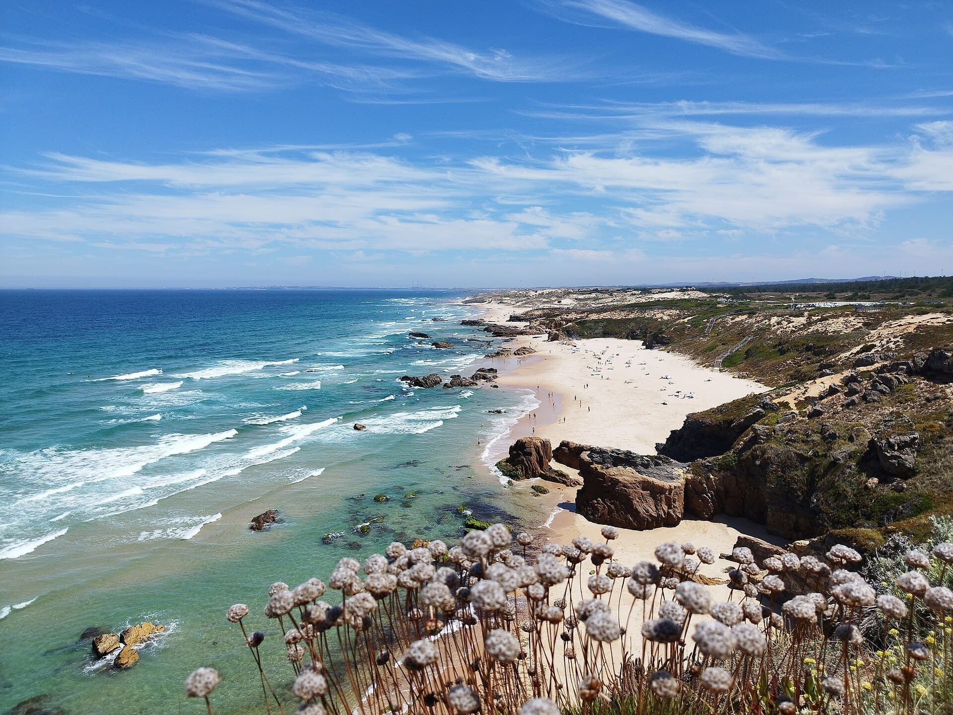
Fishermen's Trail
OSM 222.1 km · Verified
osm:relation:20810605 · 2026-08-24 · osmHigh point: 158 m*
copernicus-dem:glo-30 · 2026-08-24 · dem · provisionalNo permit listed
United Kingdom · point-to-point
Hadrian's Wall Path
OSM 123.7 km*
osm:relation:38791 · 2026-08-24 · osm · provisionalHigh point: 339 m*
copernicus-dem:glo-30 · 2026-08-24 · dem · provisionalNo permit listed
Jordan · point-to-point
Jordan Trail
OSM 646.2 km*
osm:relation:19065729 · 2026-08-20 · osm · provisionalHigh point: 1,497 m*
copernicus-dem:glo-30 · 2026-08-20 · dem · provisionalWater: Plan on about 5 L per full day without resupply (3–4 L in winter or cooler weather). If camping overnight, allow several more litres for cooking and cleaning. Conditions vary — verify locally before you go.
Permit required: Section permits (Petra / Wadi Rum / Dana)
Nepal · point-to-point
Kapuche Glacier Lake
OSM 10.5 km*
osm:relation:17641586 · 2026-08-20 · osm · provisionalHigh point: 2,451 m*
copernicus-dem:glo-30 · 2026-08-20 · dem · provisionalPermit required: ACAP (NTNC entry permit)
New Zealand · loop
Kepler Track
OSM 61.6 km*
osm:relation:1385141 · 2026-08-24 · osm · provisionalHigh point: 1,394 m*
copernicus-dem:glo-30 · 2026-08-24 · dem · provisionalPermit required: DOC Great Walk hut/campsite booking
Ireland · loop
Kerry Way
OSM 184.6 km*
osm:relation:183744 · 2026-08-24 · osm · provisionalHigh point: 380 m*
copernicus-dem:glo-30 · 2026-08-24 · dem · provisionalNo permit listed
India · out-and-back
Khilla Ghanpur
2 km*
wanaparthy.telangana.gov.in · 2026-08-20 · official · provisionalHigh point: 604 m*
copernicus-dem:glo-30 · 2026-08-20 · dem · provisionalPermit unverified
India · out-and-back
Koilkonda Fort
0.1 km*
osm:node:7133194752 + wikipedia:Koilkonda (pin-to-pin 2D, not a walking track) · 2026-08-20 · osm · wikidata · provisionalHigh point: 429 m*
copernicus-dem:glo-30 · 2026-08-20 · dem · provisionalPermit unverified
Japan · point-to-point
Kumano Kodo — Nakahechi (Takijiri to Hongū)
OSM 35.9 km*
osm:relation:17094646 · 2026-08-24 · osm · provisionalHigh point: 702 m*
copernicus-dem:glo-30 · 2026-08-24 · dem · provisionalPermit unverified
Argentina · out-and-back
Laguna de los Tres (Fitz Roy)
9.6 km · schematic — not walking distance*
curated:schematic · 2026-08-25 · editorial · provisionalHigh point: 1,163 m*
copernicus-dem:glo-30 · 2026-08-25 · dem · provisionalPermit unverified
Iceland · point-to-point
Laugavegur
OSM 52.8 km*
osm:relation:1225037 · 2026-08-24 · osm · provisionalHigh point: 1,055 m*
copernicus-dem:glo-30 · 2026-08-24 · dem · provisionalPermit unverified
Türkiye · point-to-point
Lycian Way
OSM 454.5 km*
osm:relation:51855 · 2026-08-20 · osm · provisionalHigh point: 1,782 m*
copernicus-dem:glo-30 · 2026-08-24 · dem · provisionalPermit unverified
New Zealand · point-to-point
Milford Track
OSM 53.6 km*
osm:relation:1385121 · 2026-08-25 · osm · provisionalHigh point: 1,135 m*
copernicus-dem:glo-30 · 2026-08-25 · dem · provisionalPermit required: DOC Great Walk hut booking
Australia · point-to-point
Overland Track
OSM 77.6 km*
osm:relation:1673569 · 2026-08-24 · osm · provisionalHigh point: 1,272 m*
copernicus-dem:glo-30 · 2026-08-24 · dem · provisionalPermit required: Overland Track Pass (booking season) + Tasmania parks pass (winter)
Norway · out-and-back
Preikestolen
OSM 4.2 km*
osm:relation:5573629 · 2026-08-25 · osm · provisionalHigh point: 625 m*
copernicus-dem:glo-30 · 2026-08-25 · dem · provisionalNo permit listed
India · out-and-back
Rachakonda Fort
1.1 km*
osm:node:5395682099 + wikipedia:Rachakonda_Fort (pin-to-pin 2D, not a walking track) · 2026-08-20 · osm · wikidata · provisionalHigh point: 559 m*
copernicus-dem:glo-30 · 2026-08-20 · dem · provisionalPermit unverified
New Zealand · point-to-point
Routeburn Track
OSM 31.5 km*
osm:relation:1385139 · 2026-08-25 · osm · provisionalHigh point: 1,322 m*
copernicus-dem:glo-30 · 2026-08-25 · dem · provisionalPermit required: DOC Great Walk hut/campsite booking
New Zealand · point-to-point
Tongariro Alpine Crossing
OSM 19.7 km*
osm:relation:104369 · 2026-08-25 · osm · provisionalHigh point: 1,862 m*
copernicus-dem:glo-30 · 2026-08-25 · dem · provisionalNo permit listed
New Zealand · loop
Tongariro Northern Circuit
OSM 44.2 km · Verified
osm:relation:173345 · 2026-08-24 · osmHigh point: 1,862 m*
copernicus-dem:glo-30 · 2026-08-24 · dem · provisionalPermit required: DOC Great Walk hut/campsite booking
United Kingdom · point-to-point
West Highland Way
OSM 153.2 km*
osm:relation:16287 · 2026-08-20 · osm · provisionalHigh point: 554 m*
copernicus-dem:glo-30 · 2026-08-20 · dem · provisionalNo permit listed
Also in this desk: Collections · How long is the trail? · Argentina · Australia · Iceland · India · Ireland · Japan · Jordan · Nepal · New Zealand · Norway · Portugal · Türkiye · United Kingdom.
Questions
Is this a medical guarantee?
No. The 2,500 m line is a rough AMS-discussion threshold used as an elevation cutoff on sourced high-point DataPoints. It is not medical advice. Acute mountain sickness can occur lower; fitness and recent exposure vary. See a clinician for personal advice.
How was this list chosen?
A trail qualifies when its high-point DataPoint is below 2,500 m and the provenance is a measured OSM or Copernicus GLO-30 sample. Schematic pin-to-pin high points are excluded — they are not a basis for an altitude claim. Pending or seed approximations are excluded.