
Argentina
AR
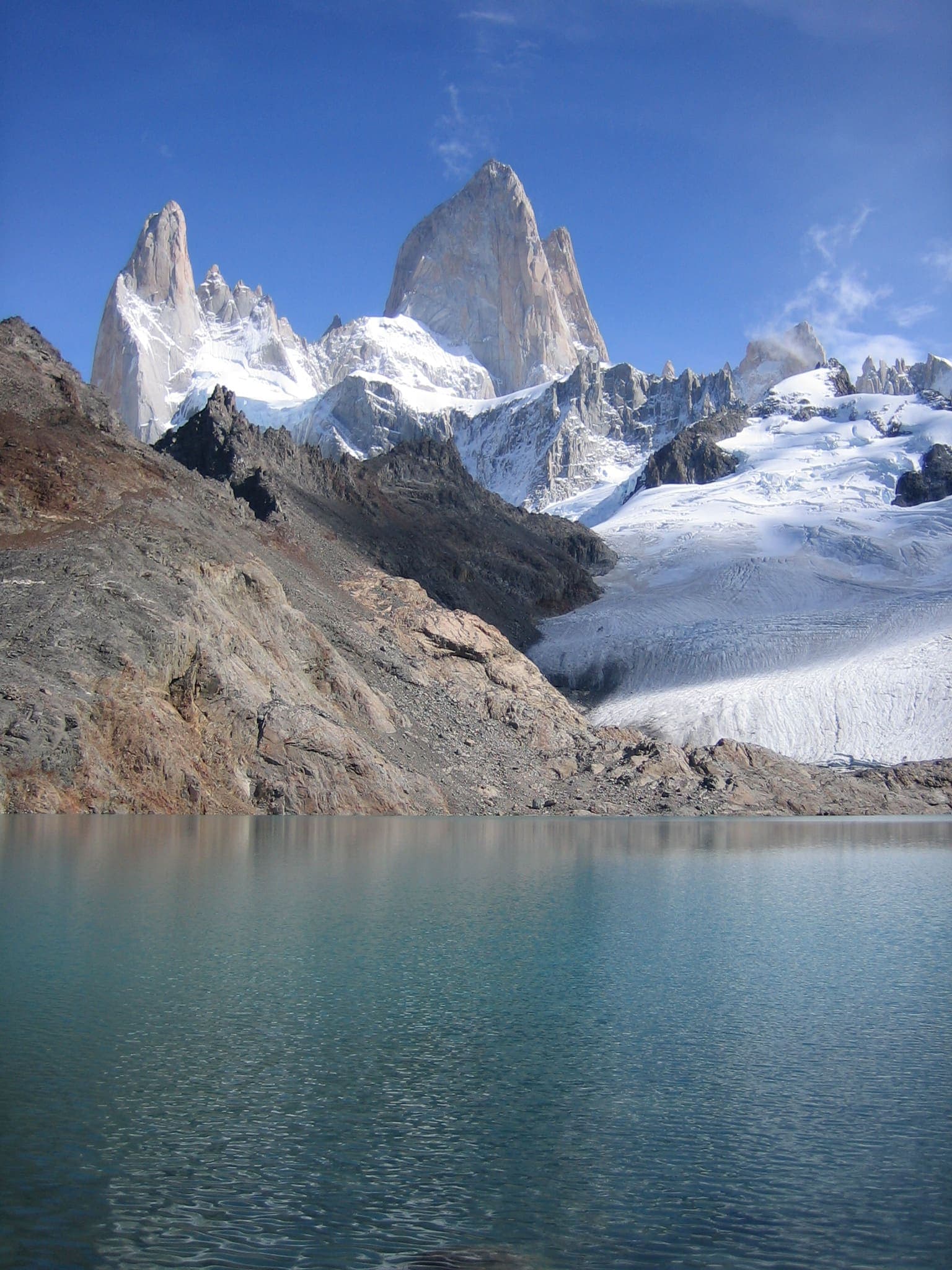
Argentina opens here in Los Glaciares — granite spires and glaciers around El Chaltén and Mount Fitz Roy, the Patagonia pair to Chile's Torres del Paine. The first record is the Laguna de los Tres day-hike schematic from town; APN publishes a Zona Norte entrance tariff (amount unverified on this desk). Rapid Patagonian weather is the public hazard.
Regions
4 recordsSouth America
Mendoza
Aconcagua Provincial Park. Mendoza Province issues the ascent and trekking permits, not the national park service.
South America
Nahuel Huapi
Lake-district national park around Bariloche. Several treks need a free online registration.
South America
Jujuy
Quebrada de Humahuaca, the highland valley in Jujuy. Viewpoint pins were not all resolved.
South America
Los Glaciares
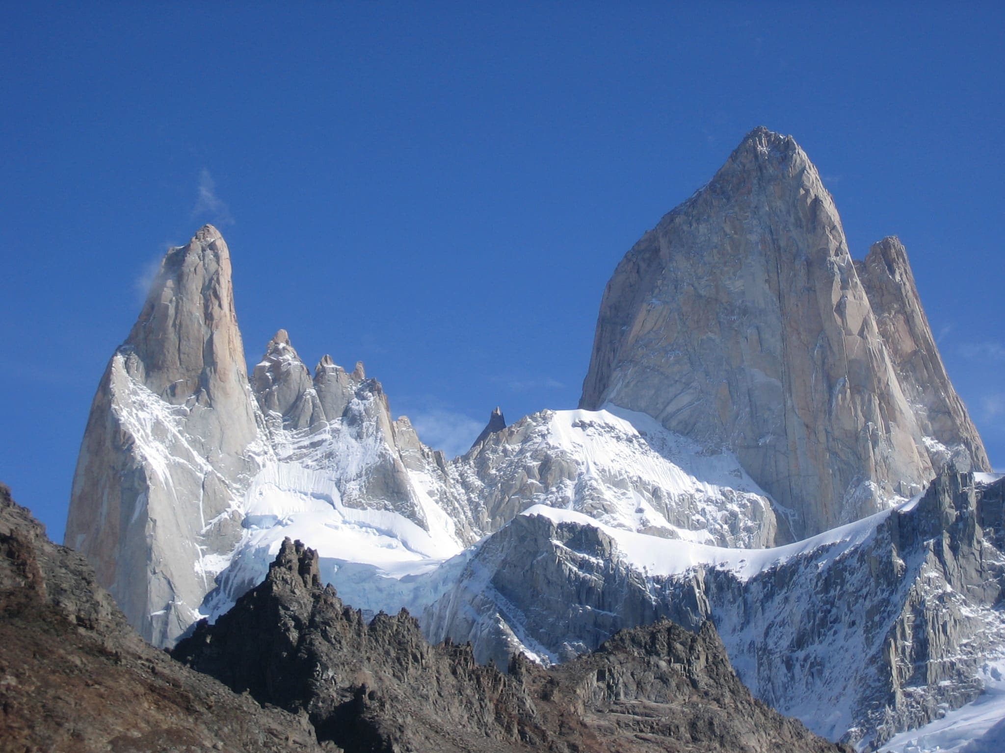
Argentine Patagonia's national park of granite spires and glaciers around El Chaltén and Mount Fitz Roy.
Trails
12 records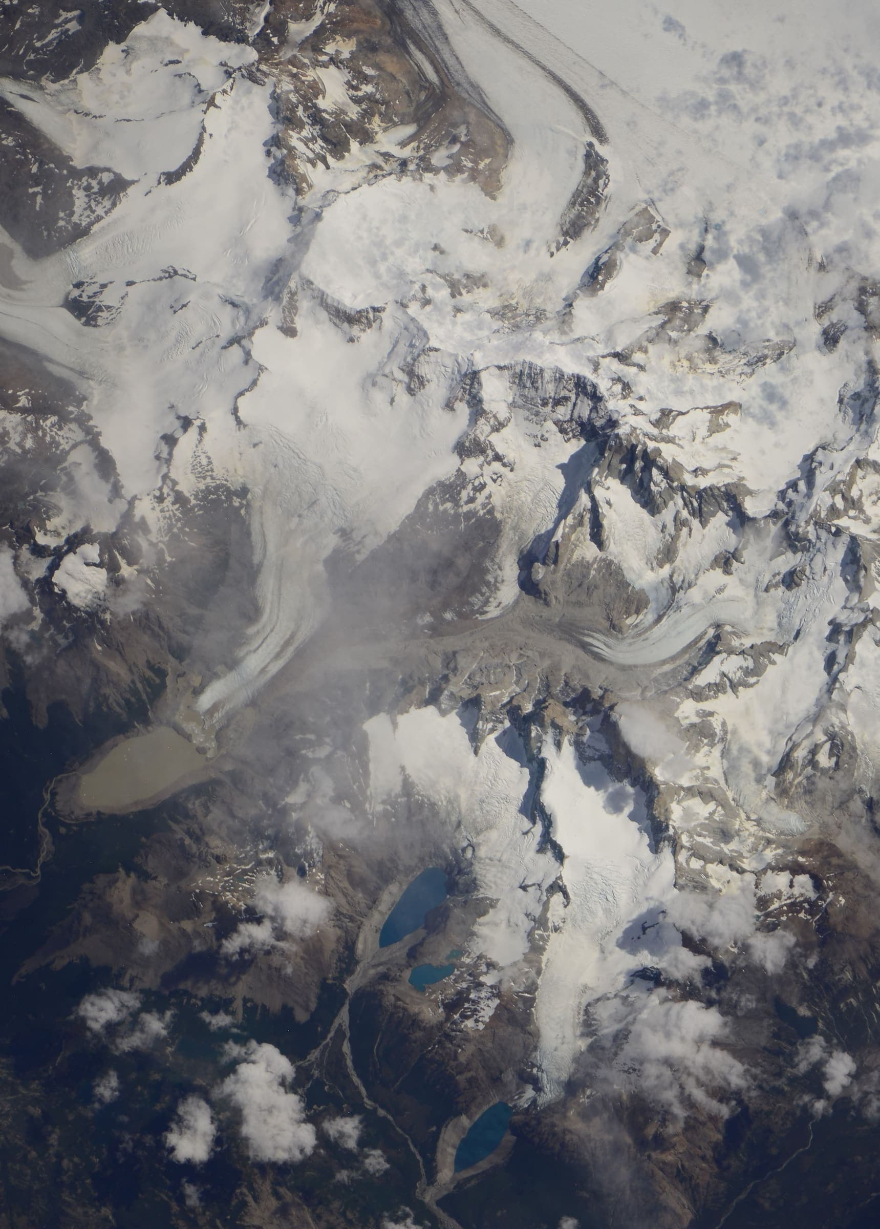
T2 · 9.6 km · 1d
Laguna de los Tres (Fitz Roy)
Curated schematic — not walking distance. Pin-to-pin OSM named-waypoint line from El Chaltén to Laguna de los Tres (9.6 km one-way). Return retraces; the stored line is not doubled. Vertical figures are a GLO-30 sample of those pins, not a walking profile. typicalDays 1 is the published day-hike (typical, not a statute).
T2 · 333 km · 17d
Greater Patagonian Trail Section 21: Valle el Callao
Greater Patagonian Trail Section 21: Valle el Callao — tail catalogue entry from OSM relation 6814202. Geometry and elevation are OSM/GLO-30 and provisional. No special permit known; verify locally.
T2 · 161.2 km · 8d
Vuelta al Huemul
Vuelta al Huemul — tail catalogue entry from OSM relation 9365907. Geometry and elevation are OSM/GLO-30 and provisional. No special permit known; verify locally.
T2 · 8.49 km · 1d
Laguna Torre (Cerro Torre)
Schematic El Chaltén to Laguna Torre. Not a GPS track. DEM high 634 m. Cerro Torre 3,128 m is a landmark. No fee where the permit block says none. Return is not doubled.
T3 · 0 km · 1d
Loma del Pliegue Tumbado
Only El Chaltén resolved. The viewpoint pin was not drawn. Spine incomplete.
T5 · 22.29 km · 1d
Aconcagua
Schematic Horcones to Plaza de Mulas. Not a GPS track. DEM high 4,373 m is the camp. Aconcagua 6,961 m is a landmark. Summit GLO-30 6,896 m is unused.
T3 · 0 km · 1d
Refugio Frey
One pin, the Frey hut, DEM 1,749 m. The trailhead was unresolved, so high and low are the same hut sample. The approach was not invented.
T3 · 2.11 km · 1d
Cerro Catedral
Schematic Frey hut to the Catedral peak pin. Not a GPS track. DEM high 2,044 m. Cited ~2,405 m is a landmark.
T3 · 7.14 km · 1d
Cerro Tronador (Refugio Otto Meiling)
Schematic Pampa Linda to Refugio Otto Meiling. Not a GPS track. DEM high 1,878 m is the hut. Cerro Tronador 3,491 m is a landmark.
T1 · 0 km · 1d
Perito Moreno Glacier Walkways
One pin: the boardwalk attraction, DEM 296 m. The glacier body (relation 5944197) is related, not this line.
T4 · 0 km · 1d
Huemul Circuit
Loop. Only El Chaltén resolved. Laguna Toro, Paso del Viento, and Bahía Túnel were not drawn. Spine incomplete.
T2 · 15.39 km · 1d
Quebrada de Humahuaca
Schematic Humahuaca town to Mirador del Hornocal. Not a GPS track. DEM high 4,301 m at the 14-colores viewpoint. Serranía de Hornocal 4,761 m is a landmark.