
Los Glaciares
Argentina · AR
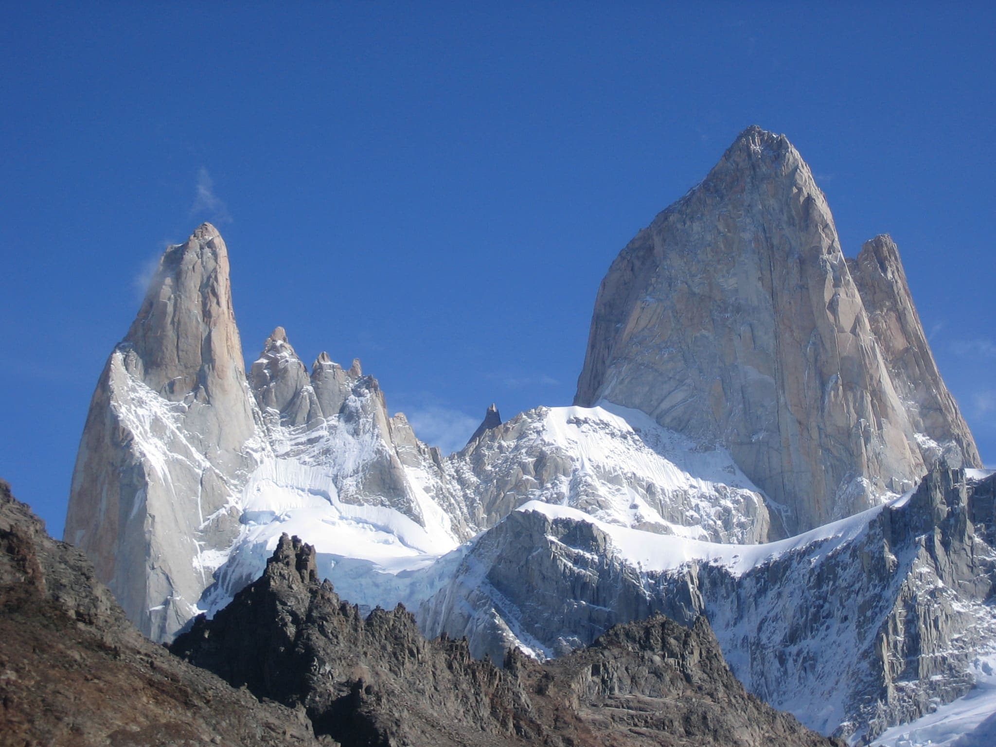
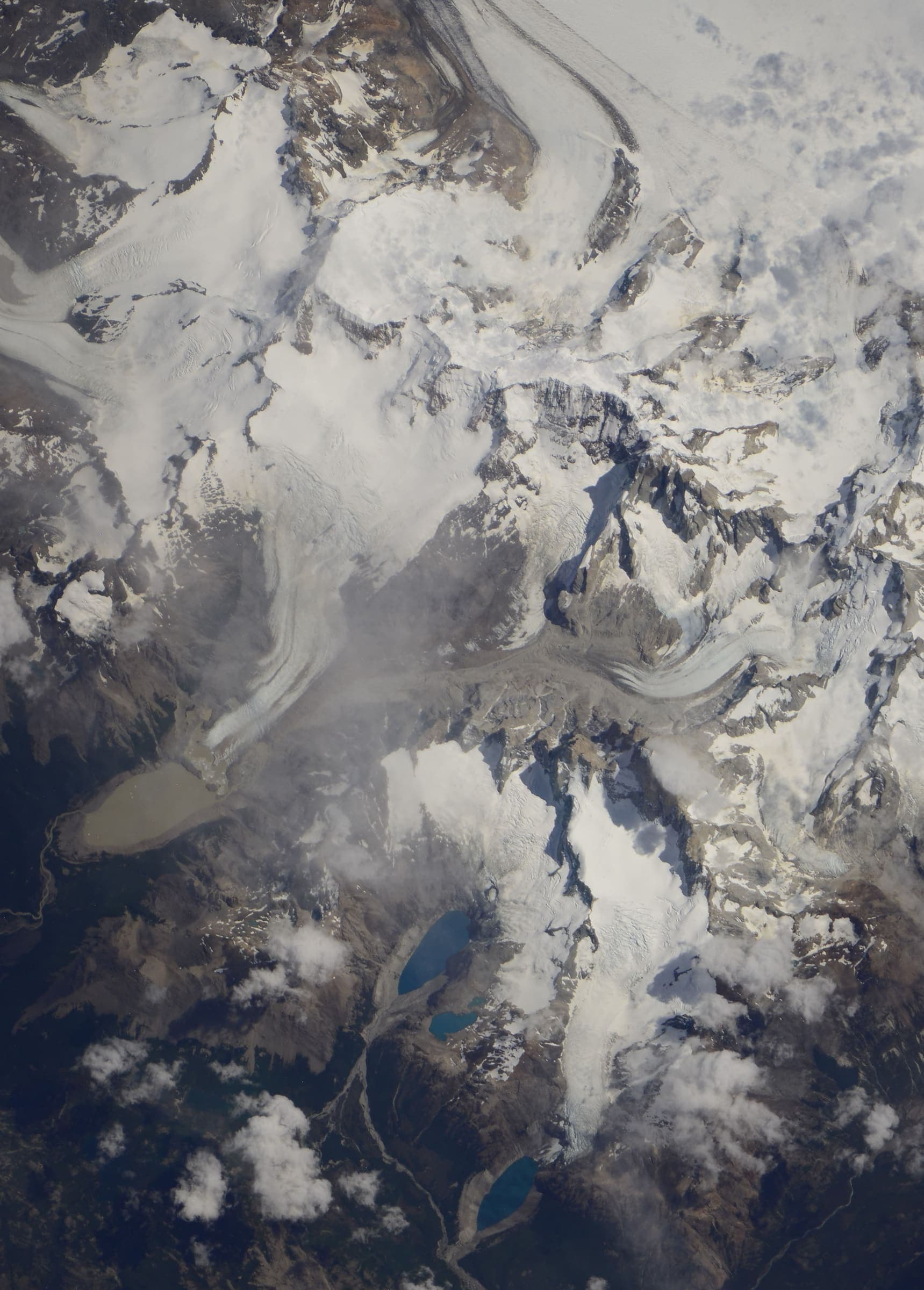
Argentine Patagonia's national park of granite spires and glaciers around El Chaltén and Mount Fitz Roy.
T2 · 9.6 km · 1d
Laguna de los Tres (Fitz Roy)
Curated schematic — not walking distance. Pin-to-pin OSM named-waypoint line from El Chaltén to Laguna de los Tres (9.6 km one-way). Return retraces; the stored line is not doubled. Vertical figures are a GLO-30 sample of those pins, not a walking profile. typicalDays 1 is the published day-hike (typical, not a statute).
T2 · 161.2 km · 8d
Vuelta al Huemul
Vuelta al Huemul — tail catalogue entry from OSM relation 9365907. Geometry and elevation are OSM/GLO-30 and provisional. No special permit known; verify locally.
T2 · 8.49 km · 1d
Laguna Torre (Cerro Torre)
Schematic El Chaltén to Laguna Torre. Not a GPS track. DEM high 634 m. Cerro Torre 3,128 m is a landmark. No fee where the permit block says none. Return is not doubled.
T3 · 0 km · 1d
Loma del Pliegue Tumbado
Only El Chaltén resolved. The viewpoint pin was not drawn. Spine incomplete.
T1 · 0 km · 1d
Perito Moreno Glacier Walkways
One pin: the boardwalk attraction, DEM 296 m. The glacier body (relation 5944197) is related, not this line.
T4 · 0 km · 1d
Huemul Circuit
Loop. Only El Chaltén resolved. Laguna Toro, Paso del Viento, and Bahía Túnel were not drawn. Spine incomplete.