
Which trek
A neutral filter over stored fields. It does not rank trails, score fitness, or tell you which one to book. A sentence below is catalog membership from your words, not a ranking or a booking recommendation.
254 records
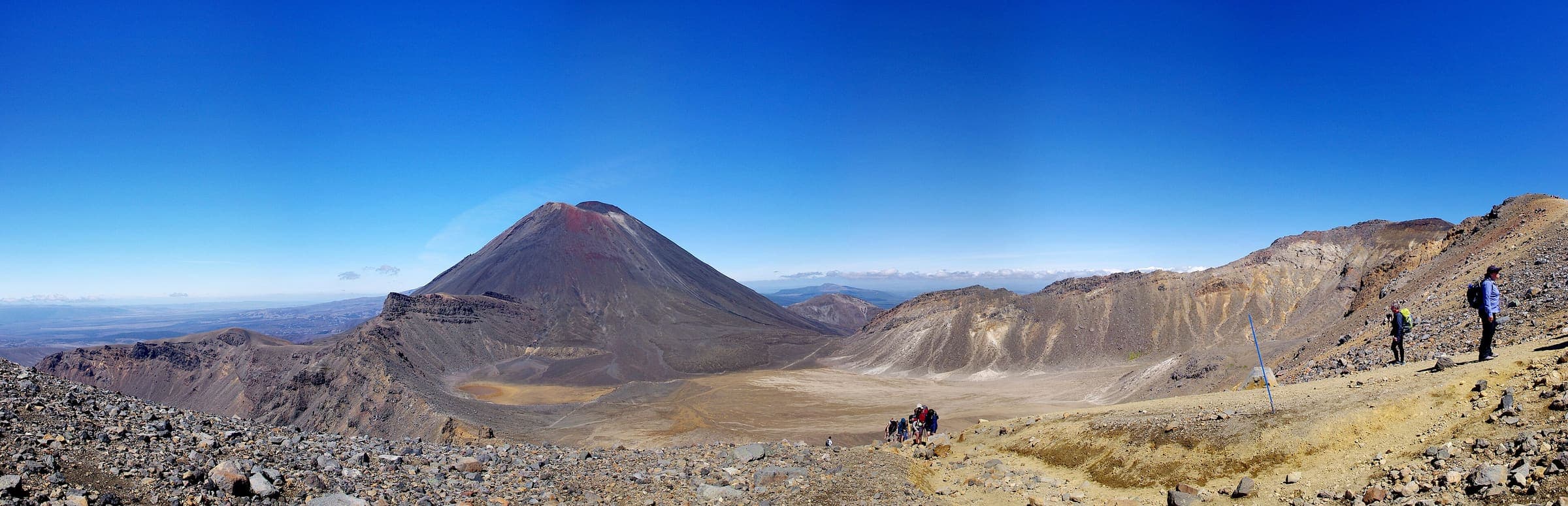
DOC: Great Walk (in season) · SAC T2 (mapped — no official SAC grade) · YDS 1
Tongariro Northern Circuit
Distance 44.2 km Reported · Ascent provisional (DEM sample) · High point provisional (DEM sample) · 4d · SAC T2 · permit
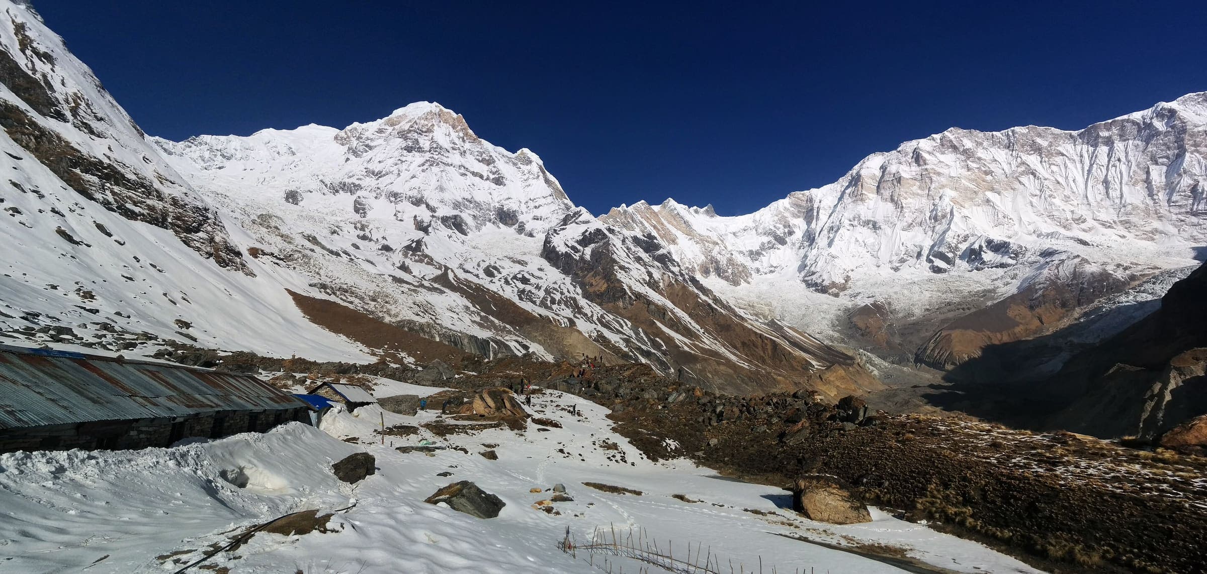
OSM sac_scale: alpine_hiking · SAC T4 · YDS 3
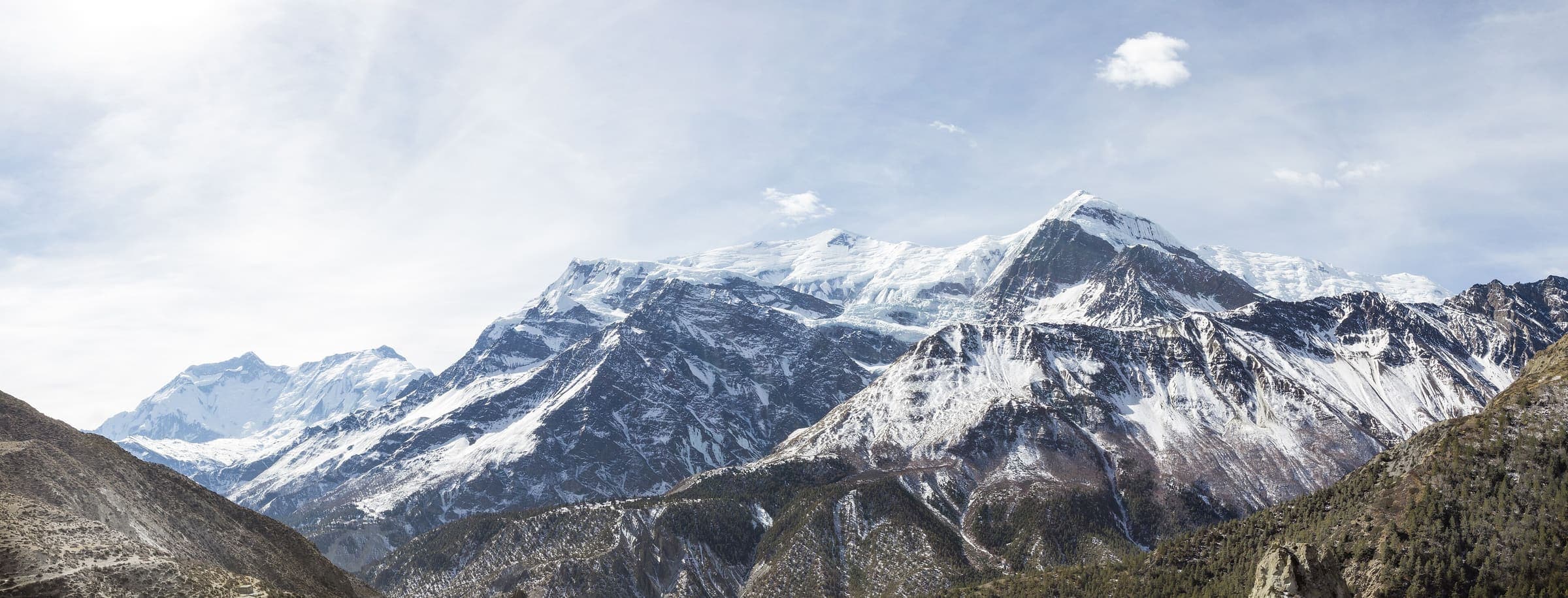
Annapurna Base Camp
Distance 23.88 km Reported · Ascent provisional (DEM sample) · High point provisional (DEM sample) · 11d · SAC T4 · permit
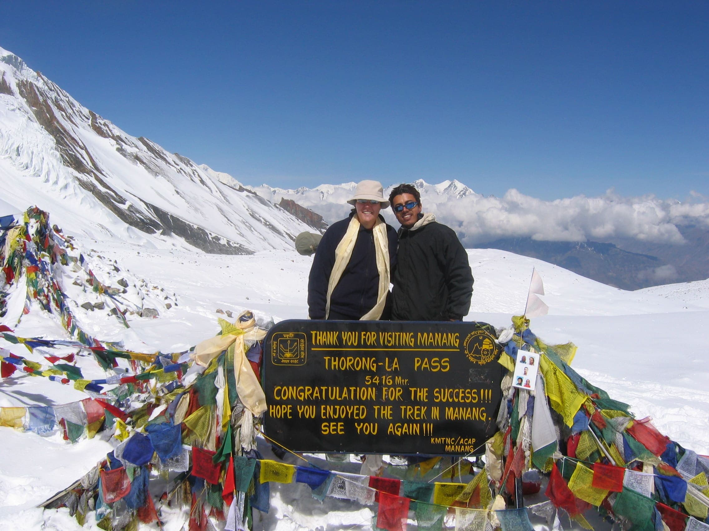
SAC T3 · YDS 2
Annapurna Circuit
Distance 334.1 km Reported · High point provisional (DEM sample) · T3 · OSM route · permit
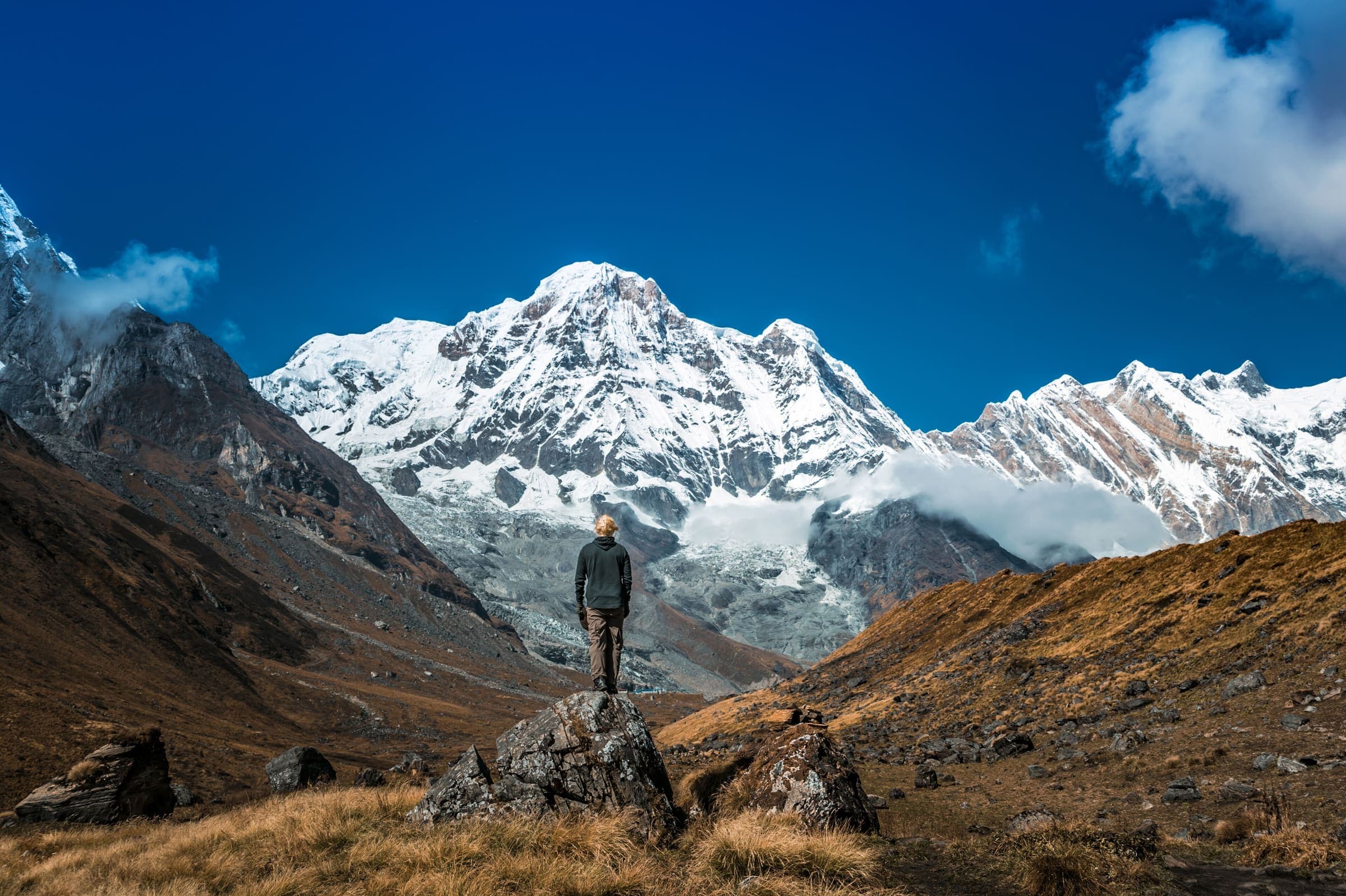
SAC T2 · YDS 1
Dudh Pokhari Lake
Distance 26.5 km Reported · High point provisional (DEM sample) · T2 · OSM route · permit
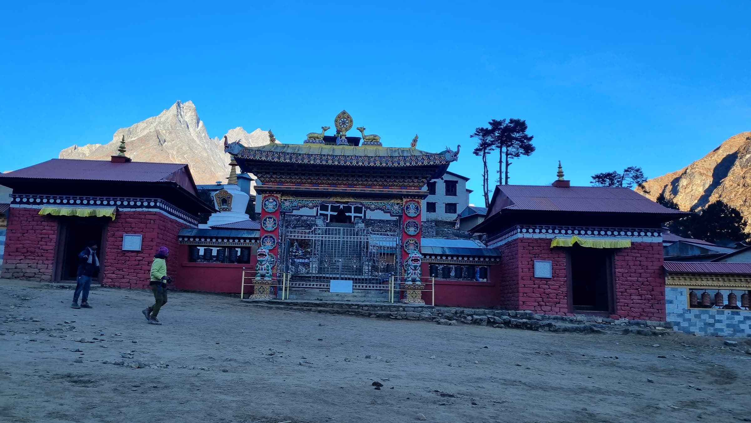
OSM sac_scale: hiking · SAC T2 · YDS 1
Everest Base Camp
Distance 53.72 km Reported · Ascent provisional (DEM sample) · High point provisional (DEM sample) · 12d · SAC T2 · permit
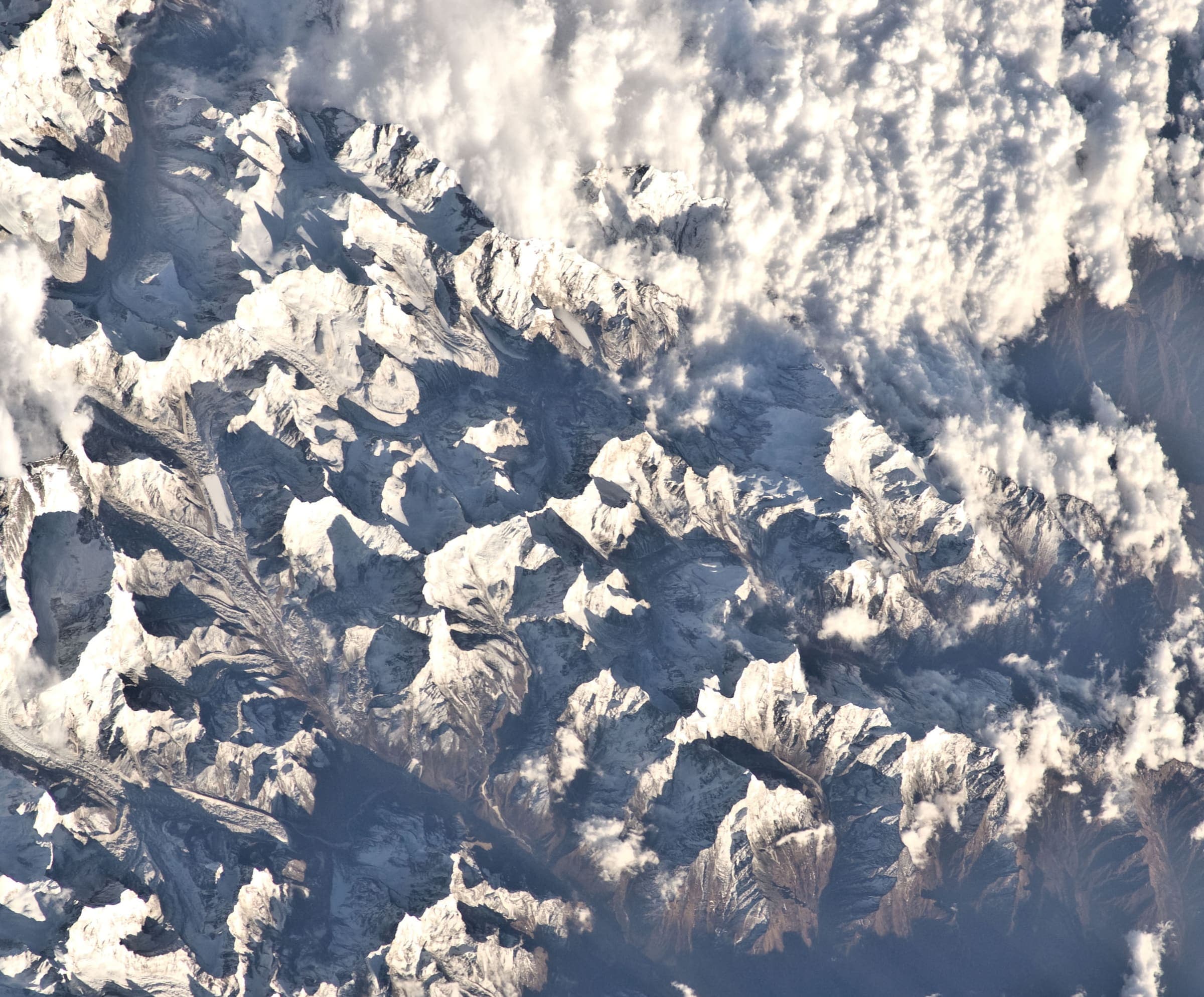
OSM sac_scale: hiking · SAC T2 · YDS 1
Everest Three Passes
Distance 99.22 km Reported · Ascent provisional (DEM sample) · High point provisional (DEM sample) · 18d · SAC T2 · permit
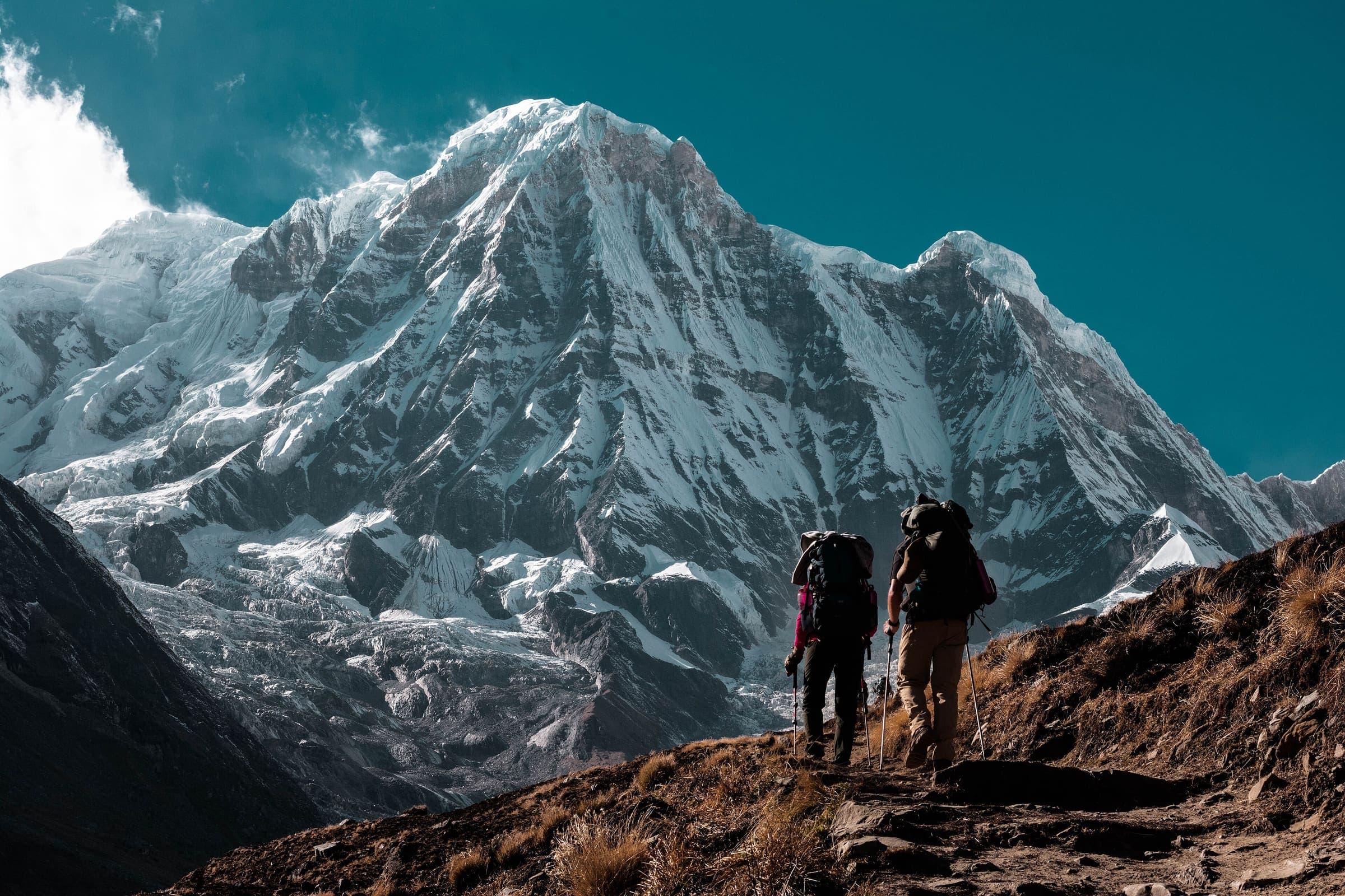
SAC T2 · YDS 1
Ice Lake Trek
Distance 5.1 km Reported · Ascent provisional (DEM sample) · High point provisional (DEM sample) · 1d · SAC T2 · permit
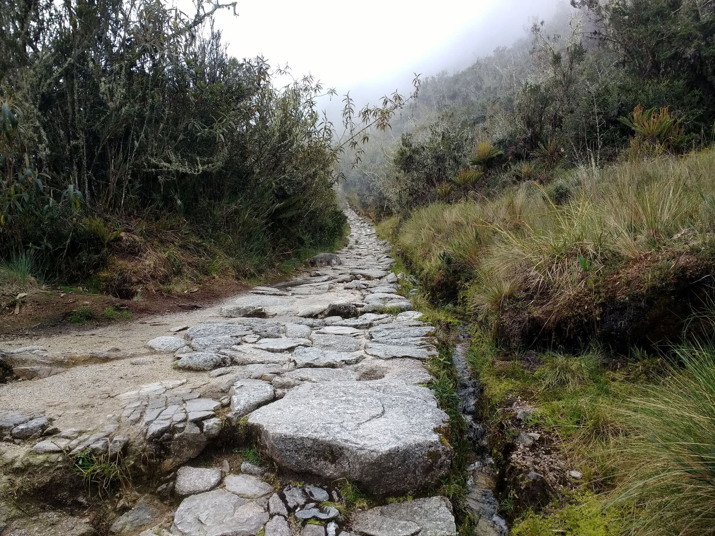
OSM sac_scale: demanding_mountain_hiking · SAC T3 (mapped — no official SAC grade) · YDS 2
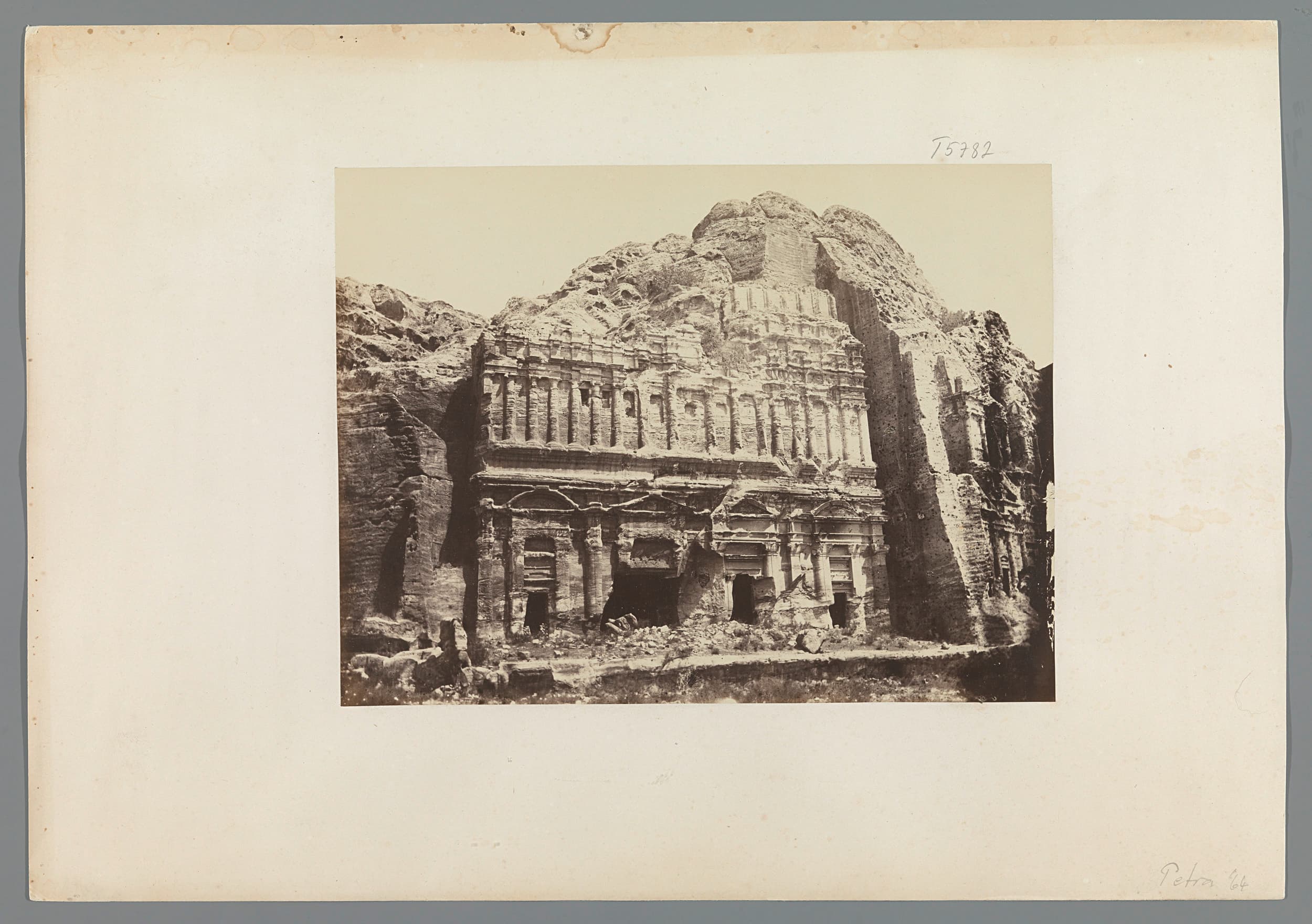
Inca Trail (Classic 4-day)
Distance 38.29 km Reported · Ascent provisional (DEM sample) · High point provisional (DEM sample) · 4d · SAC T3 · permit
SAC T2 · YDS 1
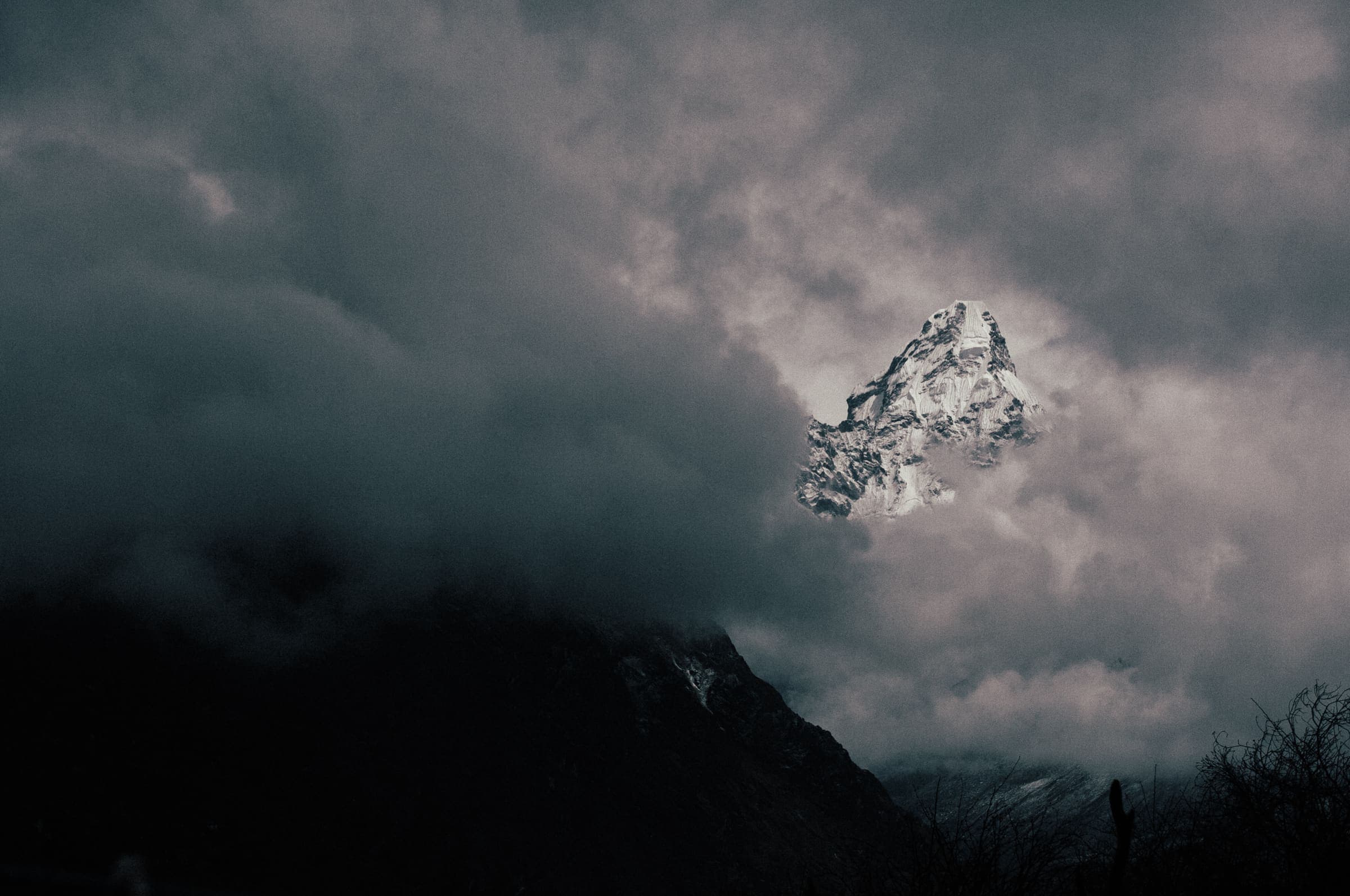
Jordan Trail
Distance 646.2 km Reported · High point provisional (DEM sample) · T2 · OSM route · permit
SAC T2 · YDS 1
Kapuche Glacier Lake
Distance 10.5 km Reported · Ascent provisional (DEM sample) · High point provisional (DEM sample) · T2 · OSM route · permit
DOC: Great Walk / Intermediate · SAC T2 (mapped — no official SAC grade) · YDS 1
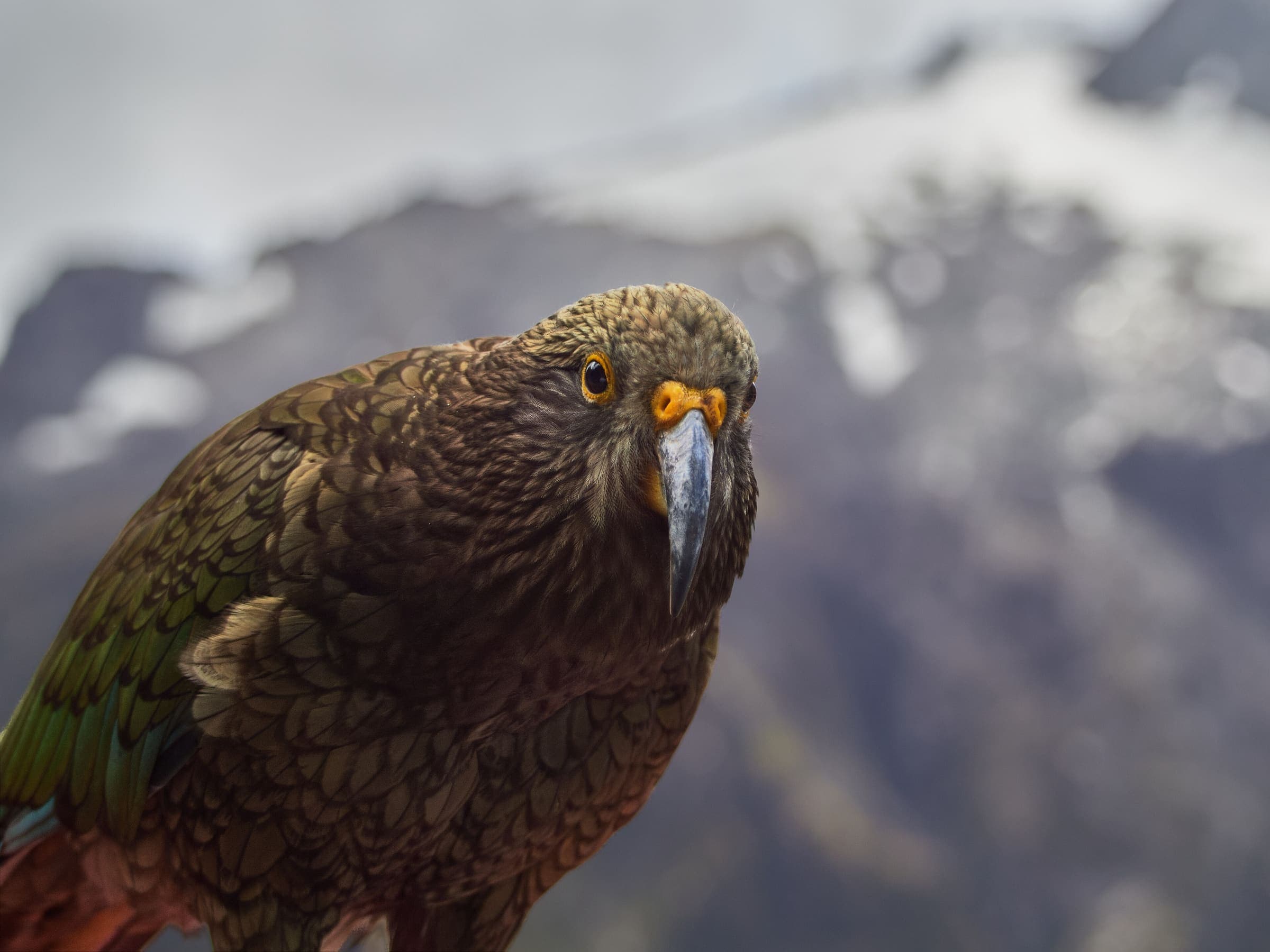
Kepler Track
Distance 61.6 km Reported · High point provisional (DEM sample) · 4d · SAC T2 · permit
OSM sac_scale: mountain_hiking · SAC T3 · YDS 2
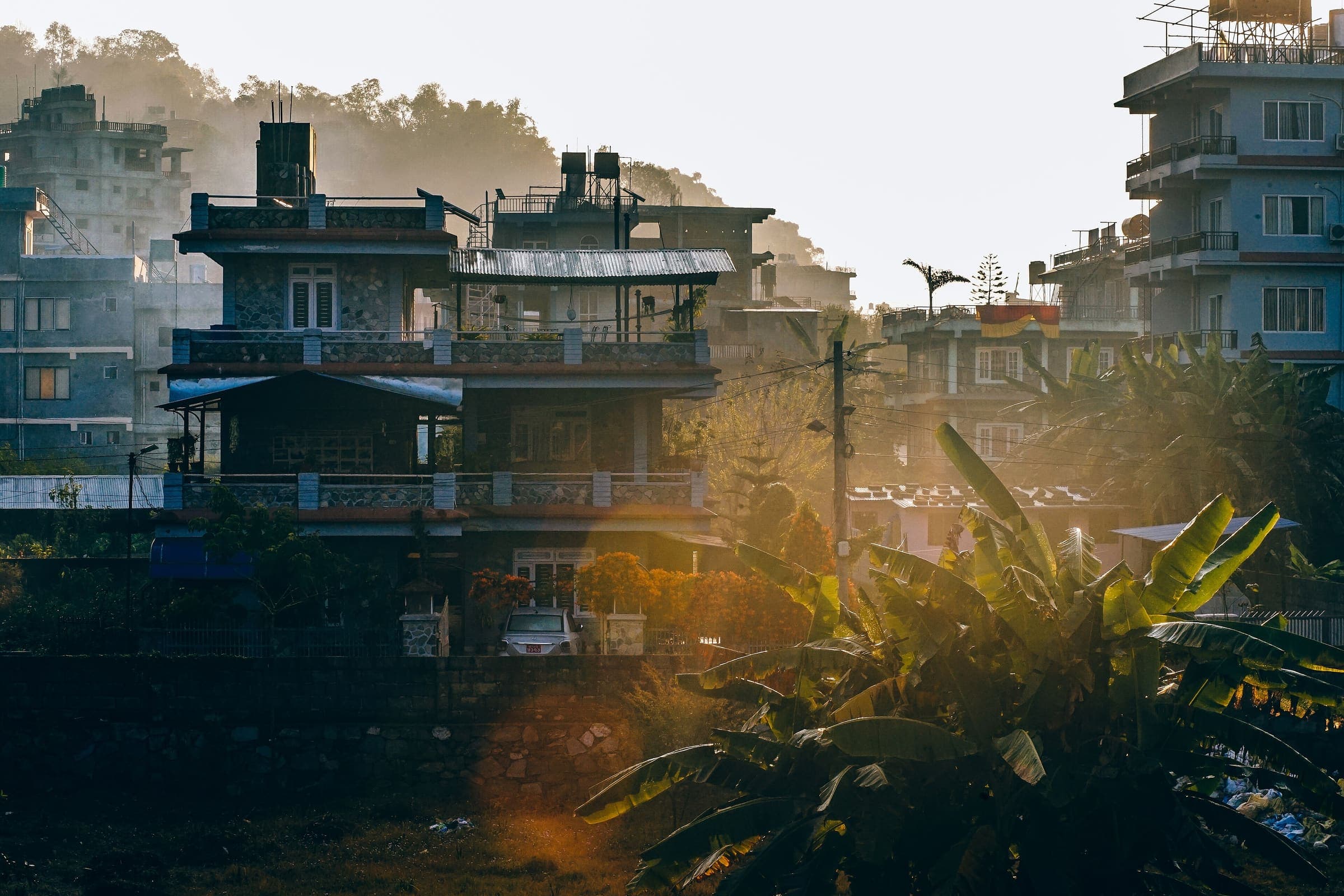
Manaslu Circuit
Distance 118.52 km Reported · Ascent provisional (DEM sample) · High point provisional (DEM sample) · 14d · SAC T3 · permit
SAC T2 · YDS 1
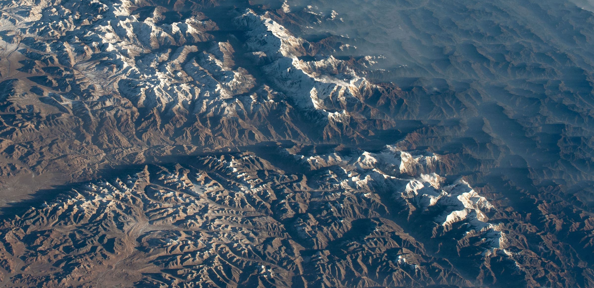
Mardi Himal trek
Distance 30.09 km Reported · High point provisional (DEM sample) · T2 · OSM route · permit
SAC T2 · YDS 1
Miristi Khola
Distance 25.9 km Reported · High point provisional (DEM sample) · T2 · OSM route · permit
SAC T3 (mapped — no official SAC grade) · YDS 2
Mount Rinjani (Sembalun)
Distance 31.1 km Reported · Ascent provisional (DEM sample) · High point provisional (DEM sample) · 3d · SAC T3 · permit
SAC T2 · YDS 1
Naar to Tange
Distance 52 km Reported · High point provisional (DEM sample) · T2 · OSM route · permit
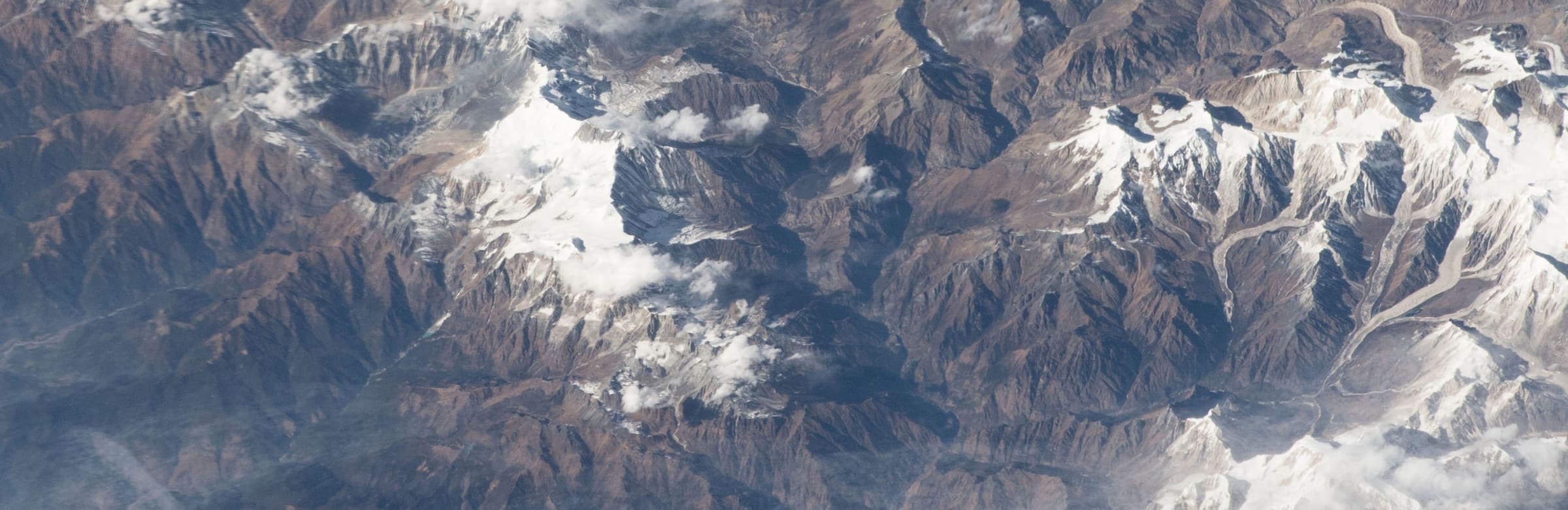
SAC T2 · YDS 1
Naar-Phu trek
Distance 64.26 km Reported · High point provisional (DEM sample) · 6d · SAC T2 · permit
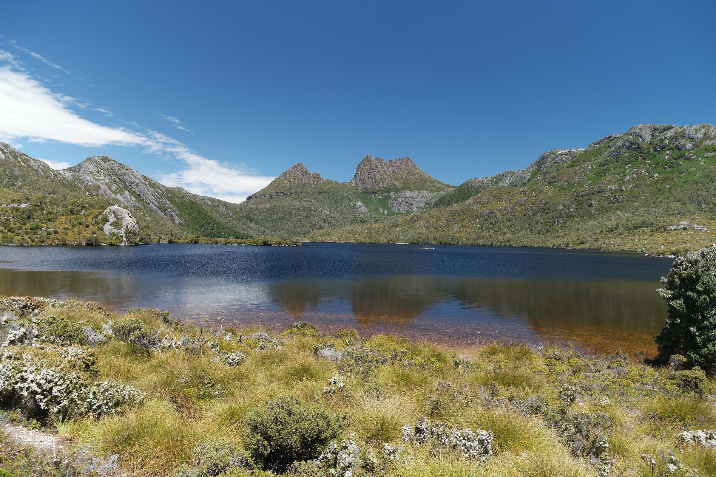
Parks Tasmania: Grade 4 · SAC T2–T3 (mapped — no official SAC grade) · YDS 1
Overland Track
Distance 65 km Verified read 2026-08-24 · Mapped line 77.6 km (includes the Lake St Clair continuation), Reported · High point provisional (DEM sample) · 6d · SAC T2 · permit
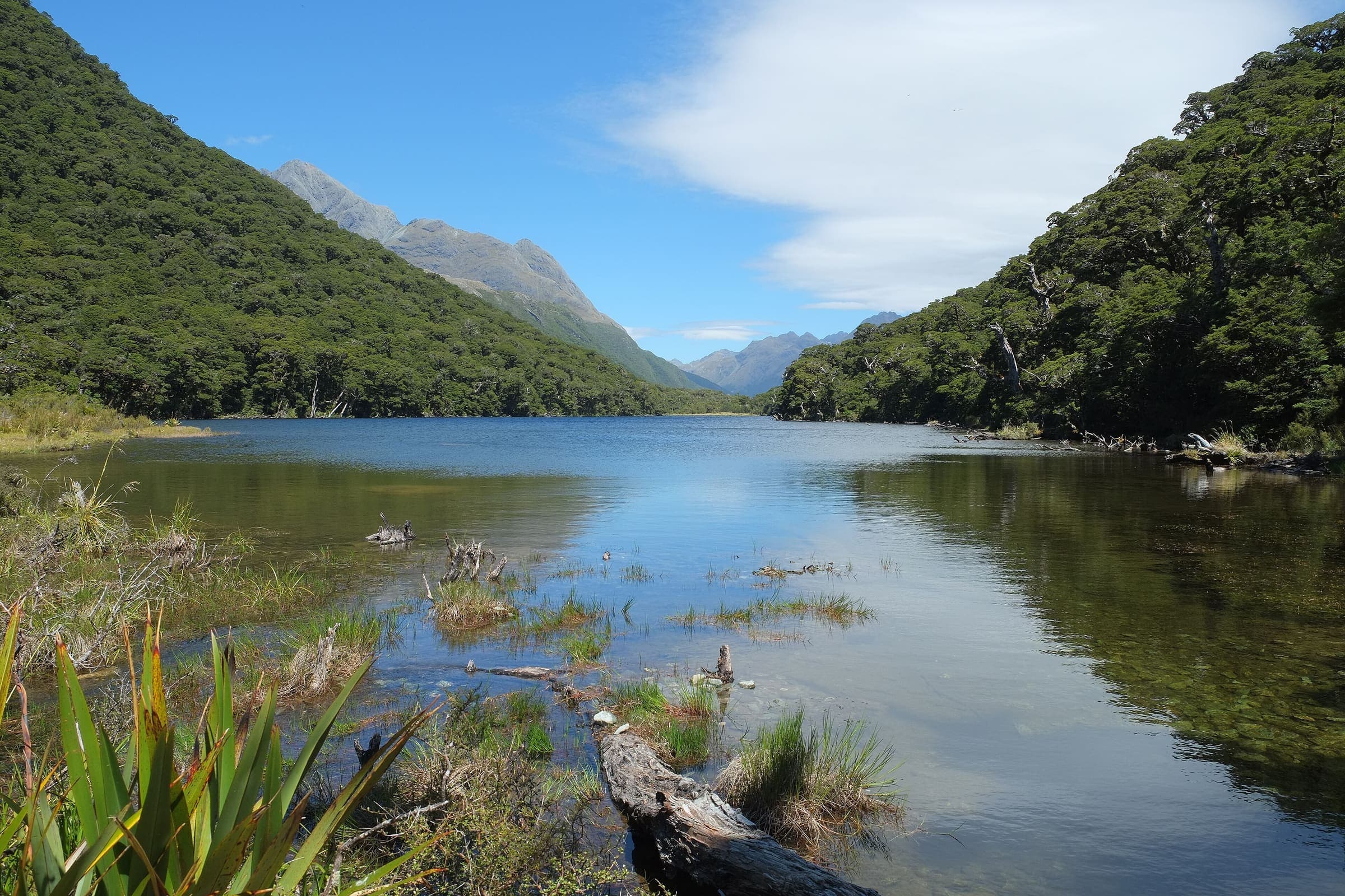
DOC: Great Walk / Easier tramping track (in season) · SAC T2 (mapped — no official SAC grade) · YDS 1
Routeburn Track
Distance 31.5 km Reported · Ascent provisional (DEM sample) · High point provisional (DEM sample) · 3d · SAC T2 · permit
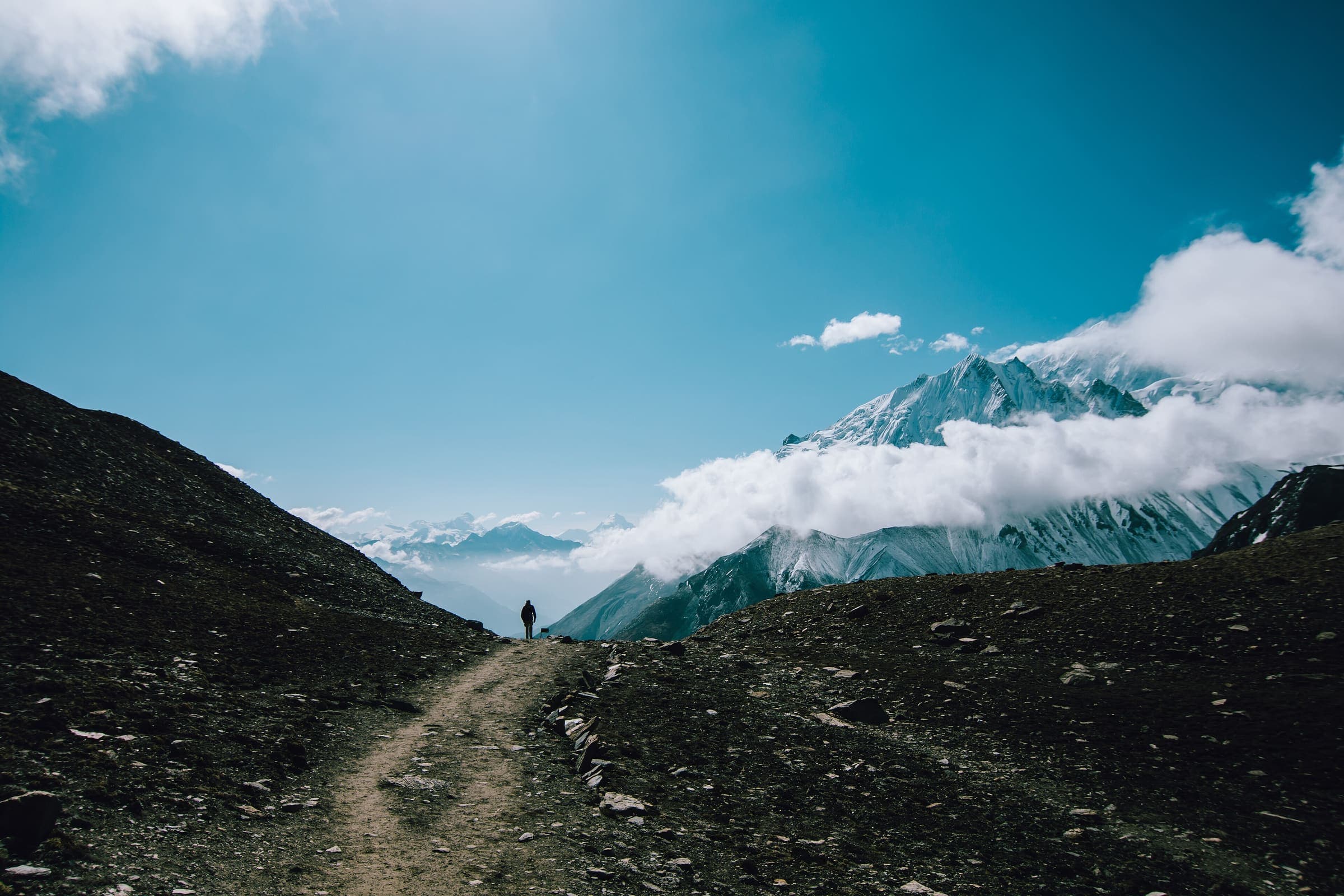
SAC T2 · YDS 1
Tilicho Trek
Distance 64.5 km Reported · High point provisional (DEM sample) · T2 · OSM route · permit
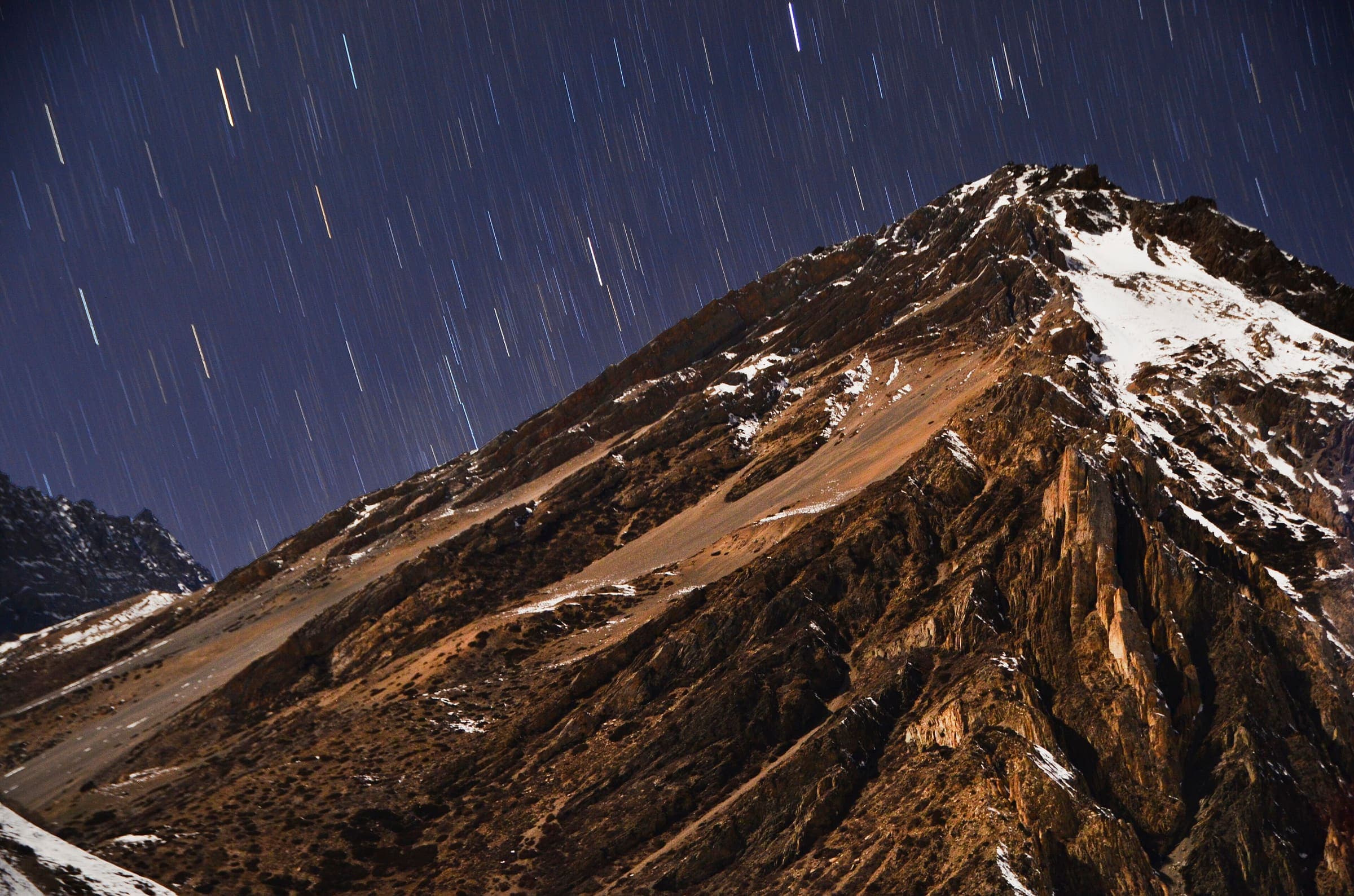
SAC T2 · YDS 1
Tiuche Lake
Distance 30.6 km Reported · High point provisional (DEM sample) · T2 · OSM route · permit
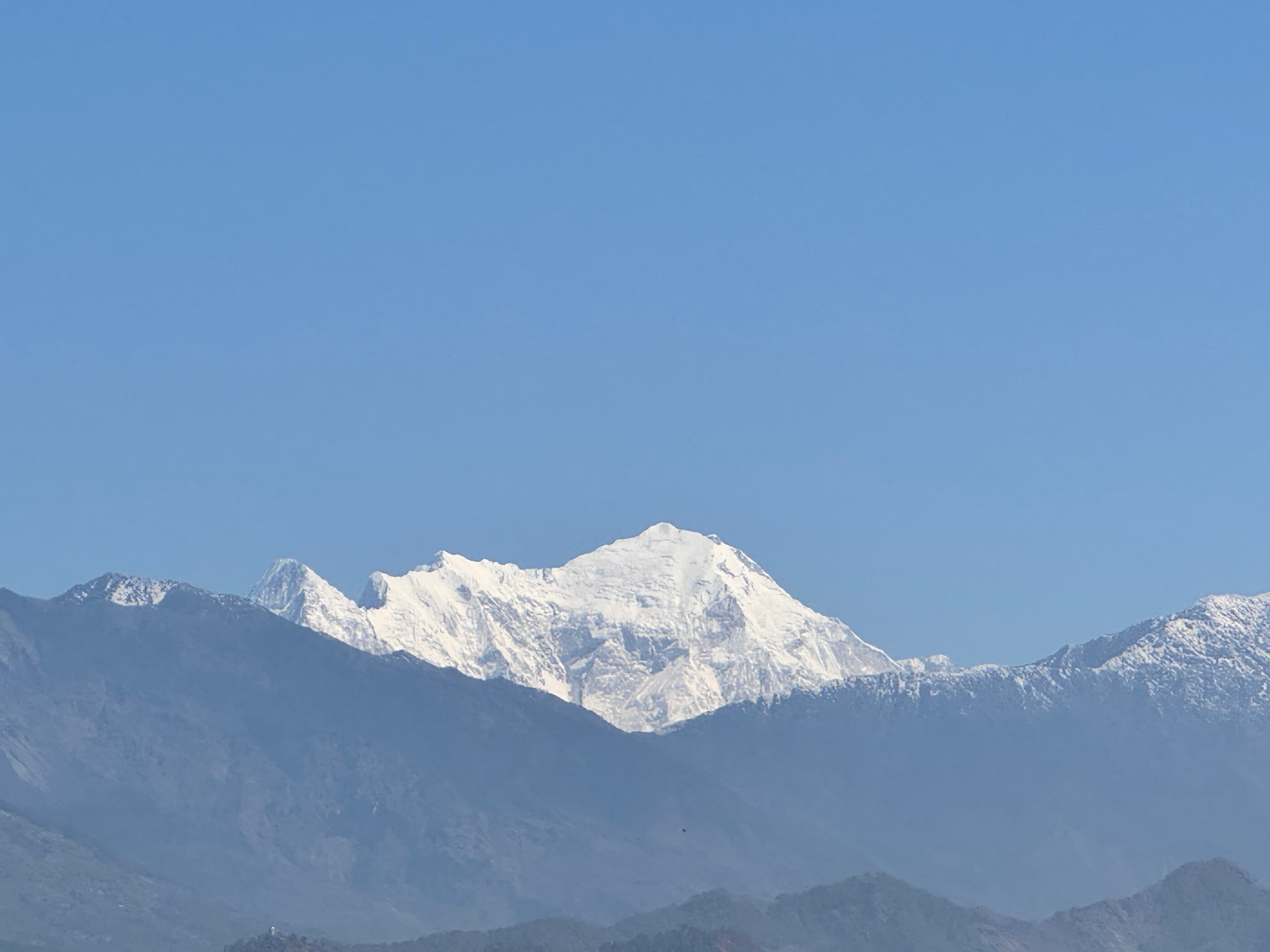
OSM sac_scale: hiking · SAC T2 · YDS 1
Langtang Valley
Distance 30.97 km Reported · Ascent provisional (DEM sample) · High point provisional (DEM sample) · 8d · SAC T2 · permit
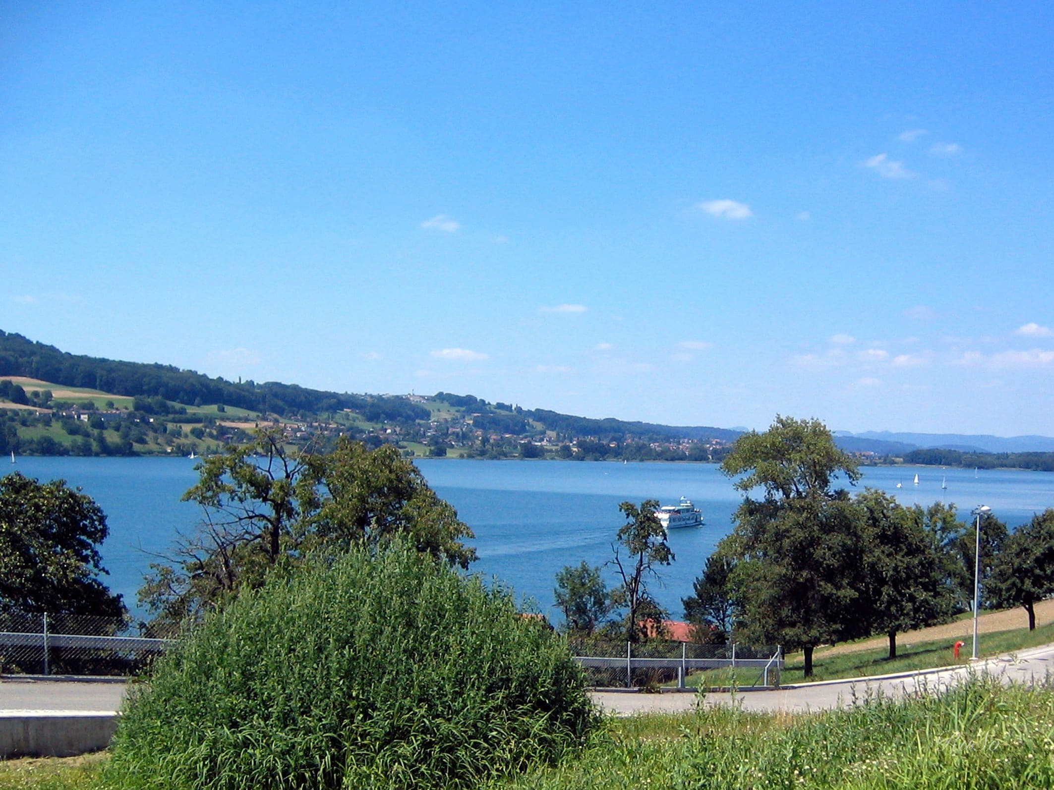
Wanderland: technical leicht, physical schwer · SAC T2 (mapped — no official SAC grade) · YDS 1
Aargauer Weg
Distance 102.8 km Reported · High point provisional (DEM sample) · T2 · OSM route · permit-free on this record
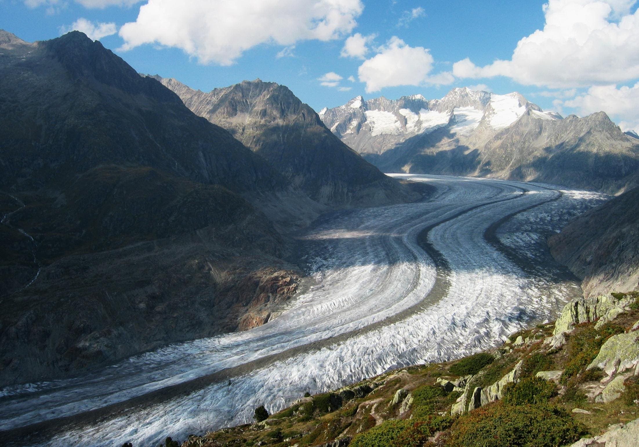
Wanderland: technical mittel, physical mittel · SAC T2–T3 (mapped — no official SAC grade) · YDS 1
Aletsch Panoramaweg
Distance 30.2 km Reported · Ascent provisional (DEM sample) · High point provisional (DEM sample) · T2 · OSM route · permit-free on this record
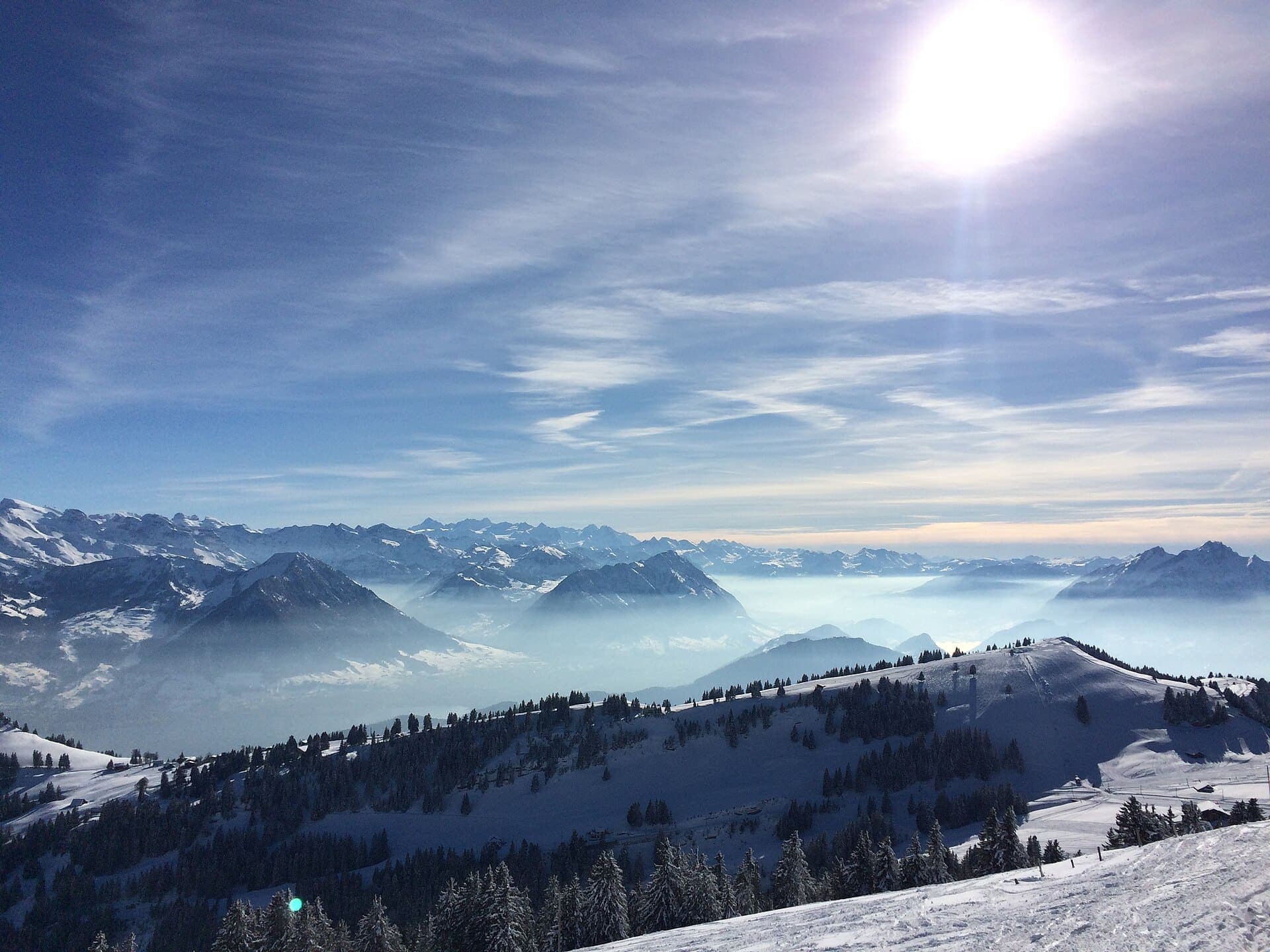
MySwitzerland: technical Easy, physical Medium · SAC T2 (mapped — no official SAC grade) · YDS 1
Alpine Panorama Trail
Distance 505.7 km Reported · High point provisional (DEM sample) · T2 · OSM route · permit-free on this record
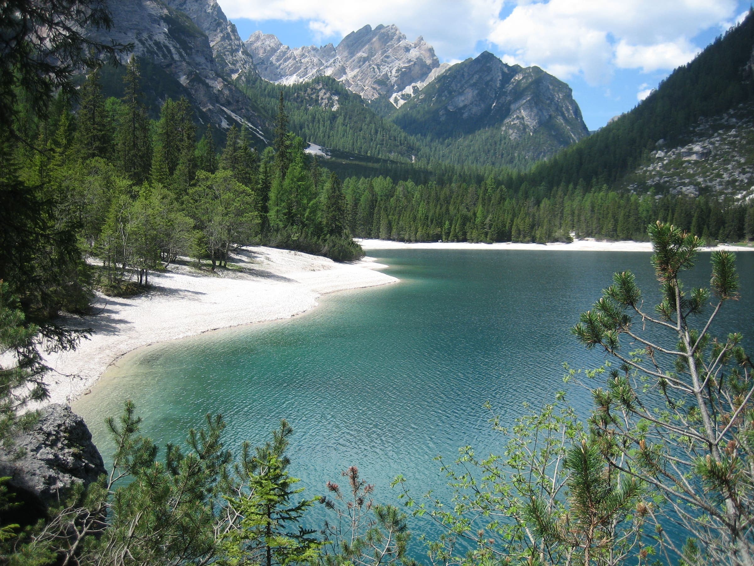
Cicerone/CAI: Grade 2 / E (optional Marmol VF = EEA) · SAC T2–T3 (mapped — no official SAC grade) · YDS 1
Alta Via 1
Distance 118 km Reported · High point provisional (DEM sample) · 12d · SAC T2 · permit-free on this record
Wanderland: technical and physical grades on the route page · SAC T2 (mapped — no official SAC grade) · YDS 1
Au fil du Doubs
Distance 67.9 km Reported · High point provisional (DEM sample) · T2 · OSM route · permit-free on this record
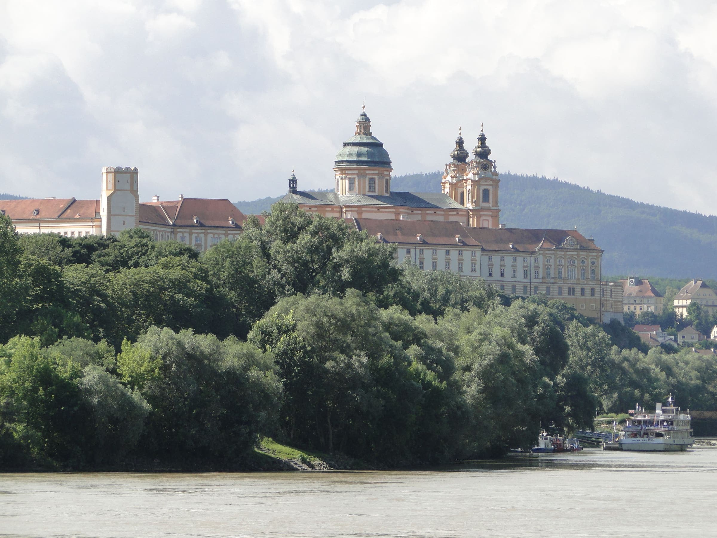
oberoesterreich.at: schwer · SAC T2 · YDS 1
Benedikt-Pilgerrundweg Kremstal
Distance 45.7 km Reported · Ascent provisional (DEM sample) · High point provisional (DEM sample) · T2 · OSM route · permit-free on this record
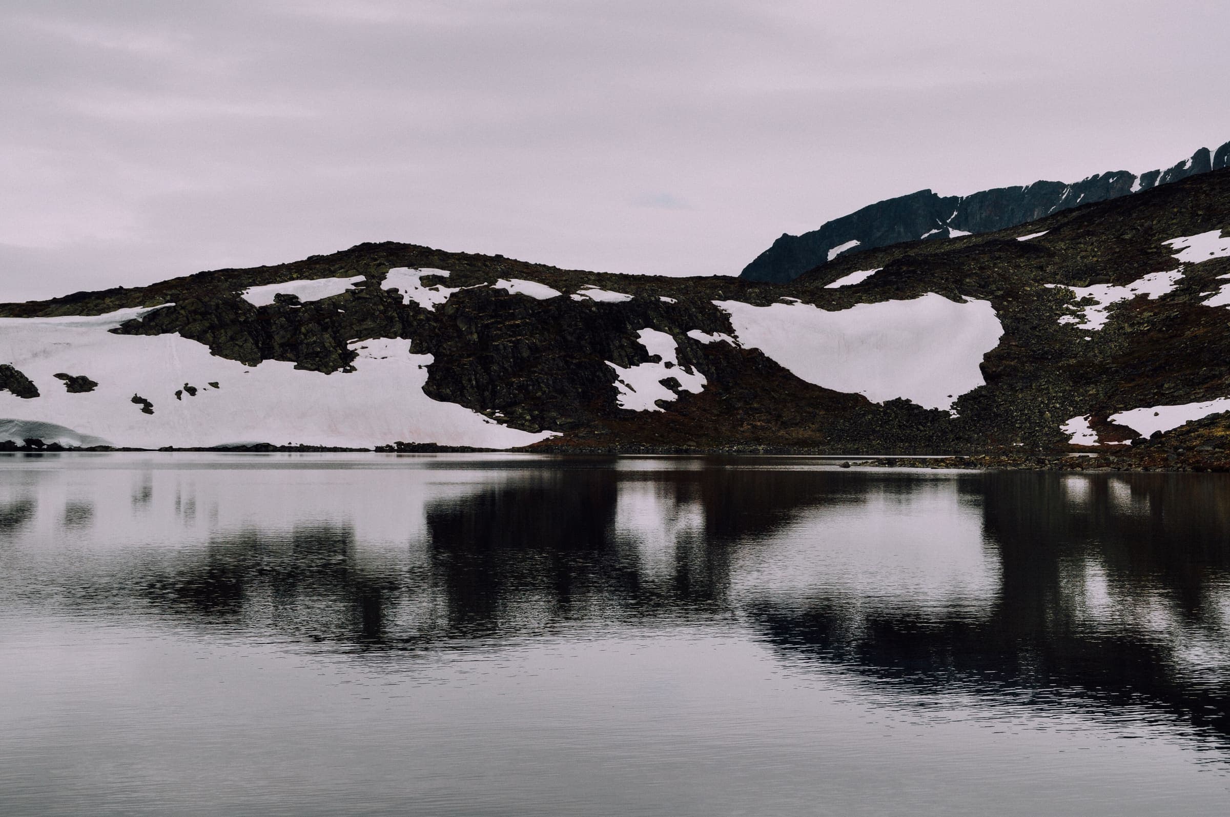
DNT: krevende (red / demanding) · SAC T3 (mapped — no official SAC grade) · YDS 2
Besseggen
Distance 14.5 km Reported · Ascent provisional (DEM sample) · High point provisional (DEM sample) · 1d · SAC T3 · permit-free on this record
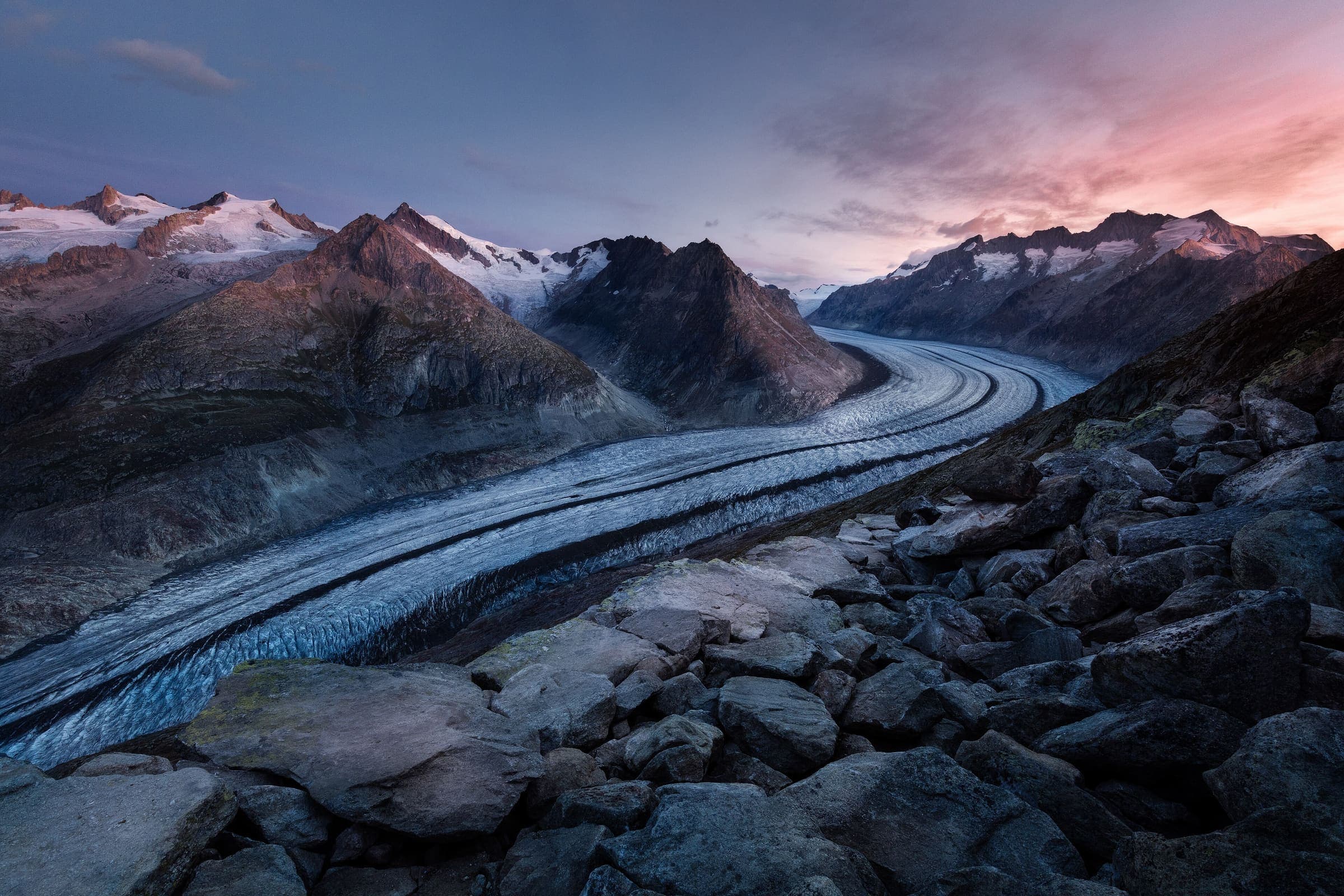
Wanderland: technical and physical grades on the route page · SAC T2 (mapped — no official SAC grade) · YDS 1
Chemin des Bisses
Distance 105 km Reported · High point provisional (DEM sample) · T2 · OSM route · permit-free on this record
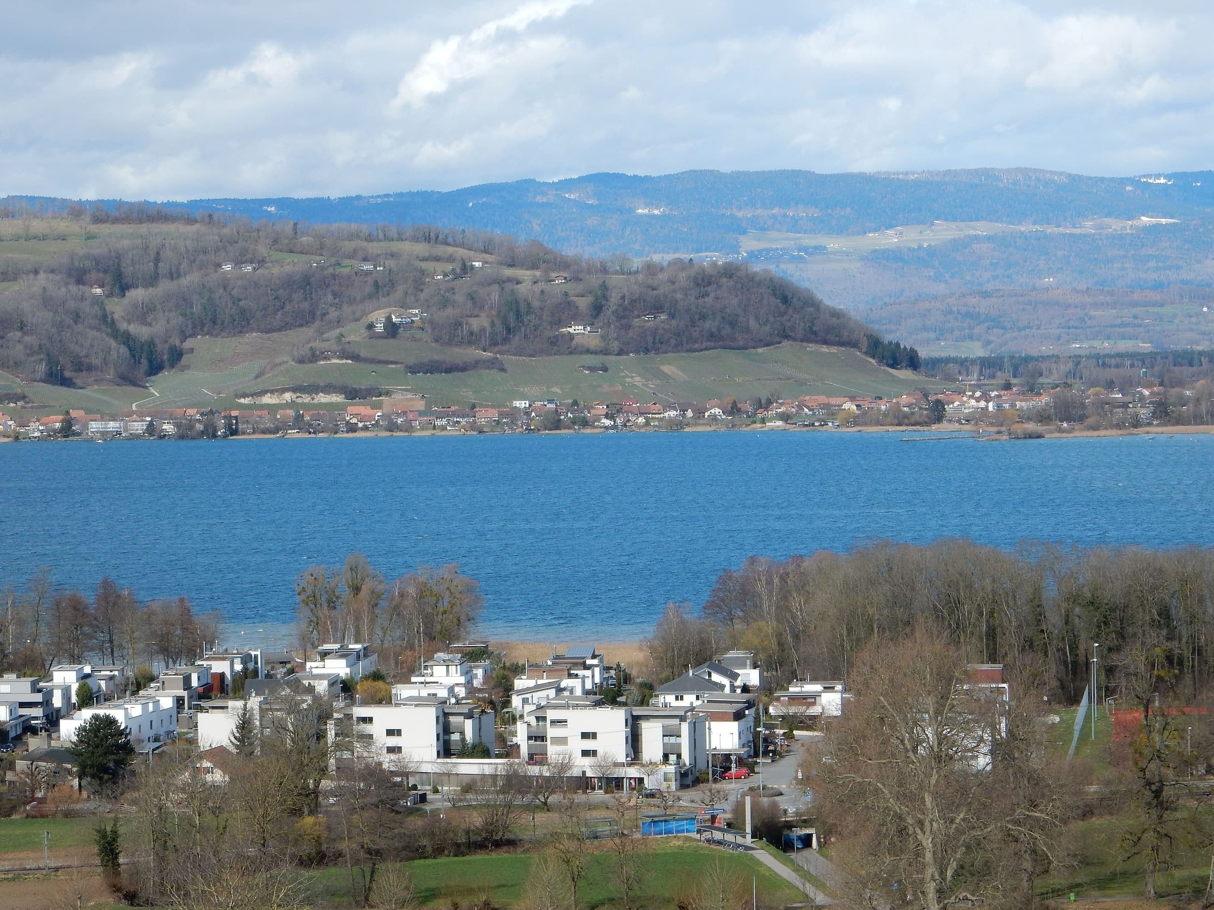
Wanderland: technical and physical grades on the route page · SAC T2 (mapped — no official SAC grade) · YDS 1
Chemin des Trois-Lacs
Distance 62.4 km Reported · High point provisional (DEM sample) · T2 · OSM route · permit-free on this record
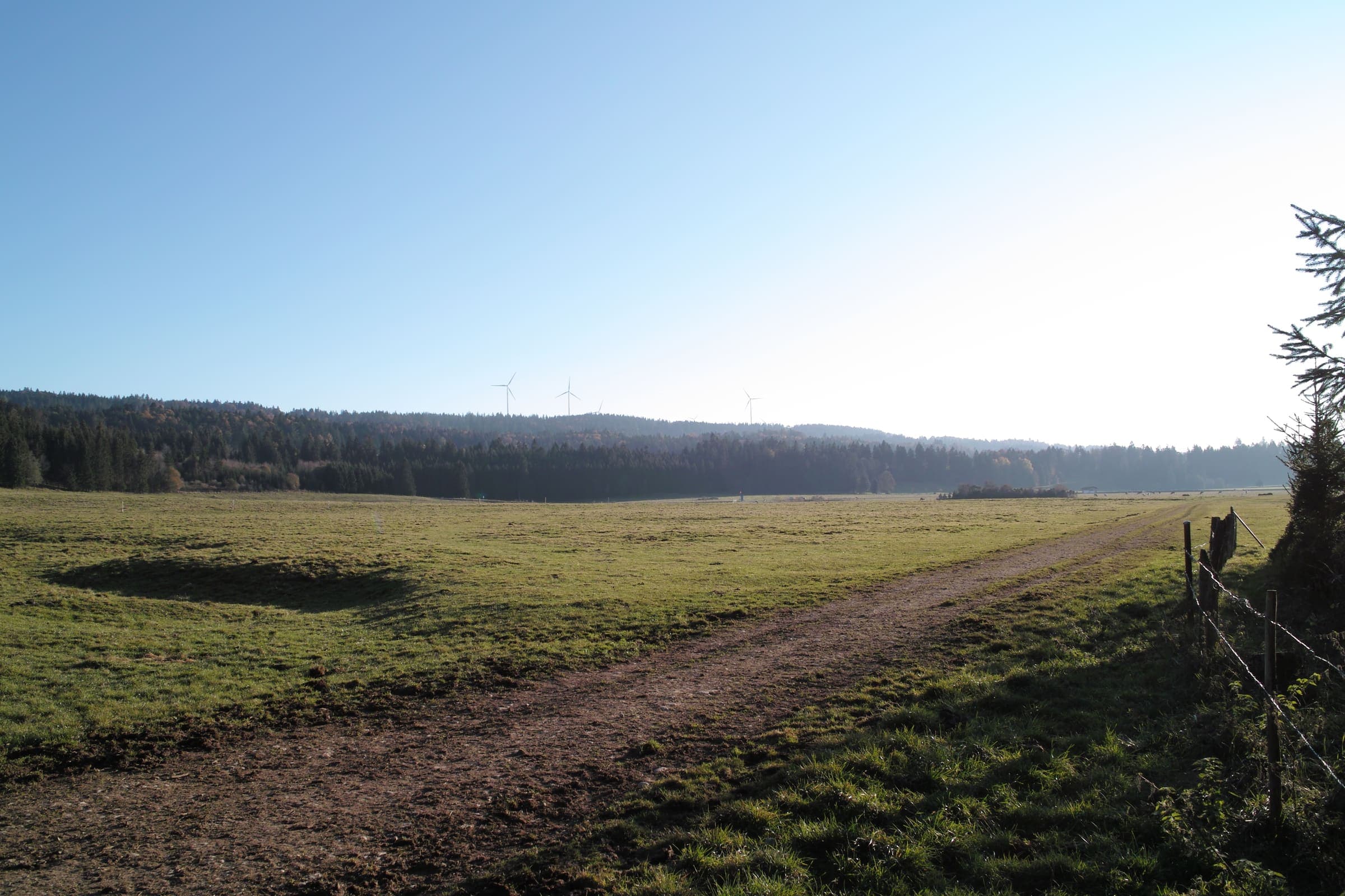
Wanderland: technical leicht, physical schwer · SAC T2 (mapped — no official SAC grade) · YDS 1
Chemin du Jura
Distance 93.2 km Reported · High point provisional (DEM sample) · T2 · OSM route · permit-free on this record
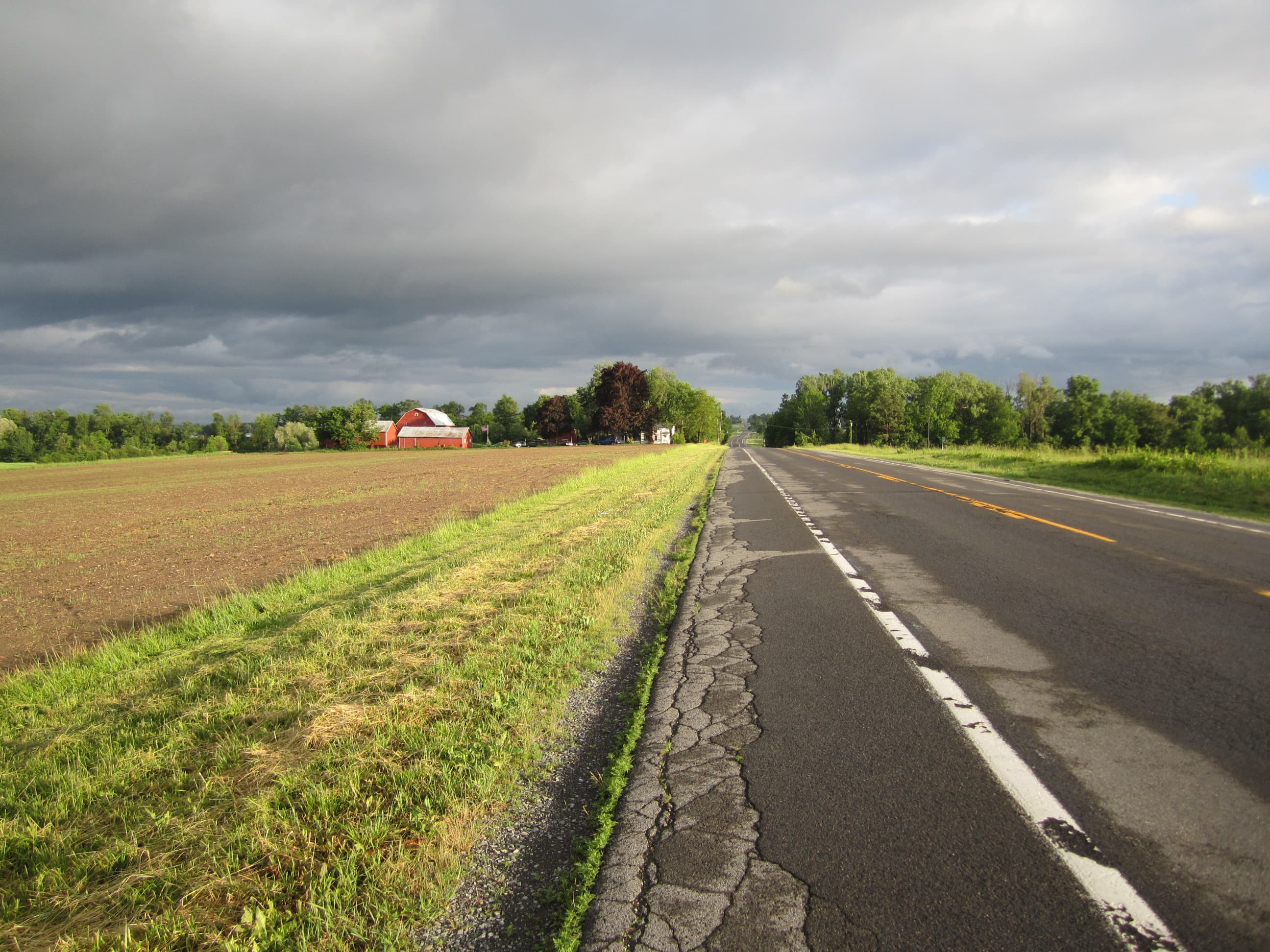
Wanderland: technical and physical grades on the route page · SAC T2 (mapped — no official SAC grade) · YDS 1
Chemin du Jura bernois
Distance 64.3 km Reported · High point provisional (DEM sample) · T2 · OSM route · permit-free on this record
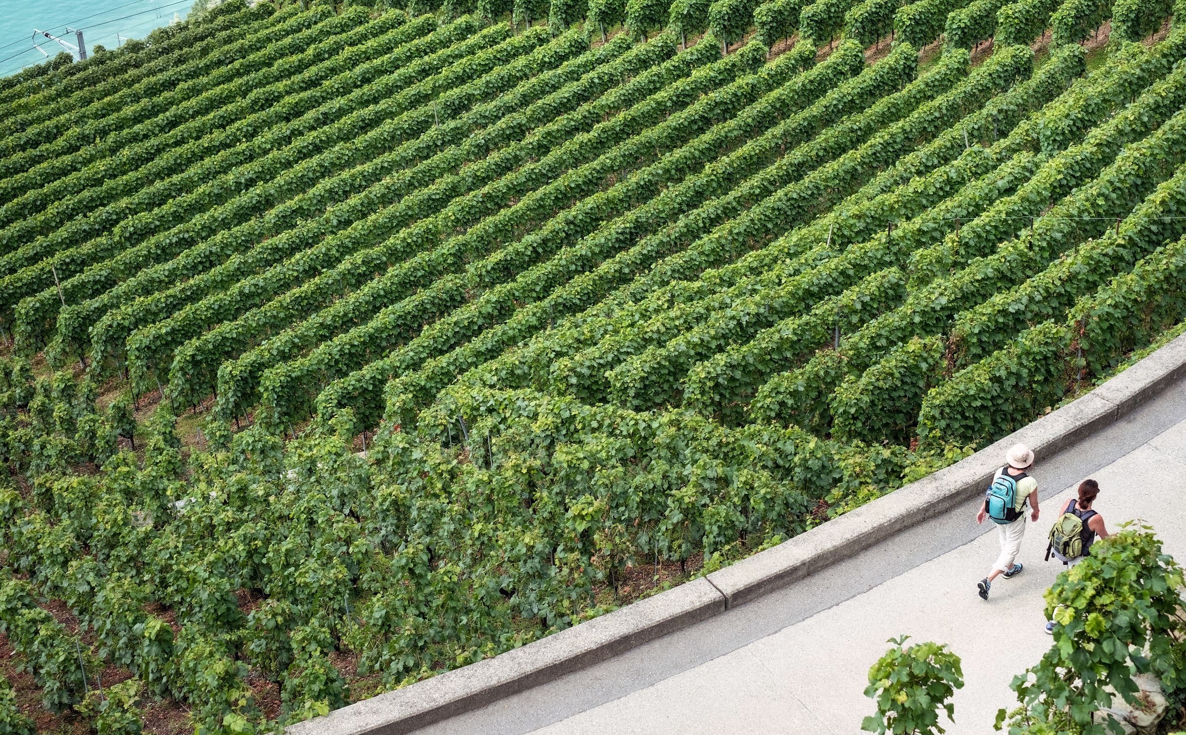
Wanderland: technical leicht, physical schwer · SAC T2 (mapped — no official SAC grade) · YDS 1
Chemin du vignoble
Distance 65.9 km Reported · High point provisional (DEM sample) · T2 · OSM route · permit-free on this record
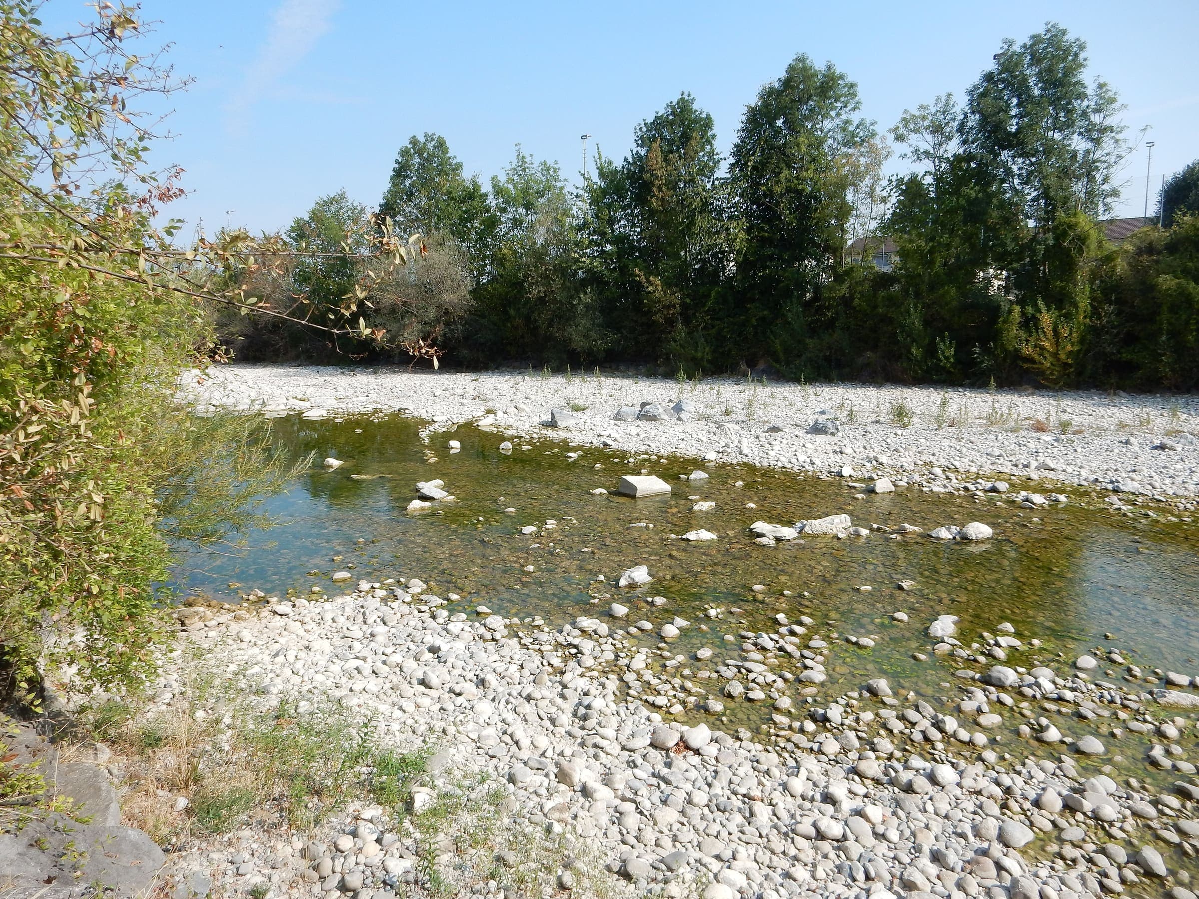
Wanderland: technical and physical grades on the route page · SAC T2 (mapped — no official SAC grade) · YDS 1
Emmenuferweg
Distance 63.6 km Reported · High point provisional (DEM sample) · T2 · OSM route · permit-free on this record
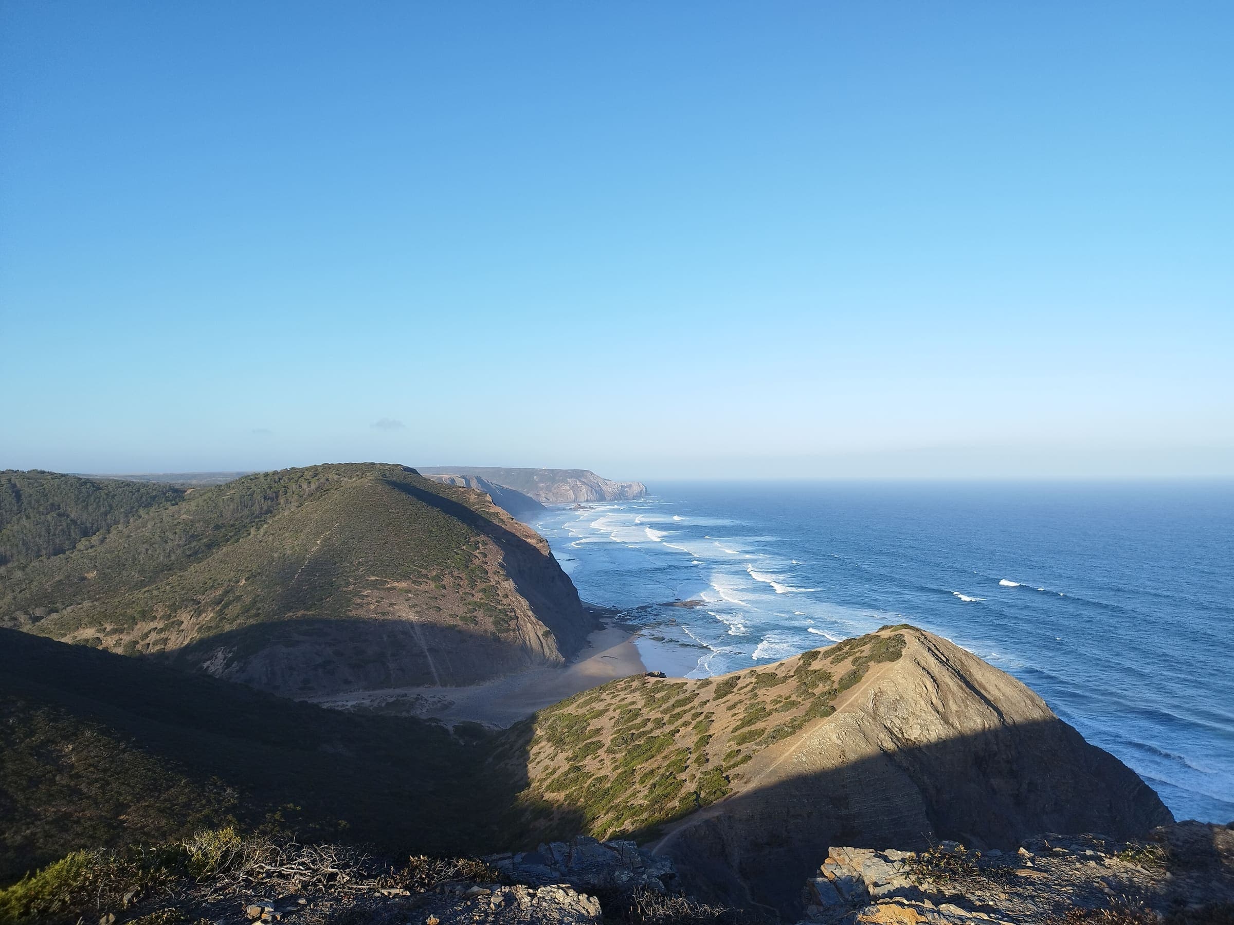
Rota Vicentina: medium / somewhat difficult · SAC T1–T2 (mapped — no official SAC grade) · YDS 1
Fishermen's Trail
Distance 222.1 km Reported · High point provisional (DEM sample) · 13d · SAC T1 · permit-free on this record
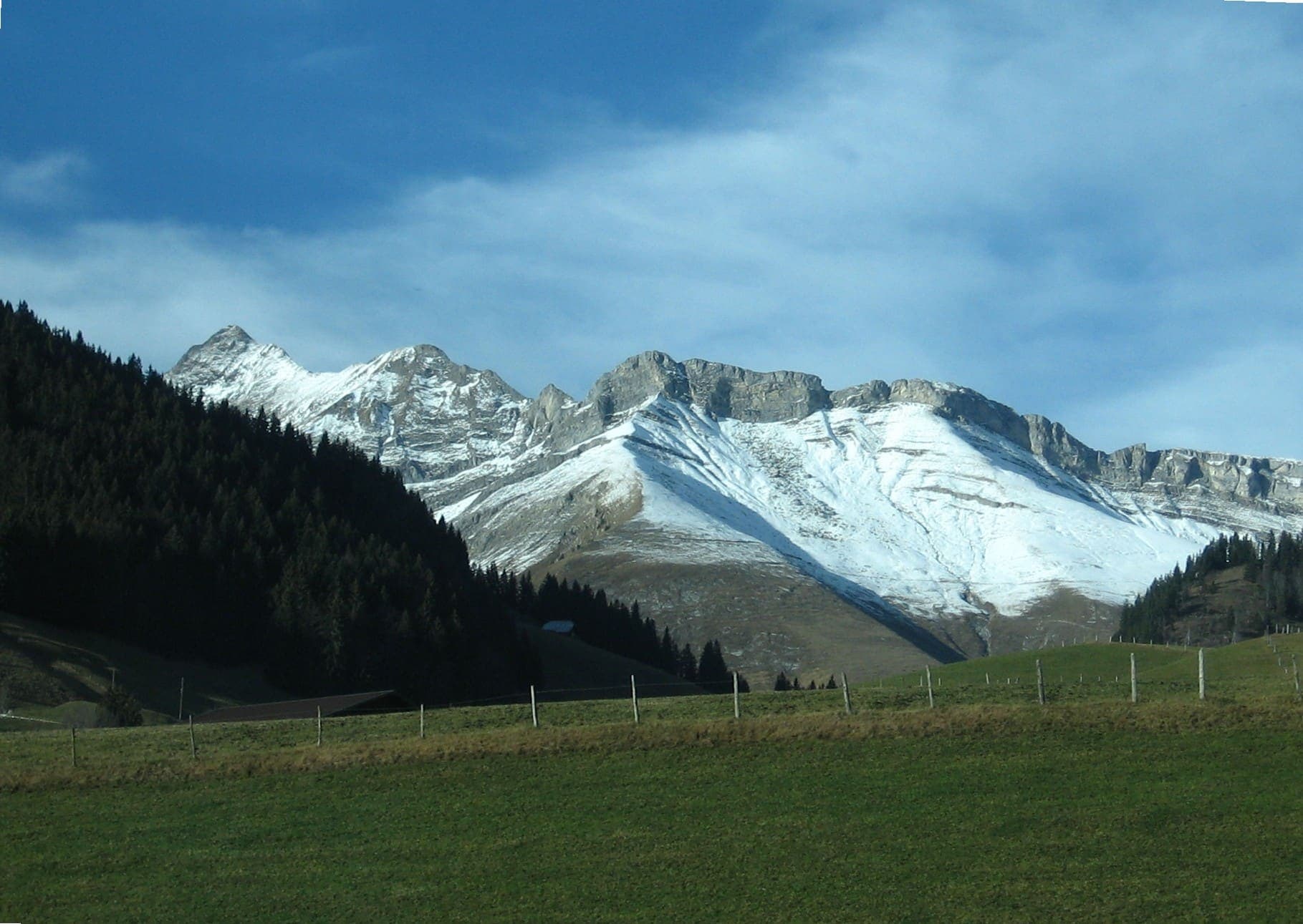
Wanderland: technical and physical grades on the route page · SAC T2 (mapped — no official SAC grade) · YDS 1
Freiburger Voralpenweg
Distance 71.9 km Reported · High point provisional (DEM sample) · T2 · OSM route · permit-free on this record
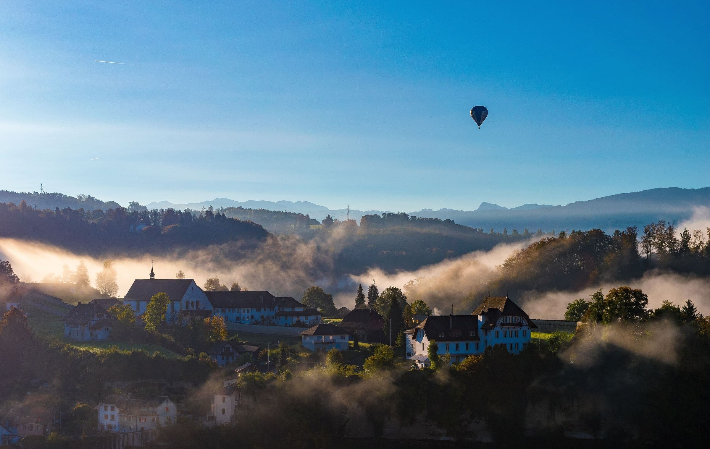
Wanderland: technical and physical grades on the route page · SAC T2 (mapped — no official SAC grade) · YDS 1
Fribourg en diagonale
Distance 68.1 km Reported · High point provisional (DEM sample) · T2 · OSM route · permit-free on this record
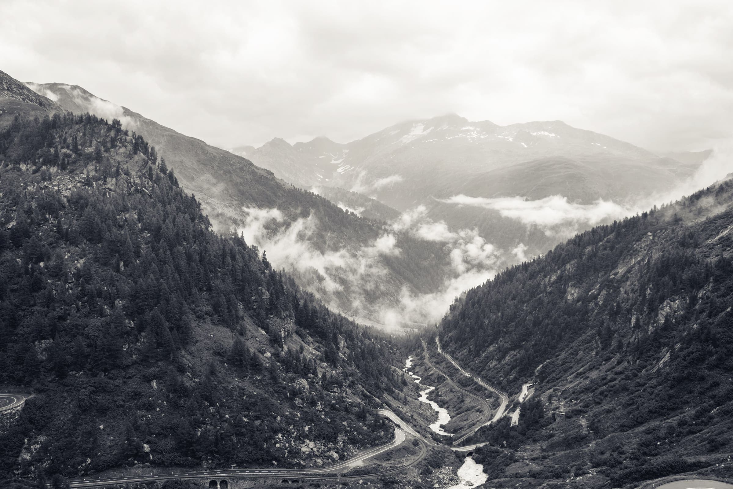
Wanderland: technical and physical grades on the route page · SAC T2 (mapped — no official SAC grade) · YDS 1
Furka-Höhenweg
Distance 34.2 km Reported · Ascent provisional (DEM sample) · High point provisional (DEM sample) · T2 · OSM route · permit-free on this record

PNRC: one of Europe's most difficult; N très technique · SAC T2–T4 (mapped — no official SAC grade) · YDS 1
GR20
Distance 183.6 km Reported · High point provisional (DEM sample) · 16d · SAC T2 · permit-free on this record
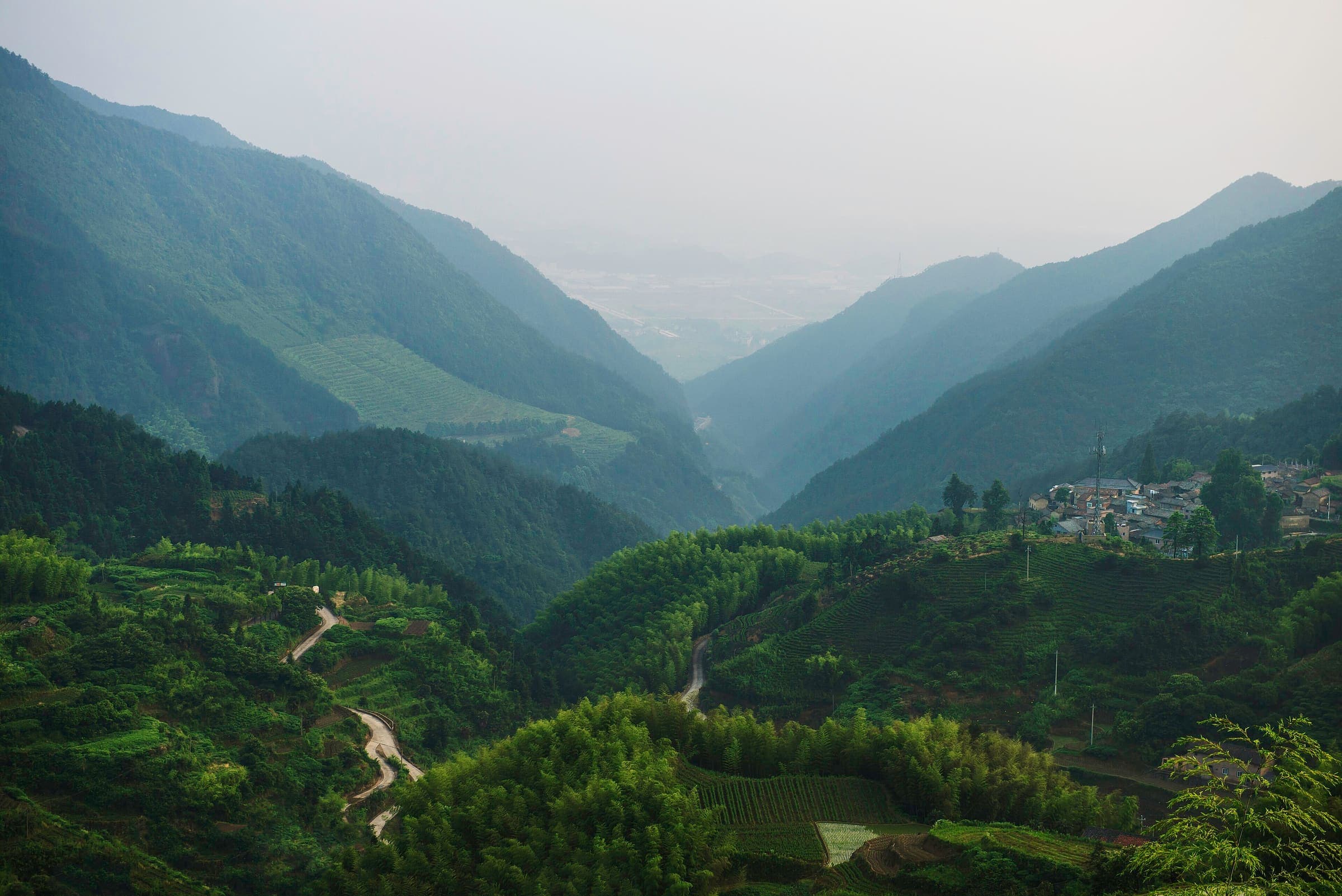
SAC T2 · YDS 1
Grabenlandtrail
Distance 129.2 km Reported · High point provisional (DEM sample) · T2 · OSM route · permit-free on this record
Wanderland: technical and physical grades on the route page · SAC T2 (mapped — no official SAC grade) · YDS 1
Grenzpfad Napfbergland
Distance 115.1 km Reported · High point provisional (DEM sample) · T2 · OSM route · permit-free on this record
Wanderland: technical mittel, physical mittel · SAC T2–T3 (mapped — no official SAC grade) · YDS 1
Jakobsweg Graubünden
Distance 261.1 km Reported · High point provisional (DEM sample) · T2 · OSM route · permit-free on this record
SAC T2 · YDS 1
Kamptalseenweg 620
Distance 98.6 km Reported · High point provisional (DEM sample) · T2 · OSM route · permit-free on this record
Wanderland: technical leicht, physical schwer · SAC T2 (mapped — no official SAC grade) · YDS 1
Klettgau-Rhein-Weg
Distance 45.4 km Reported · Ascent provisional (DEM sample) · High point provisional (DEM sample) · T2 · OSM route · permit-free on this record
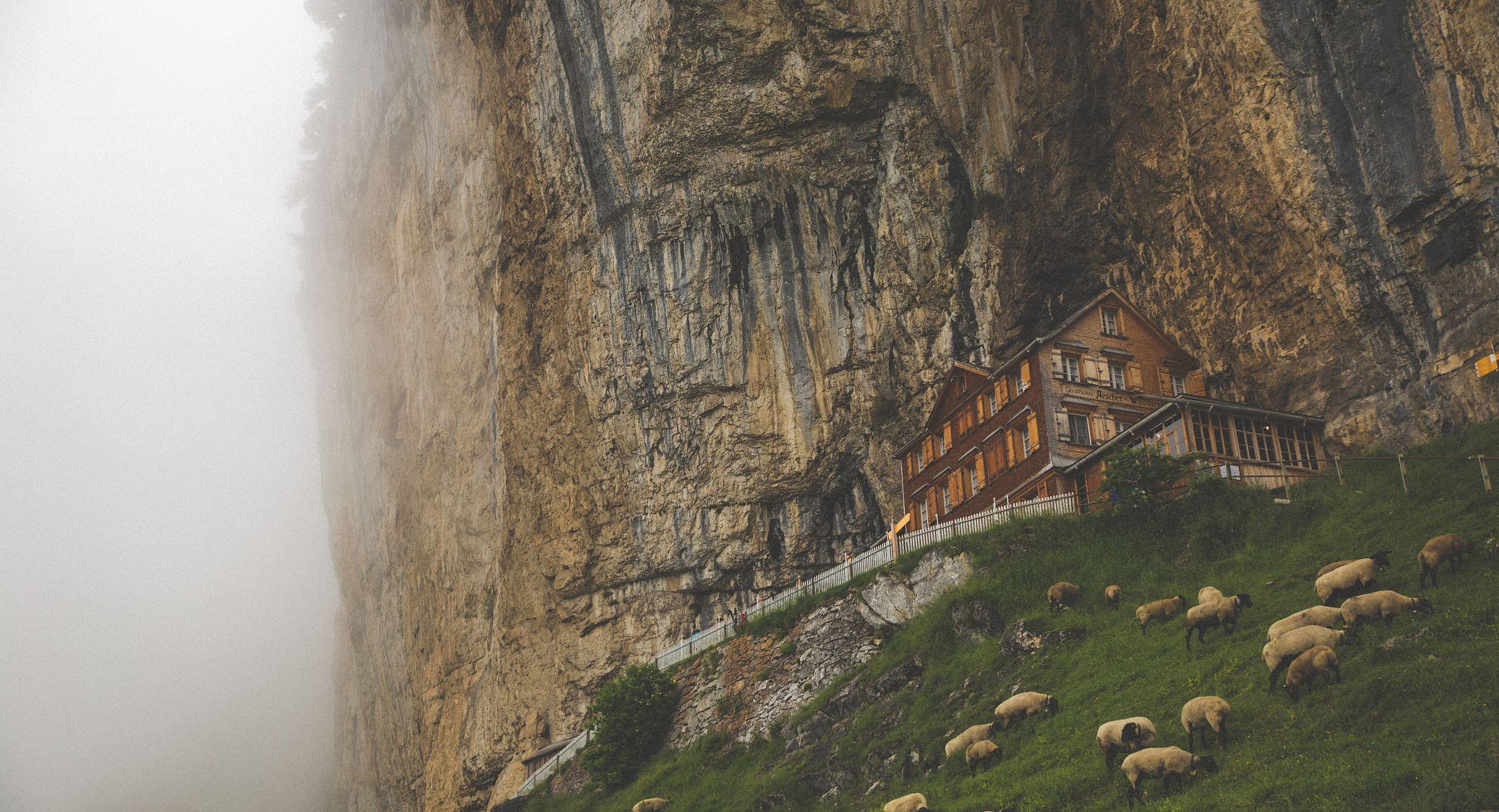
Wanderland: technical leicht, physical mittel · SAC T2 (mapped — no official SAC grade) · YDS 1
Kulturspur Appenzellerland
Distance 70.4 km Reported · High point provisional (DEM sample) · T2 · OSM route · permit-free on this record
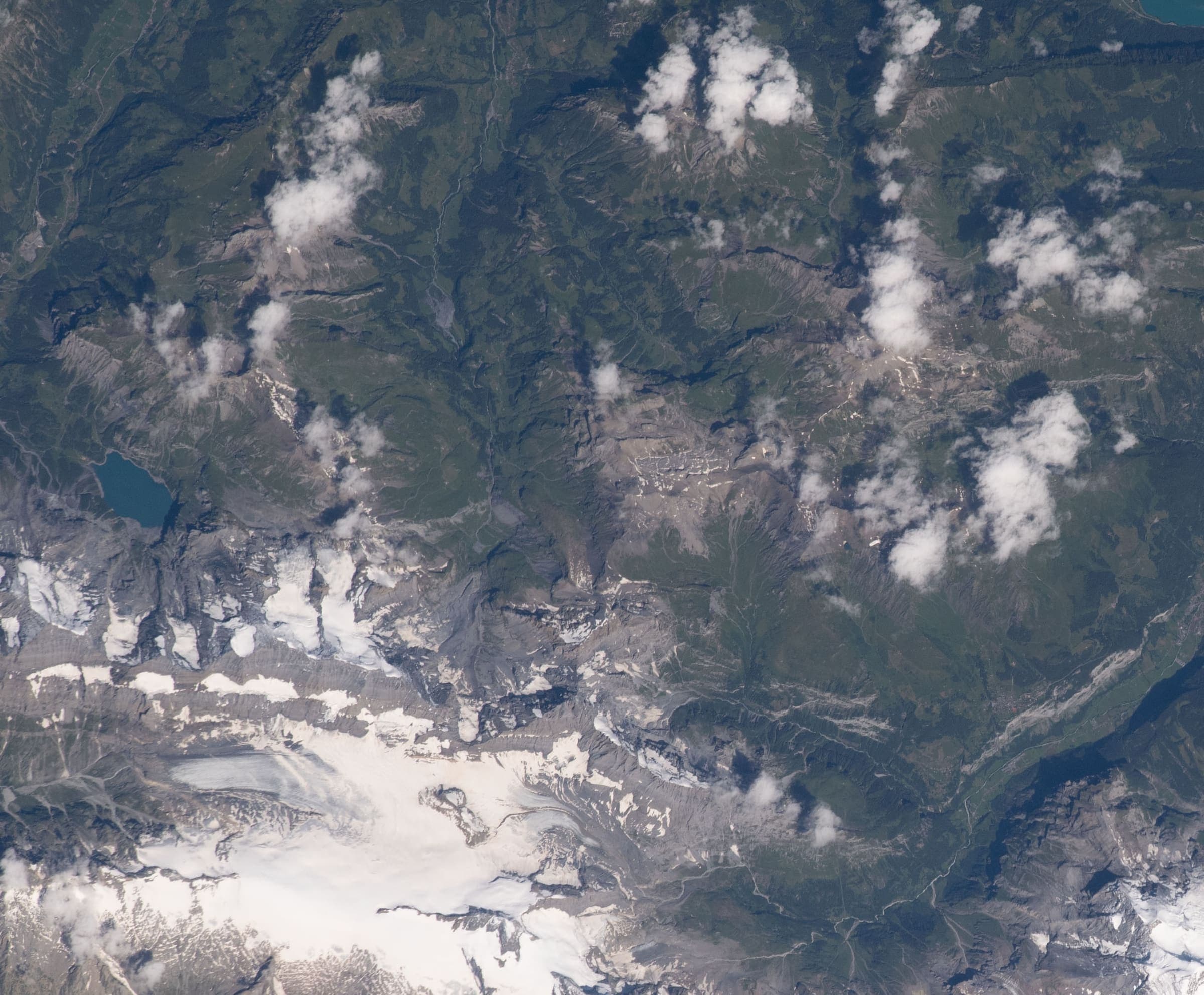
Wanderland: technical and physical grades on the route page · SAC T2 (mapped — no official SAC grade) · YDS 1
Lötschberg-Panoramaweg
Distance 50.2 km Reported · Ascent provisional (DEM sample) · High point provisional (DEM sample) · T2 · OSM route · permit-free on this record
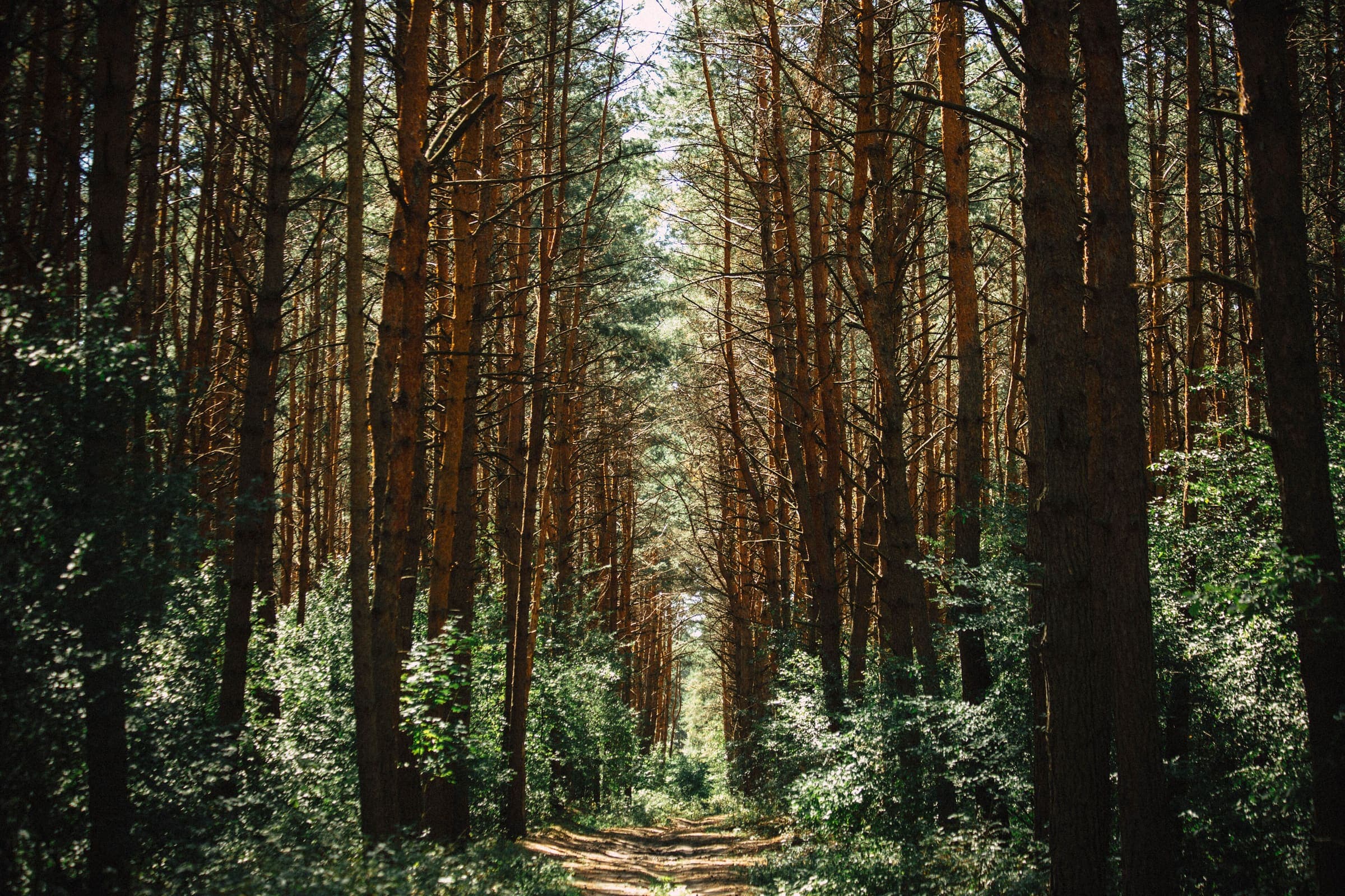
SAC T2 · YDS 1
Manker Wallfahrerweg
Distance 32.3 km Reported · Ascent provisional (DEM sample) · High point provisional (DEM sample) · T2 · OSM route · permit-free on this record
Showing 48 of 254. Narrow the filter to see the rest.