
Mount Rinjani (Sembalun)
Gunung Rinjani (Sembalun)
OSM hiking route on Gunung Rinjani, Lombok (31.1 km line), Sembalun toward the crater-rim / summit camp. Not the Senaru or Timbanuh relations. Vertical figures sampled from Copernicus GLO-30. typicalDays 3 is the published 2–3 day summit window (typical, not a statute).
Byline
- The Hiking World editorial · author
Desk byline for seed records. Named surveying editors replace this once a trail is verified.
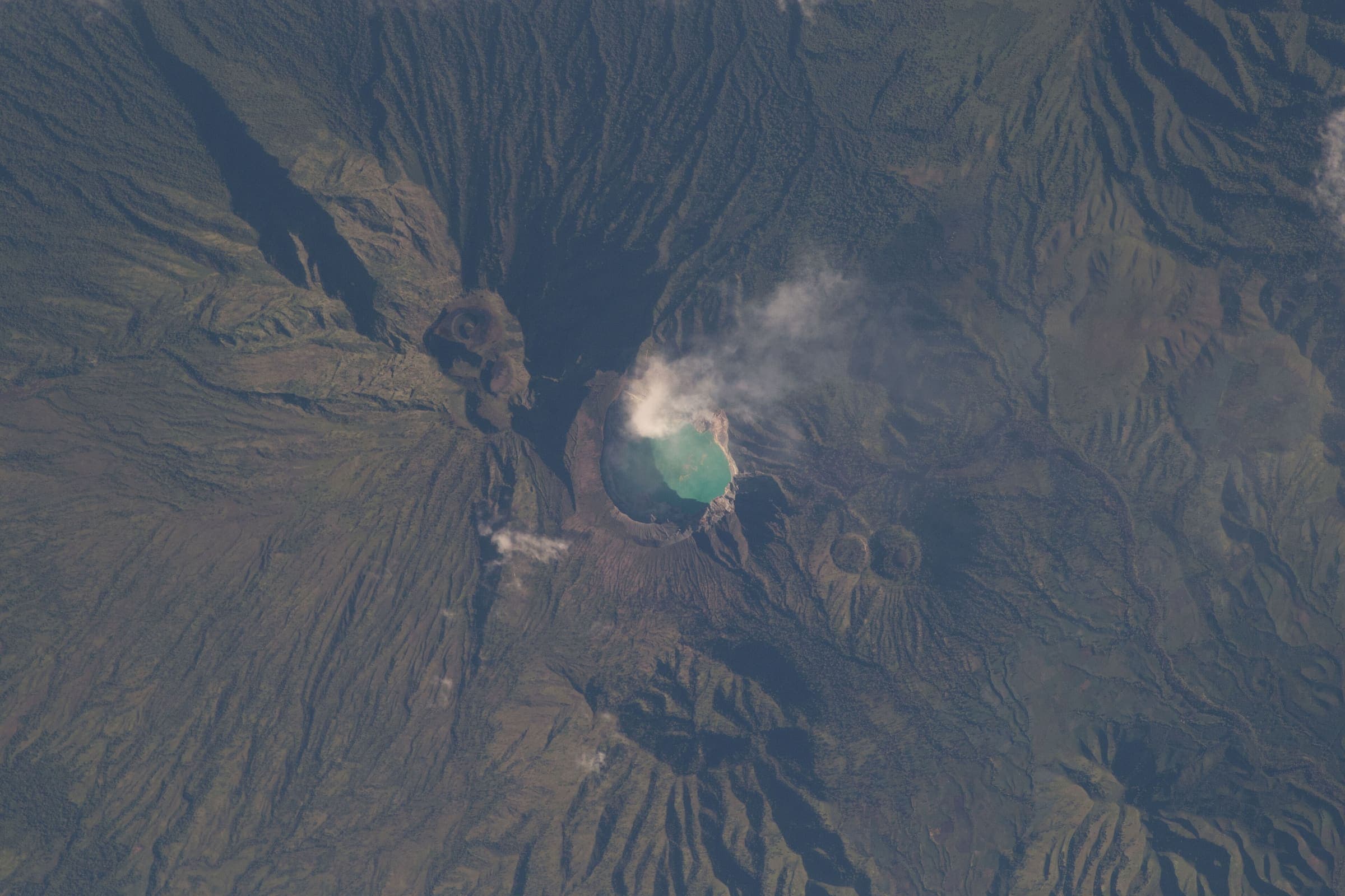
Figures marked provisional are seed data and still need verification. Source and last-checked date sit under each cited value.
Altitude weather delta
High 3,705 m minus low 709 m is 2,996 m of relief on this record. A standard tropospheric lapse of 6.5 °C per 1,000 m implies about 19.5 °C cooler at the high point than the valley, all else equal.
That is a model (International Standard Atmosphere environmental lapse), not a forecast and not a trail-closure. Wind, snow, and storms stay in Hazards.
derived:lapse-rate · 2026-09-10 · provisionalISA 6.5 °C / 1,000 m · wikipedia.org · 2026-09-10
Editorial v1 · Provisional catalog
- SAC T3 (mapped — no official SAC grade)
- Demanding mountain hiking. Exposed sections possible; hands may be needed for balance.
- YDS Class 2
- Class 2. Simple scrambling, occasional use of hands.
Log in to view the elevation profile
Ingested from OpenStreetMap relation 17259217 (ODbL). The mapped line and 2D length are derived from that geometry. Ascent, descent, and high/low points are sampled from Copernicus GLO-30 (copernicus-dem:glo-30) and remain provisional. Water, permits, and hazards were not taken from OSM tags and must be verified.
OSM 2D length is 31.1 km (relation 17259217; OSM name=Mount Rinjani (Sembalun BC), route=hiking). This is the Sembalun hiking line, not Senaru 17259241 and not Timbanuh 17259251 — those were not stitched into a Sembalun→summit→Senaru traverse. Operator ~30–34 km figures for a Sembalun–Senaru summit itinerary are Unverified cross-checks, not this DataPoint; no park-authority kilometre was retrieved (https://www.rinjaninationalpark.id/, checked 2026-09-11). The stored line is not doubled.
typicalDays 3 is the published typical 2–3 day summit window, not a DataPoint. A dry-season window of about April–December (closed January–March) is widely described; it was not copied from a TNGR statute this pass — confirm the live eRinjani calendar.
DEM high 3,705 m is 21 m under the commonly cited 3,726 m summit (TNGR, checked 2026-09-11) — GLO-30 undershoot on the crater rim, not a different peak. High point left as Copernicus, not overwritten. Low 709 m and cumulative ascent 3,204 m / descent 3,480 m are samples of this Sembalun BC line. Do not treat them as a Senaru-exit walking profile.
Water was not mapped to named WaterSource points (no honest atFraction). Springs and crater-lake water exist on published descriptions; they were not positioned from an official named list this pass.
Water
No water sources recorded.
Permits & fees
- Permit
- e-Rinjani national-park ticket (quota; licensed guide)
Log in to view cost, booking, and issuer
Getting there
Sourced legs to the Sembalun side (OSM line start) base start station — where this trail record begins. This is not a route planner: durations are approximate and marked provisional until an official transport page confirms them.
Road · Denpasar (DPS) → Sembalun Lawang
Ngurah Rai International Airport on Bali is the usual international air gateway (https://en.wikipedia.org/wiki/Ngurah_Rai_International_Airport, checked 2026-09-11, CC BY-SA). Ferry and road continue to Lombok; Sembalun Lawang is the usual vehicle approach for this OSM line.
en.wikipedia.org · 2026-09-11 · wikidata · official · provisional
eRinjani national-park ticket, quota, and a park-authorised guide are required for foreign trekkers (https://www.rinjaninationalpark.id/, checked 2026-09-11). Ticket amounts are not copied here.
Plan from your location
Type a city, then pick a match. These links open external search tools — they do not fetch fares or timetables.
Trailheads
- Sembalun side (OSM line start) car-free: no
- OSM line end (Sembalun BC relation) car-free: unknown
Log in to view trailhead transit detail
Hazards
- Active volcano: Gunung Rinjani is a living stratovolcano. Quota, route, and closure decisions sit with Balai TNGR / eRinjani — confirm before travel (rinjaninationalpark.id, checked 2026-09-11).
- Altitude: GLO-30 high 3,705 m on this line; the commonly cited summit is 3,726 m (same TNGR page). AMS is a public safety fact, not a grade.
- Quota / closure: TNGR registers trekkers through eRinjani with route, date, and quota control. Foreign trekkers must use a permitted organiser and a park-authorised guide (same page, checked 2026-09-11).
Questions
Do I need a permit for Mount Rinjani (Sembalun)?
A permit is required for Mount Rinjani (Sembalun): e-Rinjani national-park ticket (quota; licensed guide). Cost, booking, and issuer stay behind the login gate on this page.
When is the best time to hike Mount Rinjani (Sembalun)?
On this record the best season is: Widely described dry Apr–Dec (closed Jan–Mar); confirm eRinjani.
How difficult is Mount Rinjani (Sembalun)?
Mount Rinjani (Sembalun) is graded SAC T3 (mapped — no official SAC grade) · YDS 2. A sourced hazard on this record: Altitude: GLO-30 high 3,705 m on this line; the commonly cited summit is 3,726 m (same TNGR page). AMS is a public safety fact, not a grade.
How long is Mount Rinjani (Sembalun)?
The OSM 2-D length on this record is 31.1 km (provisional). Published figures may differ. See /guides/how-long-is-the-trail
How do I get to Mount Rinjani (Sembalun)?
The record’s base start is Sembalun side (OSM line start). A primary gateway on the record is Ngurah Rai International Airport (DPS). Trailhead transit notes are not included in this public FAQ.
Related trails
- Ala-Kul Lake Trek · Same collection
- Alta Via 1 · Same collection
- Everest Base Camp Trek · Same collection
- Fishermen's Trail · Same collection
- GR20 · Same collection
- Inca Trail (Classic 4-day) · Same collection
Featured in
Related links
- OfficialTaman Nasional Gunung Rinjani (eRinjani)rinjaninationalpark.id · 2026-09-11 · official · provisional