
Facet · Summit · 4 trails
Walk-up & trekker summits
These summits are reachable on foot. Where a peak needs ropes, cables, or glacier travel to finish, we map the walk and mark where it ends — we don't dress a climb as a hike.
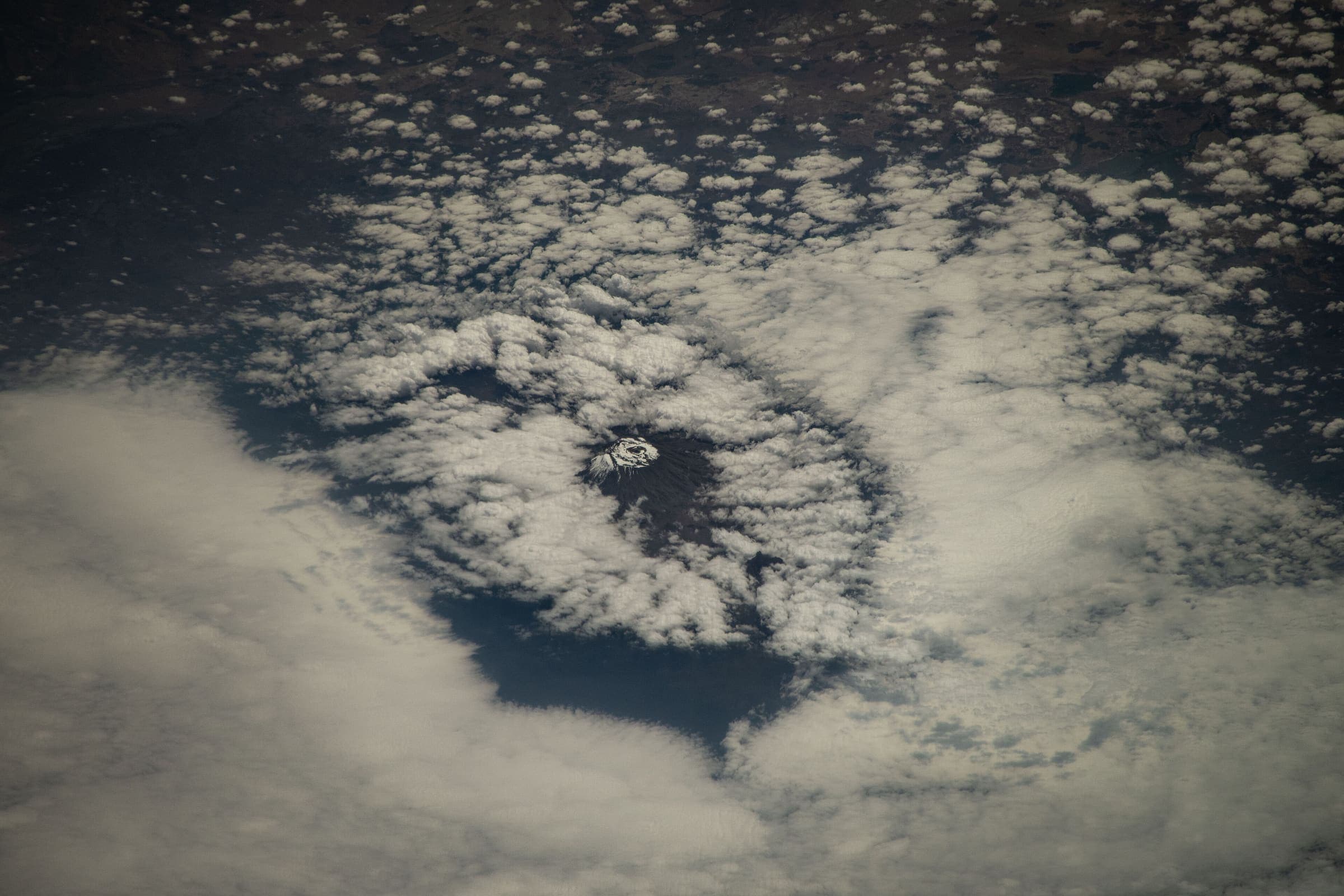
Membership is earned from records tagged as a walk-up or trekker summit. Base-camp treks are not listed here — those walks stop at camp; the peak above is mountaineering. Pure mountaineering summits are out of scope.
Walk-up summits
Trail to the top. No technical section on the standard hikers' route.
point-to-point
Mount Rinjani (Sembalun)
OSM 31.1 km*
osm:relation:17259217 · 2026-09-11 · osm · provisionalSAC T3 (mapped — no official SAC grade) · YDS 2
out-and-back
Mount Toubkal (Imlil)
OSM 11.9 km*
osm:relation:13517133 · 2026-09-11 · osm · provisionalSAC T3 (mapped — no official SAC grade) · YDS 2
out-and-back
Volcán Acatenango
OSM 12.6 km*
curated:schematic · 2026-09-11 · editorial · provisionalSAC T3 (mapped — no official SAC grade) · YDS 2
point-to-point
Mount Kenya (Sirimon–Chogoria)
OSM 26.6 km*
curated:schematic · 2026-09-11 · editorial · provisionalSAC T3 (mapped — no official SAC grade) · YDS 2
Walking ends at Point Lenana (4,985 m). Beyond that is mountaineering we do not map as a trail.
Walk-up with a scramble or technical finish
We map the walk and mark where it ends. The last section is a scramble or cables we do not map as walking.
None in this catalog yet.
Also in this desk: All facets · Scrambles & exposed alpine ground · Collections.