
Volcán Acatenango
Volcán Acatenango
Curated schematic — not walking distance. Pin-to-pin OSM named-waypoint line from La Soledad to Volcán Acatenango (12.6 km one-way). Return retraces; the stored line is not doubled. Vertical figures are a GLO-30 sample of those pins, not a walking profile. typicalDays 2 is the published overnight (typical, not a statute).
Byline
- The Hiking World editorial · author
Desk byline for seed records. Named surveying editors replace this once a trail is verified.
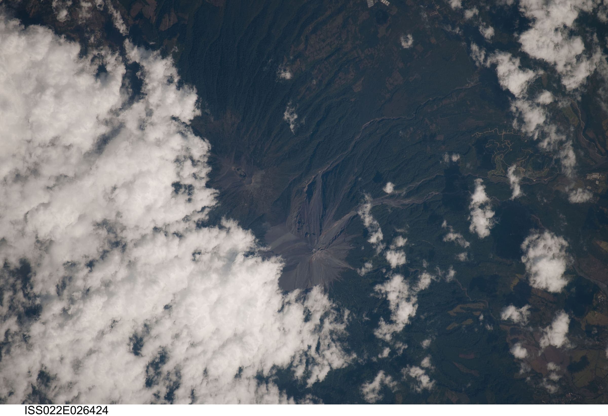
Figures marked provisional are seed data and still need verification. Source and last-checked date sit under each cited value.
Altitude weather delta
High 3,945 m minus low 1,397 m is 2,548 m of relief on this record. A standard tropospheric lapse of 6.5 °C per 1,000 m implies about 16.6 °C cooler at the high point than the valley, all else equal.
That is a model (International Standard Atmosphere environmental lapse), not a forecast and not a trail-closure. Wind, snow, and storms stay in Hazards.
derived:lapse-rate · 2026-09-10 · provisionalISA 6.5 °C / 1,000 m · wikipedia.org · 2026-09-10
Editorial v1 · Provisional catalog
- SAC T3 (mapped — no official SAC grade)
- Demanding mountain hiking. Exposed sections possible; hands may be needed for balance.
- YDS Class 2
- Class 2. Simple scrambling, occasional use of hands.
Log in to view the elevation profile
Curated schematic from named OpenStreetMap nodes (ODbL). The line is pin-to-pin, not a walking path. 2-D length is labelled schematic — not walking distance. Ascent, descent, and high/low points are Copernicus GLO-30 samples at those vertices only (copernicus-dem:glo-30) and remain provisional. Water, permits, and hazards were not taken from OSM tags and must be verified.
No single connected Acatenango hiking relation resolved on 2026-09-11 (Nominatim/Overpass: no route=hiking parent; no named highway=path|footway). Geometry is an ordered pin-to-pin line through OSM-resolved named nodes: La Soledad → Acatenango. 2-D length 12.6 km is schematic — not walking distance (one-way pins; return retraces). Operator/AllTrails ~17–18 km round-trip figures are Unverified cross-checks, not this DataPoint. osmRelationId is unset. Never graduate to verified without a single connected OSM hiking relation.
Mexico “Volcán Acatenango” bus-stop Nominatim hits were not used. The peak pin is OSM volcano node 2700409117, not a Mexican namesake.
typicalDays 2 is the published typical overnight, not a DataPoint. A drier November–April window is widely described; it was not copied from a CONAP statute this pass.
GLO-30 high 3,945 m and cumulative ascent 2,548 m are samples at the two schematic vertices only — indicative, not a walking profile. High is 31 m under the commonly cited 3,976 m summit; left as Copernicus, not overwritten.
Water was not mapped to named WaterSource points (no honest atFraction). Camps exist on published descriptions; they were not positioned from an official named list this pass.
Water
No water sources recorded.
Permits & fees
Permit status is unverified. Parque Regional Municipal Astillero Volcán Acatenango reopened 2026-08-07 after Fuego activity (Municipalidad de Acatenango via Infobae, checked 2026-09-11). Hiking is authorised only on previously enabled routes; direct access to the Fuego crater remains prohibited. A park-entry amount at La Soledad is widely quoted; it is not copied here (Unverified). Certified-guide language is widely described (CONRED/INGUAT) but was not retrieved as a statute PDF this pass — confirm locally. No walking-fee figure was invented.
Getting there
Sourced legs to the La Soledad (schematic start) base start station — where this trail record begins. This is not a route planner: durations are approximate and marked provisional until an official transport page confirms them.
Road · Guatemala City (GUA) → La Soledad
La Aurora International Airport is the usual international air gateway (https://en.wikipedia.org/wiki/La_Aurora_International_Airport, checked 2026-09-11, CC BY-SA). Road continues via Antigua Guatemala toward La Soledad.
en.wikipedia.org · 2026-09-11 · wikidata · official · provisional
Municipal park entry at La Soledad; fee amount Unverified this pass. Direct access to the Fuego crater remains prohibited (Municipalidad de Acatenango via Infobae, 2026-08-09, checked 2026-09-11).
Plan from your location
Type a city, then pick a match. These links open external search tools — they do not fetch fares or timetables.
Trailheads
- La Soledad (schematic start) car-free: unknown
- Volcán Acatenango (schematic end) car-free: yes
Log in to view trailhead transit detail
Hazards
- Adjacent active Volcán de Fuego: eruption views are the demand; the Fuego crater itself remains prohibited after the 2026 activity (Municipalidad de Acatenango via Infobae, 2026-08-09, checked 2026-09-11).
- Altitude: GLO-30 high 3,945 m at the summit pin (2-vertex schematic sample). AMS and a cold summit camp are public safety facts, not this DEM gain.
- Park closure: the municipal park can close again when Fuego’s behaviour changes. Confirm locally before travel.
Questions
Do I need a permit for Volcán Acatenango?
Permit status is unverified for Volcán Acatenango. This desk does not assert that a walking permit is or is not required.
When is the best time to hike Volcán Acatenango?
On this record the best season is: Widely described drier Nov–Apr.
How difficult is Volcán Acatenango?
Volcán Acatenango is graded SAC T3 (mapped — no official SAC grade) · YDS 2. A sourced hazard on this record: Altitude: GLO-30 high 3,945 m at the summit pin (2-vertex schematic sample). AMS and a cold summit camp are public safety facts, not this DEM gain.
How long is Volcán Acatenango?
This figure is 12.6 km (provisional): a schematic straight-line estimate between waypoints — not a measured walking distance; published figures are the better guide. See /guides/how-long-is-the-trail
How do I get to Volcán Acatenango?
The record’s base start is La Soledad (schematic start). A primary gateway on the record is La Aurora International Airport (GUA). Trailhead transit notes are not included in this public FAQ.
Related trails
- Ala-Kul Lake Trek · Same collection
- Alta Via 1 · Same collection
- Everest Base Camp Trek · Same collection
- Fishermen's Trail · Same collection
- GR20 · Same collection
- Inca Trail (Classic 4-day) · Same collection
Featured in
Related links
- OfficialMunicipalidad de Acatenango — park reopening after Fuego (Infobae)infobae.com · 2026-09-11 · official · provisional