
Hiking trails in United Kingdom
GB
Britain's long-distance walking splits north of the border and across the Roman wall. Scotland's West Highland Way is the best-known trail — Milngavie to Fort William, 154 km along lochs, over Rannoch Moor, and up the Devil's Staircase, with no walking permit under the right to roam. England's Hadrian's Wall Path is the other National Trail in this catalog: Wallsend to Bowness-on-Solway, likewise no walking permit; the Summer Passport is a keepsake, and the Wall itself is a fragile scheduled monument.
2 trails that are not catalogue stubs · 0 with an official fee on the issuer’s page. Permit calendar · Include catalogue stubs (2 total)
Key facts
Each figure is the stored value and its tier. A blank cell was not recorded.
| Trail | Distance | High point | Permit |
|---|---|---|---|
| West Highland Way | 153.2 km · Reported | 550 m · provisional (DEM sample) | Unverified |
| Hadrian's Wall Path | 123.7 km · Reported | 339 m · provisional (DEM sample) | Unverified |
Map loads when this section is on screen.
Regions
2 records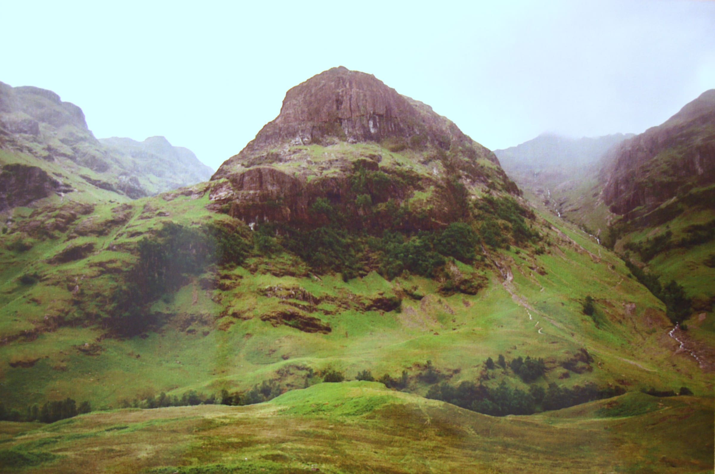
Northern Europe
Scottish Highlands
Long-distance walking in the western Highlands. The spine is well documented; seasonal diversions and reroutes are poorly tracked publicly.
Northern Europe
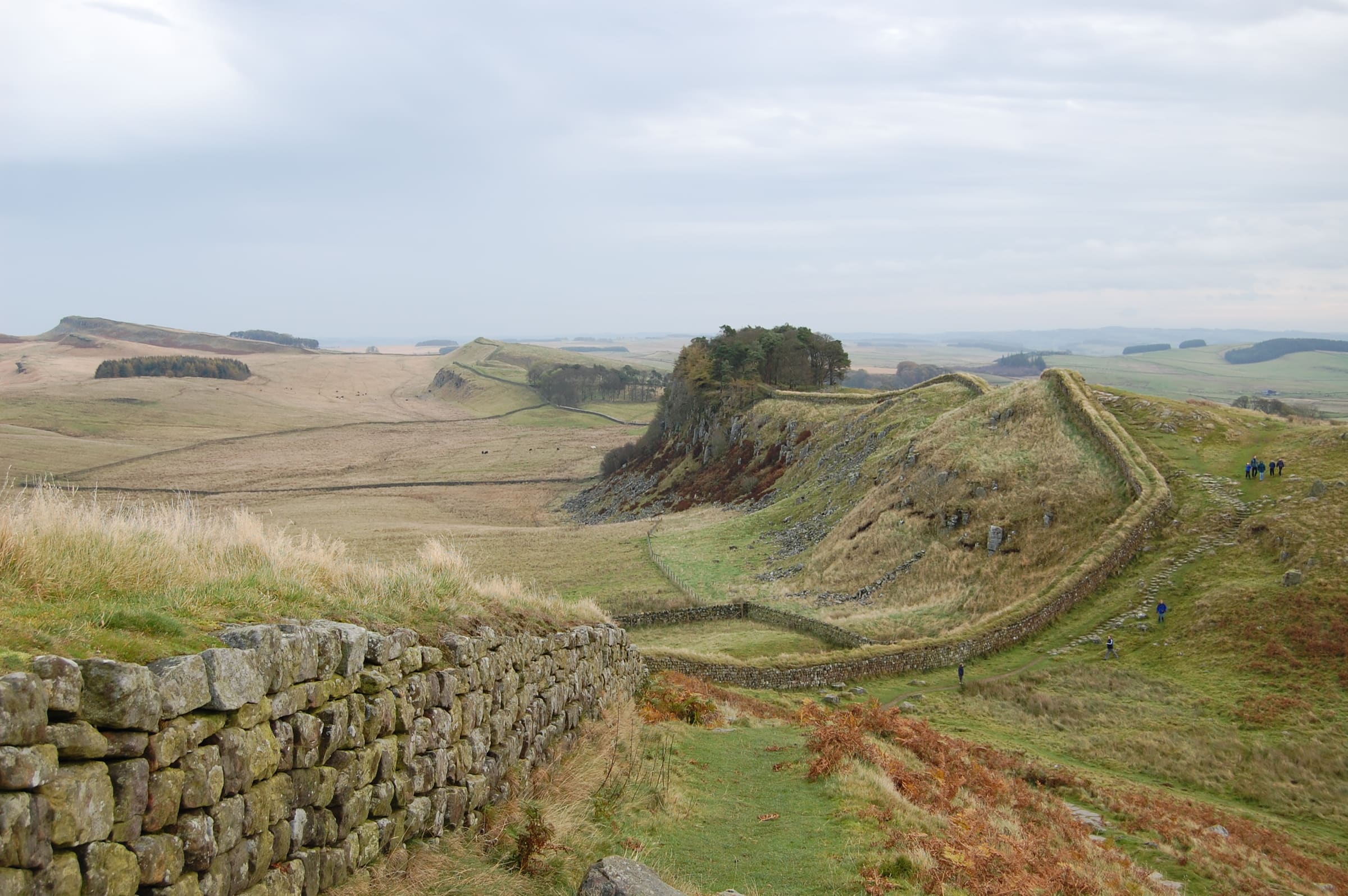
Hadrian's Wall
England's Roman-frontier National Trail across the neck of the country, Wallsend on the Tyne to the Solway coast.
Trails
2 records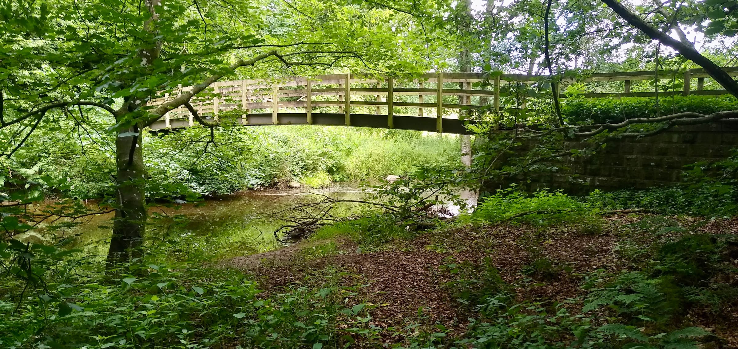
Distance 123.7 km Reported · High point provisional (DEM sample) · 7d · SAC T1
Hadrian's Wall Path
OSM hiking route across northern England (123.7 km line), Wallsend to Bowness-on-Solway. Vertical figures sampled from Copernicus GLO-30.
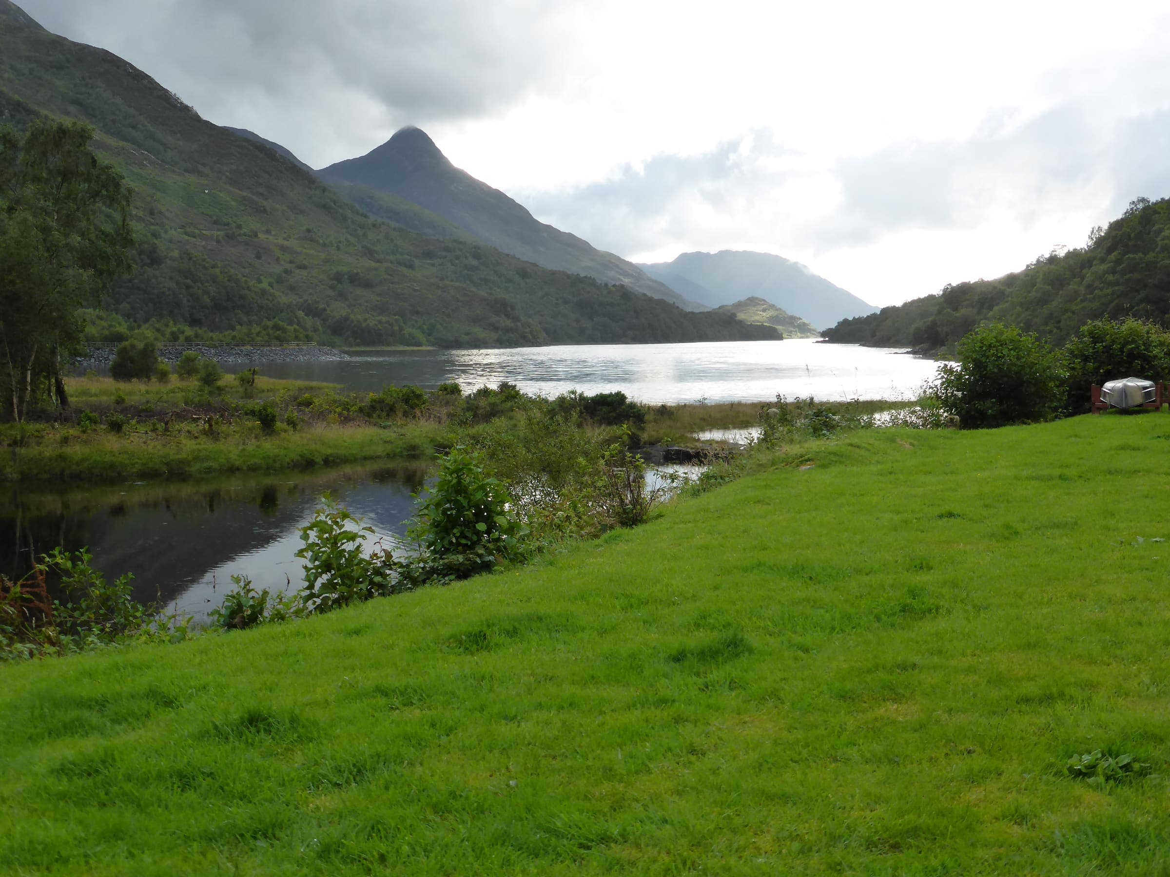
Distance 153.2 km Reported · High point provisional (DEM sample) · T2 · OSM route
West Highland Way
OSM hiking route in the Scottish Highlands (153.2 km line). Vertical figures sampled from Copernicus GLO-30.