
Trail records
Filter by country, access, region, distance, days, and SAC. Every card is a sourced record, not a crowd-drawn track dump. A–Z directory
Filters
36 of 36 · 36 edited records shown
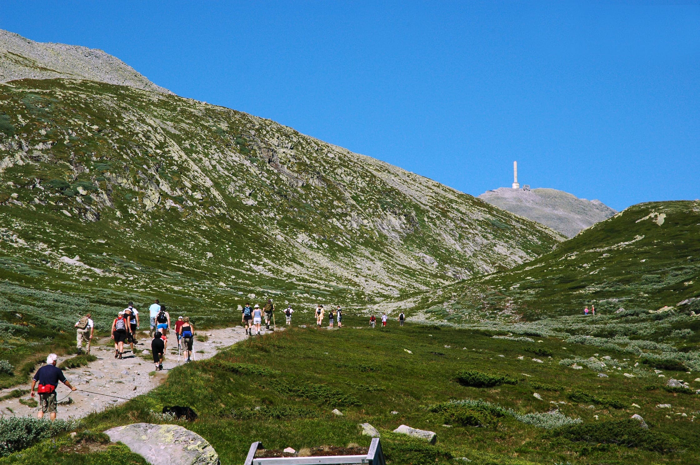
Manaslu
Manaslu Circuit
OSM hiking route Manaslu Circuit, Nepal (118.52 km line). Permits are the headline (official NTB/NTNC 2026-09-21). Vertical figures from the Wave N GLO-30 resample.
Distance 118.52 km Reported · Ascent provisional (DEM sample) · High point provisional (DEM sample) · 14d · SAC T3
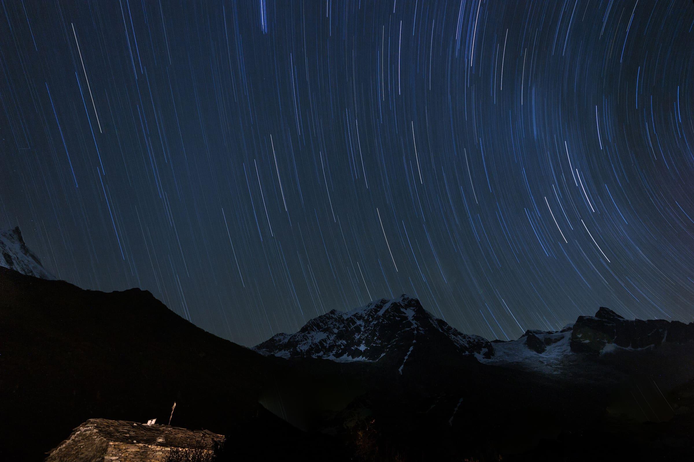
Annapurna
Mardi Himal trek
OSM hiking route in the Annapurna region (36.2 km line). The tail slug mardi-himal-base-camp-trail (2.9 km, unverified permit) was retired; its permit row was not copied. Vertical figures sampled from Copernicus GLO-30.
Distance 30.09 km Reported · High point provisional (DEM sample) · T2 · OSM route
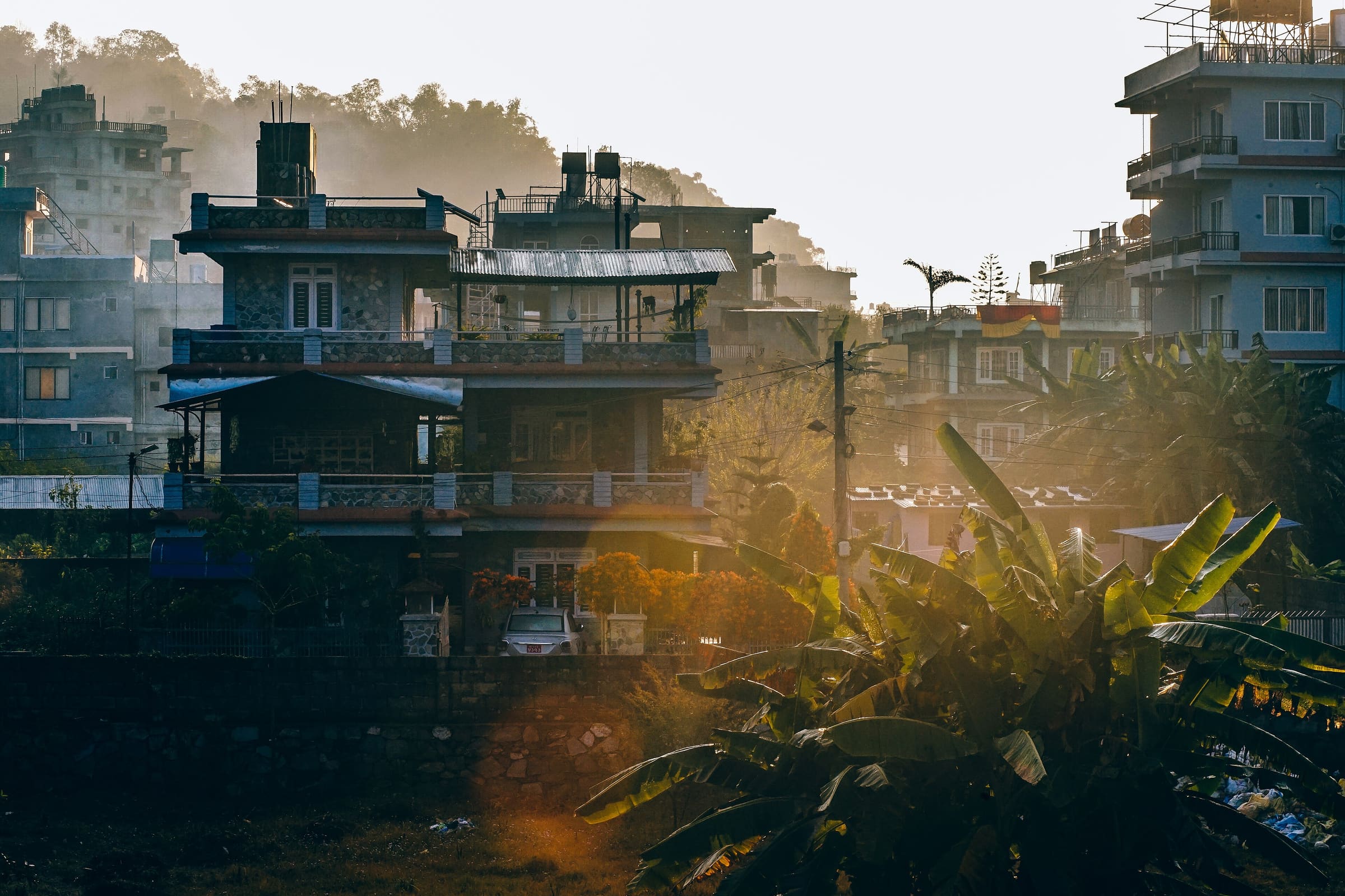
Annapurna
Miristi Khola
OSM hiking route in the Annapurna region (25.9 km line). Vertical figures sampled from Copernicus GLO-30.
Distance 25.9 km Reported · High point provisional (DEM sample) · T2 · OSM route
Lombok
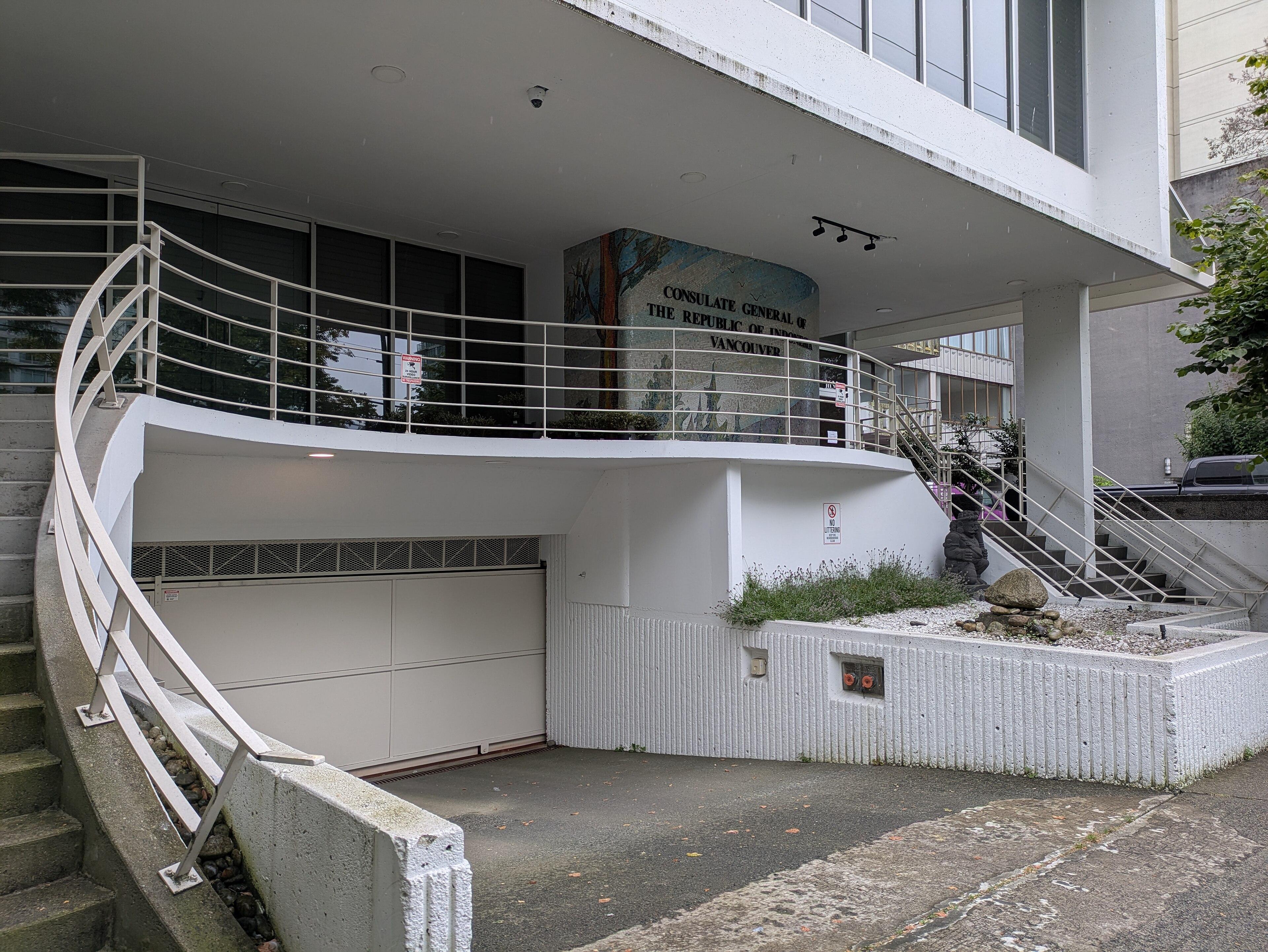
Mount Rinjani (Sembalun)
OSM hiking route on Gunung Rinjani, Lombok (31.1 km line), Sembalun toward the crater-rim / summit camp. Not the Senaru or Timbanuh relations. Vertical figures sampled from Copernicus GLO-30. typicalDays 3 is the published 2–3 day summit window (typical, not a statute).
Distance 31.1 km Reported · Ascent provisional (DEM sample) · High point provisional (DEM sample) · 3d · SAC T3
Annapurna
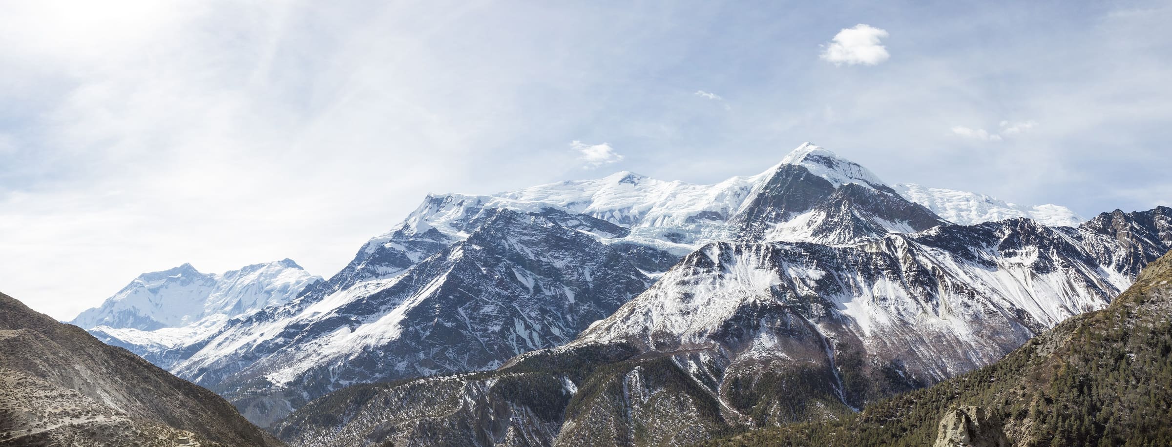
Naar to Tange
OSM hiking route in the Annapurna region (52 km line). Vertical figures sampled from Copernicus GLO-30.
Distance 52 km Reported · High point provisional (DEM sample) · T2 · OSM route
Annapurna
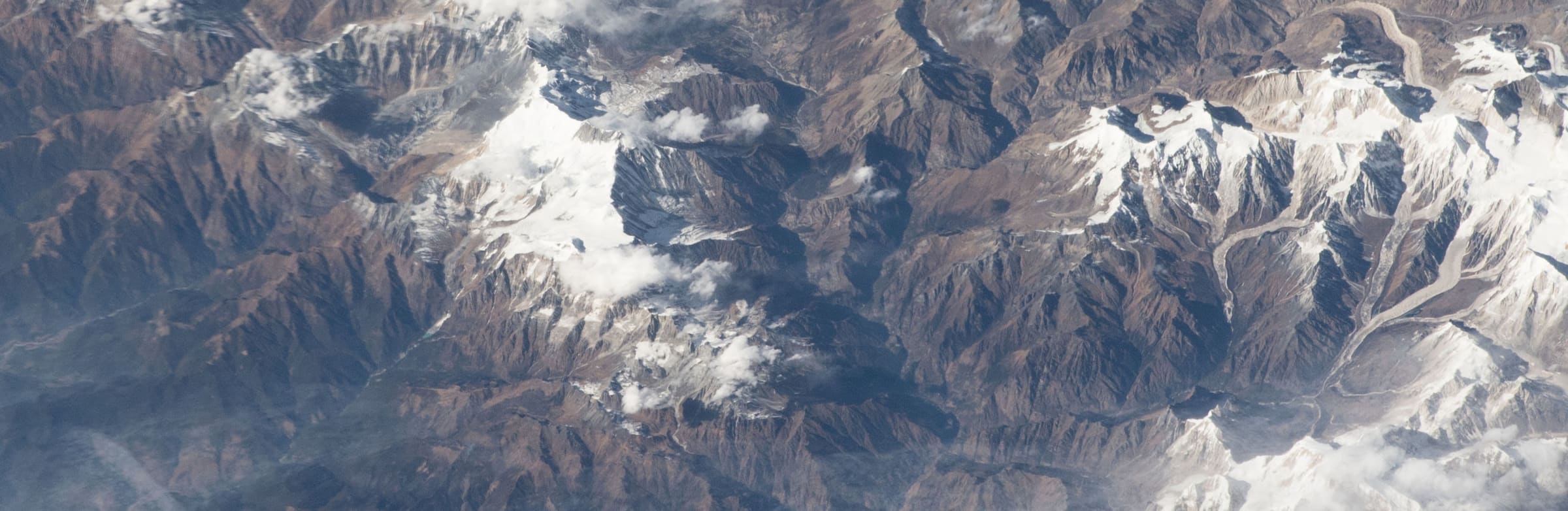
Naar-Phu trek
OSM hiking route in the Annapurna region (69.8 km line). Vertical figures sampled from Copernicus GLO-30.
Distance 64.26 km Reported · High point provisional (DEM sample) · 6d · SAC T2
Bern
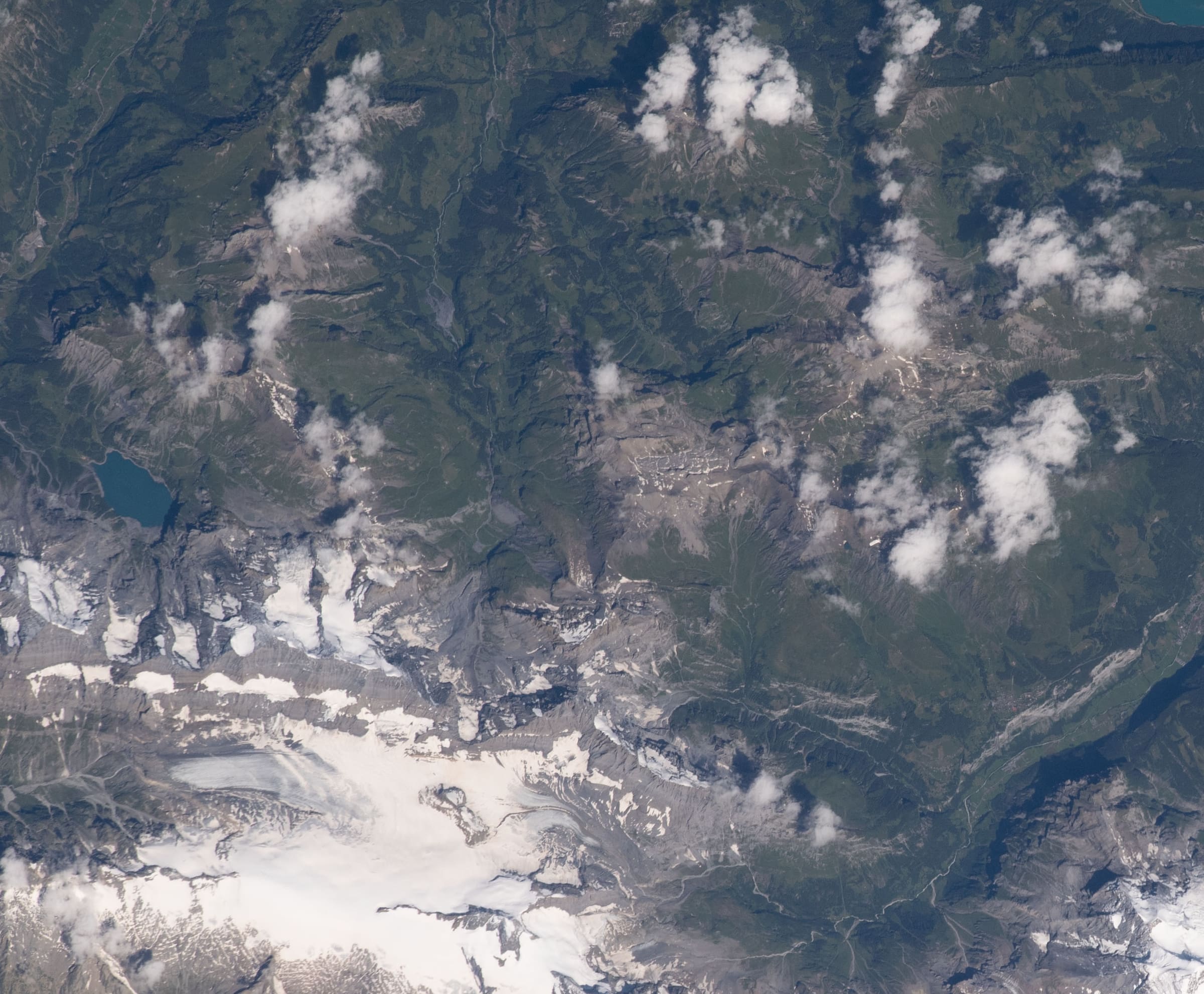
Lötschberg-Panoramaweg
Reported OSM relation: SchweizMobil regional hiking route 56, Lötschberg-Panoramaweg, Kiental to Fafleralp, 50.2 km OSM 2-D. Vertical figures sampled from Copernicus GLO-30.
Distance 50.2 km Reported · Ascent provisional (DEM sample) · High point provisional (DEM sample) · T2 · OSM route
Niederösterreich
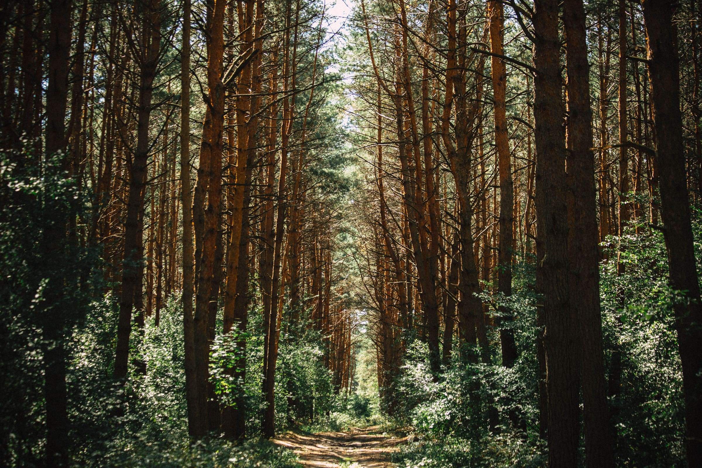
Manker Wallfahrerweg
Reported OSM relation: Manker Wallfahrerweg, St. Pölten to Mank, 32.3 km OSM 2-D. Vertical figures sampled from Copernicus GLO-30.
Distance 32.3 km Reported · Ascent provisional (DEM sample) · High point provisional (DEM sample) · T2 · OSM route
Graubünden
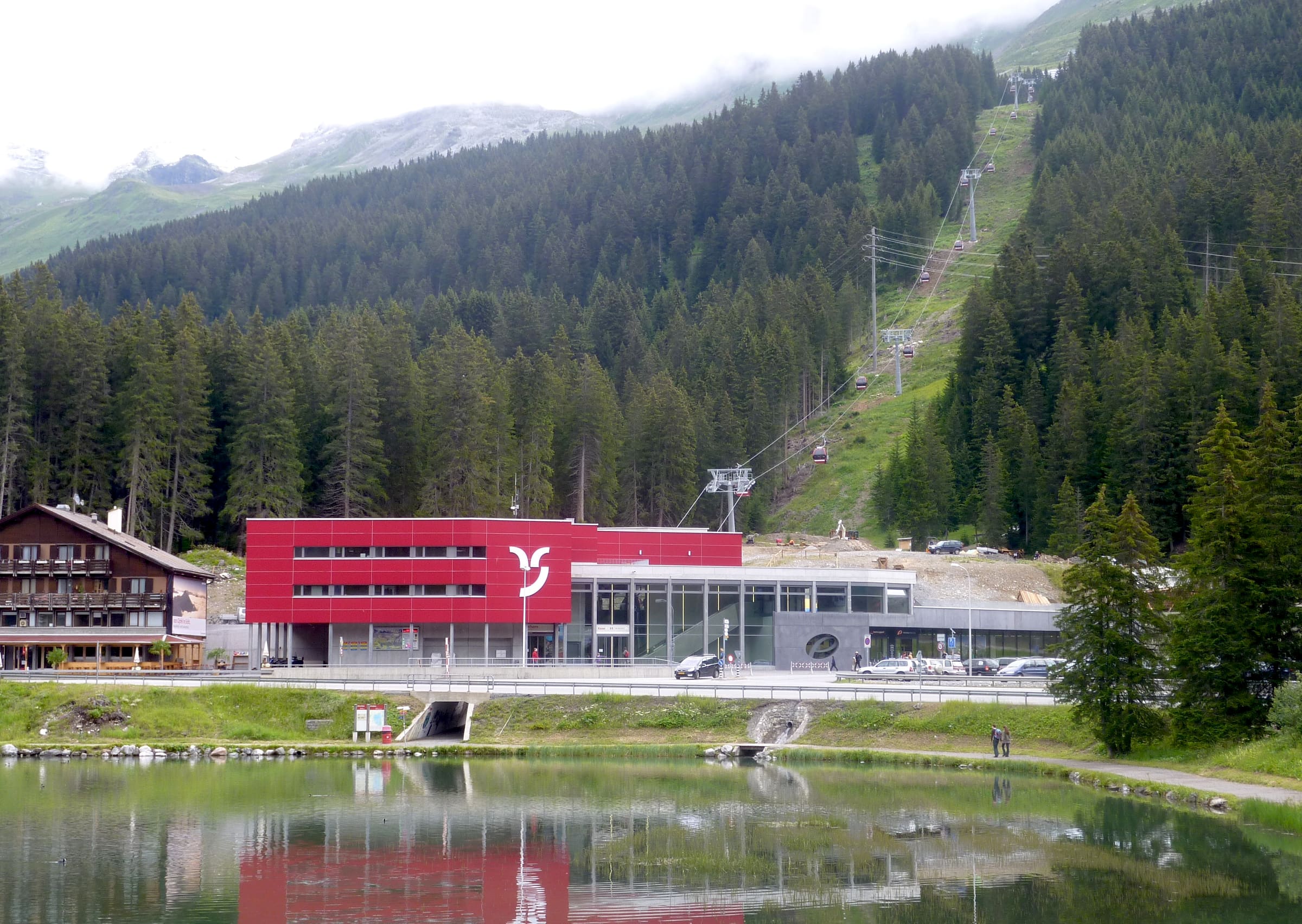
Mittelbünden-Panoramaweg
Reported OSM relation: SchweizMobil regional hiking route 54, Mittelbünden-Panoramaweg, Lenzerheide to Davos, 40.6 km OSM 2-D. Vertical figures sampled from Copernicus GLO-30.
Distance 40.6 km Reported · Ascent provisional (DEM sample) · High point provisional (DEM sample) · T2 · OSM route
Makalu-Barun
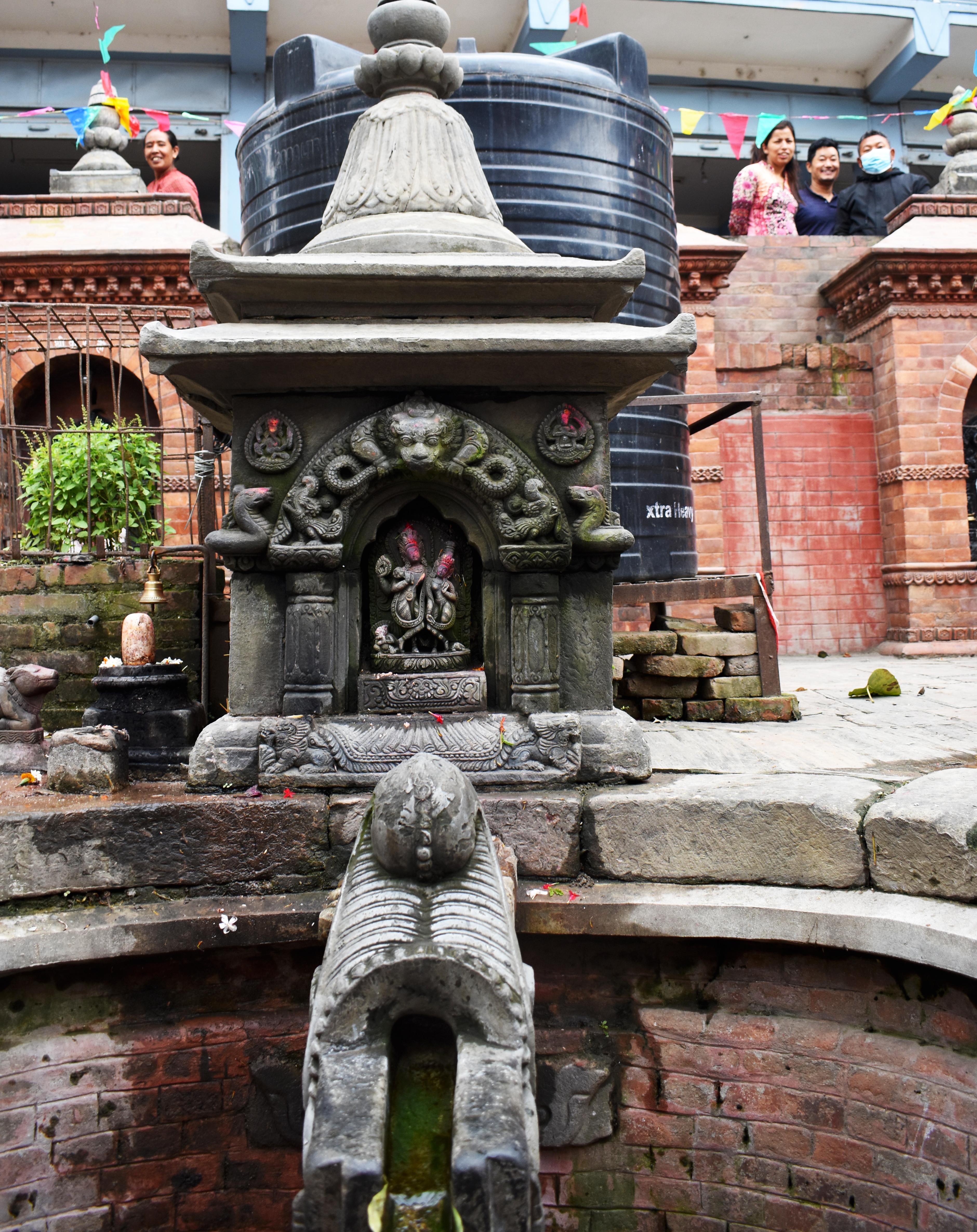
Makalu Base Camp
OSM hiking route to Makalu Base Camp, Nepal (19.99 km line). Out-and-back; one-way 19.99 km, round-trip 39.97 km in prose. Not the Arun-valley variant and not Makalu the summit. typicalDays 18 is the published 17–18 day window for the longer Num itinerary (typical, not a statute) — that window is not implied by this OSM figure.
Distance 19.99 km Reported · Ascent provisional (DEM sample) · High point provisional (DEM sample) · 18d · SAC T3
Landmannalaugar
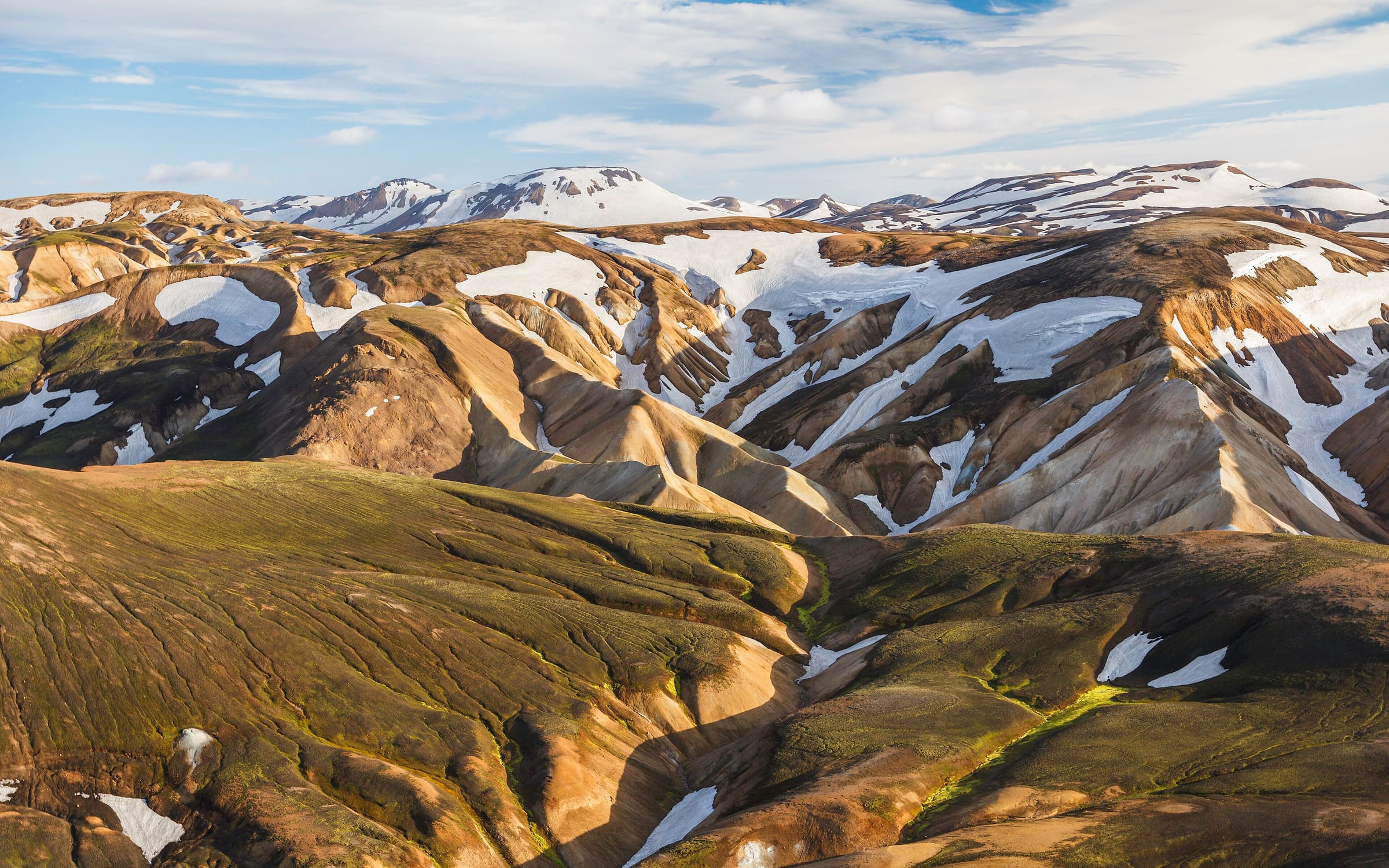
Laugavegur
Landmannalaugar–Þórsmörk highland trek. Published 55 km / 4 stages (https://www.fi.is/en/moya/adverts/425, checked 2026-11-14). Mapped line 52.8 km OSM 2-D.
Distance 55 km Reported read 2026-11-14 · Mapped line 52.8 km (OpenStreetMap geometry), Reported · Ascent provisional (DEM sample) · High point provisional (DEM sample) · 4d · SAC T2
Maharashtra
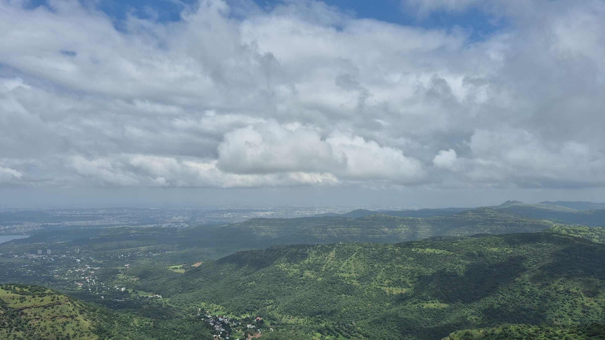
Lingana Fort
OSM hiking route Lingana Fort, Maharashtra (7.75 km line). out-and-back; one-way 7.75 km, round-trip 15.5 km in prose. Vertical figures from the GLO-30 resample. Days unknown.
Distance 7.75 km Reported · Ascent provisional (DEM sample) · High point provisional (DEM sample) · T2 · OSM route
Lycia
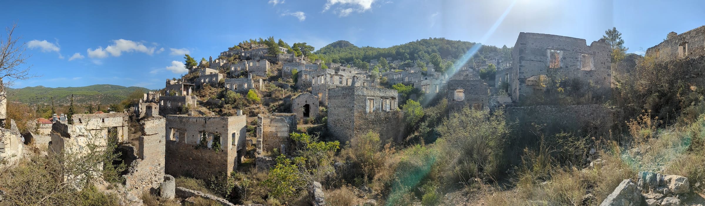
Lycian Way
OSM hiking route in Lycia, Türkiye (454.5 km line). Vertical figures sampled from Copernicus GLO-30.
Distance 454.5 km Reported · High point provisional (DEM sample) · T2 · OSM route
Maharashtra
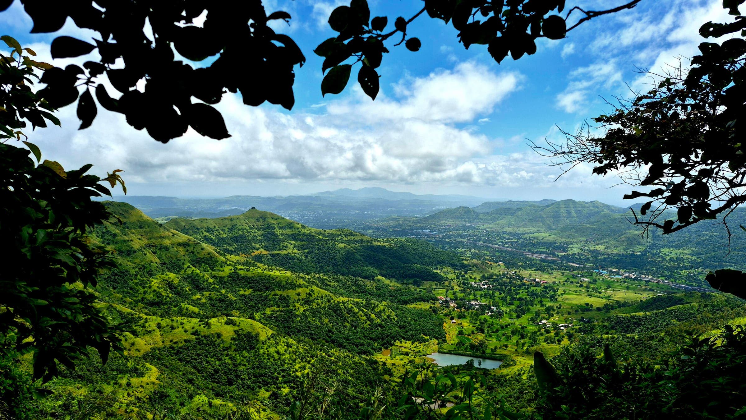
Machhindragad Fort
OSM hiking route Machhindragad Fort, Maharashtra (1.56 km line). out-and-back; one-way 1.56 km, round-trip 3.12 km in prose. Vertical figures from the GLO-30 resample. Days unknown.
Distance 1.56 km Reported · Ascent provisional (DEM sample) · High point provisional (DEM sample) · T2 · OSM route
Maharashtra
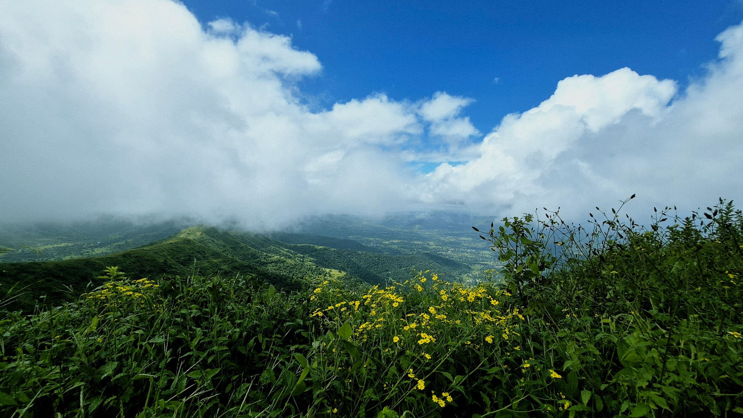
Mahendragad Fort
OSM hiking route Mahendragad Fort, Maharashtra (1.69 km line). out-and-back; one-way 1.69 km, round-trip 3.38 km in prose. Vertical figures from the GLO-30 resample. Days unknown.
Distance 1.69 km Reported · Ascent provisional (DEM sample) · High point provisional (DEM sample) · T2 · OSM route
Maharashtra
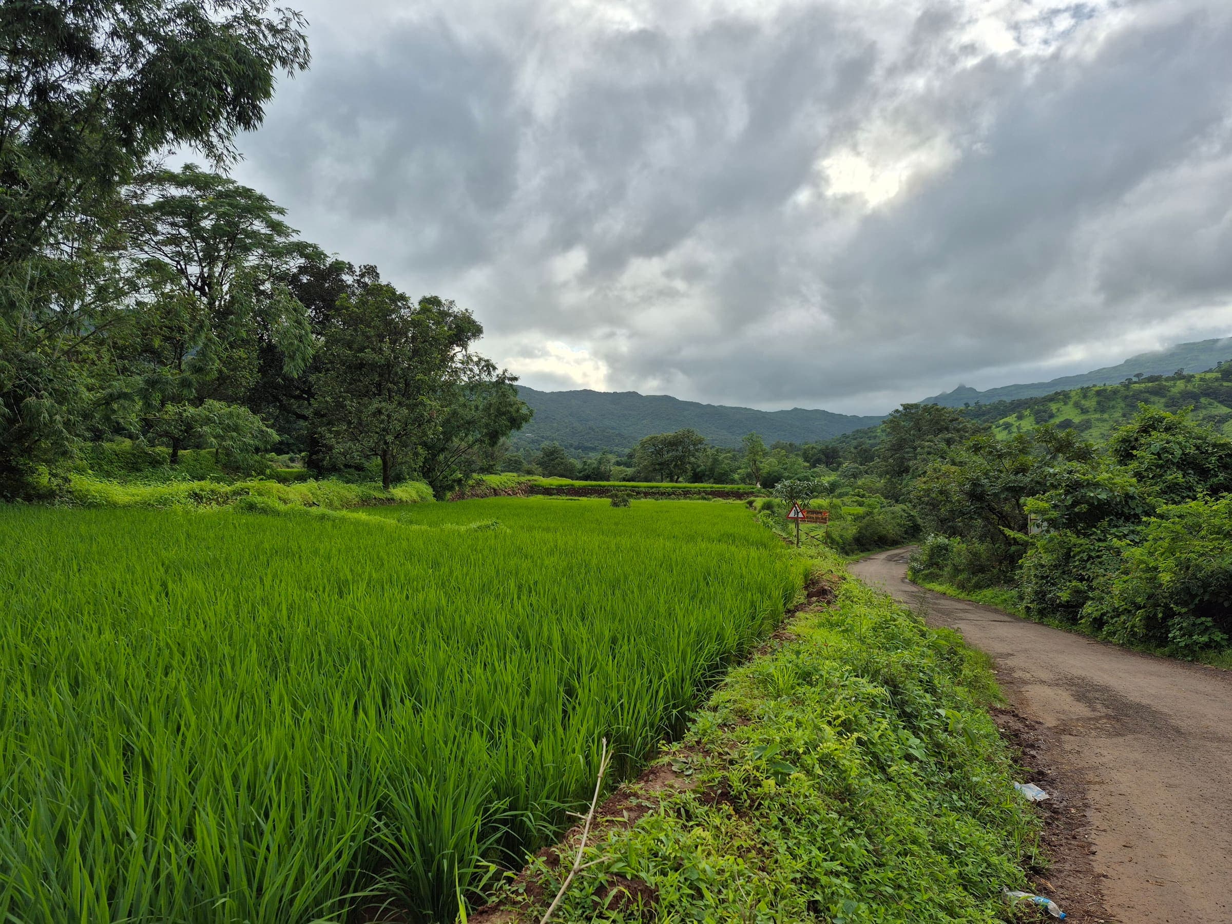
Mahuli Fort
OSM hiking route Mahuli Fort, Maharashtra (6.61 km line). out-and-back; one-way 6.61 km, round-trip 13.22 km in prose. Vertical figures from the GLO-30 resample. Days unknown.
Distance 6.61 km Reported · Ascent provisional (DEM sample) · High point provisional (DEM sample) · T2 · OSM route
Maharashtra
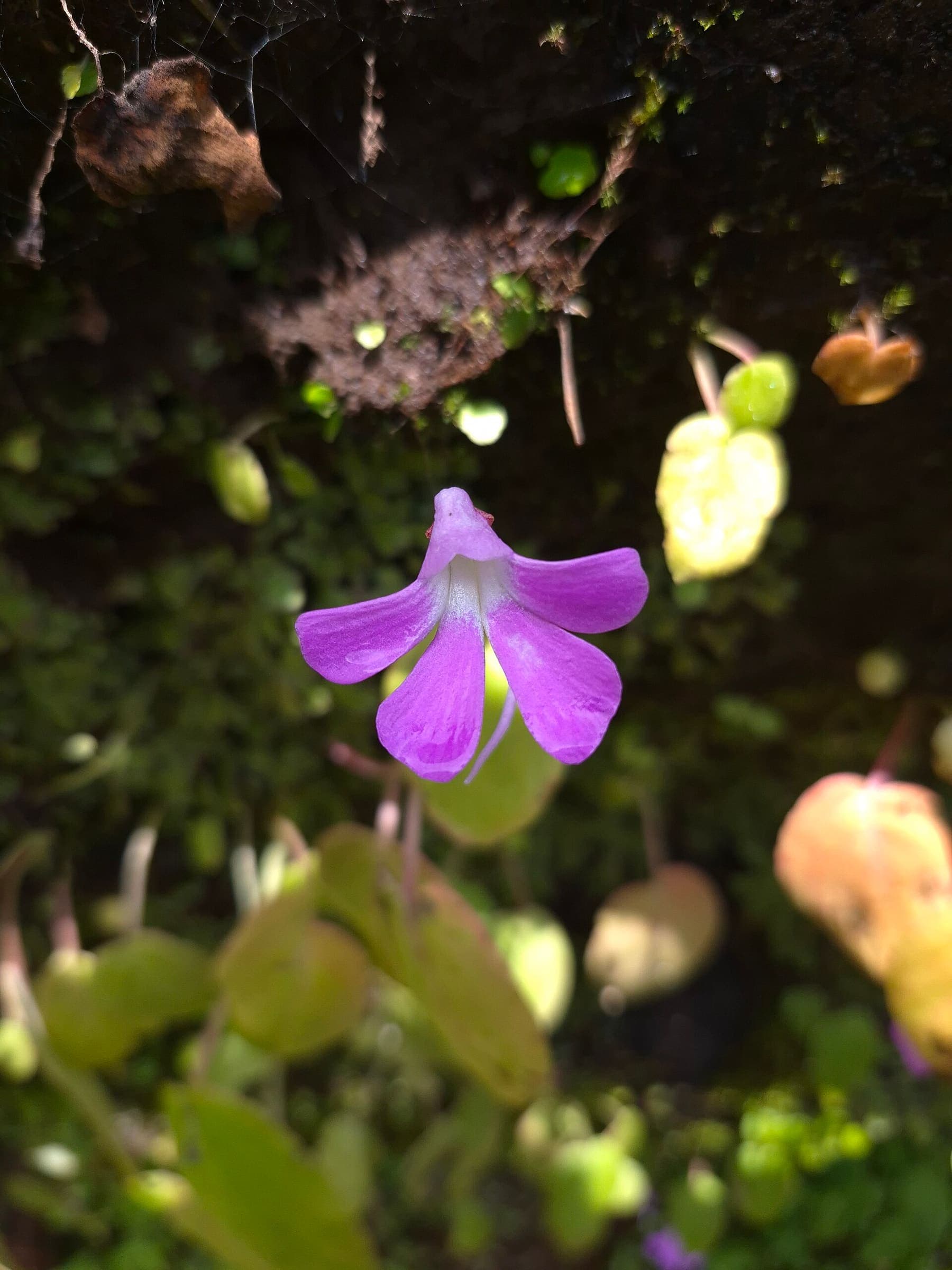
Makarandgad Fort
OSM hiking route Makarandgad Fort, Maharashtra (14.78 km line). Vertical figures from the GLO-30 resample. Days unknown.
Distance 14.78 km Reported · Ascent provisional (DEM sample) · High point provisional (DEM sample) · T2 · OSM route
Maharashtra
Malhargad Fort
OSM hiking route Malhargad Fort, Maharashtra (7.37 km line). ⚠ 2-component 150 m gap. Vertical figures from the GLO-30 resample. Days unknown.
Distance 7.37 km Reported · Ascent provisional (DEM sample) · High point provisional (DEM sample) · T2 · OSM route
Maharashtra
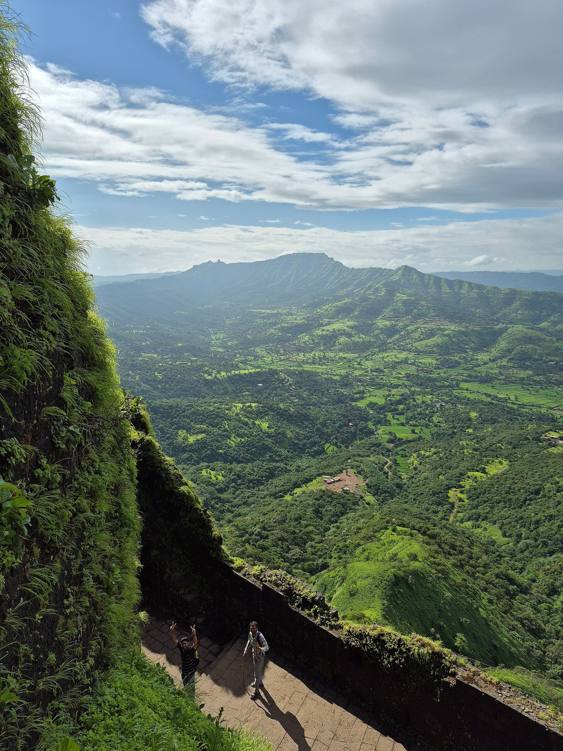
Mangalgad Fort
OSM hiking route Mangalgad Fort, Maharashtra (9.29 km line). Vertical figures from the GLO-30 resample. Days unknown.
Distance 9.29 km Reported · Ascent provisional (DEM sample) · High point provisional (DEM sample) · T2 · OSM route
Maharashtra
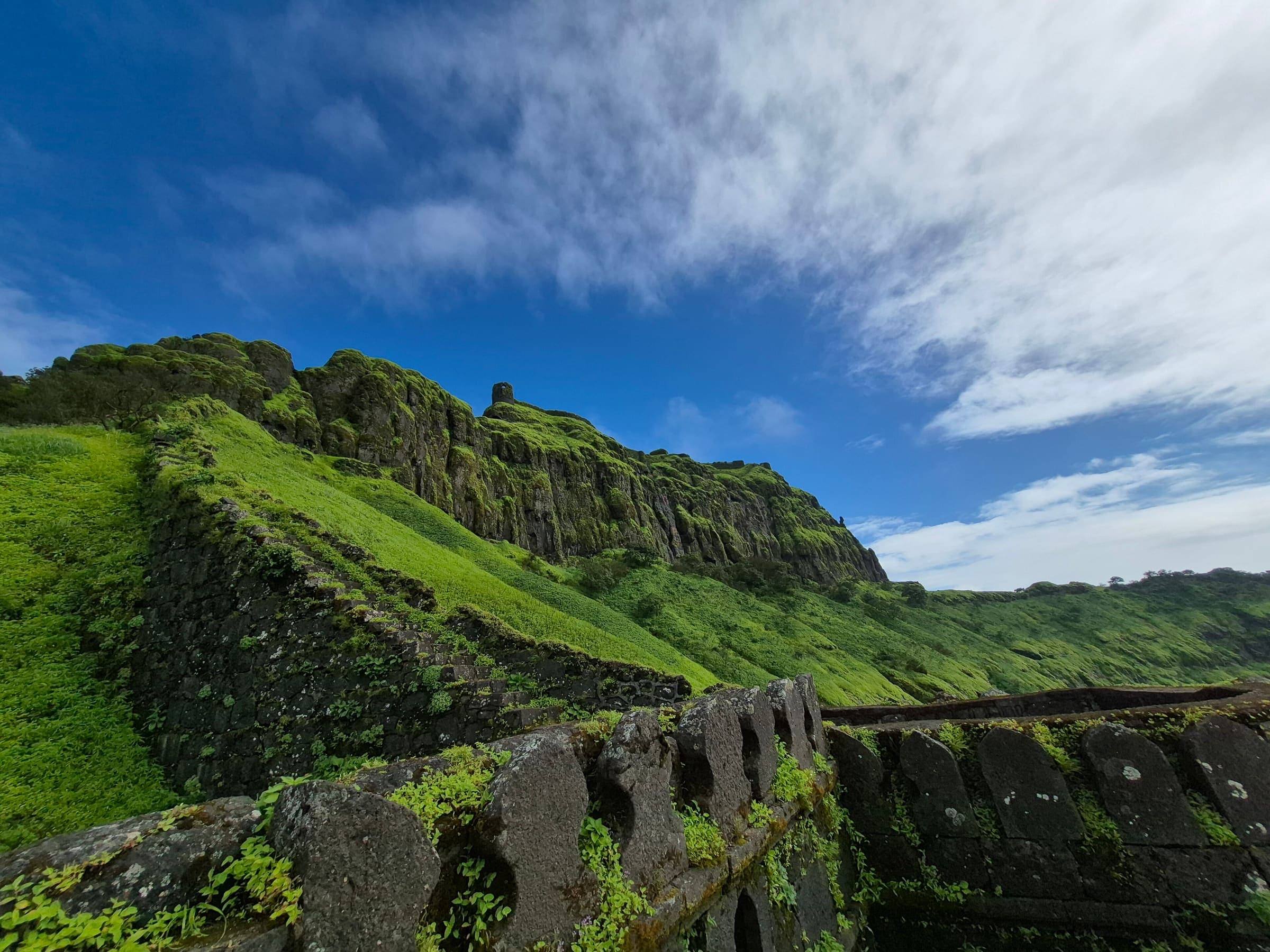
Mohangad Fort
OSM hiking route Mohangad Fort, Maharashtra (10.06 km line). Vertical figures from the GLO-30 resample. Days unknown.
Distance 10.06 km Reported · Ascent provisional (DEM sample) · High point provisional (DEM sample) · T2 · OSM route
Maharashtra
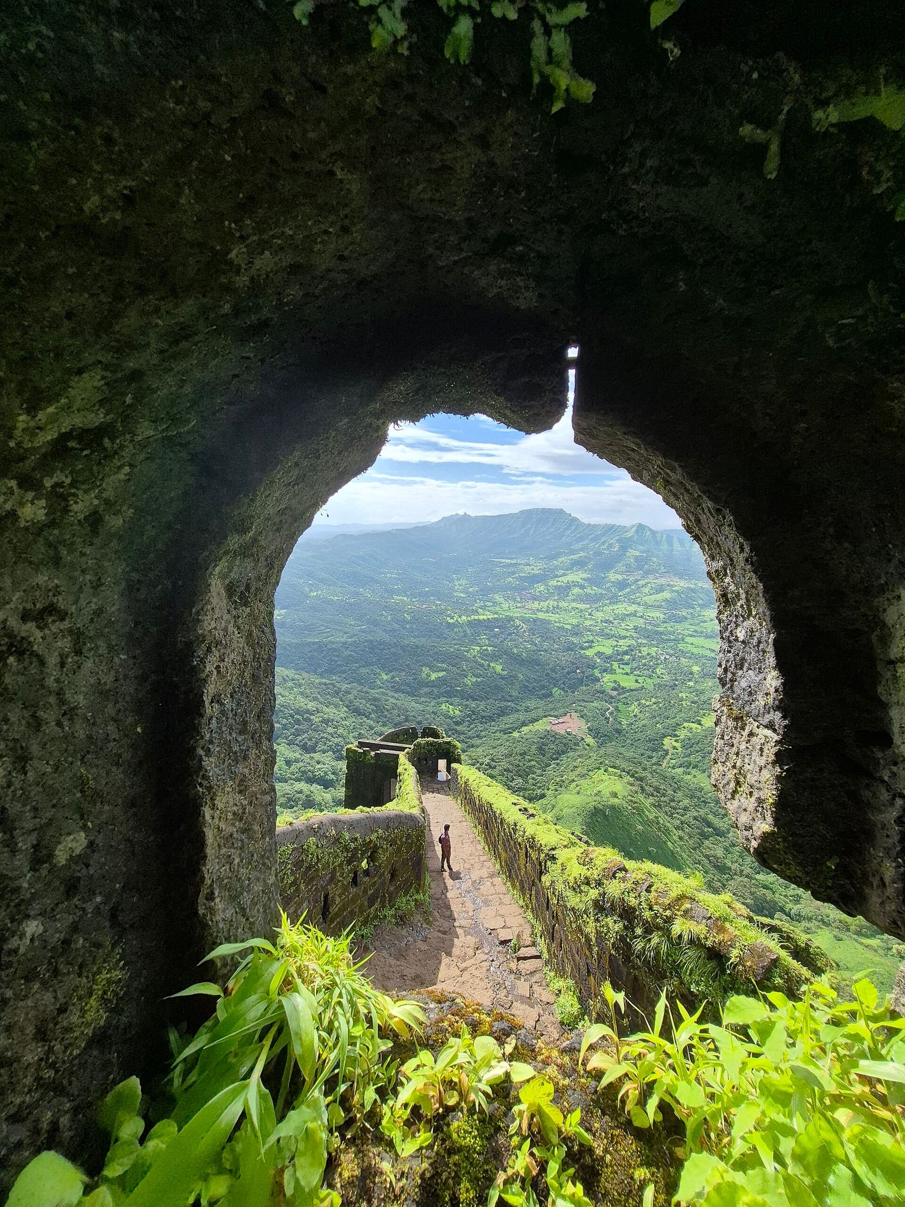
Mohangad Fort 2
OSM hiking route Mohangad Fort 2, Maharashtra (9.2 km line). Vertical figures from the GLO-30 resample. Days unknown.
Distance 9.2 km Reported · Ascent provisional (DEM sample) · High point provisional (DEM sample) · T2 · OSM route
Maharashtra
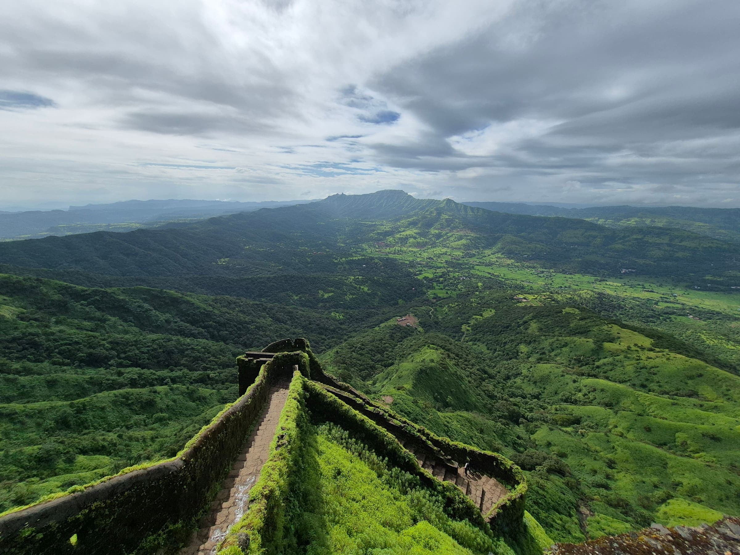
Morgiri fort
OSM hiking route Morgiri fort, Maharashtra (2.58 km line). out-and-back; one-way 2.58 km, round-trip 5.16 km in prose. Vertical figures from the GLO-30 resample. Days unknown.
Distance 2.58 km Reported · Ascent provisional (DEM sample) · High point provisional (DEM sample) · T2 · OSM route
High Atlas
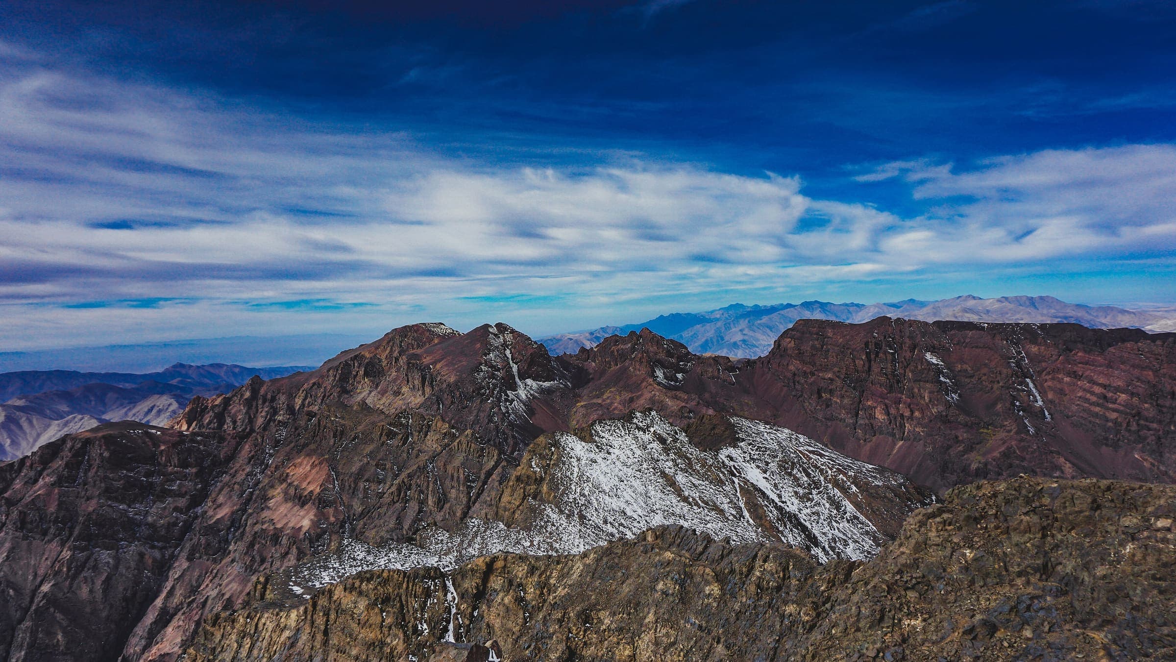
Mount Toubkal (Imlil)
OSM hiking route in the High Atlas, Morocco (11.9 km line), Imlil to Jebel Toubkal. Not the Toubkal Circuit. Vertical figures sampled from Copernicus GLO-30. typicalDays 2 is the published refuge itinerary (typical, not a statute).
Distance 11.9 km Reported · Ascent provisional (DEM sample) · High point provisional (DEM sample) · 2d · SAC T3
Ladakh
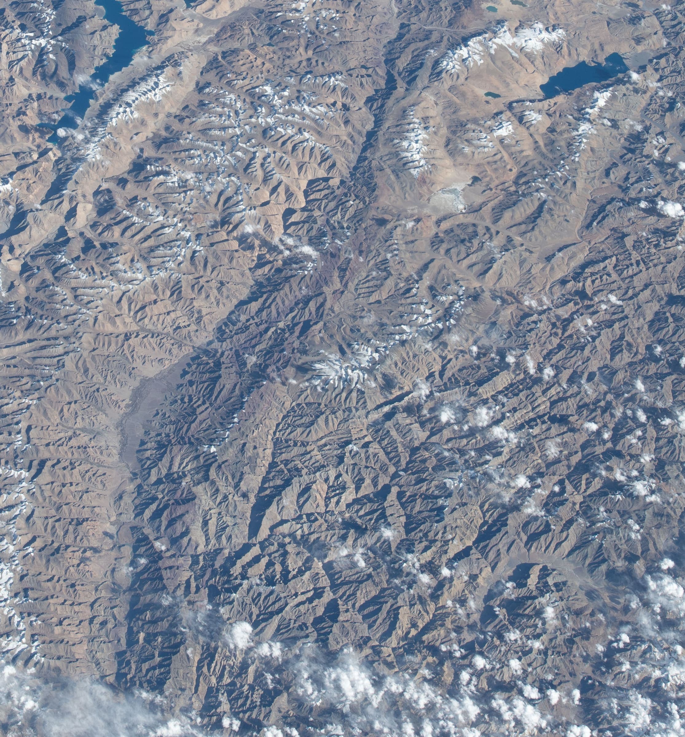
Likir La
OSM hiking route Likir La, Ladakh (30.75 km high-pass / high-ridge crossing NE of Likir; DEM crest 5,492 m). Single-way OSM line. Vertical figures from the GLO-30 resample. Days unknown.
Distance 30.75 km Reported · Ascent provisional (DEM sample) · High point provisional (DEM sample) · T2 · OSM route
Uttarakhand
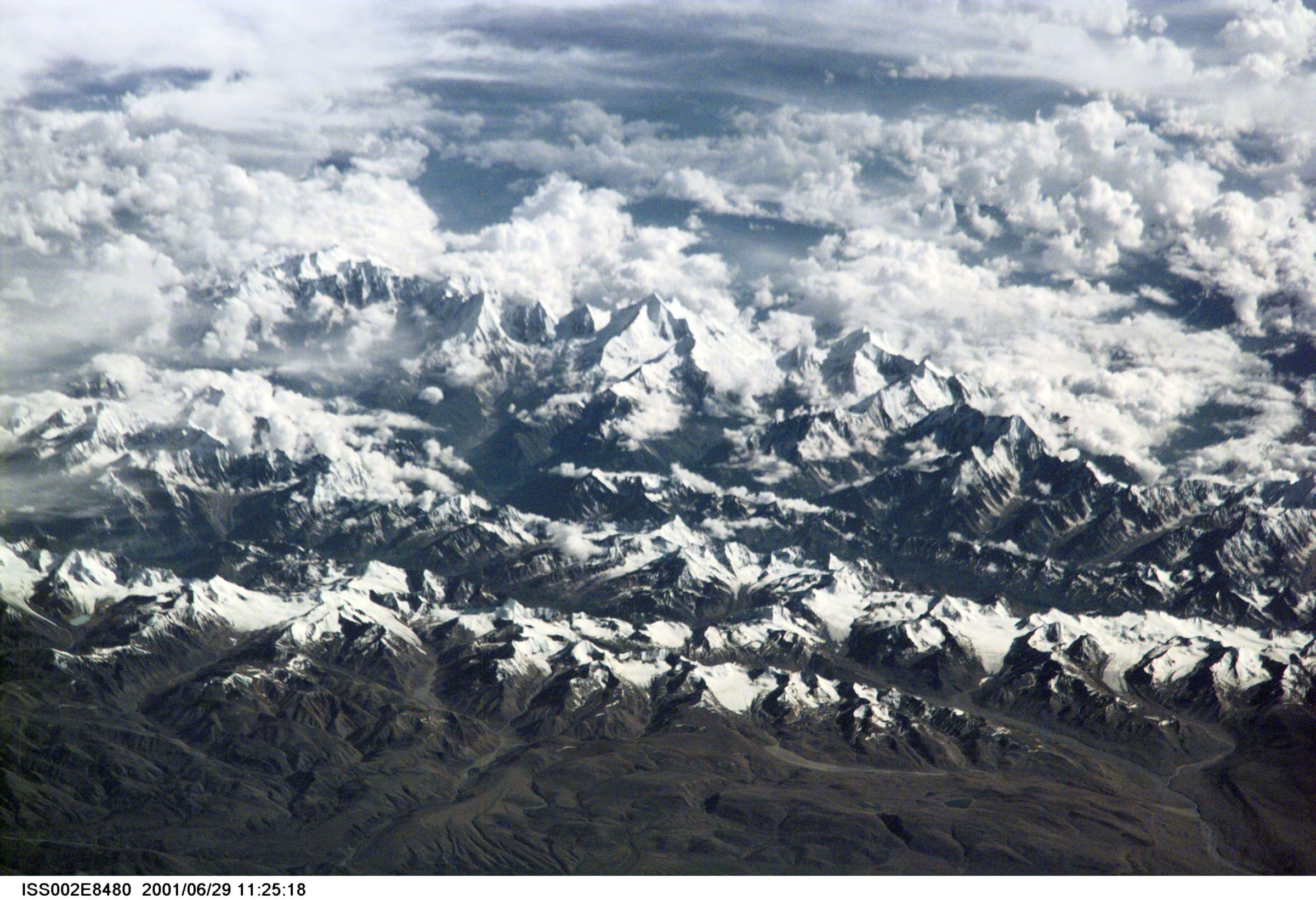
Mahargaon to Loharkhet
OSM hiking segment Mahargaon to Loharkhet, Uttarakhand (33.23 km line). Village-to-village path; no cited itinerary. Vertical figures from the GLO-30 resample. Days unknown.
Distance 33.23 km Reported · Ascent provisional (DEM sample) · High point provisional (DEM sample) · T2 · OSM route
Ladakh
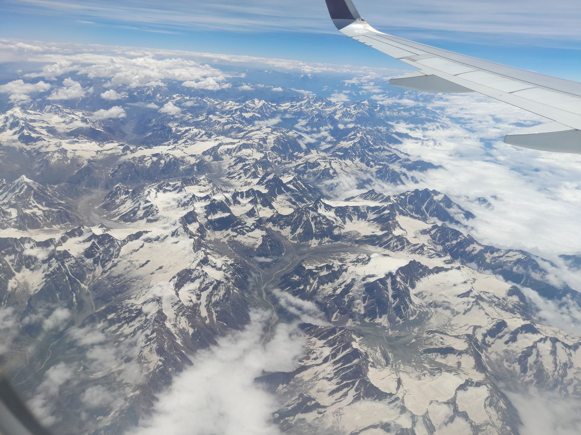
Markha Valley
OSM hiking route Markha Valley, Ladakh (64.52 km Zangla–Markha line), not the short Chilling–Skiu circuit. Hemis NP fee required. DEM high is the mapped line, not Kongmaru La. Vertical figures from the GLO-30 resample. Days unknown.
Distance 64.52 km Reported · High point provisional (DEM sample) · T2 · OSM route
Uttarakhand
Milam Glacier
OSM hiking route Lilam–Milam–Milam Glacier, Uttarakhand (51.5 km line), stitch of 11240060 + 15803504. Girthi Dobala 11278574 is an alternate, not measured. Vertical figures from the GLO-30 resample. Days unknown. Inner Line Permit (SDM Munsiyari).
Distance 51.5 km Reported · Ascent provisional (DEM sample) · High point provisional (DEM sample) · T1 · OSM route
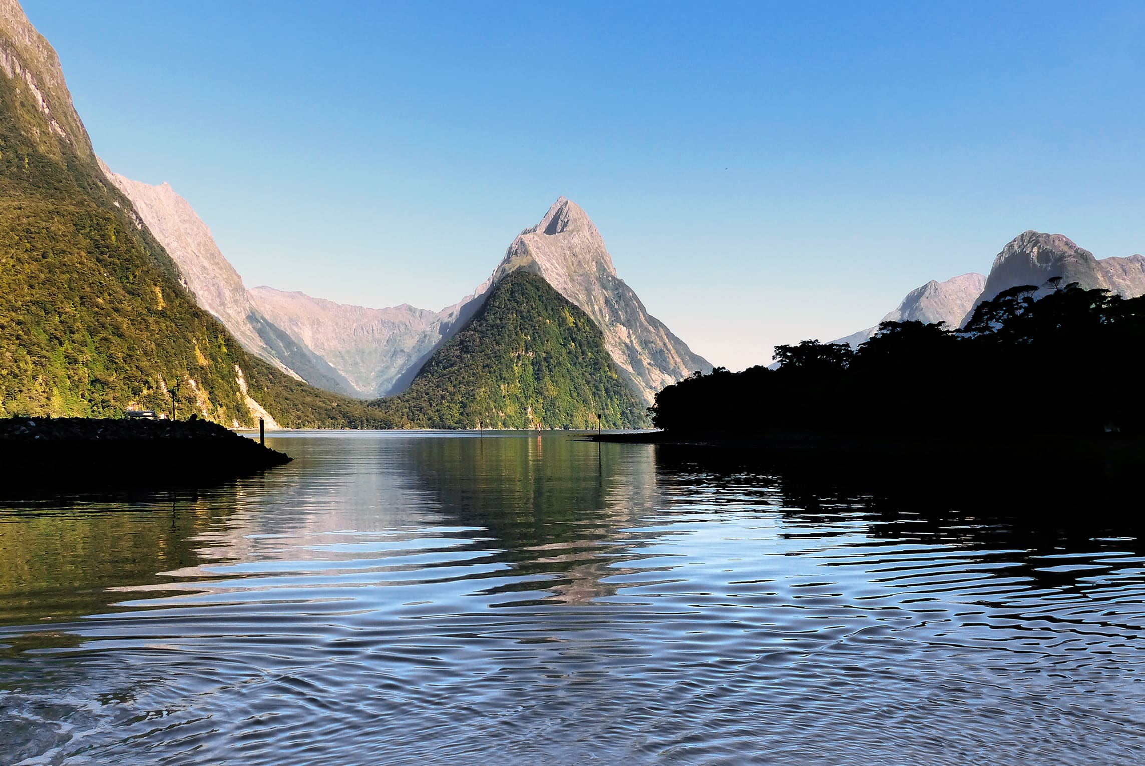
Fiordland
Milford Track
Milford Track, Fiordland, Glade Wharf to Sandfly Point. DOC trail length is 53.5 km (Milford Track Guide, brochure R214045). Reported OSM geometry is 53.6 km. Vertical figures sampled from Copernicus GLO-30.
Distance 53.5 km Verified · Ascent provisional (DEM sample) · High point provisional (DEM sample) · 4d · SAC T2
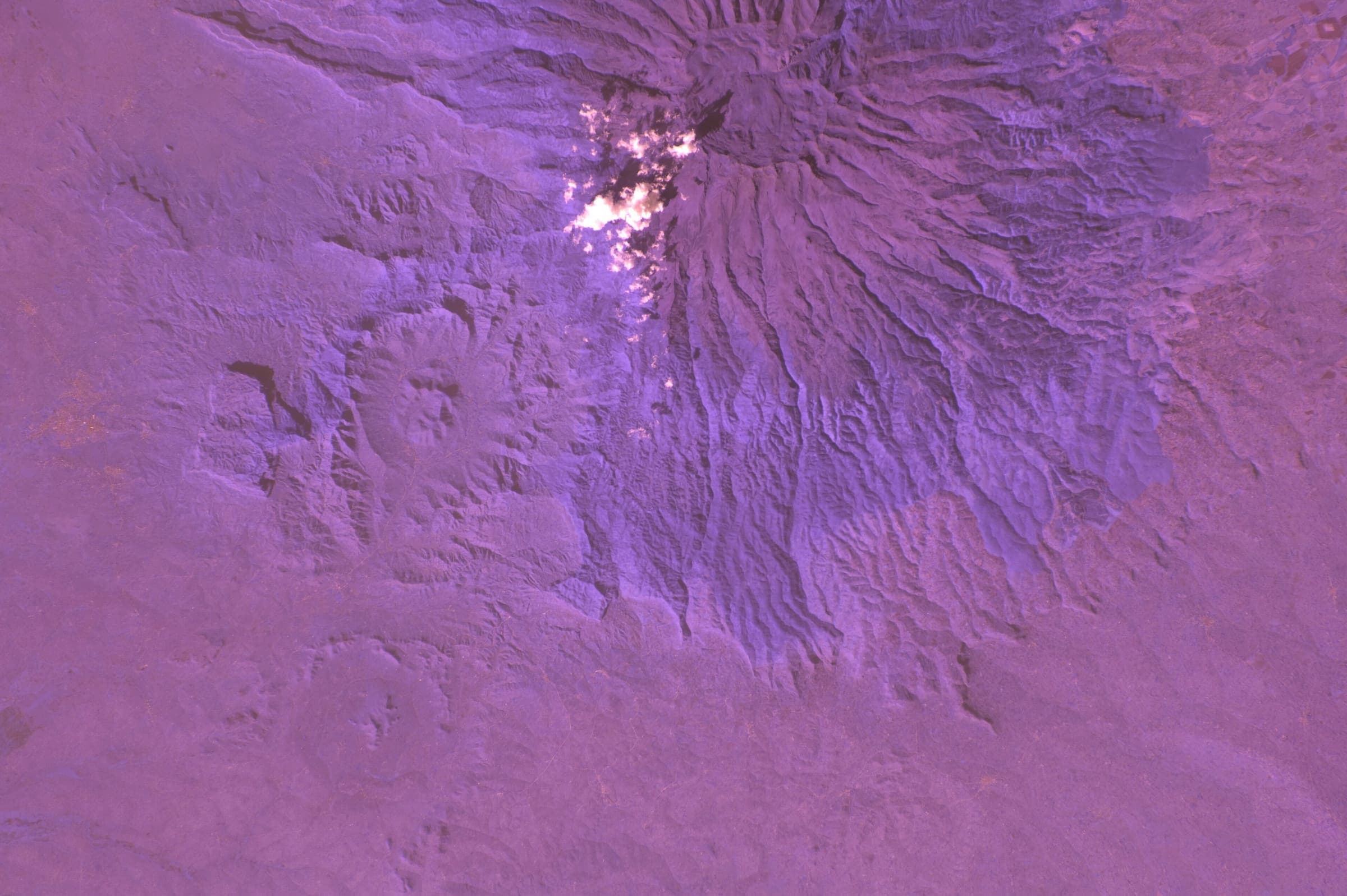
Mount Kenya
Mount Kenya (Sirimon–Chogoria)
Curated schematic — not walking distance. Pin-to-pin OSM named-waypoint line from Old Moses Camp over Point Lenana to Chogoria Gate, 26.6 km. Sirimon and Chogoria hiking relations were not stitched. Vertical figures are a GLO-30 sample of those pins, not a walking profile. typicalDays 6 is the published 5–6 day window (typical, not a statute).
Distance 26.6 km provisional (round figure) · High point provisional (DEM sample) · 6d · SAC T3
New South Wales
Mount Kosciuszko
Schematic Charlotte Pass to the summit pin. Not a GPS track. DEM high 2,222 m. Cited 2,228 m is a landmark. Day walk; no trail permit. Kosciuszko NP vehicle entry is separate.
Distance 6.54 km provisional (pin-to-pin derivation) · High point provisional (DEM sample) · T2 · schematic

Sierra Nevada
Mount Whitney
Schematic Whitney Portal to the summit. Not a GPS track. Cited round trip about 35 km is editorial. DEM high 4,399 m governs; 14,505 ft is a landmark.
Distance 35 km provisional (round figure) · High point provisional (DEM sample) · 1d · SAC T3

Peaks of the Balkans
Maja e Çikës (Llogara)
Schematic Llogara to Maja e Çikës. Not a GPS track. DEM high 2,020 m. Cited ~2,044 m and OSM 2,045 m are landmarks. Sea-to-summit is the setting, not a measured line.
Distance 3.59 km provisional (pin-to-pin derivation) · High point provisional (DEM sample) · 1d · SAC T3

Peaks of the Balkans
Maja Jezercë
Schematic Rragam to the Maja e Jezercës pin. Not a GPS track. DEM high 2,660 m governs. Cited and OSM 2,694 m are landmarks. Return is not doubled.
Distance 4.06 km provisional (pin-to-pin derivation) · High point provisional (DEM sample) · 1d · SAC T4

Peaks of the Balkans
Mount Korab
Schematic Radomirë to the Golem Korab summit pin. Not a GPS track. DEM high 2,706 m. Cited 2,764 m (node 2590602216) is a landmark. Albania / North Macedonia border; not a reject for leaving Albania.
Distance 5.85 km provisional (pin-to-pin derivation) · High point provisional (DEM sample) · 1d · SAC T4

Peaks of the Balkans
Mount Tomorr
Schematic Tomorr village to the peak pin. Not a GPS track. DEM high 2,388 m. Cited 2,416 m is a landmark.
Distance 8.26 km provisional (pin-to-pin derivation) · High point provisional (DEM sample) · T3 · schematic
Gilgit-Baltistan
Naltar Valley
Schematic Naltar hotel stand-in to Naltar Pass. The named lakes were not in OSM. DEM high 4,665 m is the pass and may sit above a lake walk. Not a GPS track.
Distance 22.07 km provisional (pin-to-pin derivation) · High point provisional (DEM sample) · 1d · SAC T3