
Trail records
Filter by country, access, region, distance, days, and SAC. Every card is a sourced record, not a crowd-drawn track dump. A–Z directory
Filters
36 of 36 · 36 edited records shown
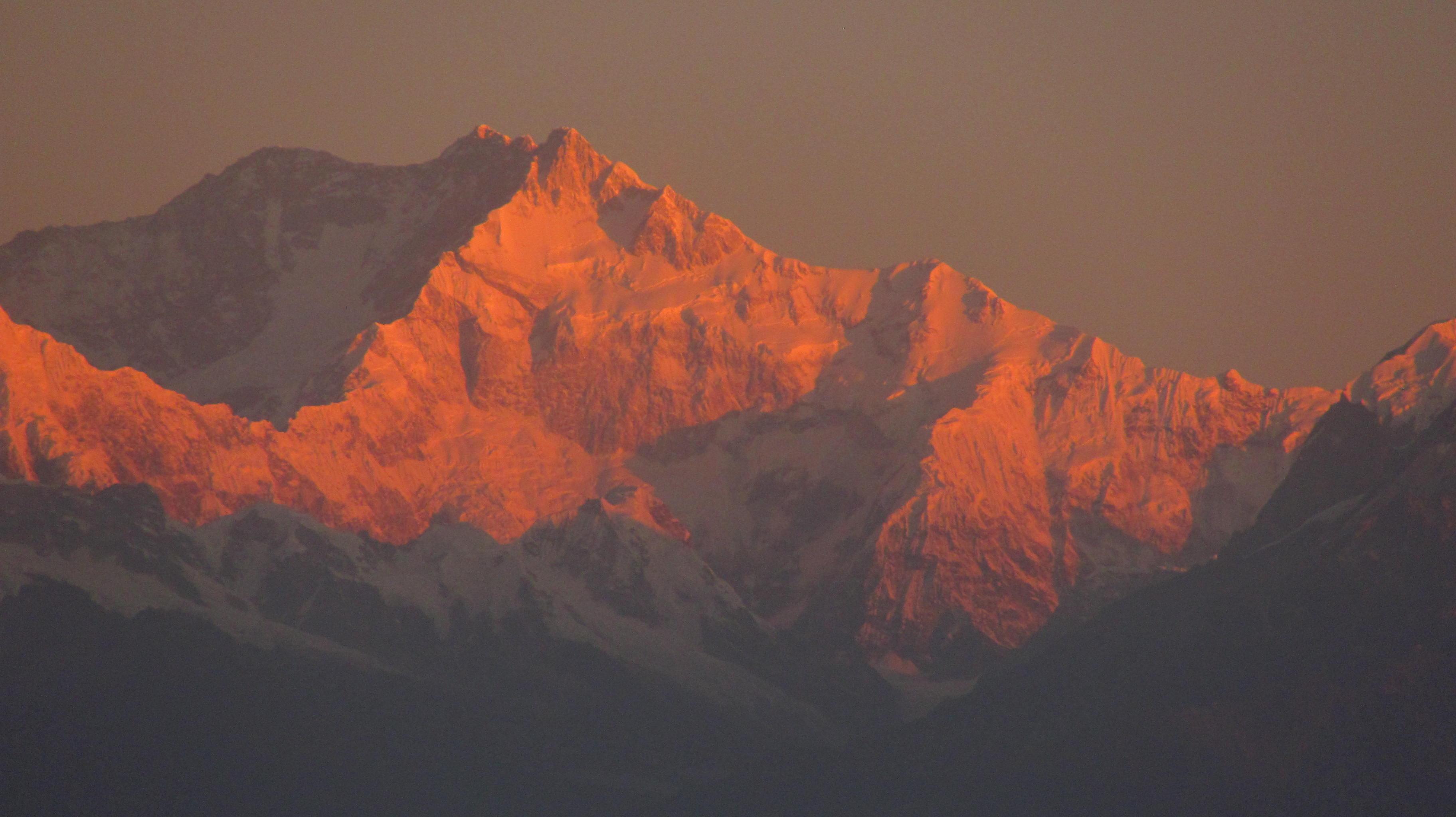
Kanchenjunga
Kangchenjunga Base Camp
OSM hiking route Kangchenjunga Base Camp, Nepal (100.18 km line). out-and-back; one-way 100.18 km, round-trip 200.36 km in prose. Permits are the headline (official NTB/NTNC 2026-09-21). Vertical figures from the Wave N GLO-30 resample.
Distance 100.18 km Reported · Ascent provisional (DEM sample) · High point provisional (DEM sample) · 20d · SAC T3
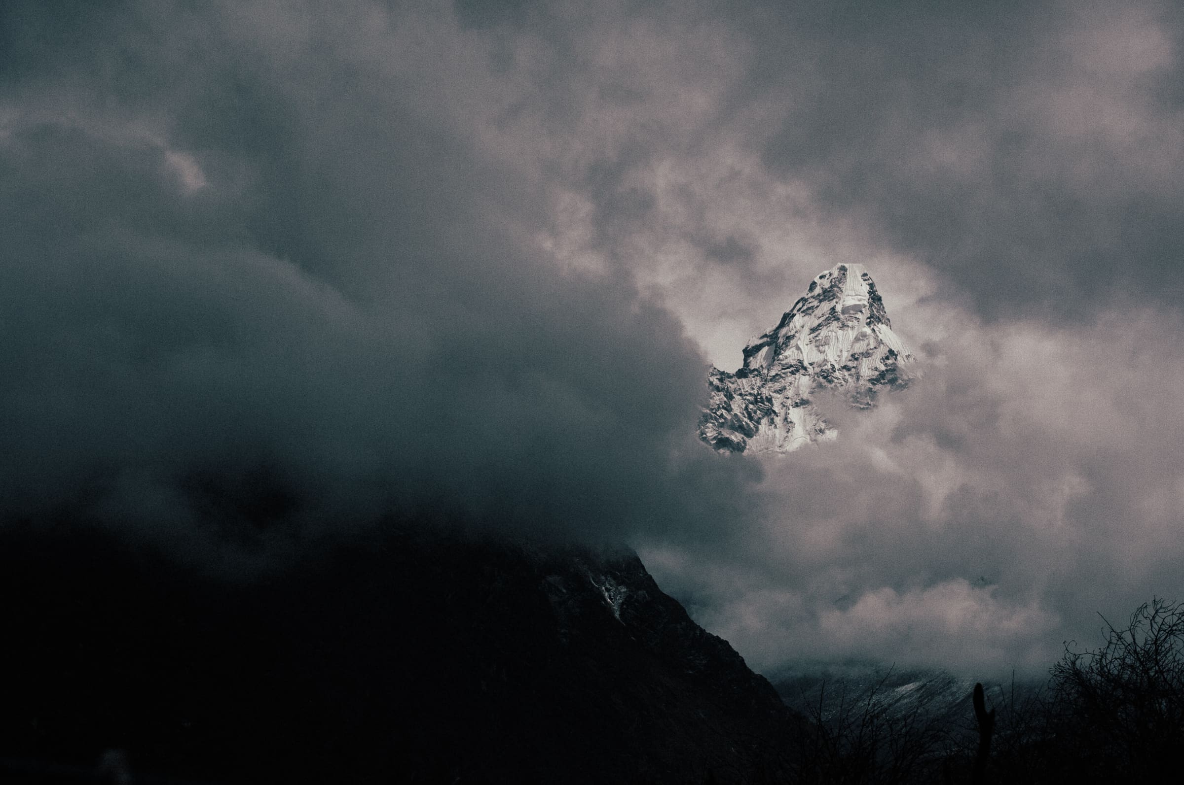
Annapurna
Kapuche Glacier Lake
OSM hiking route in the Annapurna region (10.5 km line). Vertical figures sampled from Copernicus GLO-30.
Distance 10.5 km Reported · Ascent provisional (DEM sample) · High point provisional (DEM sample) · T2 · OSM route
Fiordland
Kepler Track
OSM hiking route in Fiordland, New Zealand (61.6 km loop). Vertical figures sampled from Copernicus GLO-30.
Distance 61.6 km Reported · High point provisional (DEM sample) · 4d · SAC T2
Langtang
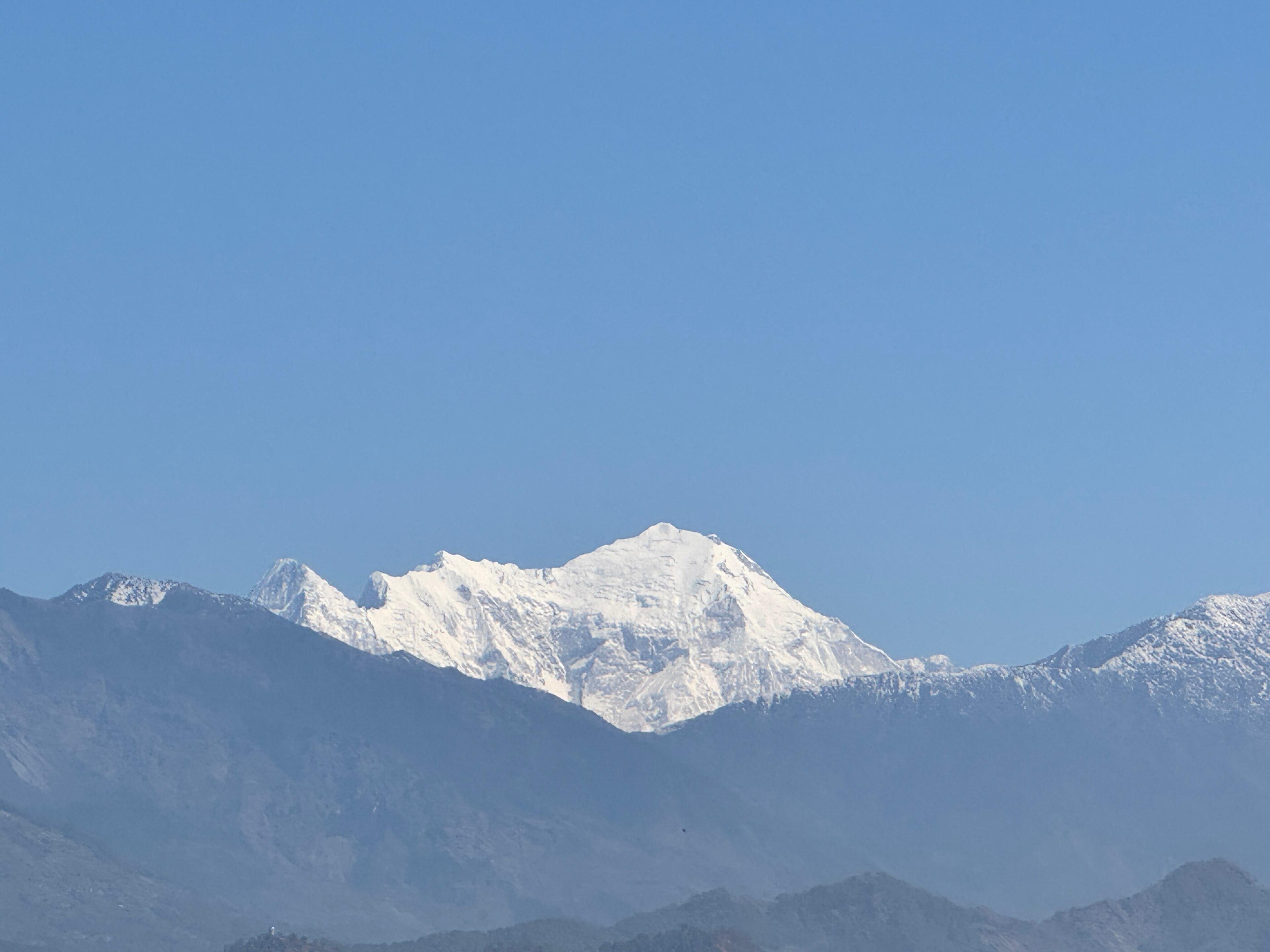
Langtang Valley
OSM hiking route Langtang Valley, Nepal (30.97 km line). out-and-back; one-way 30.97 km, round-trip 61.95 km in prose. Permits are the headline (official NTB/NTNC 2026-09-21). Vertical figures from the Wave N GLO-30 resample.
Distance 30.97 km Reported · Ascent provisional (DEM sample) · High point provisional (DEM sample) · 8d · SAC T2
Niederösterreich
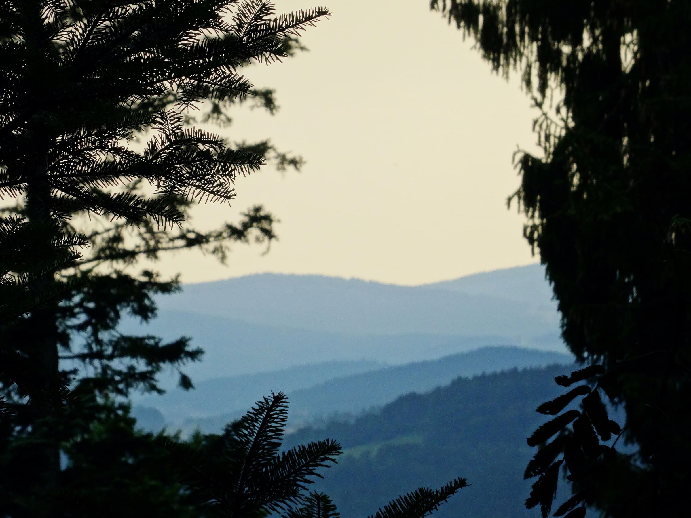
Kamptalseenweg 620
Reported OSM relation: Kamptalseenweg 620, Rosenburg to Nebelstein, 98.6 km OSM 2-D. Vertical figures sampled from Copernicus GLO-30.
Distance 98.6 km Reported · High point provisional (DEM sample) · T2 · OSM route
Schaffhausen
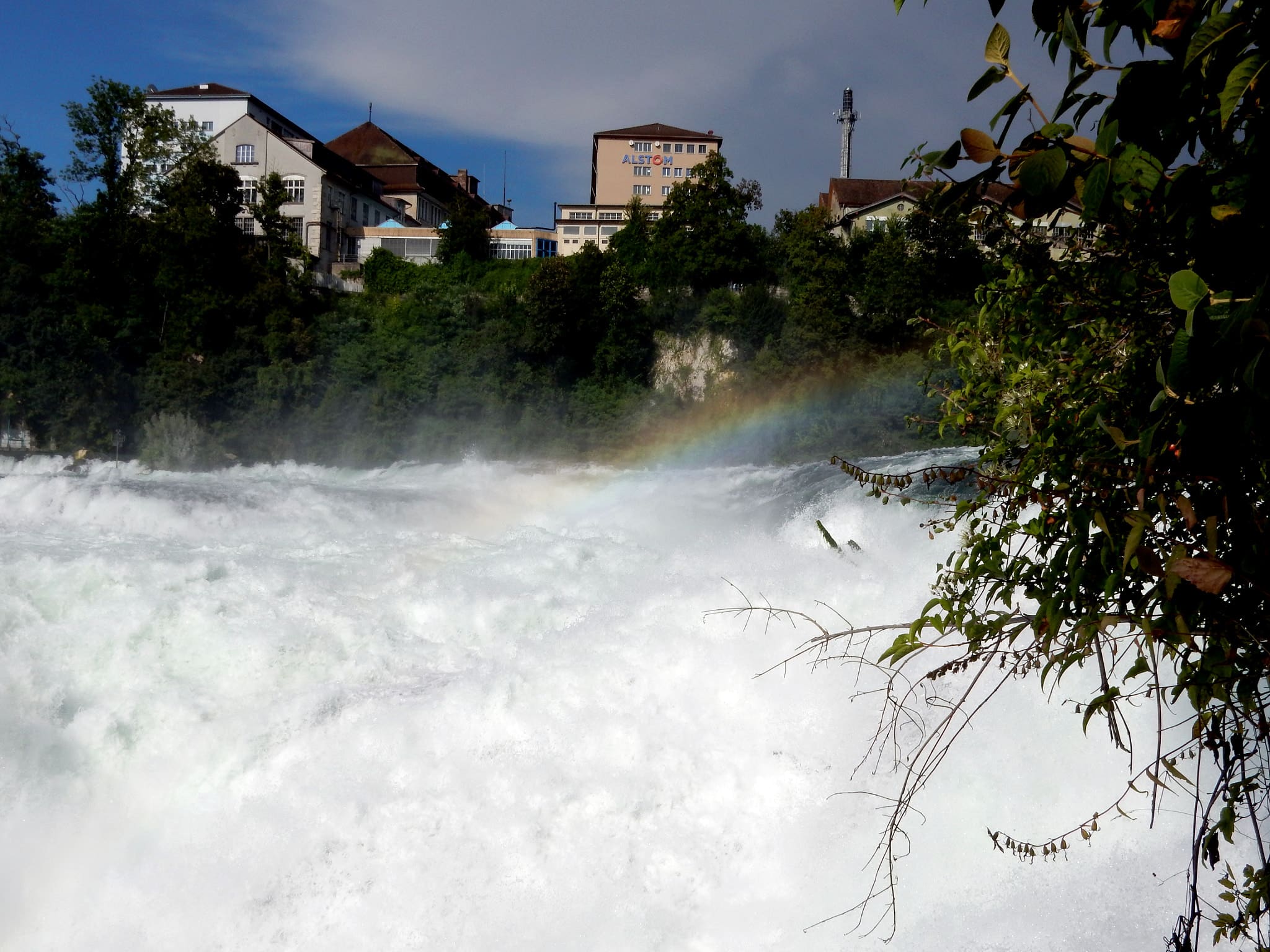
Klettgau-Rhein-Weg
Hallau to Schaffhausen on SchweizMobil route 34. Published 46 km / 2 stages (https://www.myswitzerland.com/en/experiences/route/klettgau-rhein-weg/, checked 2026-11-14). Mapped line 45.4 km OSM 2-D.
Distance 46 km Reported read 2026-11-14 · Mapped line 45.4 km (OpenStreetMap geometry), Reported · Ascent provisional (DEM sample) · High point provisional (DEM sample) · 2d · SAC T2
Appenzell
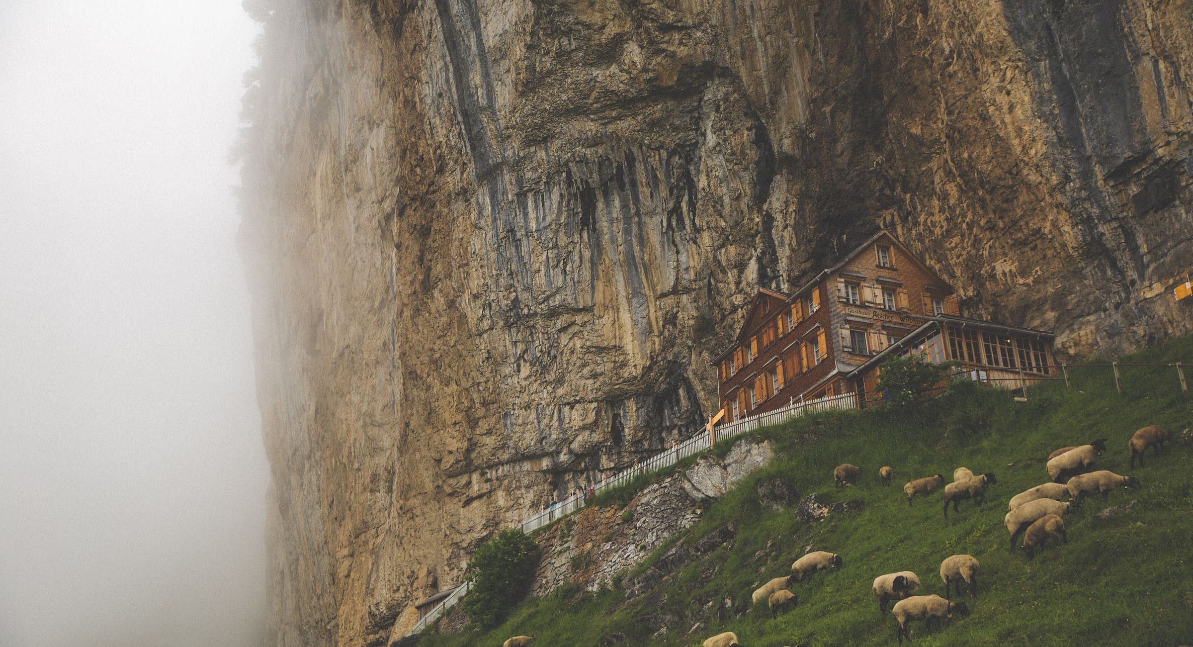
Kulturspur Appenzellerland
Reported OSM relation: SchweizMobil regional hiking route 22, Kulturspur Appenzellerland, Urnäsch to Walzenhausen, 70.4 km OSM 2-D. Vertical figures sampled from Copernicus GLO-30.
Distance 70.4 km Reported · High point provisional (DEM sample) · T2 · OSM route
Maharashtra
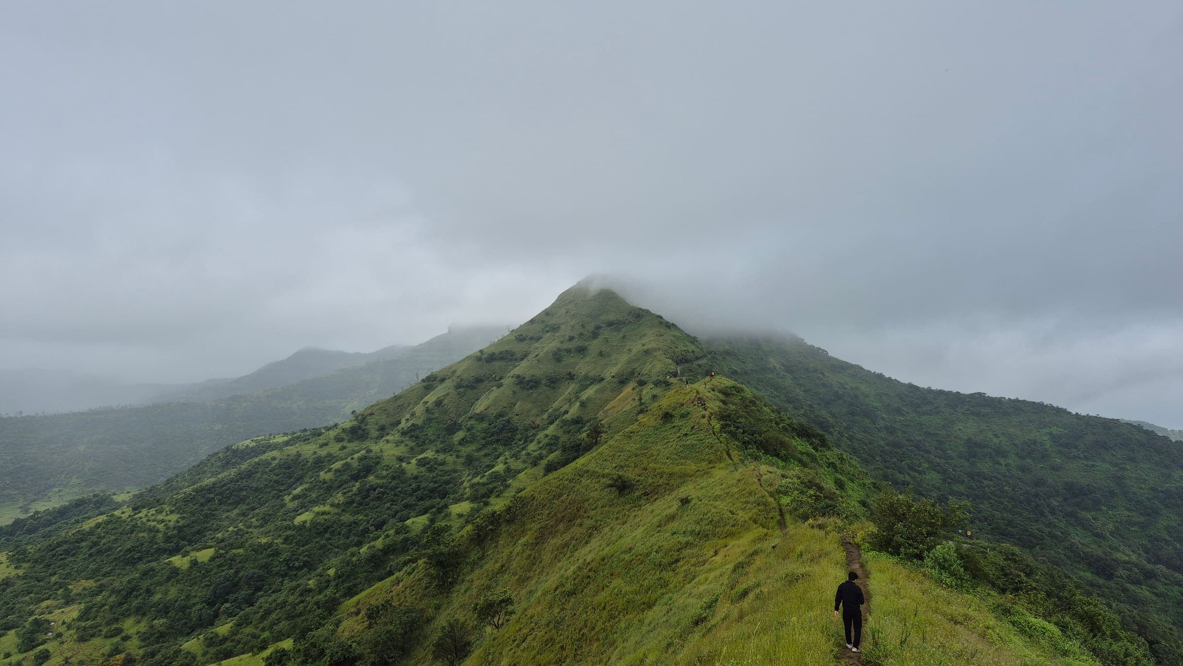
Kanchan Fort
OSM hiking route Kanchan Fort, Maharashtra (5.96 km line). Vertical figures from the GLO-30 resample. Days unknown.
Distance 5.96 km Reported · Ascent provisional (DEM sample) · High point provisional (DEM sample) · T2 · OSM route
Maharashtra
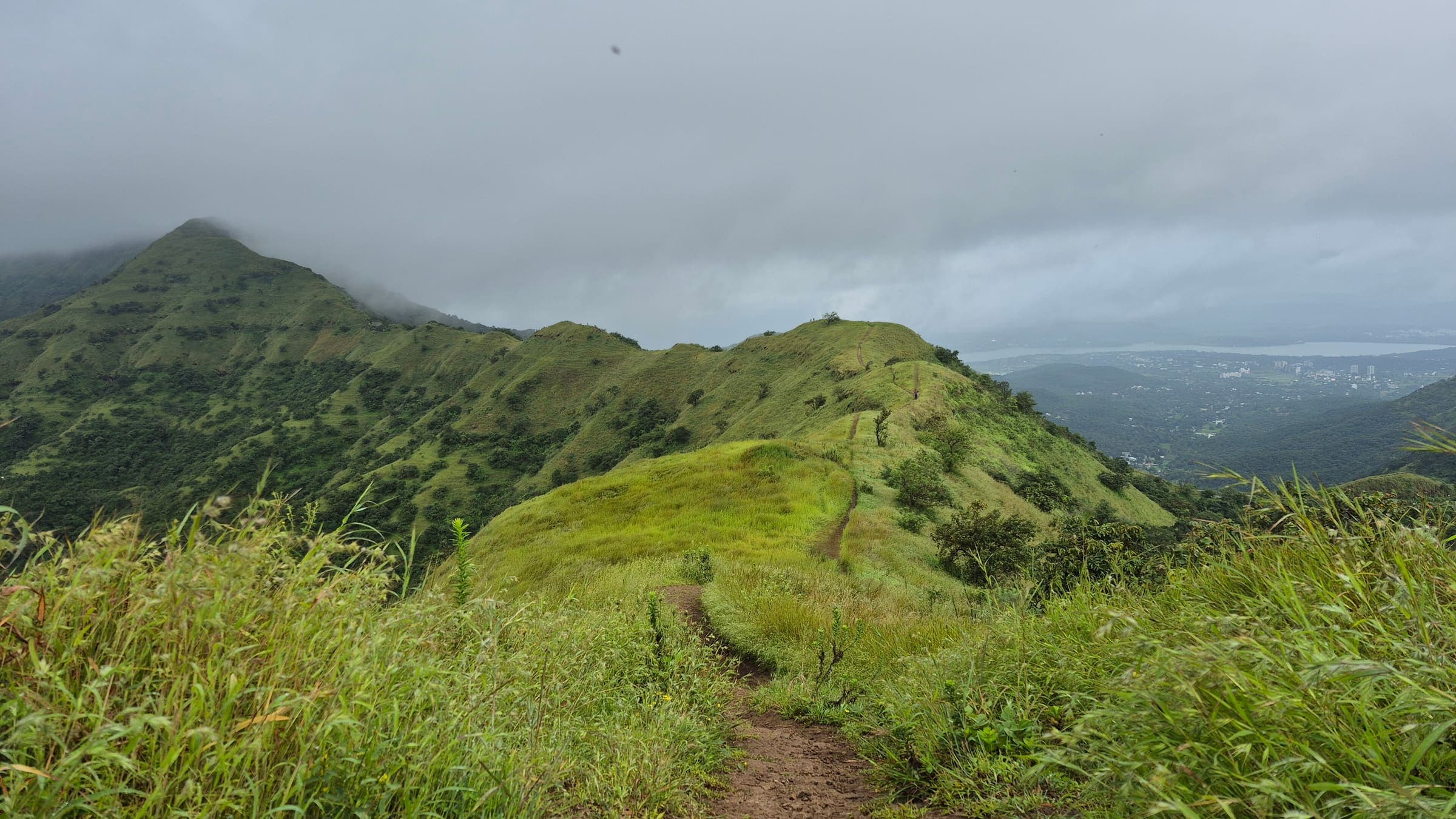
Kanhergad Fort
OSM hiking route Kanhergad Fort, Maharashtra (1.62 km line). out-and-back; one-way 1.62 km, round-trip 3.24 km in prose. Vertical figures from the GLO-30 resample. Days unknown.
Distance 1.62 km Reported · Ascent provisional (DEM sample) · High point provisional (DEM sample) · T2 · OSM route
Maharashtra
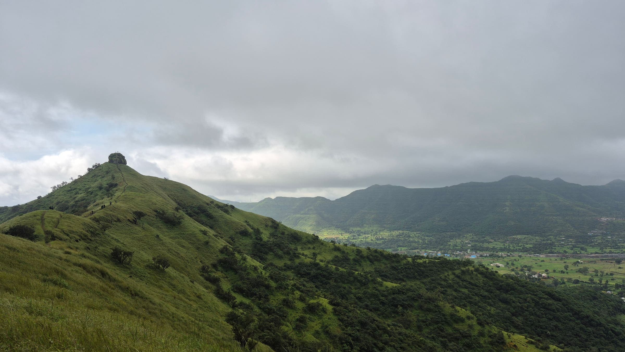
Kankarala Fort
OSM hiking route Kankarala Fort, Maharashtra (1.85 km line). out-and-back; one-way 1.85 km, round-trip 3.7 km in prose. Vertical figures from the GLO-30 resample. Days unknown.
Distance 1.85 km Reported · Ascent provisional (DEM sample) · High point provisional (DEM sample) · T2 · OSM route
Maharashtra
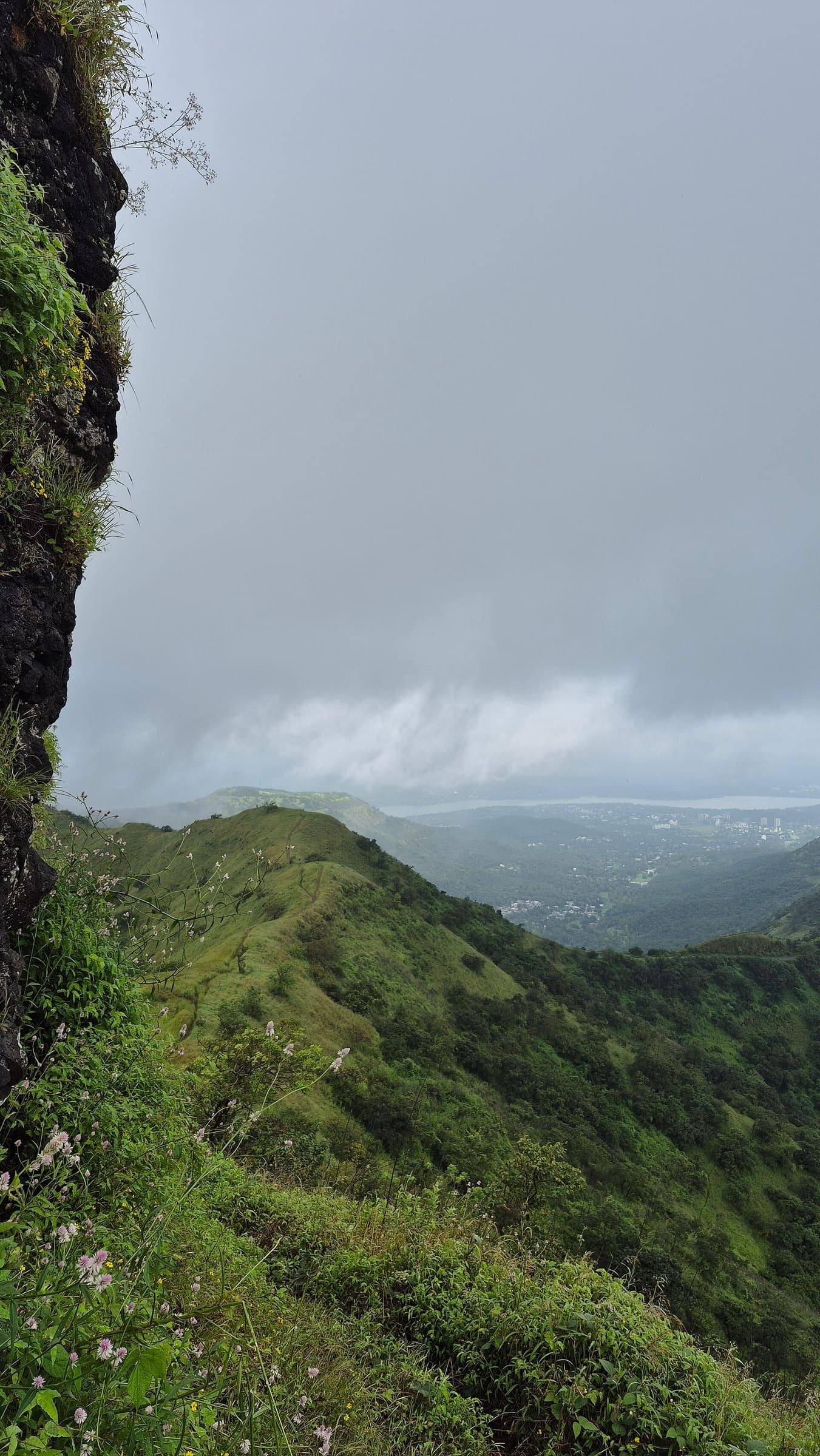
Katraj to Sinhagad
OSM hiking route Katraj to Sinhagad, Maharashtra (13.58 km line). connector traverse. Vertical figures from the GLO-30 resample. Days unknown.
Distance 13.58 km Reported · Ascent provisional (DEM sample) · High point provisional (DEM sample) · T2 · OSM route
Maharashtra
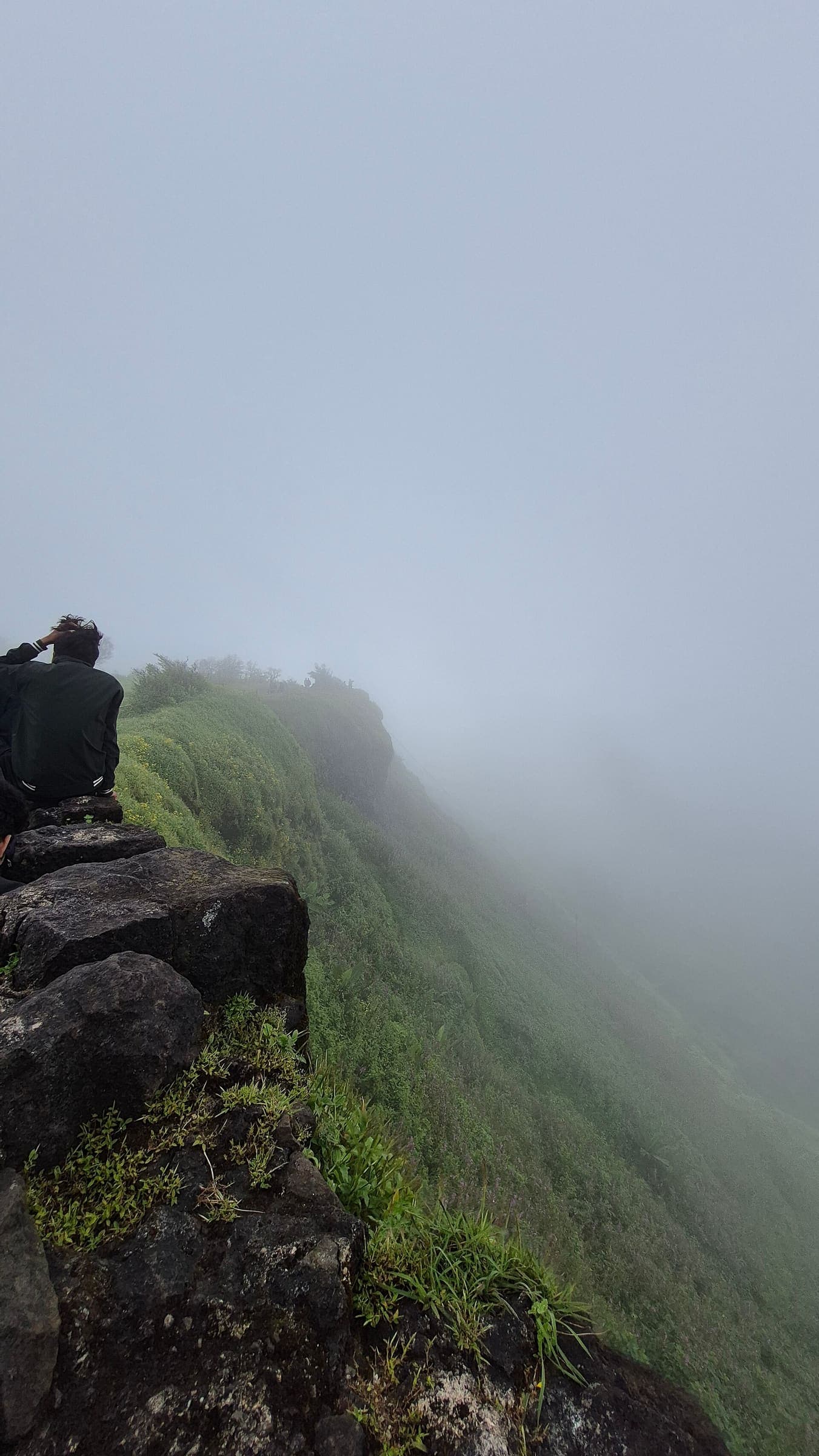
Kavlya Fort
OSM hiking route Kavlya Fort, Maharashtra (2.22 km line). out-and-back; one-way 2.22 km, round-trip 4.44 km in prose. Vertical figures from the GLO-30 resample. Days unknown.
Distance 2.22 km Reported · Ascent provisional (DEM sample) · High point provisional (DEM sample) · T2 · OSM route
County Kerry
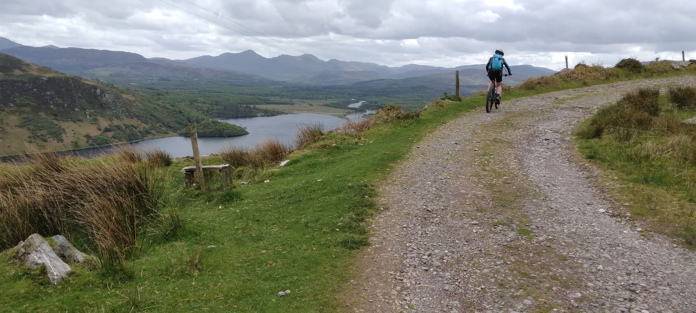
Kerry Way
Killarney loop on the Iveragh Peninsula. Published 215 km in 9 sections (https://www.kerryway.ie/, checked 2026-11-10). The stored OpenStreetMap line is an incomplete ~184.6 km mapped line.
Distance 215 km Reported read 2026-11-10 · Mapped line 184.6 km (OpenStreetMap geometry), Reported · High point provisional (DEM sample) · 9d · SAC T1
Maharashtra
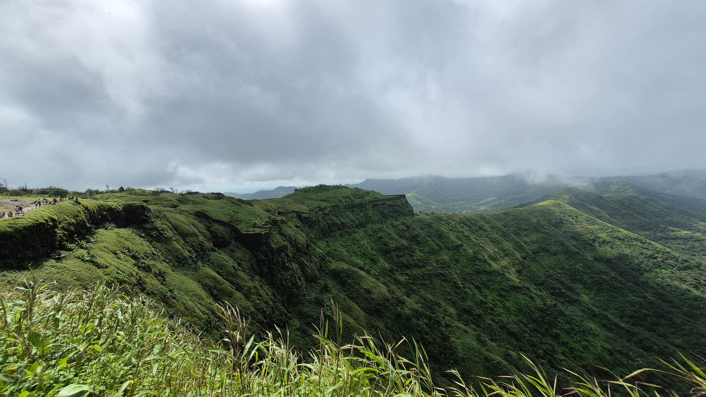
Kohoj Fort
OSM hiking route Kohoj Fort, Maharashtra (3.12 km line). out-and-back; one-way 3.12 km, round-trip 6.24 km in prose. Vertical figures from the GLO-30 resample. Days unknown.
Distance 3.12 km Reported · Ascent provisional (DEM sample) · High point provisional (DEM sample) · T2 · OSM route
Deccan Plateau (Telangana)
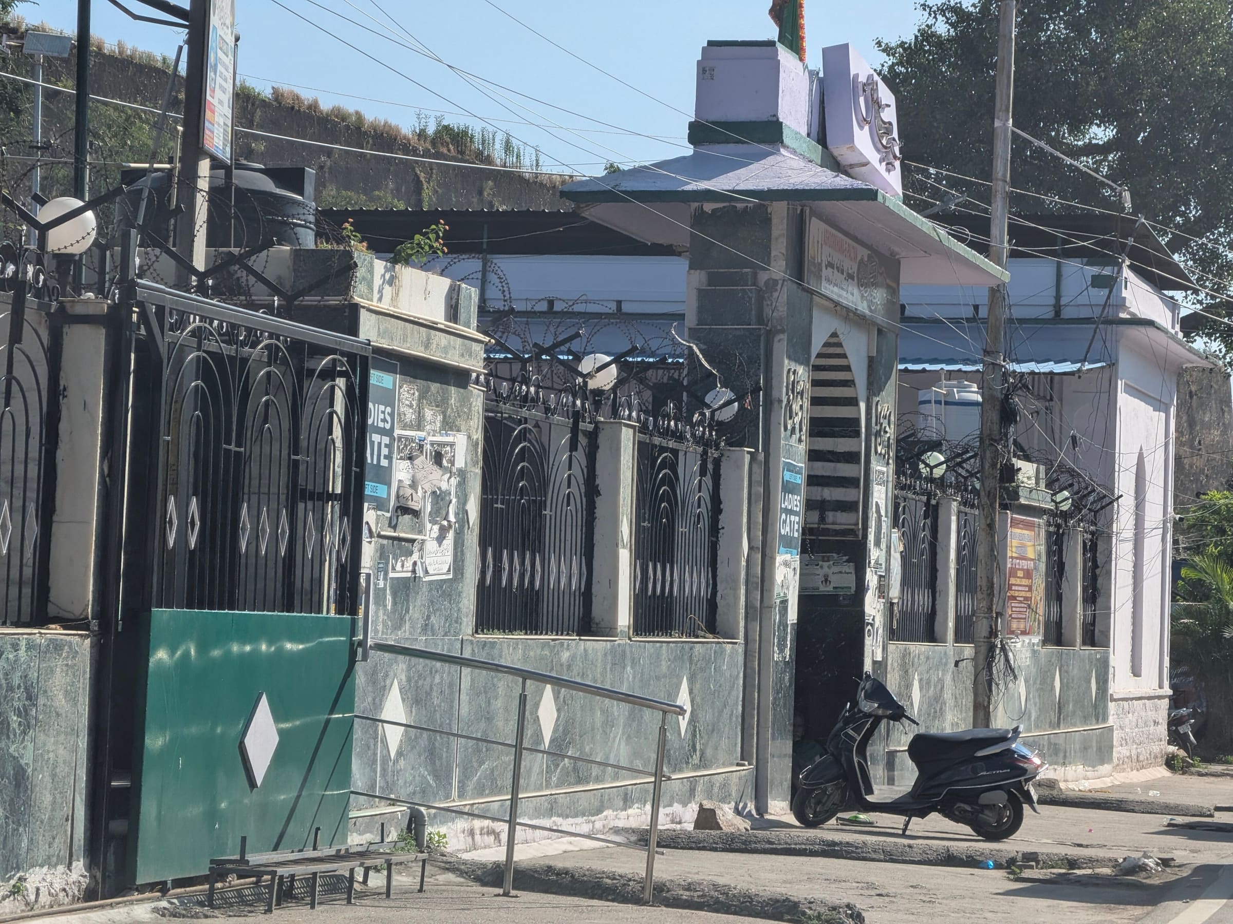
Koilkonda Fort
Qutb Shahi hill fort above Koilkonda, Mahabubnagar district. The mapped pin is the village / Wikipedia coordinate; the fort sits on a nearby hilltop that OSM does not separately name. Days (1) is a day-trek stamp.
Ascent provisional (DEM sample) · High point provisional (DEM sample) · 1d · SAC T2
Kii Peninsula
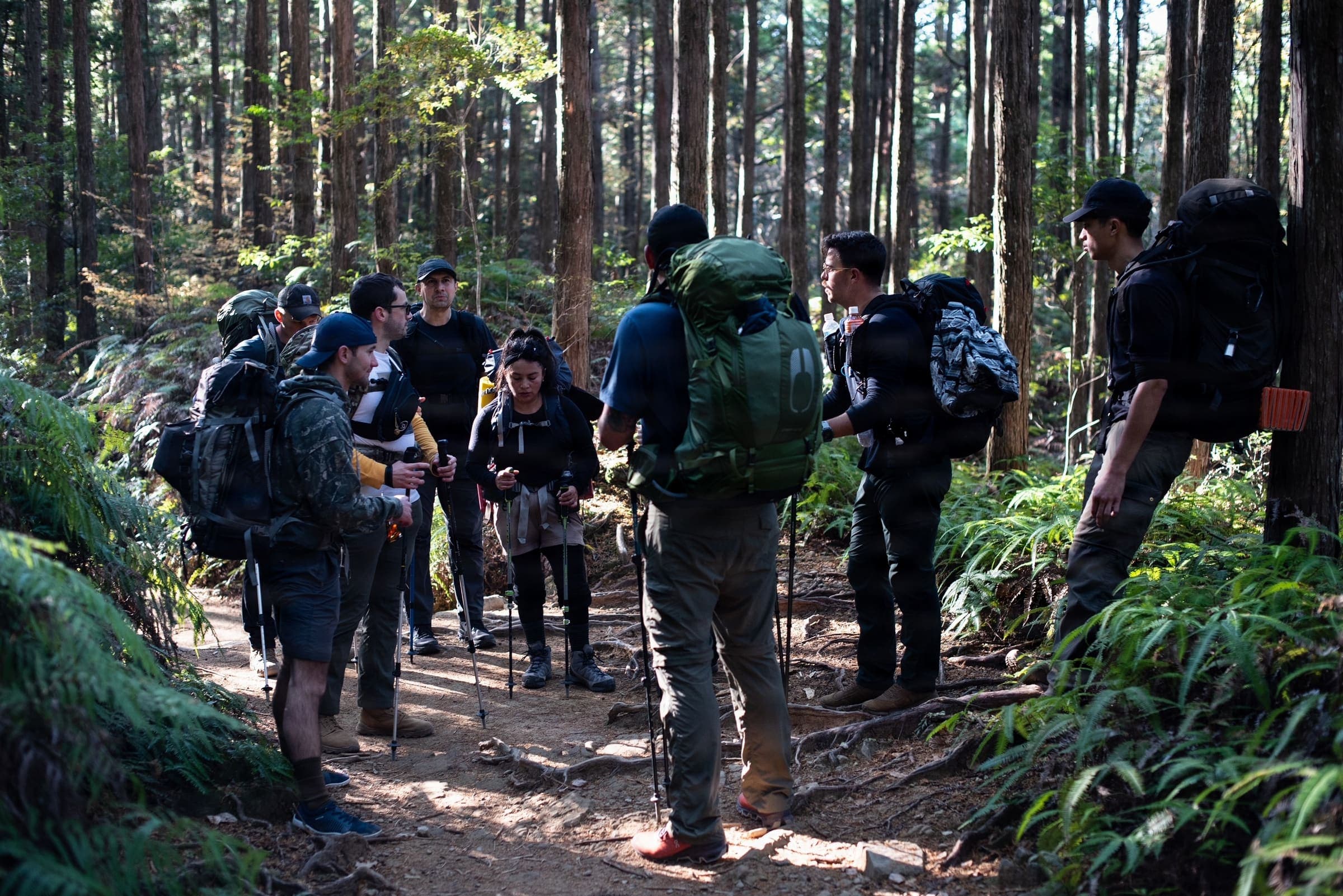
Kumano Kodo — Nakahechi (Takijiri to Hongū)
Takijiri→Hongū section of the Nakahechi on the Kii Peninsula, Japan (35.9 km OSM line). Not the full Takijiri→Nachi walk and not the wider Kumano network. Vertical figures sampled from Copernicus GLO-30. typicalDays 4 is the published typical for this Takijiri–Hongū segment (Tanabe grade-4 days); the 4–6 day window includes the Nachi continuation.
Distance 35.9 km Reported · Ascent provisional (DEM sample) · High point provisional (DEM sample) · 4d · SAC T2
Himachal Pradesh
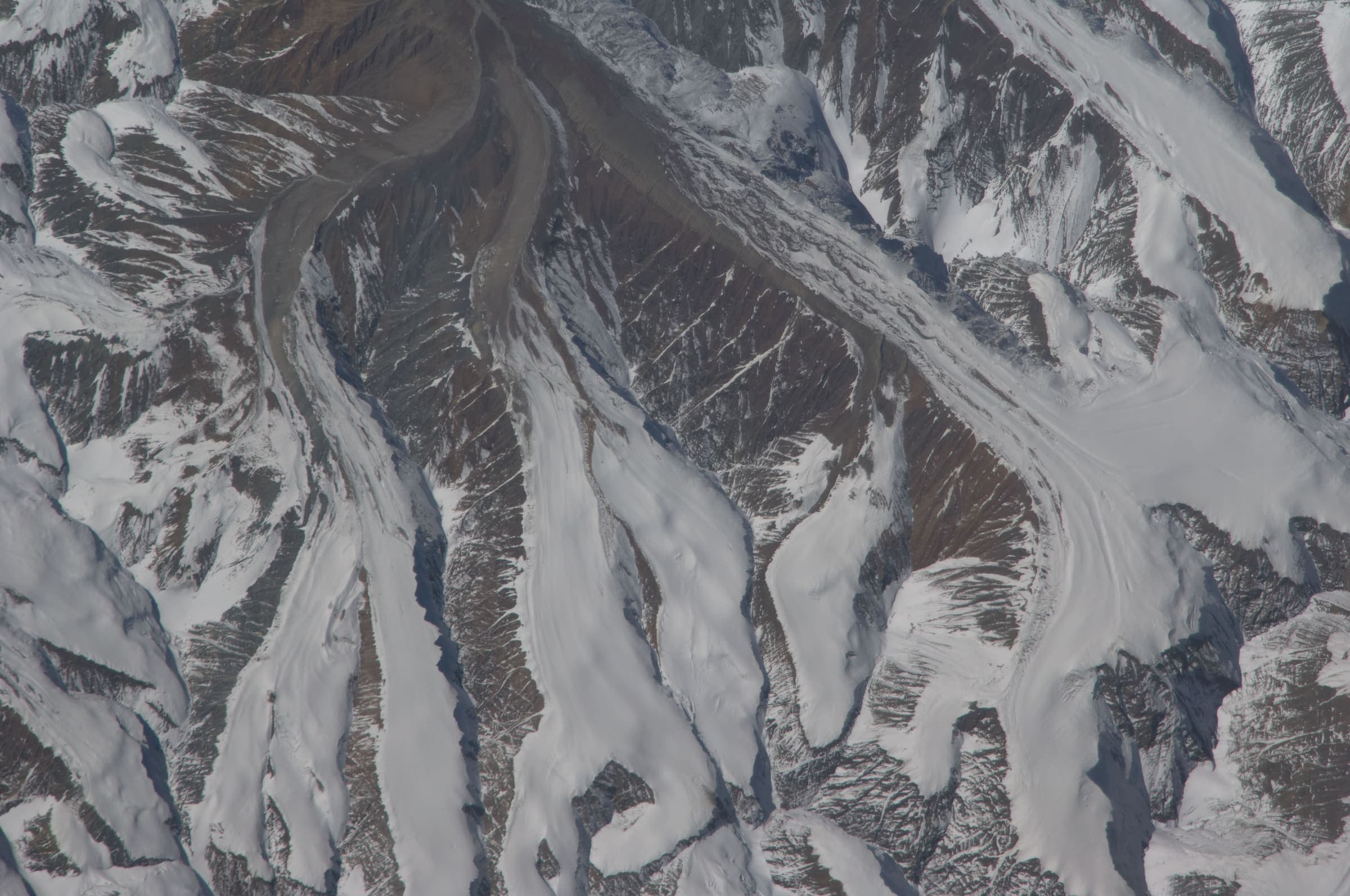
Kang La Trail
OSM hiking traverse Kang La Trail, Himachal Pradesh (78.21 km line). Village-to-village / pass path; no cited itinerary. Vertical figures from the GLO-30 resample. Days unknown.
Distance 78.21 km Reported · High point provisional (DEM sample) · T5 · OSM route
Ladakh
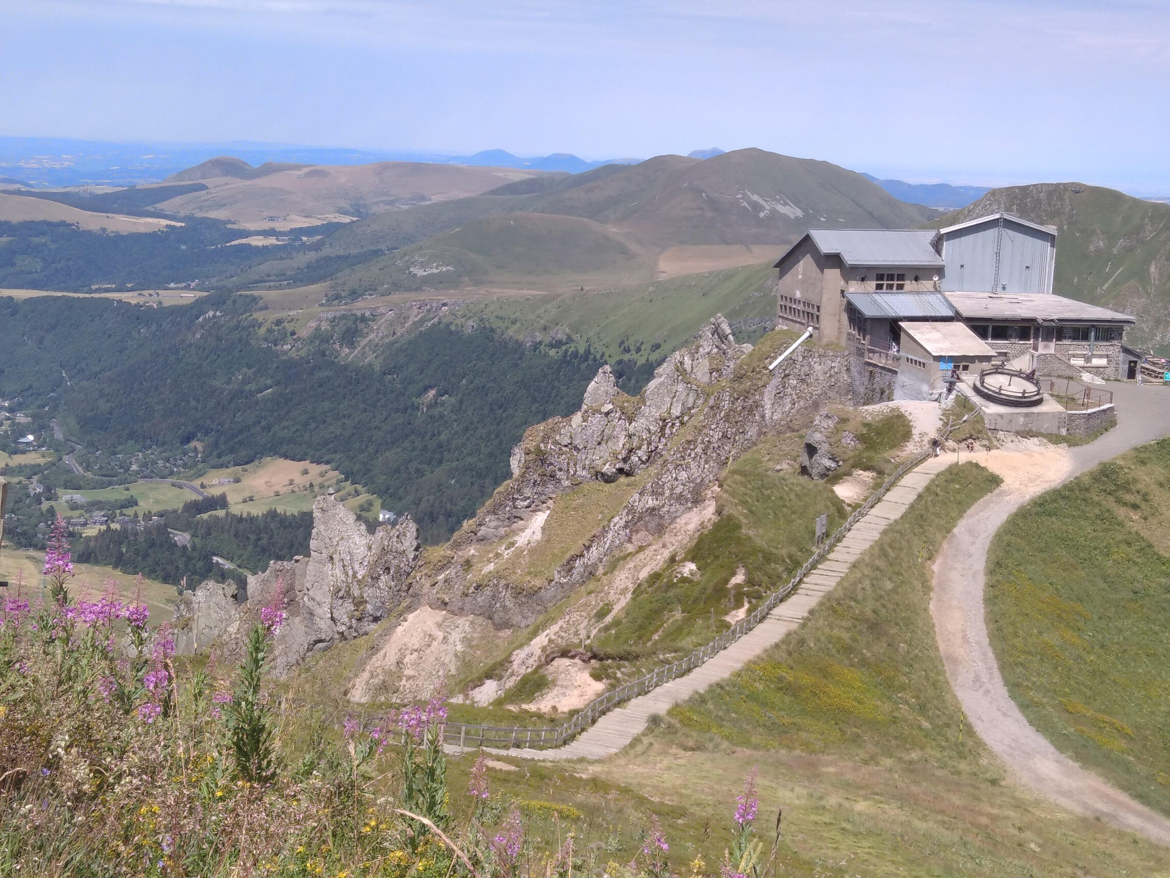
Kang Yatse approach
OSM hiking route to the Kang Yatse approach, Ladakh (7.21 km line), not the 6,250 m summit. DEM high is the approach. Vertical figures from the GLO-30 resample. Days unknown.
Distance 7.21 km Reported · Ascent provisional (DEM sample) · High point provisional (DEM sample) · T2 · OSM route
Uttarakhand
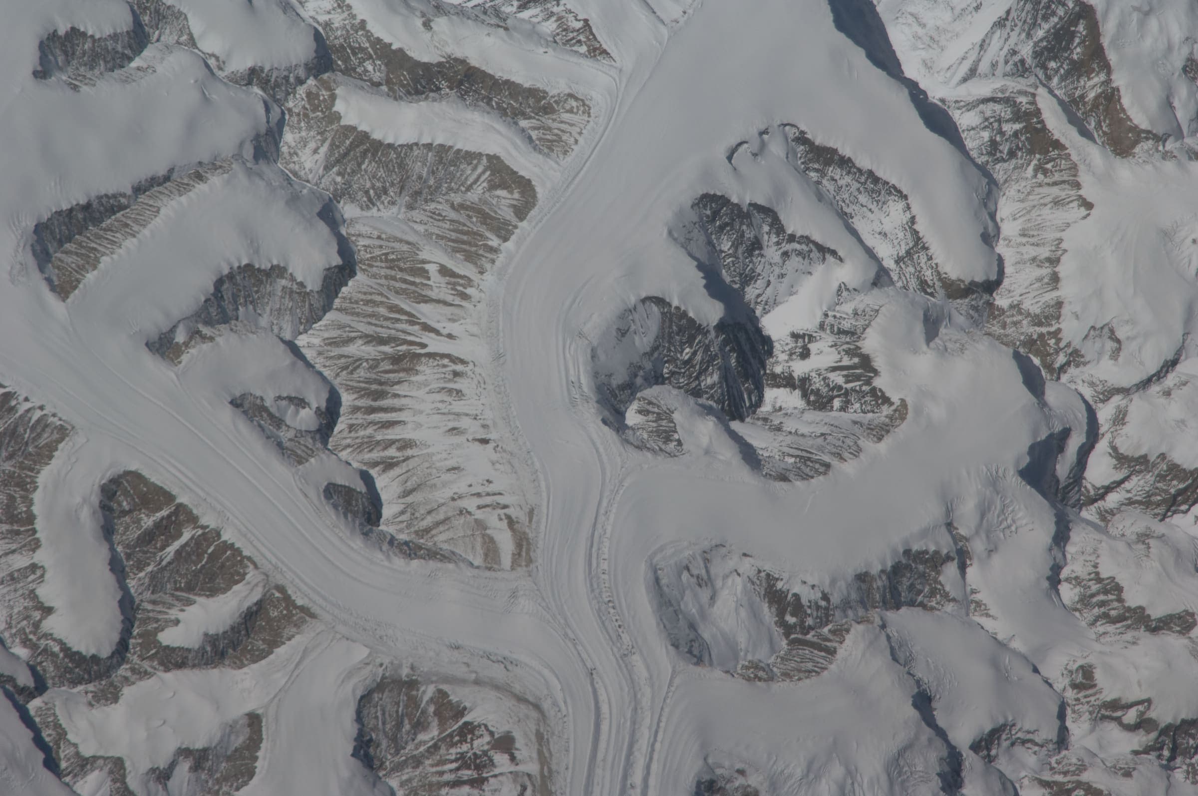
Kankul Pass Trail
OSM hiking segment Kankul Pass Trail, Uttarakhand (28.85 km line). Village-to-village path; no cited itinerary. Vertical figures from the GLO-30 resample. Days unknown.
Distance 28.85 km Reported · Ascent provisional (DEM sample) · High point provisional (DEM sample) · T2 · OSM route
Himachal Pradesh
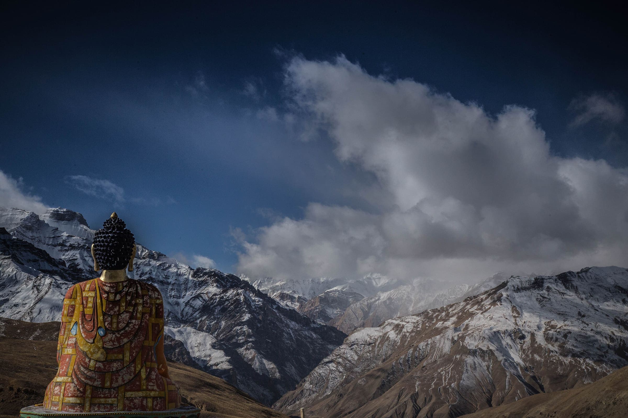
Kareri Lake
OSM hiking route Kareri Lake, Himachal Pradesh (6.04 km line). Eight approaches absorbed. OSM km vs Wikipedia 13 km (round-trip/other trailhead). Vertical figures from the GLO-30 resample. Days unknown.
Distance 6.04 km Reported · Ascent provisional (DEM sample) · High point provisional (DEM sample) · T2 · OSM route
Jammu and Kashmir
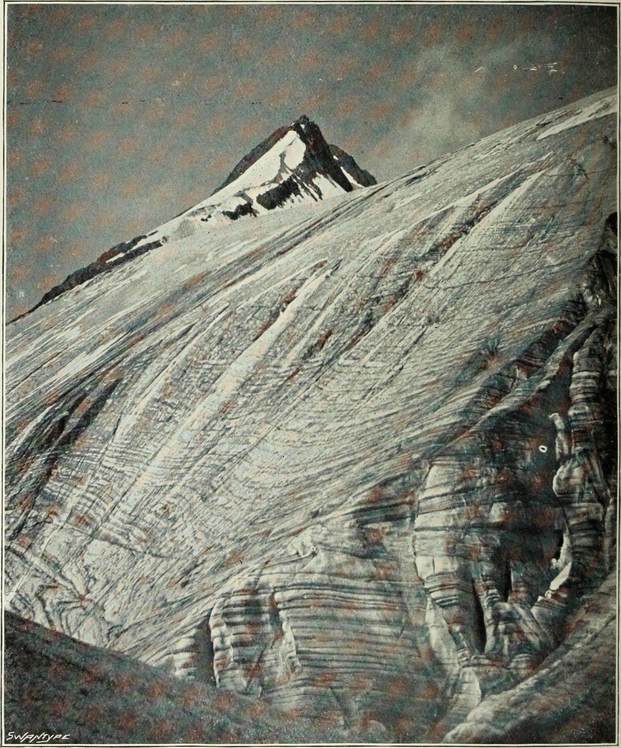
Kashmir Great Lakes
OSM hiking route Kashmir Great Lakes, Jammu and Kashmir (61.52 km Sonamarg–Naranag line). J&K Tourism permit required. Related to Gangbal–Naranag; not merged. Vertical figures from the GLO-30 resample. Days unknown.
Distance 61.52 km Reported · High point provisional (DEM sample) · T2 · OSM route
Uttarakhand
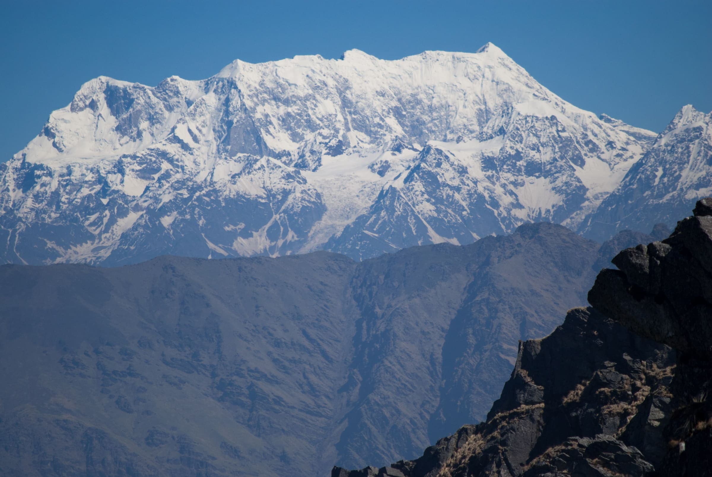
Kedarkantha
OSM hiking route to Kedarkantha, Uttarakhand (14.43 km line), canonical Sankri relation. Halthari and Darsaun approaches are absorbed on this page, not merged into the line. Vertical figures from the GLO-30 resample. Five days (Uttarakhand Tourism).
Distance 14.43 km Reported · Ascent provisional (DEM sample) · High point provisional (DEM sample) · 5d · SAC T1
Uttarakhand
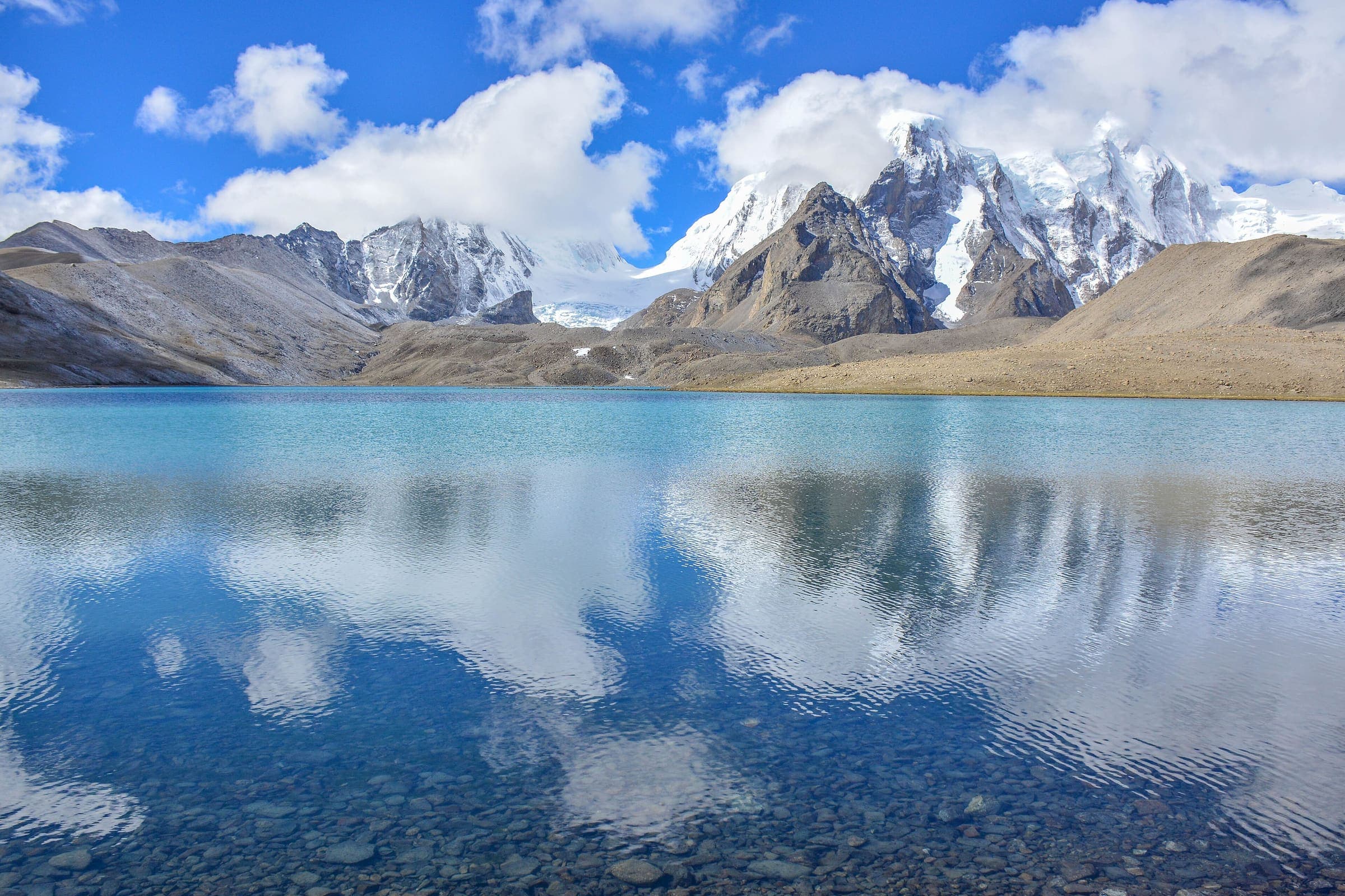
Kharkiya to Kheta
OSM hiking segment Kharkiya to Kheta, Uttarakhand (29.5 km line). Village-to-village path; no cited itinerary. Vertical figures from the GLO-30 resample. Days unknown.
Distance 29.5 km Reported · Ascent provisional (DEM sample) · High point provisional (DEM sample) · T2 · OSM route
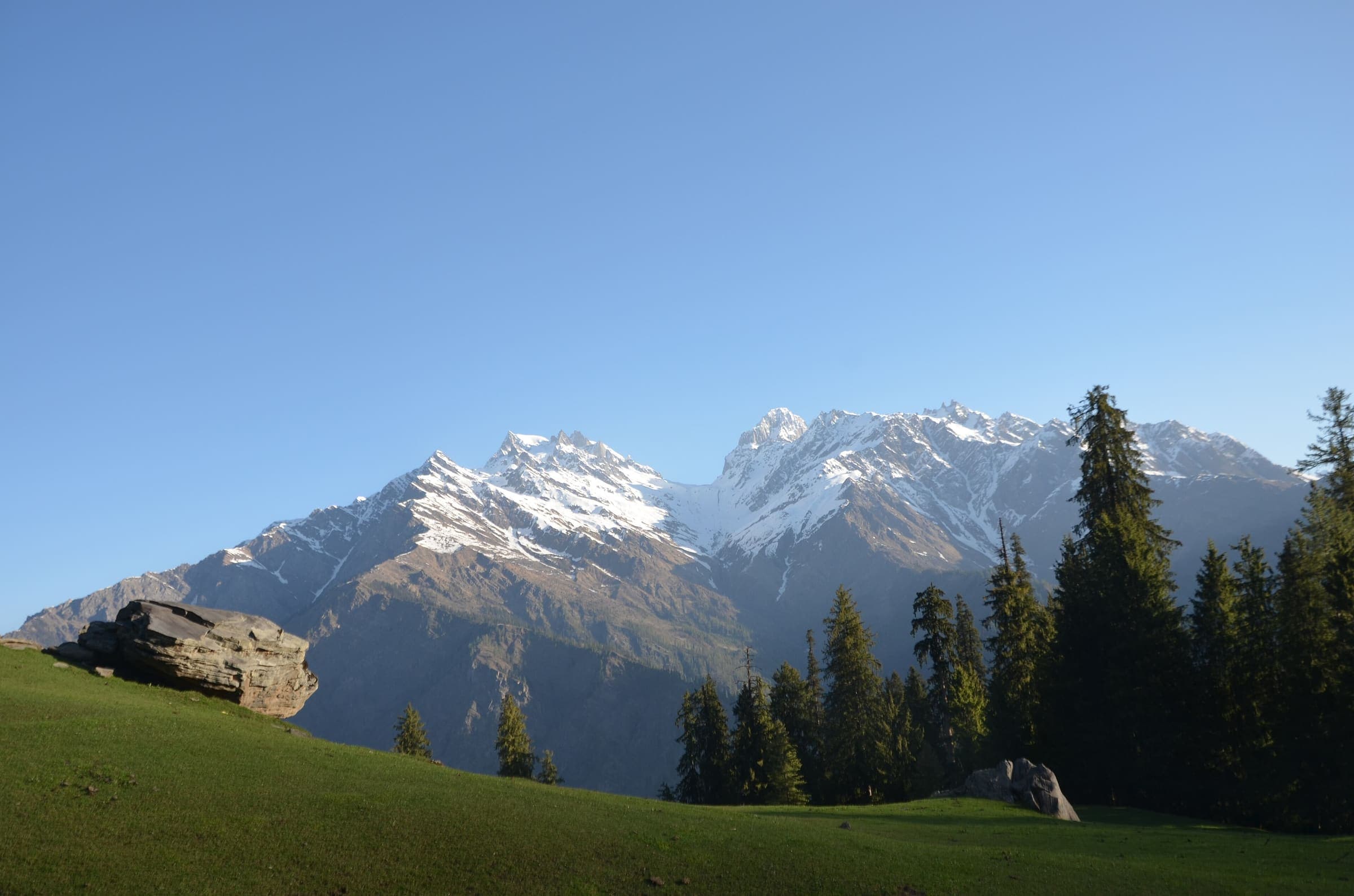
Uttarakhand
Khatling Glacier
OSM hiking route Gangi to Khatling, Uttarakhand (21.6 km line). Gangotri-side approaches 11234974 and 11243548 are absorbed on this page, not merged into the line. Vertical figures from the GLO-30 resample. Days unknown.
Distance 21.6 km Reported · Ascent provisional (DEM sample) · High point provisional (DEM sample) · T5 · OSM route
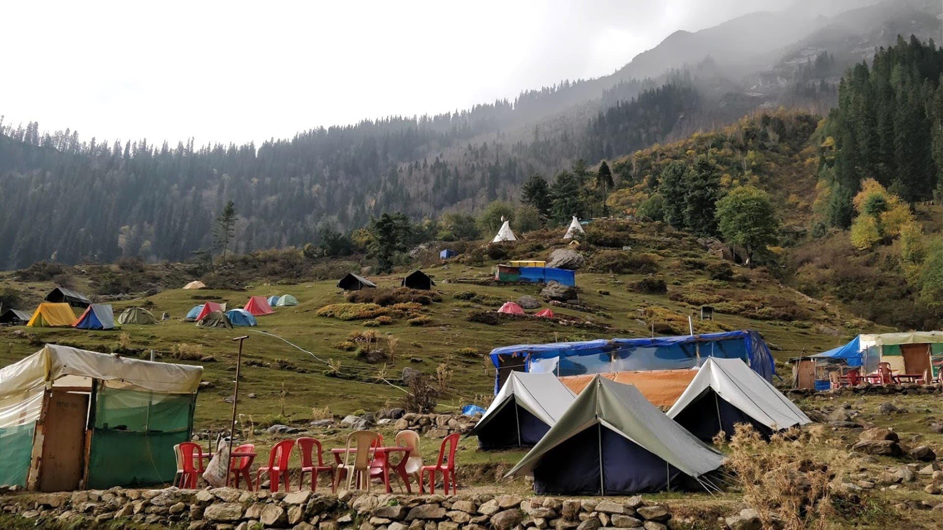
Himachal Pradesh
Kheerganga
OSM hiking route Kheerganga, Himachal Pradesh (8.58 km line). Not Pulga; not Pin Parvati. DEM high is the walked line, not the park-base figure. Vertical figures from the GLO-30 resample. Days unknown.
Distance 8.58 km Reported · Ascent provisional (DEM sample) · High point provisional (DEM sample) · T1 · OSM route
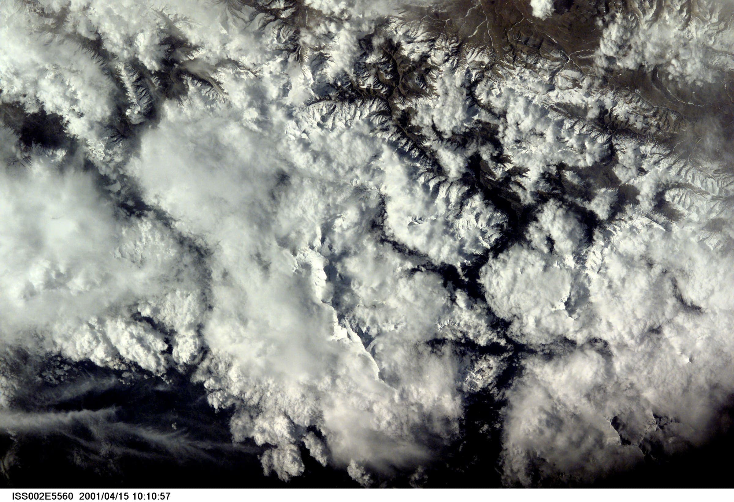
Jammu and Kashmir
Kolahoi Glacier
OSM hiking route Kolahoi Glacier, Jammu and Kashmir (19.12 km line from Aru/Lidderwat). DEM high is the glacier walk, not Kolahoi Peak. Vertical figures from the GLO-30 resample. Days unknown.
Distance 19.12 km Reported · Ascent provisional (DEM sample) · High point provisional (DEM sample) · T2 · OSM route
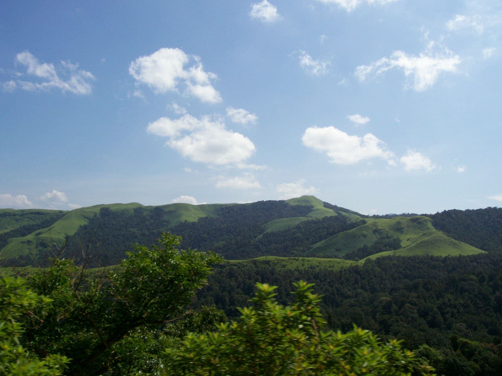
Karnataka
Kudremukh
OSM hiking route Kudremukh, Karnataka (8.45 km line). Kudremukh NP. Forest permit required. Vertical figures from the GLO-30 resample. Days unknown.
Distance 8.45 km Reported · Ascent provisional (DEM sample) · High point provisional (DEM sample) · T2 · OSM route
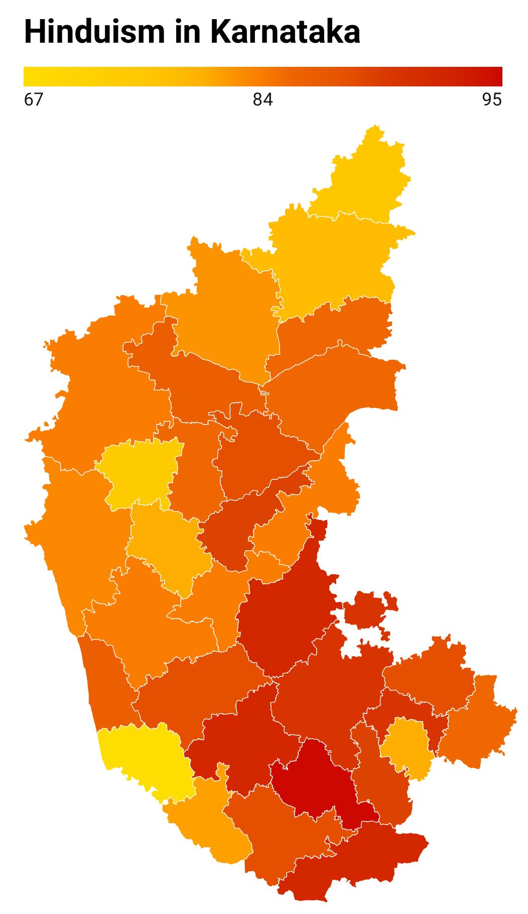
Karnataka
Kumara Parvatha
OSM hiking route Kumara Parvatha, Karnataka (9.31 km line). Beedahalli approach absorbed. Forest permit required. Vertical figures from the GLO-30 resample. Days unknown.
Distance 9.31 km Reported · Ascent provisional (DEM sample) · High point provisional (DEM sample) · T2 · OSM route
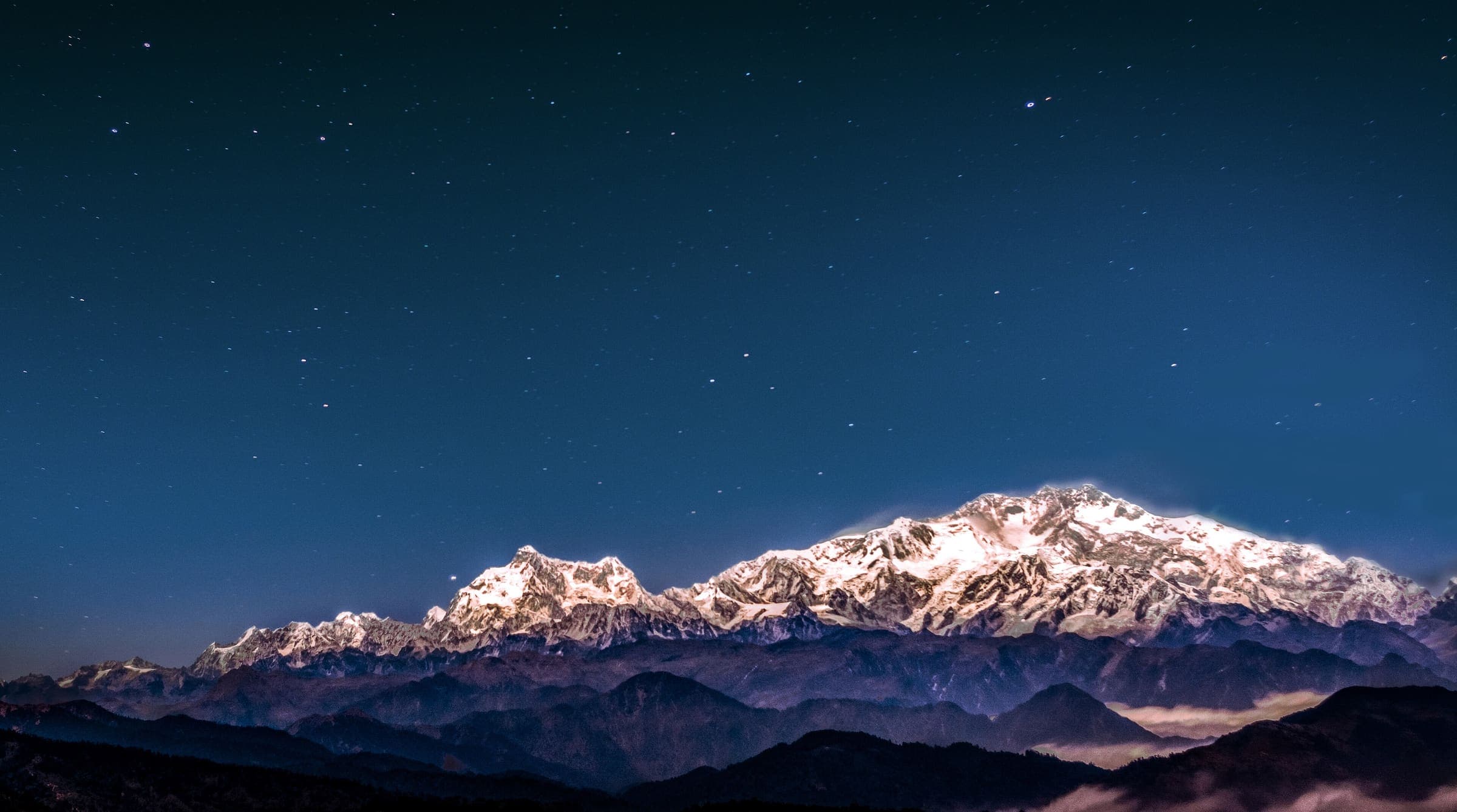
Himachal Pradesh
Lalung to Sarchu
OSM hiking traverse Lalung to Sarchu, Himachal Pradesh (49.49 km line). Village-to-village / pass path; no cited itinerary. Vertical figures from the GLO-30 resample. Days unknown.
Distance 49.49 km Reported · Ascent provisional (DEM sample) · High point provisional (DEM sample) · T2 · OSM route
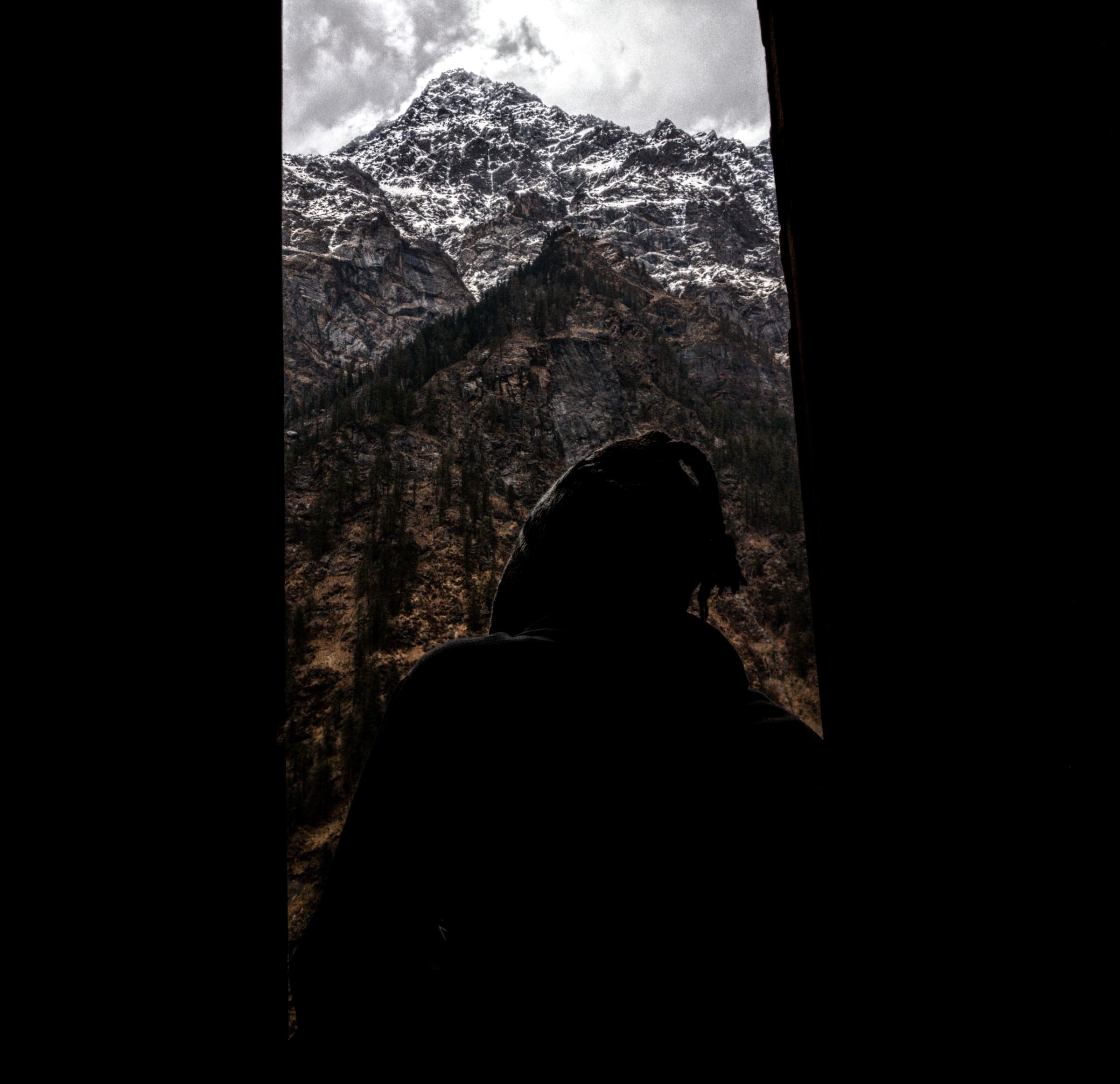
Himachal Pradesh
Larsa Way
OSM hiking traverse Larsa Way, Himachal Pradesh (60.07 km line). Village-to-village / pass path; no cited itinerary. Vertical figures from the GLO-30 resample. Days unknown.
Distance 60.07 km Reported · High point provisional (DEM sample) · T2 · OSM route
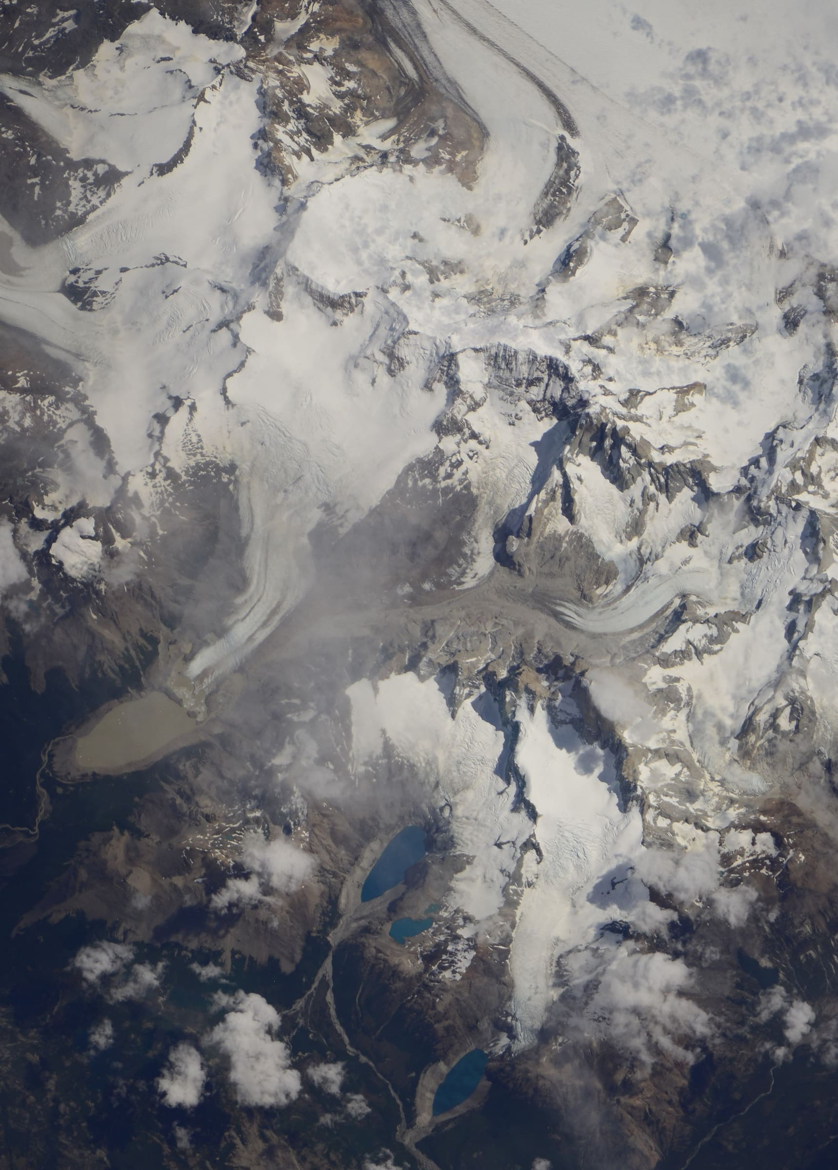
Los Glaciares
Laguna de los Tres (Fitz Roy)
Curated schematic — not walking distance. Pin-to-pin OSM named-waypoint line from El Chaltén to Laguna de los Tres (9.6 km one-way). Return retraces; the stored line is not doubled. Vertical figures are a GLO-30 sample of those pins, not a walking profile. typicalDays 1 is the published day-hike (typical, not a statute).
Distance 9.6 km provisional (round figure) · High point provisional (DEM sample) · 1d · SAC T2
Los Glaciares
Laguna Torre (Cerro Torre)
Schematic El Chaltén to Laguna Torre. Not a GPS track. DEM high 634 m. Cerro Torre 3,128 m is a landmark. No fee where the permit block says none. Return is not doubled.
Distance 8.49 km provisional (pin-to-pin derivation) · High point provisional (DEM sample) · T2 · schematic
Deccan Plateau (Telangana)
Khilla Ghanpur
Kakatiya-era hill fort in Wanaparthy district. Walking length is the Wanaparthy district Adventures page range of 2–3 km from Ghanpur village (lower end used; the figure is still provisional). The map pin is the Wikipedia coordinate, not an OSM path. Days (1) is a day-trek stamp.
Distance 2 km Reported · Ascent provisional (DEM sample) · High point provisional (DEM sample) · 1d · SAC T2
Northern Territory
Larapinta Trail
OSM sections 1–12 stitched, with small unbridged gaps. Cited about 223 km stays the length figure. Mount Sonder 1,380 m is a landmark, not this line's high.
Distance 223 km provisional (round figure) · High point provisional (DEM sample) · T3 · schematic
Ancash
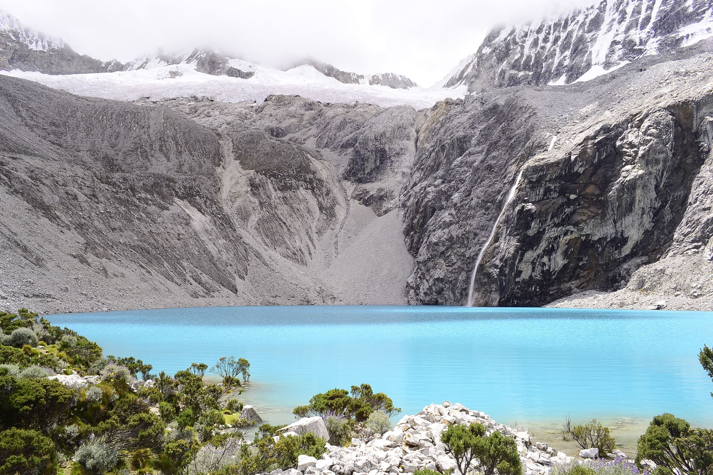
Laguna 69
Curated schematic — not walking distance. Pin-to-pin OSM named-waypoint line Cebollapampa → Laguna 69. Cited itinerary ~14 km round (provisional, secondary). Excluded from the general Huascarán boleto (separate local day-tariff, amount not stored). High 4,600 m is the lake landmark.
Distance 14 km Reported · High point Reported · T2 · schematic
Cusco
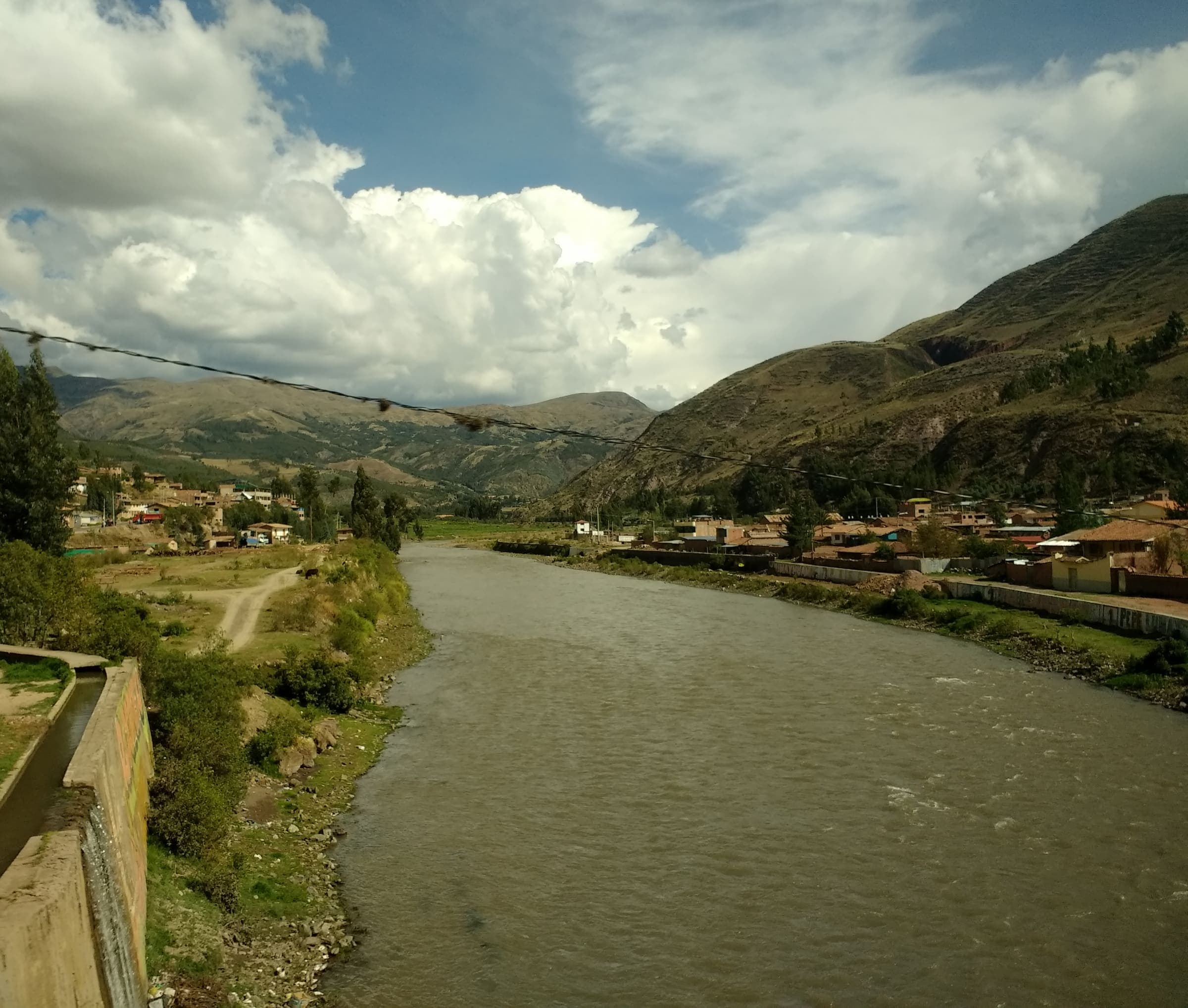
Lares Trek
Curated schematic — not walking distance. Pin-to-pin OSM named-waypoint line Lares hot springs → Cuncani → Patacancha. Cited itinerary ~35 km (provisional, secondary). No formal government permit (reported secondary). High 4,450 m is the Sicllaccasa Pass landmark, omitted from the line.
Distance 35 km Reported · High point Reported · 4d · SAC T2