
Trail records
Filter by country, access, region, distance, days, and SAC. Every card is a sourced record, not a crowd-drawn track dump. A–Z directory
Filters
36 of 36 · 36 edited records shown
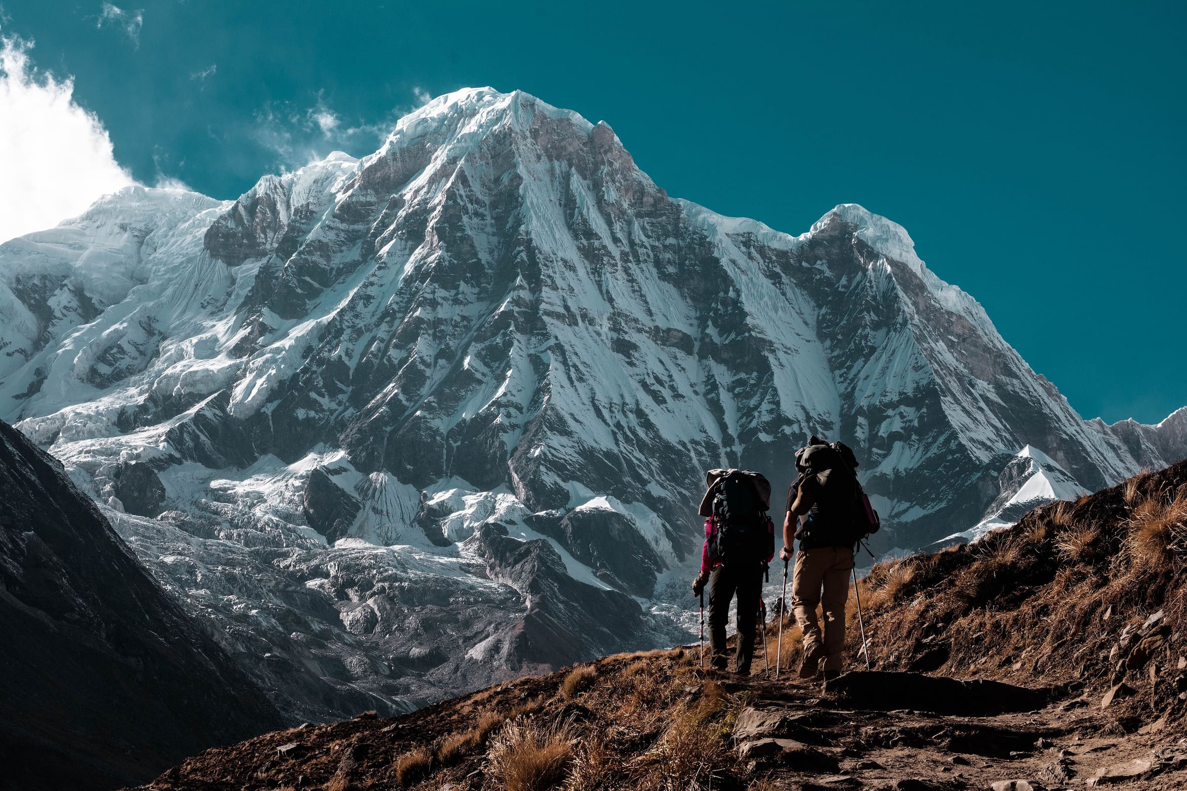
Annapurna
Ice Lake Trek
OSM hiking route in the Annapurna region (5.1 km line). Vertical figures sampled from Copernicus GLO-30.
Distance 5.1 km Reported · Ascent provisional (DEM sample) · High point provisional (DEM sample) · 1d · SAC T2
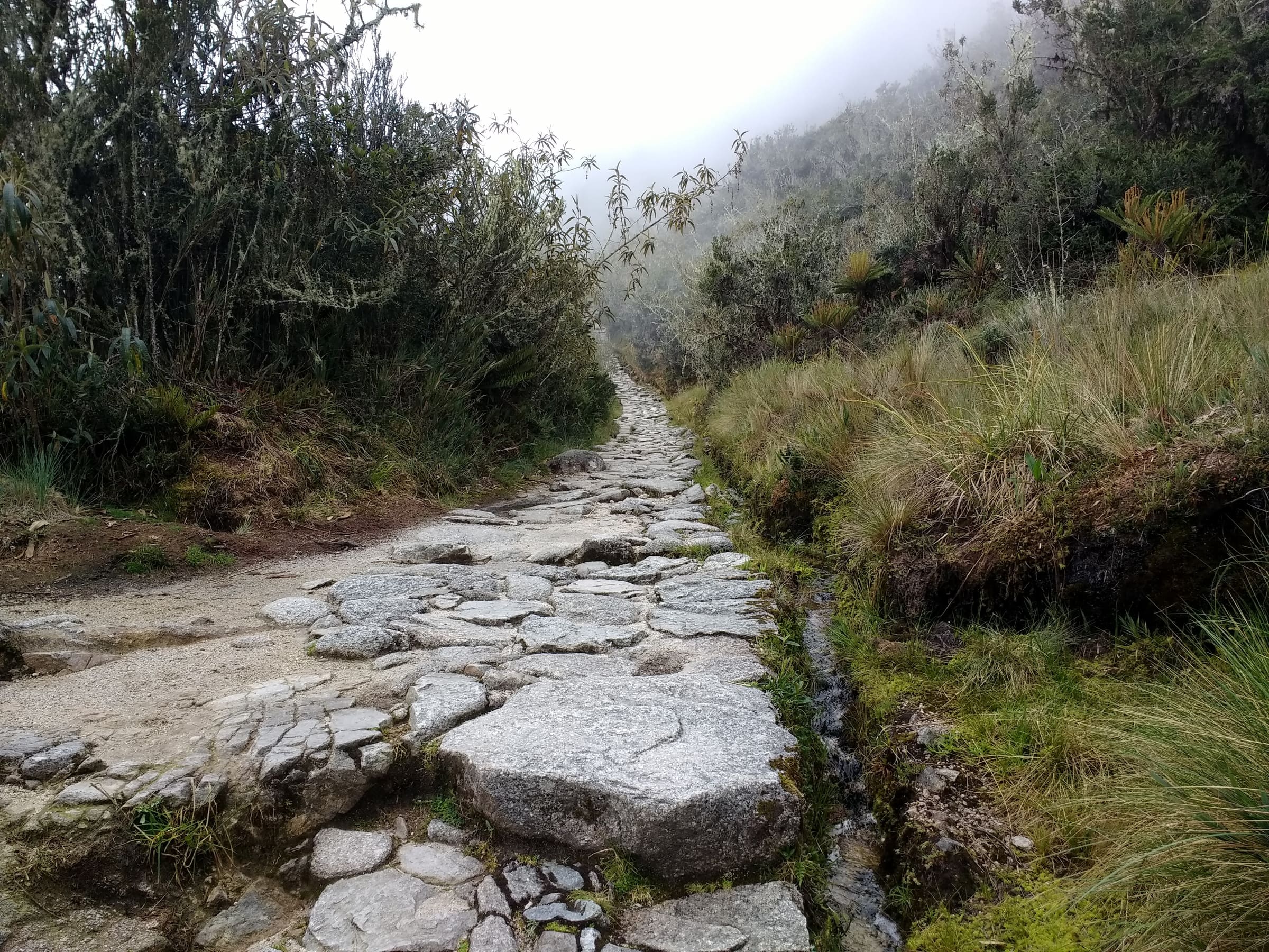
Cusco
Inca Trail (Classic 4-day)
Classic Inca Trail, OSM relation 15703494 (not Qhapaq Ñan, not Salkantay). Government permit with a hard daily quota: 500 people/day including guides and porters, licensed operator only, no independent trekking, closed every February. Published OSM line 38.29 km, DEM high 4,201 m.
Distance 38.29 km Reported · Ascent provisional (DEM sample) · High point provisional (DEM sample) · 4d · SAC T3
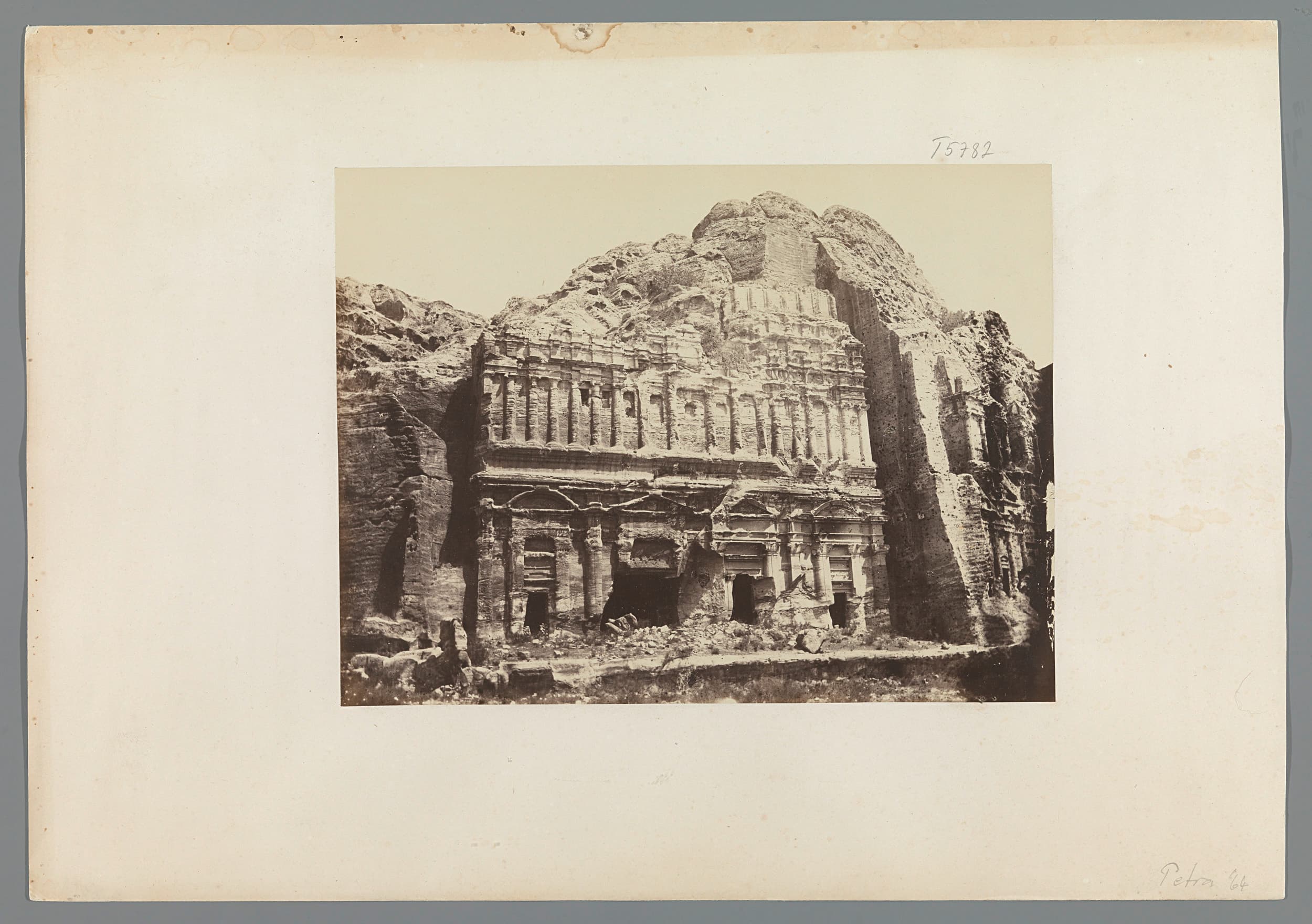
Jordan
Jordan Trail
OSM hiking route in Jordan (646.2 km line). Vertical figures sampled from Copernicus GLO-30. JTA cites 35 days of hiking for the thru-walk (https://www.jordantrail.org/, checked 2026-08-20); Wikipedia cites around 40.
Distance 646.2 km Reported · High point provisional (DEM sample) · T2 · OSM route

Corsica
GR20
OSM hiking route on Corsica's granite spine (183.6 km line), Calenzana to Conca. Vertical figures sampled from Copernicus GLO-30.
Distance 183.6 km Reported · High point provisional (DEM sample) · 16d · SAC T2
Steiermark
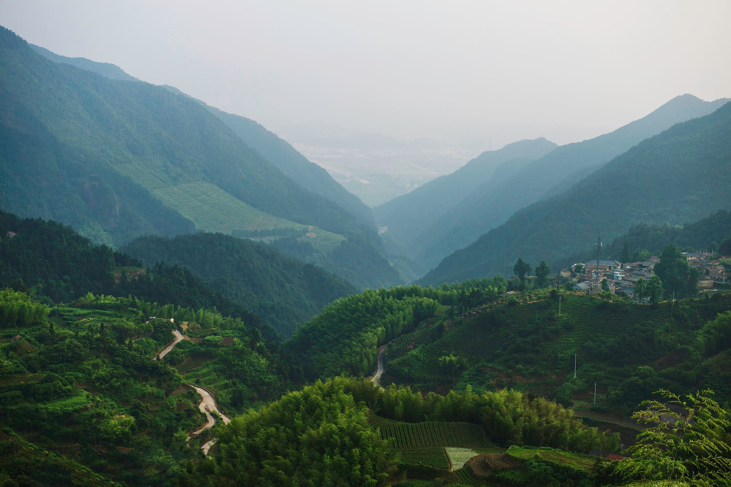
Grabenlandtrail
Reported OSM relation: Grabenlandtrail, Fernitz loop (Südoststeiermark), 129.2 km OSM 2-D. Vertical figures sampled from Copernicus GLO-30.
Distance 129.2 km Reported · High point provisional (DEM sample) · T2 · OSM route
Bern
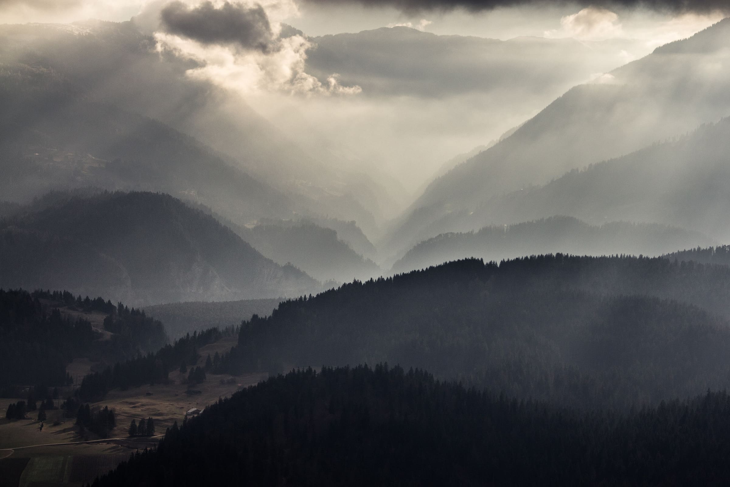
Grenzpfad Napfbergland
Reported OSM relation: SchweizMobil regional hiking route 65, Grenzpfad Napfbergland, Langenthal to Brünig, 115.1 km OSM 2-D. Vertical figures sampled from Copernicus GLO-30.
Distance 115.1 km Reported · High point provisional (DEM sample) · T2 · OSM route
Graubünden
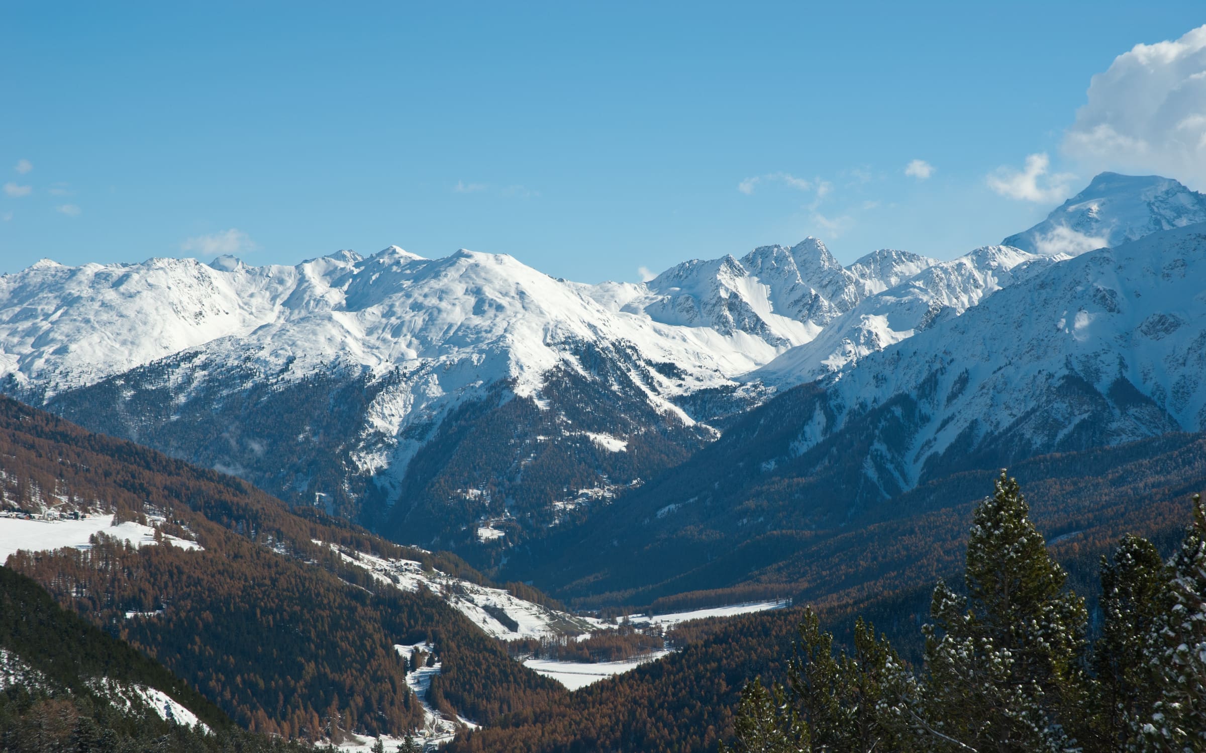
Jakobsweg Graubünden
Reported OSM relation: SchweizMobil regional hiking route 43, Jakobsweg Graubünden, Müstair to Oberalppass, 261.1 km OSM 2-D. Vertical figures sampled from Copernicus GLO-30.
Distance 261.1 km Reported · High point provisional (DEM sample) · T2 · OSM route
Langtang
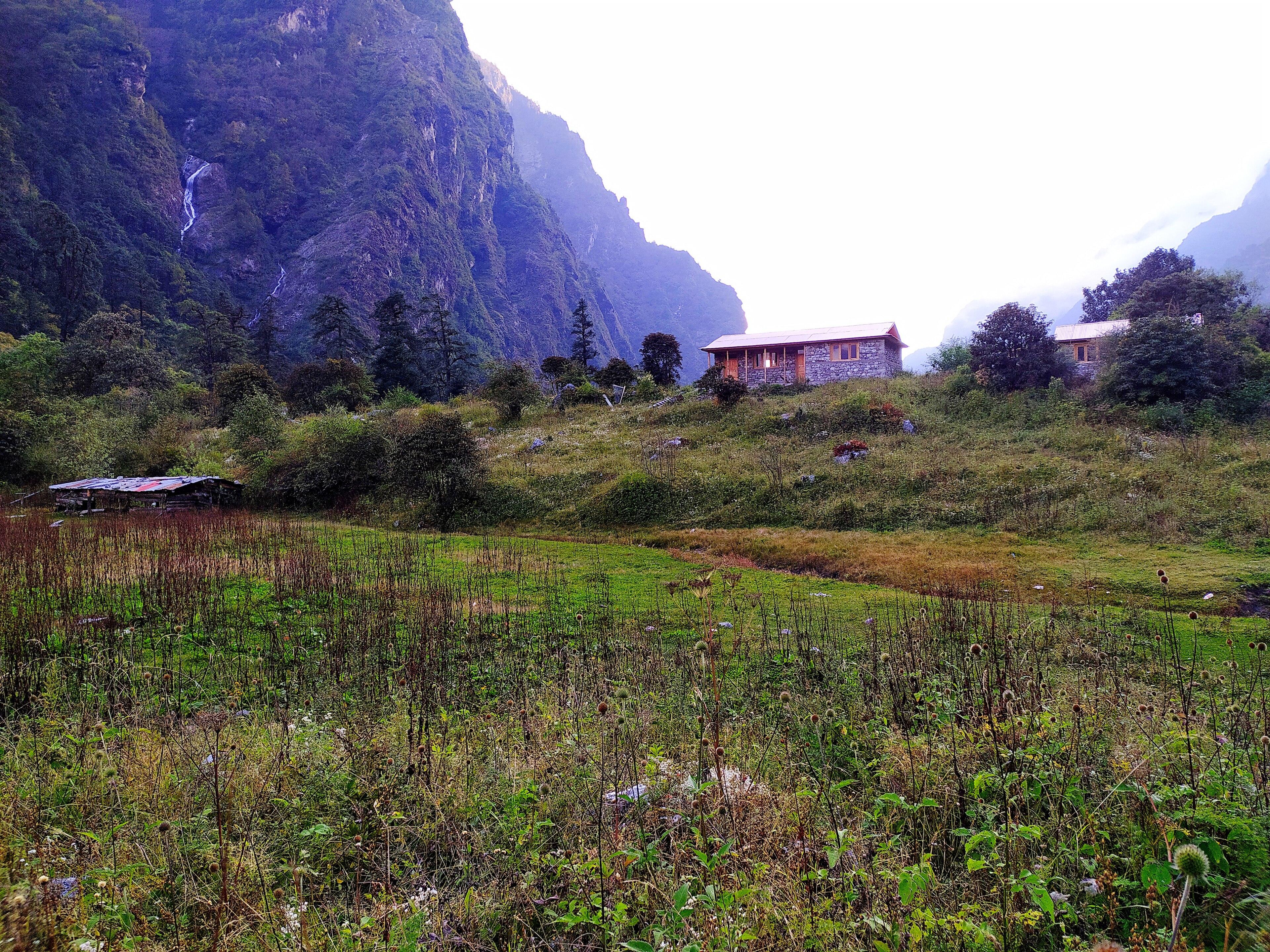
Helambu
OSM hiking route Helambu, Nepal (43.41 km line). Permits are the headline (official NTB/NTNC 2026-09-21). Vertical figures from the Wave N GLO-30 resample.
Distance 43.41 km Reported · Ascent provisional (DEM sample) · High point provisional (DEM sample) · 6d · SAC T2
Sierra Nevada
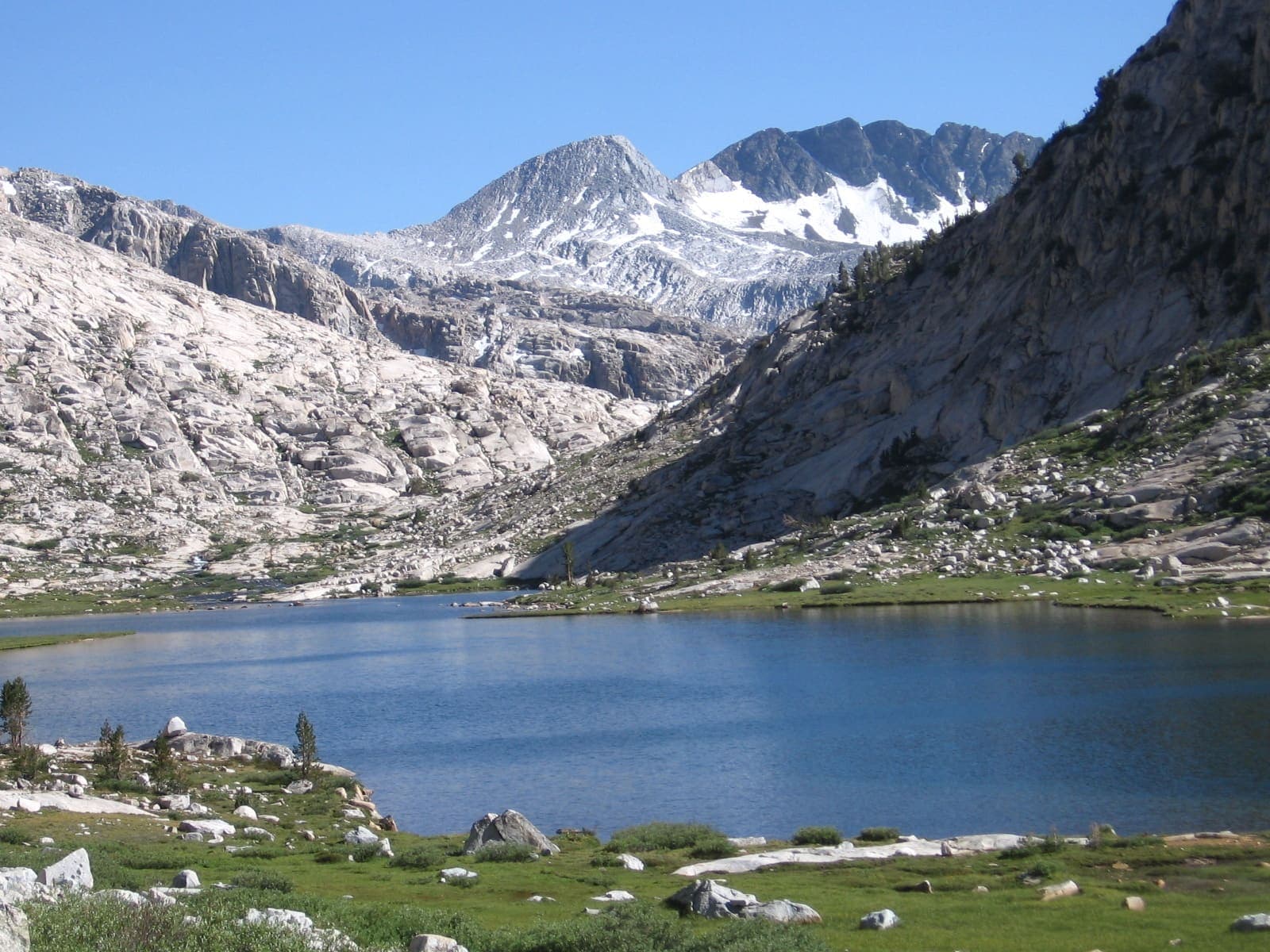
John Muir Trail
OSM John Muir Trail in the Sierra Nevada, United States (335.8 km line), Yosemite Valley toward Mt Whitney. Not the Pacific Crest Trail. Vertical figures sampled from Copernicus GLO-30.
Distance 335.8 km Reported · High point provisional (DEM sample) · 21d · SAC T2
Hadrian's Wall
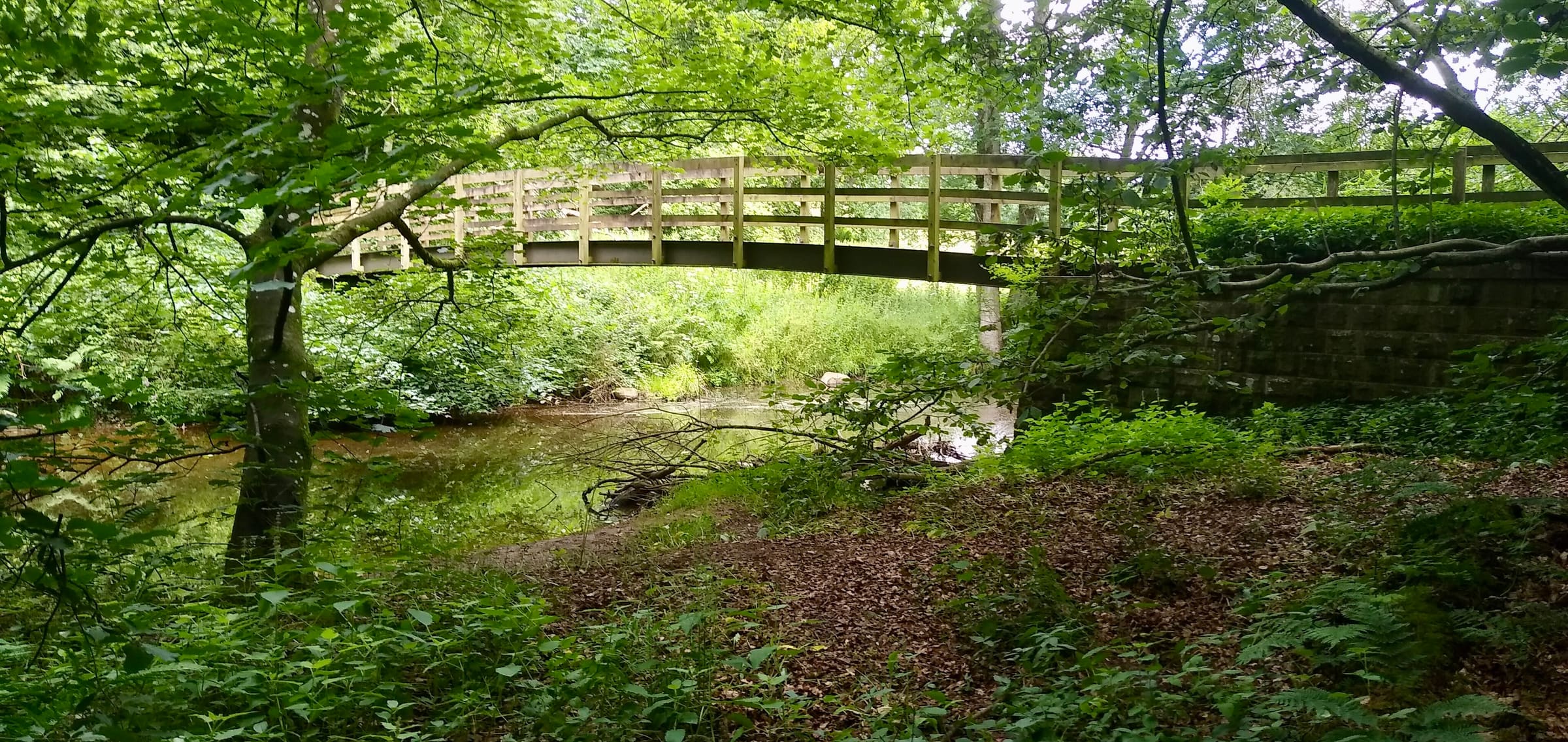
Hadrian's Wall Path
OSM hiking route across northern England (123.7 km line), Wallsend to Bowness-on-Solway. Vertical figures sampled from Copernicus GLO-30.
Distance 123.7 km Reported · High point provisional (DEM sample) · 7d · SAC T1
Maharashtra
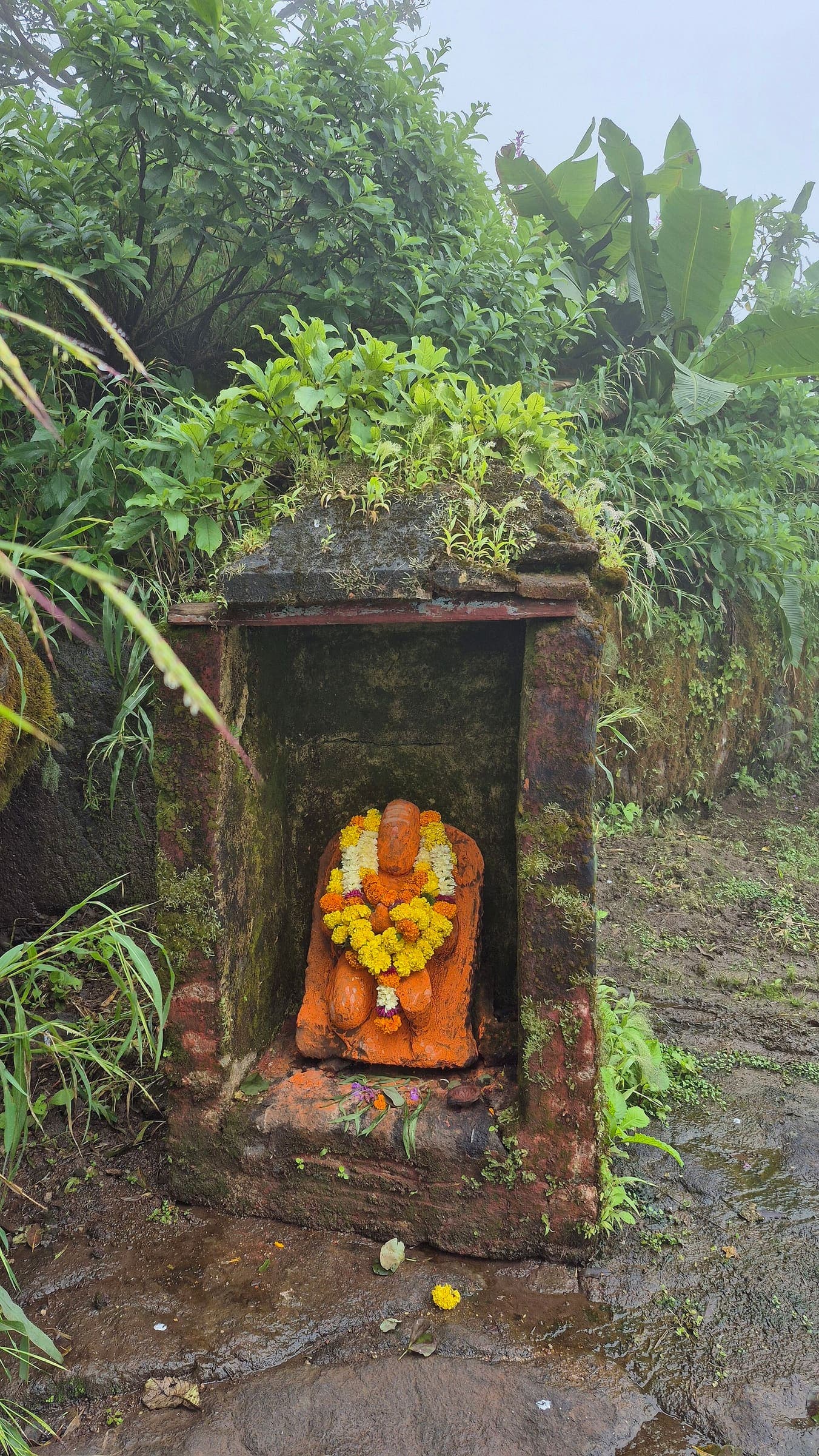
Hargad Fort
OSM hiking route Hargad Fort, Maharashtra (3.4 km line). out-and-back; one-way 3.4 km, round-trip 6.8 km in prose. Vertical figures from the GLO-30 resample. Days unknown.
Distance 3.4 km Reported · Ascent provisional (DEM sample) · High point provisional (DEM sample) · T2 · OSM route
Maharashtra
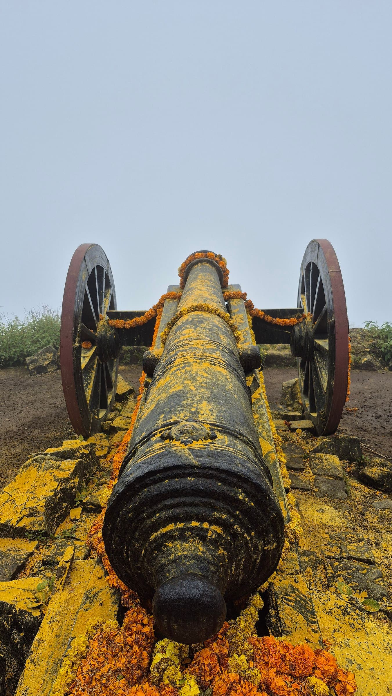
Hatgad Fort
OSM hiking route Hatgad Fort, Maharashtra (1.97 km line). out-and-back; one-way 1.97 km, round-trip 3.94 km in prose. Vertical figures from the GLO-30 resample. Days unknown.
Distance 1.97 km Reported · Ascent provisional (DEM sample) · High point provisional (DEM sample) · T2 · OSM route
Maharashtra
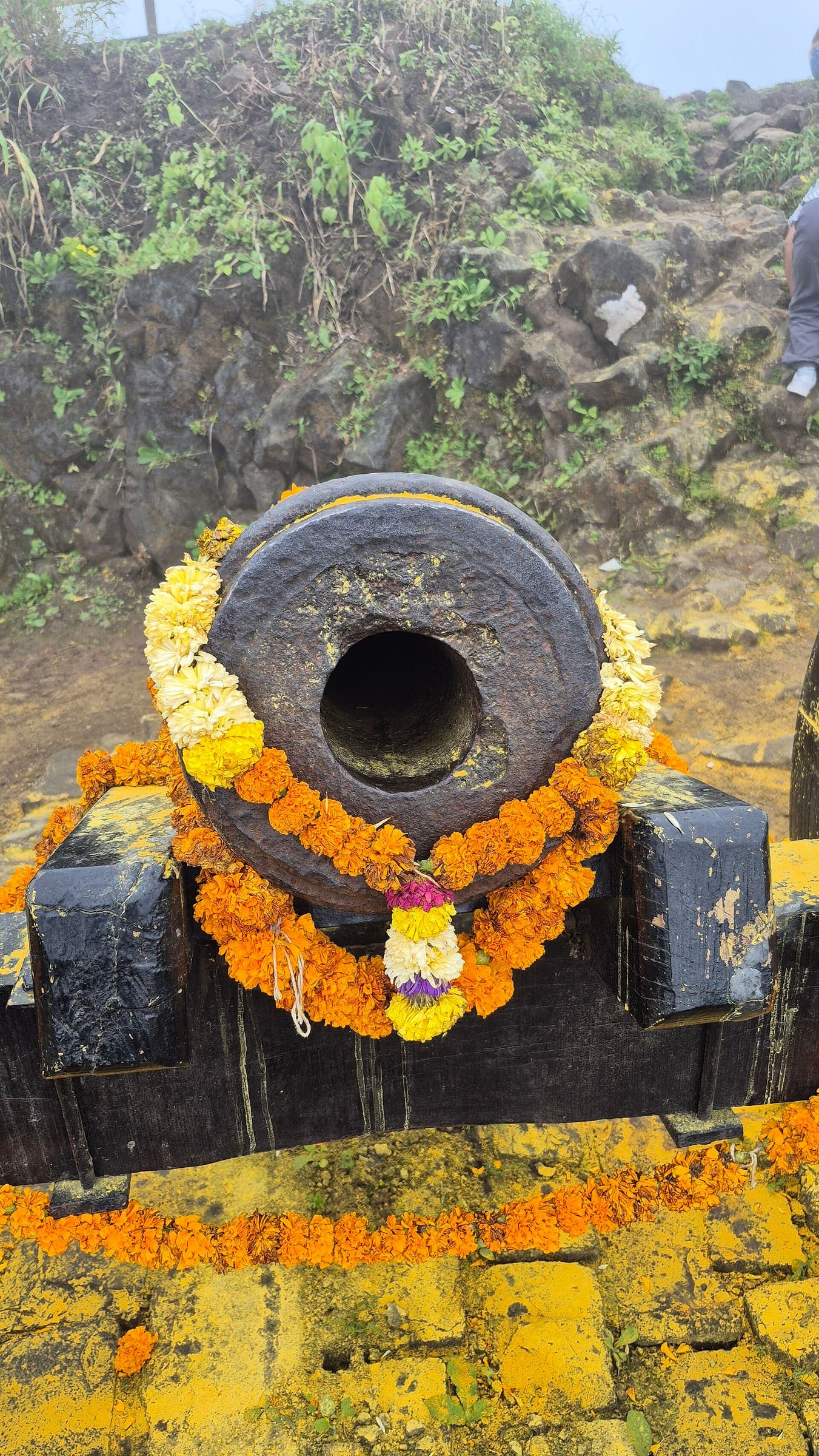
Jawlya - Rawlya Fort
OSM hiking route Jawlya - Rawlya Fort, Maharashtra (6.13 km line). ⚠ 2-component 33 m gap. Vertical figures from the GLO-30 resample. Days unknown.
Distance 6.13 km Reported · Ascent provisional (DEM sample) · High point provisional (DEM sample) · T2 · OSM route
Maharashtra
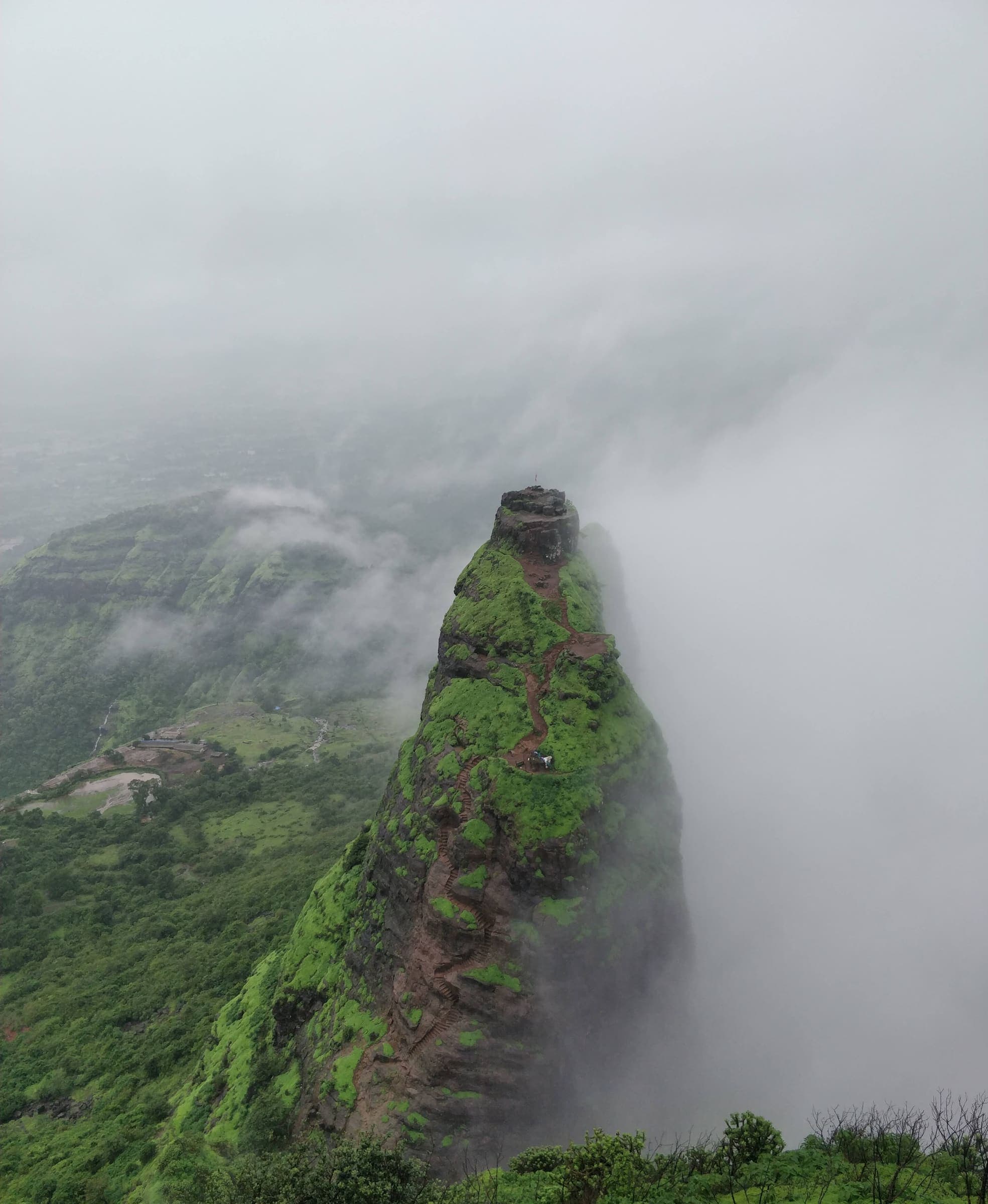
Kalavantin Durg
OSM hiking route Kalavantin Durg, Maharashtra (5.07 km line). out-and-back; one-way 5.07 km, round-trip 10.14 km in prose. Vertical figures from the GLO-30 resample. Days unknown.
Distance 5.07 km Reported · Ascent provisional (DEM sample) · High point provisional (DEM sample) · T2 · OSM route
Maharashtra
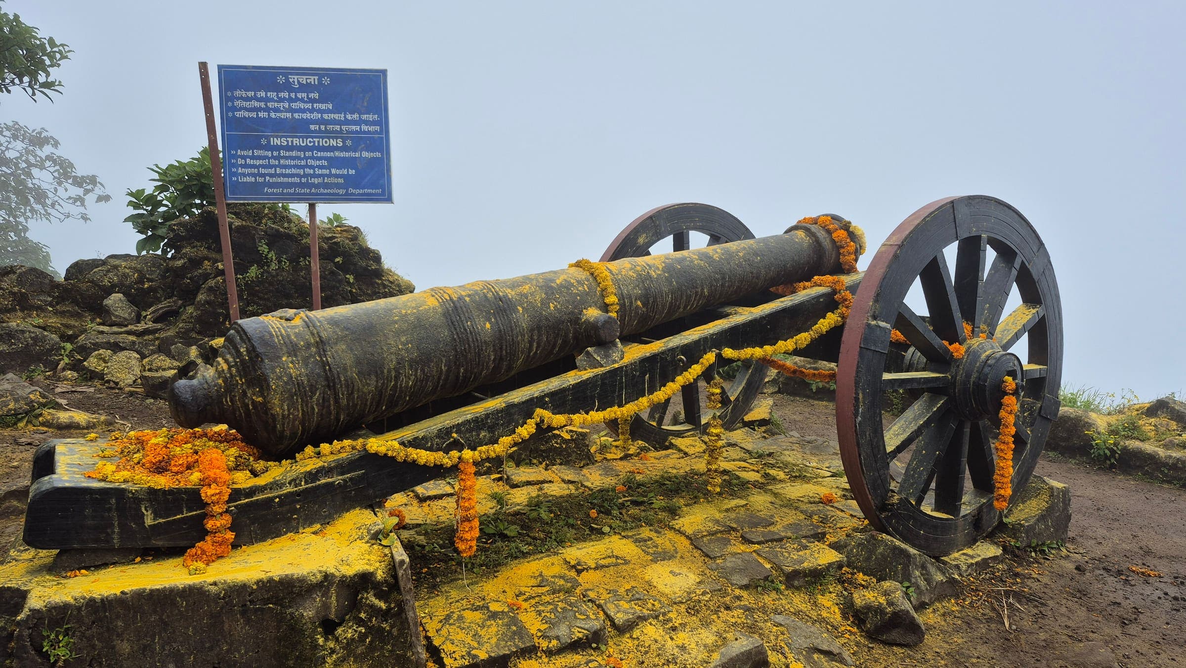
Kaldurg Fort
OSM hiking route Kaldurg Fort, Maharashtra (1.48 km line). out-and-back; one-way 1.48 km, round-trip 2.96 km in prose. Vertical figures from the GLO-30 resample. Days unknown.
Distance 1.48 km Reported · Ascent provisional (DEM sample) · High point provisional (DEM sample) · T2 · OSM route
Maharashtra
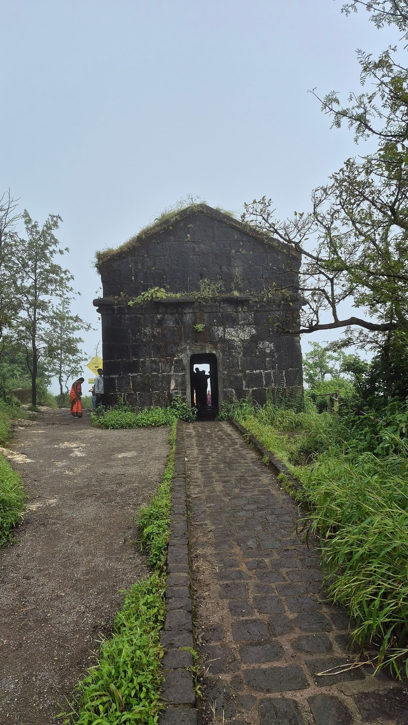
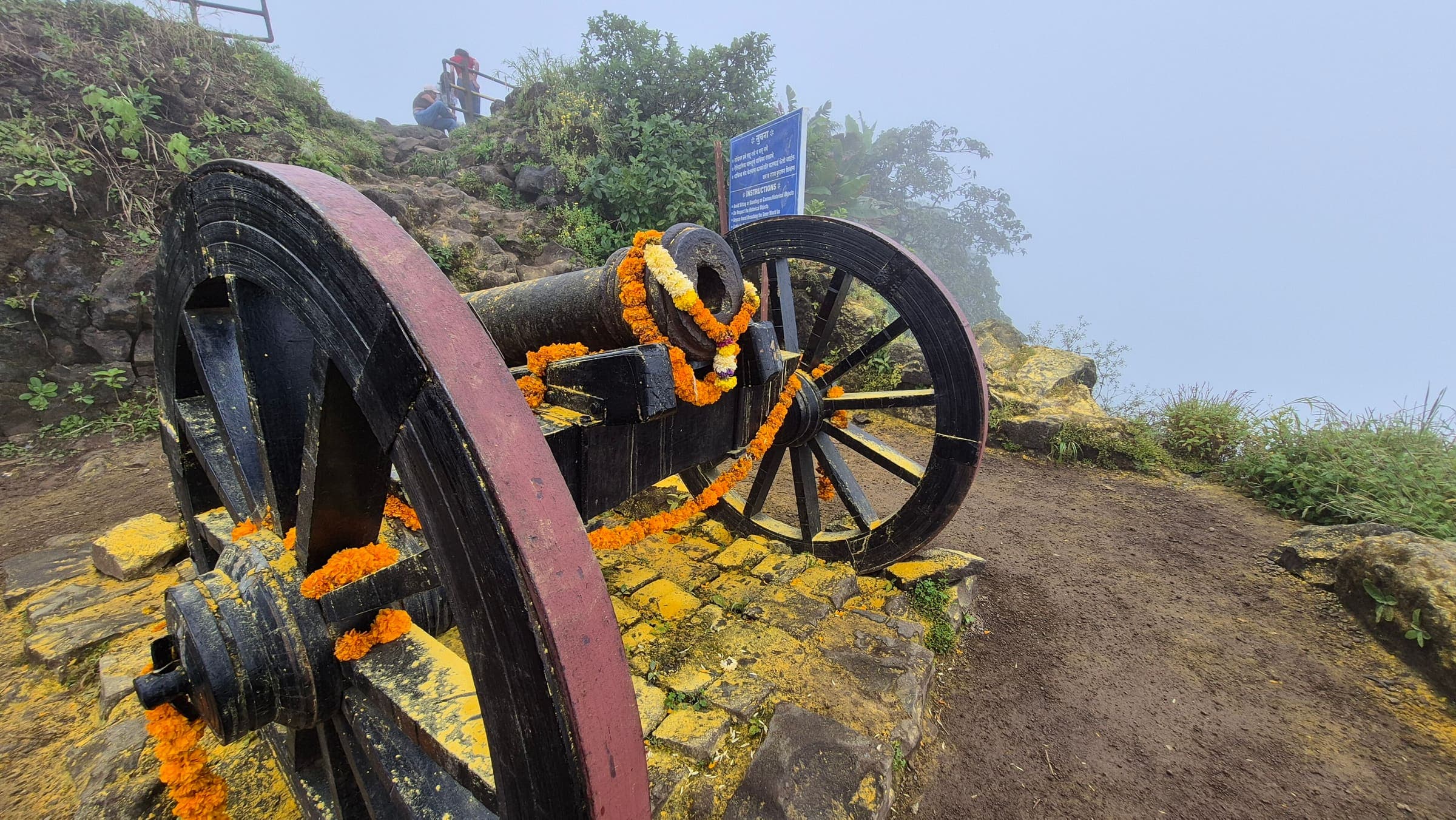
Kamalgad Fort
OSM hiking route Kamalgad Fort, Maharashtra (5.42 km line). out-and-back; one-way 5.42 km, round-trip 10.84 km in prose. Vertical figures from the GLO-30 resample. Days unknown.
Distance 5.42 km Reported · Ascent provisional (DEM sample) · High point provisional (DEM sample) · T2 · OSM route
Maharashtra
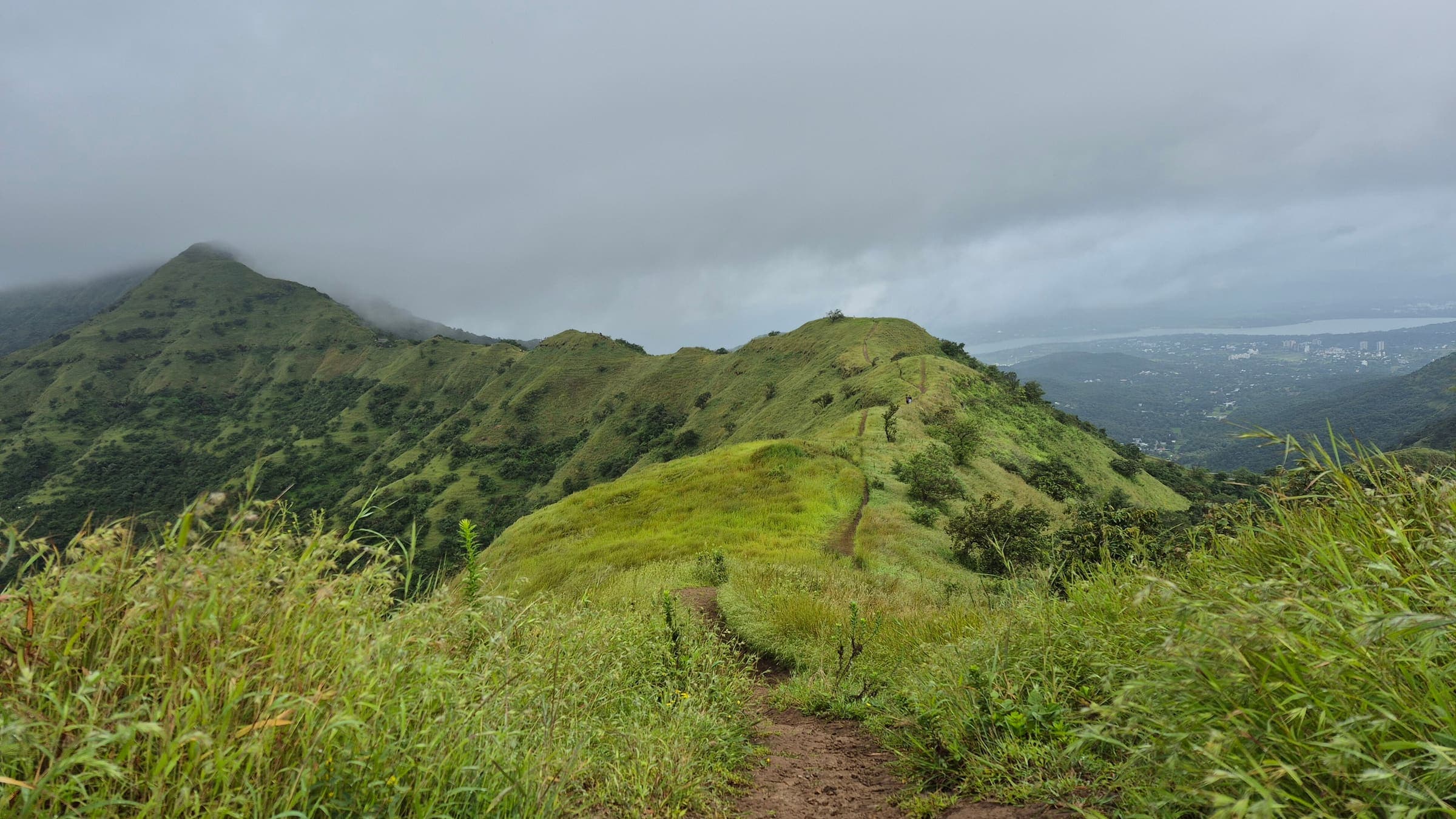
Kamalgad Fort 2
OSM hiking route Kamalgad Fort 2, Maharashtra (4.43 km line). out-and-back; one-way 4.43 km, round-trip 8.86 km in prose. Vertical figures from the GLO-30 resample. Days unknown.
Distance 4.43 km Reported · Ascent provisional (DEM sample) · High point provisional (DEM sample) · T2 · OSM route
Maharashtra
Kamandurg Fort
OSM hiking route Kamandurg Fort, Maharashtra (4.28 km line). out-and-back; one-way 4.28 km, round-trip 8.56 km in prose. Vertical figures from the GLO-30 resample. Days unknown.
Distance 4.28 km Reported · Ascent provisional (DEM sample) · High point provisional (DEM sample) · T2 · OSM route

Langtang
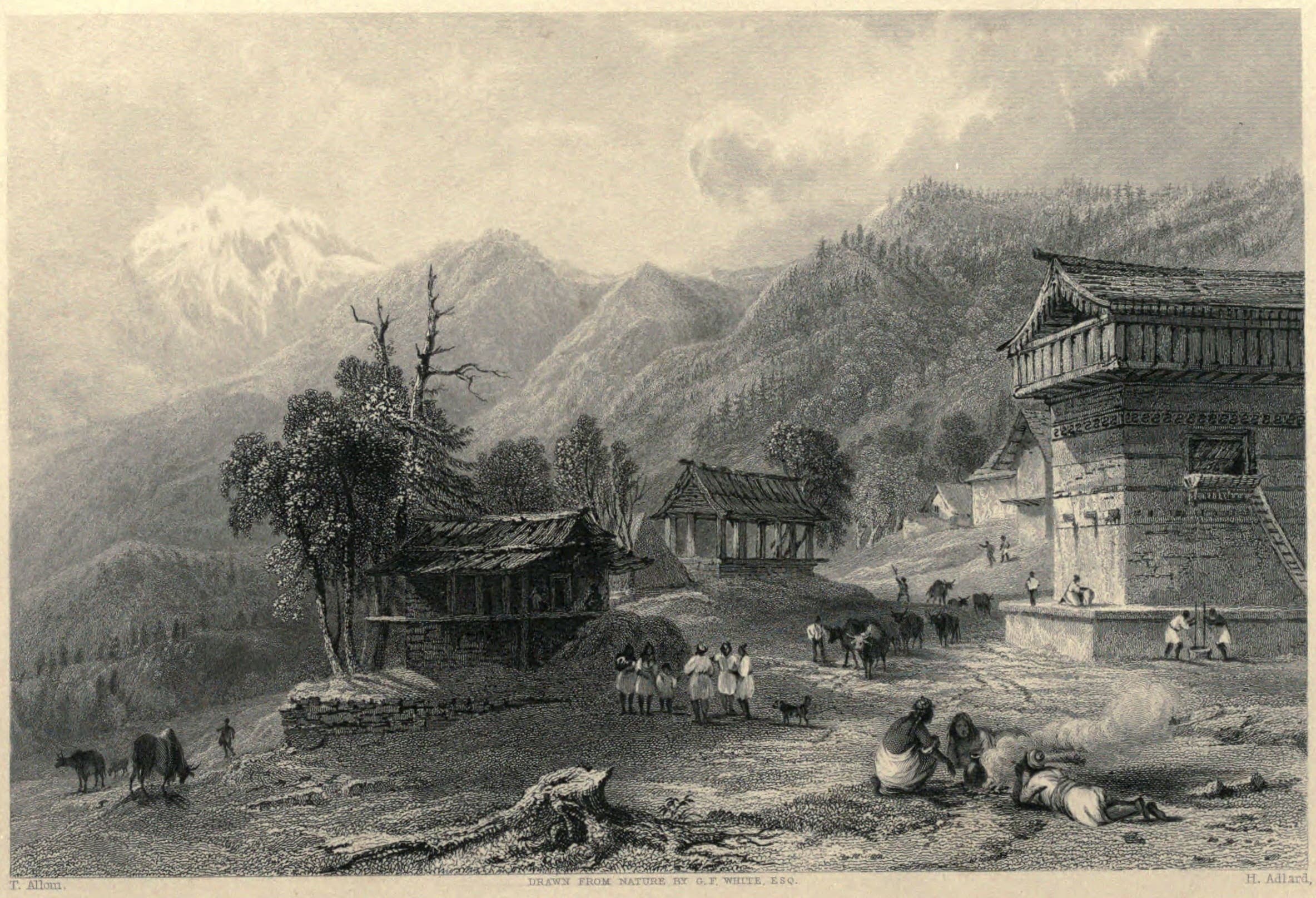
GosainKunda Trek
OSM hiking route GosainKunda Trek, Nepal (38.69 km line). Permits are the headline (official NTB/NTNC 2026-09-21). Vertical figures from the Wave N GLO-30 resample.
Distance 38.69 km Reported · Ascent provisional (DEM sample) · High point provisional (DEM sample) · 7d · SAC T2
Himachal Pradesh
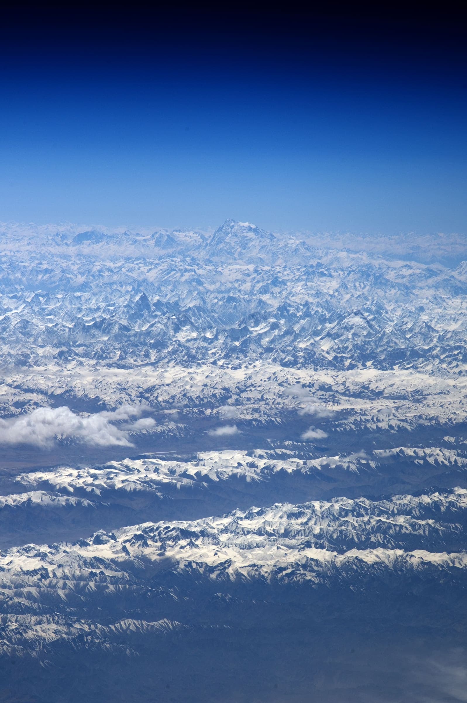
Hampta Pass
OSM hiking route Hampta Pass, Himachal Pradesh (25.11 km line). Vertical figures from the GLO-30 resample. Days unknown.
Distance 25.11 km Reported · Ascent provisional (DEM sample) · High point provisional (DEM sample) · T2 · OSM route
Uttarakhand
Hemkund Sahib
OSM hiking route to Hemkund Sahib, Uttarakhand (14.67 km line), Govindghat via Ghangaria. Not Valley of Flowers 11241655 — shared stem; related, not merged. Vertical figures from the GLO-30 resample. Days unknown.
Distance 14.67 km Reported · Ascent provisional (DEM sample) · High point provisional (DEM sample) · T2 · OSM route
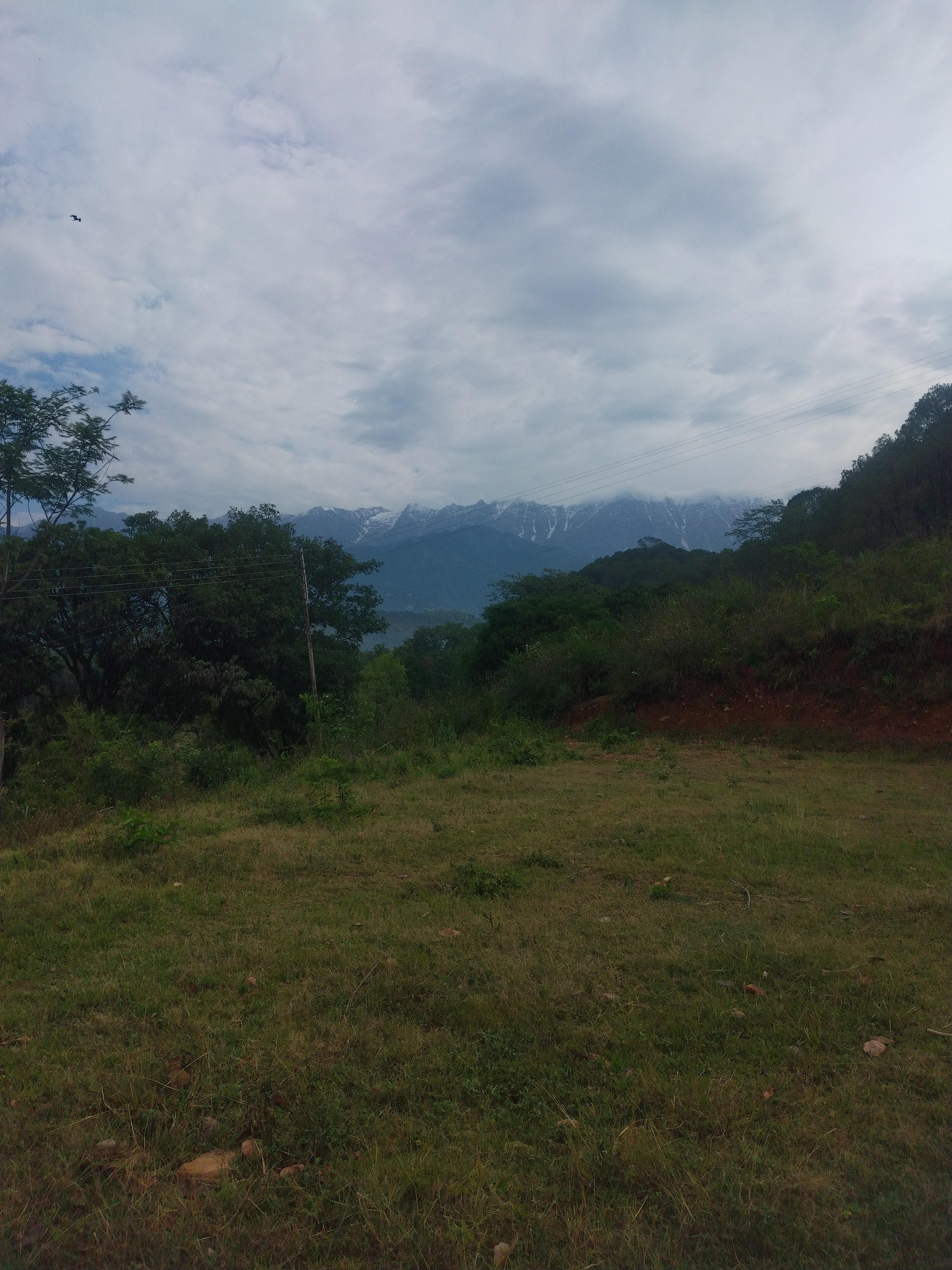
Himachal Pradesh
Indrahar Pass
OSM hiking route Indrahar Pass, Himachal Pradesh (25.47 km line). Vertical figures from the GLO-30 resample. Days unknown.
Distance 25.47 km Reported · Ascent provisional (DEM sample) · High point provisional (DEM sample) · T5 · OSM route
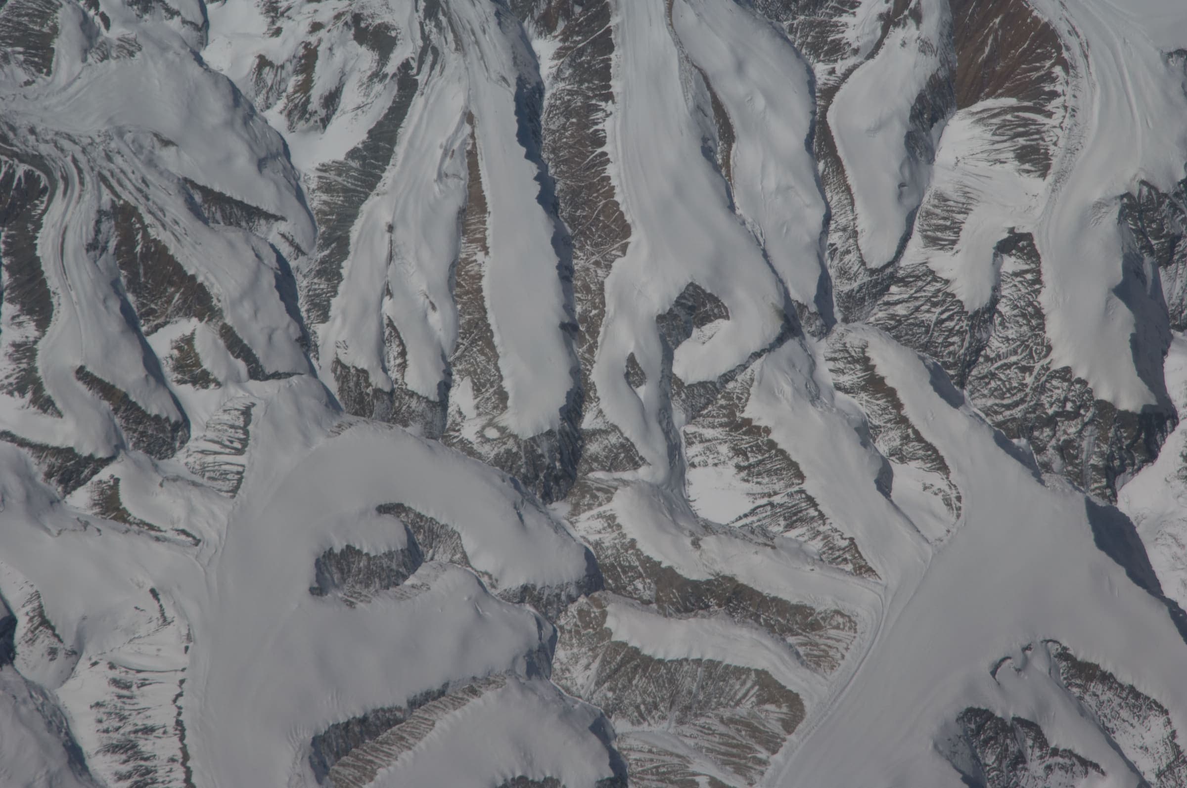
Himachal Pradesh
Kaliheni Pass
OSM hiking traverse Kaliheni Pass, Himachal Pradesh (51.77 km line). Village-to-village / pass path; no cited itinerary. Vertical figures from the GLO-30 resample. Days unknown.
Distance 51.77 km Reported · Ascent provisional (DEM sample) · High point provisional (DEM sample) · T5 · OSM route
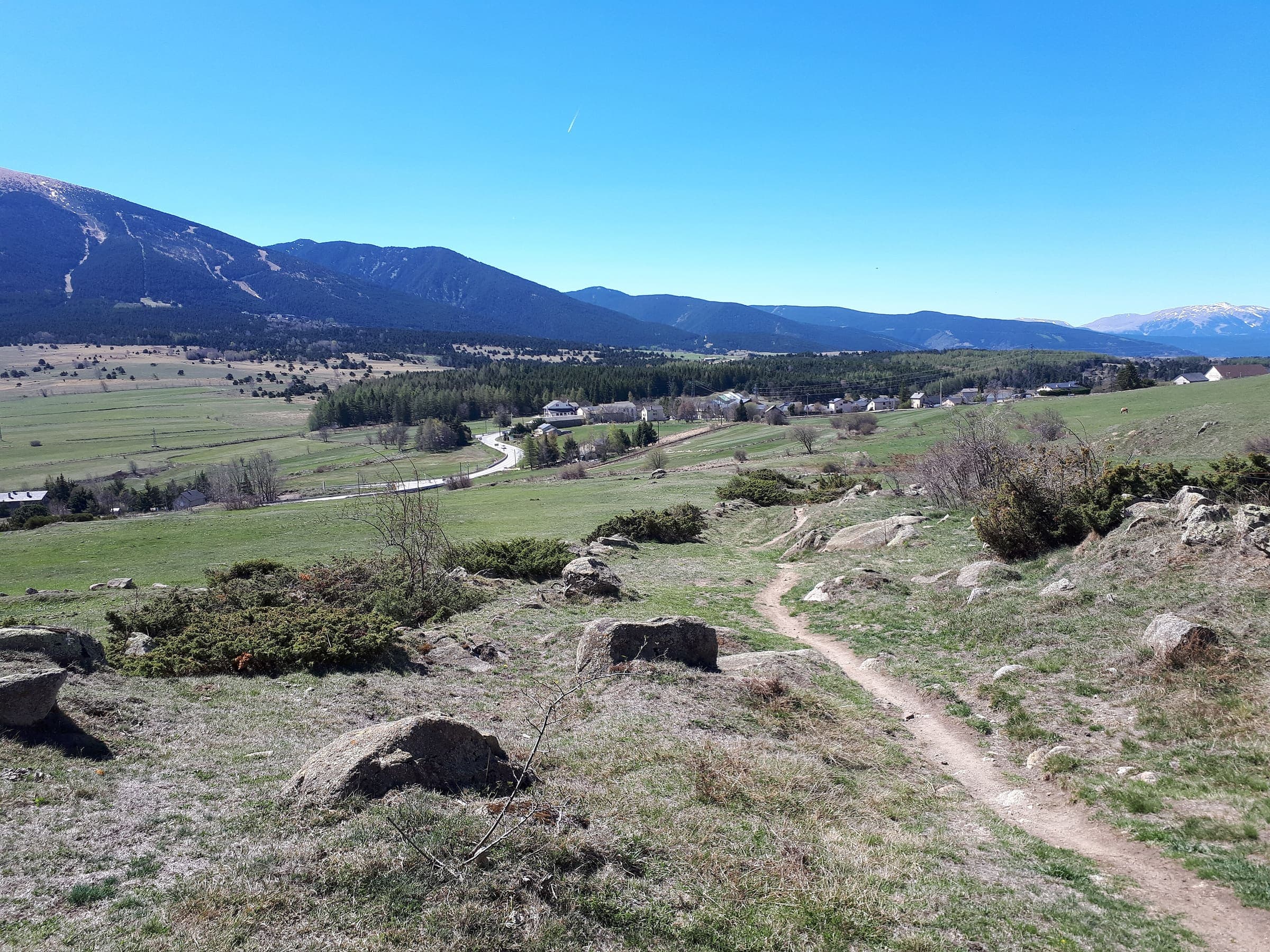
Pyrenees
GR 10
OSM hiking route across the French Pyrenees (925.9 km line), Hendaye to Banyuls-sur-Mer. Vertical figures sampled from Copernicus GLO-30.
Distance 925.9 km Reported · Ascent provisional (DEM sample) · High point provisional (DEM sample) · 50d · SAC T3
Gilgit-Baltistan
K2 Base Camp / Concordia
Curated schematic — not walking distance. Pin-to-pin OSM named-waypoint line from Askole via Concordia to K2 Base Camp, 74.2 km. Not a summit line to K2. Vertical figures are a GLO-30 sample of those pins, not a walking profile. typicalDays 14 is a published two-week window (typical, not a statute).
Distance 74.2 km provisional (round figure) · High point provisional (DEM sample) · 14d · SAC T3

Grand Canyon
Grand Canyon Rim to Rim
Schematic North Kaibab trailhead, Phantom Ranch, Bright Angel trailhead. Not a GPS track. DEM high 2,512 m at the North Rim, low 770 m at Phantom Ranch. South Kaibab is an alternate south-rim leg and is not merged. Corridor OSM relations stay related, not this line.
Distance 35 km provisional (round figure) · High point provisional (DEM sample) · 1d · SAC T3

Sierra Nevada
Half Dome
Schematic Happy Isles to the Half Dome summit. Not a GPS track. Cited round trip about 24 km is editorial. DEM high 2,646 m governs; the cables are a landmark, not this line.
Distance 24 km provisional (round figure) · High point provisional (DEM sample) · 1d · SAC T3

Havasupai
Havasu Falls
Schematic Hualapai Hilltop, Supai, Havasu Falls. Not a GPS track. DEM high 1,588 m is the hilltop, low 863 m at the falls. Wikidata Q5683183. Overnight package is the itinerary, not a day hike.
Distance 32 km provisional (round figure) · High point provisional (DEM sample) · T3 · schematic

Peaks of the Balkans
Grunas Waterfall
Schematic Theth to the Grunas hamlet pin. The waterfall object itself was unconfirmed. Not a GPS track. Return is not doubled.
Distance 2.33 km provisional (pin-to-pin derivation) · High point provisional (DEM sample) · 1d · SAC T2
Victoria
Grampians Peaks Trail
OSM relation 11370594, Mount Zero to Dunkeld, endpoint-stitched. Short spurs under 1.4 km were omitted. Cited about 160 km. Booked overnight sites.
Distance 160 km provisional (round figure) · High point provisional (DEM sample) · T3 · schematic
Los Glaciares
Huemul Circuit
Loop from OSM relation 9365907 (Vuelta al Huemul), endpoint-stitched and left as a closed line. Los Glaciares.
Distance 63.35 km Reported · Ascent provisional (DEM sample) · High point provisional (DEM sample) · 1d · SAC T4
Maharashtra
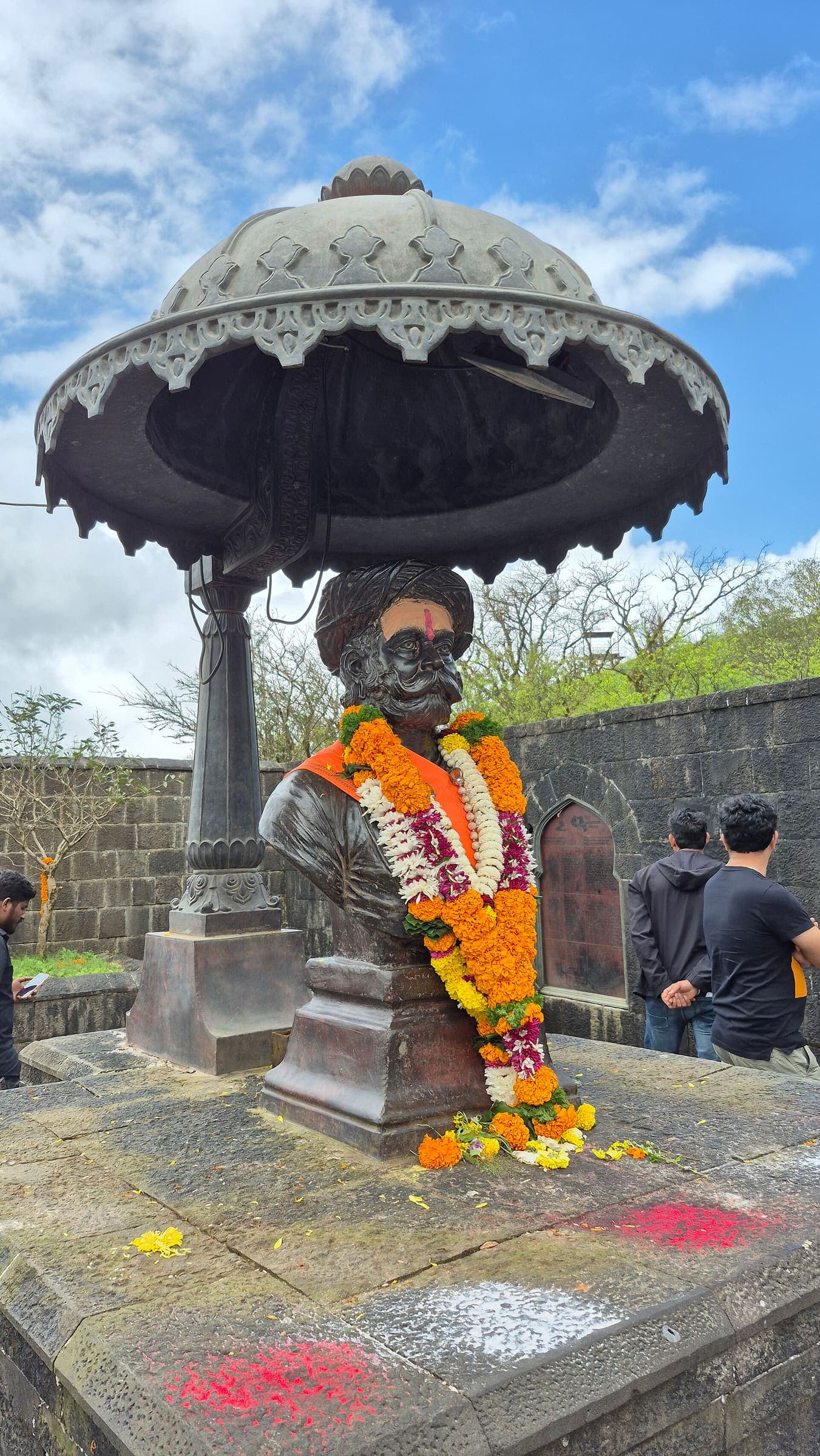
Kalsubai
Highest peak in Maharashtra. Published trek distance 13.2 km (Wikipedia, provisional). Mapped geometry is the partial OSM Bari upper path (2.94 km), not the full walk. Vertical figures from the GLO-30 resample. Days unknown.
Distance 13.2 km Reported · Ascent provisional (DEM sample) · High point provisional (DEM sample) · T2 · schematic
Uttarakhand
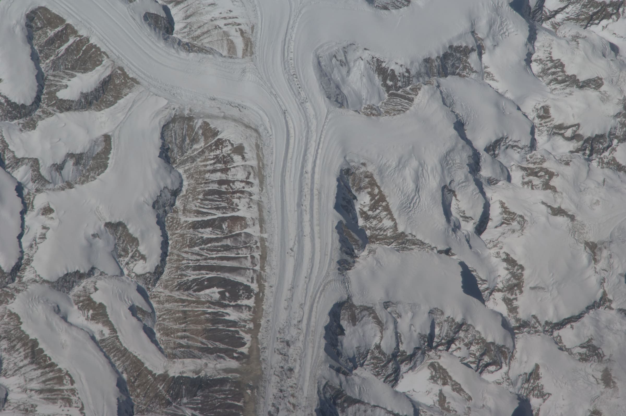
Har Ki Dun
Curated schematic — not walking distance. Pin-to-pin OSM named-waypoint line Sankri → Taluka → Osla → Har Ki Dun along Supin / Harkidun Gad. No asserted itinerary kilometre. High 3,566 m is the Wikipedia valley landmark. Seven days (GMVN).
Distance 25 km provisional (round figure) · High point Reported · 7d · SAC T2
Maharashtra
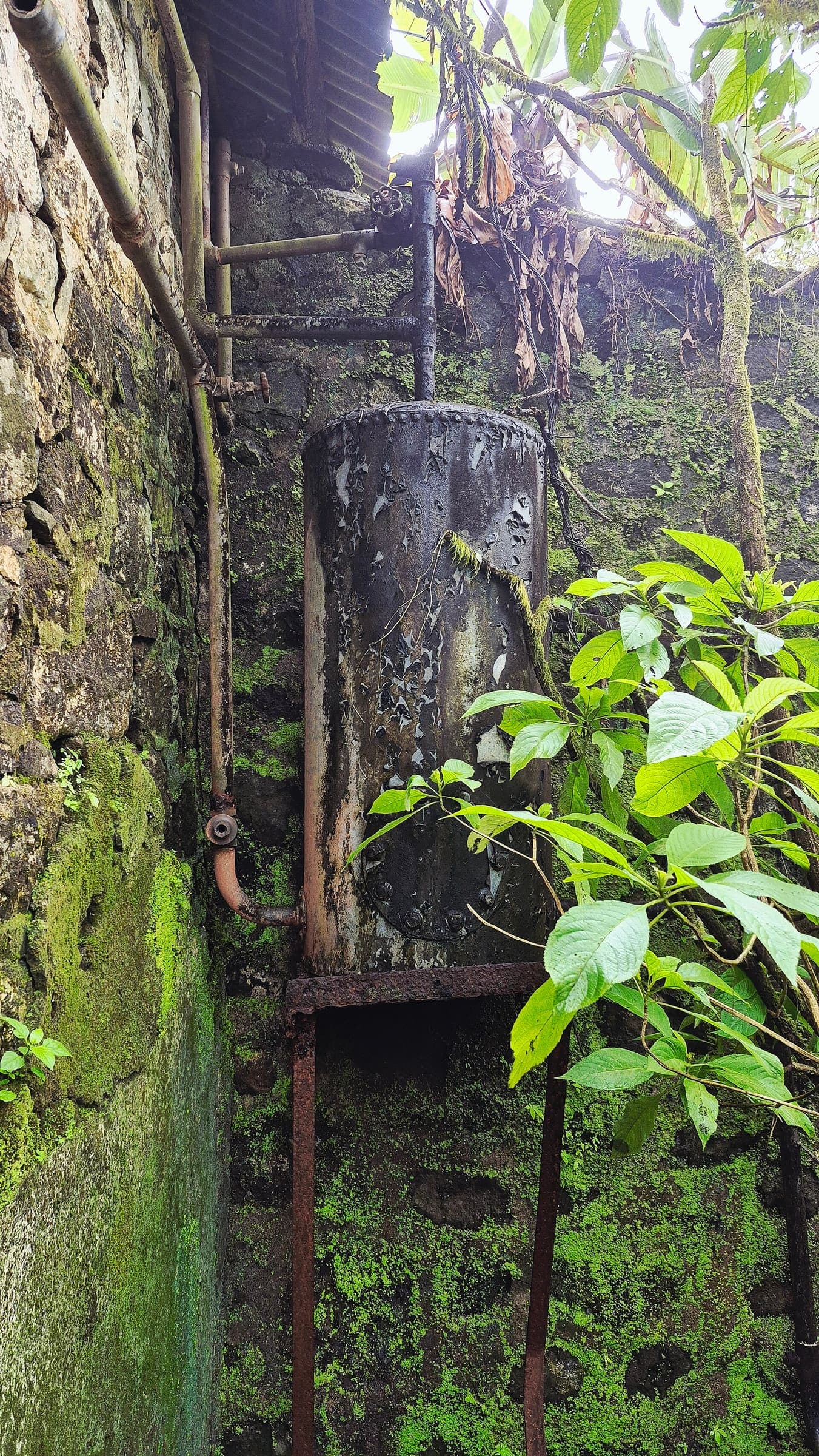
Harihar Fort
Curated schematic — not walking distance. Pin-to-pin OSM named-waypoint line Harshewadi → Harihar Fort. Famous rock-cut steps. No asserted itinerary kilometre. High 951 m is the sheet DEM at the peak pin. Days unknown.
Distance 1.1 km provisional (round figure) · High point provisional (DEM sample) · T2 · schematic
Maharashtra
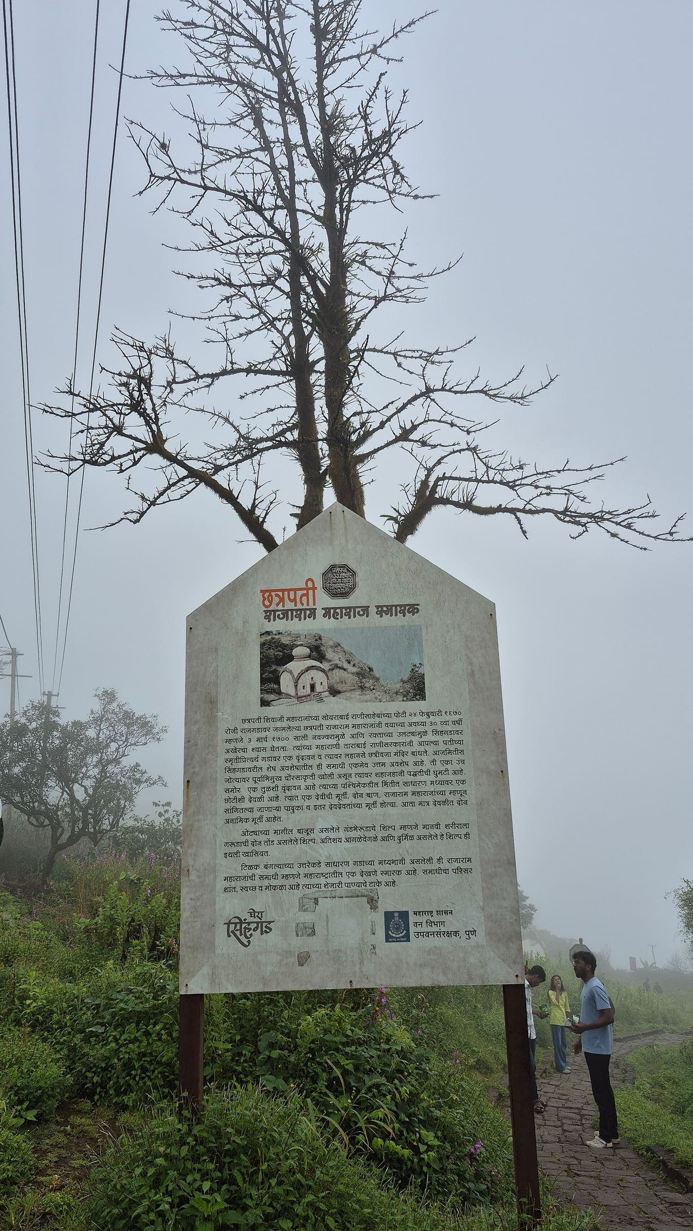
Harishchandragad
Curated schematic — not walking distance. Pin-to-pin OSM named-waypoint line Khireshwar → Harishchandragad Fort → Kokankada. No asserted itinerary kilometre. High 1,349 m is the sheet DEM at the fort node. Days unknown.
Distance 5.3 km provisional (round figure) · High point provisional (DEM sample) · T2 · schematic
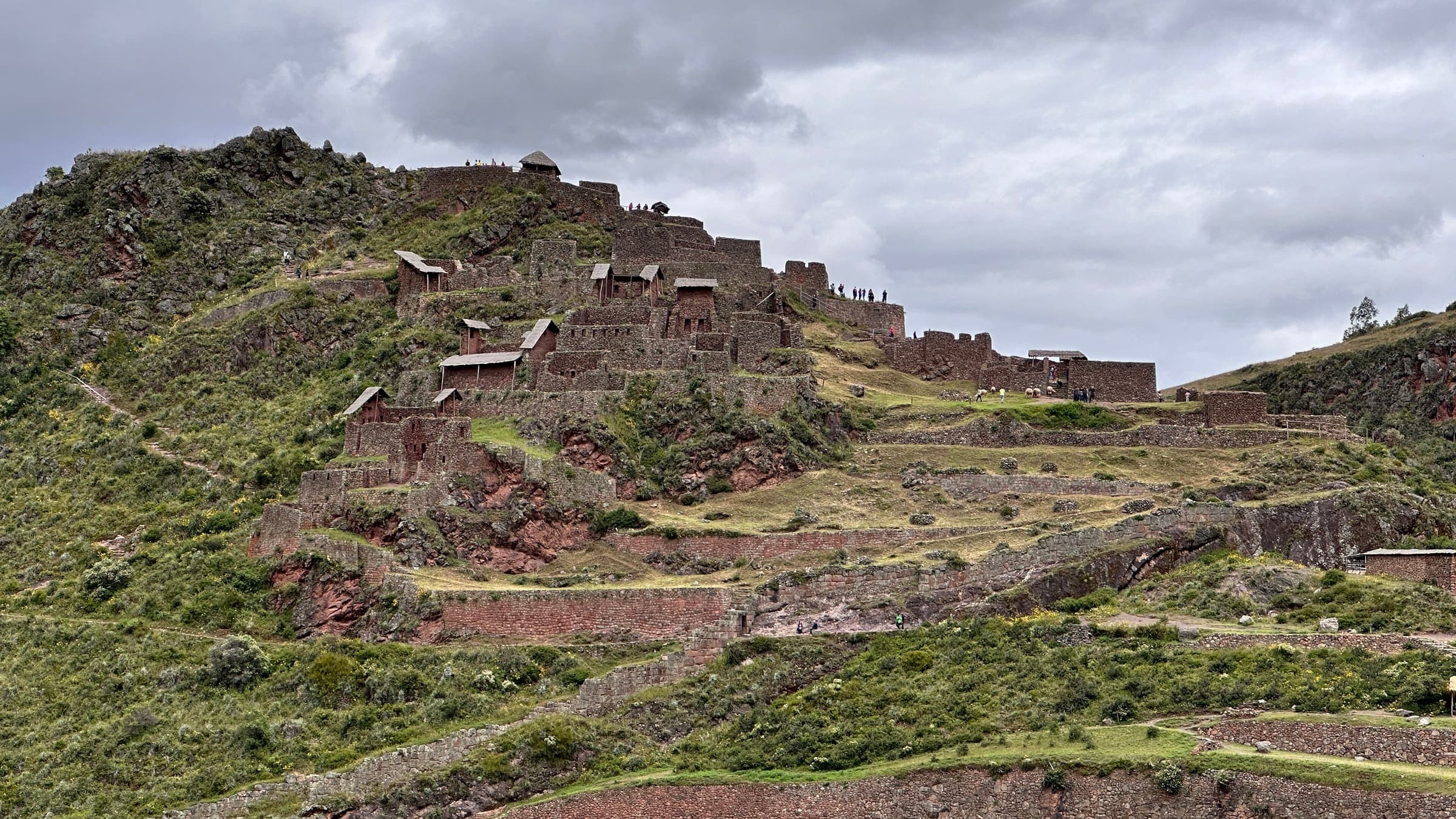
Cusco
Huchuy Qosqo
Curated schematic — not walking distance. Pin-to-pin OSM named-waypoint line Tauca → Huchuy Qosqo site → Lamay. Cited itinerary ~17 km (provisional, secondary). No formal government permit (reported secondary). High 4,200 m is the Pumamarca Pass landmark, omitted from the line.
Distance 17 km Reported · High point Reported · 2d · SAC T2