
Trail records
Filter by country, access, region, distance, days, and SAC. Every card is a sourced record, not a crowd-drawn track dump. A–Z directory
Filters
36 of 36 · 36 edited records shown
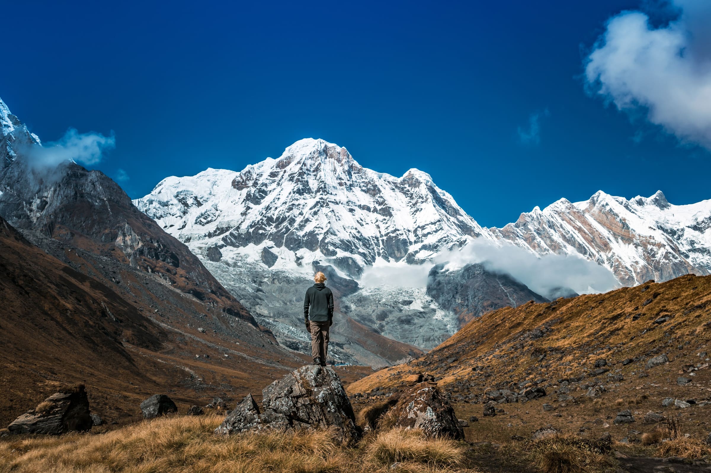
Annapurna
Dudh Pokhari Lake
OSM hiking route in the Annapurna region (26.5 km line). Vertical figures sampled from Copernicus GLO-30.
Distance 26.5 km Reported · High point provisional (DEM sample) · T2 · OSM route
Khumbu
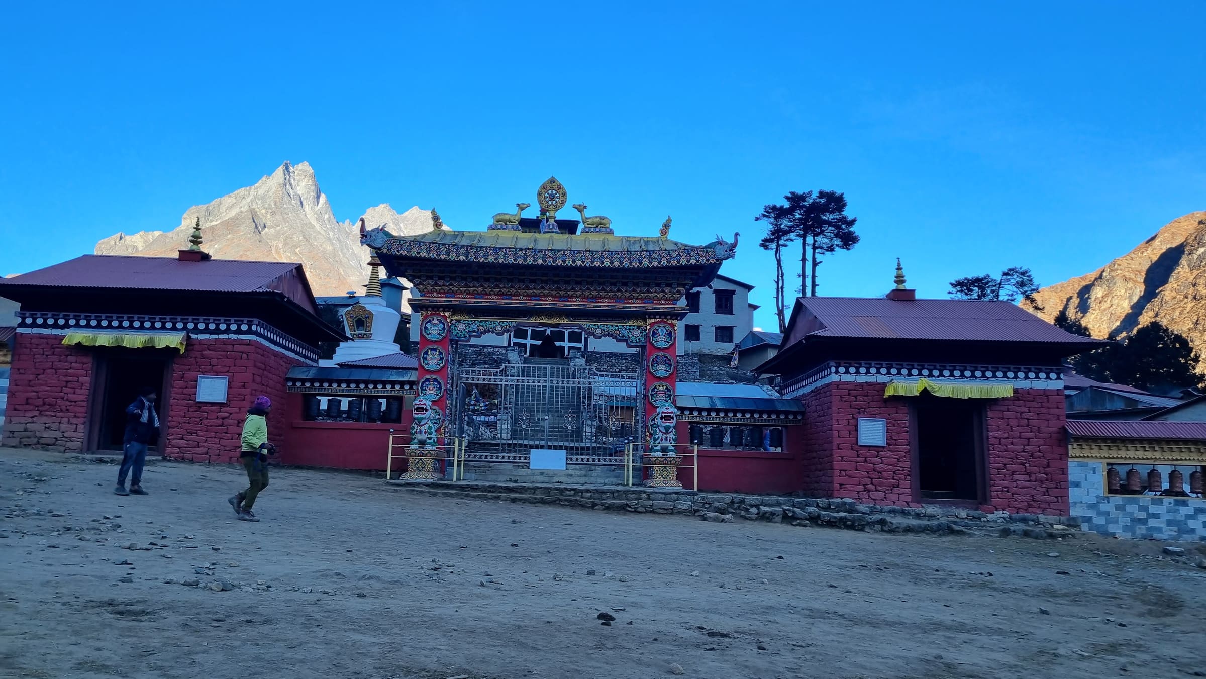
Everest Base Camp
OSM hiking route Everest Base Camp, Nepal (53.72 km line). out-and-back; one-way 53.72 km, round-trip 107.44 km in prose. Permits are the headline (official NTB/NTNC 2026-09-21). Vertical figures from the Wave N GLO-30 resample.
Distance 53.72 km Reported · Ascent provisional (DEM sample) · High point provisional (DEM sample) · 12d · SAC T2
Khumbu
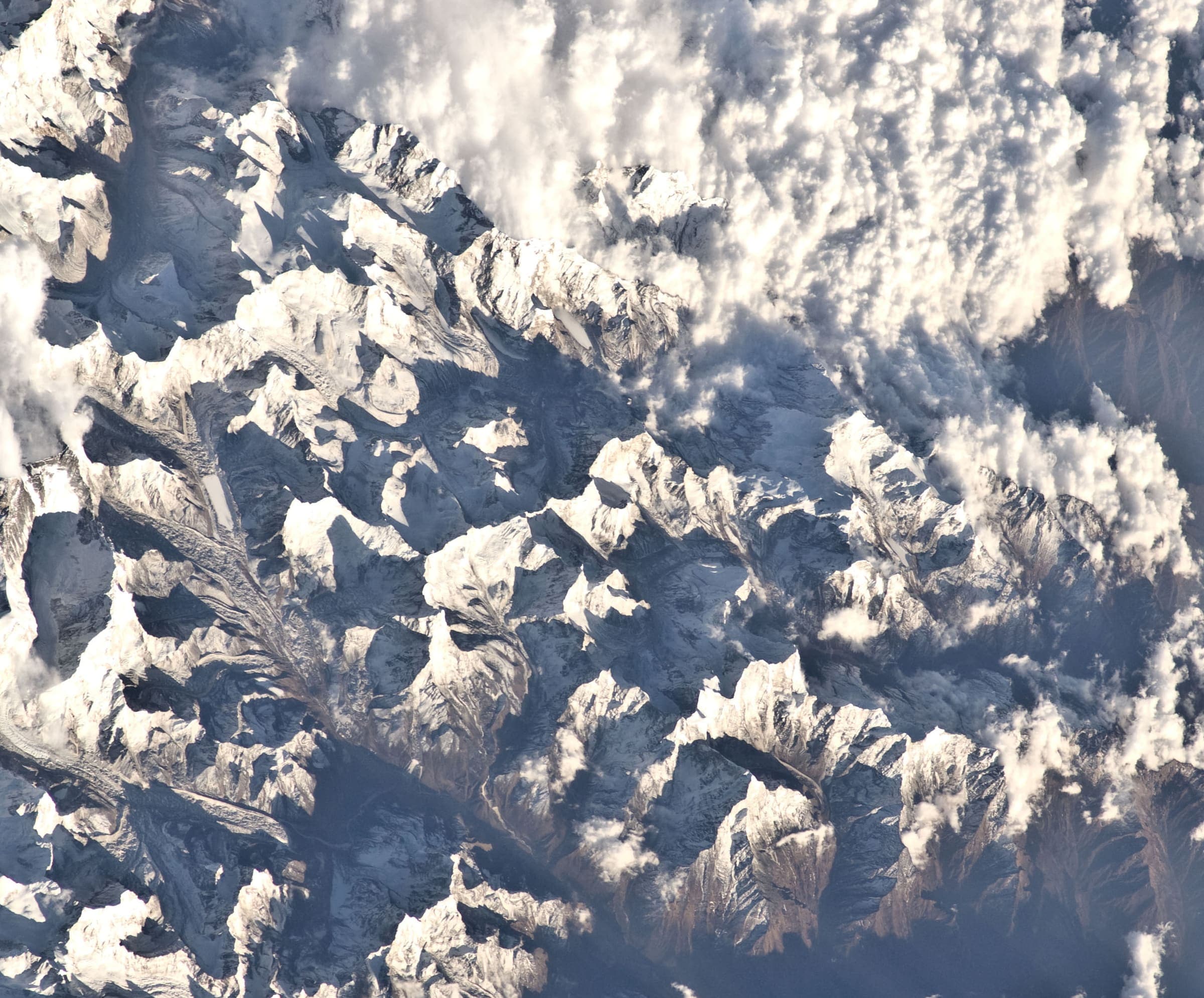
Everest Three Passes
OSM hiking route Everest Three Passes, Nepal (99.22 km line). Permits are the headline (official NTB/NTNC 2026-09-21). Vertical figures from the Wave N GLO-30 resample.
Distance 99.22 km Reported · Ascent provisional (DEM sample) · High point provisional (DEM sample) · 18d · SAC T2
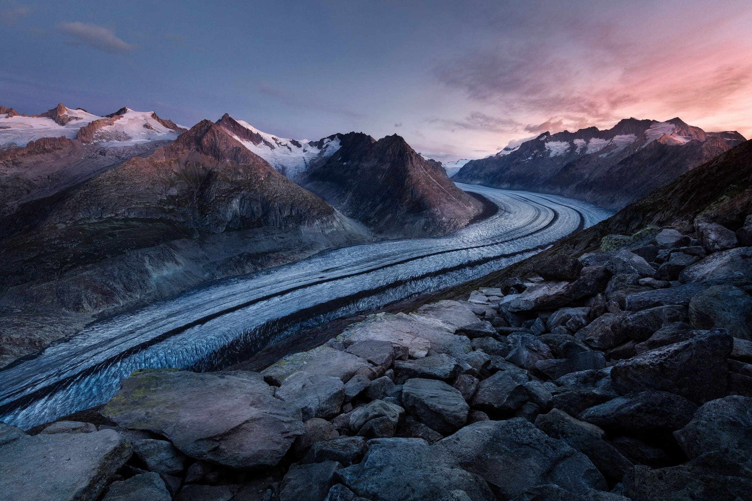
Valais
Chemin des Bisses
Reported OSM relation: SchweizMobil regional hiking route 58, Chemin des Bisses, Col des Planches to Grimentz, 105 km OSM 2-D. Vertical figures sampled from Copernicus GLO-30.
Distance 105 km Reported · High point provisional (DEM sample) · T2 · OSM route
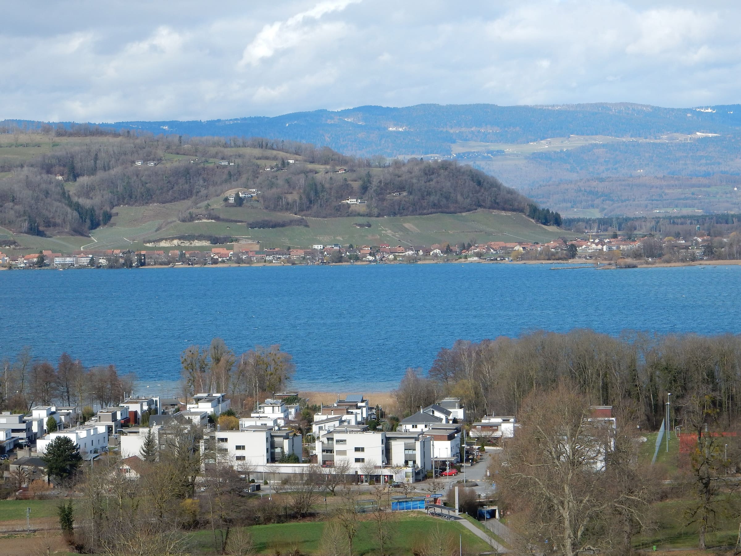
Vaud
Chemin des Trois-Lacs
Reported OSM relation: SchweizMobil regional hiking route 71, Chemin des Trois-Lacs, Yverdon-les-Bains to Murten, 62.4 km OSM 2-D. Vertical figures sampled from Copernicus GLO-30.
Distance 62.4 km Reported · High point provisional (DEM sample) · T2 · OSM route
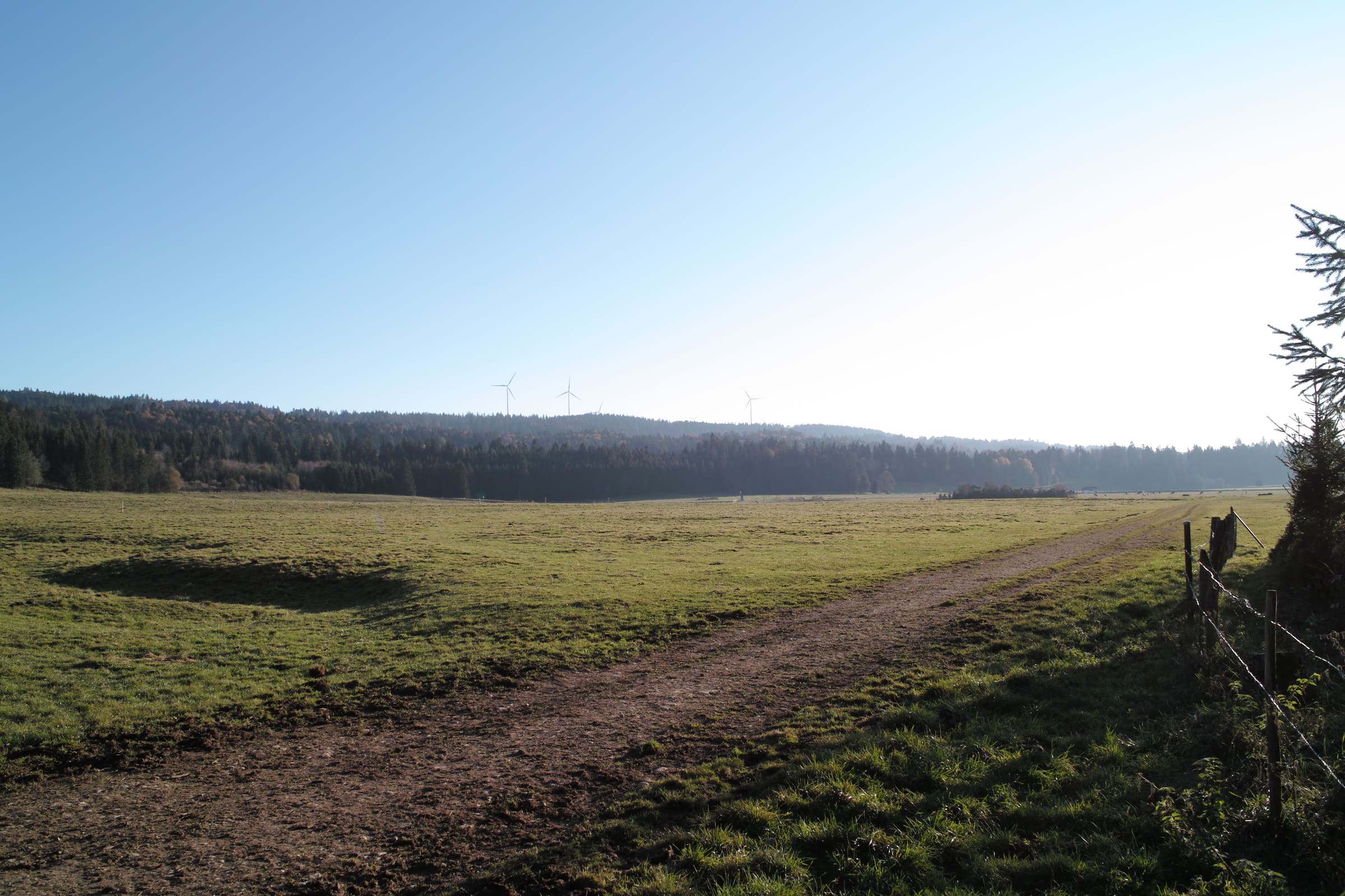
Jura
Chemin du Jura
Reported OSM relation: SchweizMobil regional hiking route 31, Chemin du Jura, Delémont to Saignelégier, 93.2 km OSM 2-D. Vertical figures sampled from Copernicus GLO-30.
Distance 93.2 km Reported · High point provisional (DEM sample) · T2 · OSM route
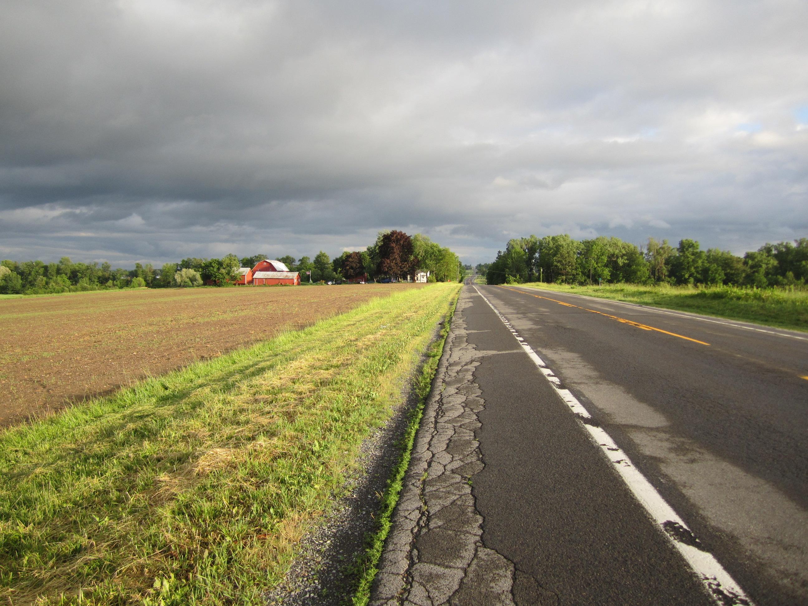
Bern
Chemin du Jura bernois
Reported OSM relation: SchweizMobil regional hiking route 91, Chemin du Jura bernois, Moutier to La Chaux-de-Fonds, 64.3 km OSM 2-D. Vertical figures sampled from Copernicus GLO-30.
Distance 64.3 km Reported · High point provisional (DEM sample) · T2 · OSM route
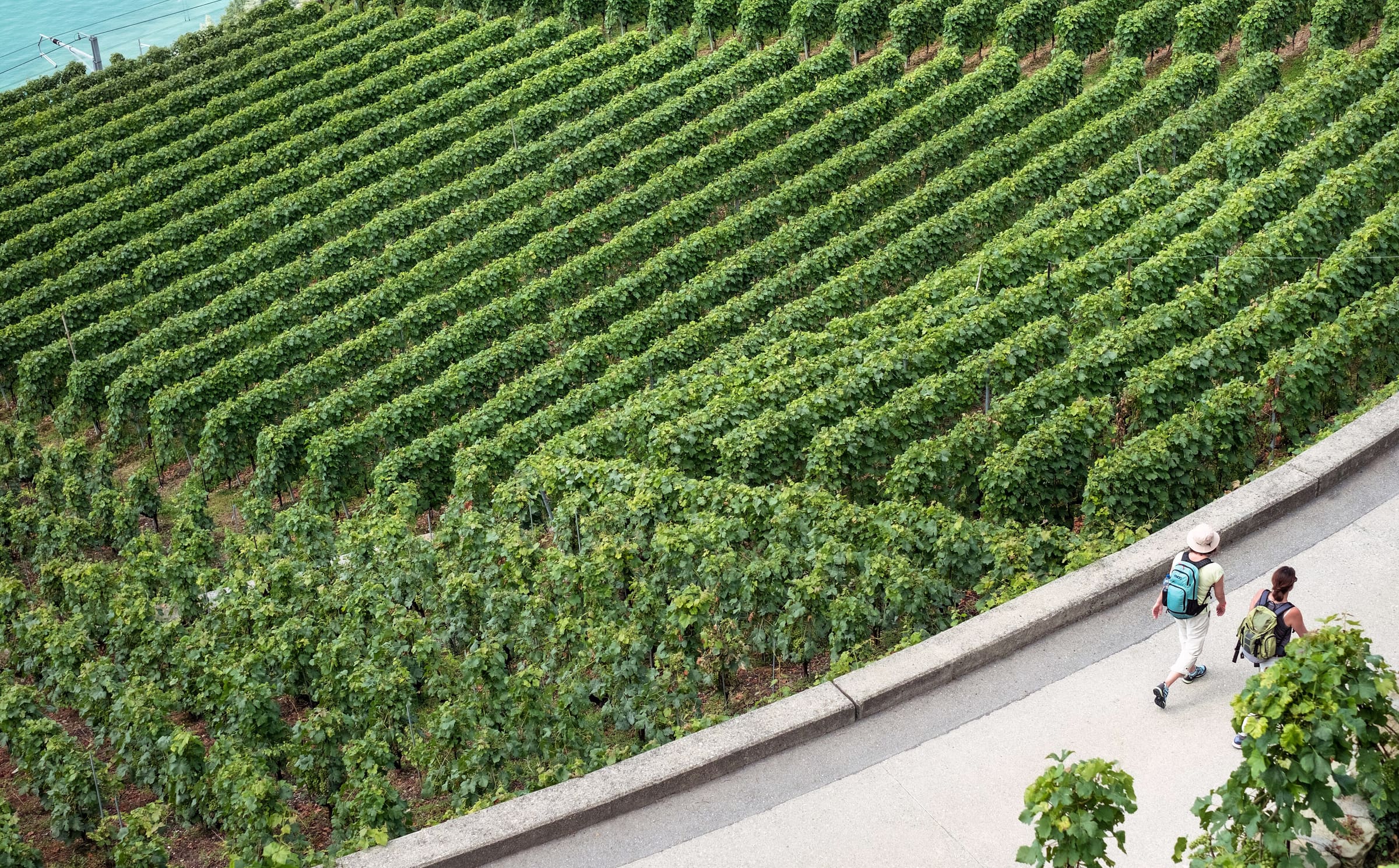
Valais
Chemin du vignoble
Reported OSM relation: SchweizMobil regional hiking route 36, Chemin du vignoble, Martigny to Leuk, 65.9 km OSM 2-D. Vertical figures sampled from Copernicus GLO-30.
Distance 65.9 km Reported · High point provisional (DEM sample) · T2 · OSM route
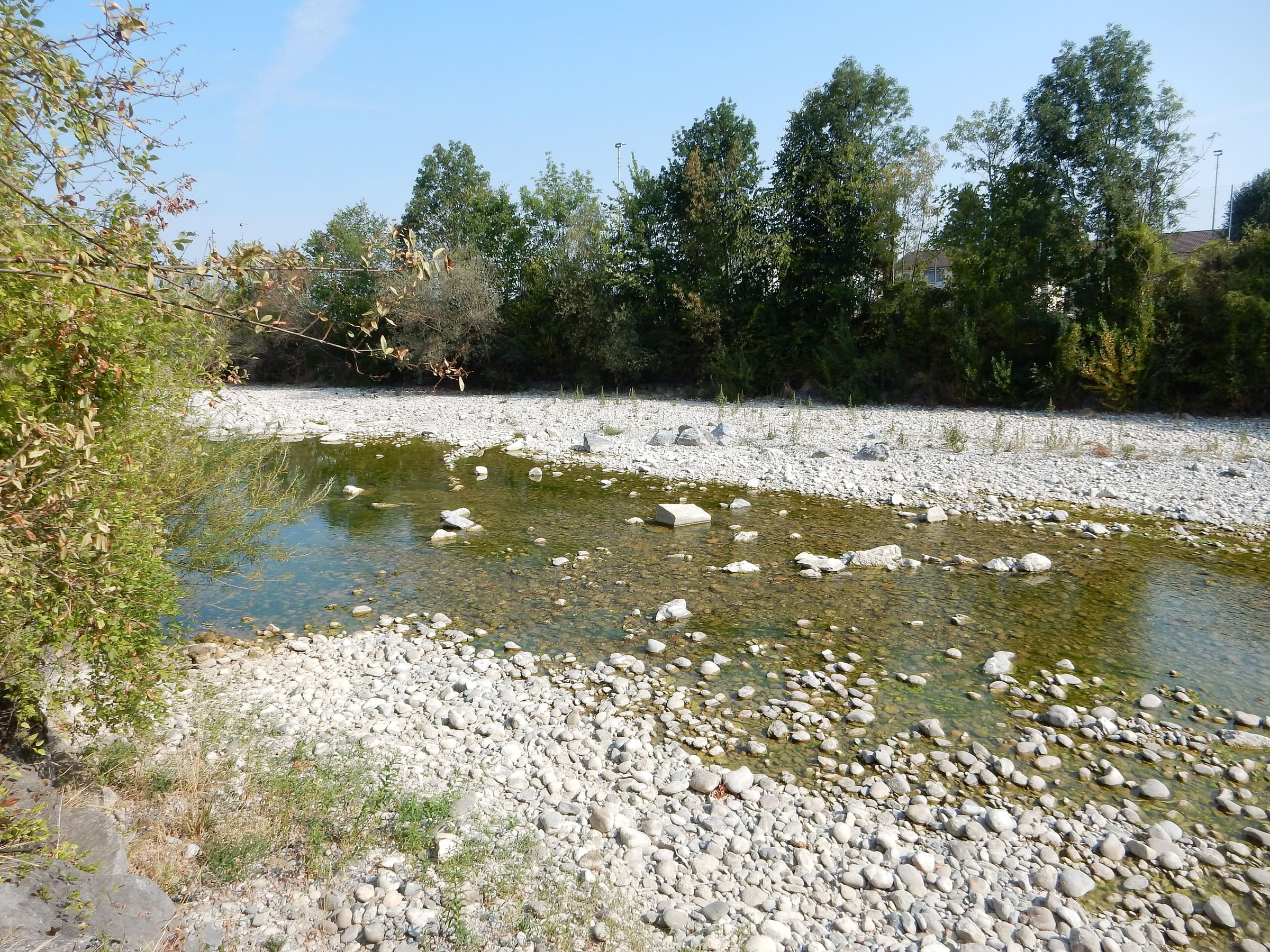
Lucerne
Emmenuferweg
Reported OSM relation: SchweizMobil regional hiking route 83, Emmenuferweg, Brienzer Rothorn to Emmenbrücke, 63.6 km OSM 2-D. Vertical figures sampled from Copernicus GLO-30.
Distance 63.6 km Reported · High point provisional (DEM sample) · T2 · OSM route
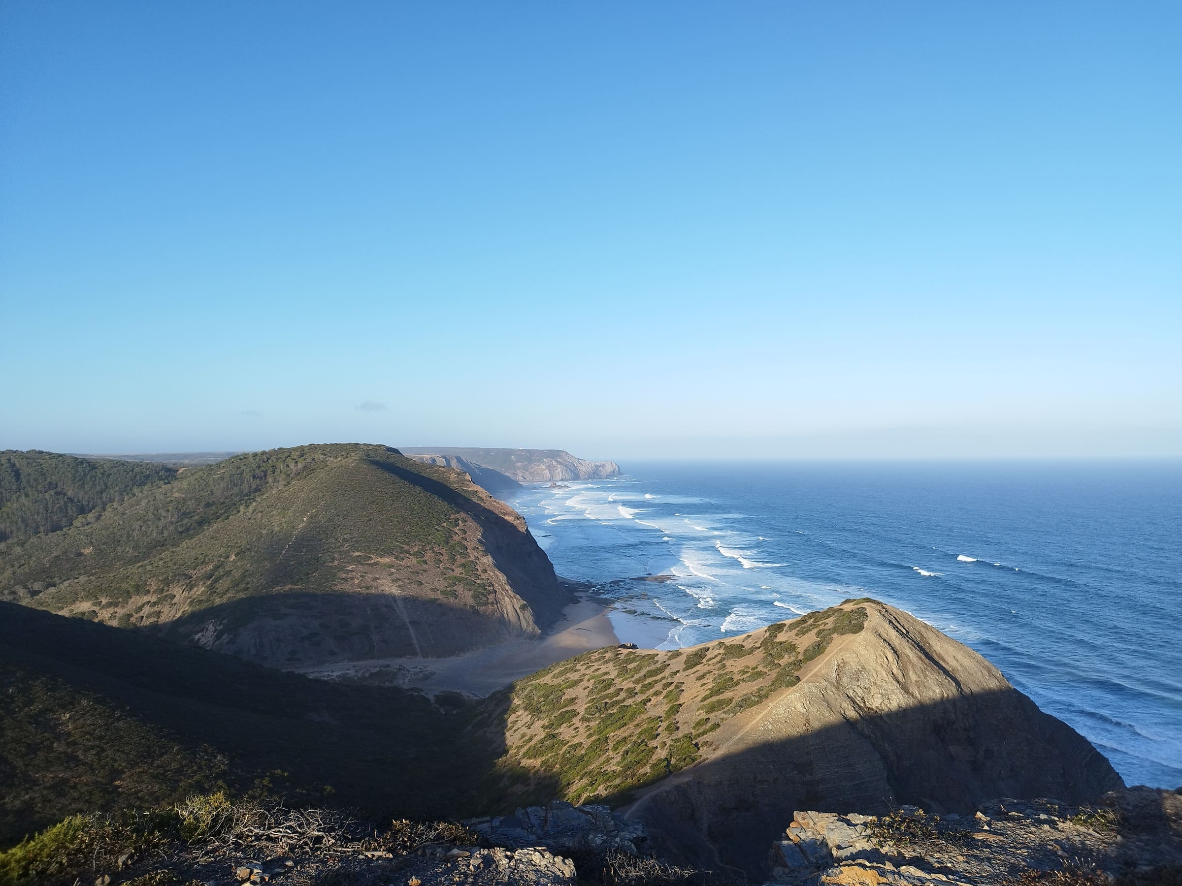
Southwest Alentejo & Vicentine Coast
Fishermen's Trail
OSM hiking route along Portugal's southwest Atlantic coast (222.1 km line), São Torpes to Lagos. Vertical figures sampled from Copernicus GLO-30.
Distance 222.1 km Reported · High point provisional (DEM sample) · 13d · SAC T1
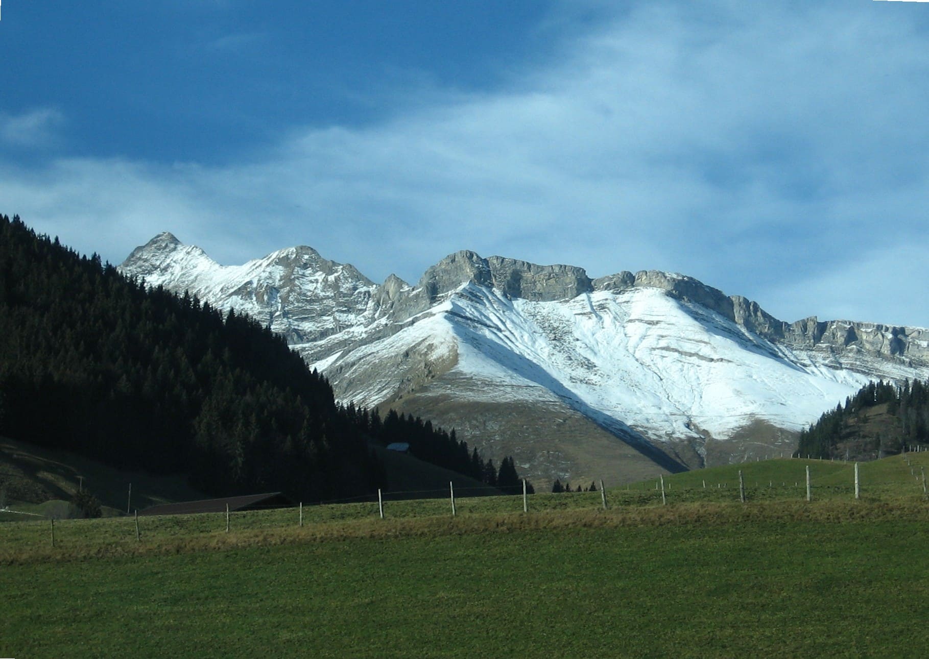
Fribourg
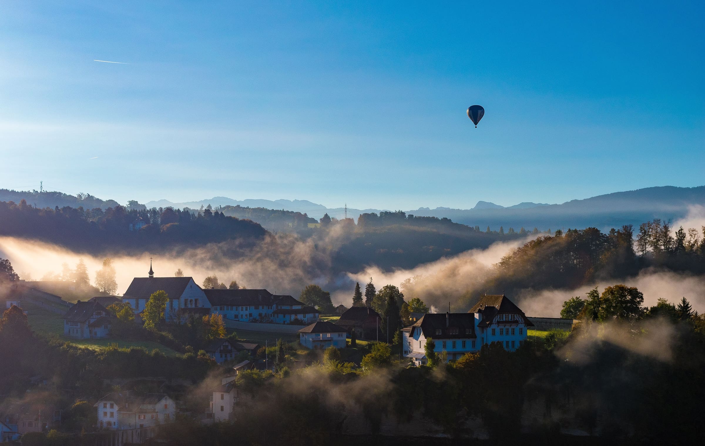
Freiburger Voralpenweg
Reported OSM relation: SchweizMobil regional hiking route 78, Freiburger Voralpenweg, Fribourg to Château-d'Oex, 71.9 km OSM 2-D. Vertical figures sampled from Copernicus GLO-30.
Distance 71.9 km Reported · High point provisional (DEM sample) · T2 · OSM route
Fribourg
Fribourg en diagonale
Reported OSM relation: SchweizMobil regional hiking route 81, Fribourg en diagonale, Gruyères to Murten, 68.1 km OSM 2-D. Vertical figures sampled from Copernicus GLO-30.
Distance 68.1 km Reported · High point provisional (DEM sample) · T2 · OSM route
Valais
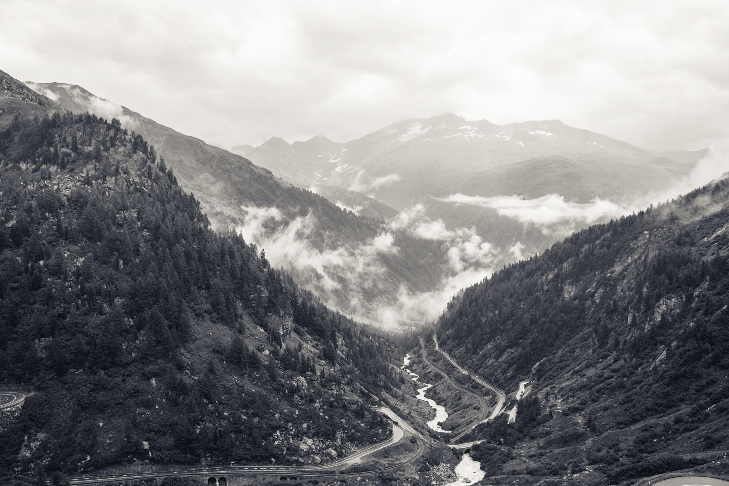
Furka-Höhenweg
Reported OSM relation: SchweizMobil regional hiking route 51, Furka-Höhenweg, Oberwald to Andermatt, 34.2 km OSM 2-D. Vertical figures sampled from Copernicus GLO-30.
Distance 34.2 km Reported · Ascent provisional (DEM sample) · High point provisional (DEM sample) · T2 · OSM route
Cusco
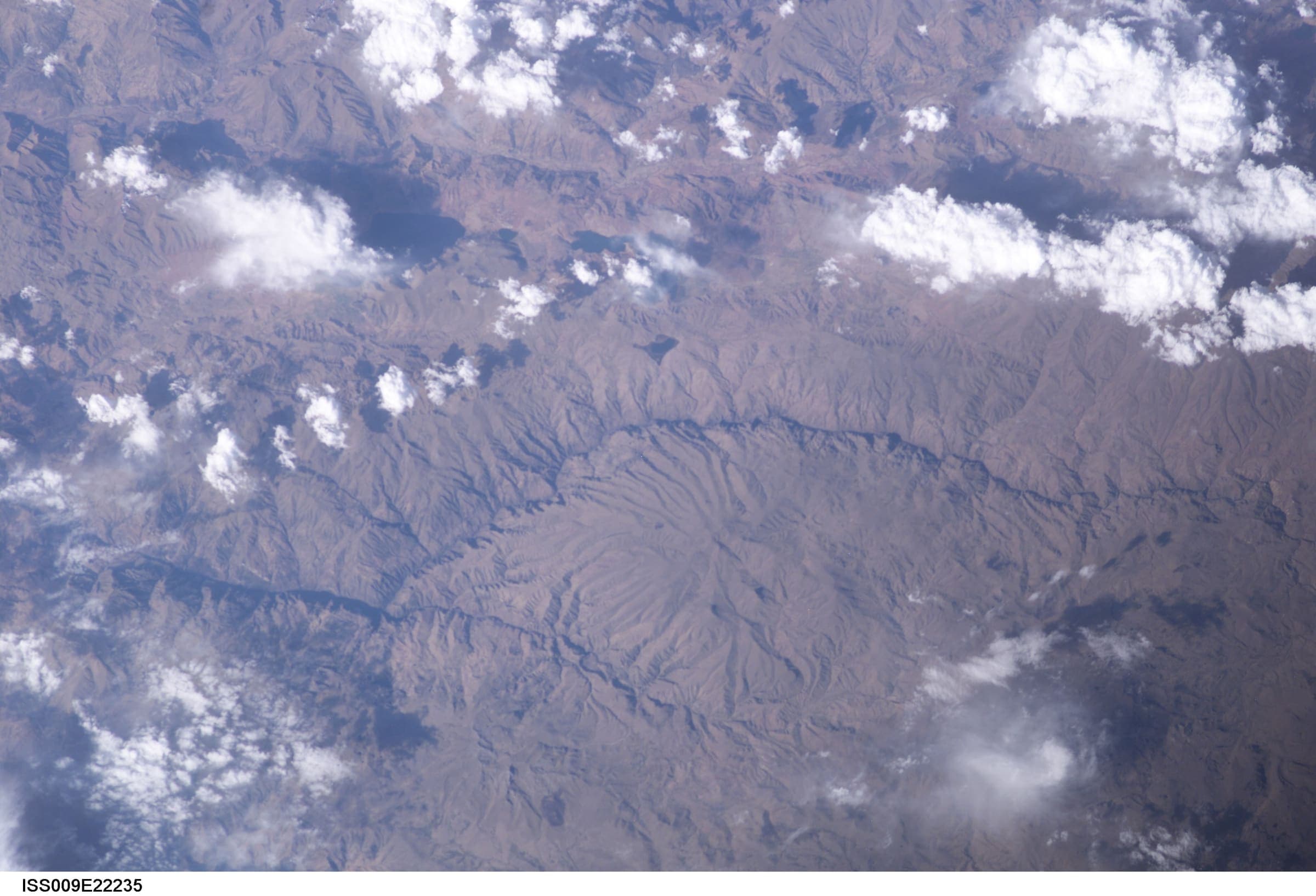
Choquequirao Trek
Out-and-back Cachora to Choquequirao (OSM relation 2072730). Published one-way 29.5 km; the same line walked back is 59.01 km and is not stored twice. Cusco / Apurímac. DEM high 2,945 m is the line max; the ruins landmark is ~3,050 m.
Distance 29.5 km Reported · Ascent provisional (DEM sample) · High point provisional (DEM sample) · 4d · SAC T1
Maharashtra
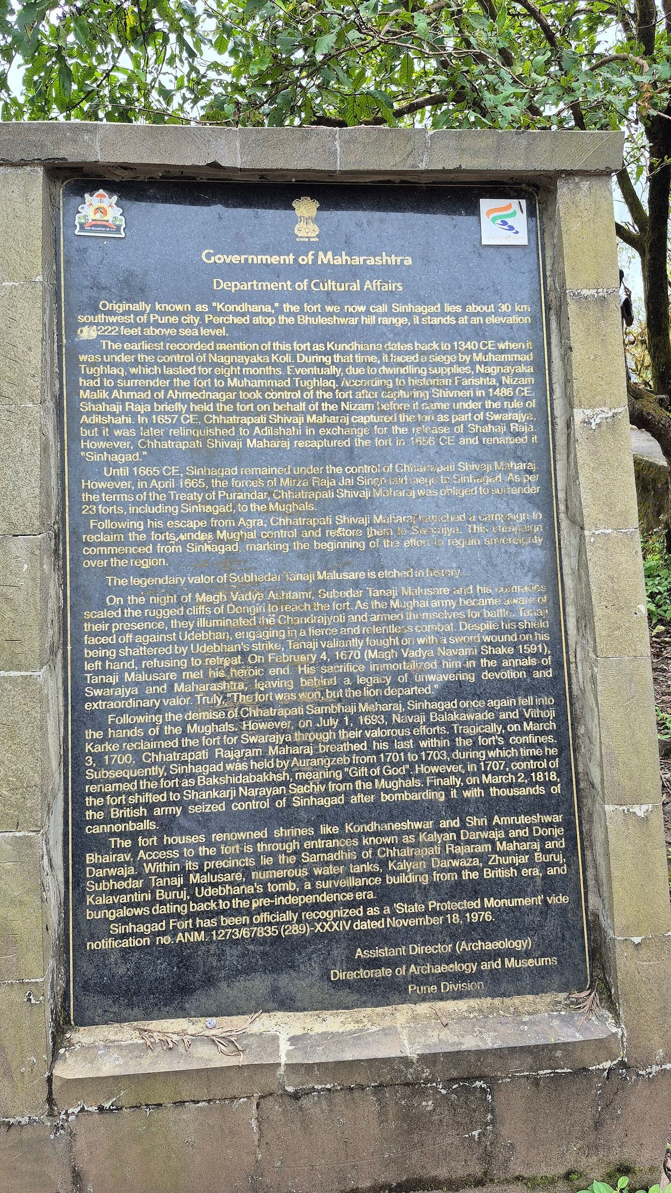
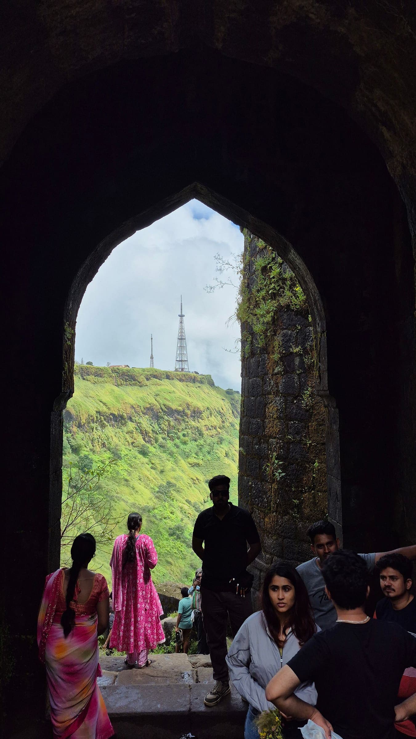
Chandwad Fort
OSM hiking route Chandwad Fort, Maharashtra (5.82 km line). Vertical figures from the GLO-30 resample. Days unknown.
Distance 5.82 km Reported · Ascent provisional (DEM sample) · High point provisional (DEM sample) · T2 · OSM route
Maharashtra
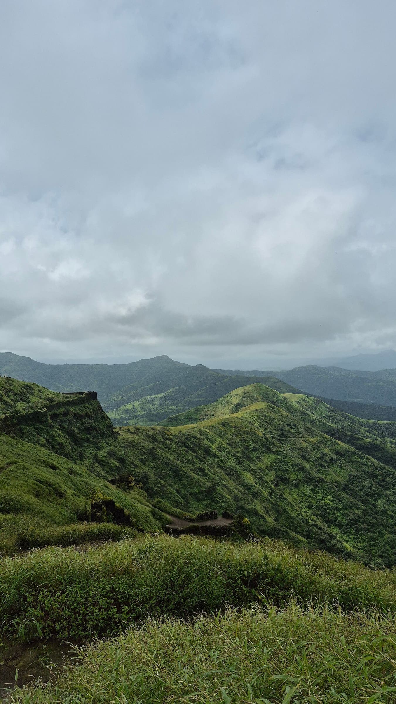
Chaulher Fort
OSM hiking route Chaulher Fort, Maharashtra (2.17 km line). out-and-back; one-way 2.17 km, round-trip 4.34 km in prose. Vertical figures from the GLO-30 resample. Days unknown.
Distance 2.17 km Reported · Ascent provisional (DEM sample) · High point provisional (DEM sample) · T2 · OSM route
Maharashtra
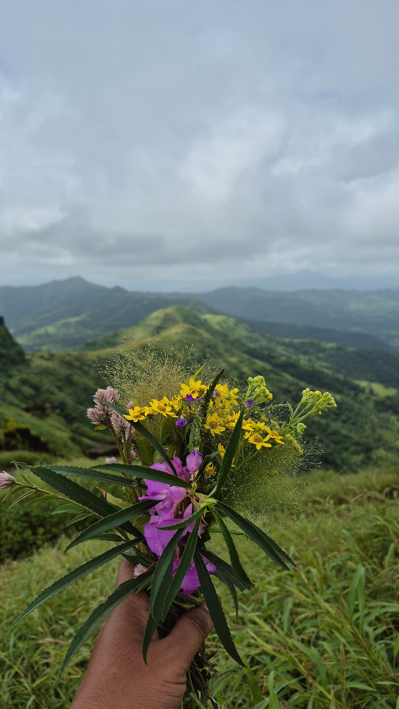
Dategad Fort
OSM hiking route Dategad Fort, Maharashtra (1.33 km line). Vertical figures from the GLO-30 resample. Days unknown.
Distance 1.33 km Reported · Ascent provisional (DEM sample) · High point provisional (DEM sample) · T2 · OSM route
Maharashtra
Devagiri Fort
OSM hiking route Devagiri Fort, Maharashtra (1.4 km line). Vertical figures from the GLO-30 resample. Days unknown.
Distance 1.4 km Reported · Ascent provisional (DEM sample) · High point provisional (DEM sample) · T2 · OSM route
Maharashtra
Dubera Fort
OSM hiking route Dubera Fort, Maharashtra (1.76 km line). out-and-back; one-way 1.76 km, round-trip 3.52 km in prose. Vertical figures from the GLO-30 resample. Days unknown.
Distance 1.76 km Reported · Ascent provisional (DEM sample) · High point provisional (DEM sample) · T2 · OSM route
Maharashtra
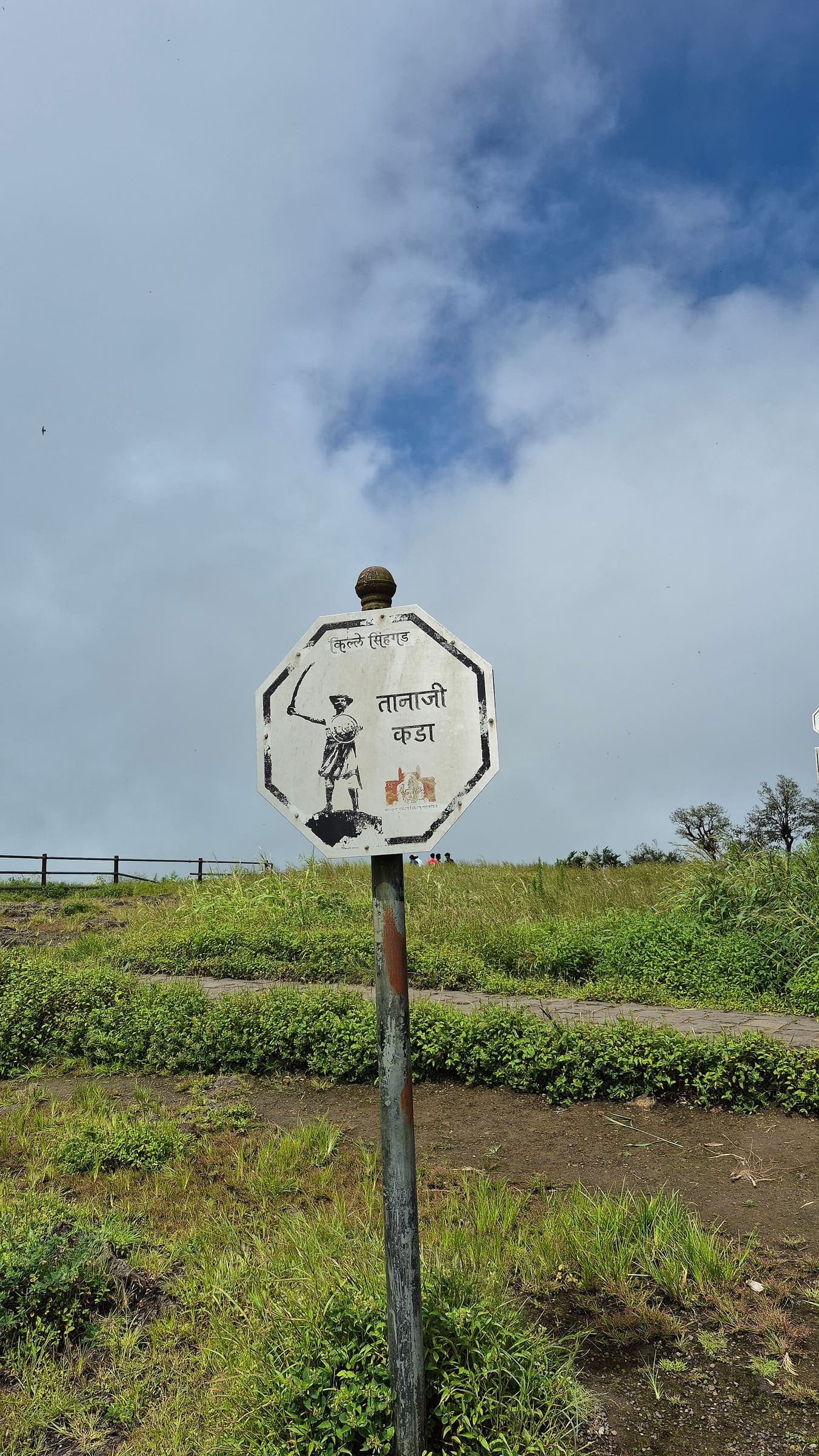
Ghangad Fort
OSM hiking route Ghangad Fort, Maharashtra (14.12 km line). out-and-back; one-way 14.12 km, round-trip 28.24 km in prose; ⚠ 2-component 372 m gap. Vertical figures from the GLO-30 resample. Days unknown.
Distance 14.12 km Reported · Ascent provisional (DEM sample) · High point provisional (DEM sample) · T2 · OSM route
Maharashtra
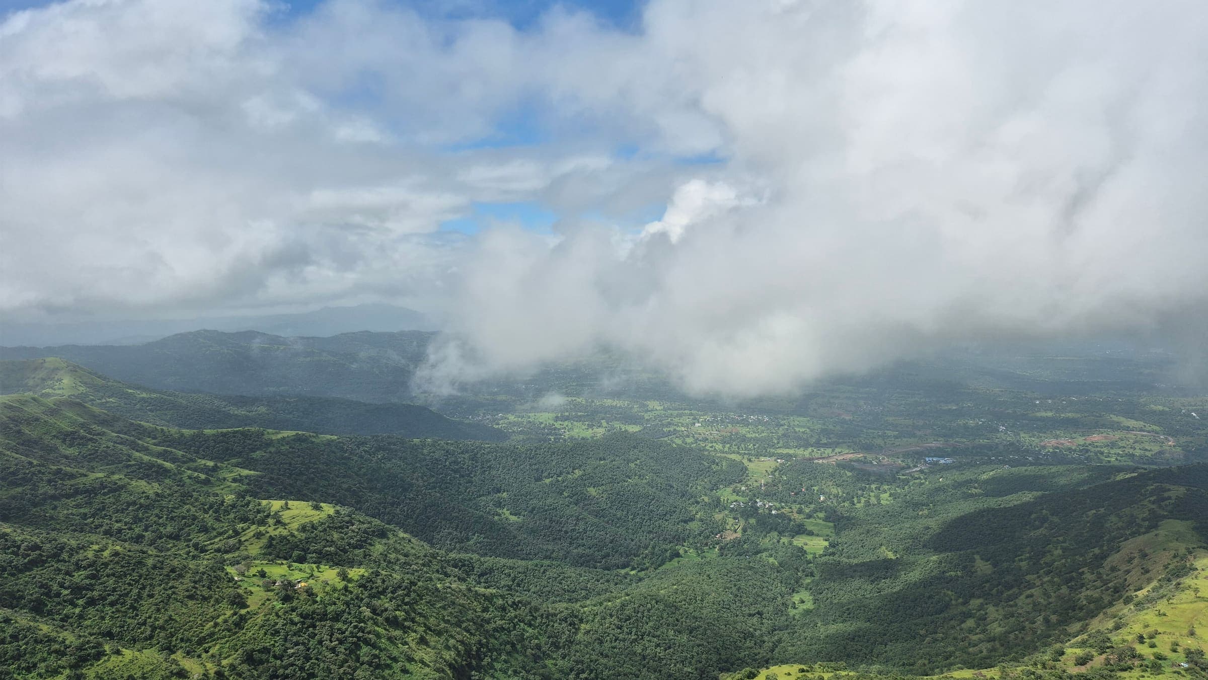
Ghera Surgad Fort
OSM hiking route Ghera Surgad Fort, Maharashtra (4.35 km line). out-and-back; one-way 4.35 km, round-trip 8.7 km in prose; ⚠ 2-component 20 m gap. Vertical figures from the GLO-30 resample. Days unknown.
Distance 4.35 km Reported · Ascent provisional (DEM sample) · High point provisional (DEM sample) · T2 · OSM route
Himachal Pradesh
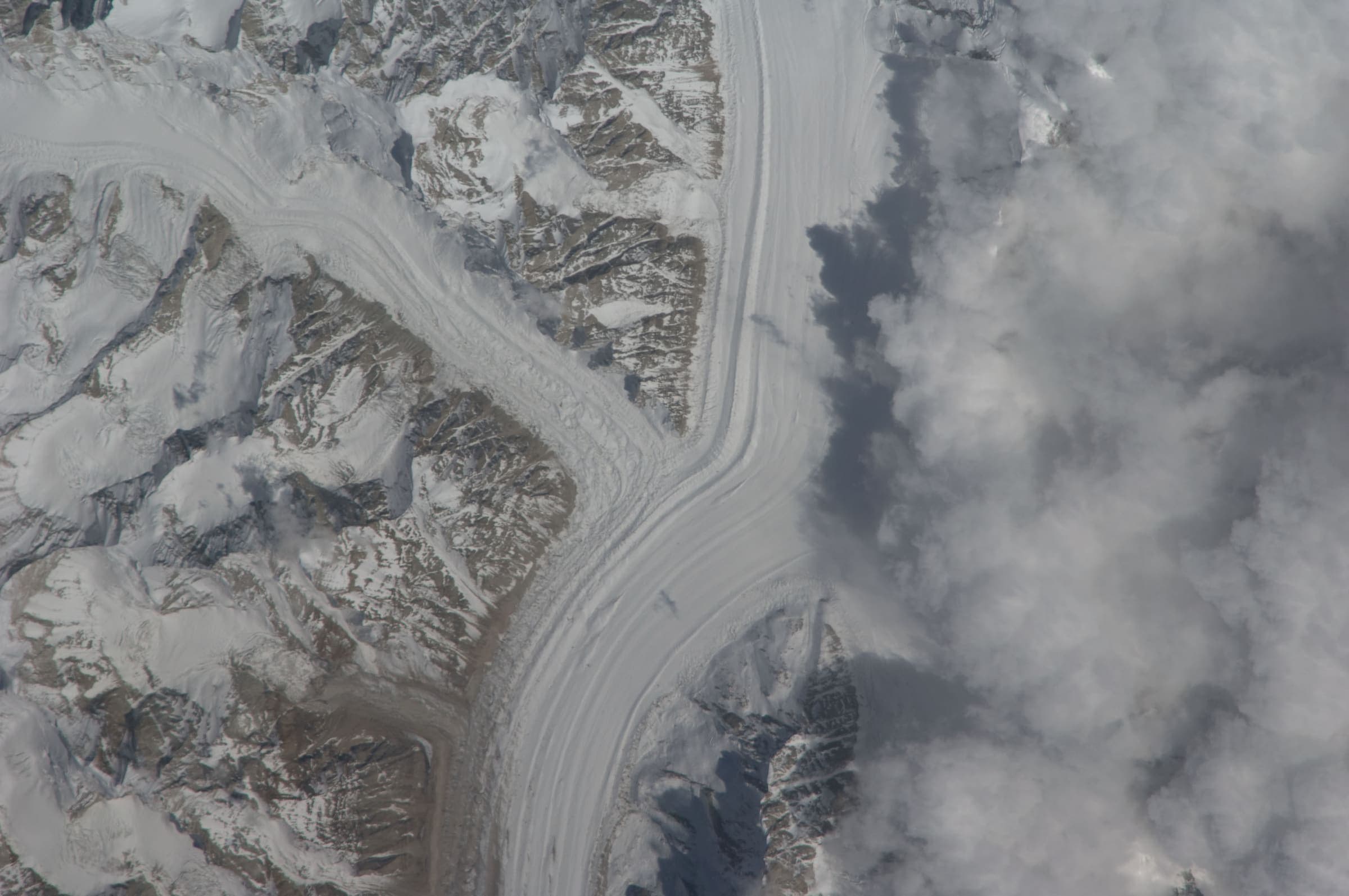
Chaurasi Pass
OSM hiking traverse Chaurasi Pass, Himachal Pradesh (43.62 km line). Village-to-village / pass path; no cited itinerary. Vertical figures from the GLO-30 resample. Days unknown.
Distance 43.62 km Reported · Ascent provisional (DEM sample) · High point provisional (DEM sample) · T2 · OSM route
Uttarakhand
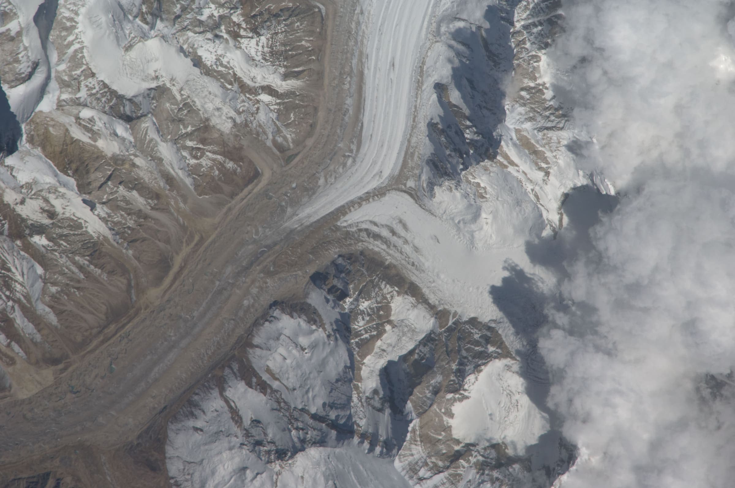
Dar to Sipu
OSM hiking segment Dar to Sipu, Uttarakhand (38.24 km line). Village-to-village path; no cited itinerary. Vertical figures from the GLO-30 resample. Days unknown.
Distance 38.24 km Reported · Ascent provisional (DEM sample) · High point provisional (DEM sample) · T2 · OSM route
Uttarakhand
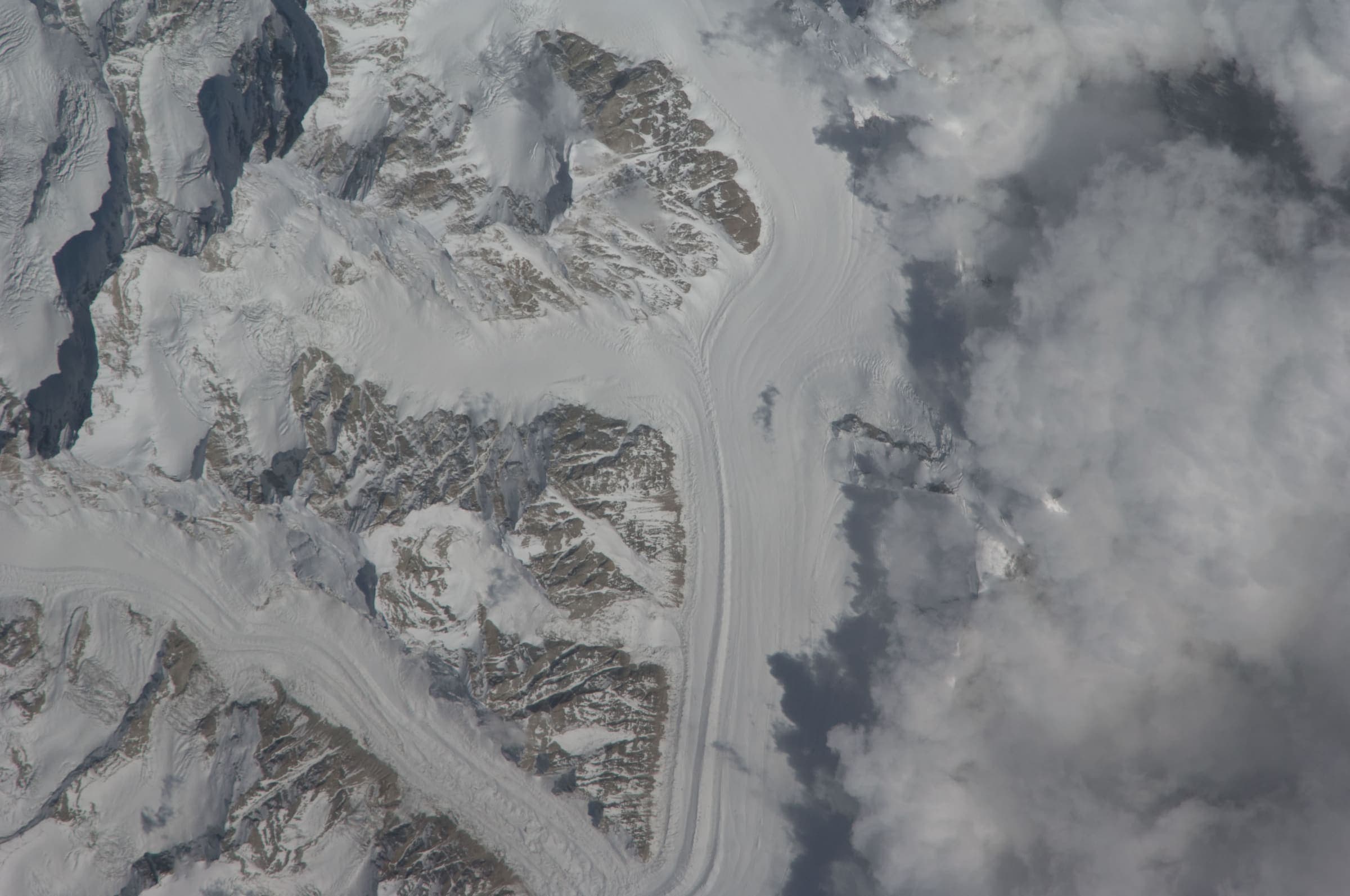
Dayara Bugyal
OSM hiking route around Dayara Bugyal, Uttarakhand (28.34 km line), Barsu–Raithal meadow network. DEM high is above the cited meadow elevation. Vertical figures from the GLO-30 resample. Days unknown.
Distance 28.34 km Reported · Ascent provisional (DEM sample) · High point provisional (DEM sample) · T2 · OSM route
Himachal Pradesh
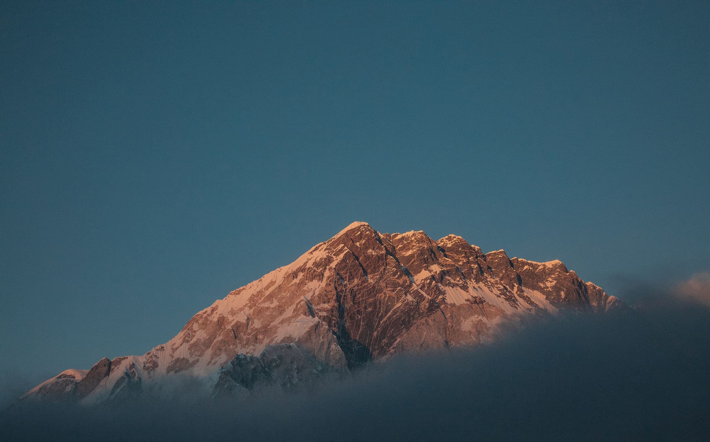
Deo Tibba Base Camp
OSM hiking route to Deo Tibba Base Camp, Himachal Pradesh (29.3 km line), not the 6,001 m peak. DEM high is the approach/col. Vertical figures from the GLO-30 resample. Days unknown.
Distance 29.3 km Reported · Ascent provisional (DEM sample) · High point provisional (DEM sample) · T2 · OSM route
Jammu and Kashmir
Gangbal–Naranag
OSM hiking route Gangbal–Naranag, Jammu and Kashmir (11.9 km line). Related to Kashmir Great Lakes; not merged. Vertical figures from the GLO-30 resample. Days unknown.
Distance 11.9 km Reported · Ascent provisional (DEM sample) · High point provisional (DEM sample) · T2 · OSM route
Uttarakhand
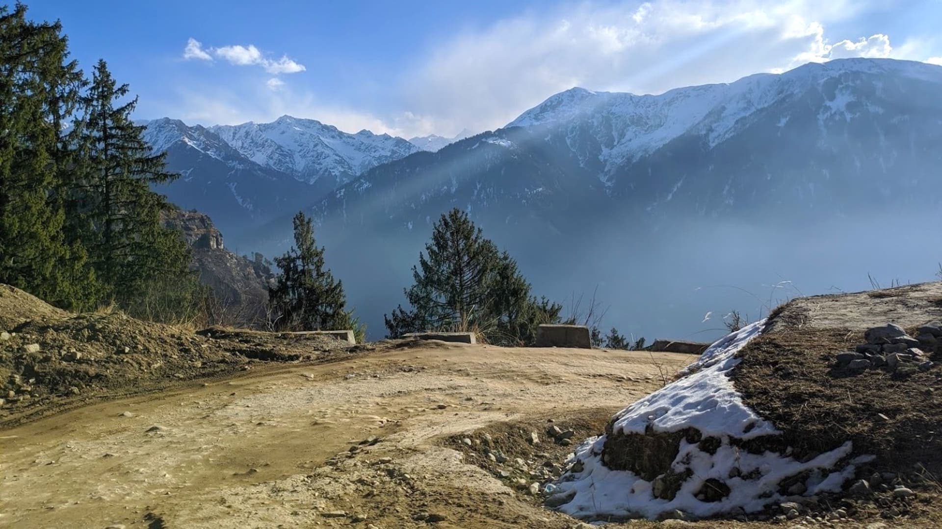
Gaumukh Tapovan
OSM hiking route Gangotri–Gaumukh–Tapovan, Uttarakhand (20.52 km line). Not the Gangotri–Khatling line 11234974 — related, not merged. Vertical figures from the GLO-30 resample. Days unknown. Gangotri NP entry 150 persons per day.
Distance 20.52 km Reported · Ascent provisional (DEM sample) · High point provisional (DEM sample) · T4 · OSM route

Uttarakhand
Ghat to Durmi
OSM hiking segment Ghat to Durmi, Uttarakhand (34.52 km line). Village-to-village path; no cited itinerary. Vertical figures from the GLO-30 resample. Days unknown.
Distance 34.52 km Reported · Ascent provisional (DEM sample) · High point provisional (DEM sample) · T2 · OSM route
Arequipa
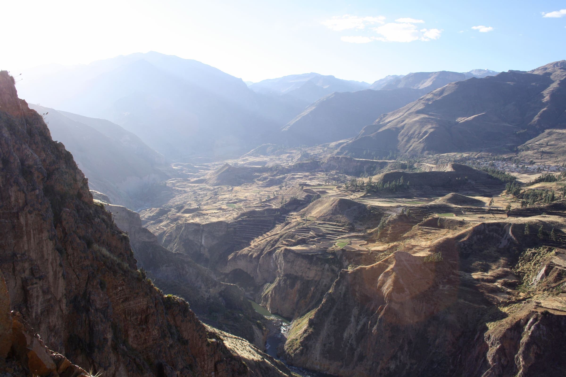
Colca Canyon Trek (Cabanaconde path)
Partial line only: OSM Cabanaconde-side canyon path (relation 2517569). Published one-way 12.97 km; round-trip 25.93 km is not doubled. Not the full oasis circuit (cited ~50 km). Boleto Turístico PEN 70 is reported secondary.
Distance 12.97 km Reported · Ascent provisional (DEM sample) · High point provisional (DEM sample) · 3d · SAC T2
Ancash
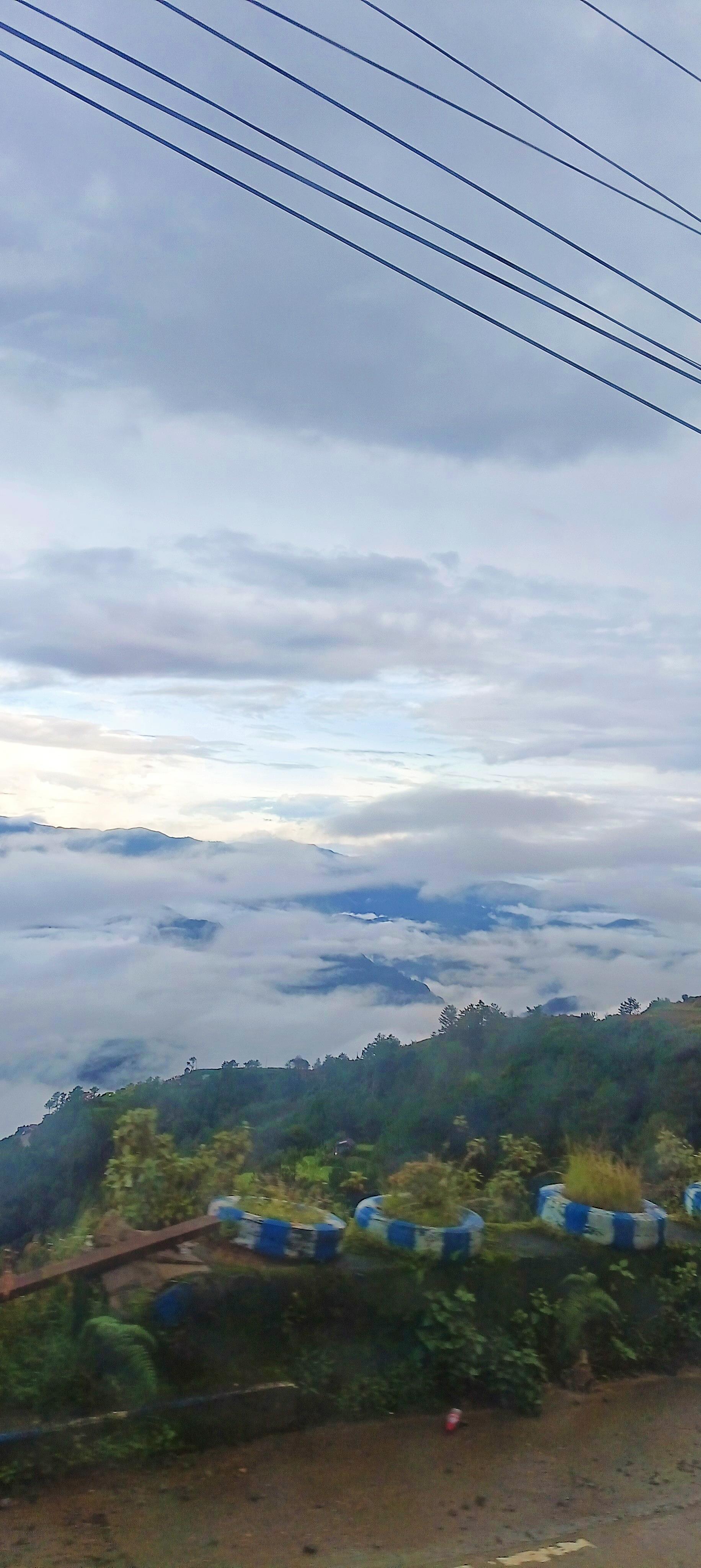
Cordillera Huayhuash Circuit
OSM Circuito de Huayhuash (relation 1112639), 100.95 km, DEM high 5,020 m. Community tolls are reported secondary. Alpine variant 1112642 is not merged.
Distance 100.95 km Reported · Ascent provisional (DEM sample) · High point provisional (DEM sample) · 12d · SAC T2
Tasmania
Cradle Mountain (Dove Lake Circuit)
OSM Dove Lake Circuit, left open (endpoints about 396 m apart). Cradle Mountain 1,545 m is a landmark, not this line's high. Tasmania Parks Pass, not a trail lottery.
Distance 5.01 km Reported · Ascent provisional (DEM sample) · High point provisional (DEM sample) · 1d · SAC T2
Annapurna
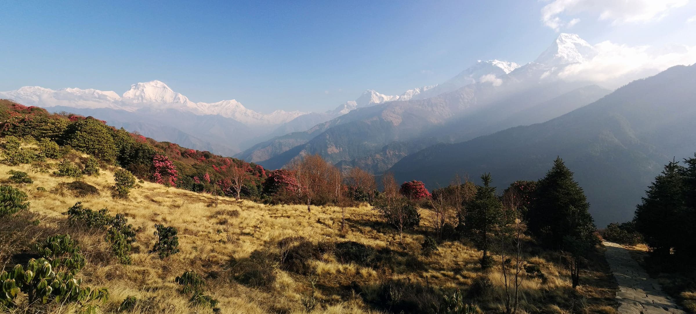
Ghorepani Poon Hill
Curated schematic — not walking distance. Pin-to-pin OSM named-waypoint loop Nayapul → Ghorepani → Poon Hill → Ghandruk → Nayapul. Cited itinerary ~45 km (provisional, secondary). Permits are the headline (official NTNC/NTB 2026-09-21). High 3,210 m is the Poon Hill landmark.
Distance 45 km Reported · High point Reported · T2 · schematic
Khumbu
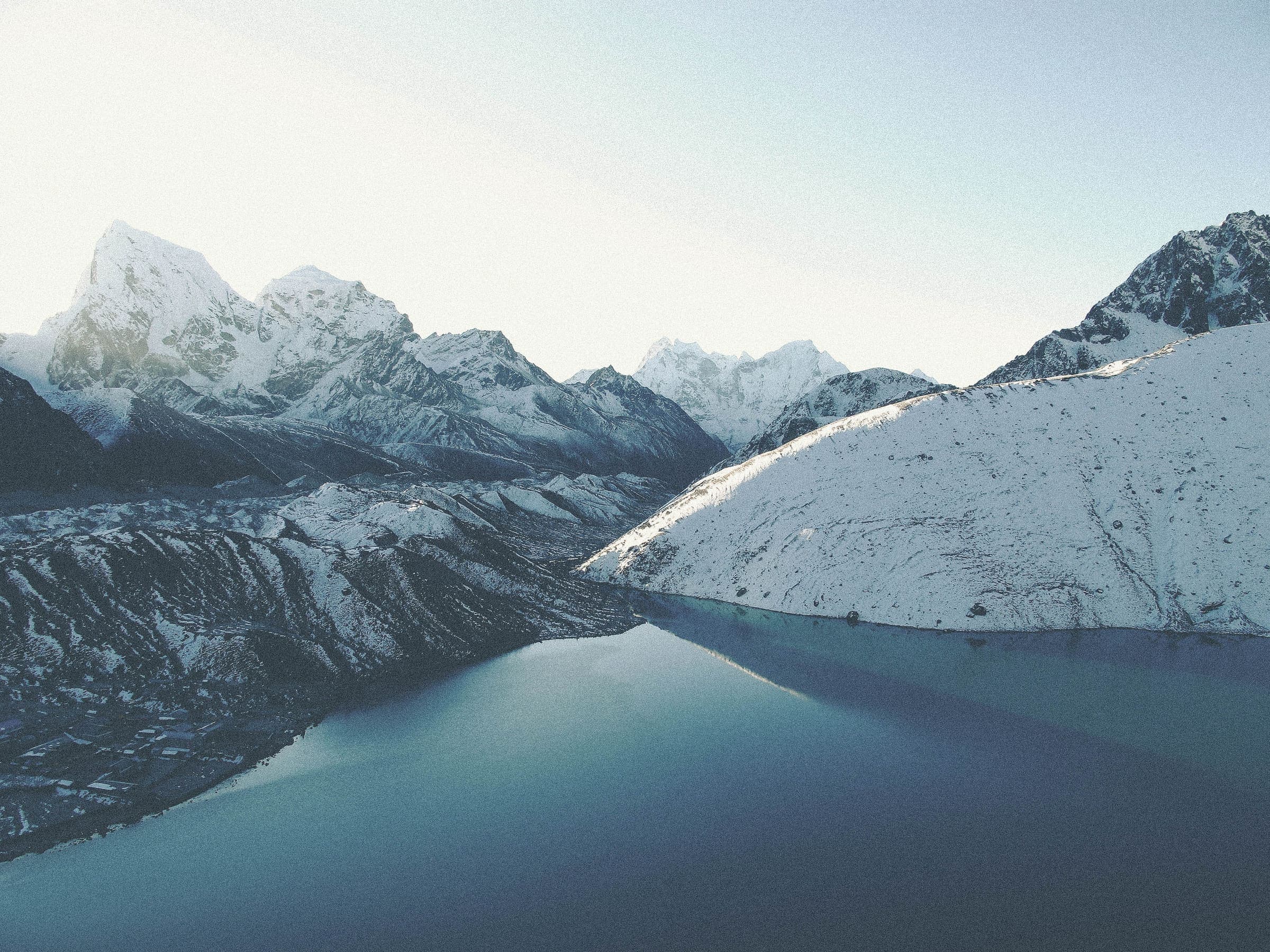
Gokyo Lakes
Curated schematic — not walking distance. Pin-to-pin OSM named-waypoint line Lukla → Namche → Gokyo → Gokyo Ri. Cited itinerary ~92 km round from Lukla (provisional, secondary). Permits are the headline (official NTB 2026-09-21). High 5,357 m is the Gokyo Ri landmark.
Distance 92 km Reported · High point Reported · T2 · schematic
Gilgit-Baltistan
Deosai Plains
Schematic Skardu, Sheosar Lake, Deosai Pass, Astore. Not a single tread and not walking distance. Park boundary was not used as the route. Astore's tagged elevation 8,353 m was rejected; DEM at the town is 2,447 m. Sheosar DEM 4,137 m is the high pin.
High point provisional (DEM sample) · 1d · SAC T2
Gilgit-Baltistan
Fairy Meadows and Nanga Parbat Base Camp
Schematic Raikot Bridge, Tato, Fairy Meadows, Raikot-side base camp. Not a GPS track. Nanga Parbat 8,126 m is a landmark. DEM high 3,971 m is the camp. The Diamir-face camp is a different approach and is not on this line.
Distance 19.43 km provisional (pin-to-pin derivation) · High point provisional (DEM sample) · 1d · SAC T3
Tasmania
Frenchmans Cap
One pin: the summit, DEM 1,411 m. Trailhead unresolved so high equals low. Cited 1,446 m is a landmark. Cited about 45 km. Register at the trailhead; no trail fee.
Distance 45 km provisional (round figure) · Ascent provisional (DEM sample) · High point provisional (DEM sample) · 1d · SAC T3