
Trail records
Filter by country, access, region, distance, days, and SAC. Every card is a sourced record, not a crowd-drawn track dump. A–Z directory
Filters
36 of 36 · 36 edited records shown
Tasmania
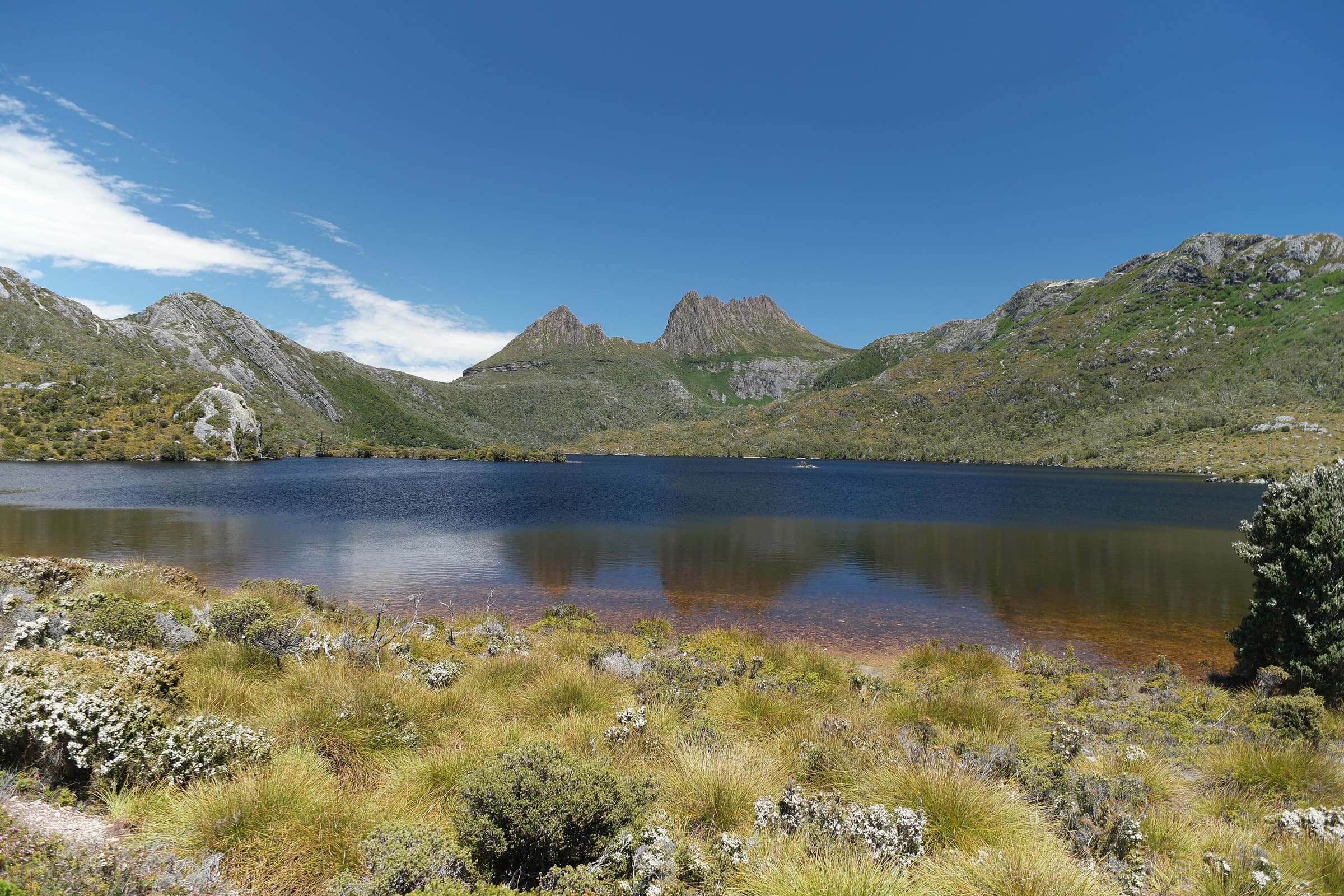
Overland Track
OSM hiking route in Cradle Mountain–Lake St Clair National Park, Tasmania (77.6 km line). Vertical figures sampled from Copernicus GLO-30.
Distance 65 km Verified read 2026-08-24 · Mapped line 77.6 km (includes the Lake St Clair continuation), Reported · High point provisional (DEM sample) · 6d · SAC T2
St. Gallen
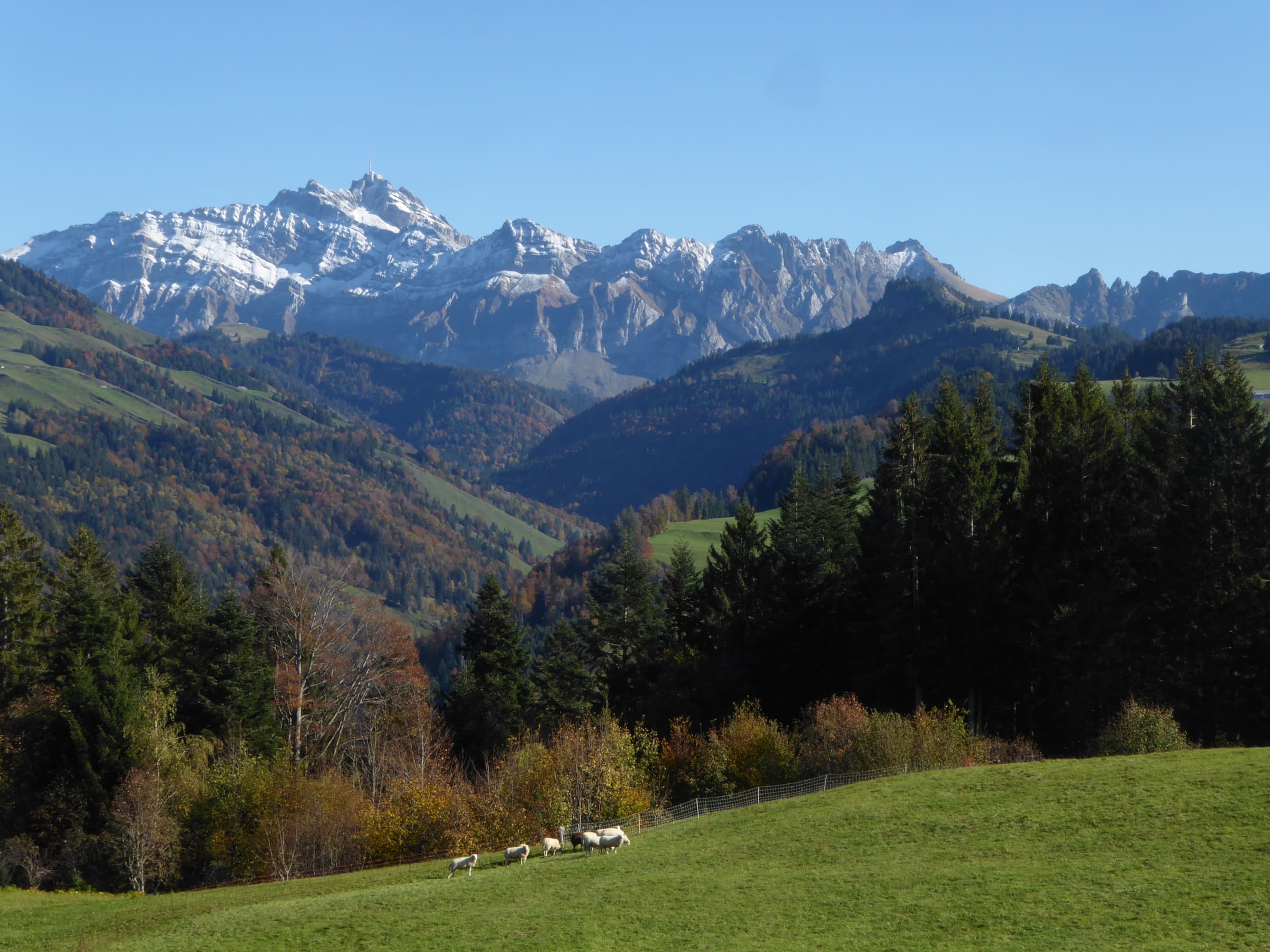
Neckerweg
Reported OSM relation: SchweizMobil regional hiking route 92, Neckerweg, Schwägalp to Bazenheid, 37.7 km OSM 2-D. Vertical figures sampled from Copernicus GLO-30.
Distance 37.7 km Reported · Ascent provisional (DEM sample) · High point provisional (DEM sample) · T2 · OSM route
Nidwalden
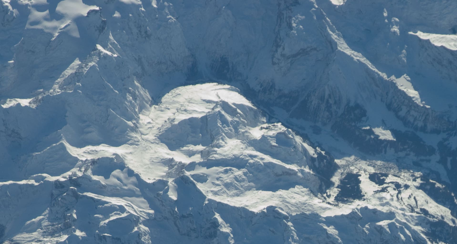
Nidwaldner Höhenweg
Reported OSM relation: SchweizMobil regional hiking route 88, Nidwaldner Höhenweg, Stanserhorn to Niederbauen, 93.3 km OSM 2-D. Vertical figures sampled from Copernicus GLO-30.
Distance 93.3 km Reported · High point provisional (DEM sample) · T2 · OSM route
Obwalden
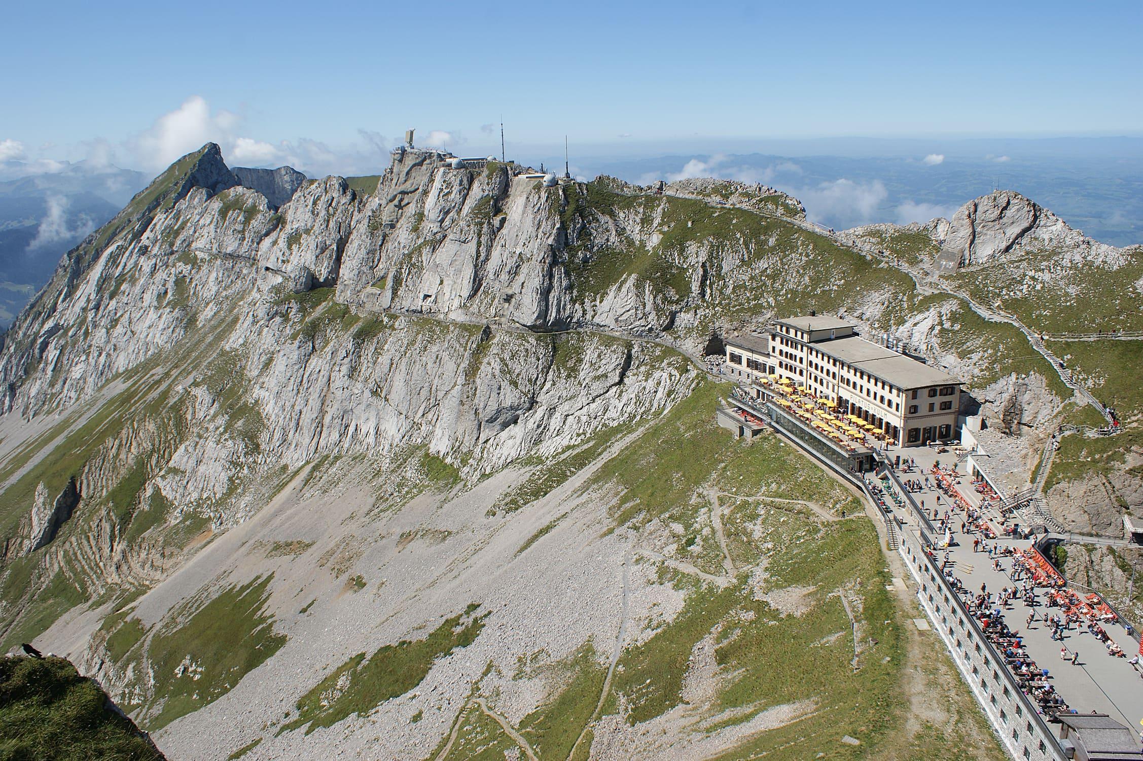
Obwaldner Höhenweg
Reported OSM relation: SchweizMobil regional hiking route 57, Obwaldner Höhenweg, Pilatus to Stanserhorn, 98.3 km OSM 2-D. Vertical figures sampled from Copernicus GLO-30.
Distance 98.3 km Reported · High point provisional (DEM sample) · T2 · OSM route
Niederösterreich
Pielachtaler Pilgerweg
Reported OSM relation: Pielachtaler Pilgerweg, St. Pölten to Mariazell, 80.4 km OSM 2-D. Vertical figures sampled from Copernicus GLO-30.
Distance 80.4 km Reported · High point provisional (DEM sample) · T2 · OSM route
Schwyz
Pragelpass-Weg
Reported OSM relation: SchweizMobil regional hiking route 29, Pragelpass-Weg, Schwyz to Glarus, 48.1 km OSM 2-D. Vertical figures sampled from Copernicus GLO-30.
Distance 48.1 km Reported · Ascent provisional (DEM sample) · High point provisional (DEM sample) · T2 · OSM route
Graubünden
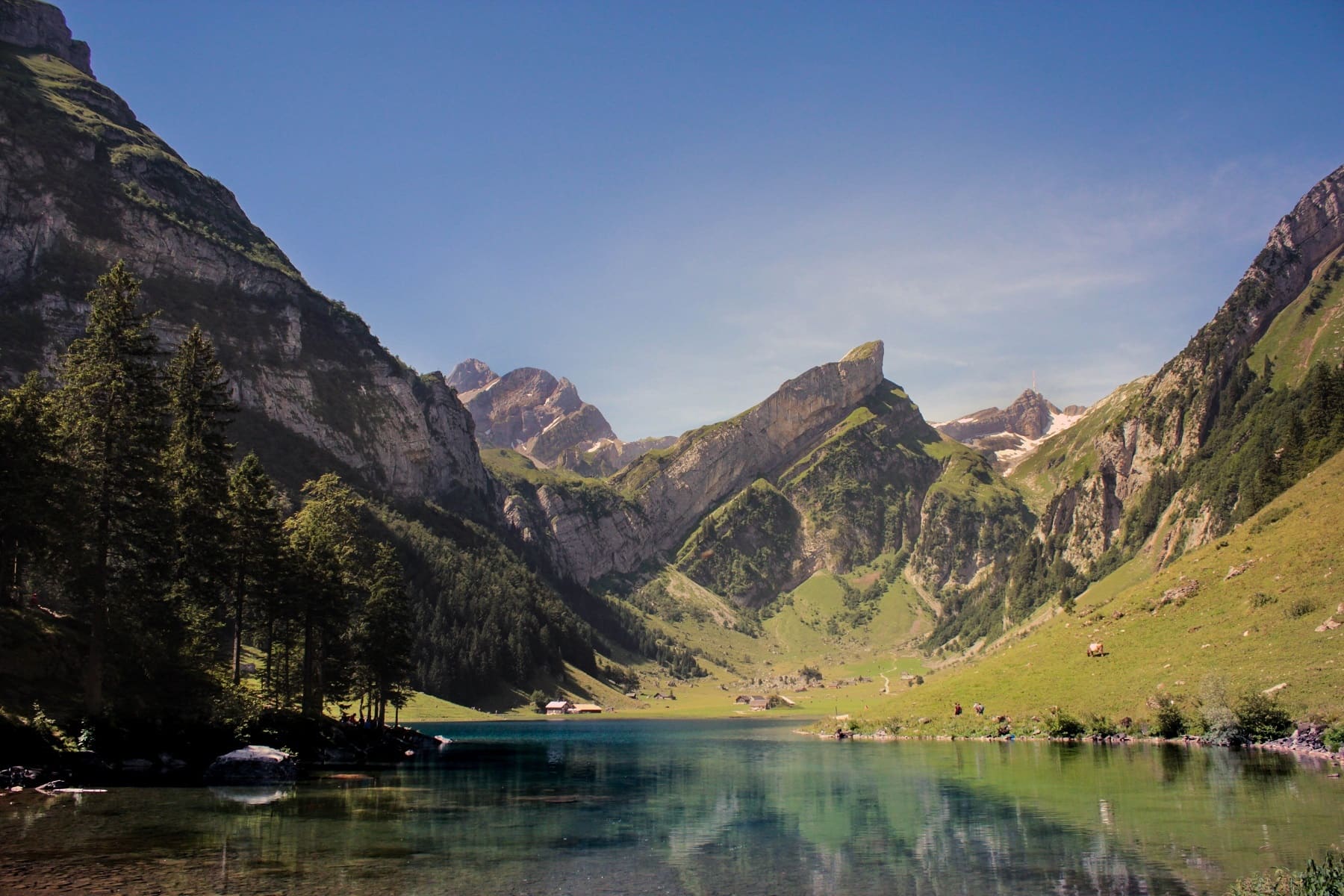
Prättigauer Höhenweg
Reported OSM relation: SchweizMobil regional hiking route 72, Prättigauer Höhenweg, Landquart to Klosters, 76.1 km OSM 2-D. Vertical figures sampled from Copernicus GLO-30.
Distance 76.1 km Reported · High point provisional (DEM sample) · T2 · OSM route
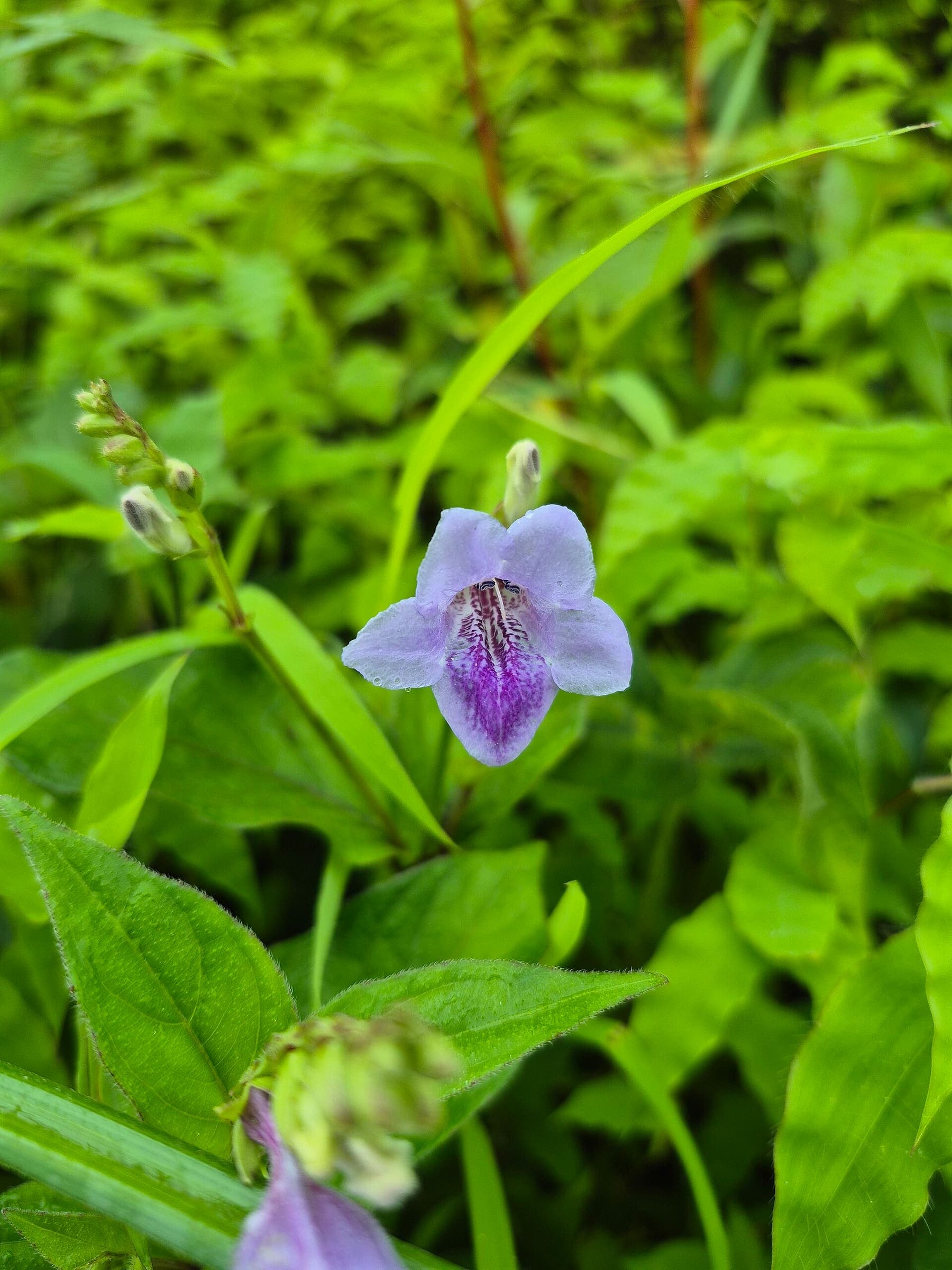
Maharashtra
Nandin Fort
OSM hiking route Nandin Fort, Maharashtra (5.07 km line). out-and-back; one-way 5.07 km, round-trip 10.14 km in prose; ⚠ 2-component 276 m gap. Vertical figures from the GLO-30 resample. Days unknown.
Distance 5.07 km Reported · Ascent provisional (DEM sample) · High point provisional (DEM sample) · T2 · OSM route
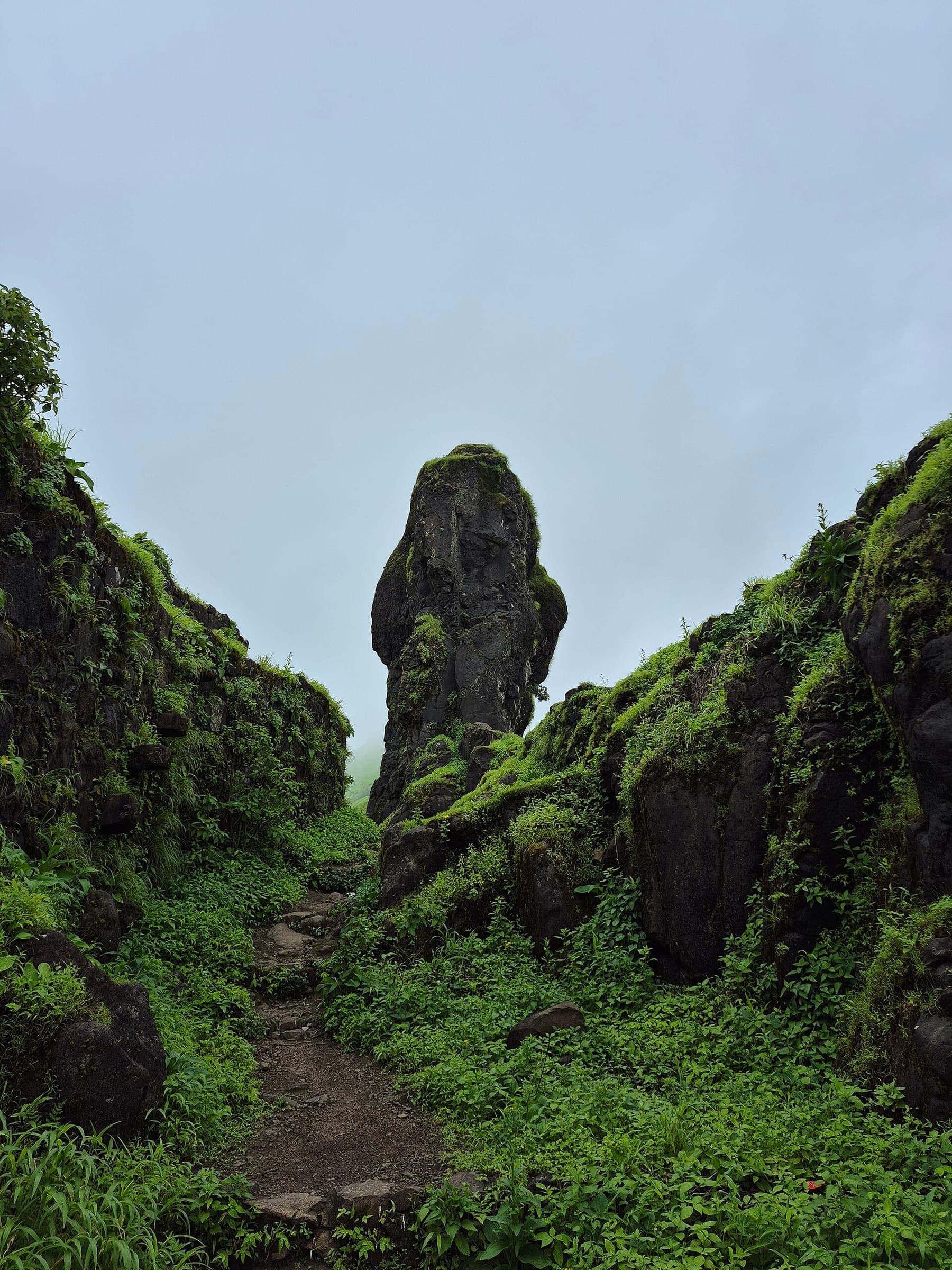
Maharashtra
Pabargad Fort
OSM hiking route Pabargad Fort, Maharashtra (3.6 km line). out-and-back; one-way 3.6 km, round-trip 7.2 km in prose. Vertical figures from the GLO-30 resample. Days unknown.
Distance 3.6 km Reported · Ascent provisional (DEM sample) · High point provisional (DEM sample) · T2 · OSM route
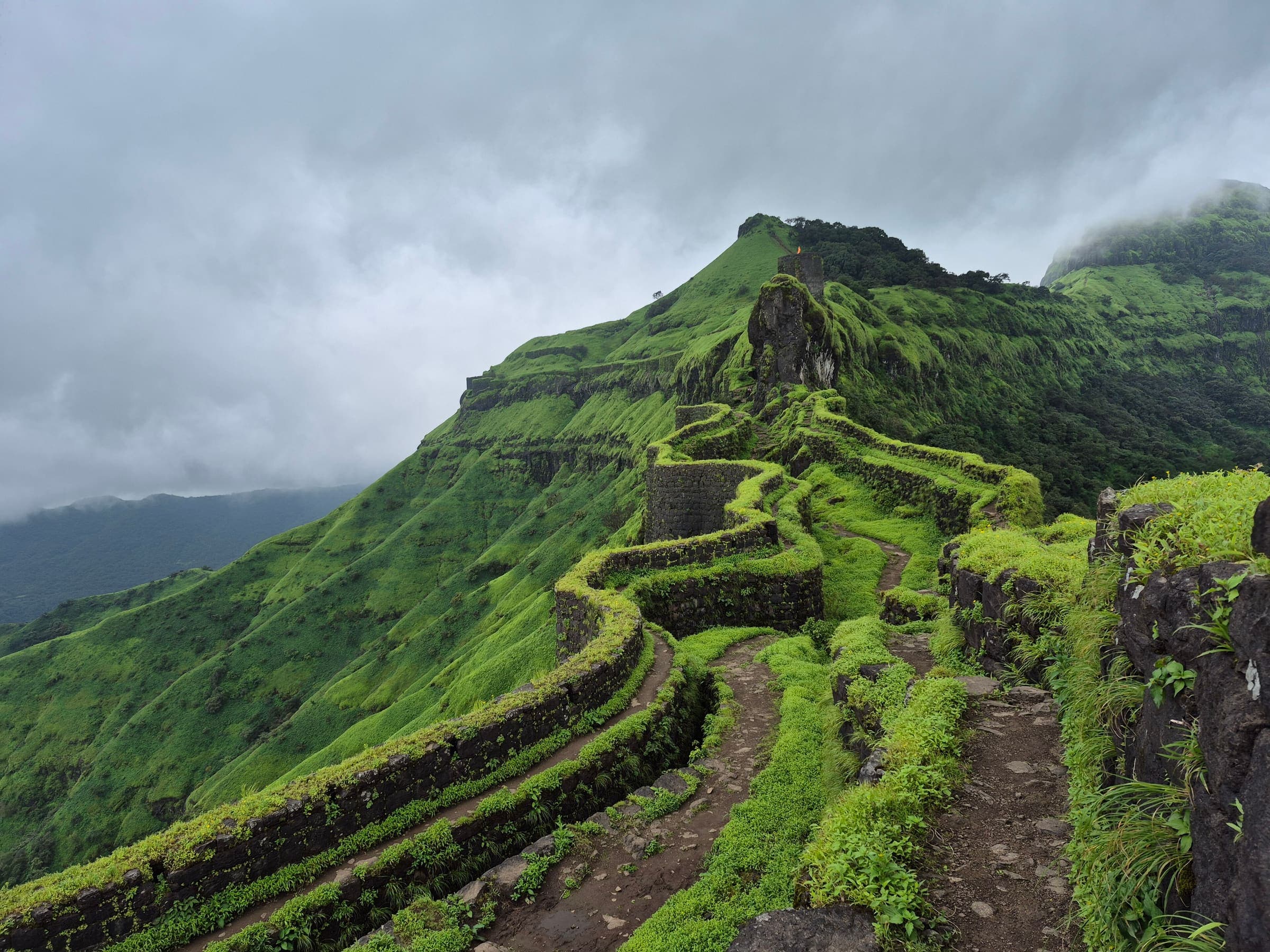
Maharashtra
Panhalgad Fort
OSM hiking route Panhalgad Fort, Maharashtra (1.47 km line). out-and-back; one-way 1.47 km, round-trip 2.94 km in prose; ⚠ 3-component 238 m gap. Vertical figures from the GLO-30 resample. Days unknown.
Distance 1.47 km Reported · Ascent provisional (DEM sample) · High point provisional (DEM sample) · T2 · OSM route
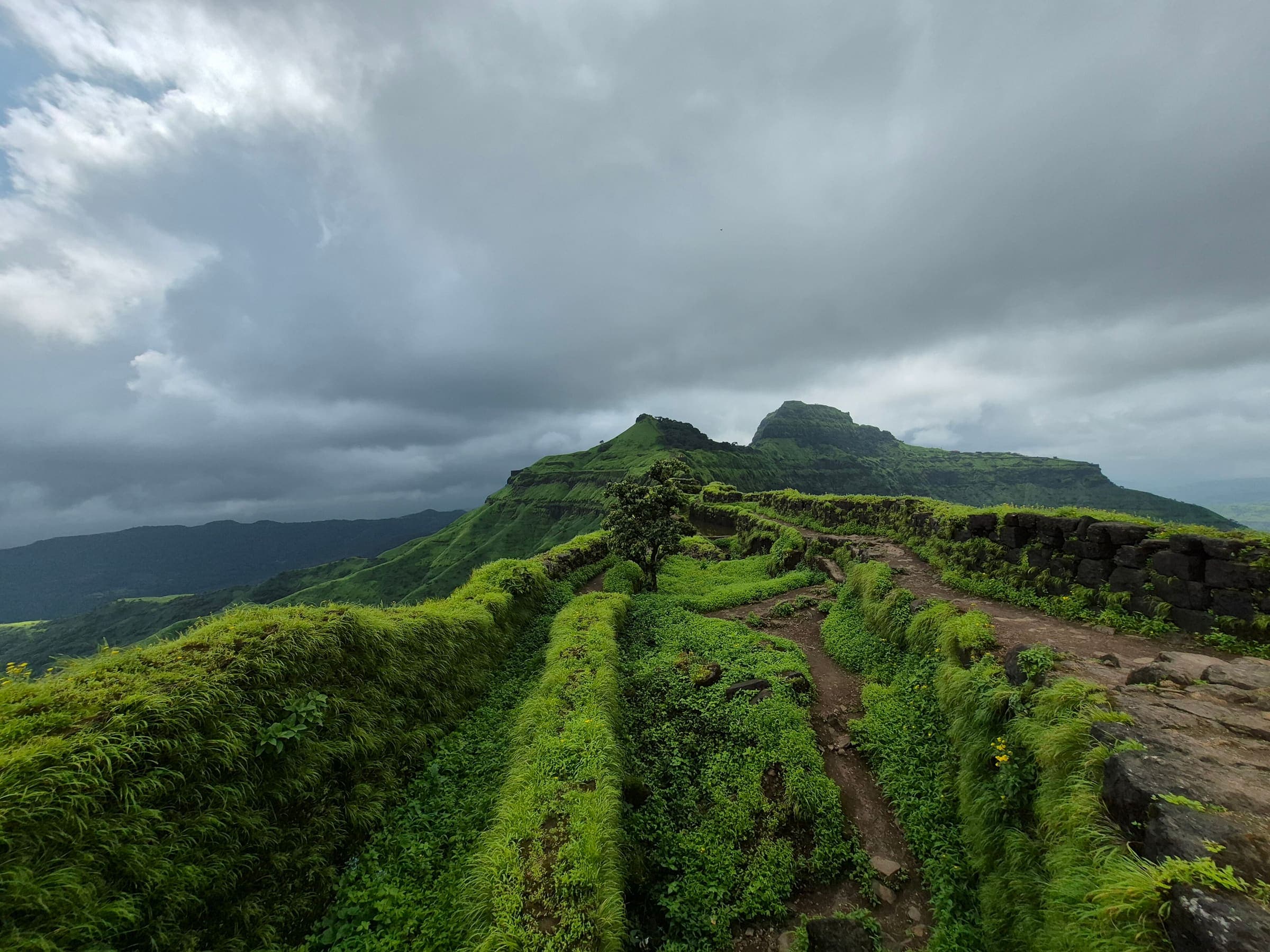
Maharashtra
Parvatgad Fort
OSM hiking route Parvatgad Fort, Maharashtra (1.74 km line). out-and-back; one-way 1.74 km, round-trip 3.48 km in prose. Vertical figures from the GLO-30 resample. Days unknown.
Distance 1.74 km Reported · Ascent provisional (DEM sample) · High point provisional (DEM sample) · T2 · OSM route
Maharashtra
Peb Fort 1
OSM hiking route Peb Fort 1, Maharashtra (7.77 km line). out-and-back; one-way 7.77 km, round-trip 15.54 km in prose. Vertical figures from the GLO-30 resample. Days unknown.
Distance 7.77 km Reported · Ascent provisional (DEM sample) · High point provisional (DEM sample) · T2 · OSM route
Maharashtra
Peb Fort 2
OSM hiking route Peb Fort 2, Maharashtra (2.31 km line). out-and-back; one-way 2.31 km, round-trip 4.62 km in prose; ⚠ 2-component 15 m gap. Vertical figures from the GLO-30 resample. Days unknown.
Distance 2.31 km Reported · Ascent provisional (DEM sample) · High point provisional (DEM sample) · T2 · OSM route
Maharashtra
Peb Fort 3
OSM hiking route Peb Fort 3, Maharashtra (2.45 km line). out-and-back; one-way 2.45 km, round-trip 4.9 km in prose; ⚠ 2-component 103 m gap. Vertical figures from the GLO-30 resample. Days unknown.
Distance 2.45 km Reported · Ascent provisional (DEM sample) · High point provisional (DEM sample) · T2 · OSM route
Maharashtra
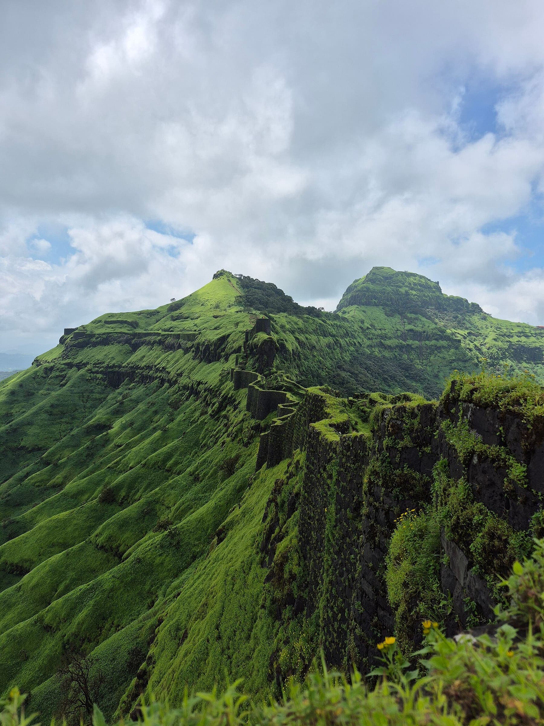
Peb Fort 4
OSM hiking route Peb Fort 4, Maharashtra (2.55 km line). out-and-back; one-way 2.55 km, round-trip 5.1 km in prose. Vertical figures from the GLO-30 resample. Days unknown.
Distance 2.55 km Reported · Ascent provisional (DEM sample) · High point provisional (DEM sample) · T2 · OSM route
Maharashtra
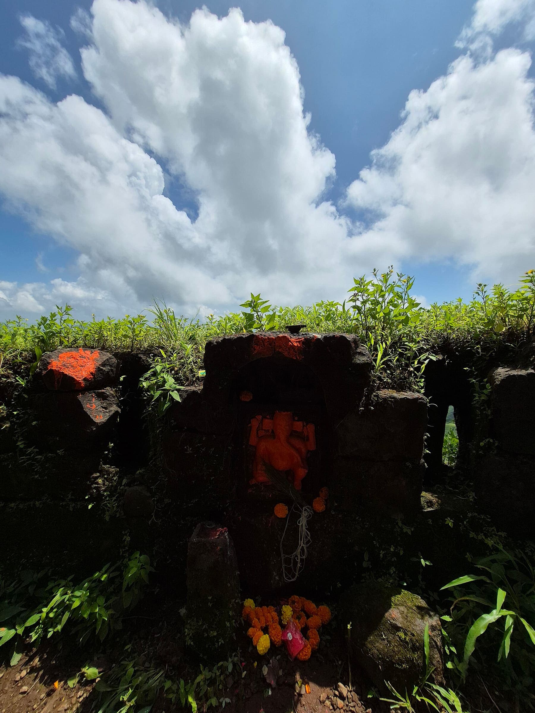
Peb Fort 5
OSM hiking route Peb Fort 5, Maharashtra (2.2 km line). out-and-back; one-way 2.2 km, round-trip 4.4 km in prose. Vertical figures from the GLO-30 resample. Days unknown.
Distance 2.2 km Reported · Ascent provisional (DEM sample) · High point provisional (DEM sample) · T2 · OSM route
Maharashtra
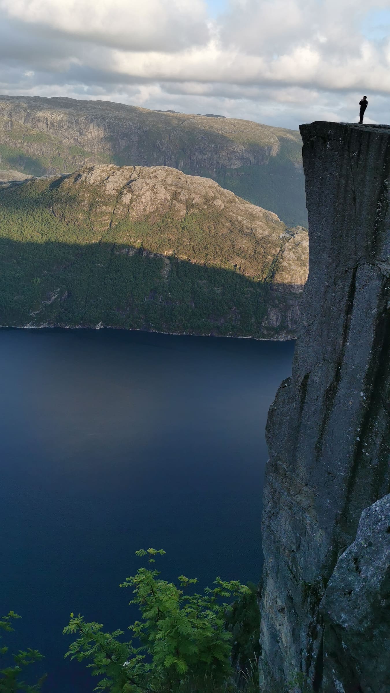
Prachitgad Fort
OSM hiking route Prachitgad Fort, Maharashtra (10.87 km line). out-and-back; one-way 10.87 km, round-trip 21.74 km in prose; ⚠ 2-component 1,265 m gap. Vertical figures from the GLO-30 resample. Days unknown.
Distance 10.87 km Reported · Ascent provisional (DEM sample) · High point provisional (DEM sample) · T2 · OSM route
Ryfylke
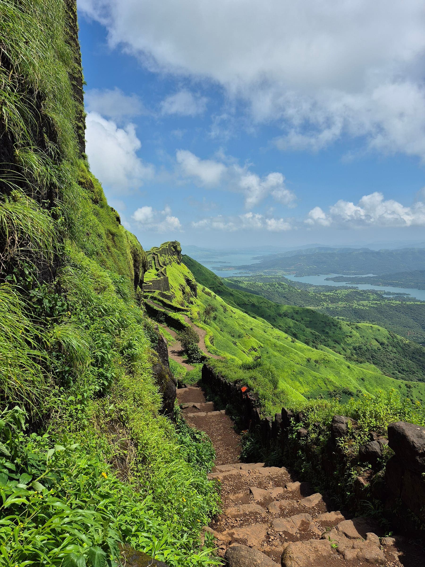
Preikestolen
OSM hiking route in Ryfylke, Norway (4.2 km line), Preikestolen fjellstue toward the cliff plateau. Vertical figures sampled from Copernicus GLO-30.
Distance 4.2 km Reported · Ascent provisional (DEM sample) · High point provisional (DEM sample) · 1d · SAC T2
Maharashtra
Raigad Fort 2
OSM hiking route Raigad Fort 2, Maharashtra (9.39 km line). out-and-back; one-way 9.39 km, round-trip 18.78 km in prose. Vertical figures from the GLO-30 resample. Days unknown.
Distance 9.39 km Reported · Ascent provisional (DEM sample) · High point provisional (DEM sample) · T2 · OSM route
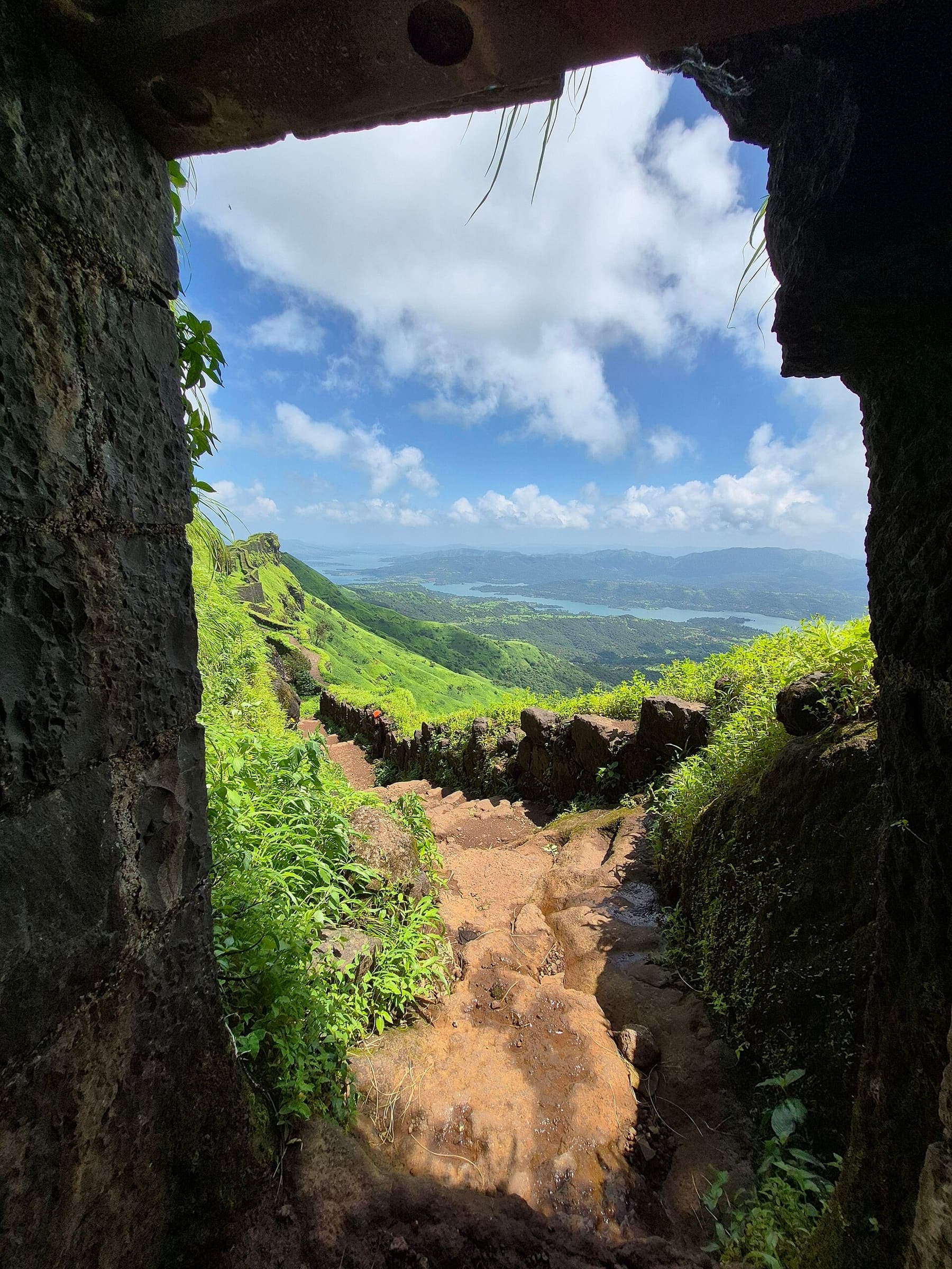
Maharashtra
Raireshwar Fort
OSM hiking route Raireshwar Fort, Maharashtra (5.03 km line). out-and-back; one-way 5.03 km, round-trip 10.06 km in prose. Vertical figures from the GLO-30 resample. Days unknown.
Distance 5.03 km Reported · Ascent provisional (DEM sample) · High point provisional (DEM sample) · T2 · OSM route
Los Glaciares
Perito Moreno Glacier Walkways
OSM boardwalk segment (Paseo de la Costa), not the full walkway network. The glacier body is a different relation.
Distance 1.29 km Reported · Ascent provisional (DEM sample) · High point provisional (DEM sample) · 1d · SAC T1
Uttarakhand
Narayn Bagar to Sera
OSM hiking segment Narayn Bagar to Sera, Uttarakhand (30.49 km line). Village-to-village path; no cited itinerary. Vertical figures from the GLO-30 resample. Days unknown.
Distance 30.49 km Reported · Ascent provisional (DEM sample) · High point provisional (DEM sample) · T2 · OSM route
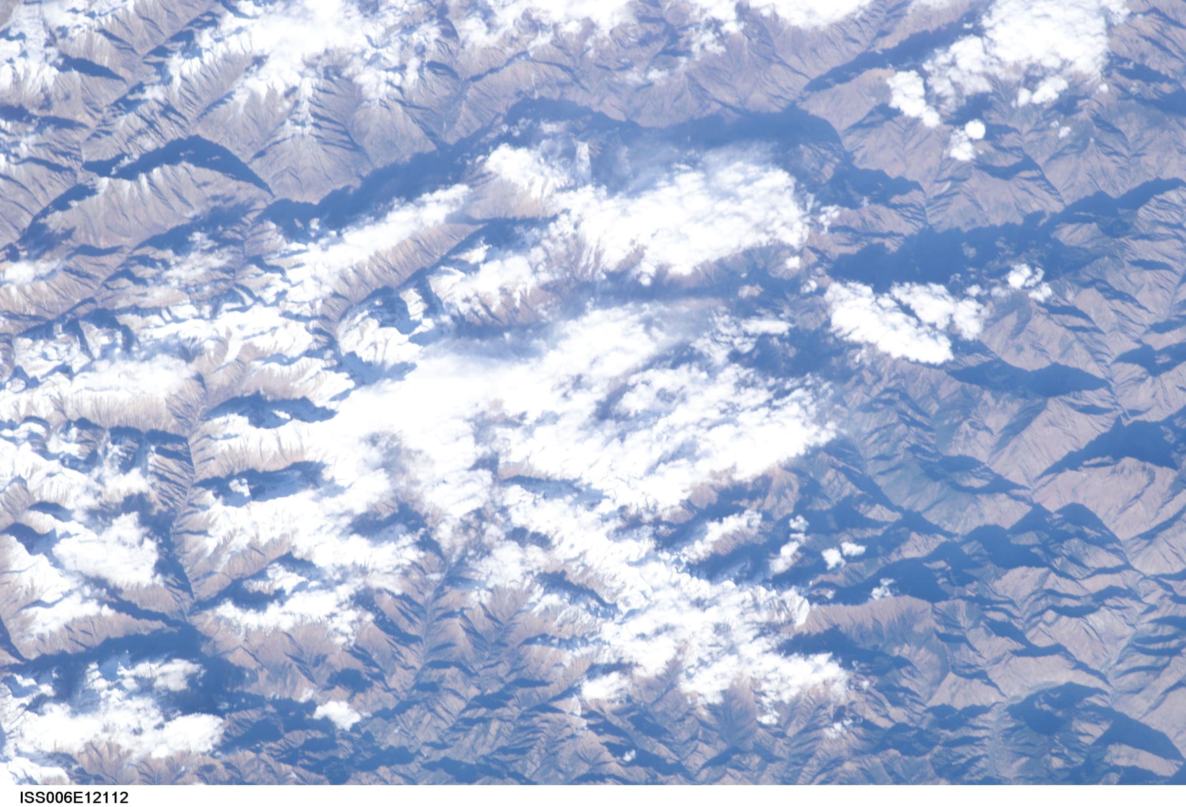
Uttarakhand
Pana to Joshimath
OSM hiking segment Pana to Joshimath, Uttarakhand (32.98 km line). Village-to-village path; no cited itinerary. Vertical figures from the GLO-30 resample. Days unknown.
Distance 32.98 km Reported · Ascent provisional (DEM sample) · High point provisional (DEM sample) · T2 · OSM route
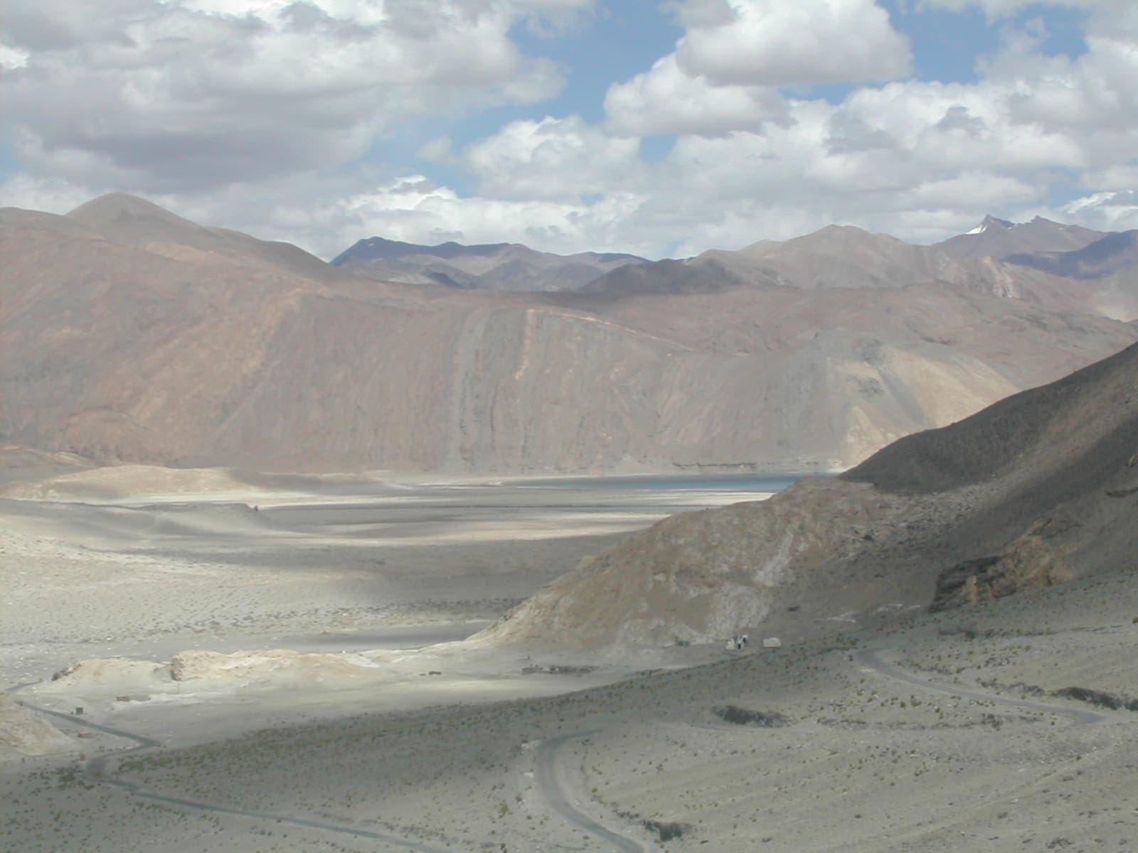
Ladakh
Pang to Tsomoriri
OSM hiking traverse Pang to Tsomoriri, Ladakh (97.99 km Rupshu plateau line). OSM tag=P2T is not the name. Vertical figures from the GLO-30 resample. Days unknown. additional.
Distance 97.99 km Reported · High point provisional (DEM sample) · T1 · OSM route
Himachal Pradesh
Phangchi Galu
OSM hiking traverse Phangchi Galu, Himachal Pradesh (42.29 km line). DEM ascent 6,944 m looks high for ~42 km (noisy polyline); kept provisional. Vertical figures from the GLO-30 resample. Days unknown.
Distance 42.29 km Reported · Ascent provisional (DEM sample) · High point provisional (DEM sample) · T4 · OSM route
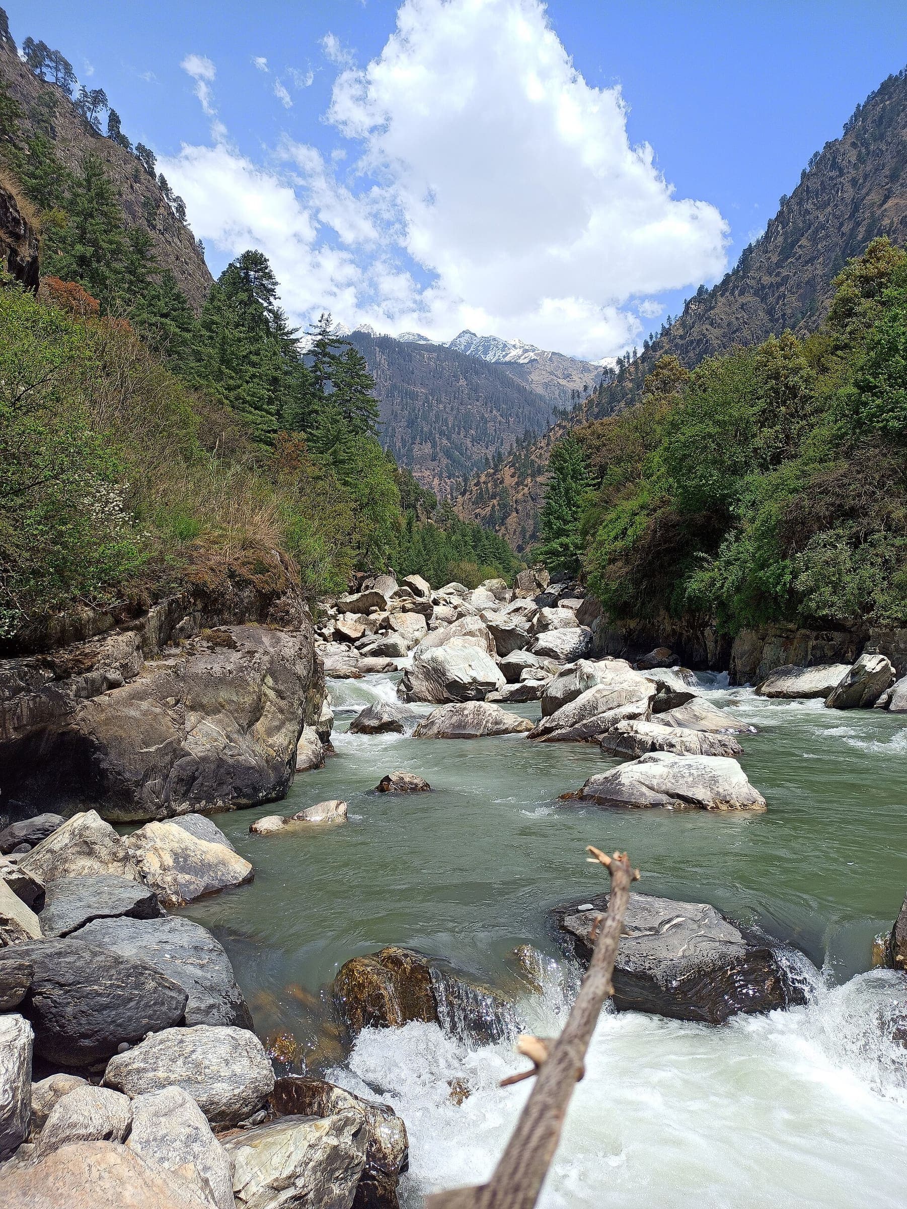
Himachal Pradesh
Pin Parvati Pass
OSM hiking route Pin Parvati Pass, Himachal Pradesh (79.42 km line). OSM km vs Wikipedia 155 km (different extent). GHNP entry required. Vertical figures from the GLO-30 resample. Days unknown.
Distance 79.42 km Reported · High point provisional (DEM sample) · T2 · OSM route
Himachal Pradesh
Pin–Bhabha Pass
OSM hiking route Pin–Bhabha Pass, Himachal Pradesh (49.35 km line). Vertical figures from the GLO-30 resample. Days unknown.
Distance 49.35 km Reported · Ascent provisional (DEM sample) · High point provisional (DEM sample) · T2 · OSM route
Uttarakhand
Pindari Glacier
OSM hiking route Kathi to Pindari Glacier, Uttarakhand (20.52 km line). OSM 20.52 km vs KMVN 90 km round-trip — record the OSM line, note the mismatch. Vertical figures from the GLO-30 resample. Days unknown.
Distance 20.52 km Reported · Ascent provisional (DEM sample) · High point provisional (DEM sample) · T2 · OSM route
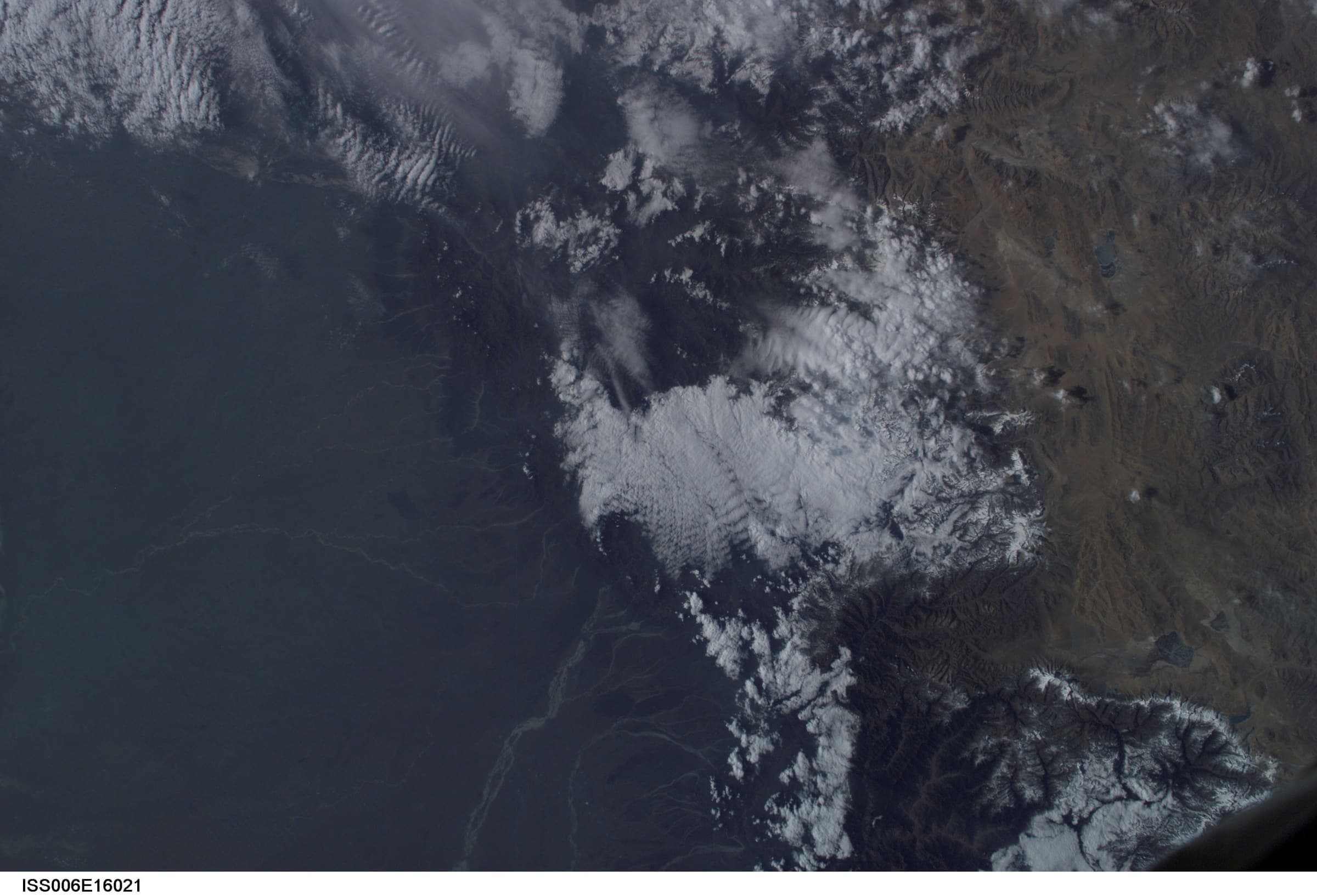
Himachal Pradesh
Prashar Lake
OSM hiking loop Prashar Lake, Himachal Pradesh (12.29 km). Not relation 17953469 (road corridor). Vertical figures from the GLO-30 resample. Days unknown.
Distance 12.29 km Reported · Ascent provisional (DEM sample) · High point provisional (DEM sample) · T2 · OSM route
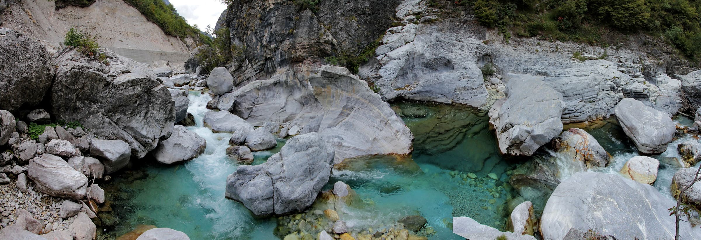
Peaks of the Balkans
Peaks of the Balkans
Schematic loop: Theth, Valbona Pass, Valbonë, Çerem, Dobërdol, Doberdol Pass, Milishevc, Plav, Vusanje. Not a GPS track. Cited circuit about 192 km. DEM high 2,121 m is Doberdol Pass. Cited ~2,290 m pasture is a landmark. Babino Polje is unresolved and is not drawn.
Distance 192 km provisional (round figure) · High point provisional (DEM sample) · T3 · schematic
Jujuy
Quebrada de Humahuaca
Schematic Humahuaca town to Mirador del Hornocal. Not a GPS track. DEM high 4,301 m at the 14-colores viewpoint. Serranía de Hornocal 4,761 m is a landmark.
Distance 15.39 km provisional (pin-to-pin derivation) · High point provisional (DEM sample) · T2 · schematic
Gilgit-Baltistan
Nanga Parbat Rupal Base Camp
Schematic Rupal village to the Rupal-side base camp. Tarashing was unresolved and is not drawn. Nanga Parbat 8,126 m and the Rupal Face are landmarks. DEM high 3,537 m is the camp.
Distance 8.23 km provisional (pin-to-pin derivation) · High point provisional (DEM sample) · T3 · schematic
Gilgit-Baltistan
Passu Glacier
Schematic Passu village to Passu Glacier View hike. Not a GPS track. DEM high 3,136 m. Passu Peak 7,243 m is a landmark. Glacier polygon is a feature, not this line. Batura / Yunz stays a separate held record.
Distance 4.49 km provisional (pin-to-pin derivation) · High point provisional (DEM sample) · 1d · SAC T3
Gilgit-Baltistan
Patundas
Schematic Passu, Borith Lake, Patundas. A glacier viewpoint, not a summit. DEM high 4,115 m. Not a GPS track.
Distance 11.68 km provisional (pin-to-pin derivation) · High point provisional (DEM sample) · T3 · schematic
Peaks of the Balkans
Peaks of the Balkans Trail
About 192 km looping through the Accursed Mountains of Albania, Kosovo, and Montenegro on old shepherd and smuggler paths.
Distance 192 km provisional (round figure) · High point provisional (round figure) · 10d · SAC T3
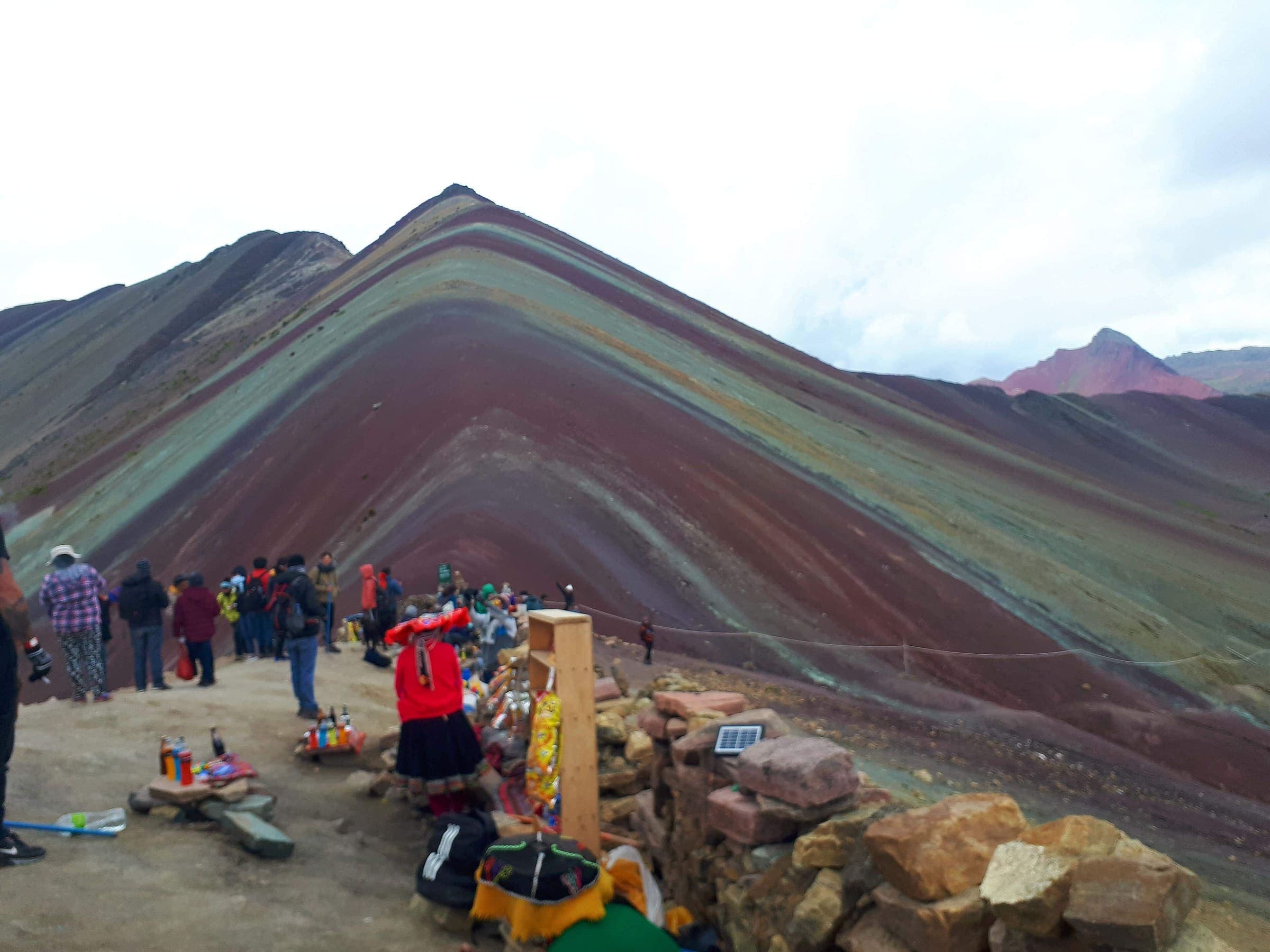
Cusco
Rainbow Mountain (Vinicunca)
Curated schematic — not walking distance. Pin-to-pin OSM named-waypoint line Phulawasipata → Vinicunca viewpoint. Cited itinerary ~7 km round (provisional, secondary). Community trailhead fee (reported secondary). High 5,036 m is the Vinicunca landmark.
Distance 7 km Reported · High point Reported · T2 · schematic