
Trail records
Filter by country, access, region, distance, days, and SAC. Every card is a sourced record, not a crowd-drawn track dump. A–Z directory
Filters
36 of 36 · 36 edited records shown
Fiordland
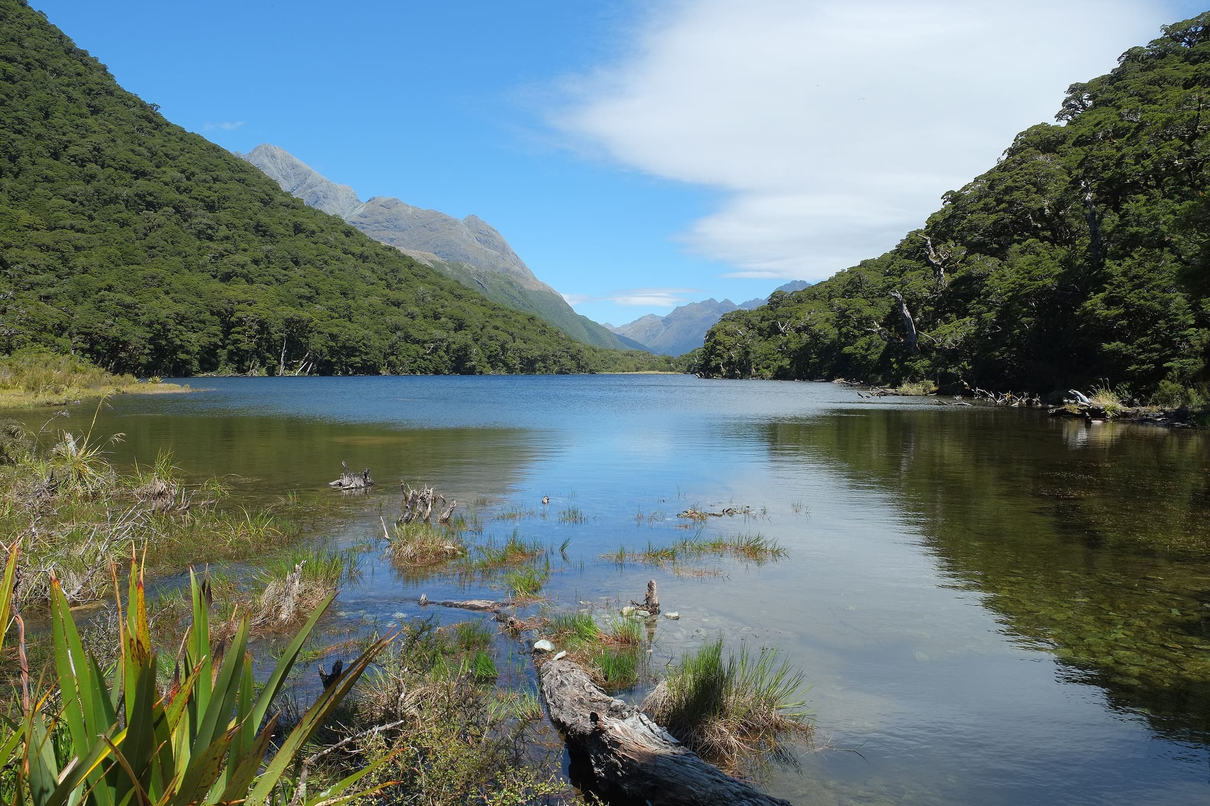
Routeburn Track
OSM hiking route spanning Fiordland and Mount Aspiring, New Zealand (31.5 km line), Routeburn Shelter to The Divide. Vertical figures sampled from Copernicus GLO-30.
Distance 31.5 km Reported · Ascent provisional (DEM sample) · High point provisional (DEM sample) · 3d · SAC T2
Graubünden
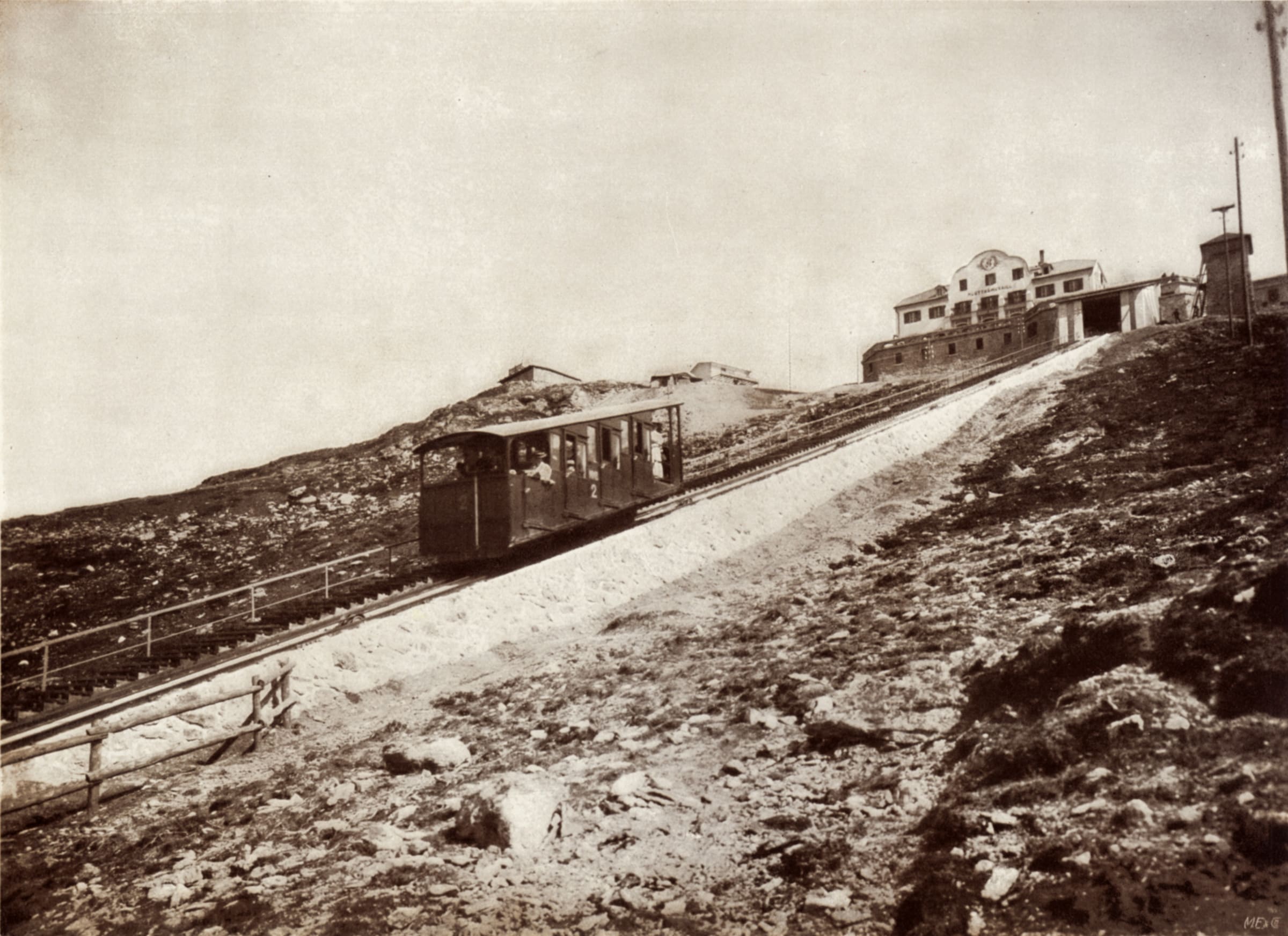
Senda Segantini
Savognin to Muottas Muragl on SchweizMobil route 25. Published 73 km / 4 stages (https://www.myswitzerland.com/en/experiences/route/senda-segantini/, checked 2026-11-14). Mapped line 72.3 km OSM 2-D.
Distance 73 km Reported read 2026-11-14 · Mapped line 72.3 km (OpenStreetMap geometry), Reported · High point provisional (DEM sample) · 4d · SAC T2
Graubünden
Senda Sursilvana
Oberalppass to Chur on SchweizMobil route 85. Published 105 km / 5 stages (https://www.myswitzerland.com/en/experiences/route/senda-sursilvana/, checked 2026-11-14). Mapped line 104.1 km OSM 2-D.
Distance 105 km Reported read 2026-11-14 · Mapped line 104.1 km (OpenStreetMap geometry), Reported · High point provisional (DEM sample) · 5d · SAC T2
St. Gallen
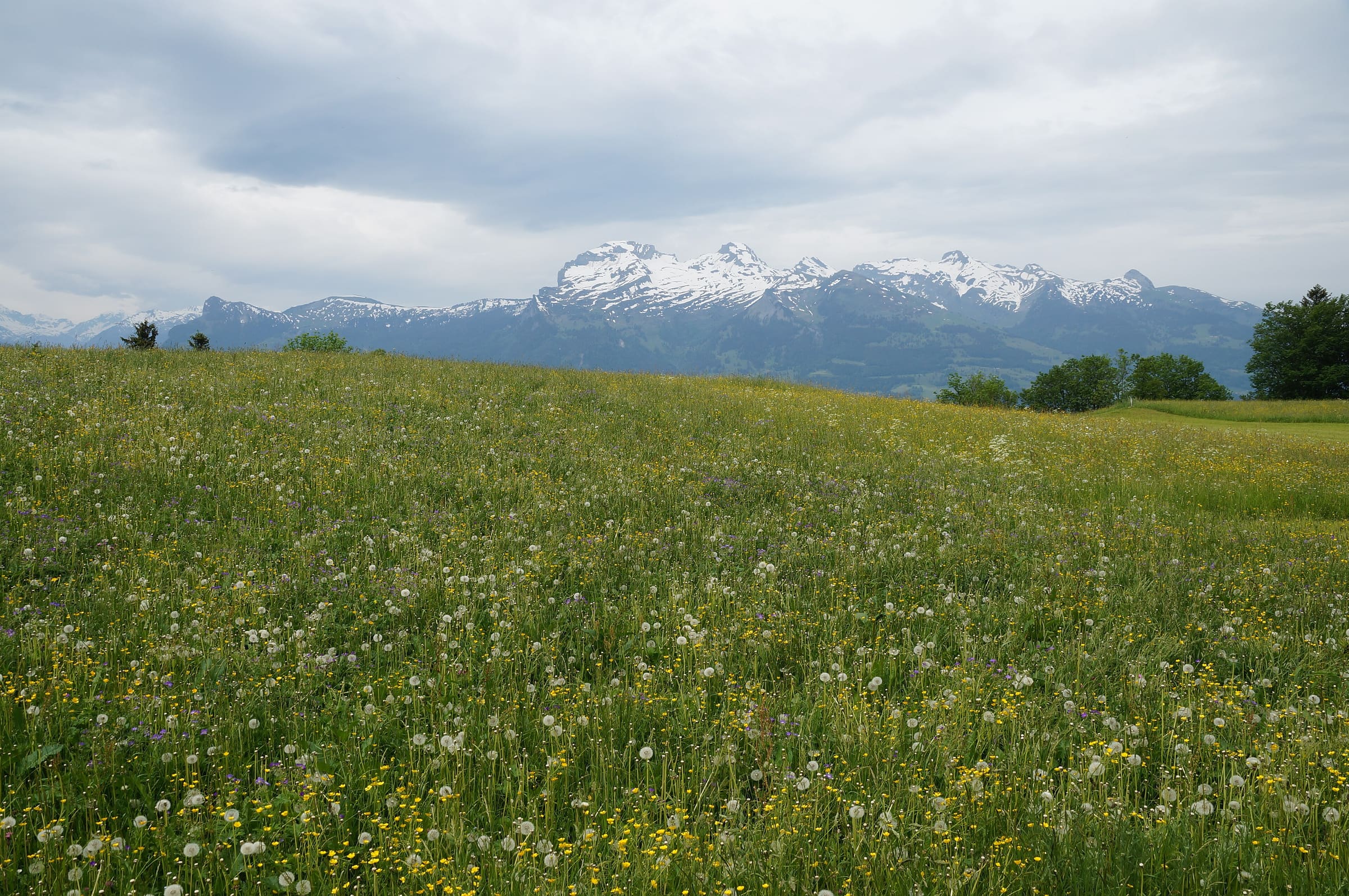
Rheintaler Höhenweg
Reported OSM relation: SchweizMobil regional hiking route 86, Rheintaler Höhenweg, Rorschach to Sargans, 106 km OSM 2-D. Vertical figures sampled from Copernicus GLO-30.
Distance 106 km Reported · High point provisional (DEM sample) · T2 · OSM route
Glarus
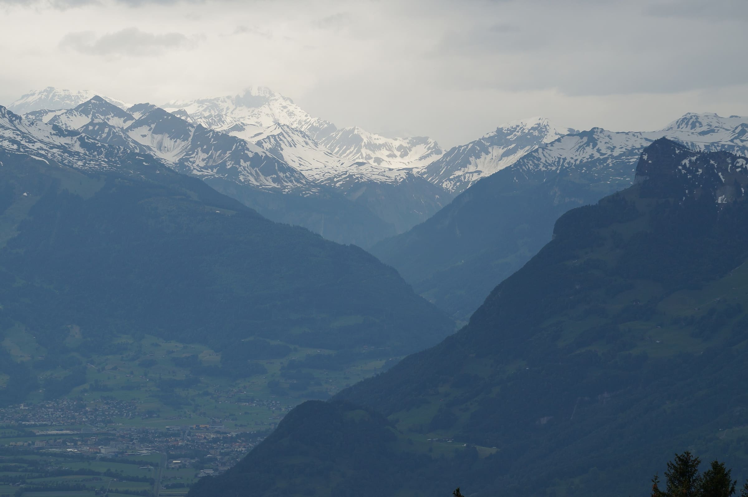
Sardona-Welterbe-Weg
Reported OSM relation: SchweizMobil regional hiking route 73, Sardona-Welterbe-Weg, Filzbach to Flims, 101.1 km OSM 2-D. Vertical figures sampled from Copernicus GLO-30.
Distance 101.1 km Reported · High point provisional (DEM sample) · T2 · OSM route
Schwyz
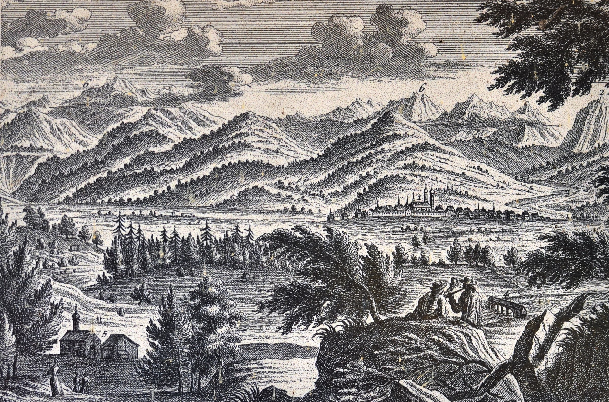
Schwyzer Höhenweg
Reported OSM relation: SchweizMobil regional hiking route 63, Schwyzer Höhenweg, Küssnacht to Einsiedeln, 61.9 km OSM 2-D. Vertical figures sampled from Copernicus GLO-30.
Distance 61.9 km Reported · High point provisional (DEM sample) · T2 · OSM route
Oberösterreich
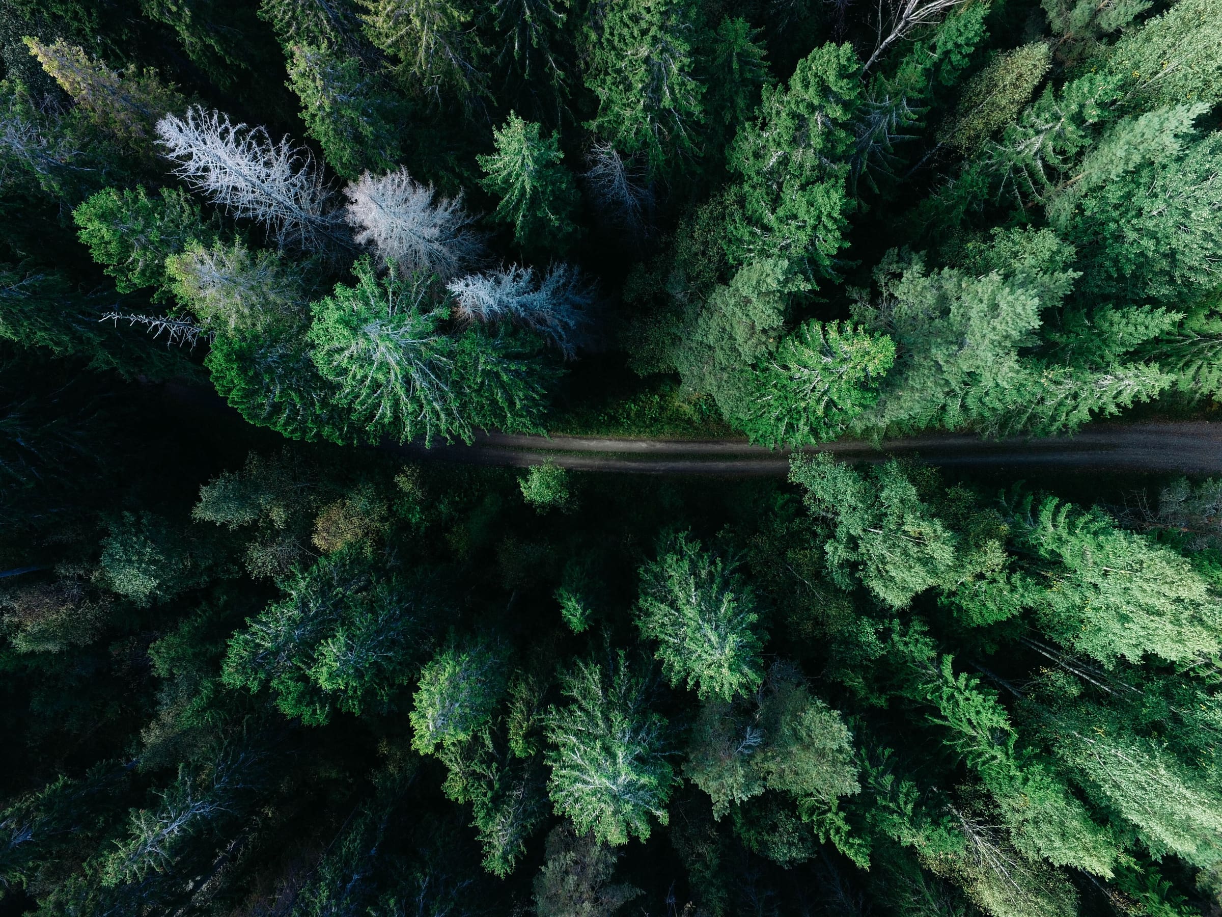
Sebaldusweg
Reported OSM relation: Sebaldusweg, Großraming loop (Ennstal), 85.5 km OSM 2-D. Vertical figures sampled from Copernicus GLO-30.
Distance 85.5 km Reported · High point provisional (DEM sample) · 4d · SAC T2
Ticino
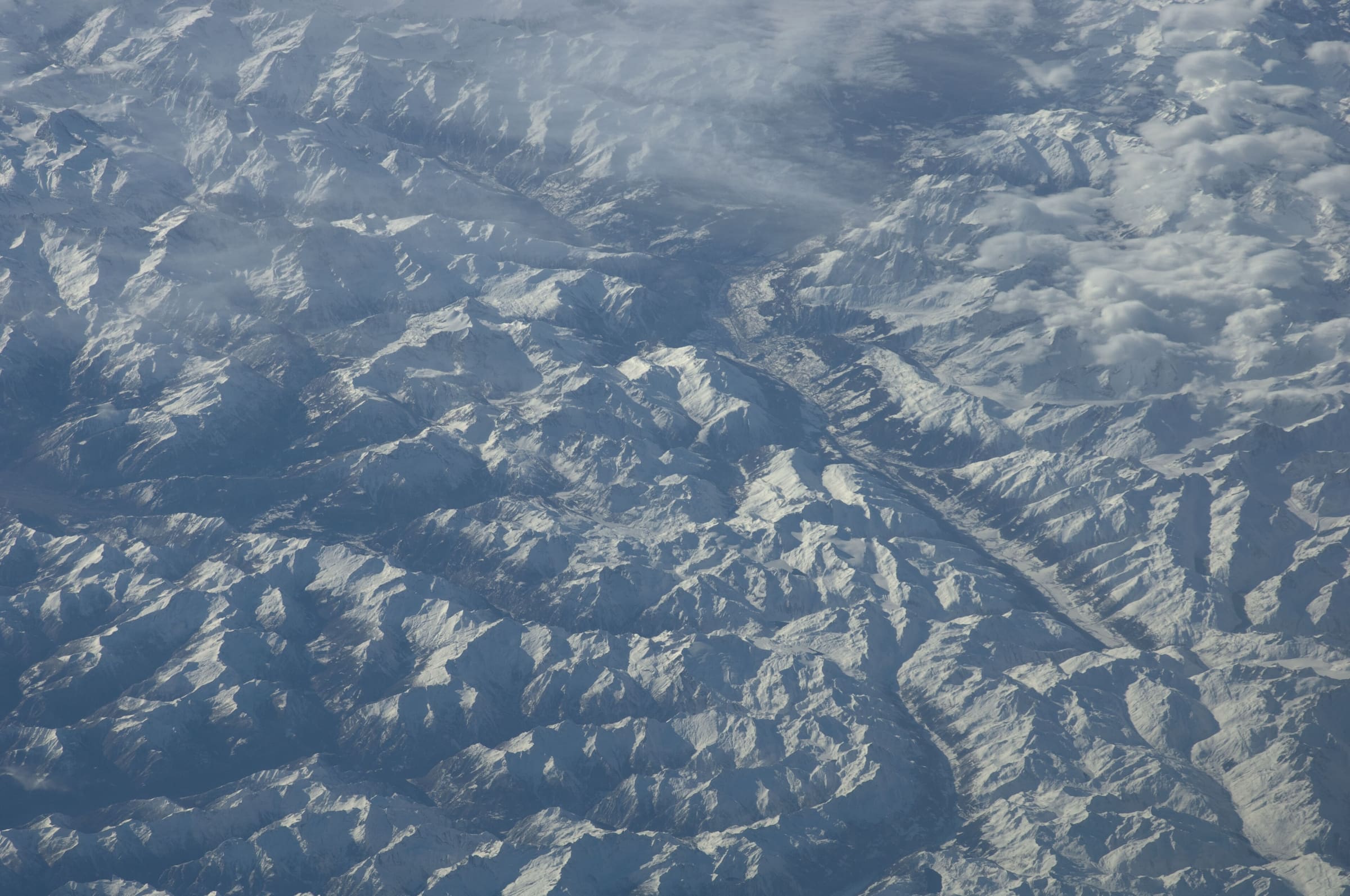
Sentiero Cristallina
Reported OSM relation: SchweizMobil regional hiking route 59, Sentiero Cristallina, Bignasco to Airolo, 42.5 km OSM 2-D. Vertical figures sampled from Copernicus GLO-30.
Distance 42.5 km Reported · Ascent provisional (DEM sample) · High point provisional (DEM sample) · T2 · OSM route
Ticino
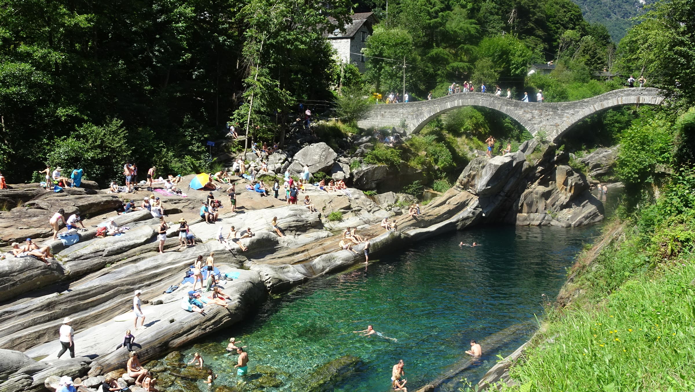
Sentiero Verzasca
Reported OSM relation: SchweizMobil regional hiking route 74, Sentiero Verzasca, Sonogno to Locarno, 34.5 km OSM 2-D. Vertical figures sampled from Copernicus GLO-30.
Distance 34.5 km Reported · Ascent provisional (DEM sample) · High point provisional (DEM sample) · T2 · OSM route
Ancash
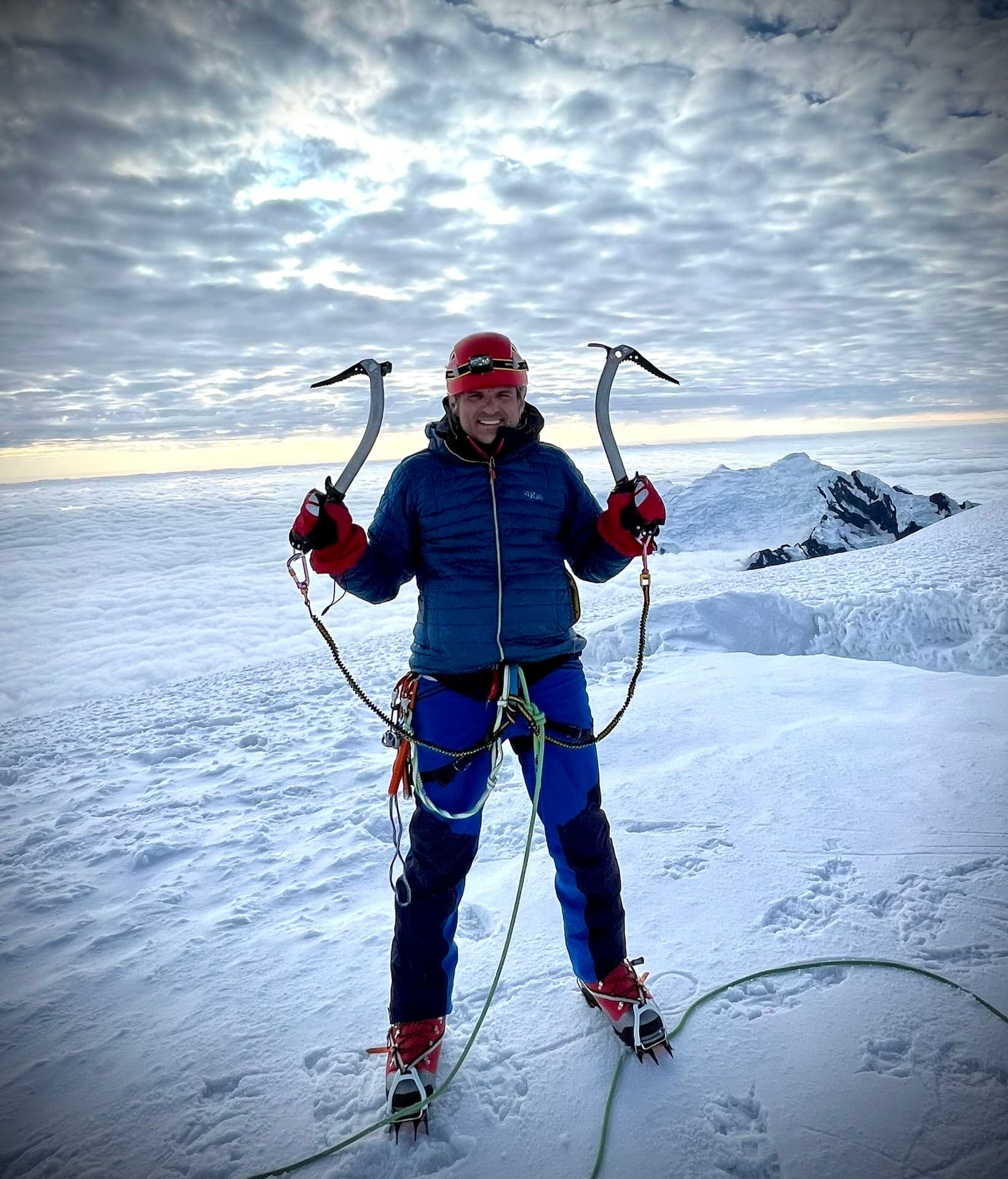
Santa Cruz Trek
OSM Cashapampa–Vaquería line in Huascarán National Park (relation 1732163), 45.76 km, DEM high 4,755 m. SERNANP boleto S/ 30, S/ 60, or S/ 150 by duration (FY2024, Verified). Not relation 19672457.
Distance 45.76 km Reported · Ascent provisional (DEM sample) · High point provisional (DEM sample) · T2 · OSM route
Maharashtra
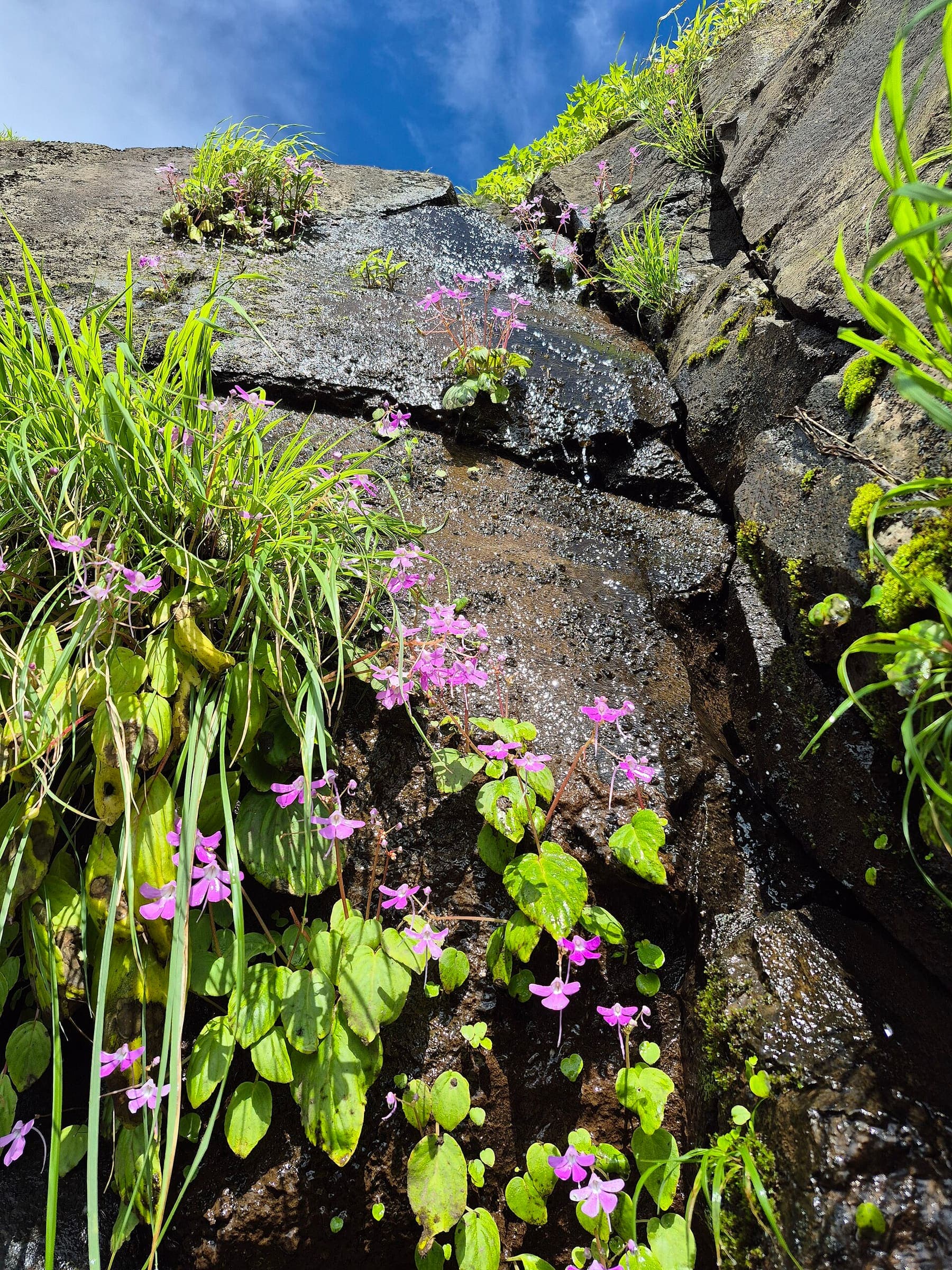
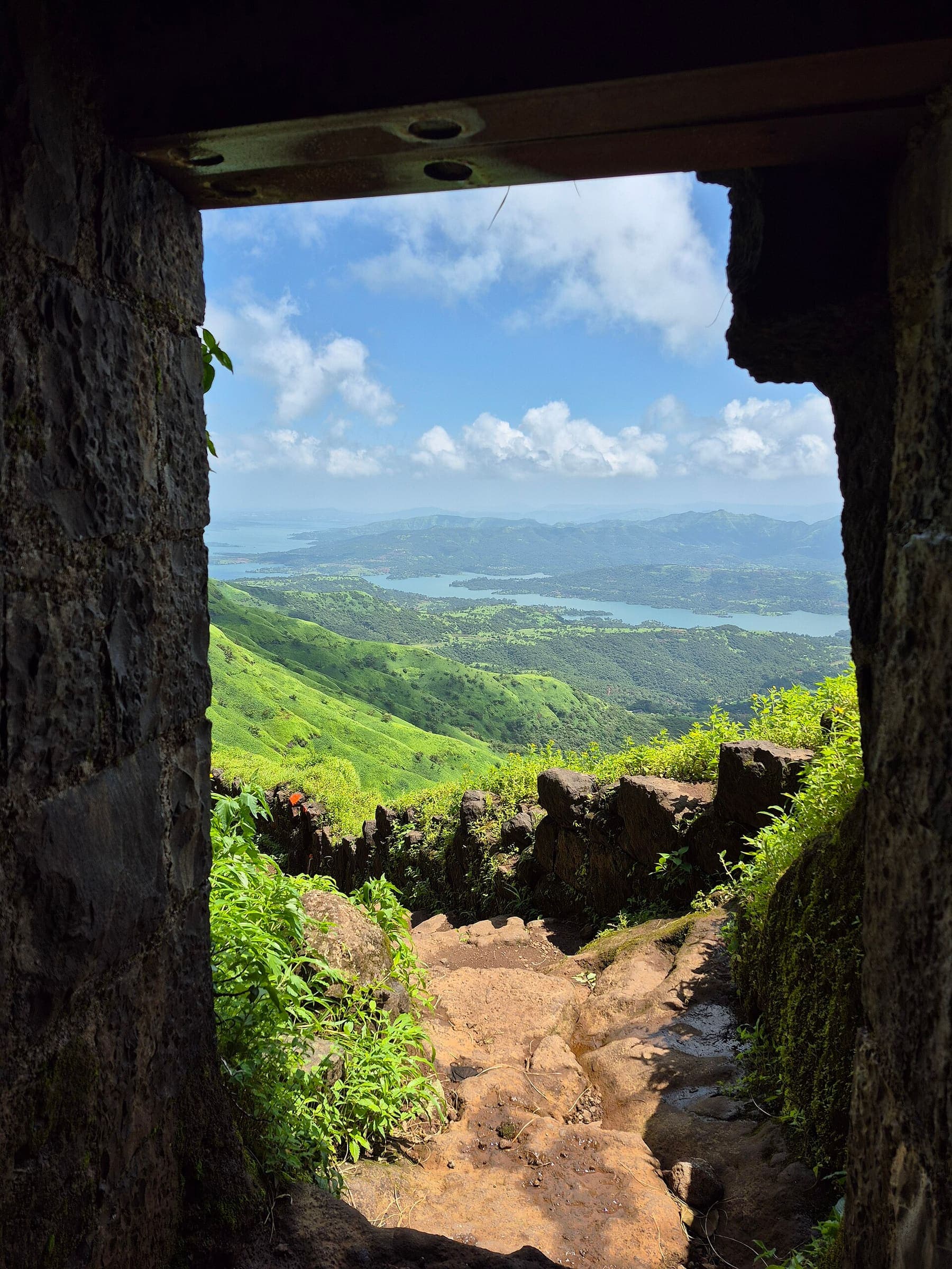
Rajgad Fort
OSM hiking route Rajgad Fort, Maharashtra (7.47 km line). Vertical figures from the GLO-30 resample. Days unknown.
Distance 7.47 km Reported · Ascent provisional (DEM sample) · High point provisional (DEM sample) · T2 · OSM route
Maharashtra
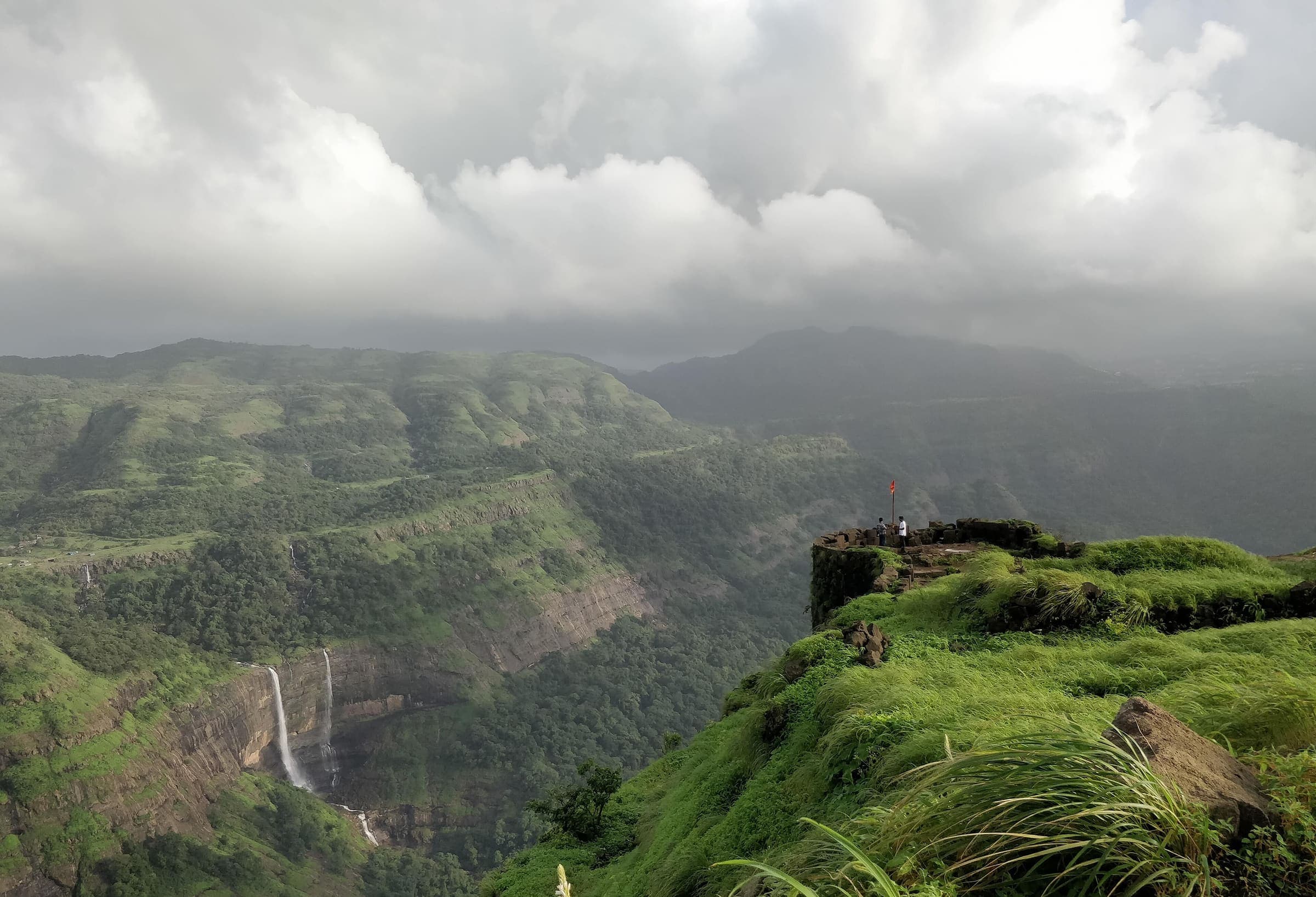
Rajgad to Torna
OSM hiking route Rajgad to Torna, Maharashtra (12.64 km line). connector traverse. Vertical figures from the GLO-30 resample. Days unknown.
Distance 12.64 km Reported · Ascent provisional (DEM sample) · High point provisional (DEM sample) · T2 · OSM route
Maharashtra
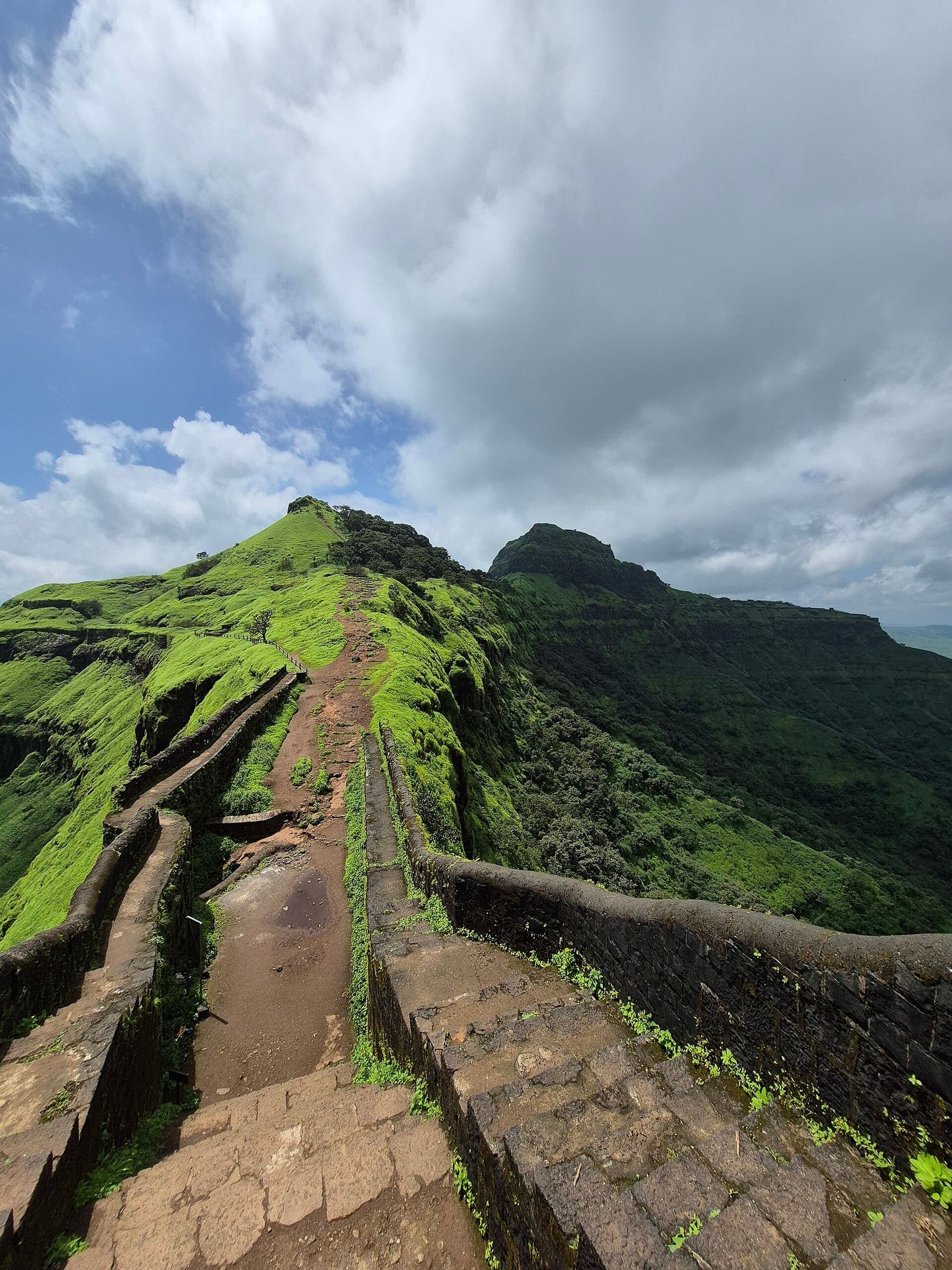
Rajmachi Fort
OSM hiking route Rajmachi Fort, Maharashtra (15.77 km line). out-and-back; one-way 15.77 km, round-trip 31.54 km in prose. Vertical figures from the GLO-30 resample. Days unknown.
Distance 15.77 km Reported · Ascent provisional (DEM sample) · High point provisional (DEM sample) · T2 · OSM route
Maharashtra
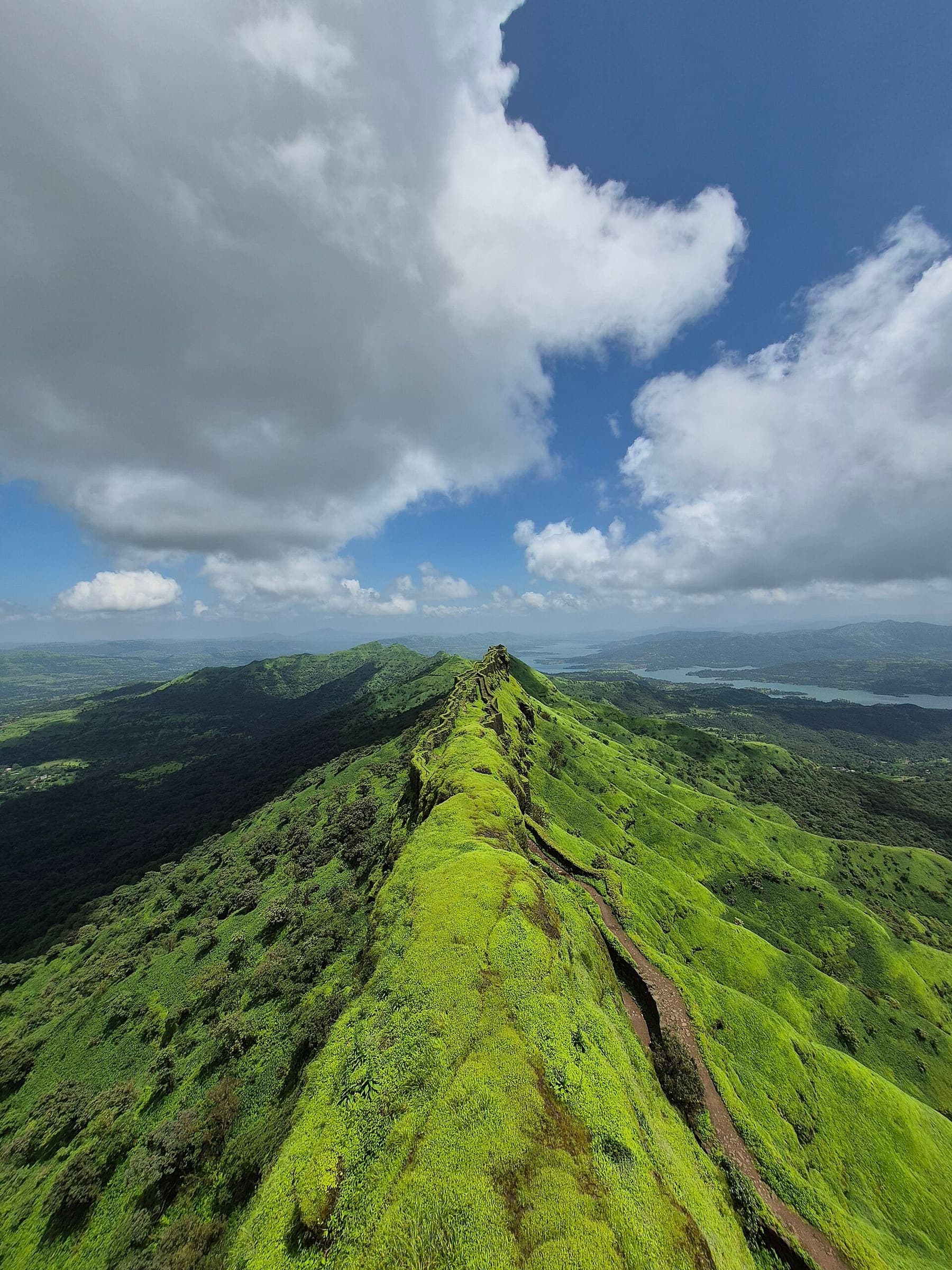
Rameshej Fort
OSM hiking route Rameshej Fort, Maharashtra (2.19 km line). out-and-back; one-way 2.19 km, round-trip 4.38 km in prose; ⚠ 3-component 71 m gap. Vertical figures from the GLO-30 resample. Days unknown.
Distance 2.19 km Reported · Ascent provisional (DEM sample) · High point provisional (DEM sample) · T2 · OSM route
Maharashtra
Rohida Fort
OSM hiking route Rohida Fort, Maharashtra (2.66 km line). out-and-back; one-way 2.66 km, round-trip 5.32 km in prose. Vertical figures from the GLO-30 resample. Days unknown.
Distance 2.66 km Reported · Ascent provisional (DEM sample) · High point provisional (DEM sample) · T2 · OSM route
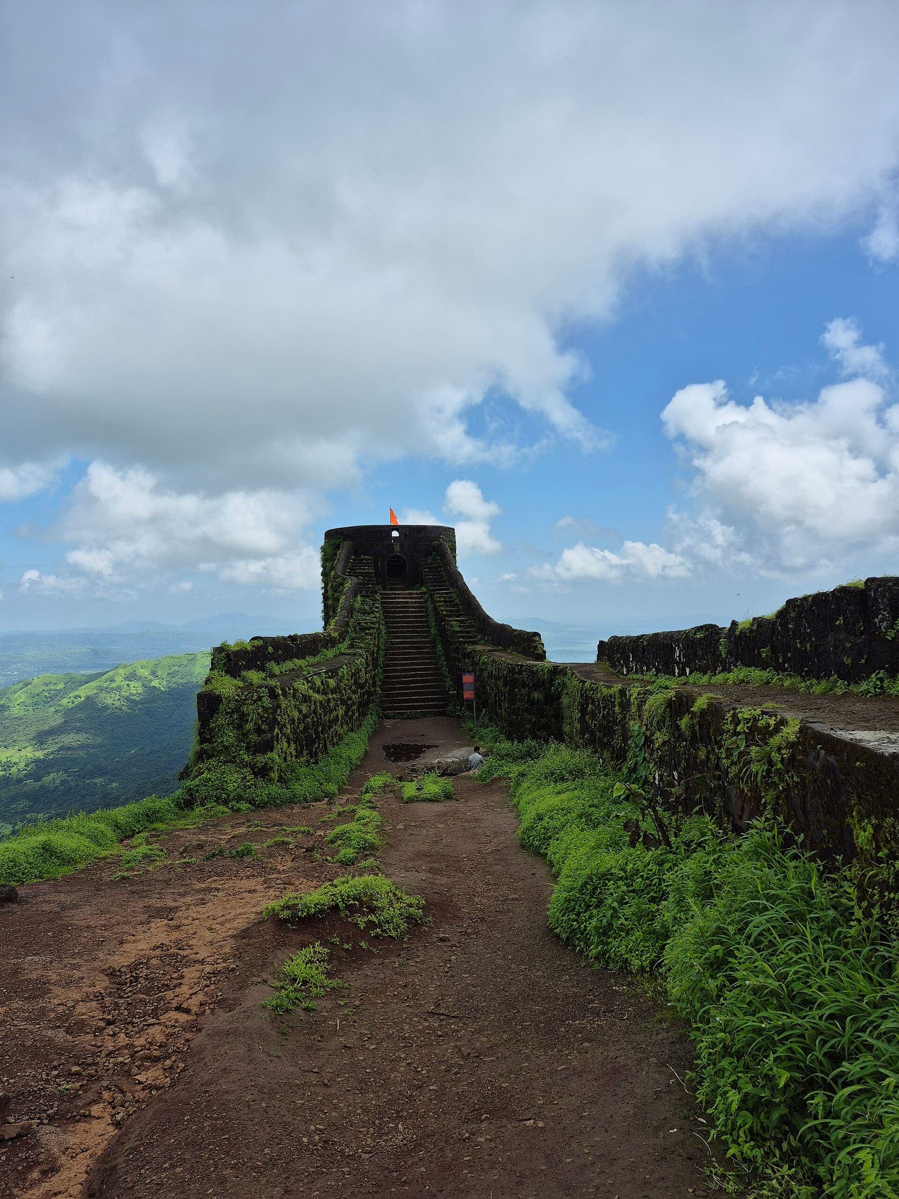
Maharashtra
Sagargad Fort
OSM hiking route Sagargad Fort, Maharashtra (5.98 km line). out-and-back; one-way 5.98 km, round-trip 11.96 km in prose. Vertical figures from the GLO-30 resample. Days unknown.
Distance 5.98 km Reported · Ascent provisional (DEM sample) · High point provisional (DEM sample) · T2 · OSM route
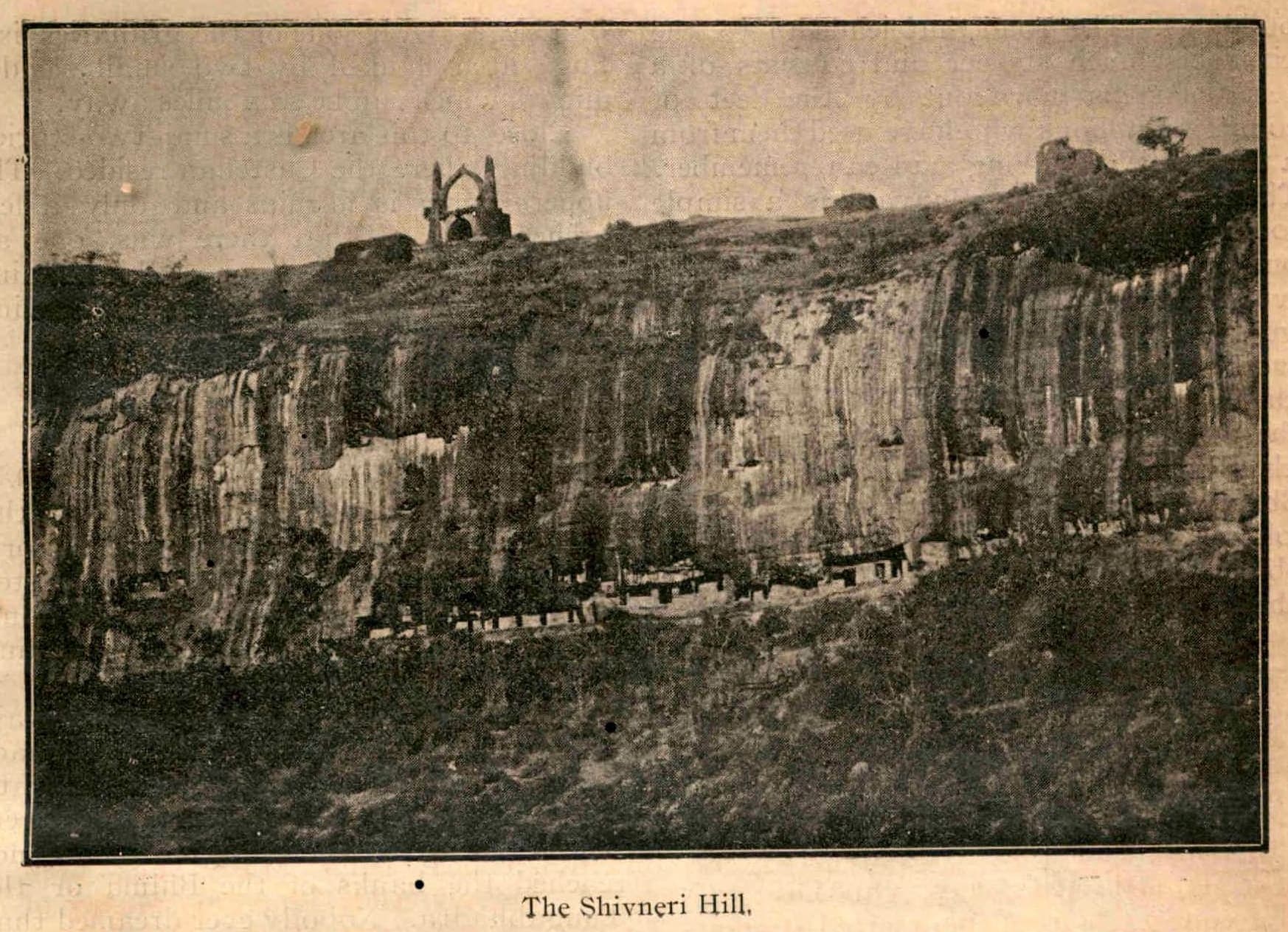
Maharashtra
Shivneri Fort
OSM hiking route Shivneri Fort, Maharashtra (3.18 km line). Vertical figures from the GLO-30 resample. Days unknown.
Distance 3.18 km Reported · Ascent provisional (DEM sample) · High point provisional (DEM sample) · T2 · OSM route
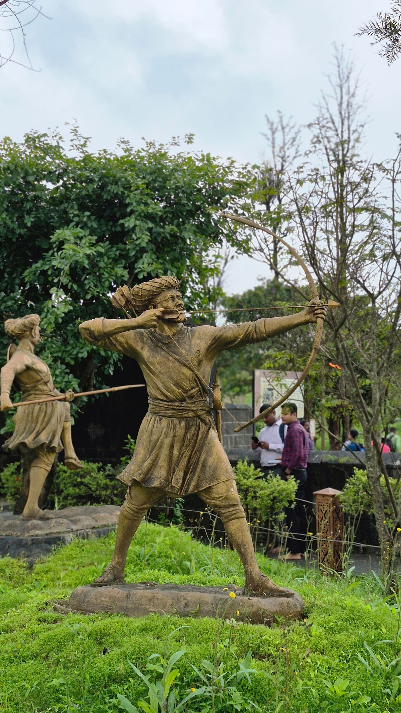
Maharashtra
Sinhagad
OSM hiking route Sinhagad, Maharashtra (5.85 km line). Vertical figures from the GLO-30 resample. Days unknown.
Distance 5.85 km Reported · Ascent provisional (DEM sample) · High point provisional (DEM sample) · T2 · OSM route
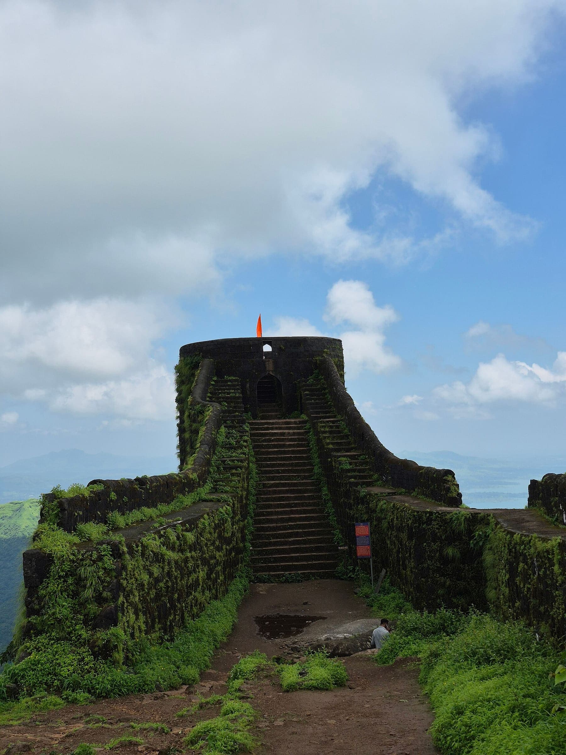
Maharashtra
Sinhagad to Rajgad
OSM hiking route Sinhagad to Rajgad, Maharashtra (14.13 km line). connector traverse. Vertical figures from the GLO-30 resample. Days unknown.
Distance 14.13 km Reported · Ascent provisional (DEM sample) · High point provisional (DEM sample) · T2 · OSM route
Nahuel Huapi
Refugio Frey
OSM ways for Sendero Villa Catedral–Refugio Frey, stitched. Alternate approaches were excluded.
Distance 9.38 km Reported · Ascent provisional (DEM sample) · High point provisional (DEM sample) · T3 · OSM route
Uttarakhand
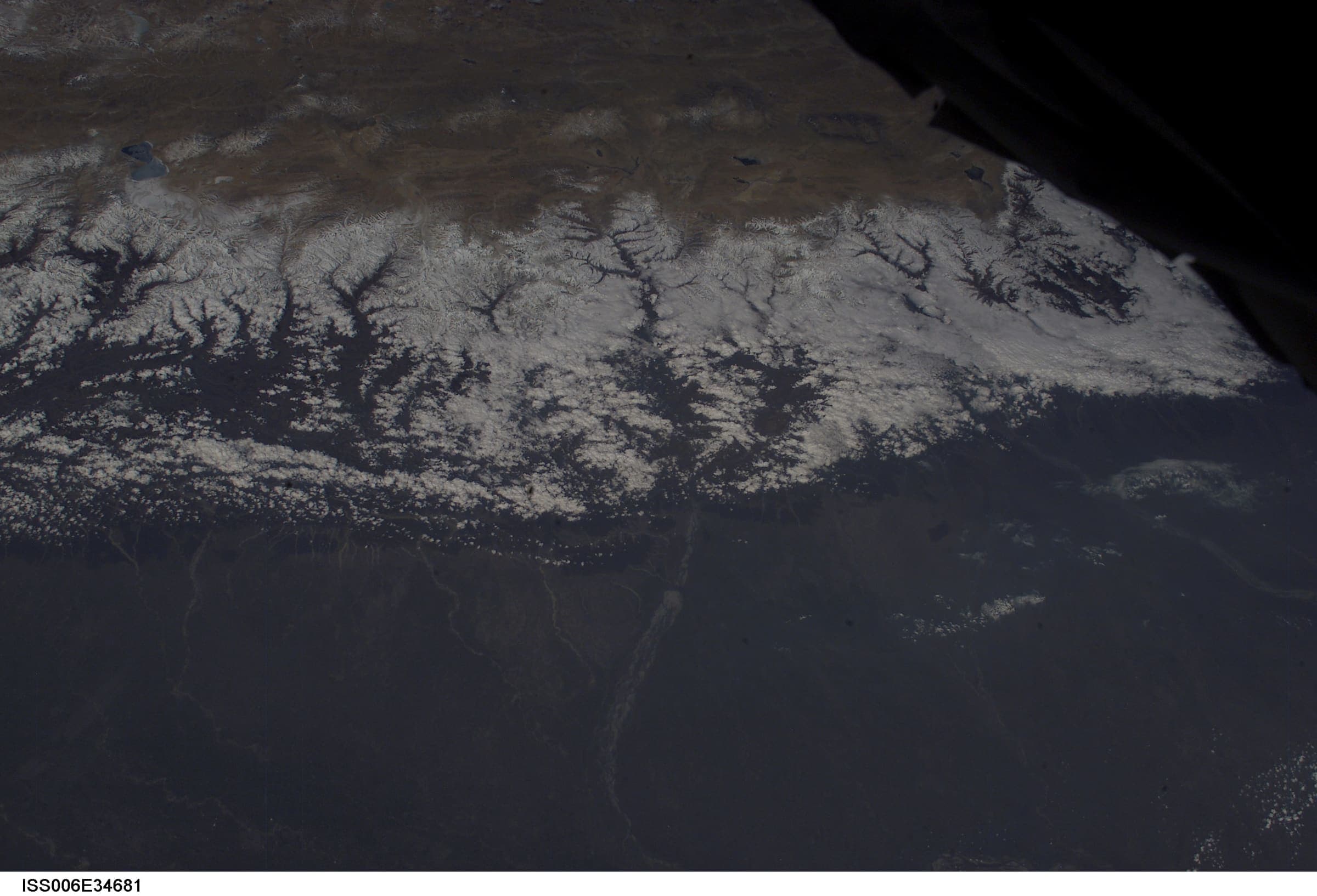
Rali to Patwariyan
OSM hiking segment Rali to Patwariyan, Uttarakhand (32.58 km line). Village-to-village path; no cited itinerary. Vertical figures from the GLO-30 resample. Days unknown.
Distance 32.58 km Reported · Ascent provisional (DEM sample) · High point provisional (DEM sample) · T2 · OSM route
Uttarakhand
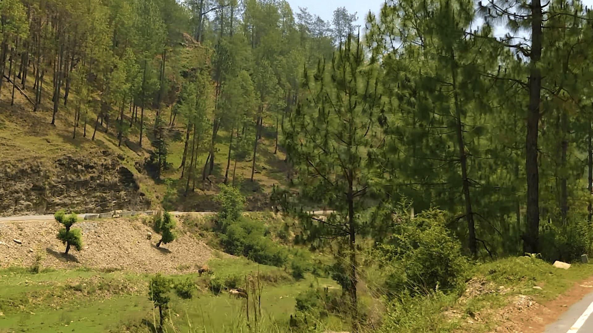
Roopkund
OSM hiking route Lohajung to Roopkund, Uttarakhand (27.13 km line). Kanol approach 12297059 is absorbed on this page, not merged into the line. Geometry stops below the lake. Vertical figures from the GLO-30 resample. Days unknown.
Distance 27.13 km Reported · Ascent provisional (DEM sample) · High point provisional (DEM sample) · T2 · OSM route
Himachal Pradesh
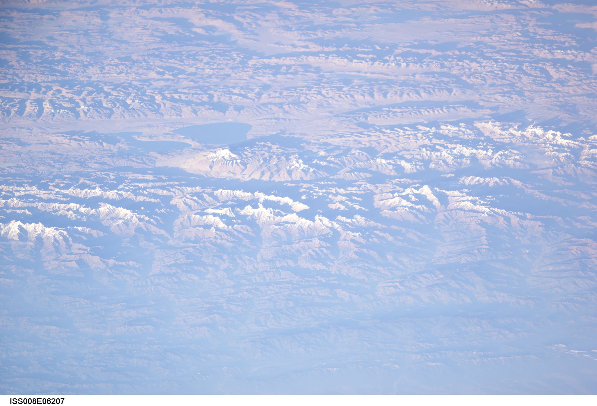
Rupin Pass
OSM hiking route Rupin Pass, Himachal Pradesh (38.55 km line). Starts Dhaula, Uttarakhand; ends Sangla. Filed here; watch for a Uttarakhand duplicate. Vertical figures from the GLO-30 resample. Days unknown.
Distance 38.55 km Reported · Ascent provisional (DEM sample) · High point provisional (DEM sample) · T4 · OSM route
Himachal Pradesh
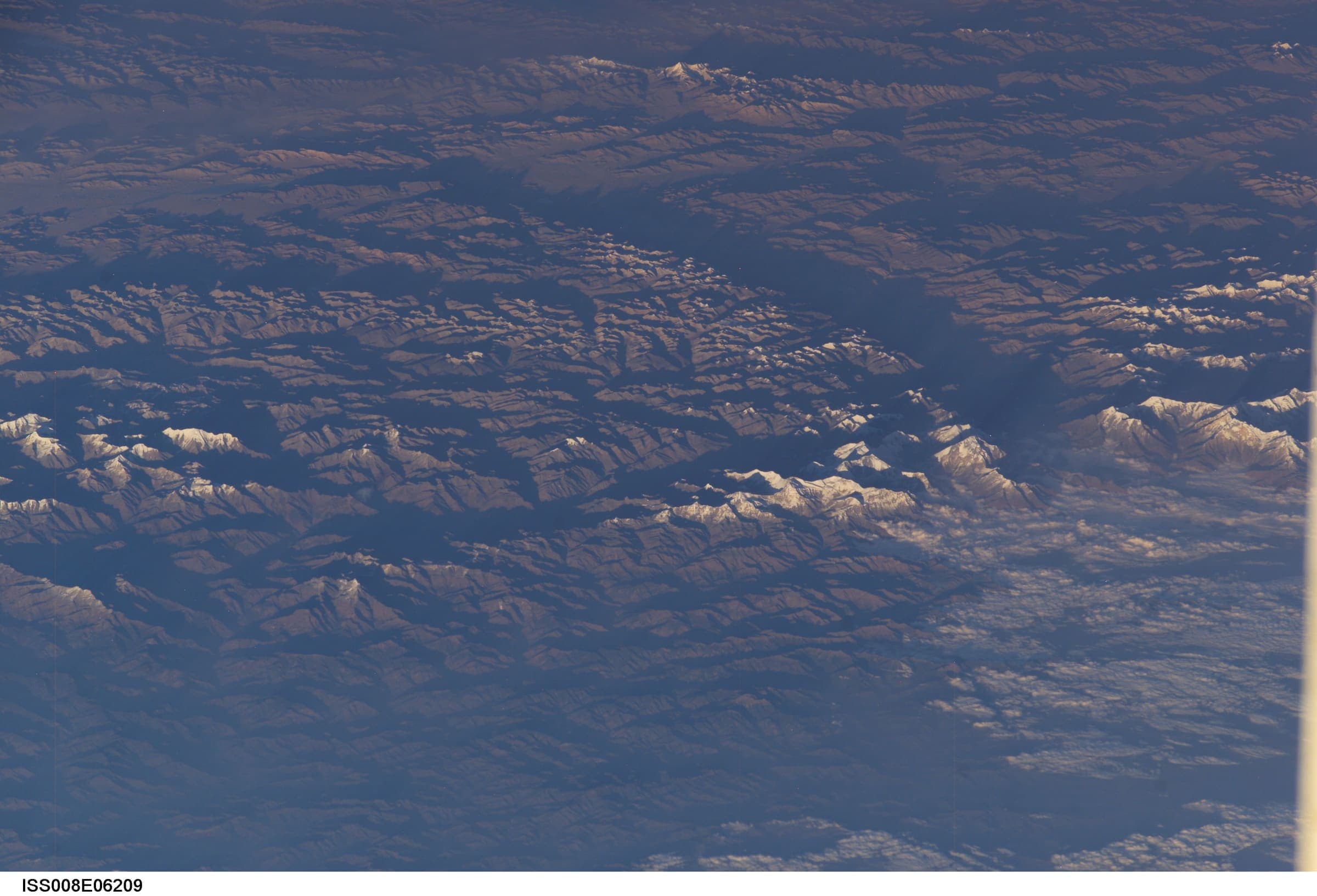
Saluni to Baleesa
OSM hiking traverse Saluni to Baleesa, Himachal Pradesh (58.9 km line). Crosses Chamba into J&K Bhalessa; filed here. Not bhaderwah-to-saluni. Vertical figures from the GLO-30 resample. Days unknown.
Distance 58.9 km Reported · High point provisional (DEM sample) · T2 · OSM route
Himachal Pradesh
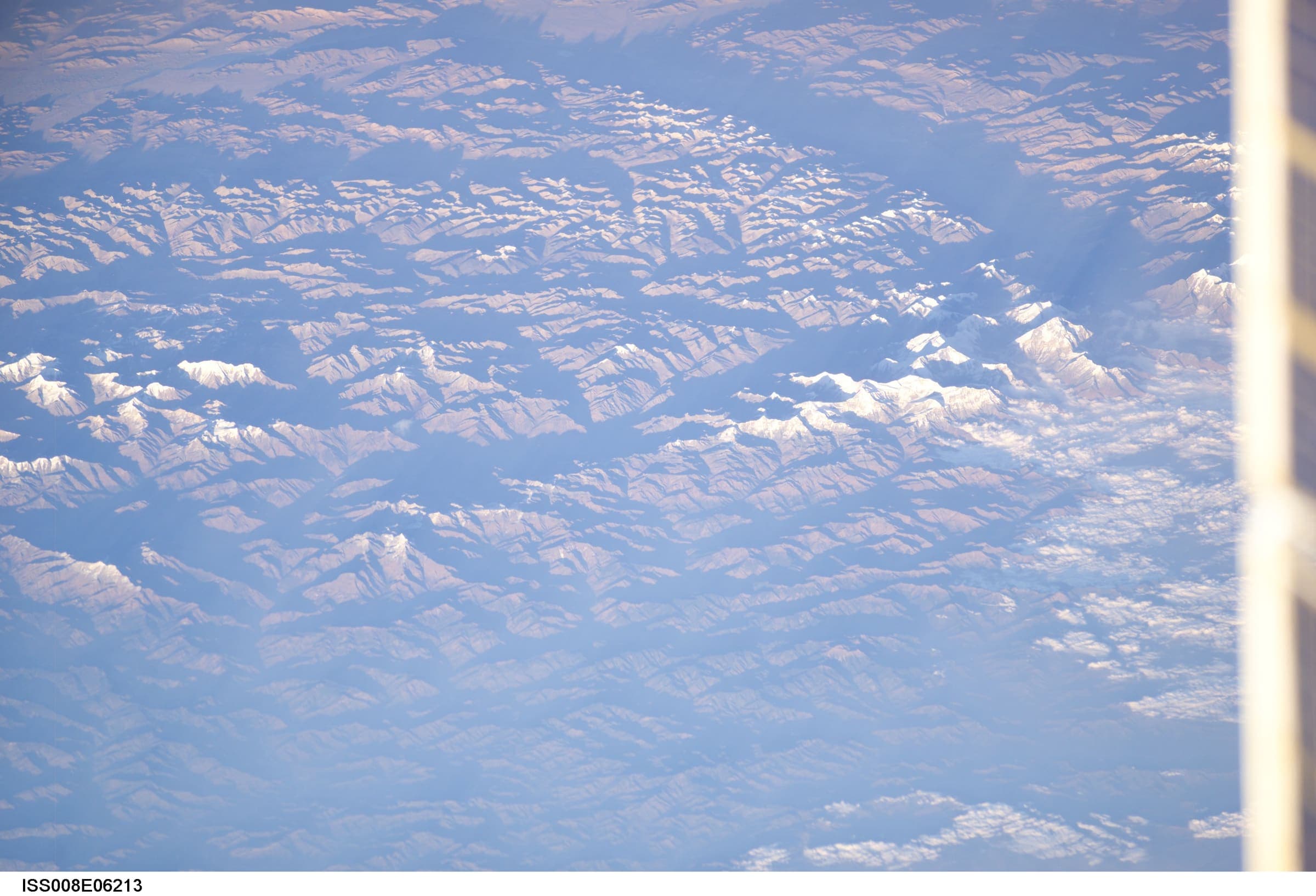
Sar Pass
OSM hiking route Sar Pass, Himachal Pradesh (33.19 km line). Vertical figures from the GLO-30 resample. Days unknown.
Distance 33.19 km Reported · Ascent provisional (DEM sample) · High point provisional (DEM sample) · T4 · OSM route
Ladakh
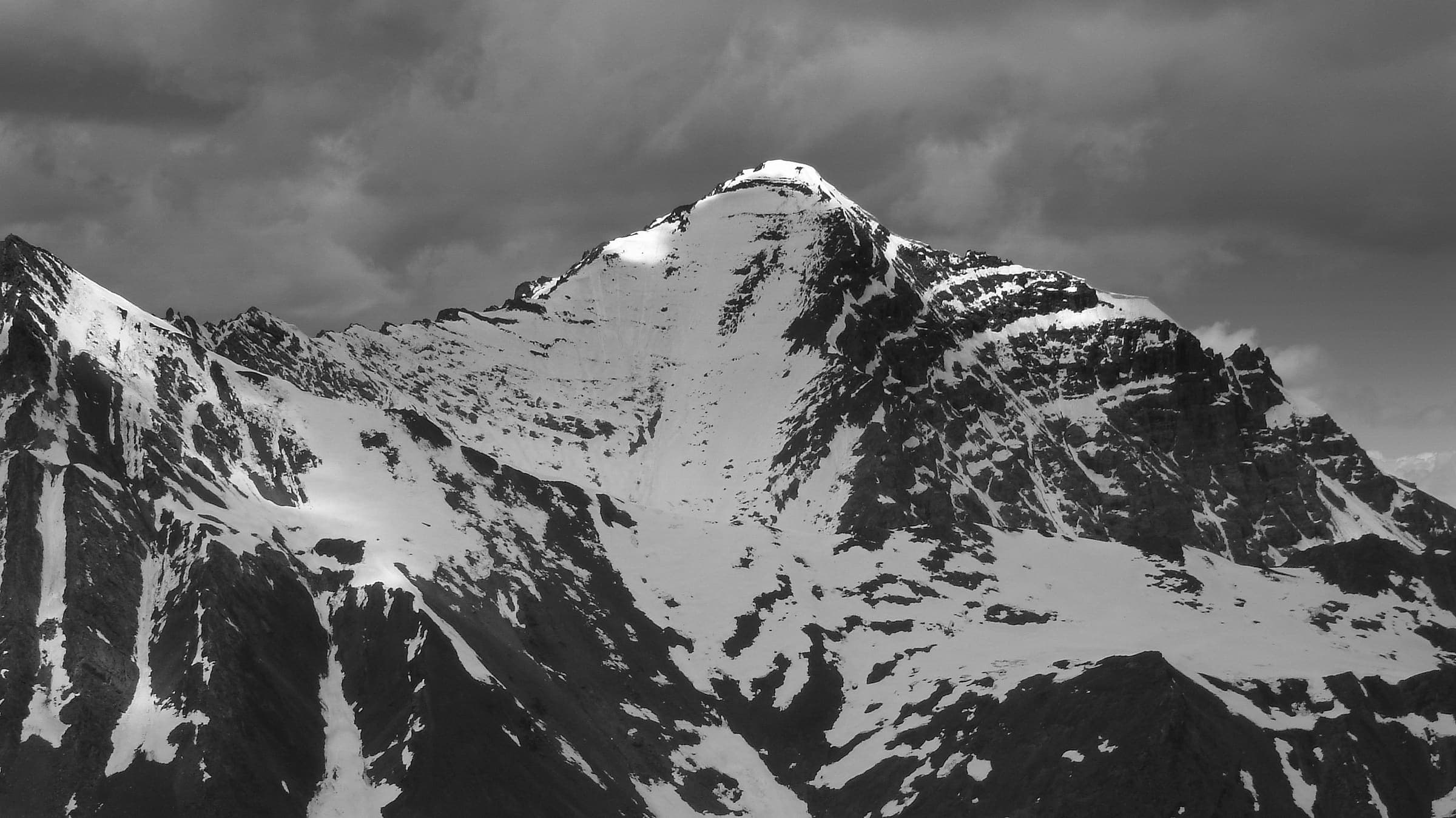
Sarchu to Pukthal Gompa
OSM hiking traverse Sarchu to Pukthal Gompa, Ladakh (71.42 km Zanskar line). Member ways untagged; SAC ungraded. Vertical figures from the GLO-30 resample. Days unknown. additional.
Distance 71.42 km Reported · High point provisional (DEM sample) · T2 · OSM route
Himachal Pradesh
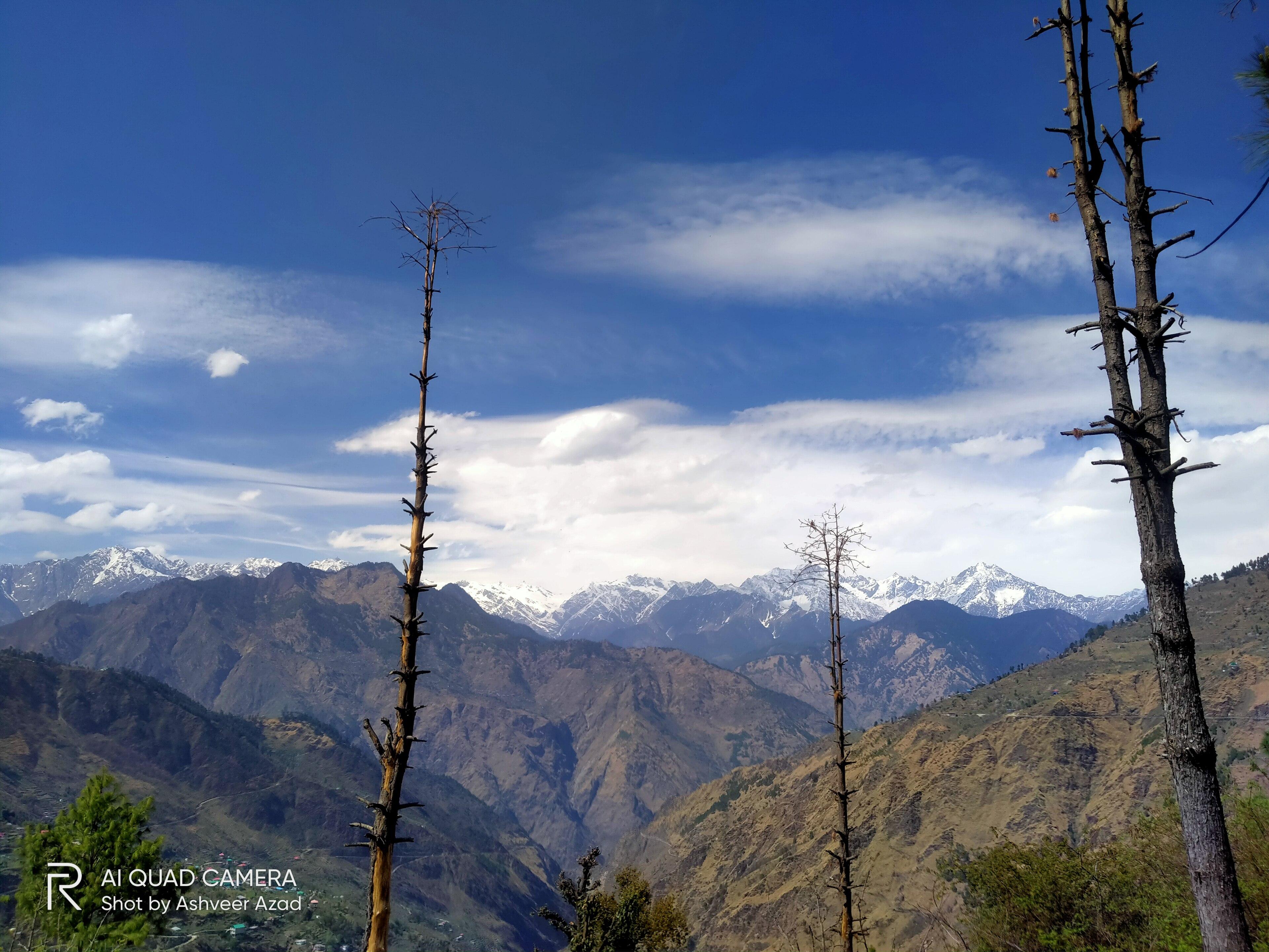
Shrikhand Mahadev
OSM hiking route Shrikhand Mahadev, Himachal Pradesh (18.15 km line). OSM km vs Wikipedia 32 km (different extent). Yatra registration required. Vertical figures from the GLO-30 resample. Days unknown.
Distance 18.15 km Reported · Ascent provisional (DEM sample) · High point provisional (DEM sample) · T2 · OSM route
Uttarakhand
Sitel to Pana
OSM hiking segment Sitel to Pana, Uttarakhand (38.47 km line). Village-to-village path; no cited itinerary. Vertical figures from the GLO-30 resample. Days unknown.
Distance 38.47 km Reported · Ascent provisional (DEM sample) · High point provisional (DEM sample) · T2 · OSM route
Karnataka
Skandagiri
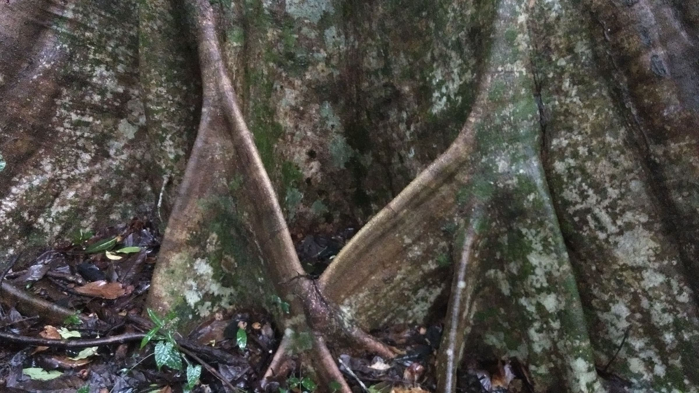
OSM hiking route Skandagiri, Karnataka (4.95 km line). OSM km vs Wikipedia 3 km. OSM tag=6 is not the name. Ecotourism pass required. Vertical figures from the GLO-30 resample. Days unknown.
Distance 4.95 km Reported · Ascent provisional (DEM sample) · High point provisional (DEM sample) · T2 · OSM route
Ladakh
Sko Koh valley lakes
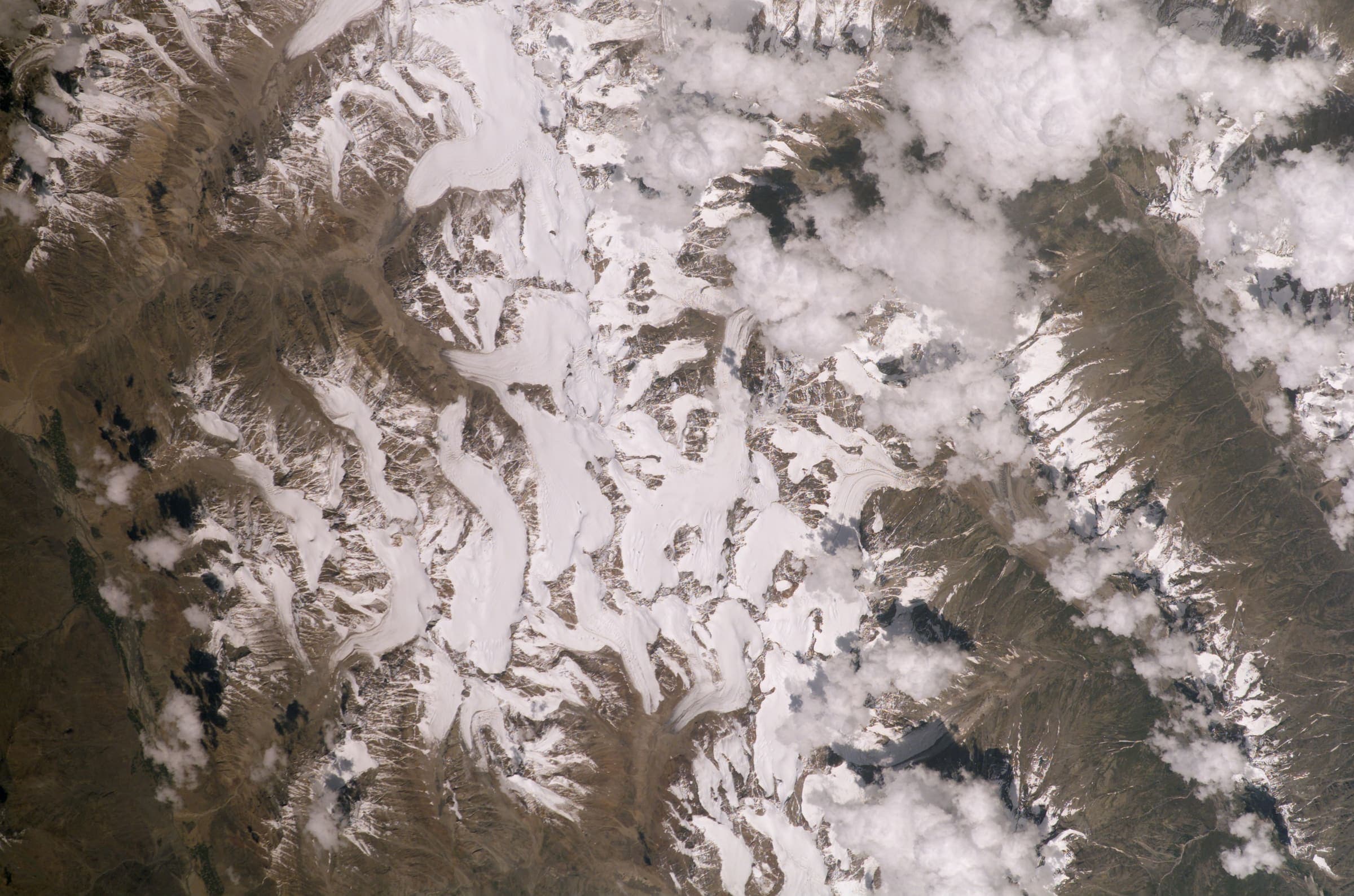
OSM hiking traverse Sko Koh valley lakes, Ladakh (33.63 km line ending in a lakes basin). Member ways untagged; SAC ungraded. Vertical figures from the GLO-30 resample. Days unknown. additional.
Distance 33.63 km Reported · High point provisional (DEM sample) · T2 · OSM route
Cusco
Salkantay Trek
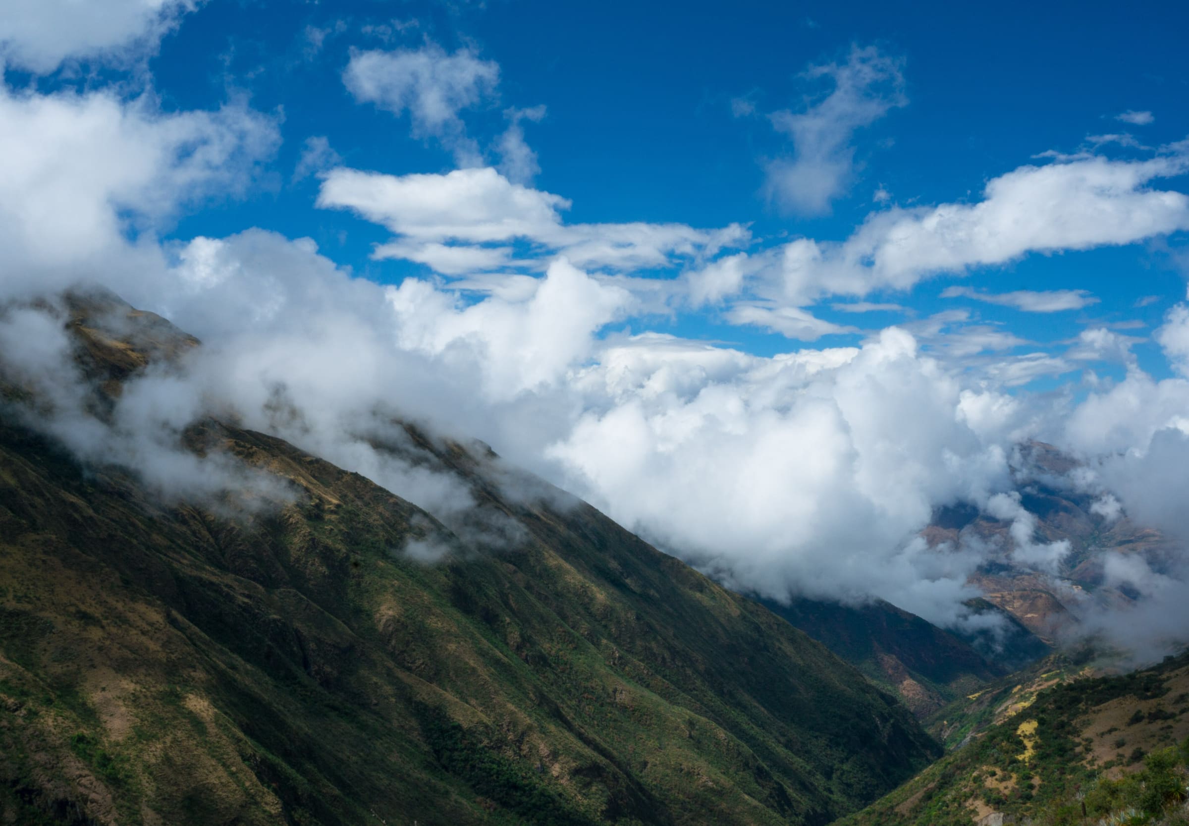
Salkantay Trek, OSM relation 2376237 (Camino del Inca Salkantay), 75.08 km, DEM high 4,625 m. No government walking permit is required; community fees at Soraypampa / Humantay are separate. Not the classic Inca Trail (15703494).
Distance 75.08 km Reported · Ascent provisional (DEM sample) · High point provisional (DEM sample) · 5d · SAC T1
Slovenia
Slovenian mountain trail
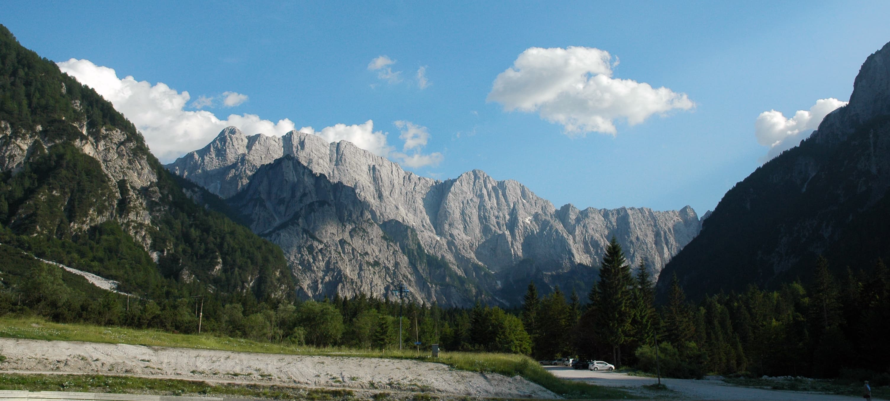
OSM hiking route in Slovenia (577.6 km line). Vertical figures sampled from Copernicus GLO-30. Continuous thru-walk averages about 30 days; about 49 days to walk all 12 sections (Cicerone, The Slovene Mountain Trail, provisional).
Distance 577.6 km Reported · High point provisional (DEM sample) · T2 · OSM route
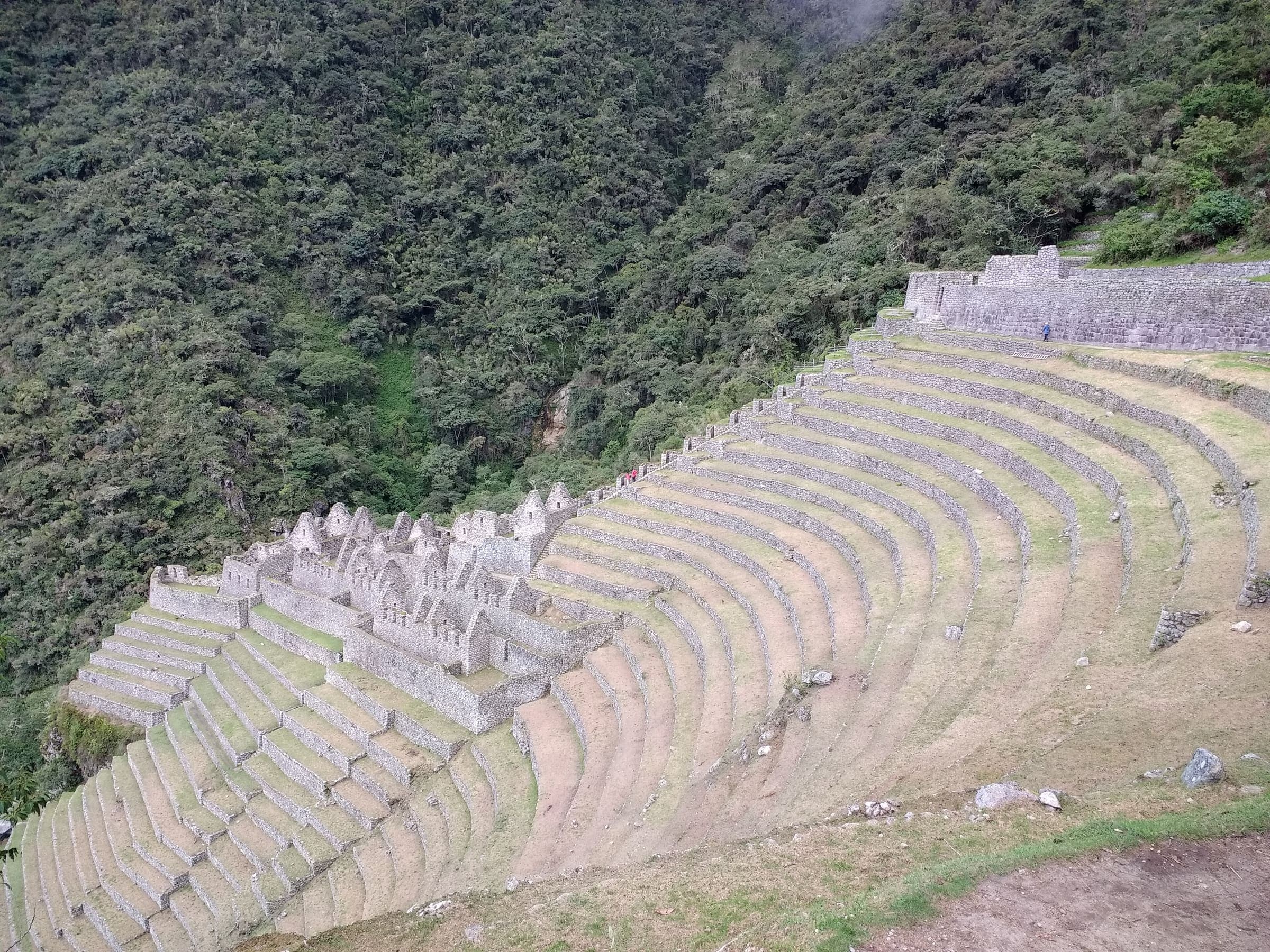
Cusco
Short Inca Trail (KM104)
Curated schematic — not walking distance. Pin-to-pin OSM named-waypoint line Chachabamba (KM104) → Wiñay Wayna → Inti Punku → Machu Picchu. Cited itinerary ~12 km one-way (provisional, secondary). Government permit, licensed operator. High 2,720 m is the Sun Gate landmark.
Distance 12 km Reported · High point Reported · 2d · SAC T2
Gilgit-Baltistan
Rakaposhi Base Camp
Schematic Minapin, Hapakun, Rakaposhi Base Camp. Rakaposhi 7,788 m is a landmark. DEM high 3,442 m is the camp. Not a GPS track.
Distance 6.52 km provisional (pin-to-pin derivation) · High point provisional (DEM sample) · T3 · schematic
Gilgit-Baltistan
Rush Lake
Schematic Hopar to Rush Lake camp. Not a GPS track. No published kilometre in the marquee list; 12.83 km is pin spacing. DEM at the camp is 4,617 m. Cited lake 4,694 m and Rush Peak 5,098 m are landmarks.
Distance 12.83 km provisional (pin-to-pin derivation) · High point provisional (DEM sample) · T3 · schematic

Mount Rainier
Skyline Trail (Mount Rainier)
Schematic Paradise Jackson Visitor Center to Panorama Point. Not a GPS track. Loop type. DEM high 2,103 m. Mount Rainier 4,392 m is a landmark.
Distance 2.04 km provisional (pin-to-pin derivation) · High point provisional (DEM sample) · 1d · SAC T2