
Trail records
Filter by country, access, region, distance, days, and SAC. Every card is a sourced record, not a crowd-drawn track dump. A–Z directory
Filters
36 of 36 · 36 edited records shown
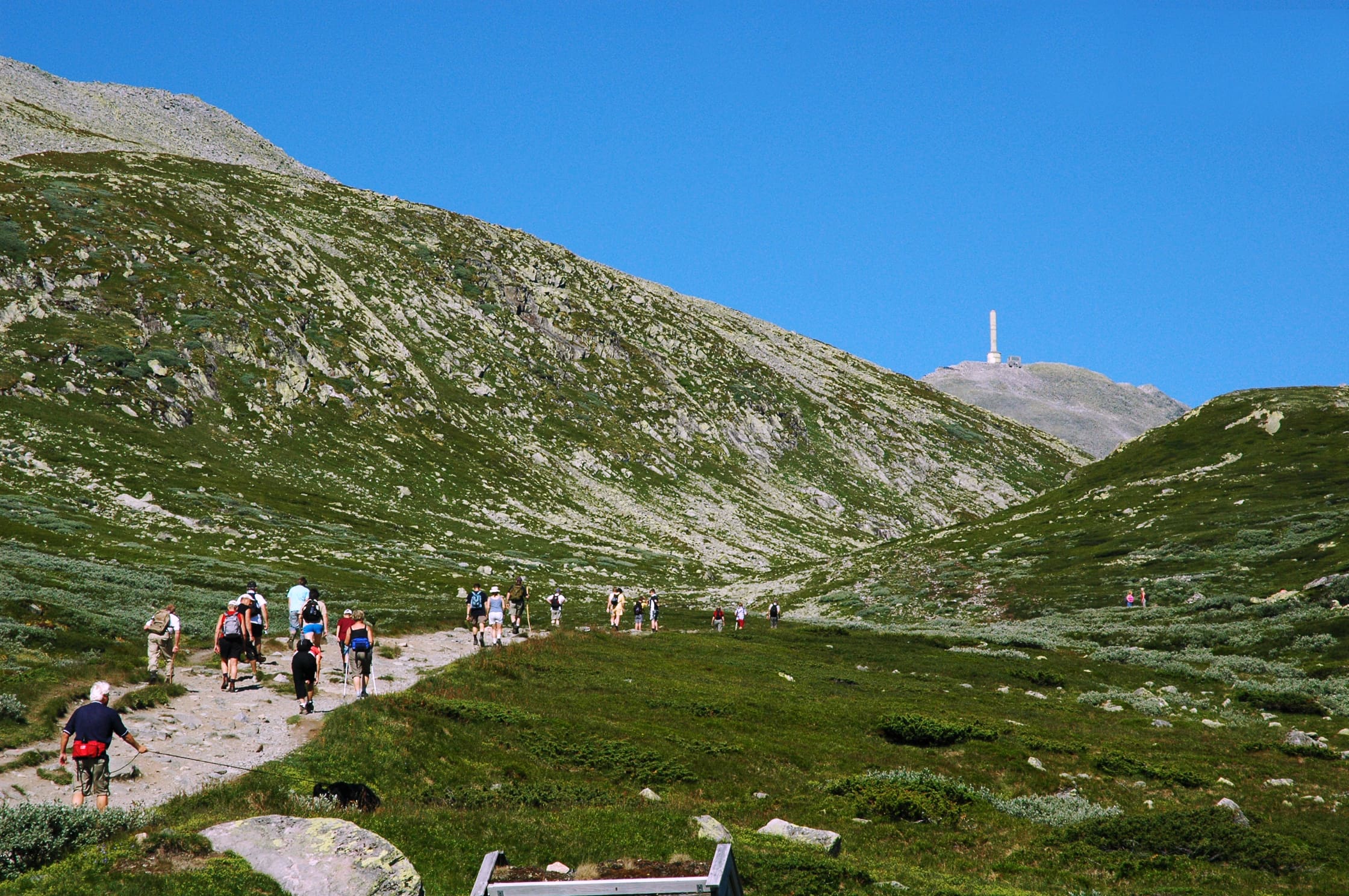
Tongariro
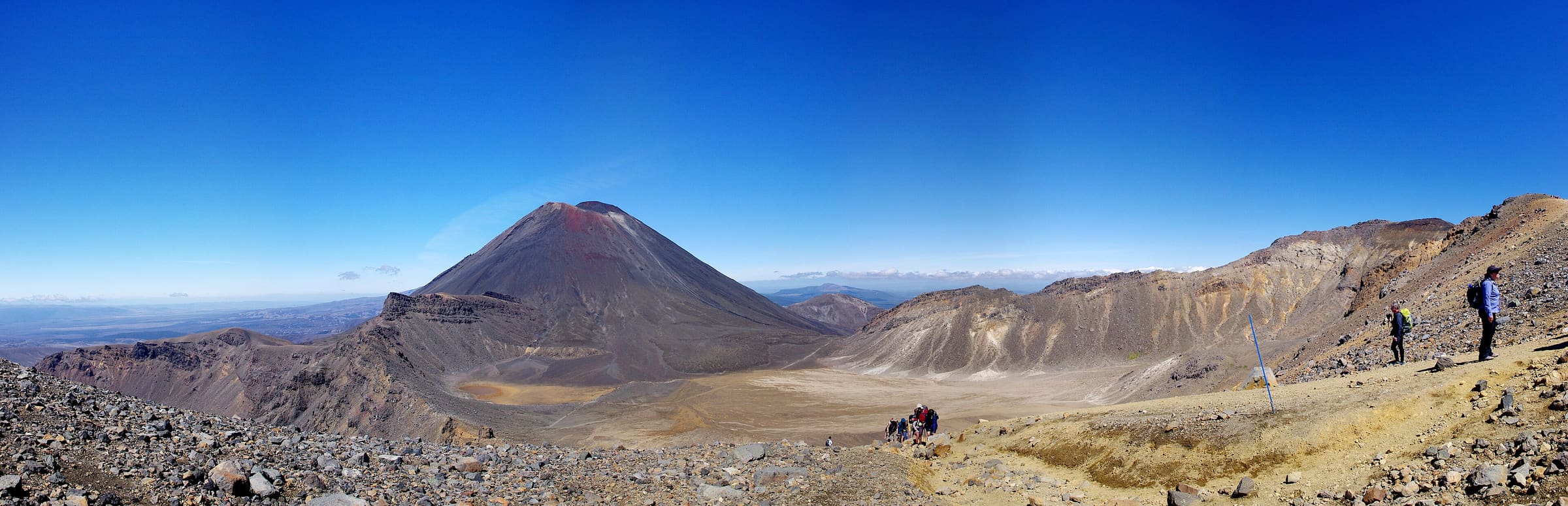
Tongariro Northern Circuit
OSM hiking route in Tongariro National Park, New Zealand (44.2 km loop). Vertical figures sampled from Copernicus GLO-30.
Distance 44.2 km Reported · Ascent provisional (DEM sample) · High point provisional (DEM sample) · 4d · SAC T2
Annapurna
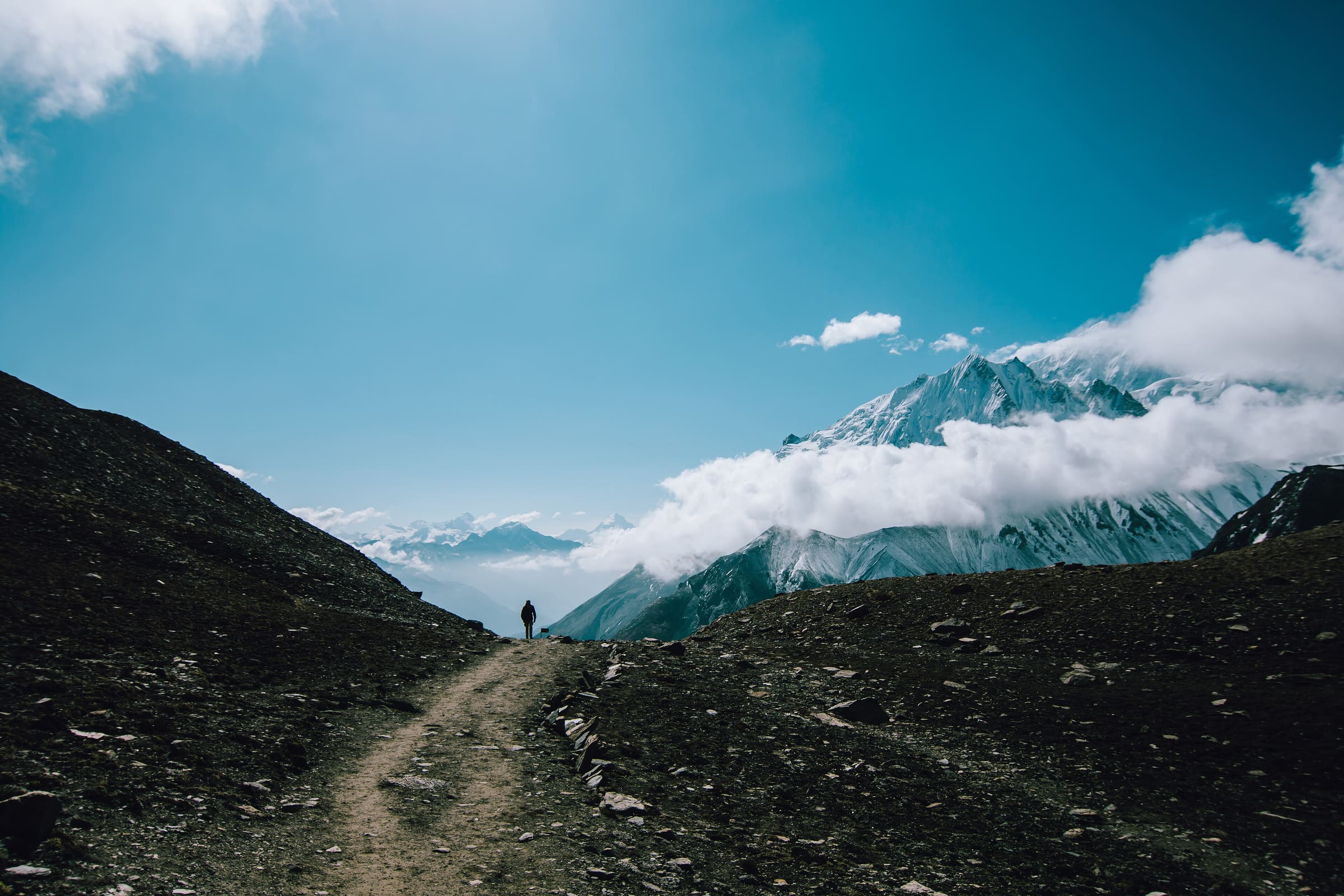
Tilicho Trek
OSM hiking route in the Annapurna region (64.5 km line). Vertical figures sampled from Copernicus GLO-30.
Distance 64.5 km Reported · High point provisional (DEM sample) · T2 · OSM route
Annapurna
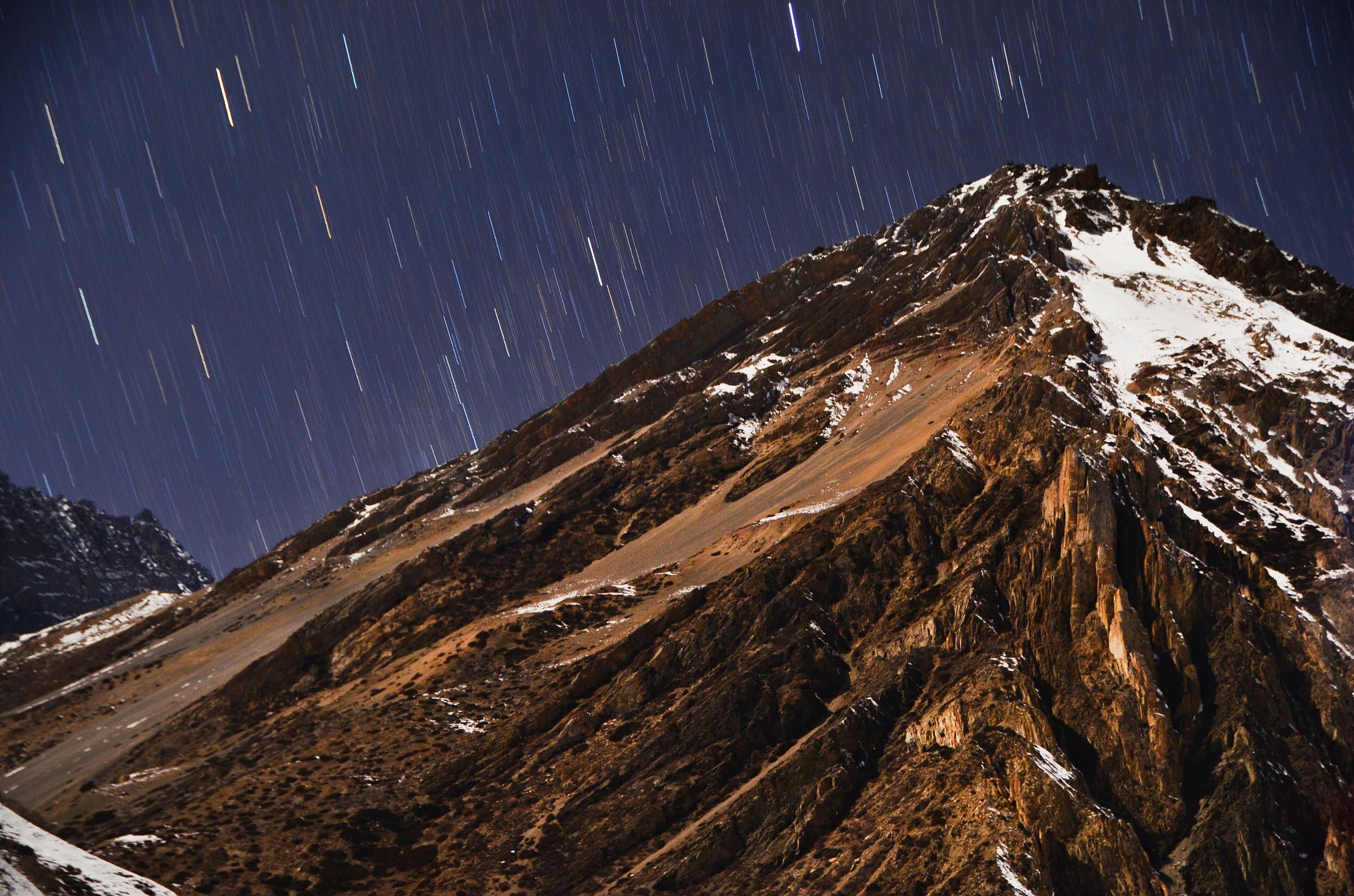
Tiuche Lake
OSM hiking route in the Annapurna region (30.6 km line). Vertical figures sampled from Copernicus GLO-30.
Distance 30.6 km Reported · High point provisional (DEM sample) · T2 · OSM route
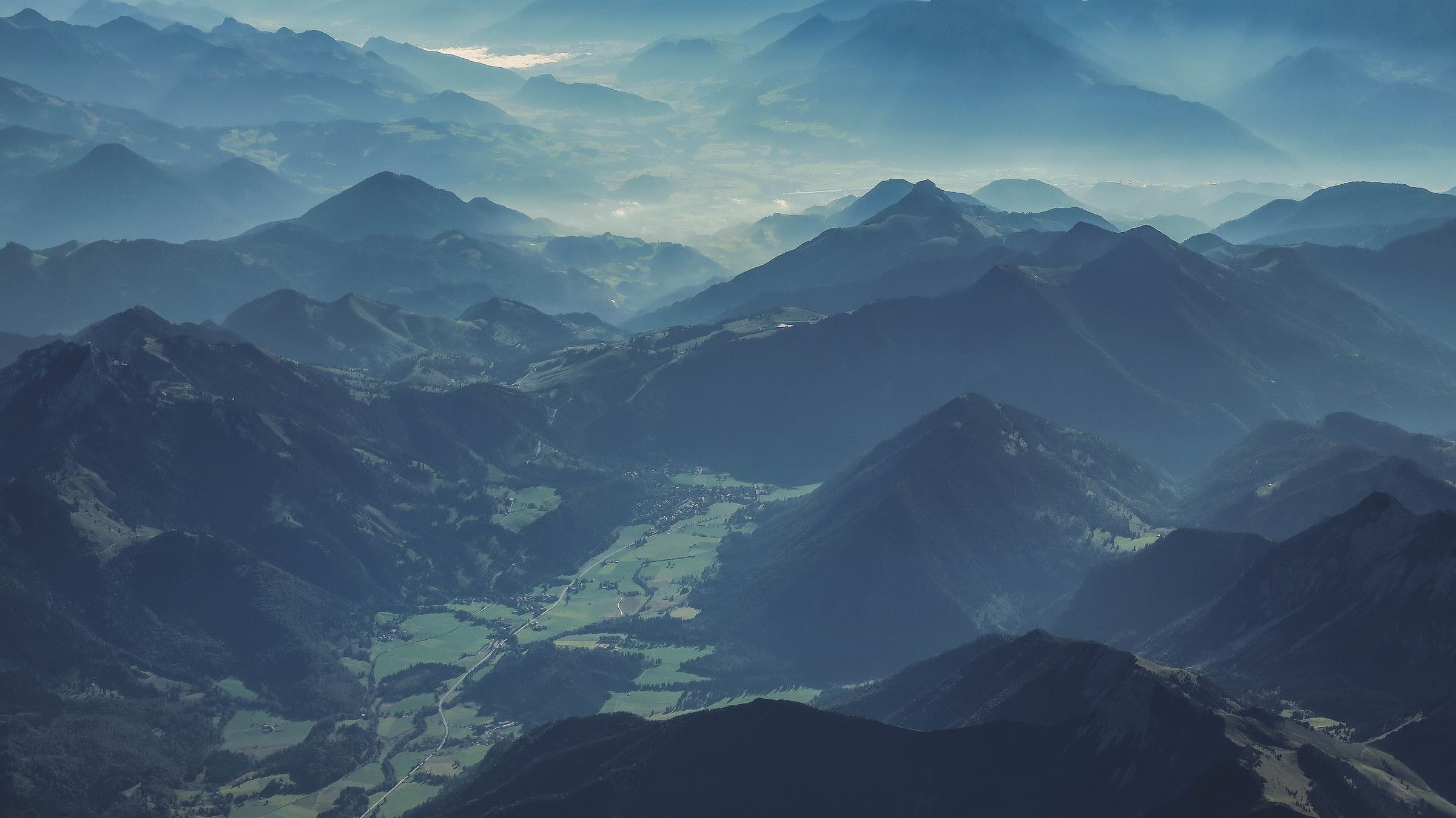
Steiermark
Styrian Iron Trail
Reported OSM relation: Styrian Iron Trail, St. Michael to Leoben, 204.3 km OSM 2-D. Vertical figures sampled from Copernicus GLO-30.
Distance 204.3 km Reported · High point provisional (DEM sample) · 10d · SAC T2
Valais
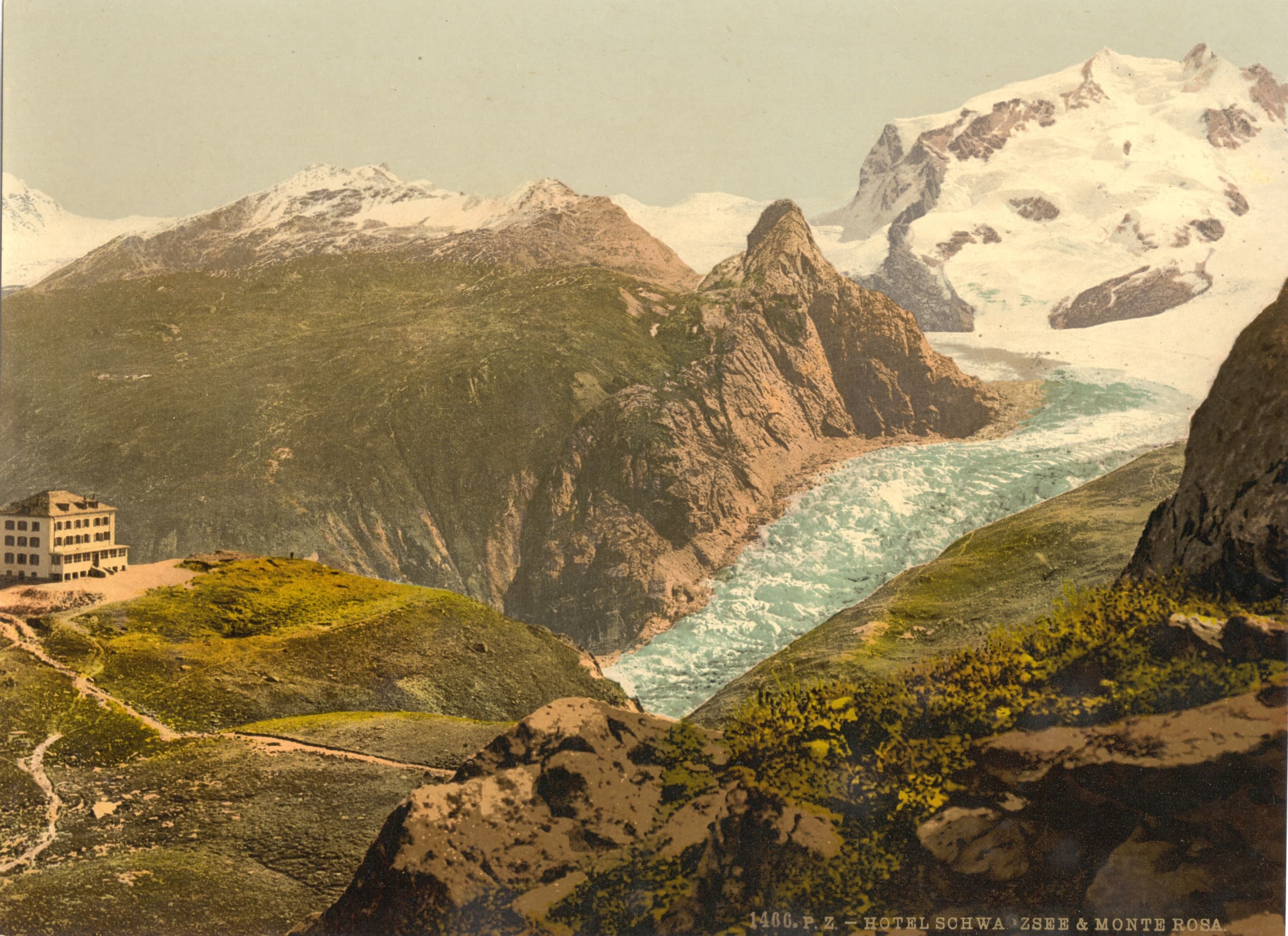
Swiss Tour Monte Rosa
Reported OSM relation: SchweizMobil regional hiking route 27, Swiss Tour Monte Rosa, Saas-Fee to Zermatt, 55.9 km OSM 2-D. Vertical figures sampled from Copernicus GLO-30.
Distance 55.9 km Reported · Ascent provisional (DEM sample) · High point provisional (DEM sample) · T2 · OSM route

Thurgau
Thurgauer Panoramaweg
Reported OSM relation: SchweizMobil regional hiking route 79, Thurgauer Panoramaweg, Amriswil to Wil, 37.5 km OSM 2-D. Vertical figures sampled from Copernicus GLO-30.
Distance 37.5 km Reported · Ascent provisional (DEM sample) · High point provisional (DEM sample) · T2 · OSM route
Thurgau
Thurweg
Reported OSM relation: SchweizMobil regional hiking route 24, Thurweg, Gamplüt to Rüdlingen, 160.8 km OSM 2-D. Vertical figures sampled from Copernicus GLO-30.
Distance 160.8 km Reported · High point provisional (DEM sample) · T2 · OSM route
St. Gallen
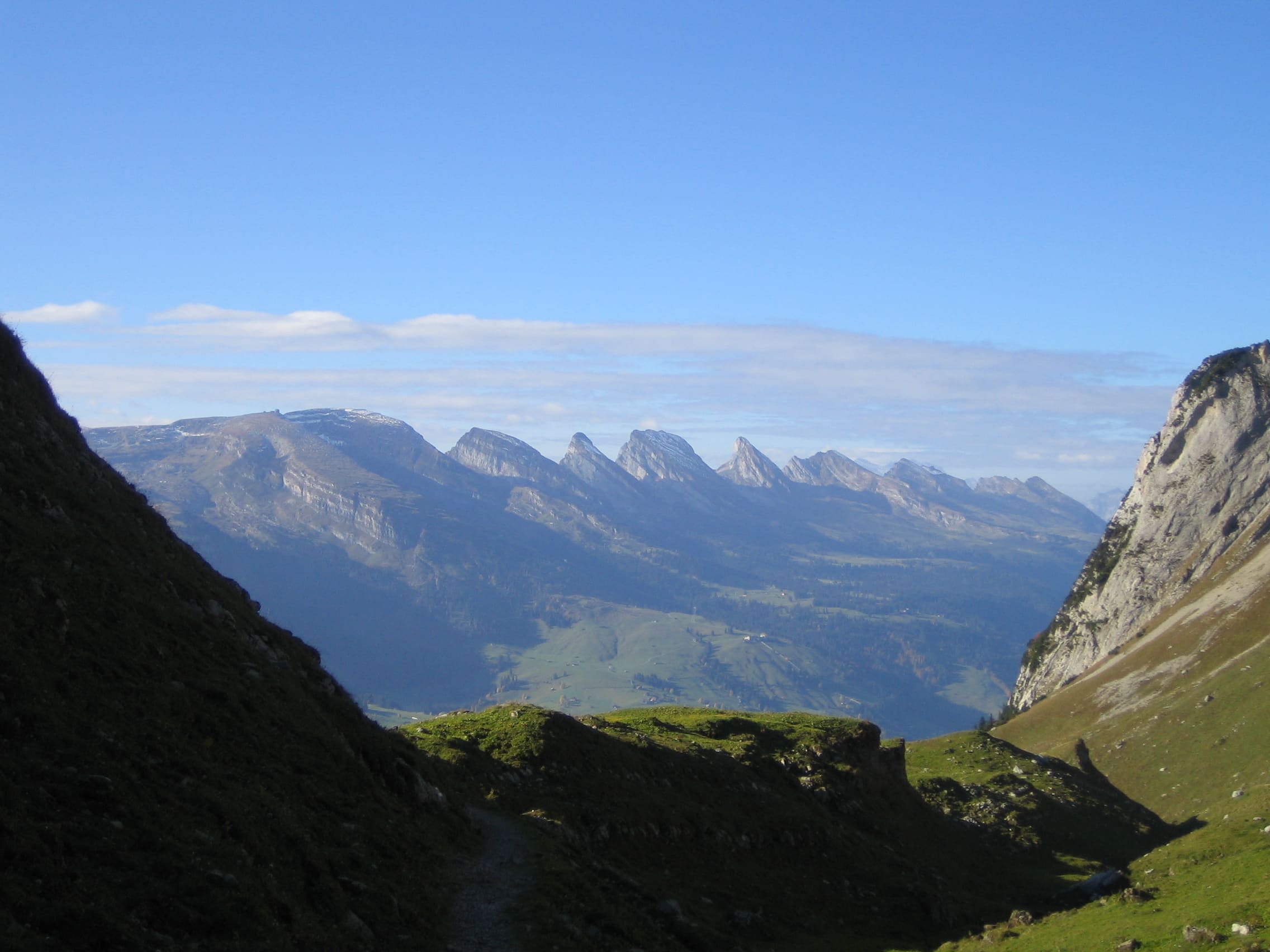
Toggenburger Höhenweg
Reported OSM relation: SchweizMobil regional hiking route 48, Toggenburger Höhenweg, Wildhaus to Wil, 87.6 km OSM 2-D. Vertical figures sampled from Copernicus GLO-30.
Distance 87.6 km Reported · High point provisional (DEM sample) · T2 · OSM route
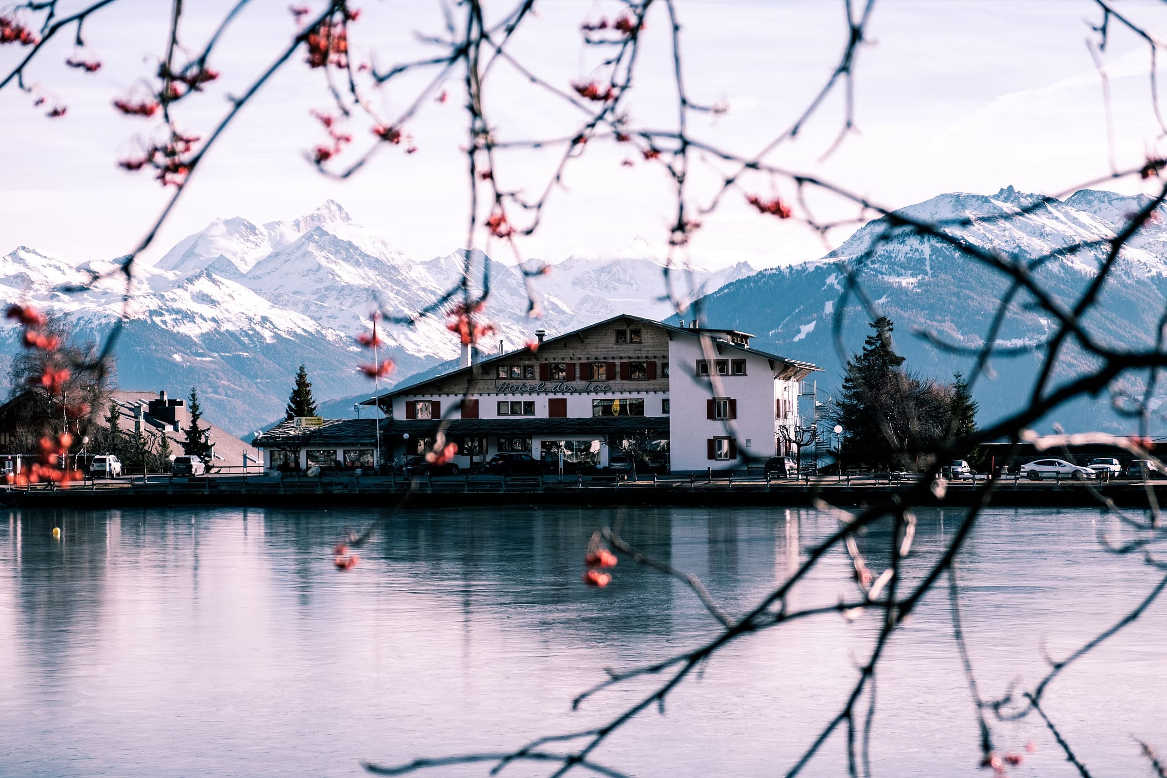
Vaud
Tour des Alpes Vaudoises
Reported OSM relation: SchweizMobil regional hiking route 46, Tour des Alpes Vaudoises, Aigle to Aigle, 131 km OSM 2-D. Vertical figures sampled from Copernicus GLO-30.
Distance 131 km Reported · High point provisional (DEM sample) · T2 · OSM route
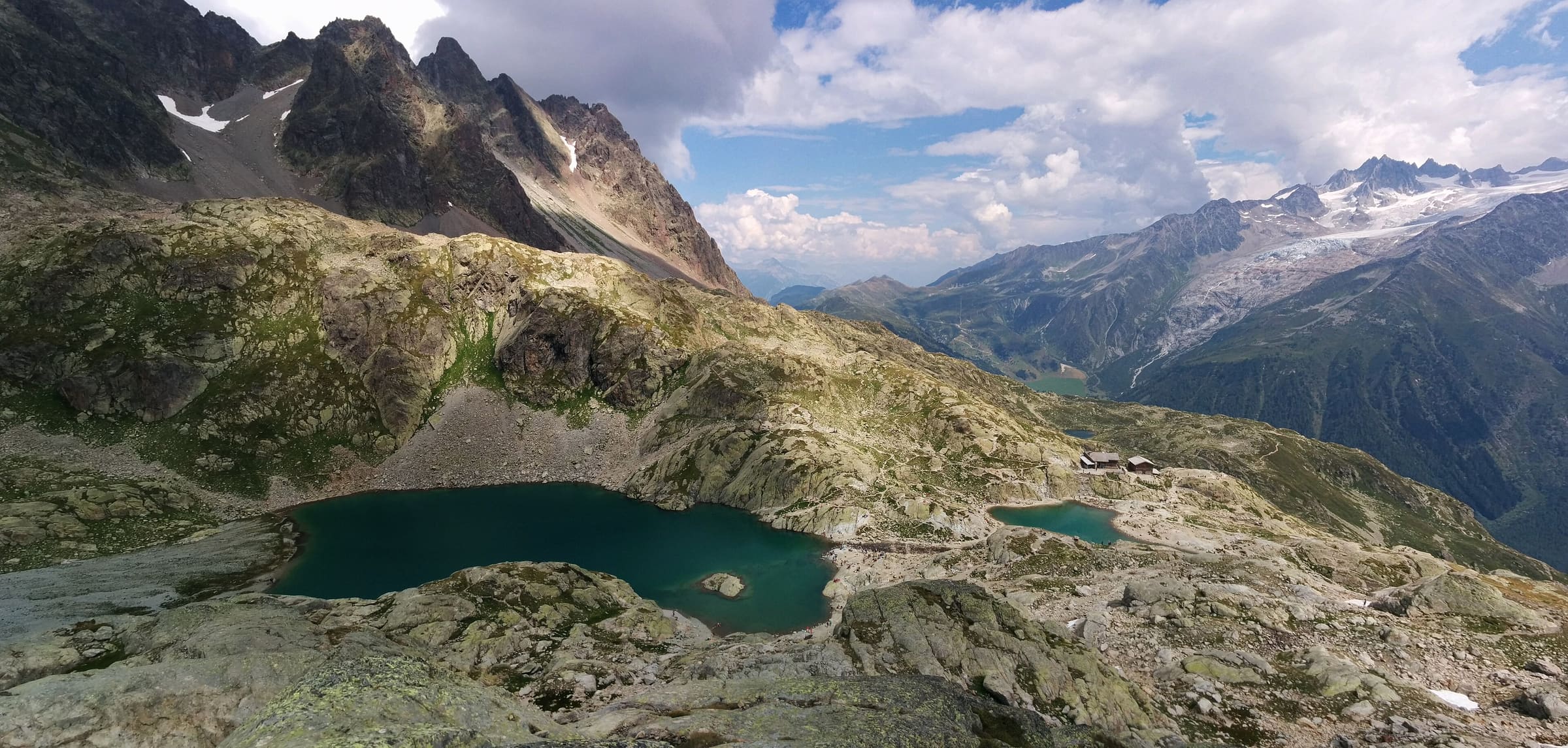
Mont Blanc
Tour du Mont Blanc
OSM hiking route circling the Mont Blanc massif across France, Italy, and Switzerland (166 km loop) from Les Houches. Vertical figures sampled from Copernicus GLO-30.
Distance 166 km Reported · High point provisional (DEM sample) · 11d · SAC T2
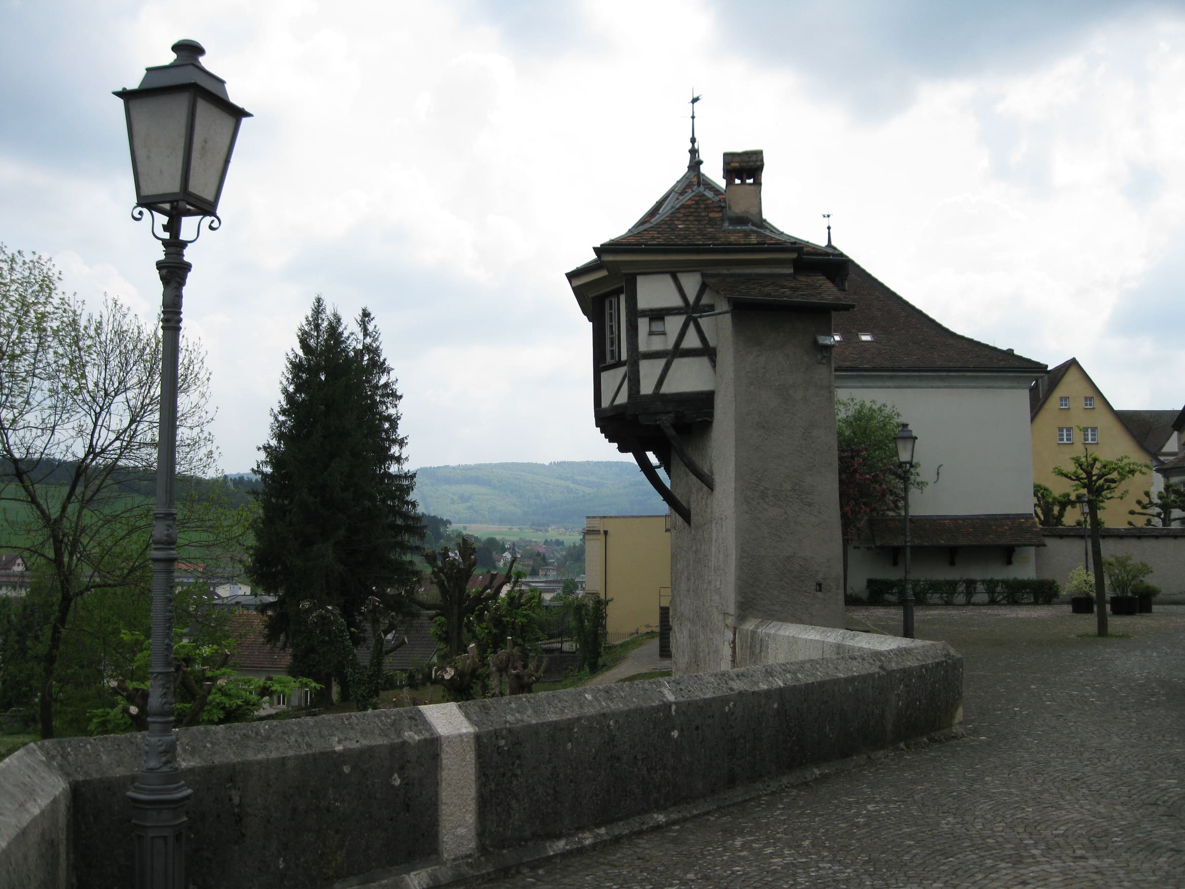
Switzerland national routes
Trans Swiss Trail
Reported OSM superroute: SchweizMobil national hiking route 2, Trans Swiss Trail, Porrentruy to Mendrisio, 510.1 km OSM walking. Official stage 7 crosses Lac de Neuchâtel by boat (not walking). Vertical figures sampled from Copernicus GLO-30.
Distance 510.1 km Reported · High point provisional (DEM sample) · T2 · OSM route
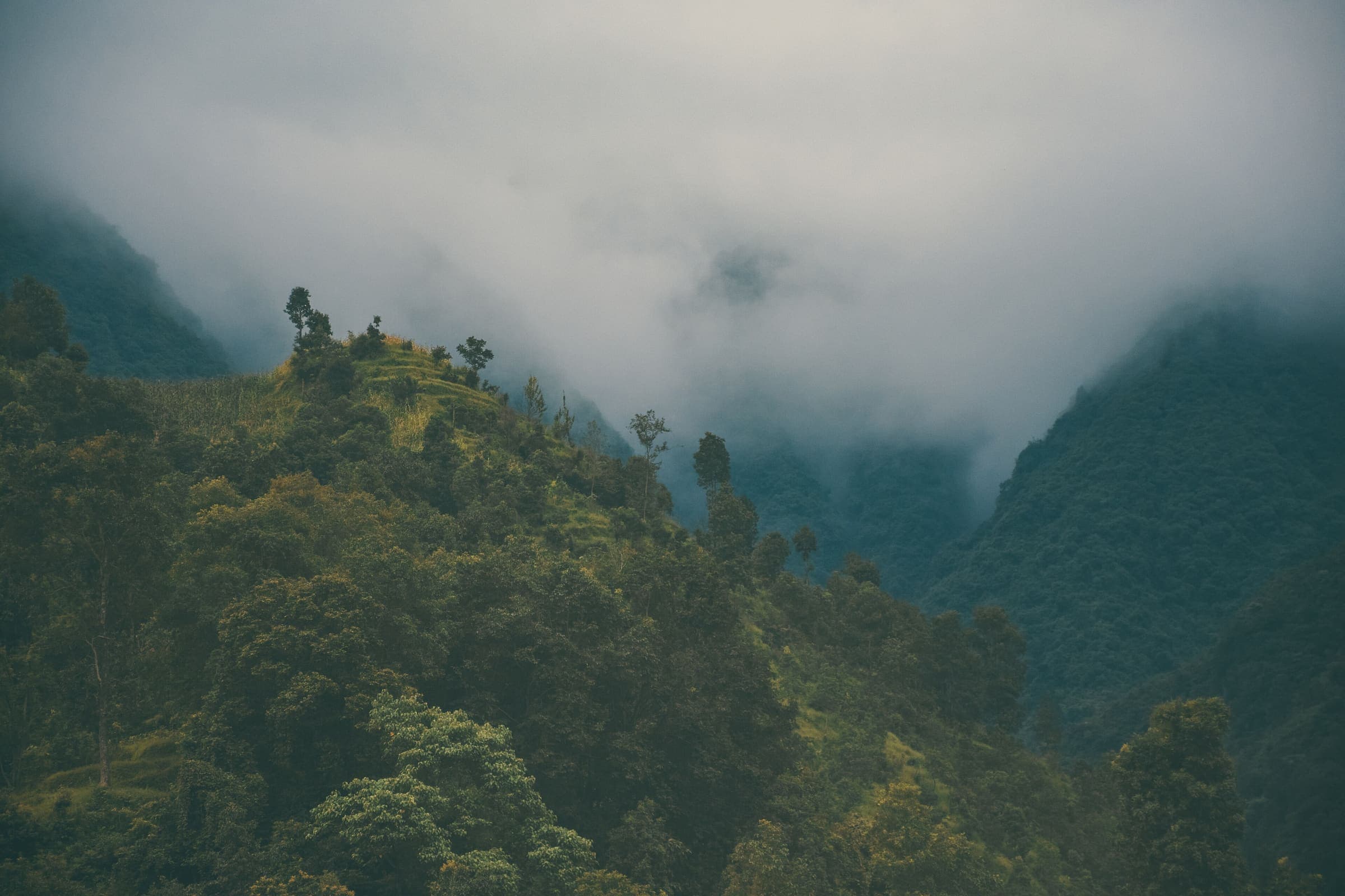
Manaslu
Tsum Valley
OSM hiking route Tsum Valley, Nepal (38.11 km line). out-and-back; one-way 38.11 km, round-trip 76.21 km in prose. Permits are the headline (official NTB/NTNC 2026-09-21). Vertical figures from the Wave N GLO-30 resample.
Distance 38.11 km Reported · Ascent provisional (DEM sample) · High point provisional (DEM sample) · 12d · SAC T3
Maharashtra
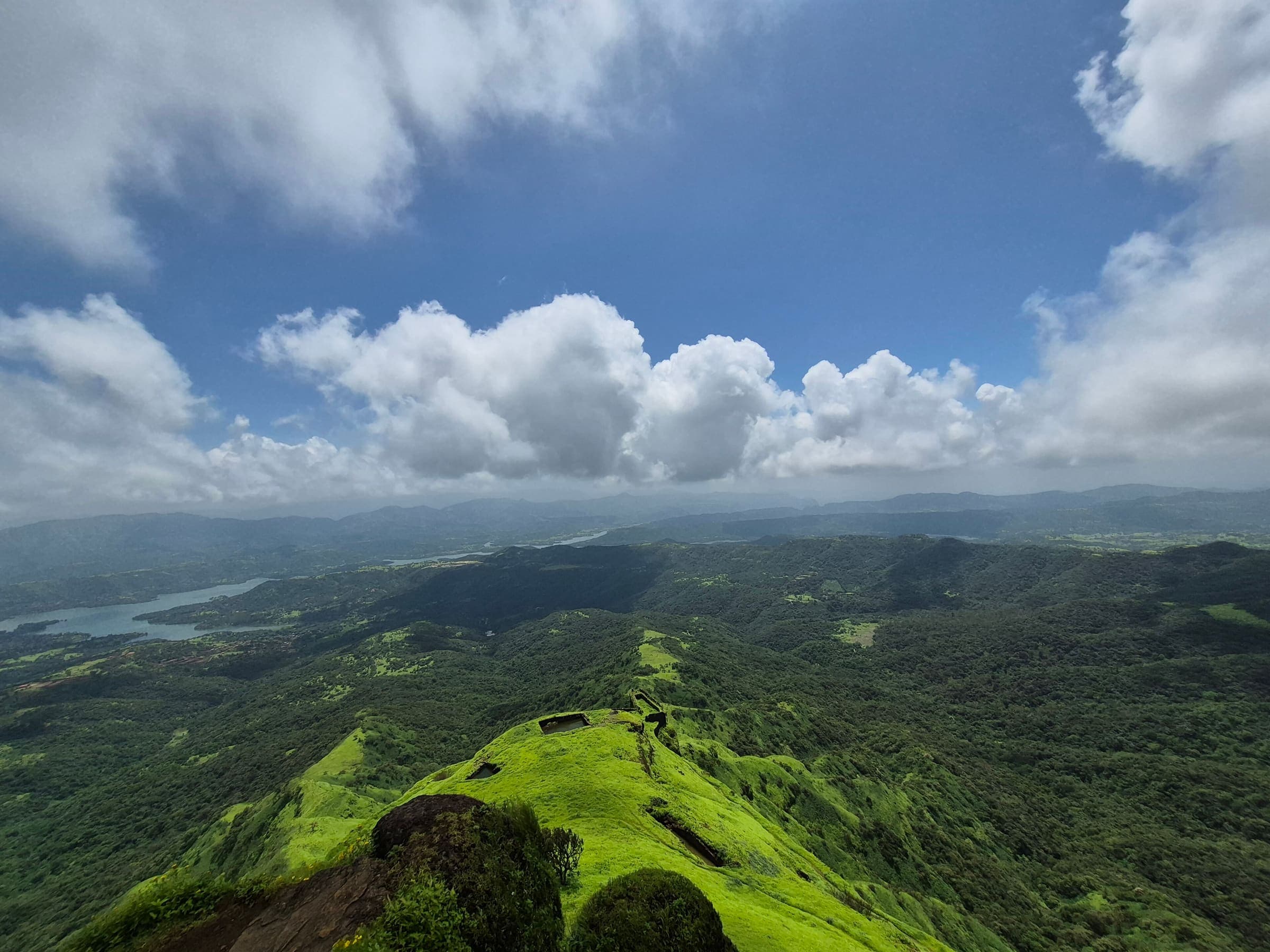
Sondai Fort
OSM hiking route Sondai Fort, Maharashtra (3.25 km line). out-and-back; one-way 3.25 km, round-trip 6.5 km in prose. Vertical figures from the GLO-30 resample. Days unknown.
Distance 3.25 km Reported · Ascent provisional (DEM sample) · High point provisional (DEM sample) · T2 · OSM route
Maharashtra
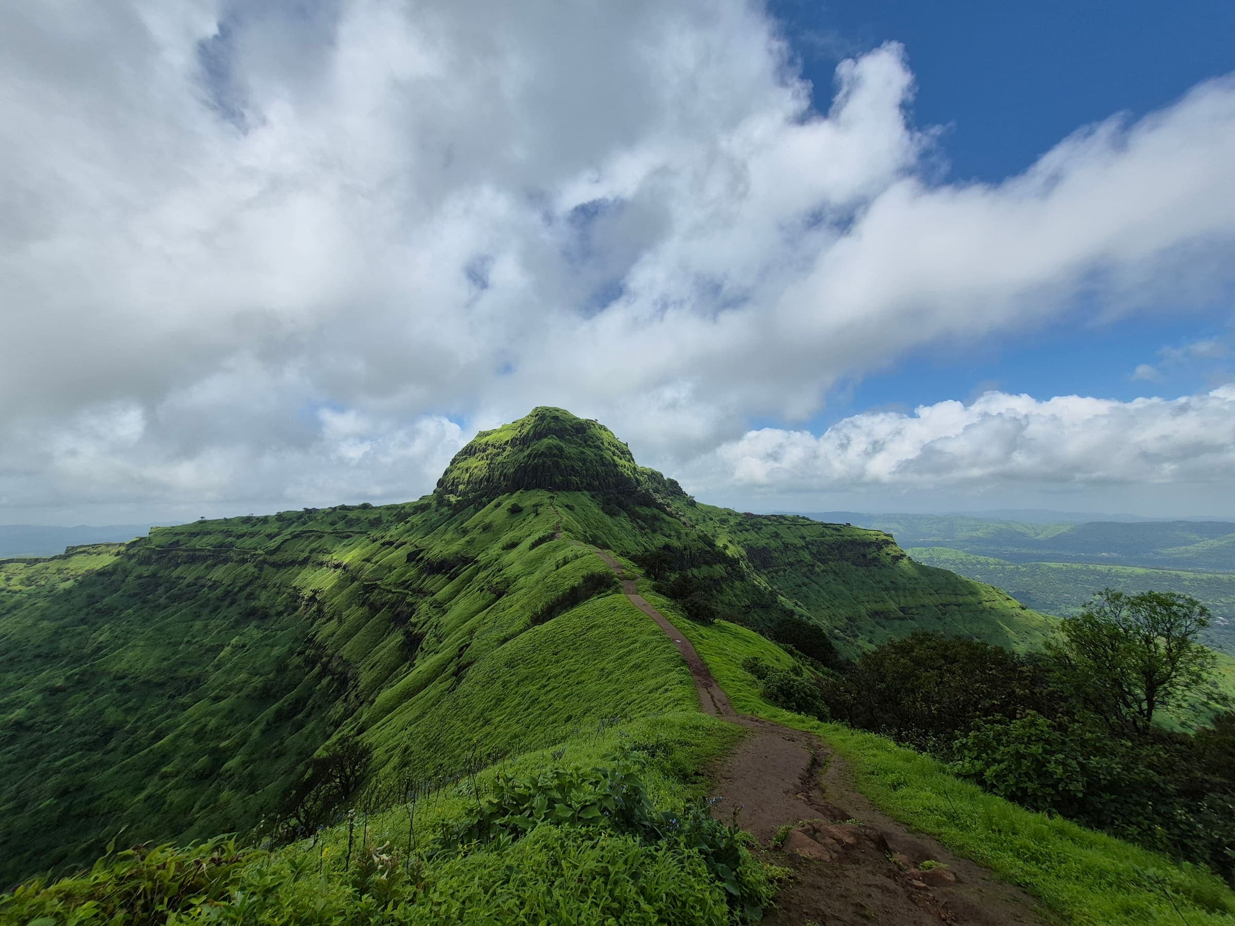
Songad Fort
OSM hiking route Songad Fort, Maharashtra (1.53 km line). out-and-back; one-way 1.53 km, round-trip 3.06 km in prose. Vertical figures from the GLO-30 resample. Days unknown.
Distance 1.53 km Reported · Ascent provisional (DEM sample) · High point provisional (DEM sample) · T2 · OSM route
Maharashtra
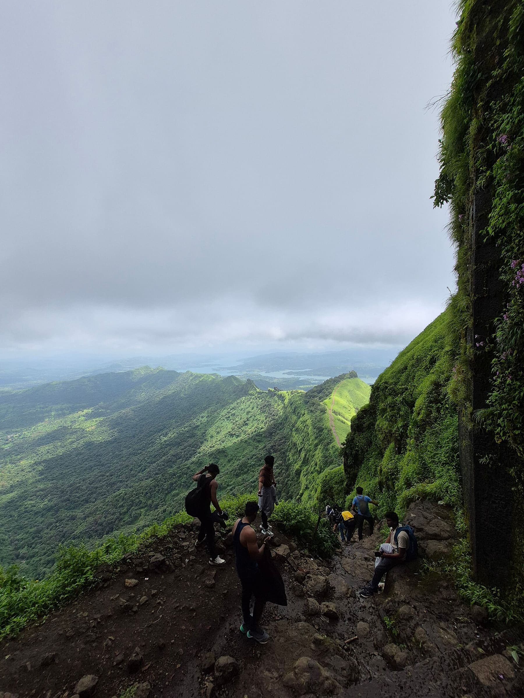
Sudhagad Fort
OSM hiking route Sudhagad Fort, Maharashtra (6.69 km line). Vertical figures from the GLO-30 resample. Days unknown.
Distance 6.69 km Reported · Ascent provisional (DEM sample) · High point provisional (DEM sample) · T2 · OSM route
Maharashtra
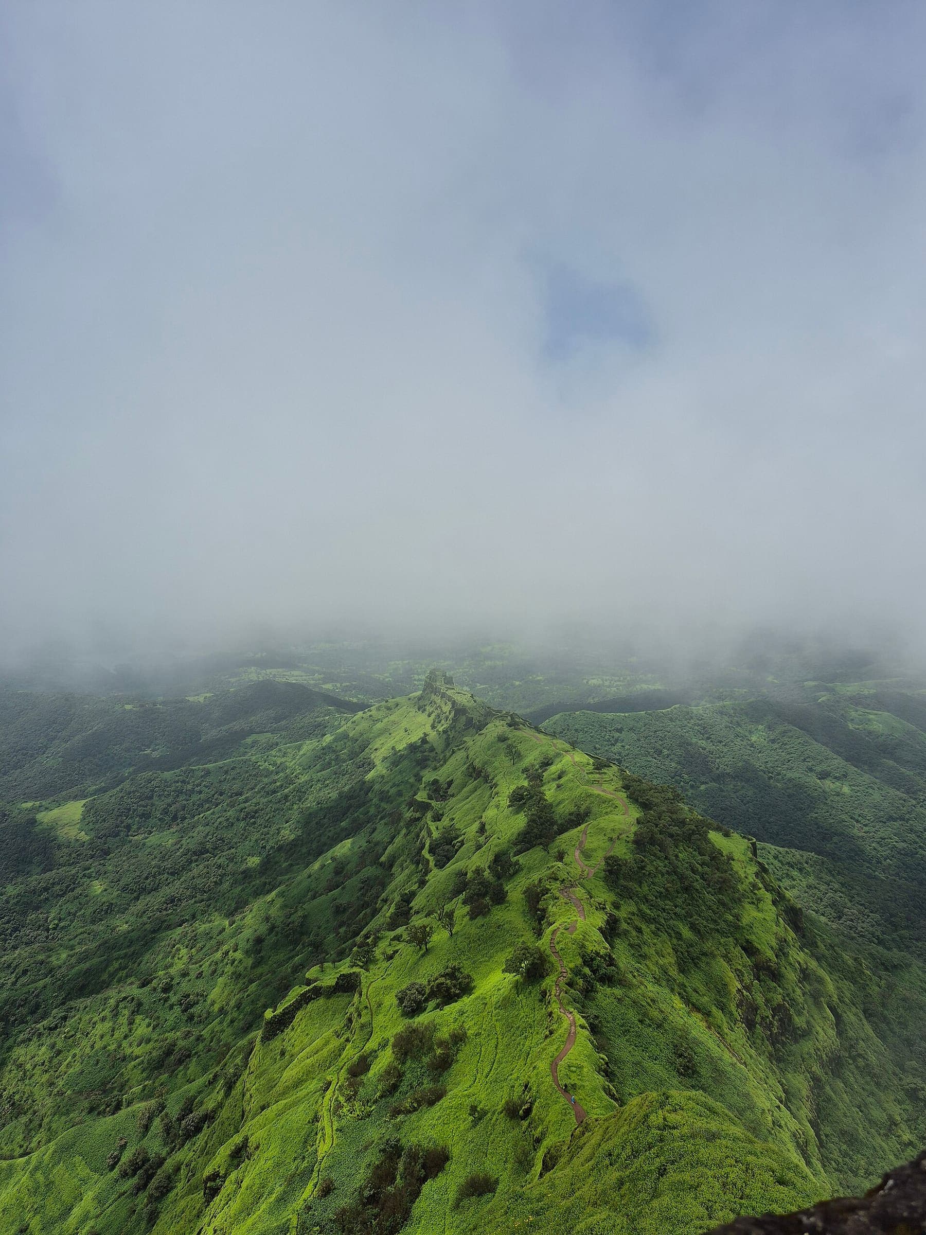
Sutonda Fort
OSM hiking route Sutonda Fort, Maharashtra (1.33 km line). out-and-back; one-way 1.33 km, round-trip 2.66 km in prose. Vertical figures from the GLO-30 resample. Days unknown.
Distance 1.33 km Reported · Ascent provisional (DEM sample) · High point provisional (DEM sample) · T2 · OSM route
Maharashtra
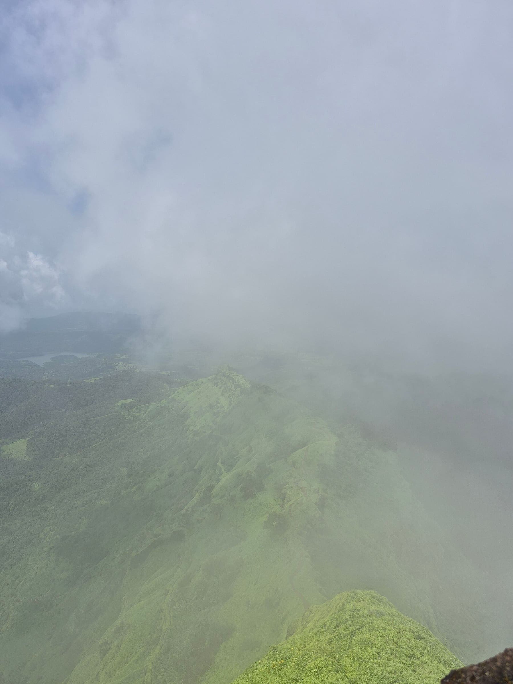
Takmak Fort
OSM hiking route Takmak Fort, Maharashtra (4.28 km line). out-and-back; one-way 4.28 km, round-trip 8.56 km in prose. Vertical figures from the GLO-30 resample. Days unknown.
Distance 4.28 km Reported · Ascent provisional (DEM sample) · High point provisional (DEM sample) · T2 · OSM route
Maharashtra
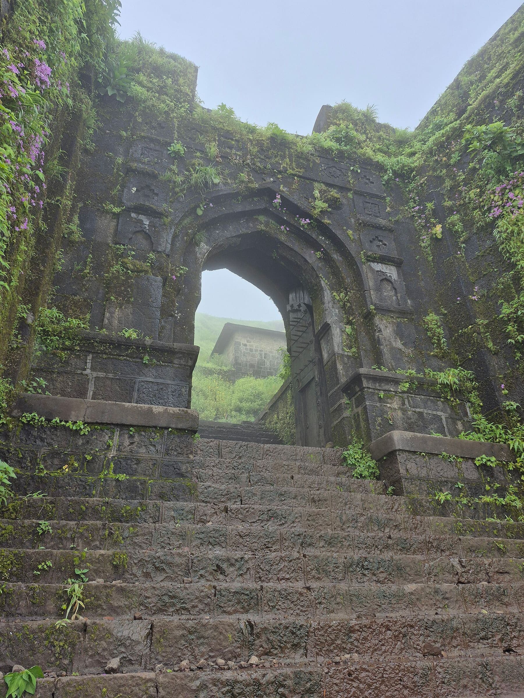
Tandulwadi Fort
OSM hiking route Tandulwadi Fort, Maharashtra (4.8 km line). Vertical figures from the GLO-30 resample. Days unknown.
Distance 4.8 km Reported · Ascent provisional (DEM sample) · High point provisional (DEM sample) · T2 · OSM route
Maharashtra
Tikona Fort
OSM hiking route Tikona Fort, Maharashtra (0.98 km line). partial — summit paths only. Vertical figures from the GLO-30 resample. Days unknown.
Distance 0.98 km Reported · Ascent provisional (DEM sample) · High point provisional (DEM sample) · T2 · OSM route
Tongariro
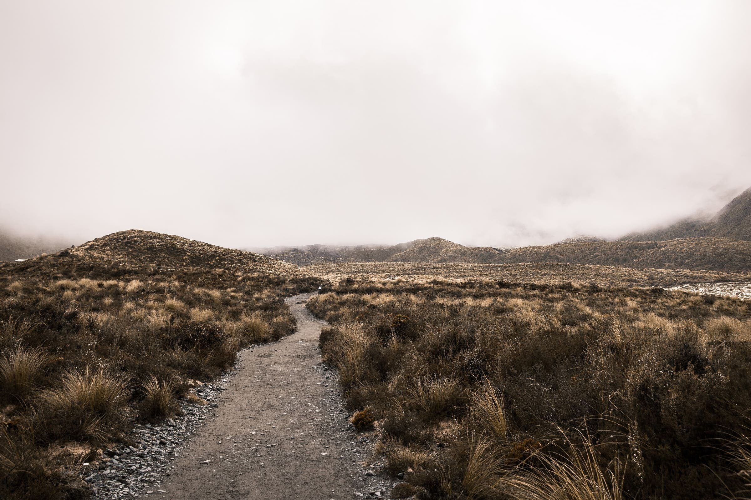
Tongariro Alpine Crossing
OSM hiking route in Tongariro National Park, New Zealand (19.7 km line), Mangatepopo to Ketetahi. Not the Northern Circuit loop. Vertical figures sampled from Copernicus GLO-30.
Distance 19.7 km Reported · Ascent provisional (DEM sample) · High point provisional (DEM sample) · 1d · SAC T3
Maharashtra
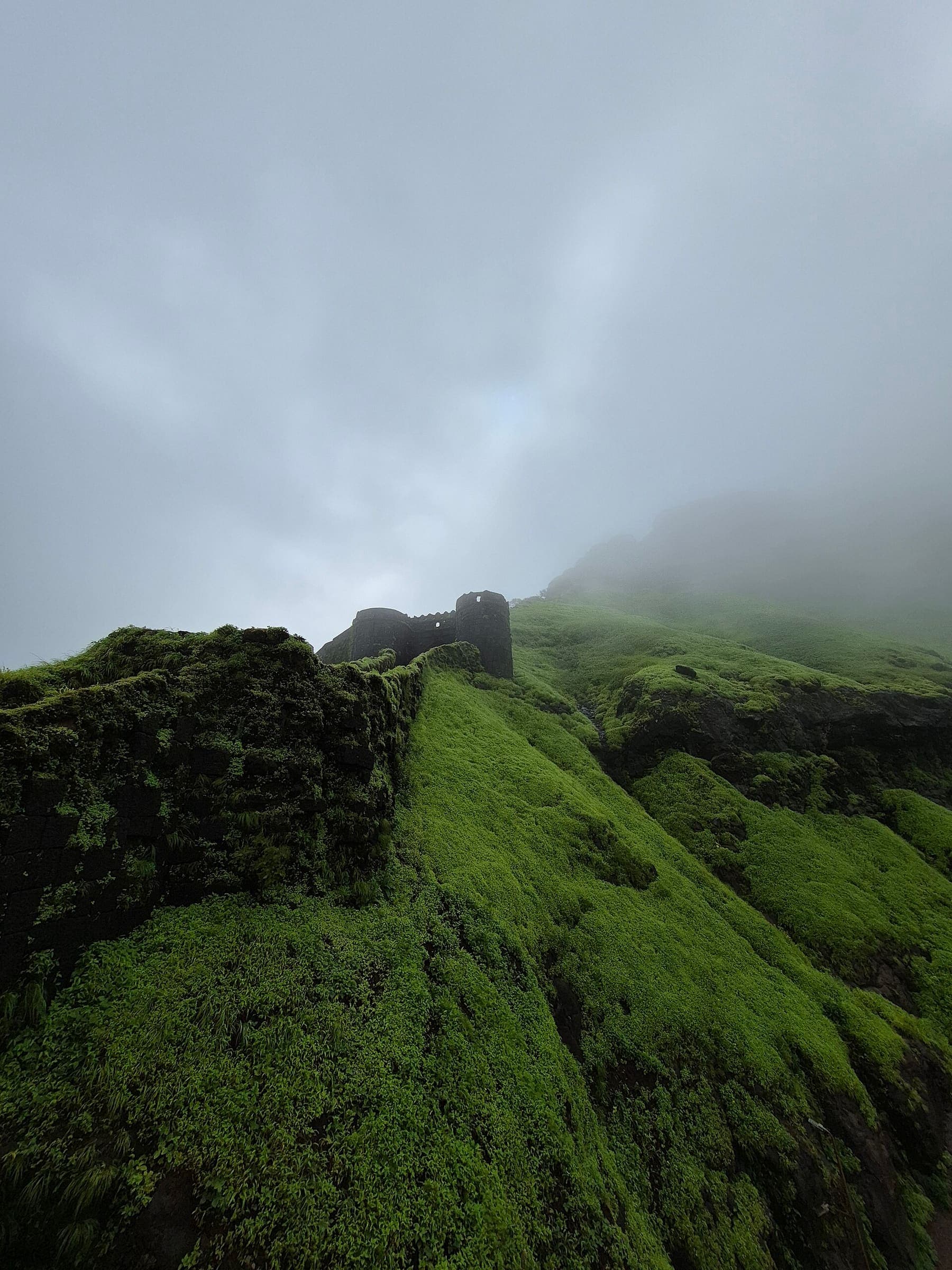
Torna Fort
OSM hiking route Torna Fort, Maharashtra (6.06 km line). out-and-back; one-way 6.06 km, round-trip 12.12 km in prose. Vertical figures from the GLO-30 resample. Days unknown.
Distance 6.06 km Reported · Ascent provisional (DEM sample) · High point provisional (DEM sample) · T3 · OSM route
Maharashtra
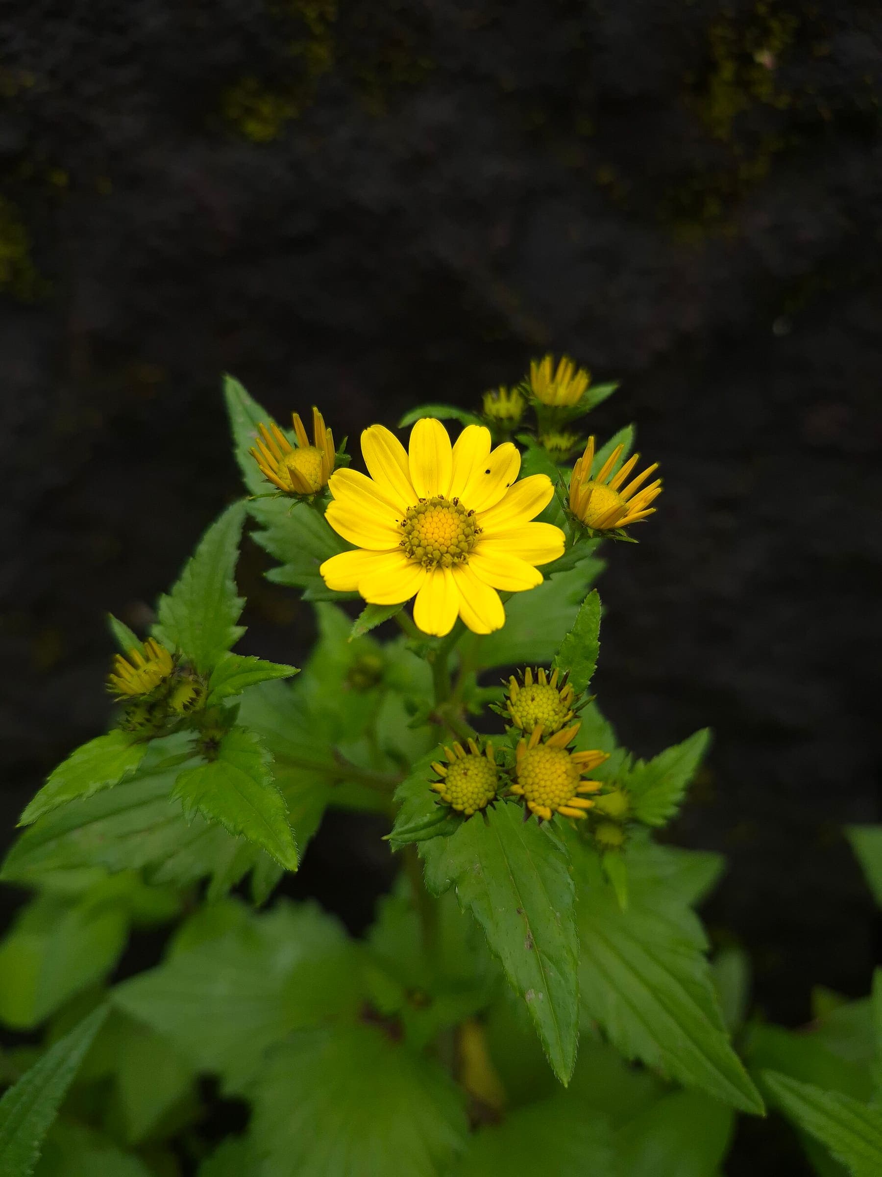
Tringalwadi Fort
OSM hiking route Tringalwadi Fort, Maharashtra (4.82 km line). Vertical figures from the GLO-30 resample. Days unknown.
Distance 4.82 km Reported · Ascent provisional (DEM sample) · High point provisional (DEM sample) · T2 · OSM route
Ladakh
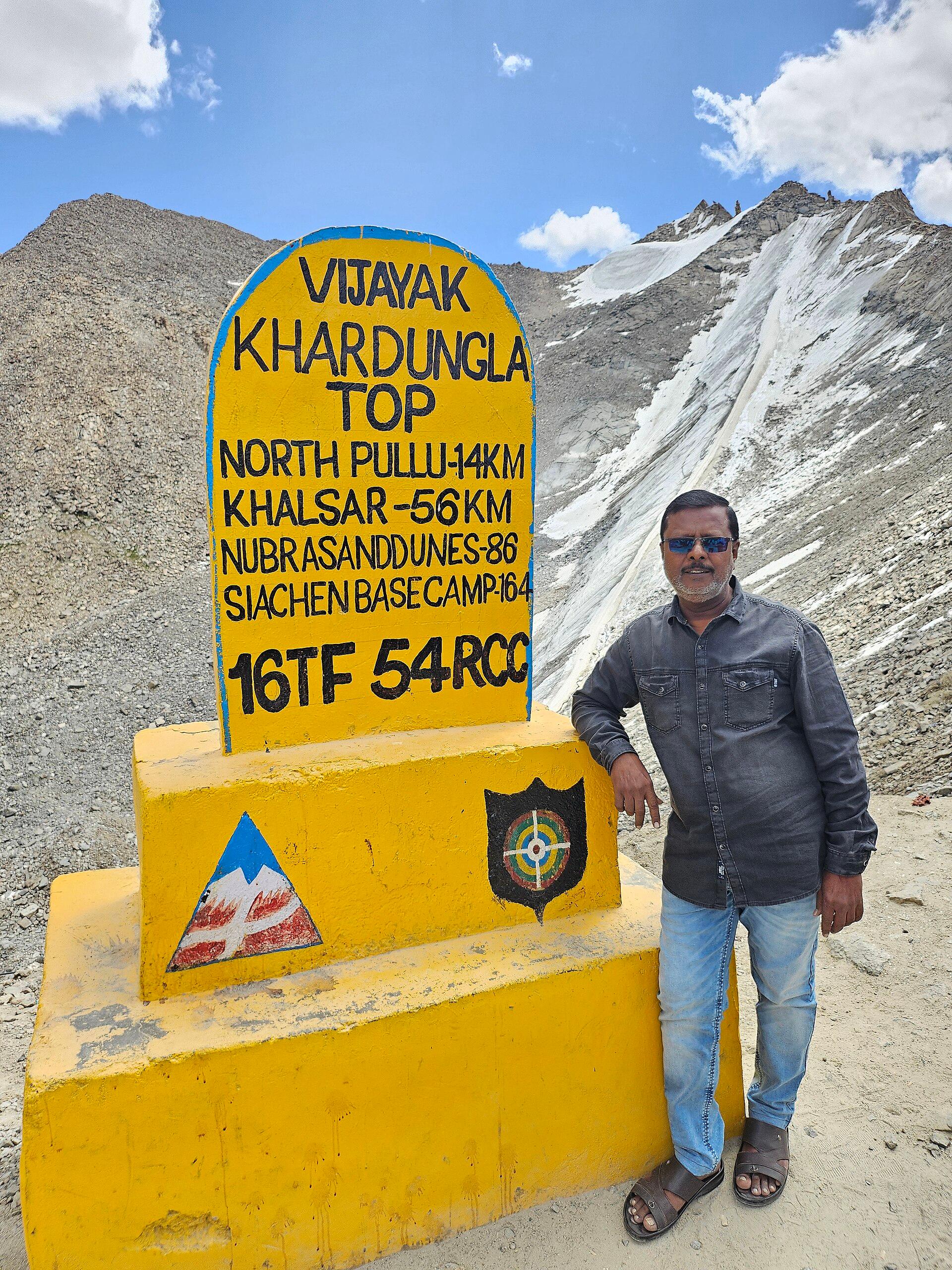
Stok La
OSM hiking route Stok La, Ladakh (14.47 km Stok→Rumbak line). Not the closed Stok Kangri approach. Vertical figures from the GLO-30 resample. Days unknown.
Distance 14.47 km Reported · Ascent provisional (DEM sample) · High point provisional (DEM sample) · T2 · OSM route
Ladakh
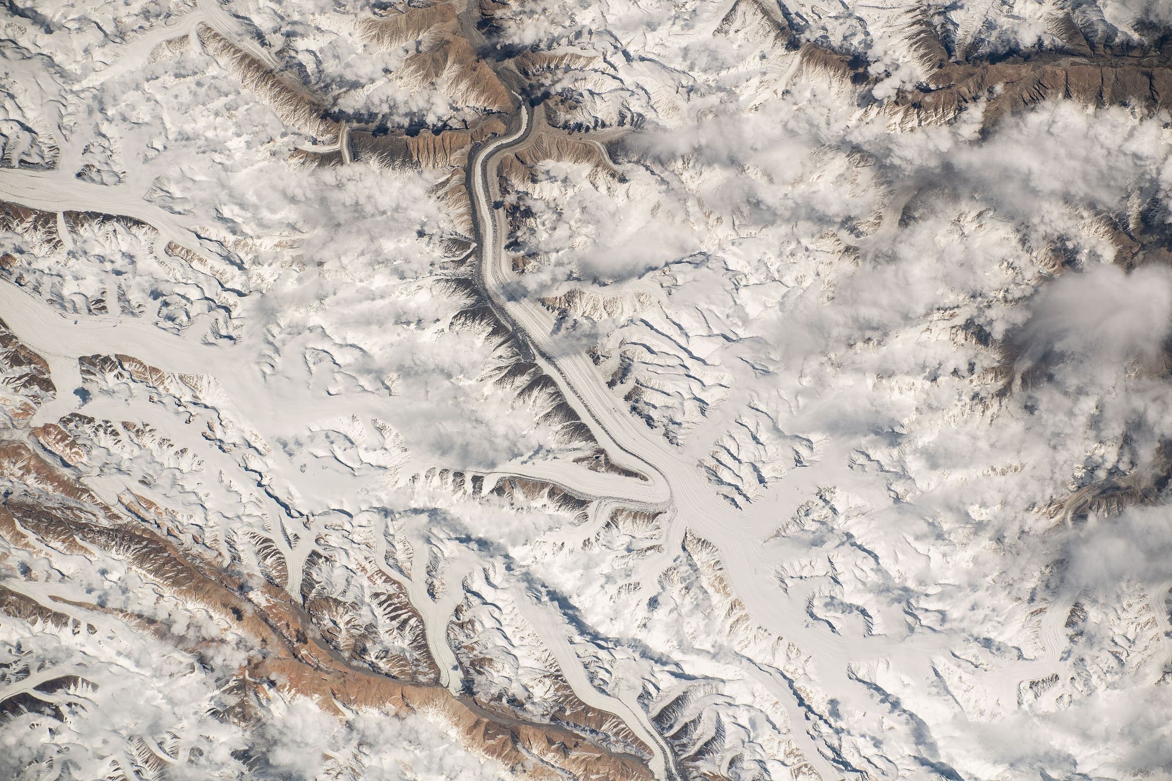
Stok to Tsomoriri
OSM hiking traverse Stok to Tsomoriri, Ladakh (172.35 km nwn line over a dozen passes). Not Stok La. Vertical figures from the GLO-30 resample. Days unknown. additional.
Distance 172.35 km Reported · High point provisional (DEM sample) · T3 · OSM route
Uttarakhand
Taluka to Hanuman Chatti
OSM hiking segment Taluka to Hanuman Chatti, Uttarakhand (32.96 km line). Village-to-village path; no cited itinerary. Vertical figures from the GLO-30 resample. Days unknown.
Distance 32.96 km Reported · Ascent provisional (DEM sample) · High point provisional (DEM sample) · T2 · OSM route
Uttarakhand
Thalisain to Gairsain
OSM hiking segment Thalisain to Gairsain, Uttarakhand (32.91 km line). Village-to-village path; no cited itinerary. Vertical figures from the GLO-30 resample. Days unknown.
Distance 32.91 km Reported · Ascent provisional (DEM sample) · High point provisional (DEM sample) · T2 · OSM route
Jammu and Kashmir
Trans-Jammu Traverse
OSM hiking traverse, one intended nwn Chamba→Jammu corridor (275.84 km). Cross-state: ~120 km Himachal (Chamba: Chamera→Kadwah) and ~156 km J&K (Udhampur/Jammu: Kaluni Gala→Panjar). DEM high 2,776 m (mid-hill rollers, not alpine). Provisional for a ~2 km Ramnagar–Resian mapping gap.
Distance 275.84 km Reported · High point provisional (DEM sample) · T2 · OSM route
Himachal Pradesh
Triund
OSM hiking route Triund, Himachal Pradesh (10.08 km line), canonical Kandi relation. Galu Devi approach absorbed. Line extends above the meadow. Vertical figures from the GLO-30 resample. Days unknown.
Distance 10.08 km Reported · Ascent provisional (DEM sample) · High point provisional (DEM sample) · T2 · OSM route
Uttarakhand
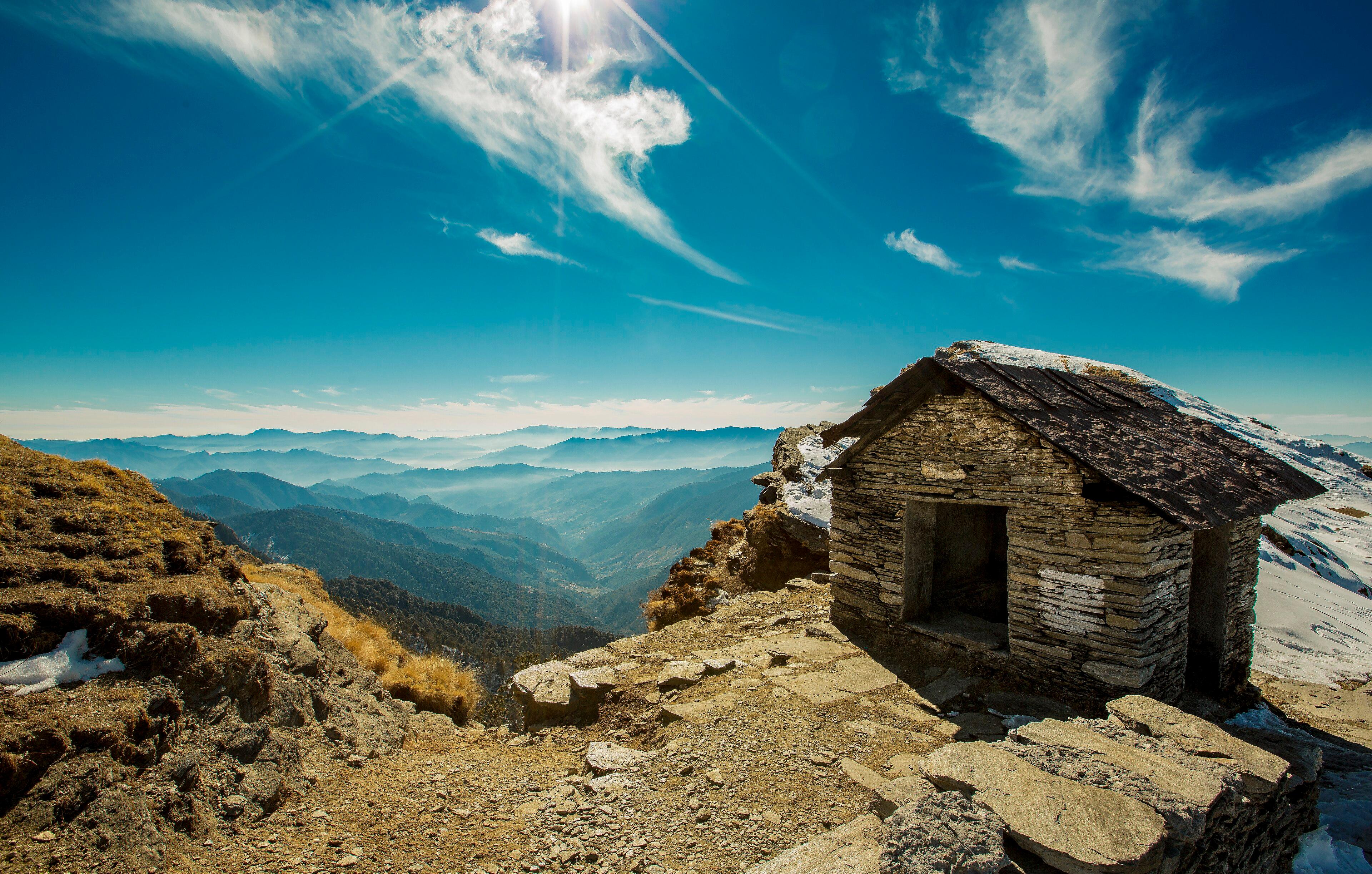
Tungnath–Chandrashila
OSM hiking route Chopta–Tungnath–Chandrashila, Uttarakhand (4.08 km line). Not Chopta–Pokhri 12082788. Geometry may end at Tungnath. Vertical figures from the GLO-30 resample. Days unknown.
Distance 4.08 km Reported · Ascent provisional (DEM sample) · High point provisional (DEM sample) · T1 · OSM route
Gilgit-Baltistan
Snow Lake (Hispar–Biafo)
Schematic Askole → Hispar La → Hispar. Not a GPS track. About 120 km is the editorial headline, not the pin spacing. DEM high 5,133 m is Hispar La. CKNP Core Zone park fee.
Distance 120 km provisional (round figure) · High point provisional (DEM sample) · T3 · schematic

Cascades
The Enchantments
Schematic Stuart Lake trailhead to Snow Lakes trailhead. Not a GPS track. Aasgard Pass was not resolved, so the alpine high is unknown. Trailhead DEM 1,044 m is not this trail's high. Wikidata Q10315840.
Distance 29 km Reported · High point provisional (DEM sample) · 1d · SAC T4

Vermilion Cliffs
The Wave (Coyote Buttes North)
Schematic Wire Pass trailhead to The Wave. Not a GPS track and not walking distance. Cited round trip about 10 km is editorial. The Wave is in Arizona; Wire Pass is in Utah.
Distance 10 km provisional (round figure) · High point provisional (DEM sample) · T2 · schematic

Peaks of the Balkans
Theth to Valbona Pass
Schematic Theth, Valbona Pass, Valbonë. Not a GPS track. Cited one-way about 18 km. DEM high 1,797 m is the pass. Cited 1,815 m and OSM 1,795 m are landmarks. Return is not doubled.
Distance 18 km provisional (round figure) · High point provisional (DEM sample) · 1d · SAC T3
Torres del Paine
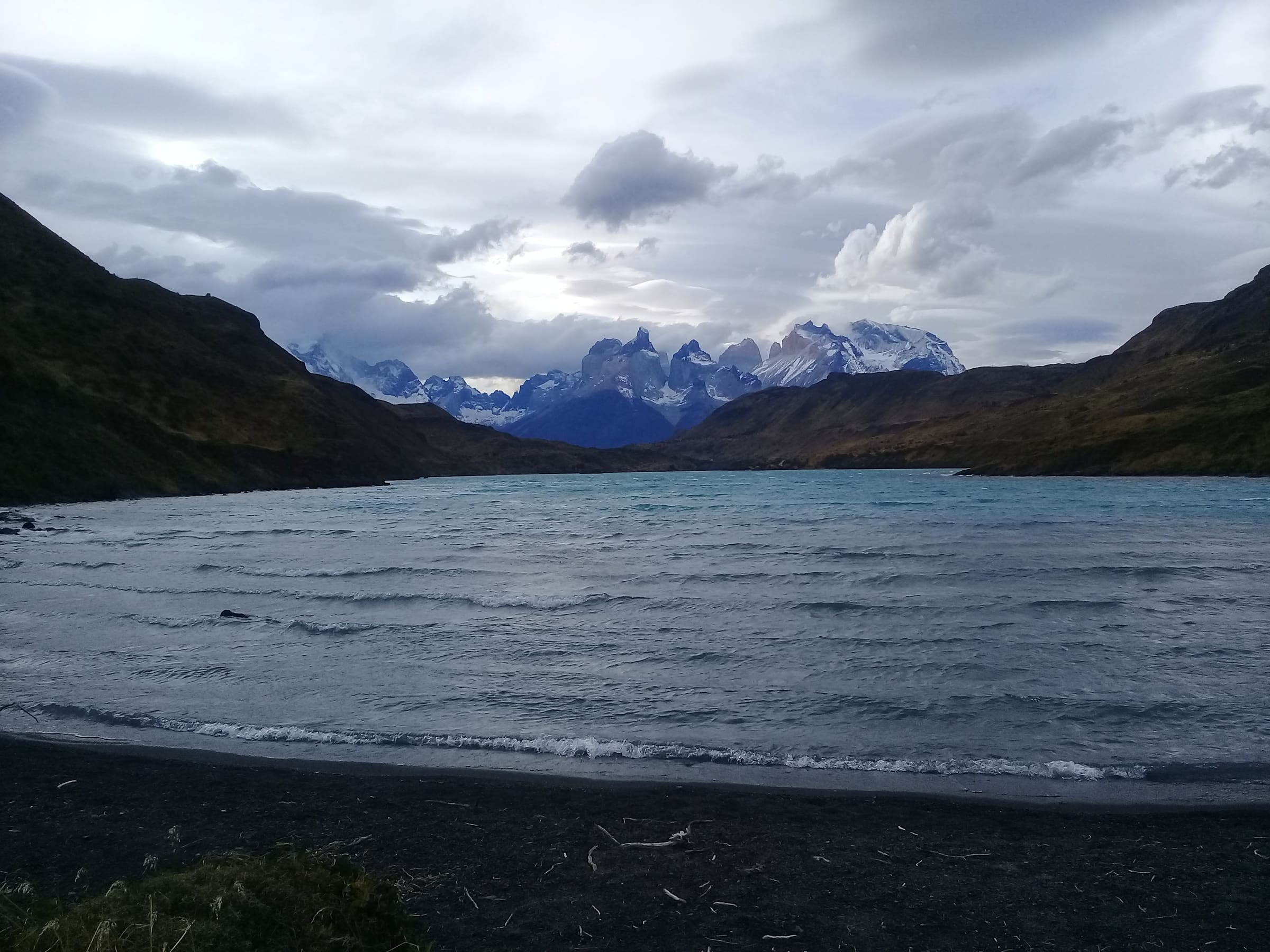
Torres del Paine W Trek
Four-to-five day traverse of the Paine massif, linking the Torres viewpoint, the French Valley, and Grey Glacier.
Distance 80 km provisional (round figure) · High point provisional (DEM sample) · 5d · SAC T2
Northern Territory
Uluru Base Walk
OSM relation 13434620, Uluru Base Walk, left open (a short join was not force-closed). Cited about 10 km. Climbing permanently closed (2019). Parks Australia park entry.
Distance 10 km provisional (round figure) · Ascent provisional (DEM sample) · High point provisional (DEM sample) · T1 · schematic

Peaks of the Balkans
Theth Blue Eye (Syri i Kaltër)
Schematic Theth to Syri i Kaltër. Not a GPS track. DEM high 741 m is Theth; the pool is 610 m. A local fee is possible and unconfirmed, so no amount is stored.
Distance 4.12 km provisional (pin-to-pin derivation) · High point provisional (DEM sample) · 1d · SAC T2