
Trail records
Filter by country, access, region, distance, days, and SAC. Every card is a sourced record, not a crowd-drawn track dump. A–Z directory
Filters
34 of 34 · 34 edited records shown
Graubünden
Via Albula/Bernina
Reported OSM relation clipped to the Swiss national boundary: SchweizMobil regional hiking route 33, Via Albula/Bernina, Thusis toward the Italian border (128.5 km OSM 2-D Swiss span). Official route continues into Italy; only the Swiss section is shown. Vertical figures sampled from Copernicus GLO-30.
Distance 128.5 km Reported · High point provisional (DEM sample) · T2 · OSM route
Switzerland national routes
Via Alpina
Reported OSM superroute: SchweizMobil national hiking route 1, Via Alpina, Vaduz (FL) to Montreux, 379.5 km OSM 2-D. Vertical figures sampled from Copernicus GLO-30.
Distance 379.5 km Reported · High point provisional (DEM sample) · T3 · OSM route
Bern
ViaBerna
Reported OSM relation: SchweizMobil regional hiking route 38, ViaBerna, Bellelay to Sustenpass, 302 km OSM 2-D. Vertical figures sampled from Copernicus GLO-30.
Distance 302 km Reported · High point provisional (DEM sample) · T2 · OSM route
Switzerland national routes
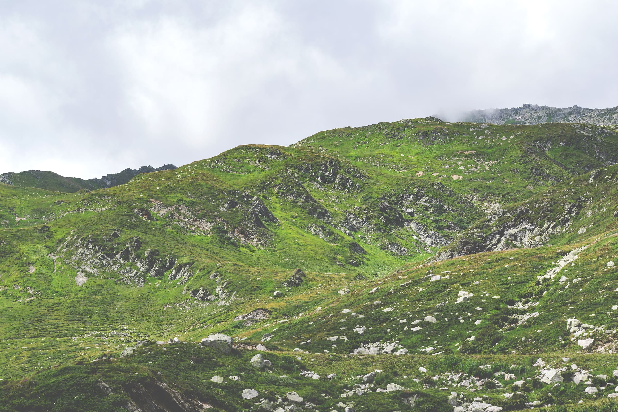
ViaGottardo
Reported OSM superroute: SchweizMobil national hiking route 7, ViaGottardo, Basel to Chiasso, 322.1 km OSM walking. Official stage 7 crosses Lake Lucerne by boat (not walking). Vertical figures sampled from Copernicus GLO-30.
Distance 322.1 km Reported · High point provisional (DEM sample) · T2 · OSM route
Basel
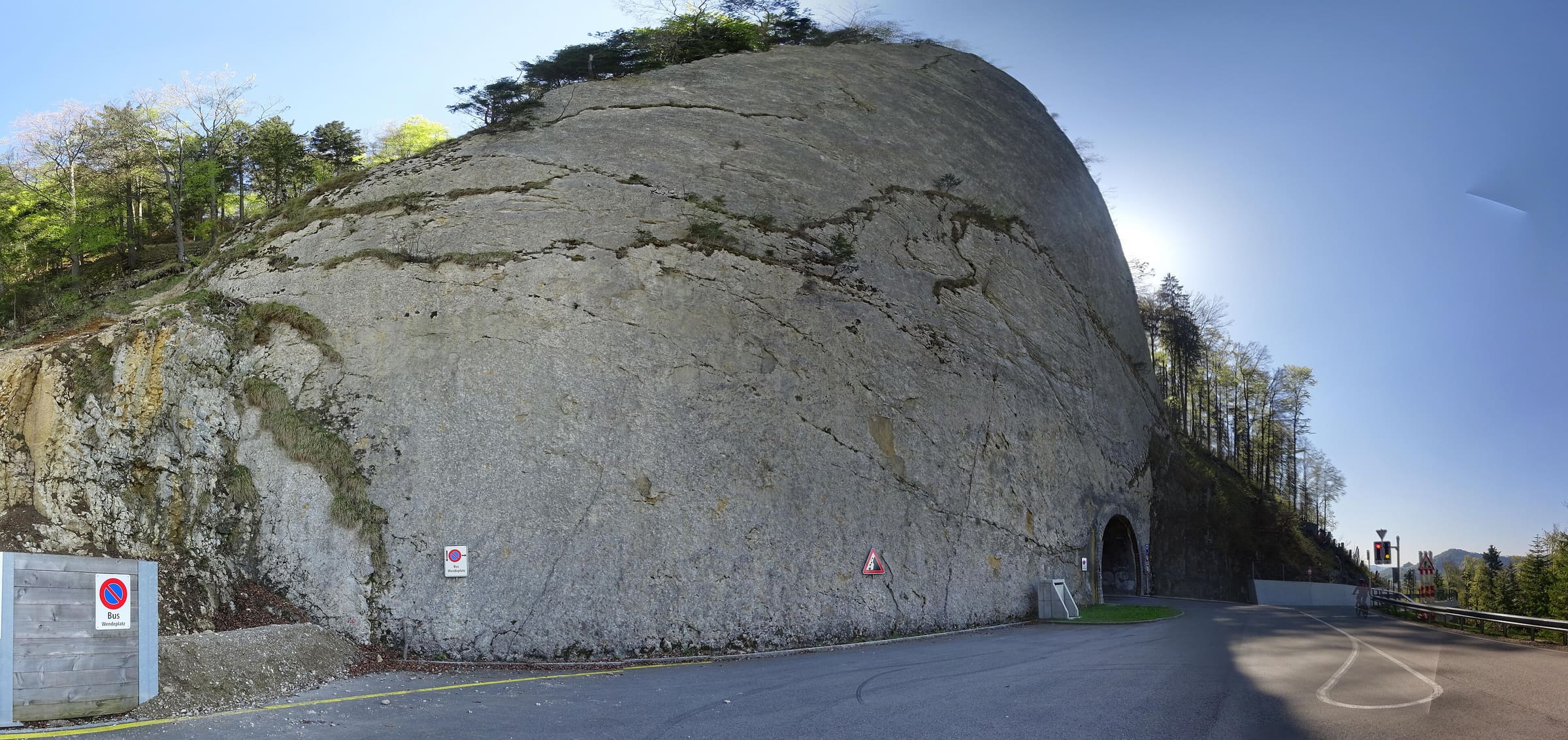
ViaJura
Reported OSM relation: SchweizMobil regional hiking route 80, ViaJura, Basel to Biel, 129.3 km OSM 2-D. Vertical figures sampled from Copernicus GLO-30.
Distance 129.3 km Reported · High point provisional (DEM sample) · T2 · OSM route
Thurgau
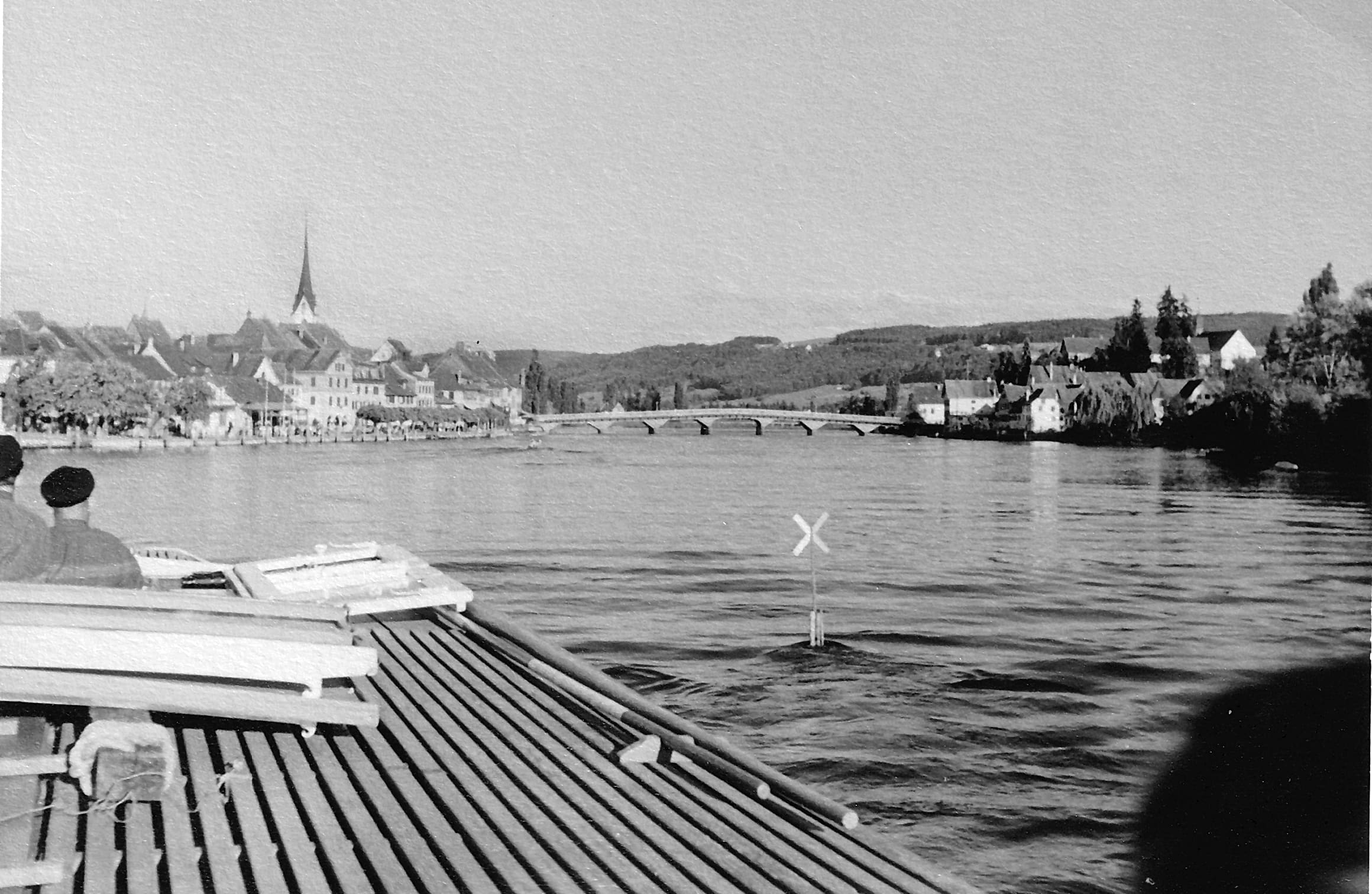
ViaRhenana
Reported OSM relation: SchweizMobil regional hiking route 60, ViaRhenana, Kreuzlingen to Basel, 189.3 km OSM 2-D. Vertical figures sampled from Copernicus GLO-30.
Distance 189.3 km Reported · High point provisional (DEM sample) · T2 · OSM route
Valais
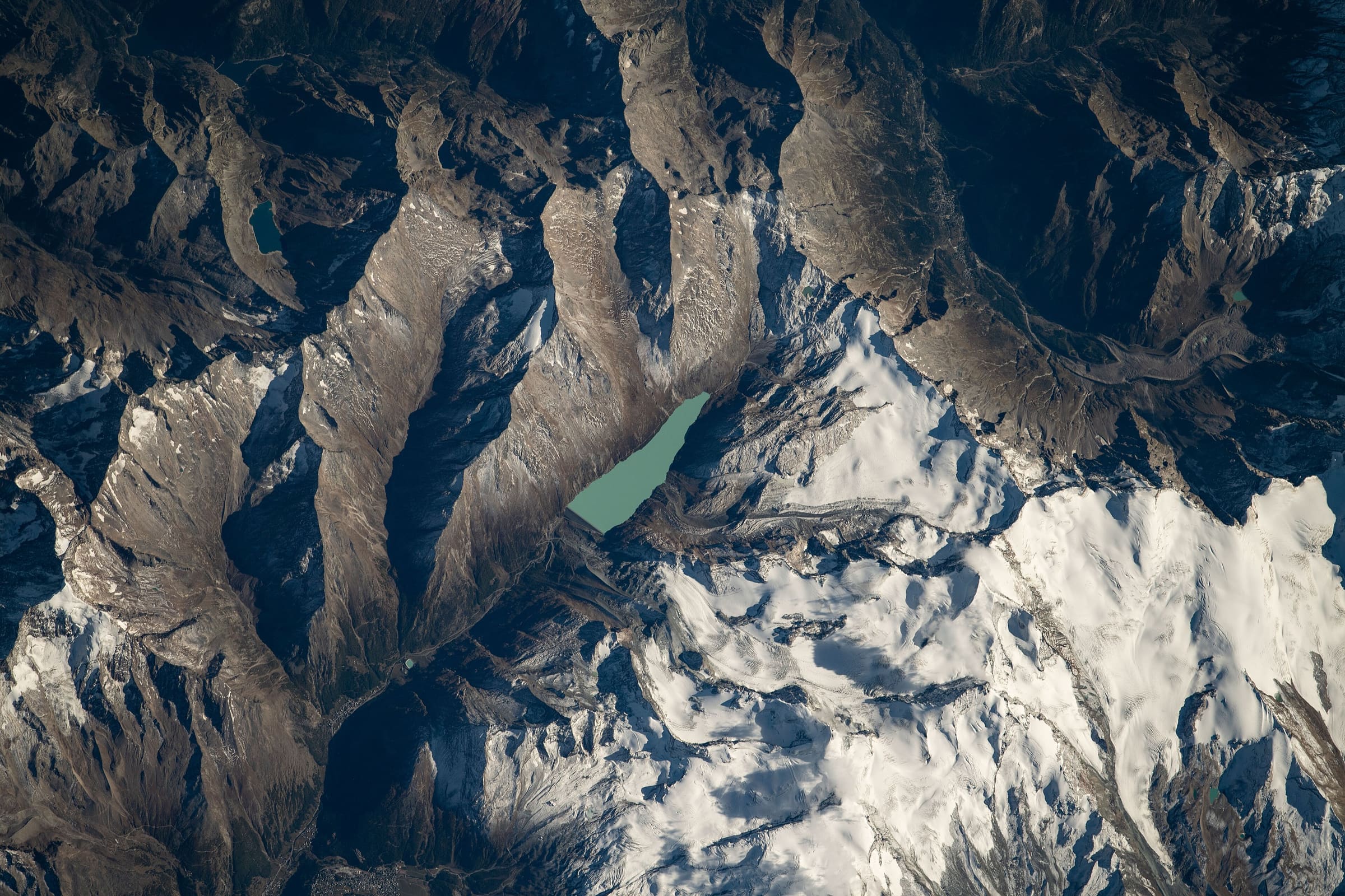
ViaStockalper
Reported OSM relation: SchweizMobil regional hiking route 90, ViaStockalper, Brig to Gondo, 30.4 km OSM 2-D. Vertical figures sampled from Copernicus GLO-30.
Distance 30.4 km Reported · Ascent provisional (DEM sample) · High point provisional (DEM sample) · T2 · OSM route

Solothurn
ViaSurprise
Reported OSM relation: SchweizMobil regional hiking route 32, ViaSurprise, Dornach to Dornach, 87.6 km OSM 2-D. Vertical figures sampled from Copernicus GLO-30.
Distance 87.6 km Reported · High point provisional (DEM sample) · T2 · OSM route
Ticino
ViaSuworow
Reported OSM relation: SchweizMobil regional hiking route 55, ViaSuworow, Airolo to Ilanz, 171.6 km OSM 2-D. Vertical figures sampled from Copernicus GLO-30.
Distance 171.6 km Reported · High point provisional (DEM sample) · T2 · OSM route
Uri
Vier-Quellen-Weg
Reported OSM relation: SchweizMobil regional hiking route 49, Vier-Quellen-Weg, Oberalppass to Rhonegletscher, 81.8 km OSM 2-D. Vertical figures sampled from Copernicus GLO-30.
Distance 81.8 km Reported · High point provisional (DEM sample) · T2 · OSM route
Schwyz
Waldstätterweg
Reported OSM relation: SchweizMobil regional hiking route 98, Waldstätterweg, Brunnen to Rütli, 114.2 km OSM 2-D. Vertical figures sampled from Copernicus GLO-30.
Distance 114.2 km Reported · High point provisional (DEM sample) · T2 · OSM route

Valais
Walliser Sonnenweg
Reported OSM relation: SchweizMobil regional hiking route 61, Walliser Sonnenweg, Crans-Montana to Brig, 76 km OSM 2-D. Vertical figures sampled from Copernicus GLO-30.
Distance 76 km Reported · High point provisional (DEM sample) · T2 · OSM route
Steiermark
Weg der 100.000 Schritte
Reported OSM relation: Weg der 100.000 Schritte, Arzberg loop (Passailer Kessel), 87.9 km OSM 2-D. Vertical figures sampled from Copernicus GLO-30.
Distance 87.9 km Reported · High point provisional (DEM sample) · 6d · SAC T2

Uri
Weg der Schweiz
Reported OSM relation: SchweizMobil regional hiking route 99, Weg der Schweiz, Rütli to Brunnen, 34.9 km OSM 2-D. Vertical figures sampled from Copernicus GLO-30.
Distance 34.9 km Reported · Ascent provisional (DEM sample) · High point provisional (DEM sample) · T2 · OSM route
Zürich
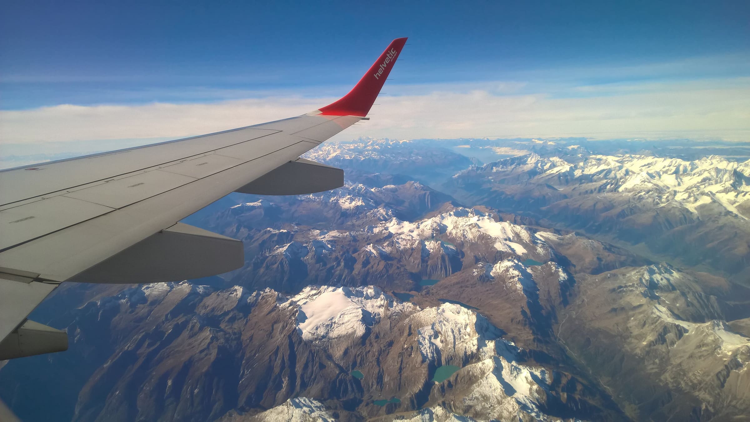
Züri Oberland-Höhenweg
Reported OSM relation: SchweizMobil regional hiking route 69, Züri Oberland-Höhenweg, Winterthur to Rapperswil, 74.3 km OSM 2-D. Vertical figures sampled from Copernicus GLO-30.
Distance 74.3 km Reported · High point provisional (DEM sample) · T2 · OSM route
Zürich
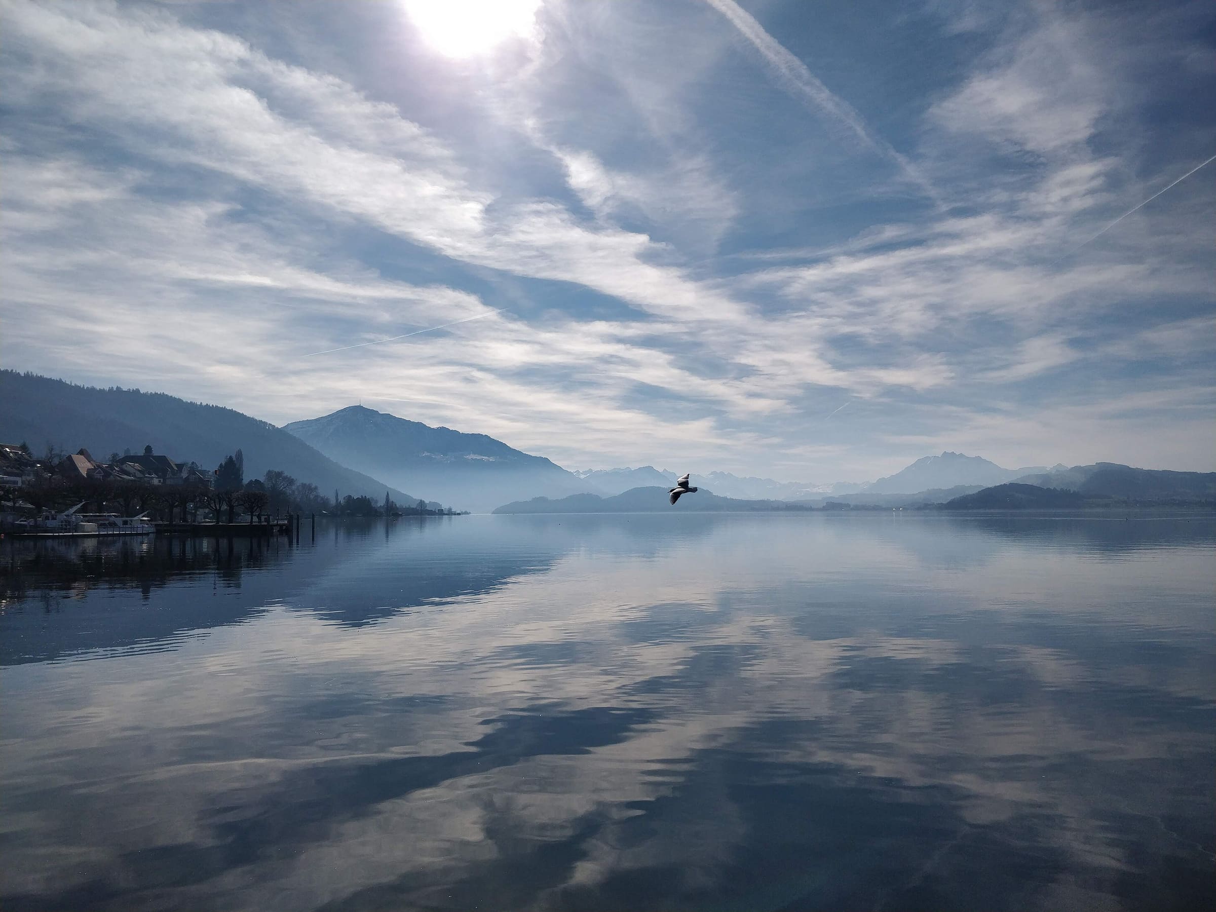
Zürich-Zugerland-Panoramaweg
Reported OSM relation: SchweizMobil regional hiking route 47, Zürich-Zugerland-Panoramaweg, Zürich Triemli to Zug, 34.3 km OSM 2-D. Vertical figures sampled from Copernicus GLO-30.
Distance 34.3 km Reported · Ascent provisional (DEM sample) · High point provisional (DEM sample) · T2 · OSM route
Dolpo
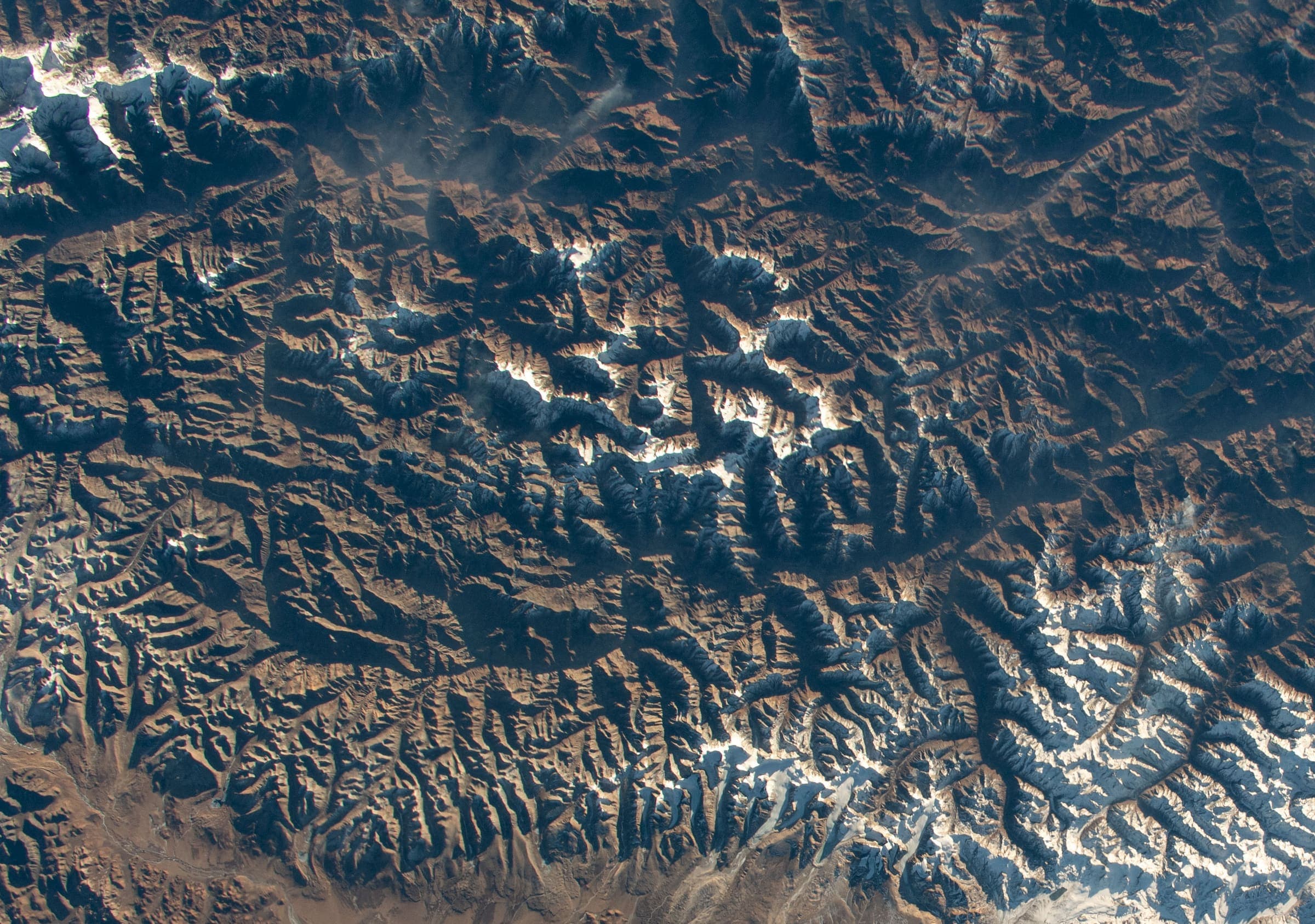
Upper Dolpo
OSM hiking route Upper Dolpo, Nepal (209.31 km line). Permits are the headline (official NTB/NTNC 2026-09-21). Vertical figures from the Wave N GLO-30 resample.
Distance 209.31 km Reported · Ascent provisional (DEM sample) · High point provisional (DEM sample) · 24d · SAC T3
Maharashtra
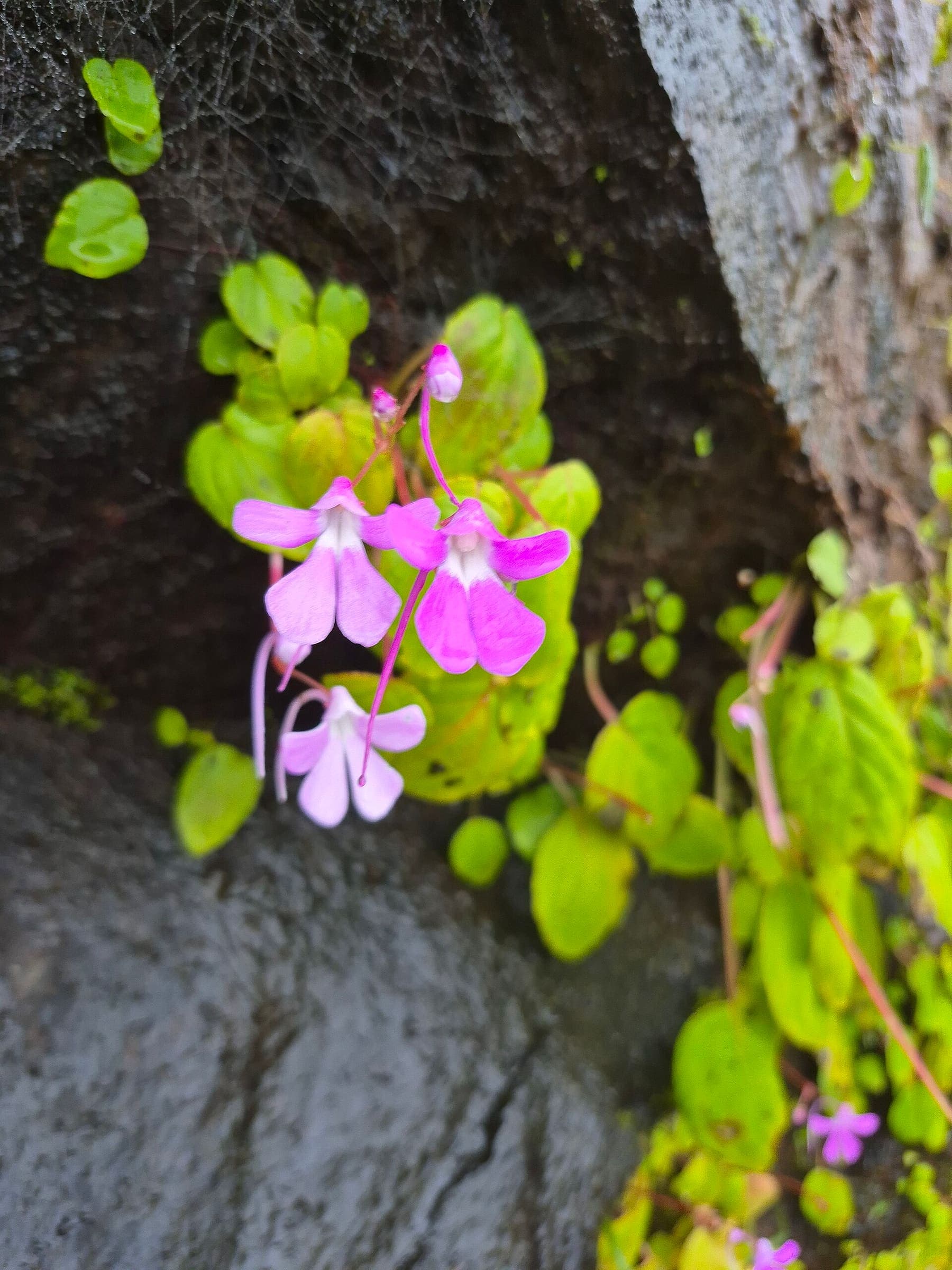
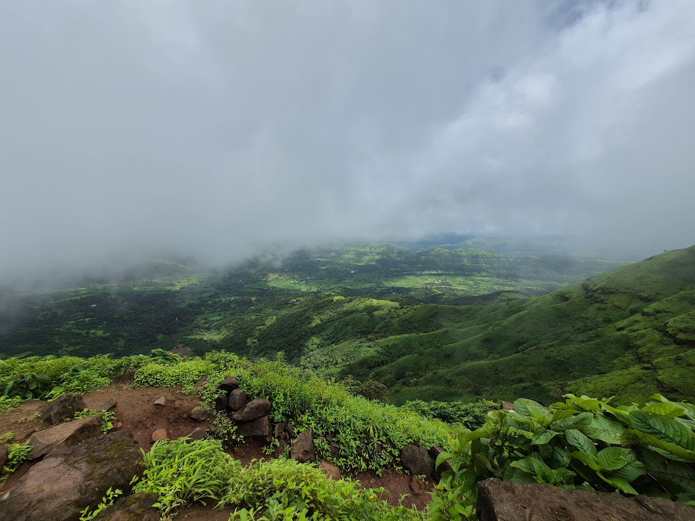
Vaghera Fort
OSM hiking route Vaghera Fort, Maharashtra (9.07 km line). Vertical figures from the GLO-30 resample. Days unknown.
Distance 9.07 km Reported · Ascent provisional (DEM sample) · High point provisional (DEM sample) · T2 · OSM route
Maharashtra
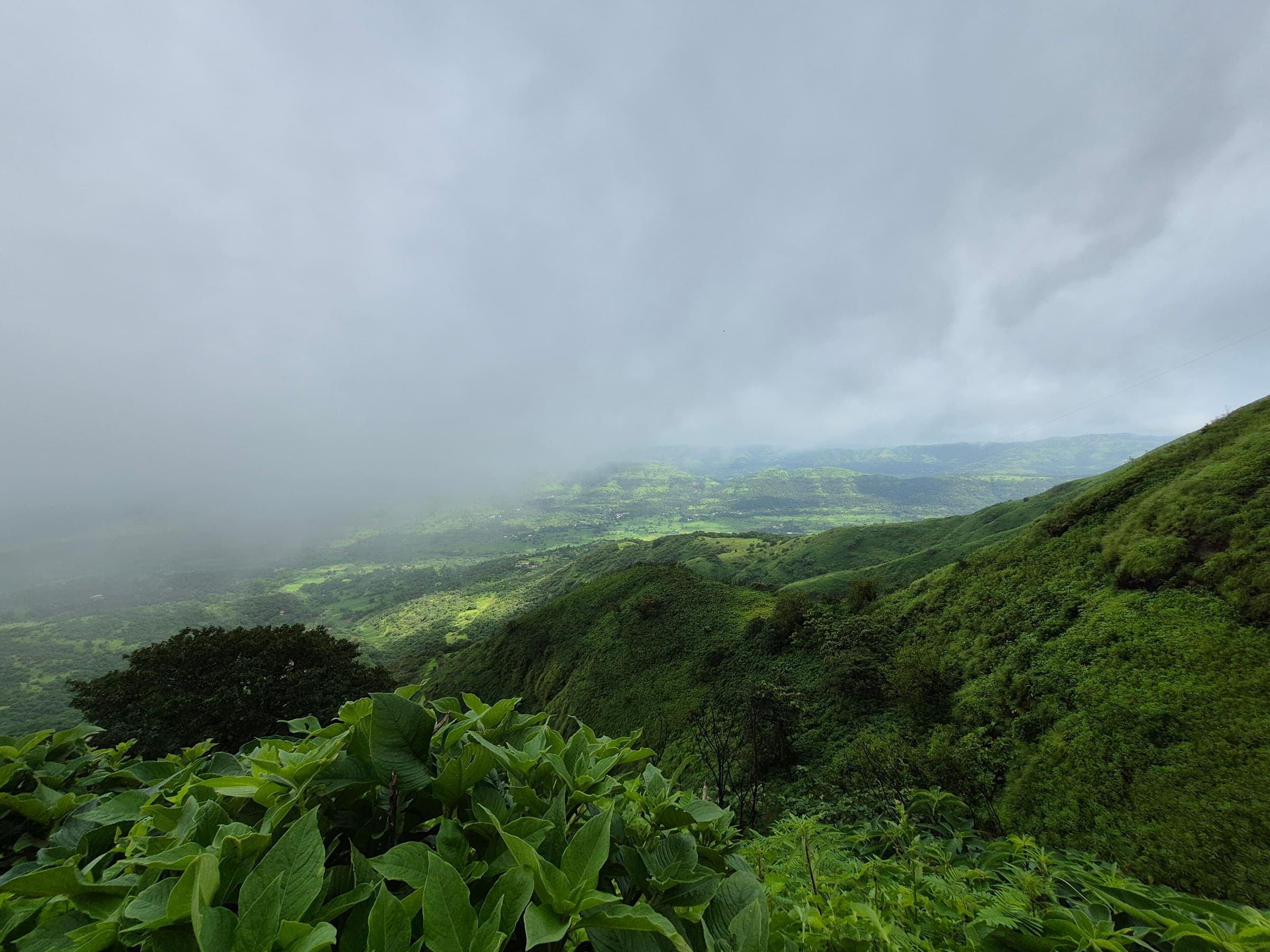
Vandev Kavnai Fort
OSM hiking route Vandev Kavnai Fort, Maharashtra (6.05 km line). Vertical figures from the GLO-30 resample. Days unknown.
Distance 6.05 km Reported · Ascent provisional (DEM sample) · High point provisional (DEM sample) · T2 · OSM route
Maharashtra
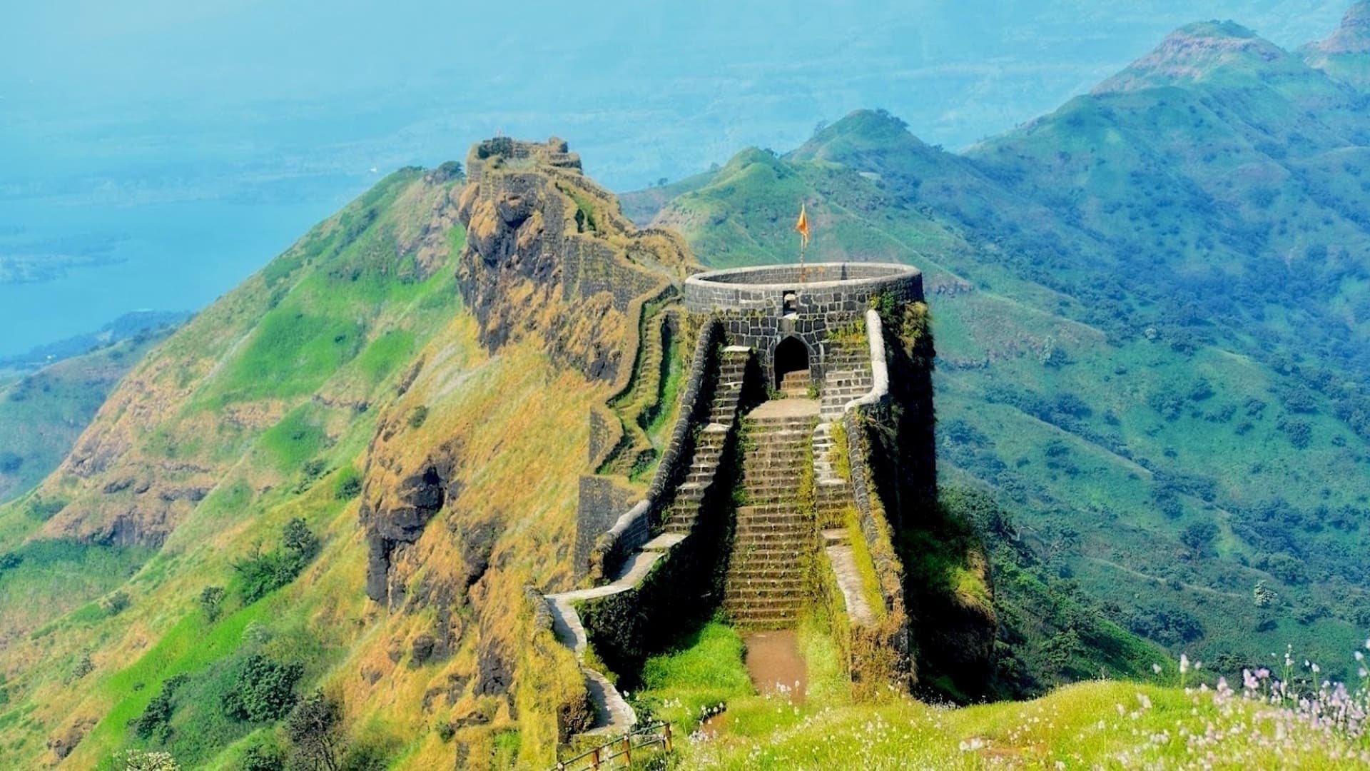
Varugad Fort
OSM hiking route Varugad Fort, Maharashtra (1.71 km line). out-and-back; one-way 1.71 km, round-trip 3.42 km in prose. Vertical figures from the GLO-30 resample. Days unknown.
Distance 1.71 km Reported · Ascent provisional (DEM sample) · High point provisional (DEM sample) · T2 · OSM route
Maharashtra
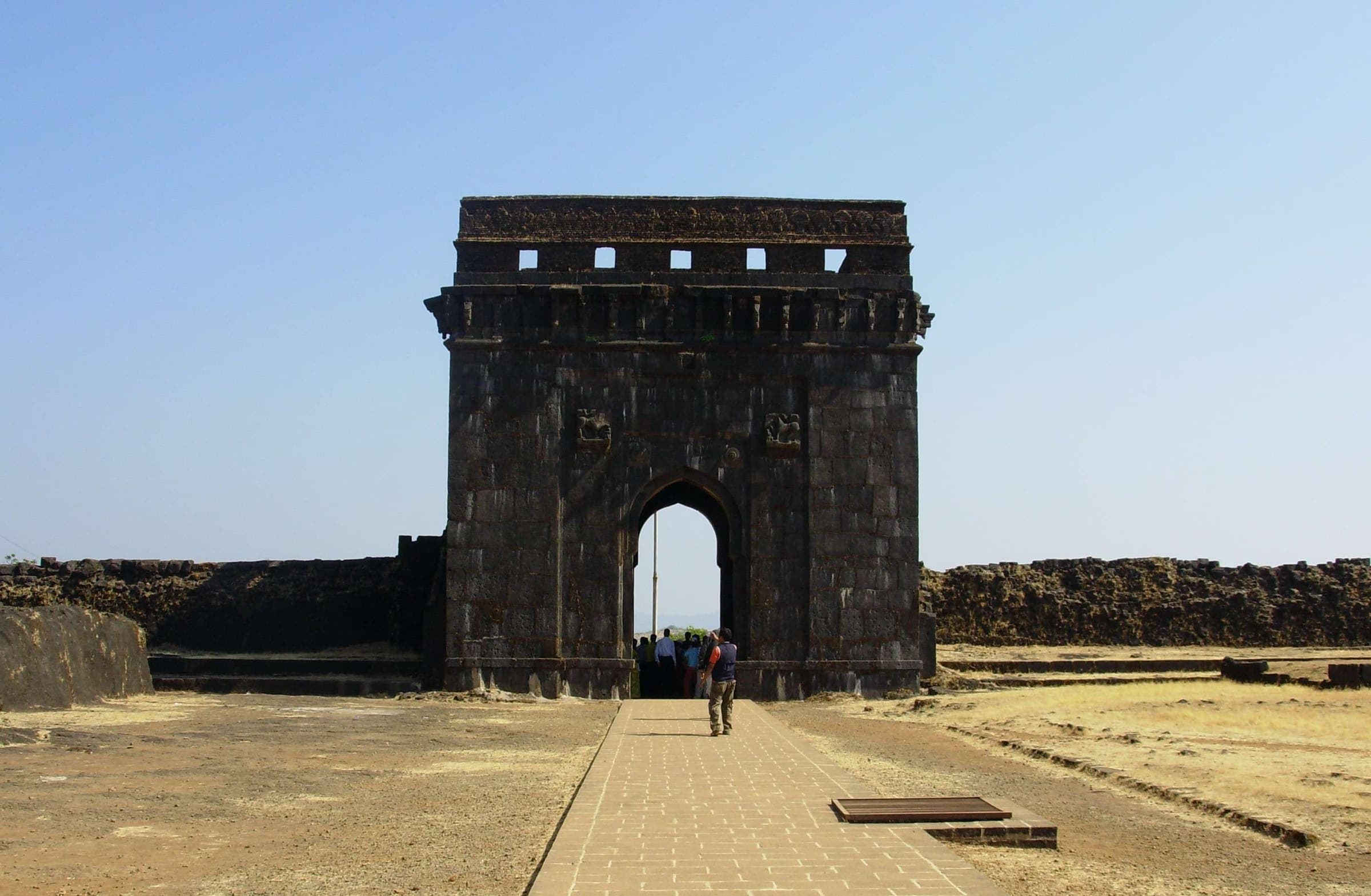
Vasota Fort
OSM hiking route Vasota Fort, Maharashtra (11.85 km line). ⚠ 2-component 113 m gap; Koyna WLS permit reported required (secondary). Vertical figures from the GLO-30 resample. Days unknown.
Distance 11.85 km Reported · Ascent provisional (DEM sample) · High point provisional (DEM sample) · T2 · OSM route
Maharashtra
Visapur Fort
OSM hiking route Visapur Fort, Maharashtra (4.1 km line). out-and-back; one-way 4.1 km, round-trip 8.2 km in prose. Vertical figures from the GLO-30 resample. Days unknown.
Distance 4.1 km Reported · Ascent provisional (DEM sample) · High point provisional (DEM sample) · T3 · OSM route
Maharashtra
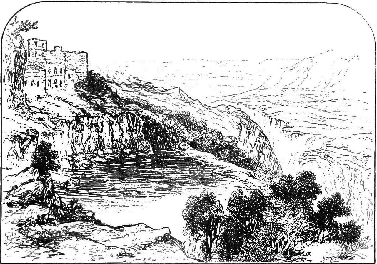
Vishramgad Fort
OSM hiking route Vishramgad Fort, Maharashtra (2.18 km line). out-and-back; one-way 2.18 km, round-trip 4.36 km in prose. Vertical figures from the GLO-30 resample. Days unknown.
Distance 2.18 km Reported · Ascent provisional (DEM sample) · High point provisional (DEM sample) · T2 · OSM route
Scottish Highlands
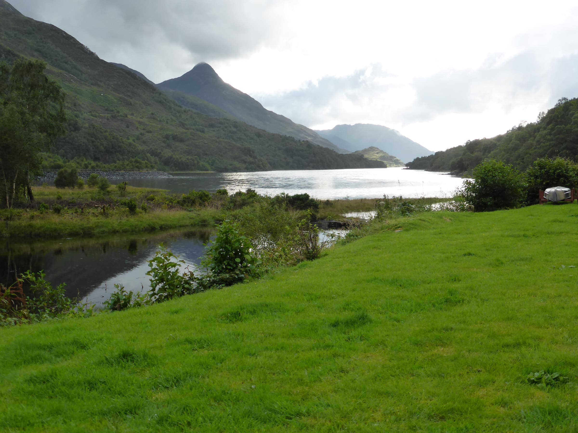
West Highland Way
OSM hiking route in the Scottish Highlands (153.2 km line). Vertical figures sampled from Copernicus GLO-30.
Distance 153.2 km Reported · High point provisional (DEM sample) · T2 · OSM route
Uttarakhand
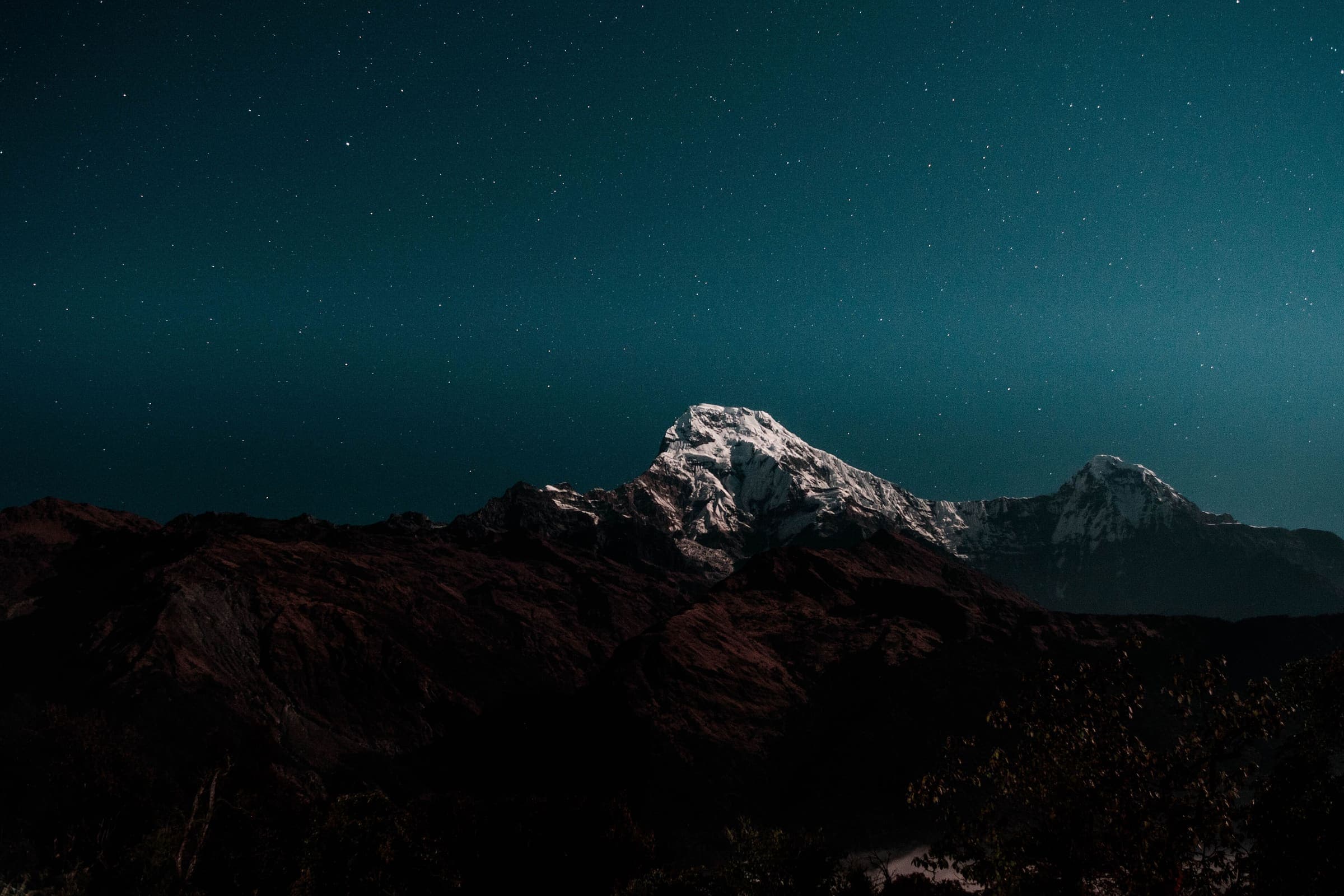
Valley of Flowers
OSM hiking route into Valley of Flowers National Park, Uttarakhand (17.73 km line), Govindghat via Ghangaria. Not Hemkund Sahib 11308638 — shared stem; related, not merged. Vertical figures from the GLO-30 resample. Days unknown.
Distance 17.73 km Reported · Ascent provisional (DEM sample) · High point provisional (DEM sample) · T1 · OSM route
Tasmania
Wineglass Bay (Freycinet)
Short OSM lookout-area segment, not the full car-park to beach walk. Tasmania Parks Pass, not a trail lottery.
Distance 2.04 km Reported · Ascent provisional (DEM sample) · High point provisional (DEM sample) · 1d · SAC T2
New South Wales
Wollumbin (Mount Warning)
Mapped summit track. Closed at the request of Aboriginal custodians. Cited 1,156 m is a landmark, not this line's high. This is not an open hike to the summit.
Distance 4.28 km Reported · Ascent provisional (DEM sample) · High point provisional (DEM sample) · 1d · SAC T3

Mount Rainier
Wonderland Trail
Schematic Sunrise Visitor Center to Panhandle Gap. Not the full loop and not a GPS track. DEM high 2,050 m at Panhandle Gap. Mount Rainier 4,392 m is a landmark. The Wonderland mega-relation is related, not measured.
Distance 6.61 km provisional (pin-to-pin derivation) · High point provisional (DEM sample) · T3 · schematic

Peaks of the Balkans
Valbona to Rragam
Same two resolved pins as Valbona Valley, kept as its own slug. Schematic Valbonë to Rragam. Not a GPS track.
Distance 6.33 km provisional (pin-to-pin derivation) · High point provisional (DEM sample) · T2 · schematic

Peaks of the Balkans
Valbona Valley
Schematic Valbonë to Rragam. Not a GPS track. No published kilometre in the marquee list. DEM high 1,140 m. Return is not doubled.
Distance 6.33 km provisional (pin-to-pin derivation) · High point provisional (DEM sample) · T2 · schematic

Peaks of the Balkans
Via Dinarica (Albania)
Schematic Albania spine shared with Peaks of the Balkans: Theth, Valbona Pass, Valbonë, Çerem. Geometries are not merged. Not a GPS track. No published Albania-section kilometre was in the marquee list.
Distance 19.13 km provisional (pin-to-pin derivation) · High point provisional (DEM sample) · 1d · SAC T3
Mustang
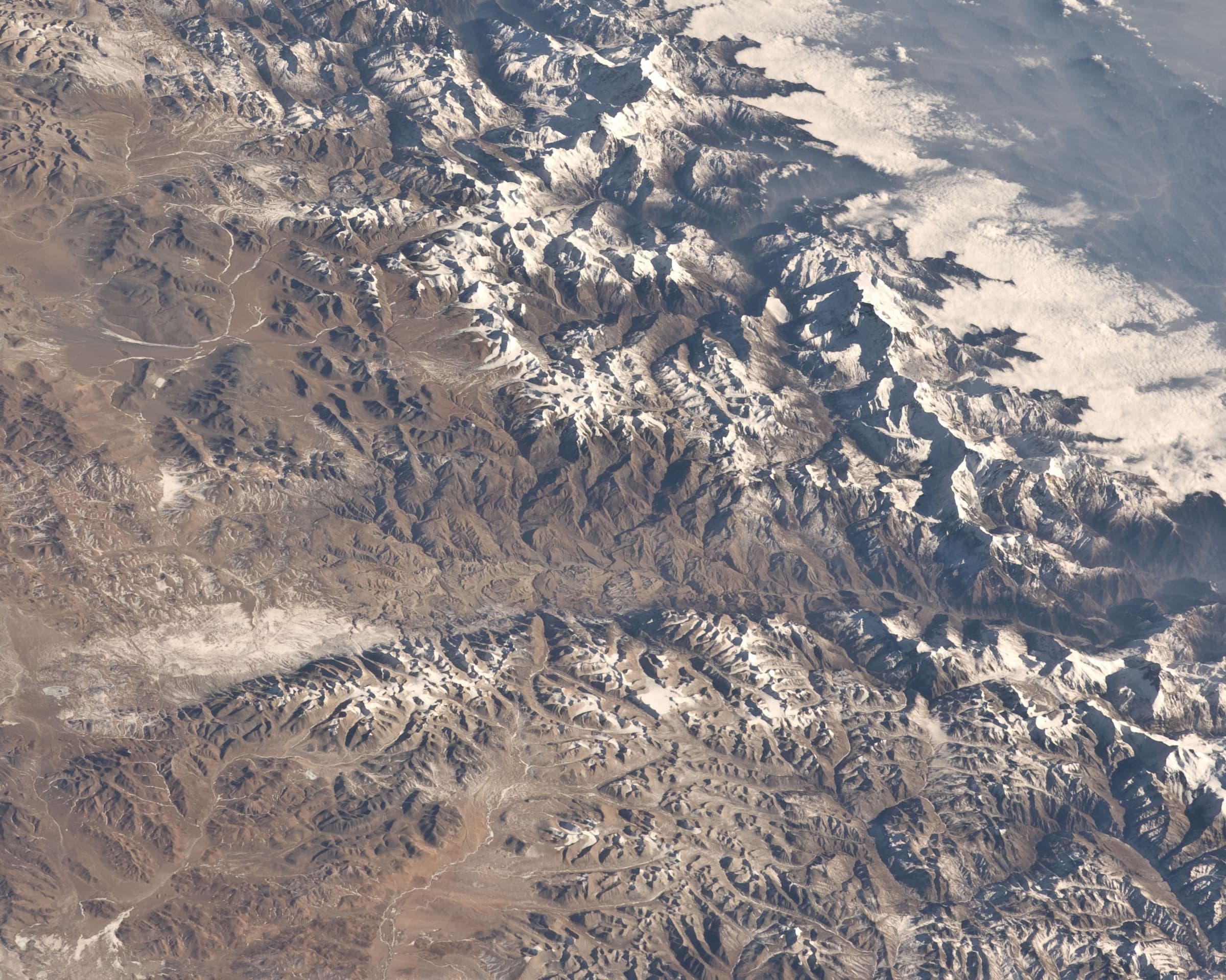
Upper Mustang
Curated schematic — not walking distance. Pin-to-pin OSM named-waypoint line Jomsom → Lo Manthang. Cited itinerary ~120 km round from Jomsom (provisional, secondary). Restricted-area RAP + ACAP (official NTB/Immigration 2026-09-21). High ~3,950 m is the cited pass landmark.
Distance 120 km Reported · High point Reported · T2 · schematic
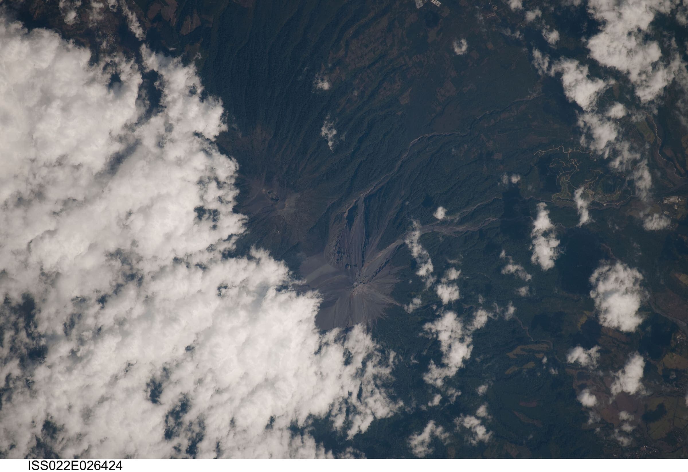
Sacatepéquez
Volcán Acatenango
Curated schematic — not walking distance. Pin-to-pin OSM named-waypoint line from La Soledad to Volcán Acatenango (12.6 km one-way). Return retraces; the stored line is not doubled. Vertical figures are a GLO-30 sample of those pins, not a walking profile. typicalDays 2 is the published overnight (typical, not a statute).
Distance 12.6 km provisional (round figure) · High point provisional (DEM sample) · 2d · SAC T3
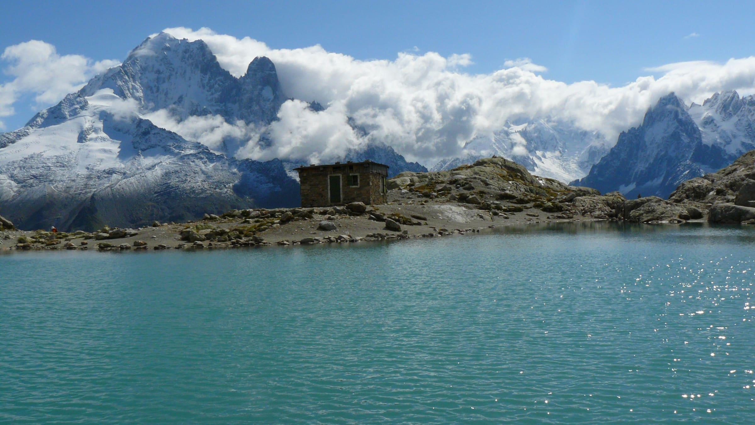
Valais
Walker's Haute Route
Curated schematic — not walking distance. Pin-to-pin OSM village and hut line from Chamonix (France) to Zermatt (Valais), 122.6 km. Vertical figures are a GLO-30 sample of those pins, not a walking profile. typicalDays 14 is the recognised hut-to-hut window (typical, not a statute).
Distance 122.6 km provisional (round figure) · High point provisional (DEM sample) · 14d · SAC T3