
ViaGottardo
Reported OSM superroute: SchweizMobil national hiking route 7, ViaGottardo, Basel to Chiasso, 322.1 km OSM walking. Official stage 7 crosses Lake Lucerne by boat (not walking). Vertical figures sampled from Copernicus GLO-30.
Saved on this device only. Nothing is sent to an account or a payment service.
Distance 322.1 km Reported · Ascent Computed · High point Computed · 20d · SAC T2 · Moderate (Gotthard alpine stages harder)
Cite this record
The Hiking World, ViaGottardo, verified 2026-10-07, https://www.thehikingworld.com/trails/via-gottardo
How we verify · last checked 2026-10-07
Byline
- The Hiking World editorial · author
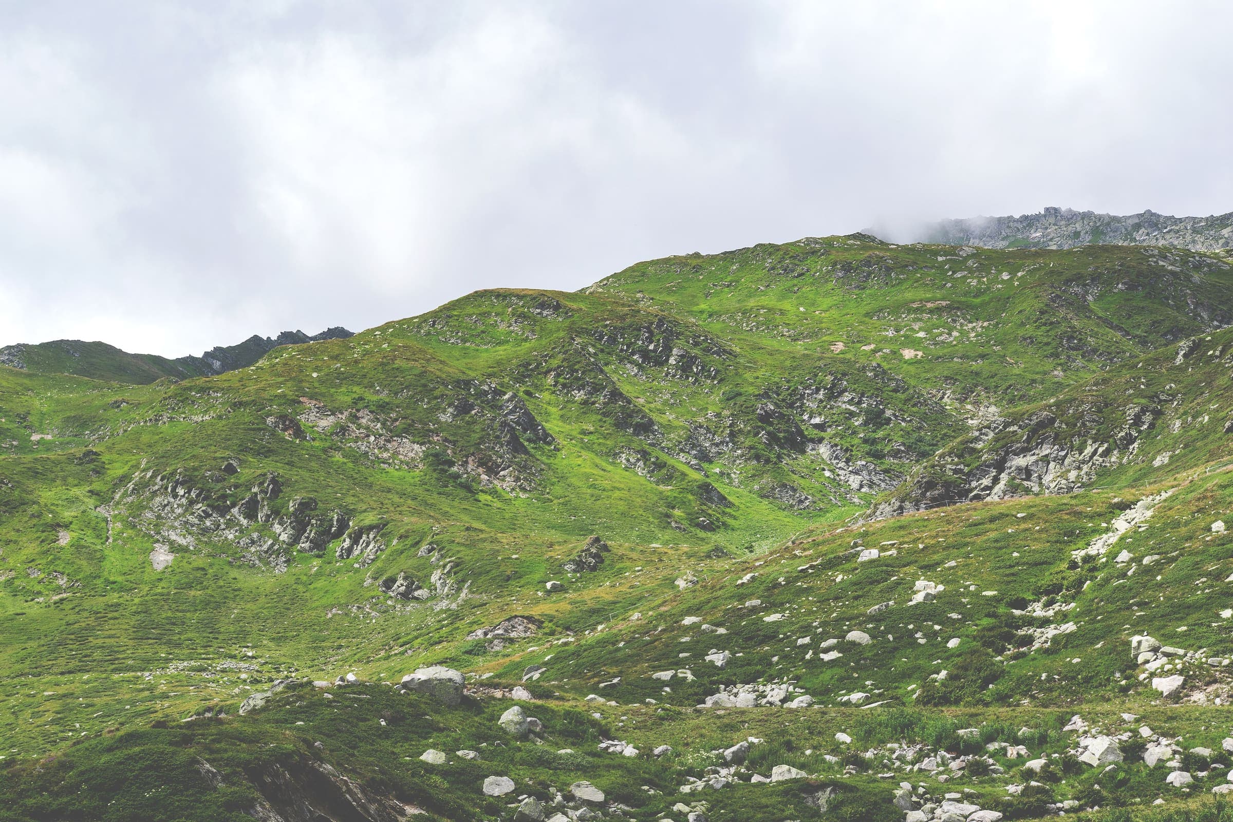
Figures marked provisional are seed data and still need verification. Source and last-checked date sit under each cited value.
Forecast at page generation, 2026-10-26T10:10:33.236Z
Representative point on ViaGottardo: 46.726°, 8.619°, about 2109 m. A forecast, not a trail-surface reading.
At generation: 5°C, Partly cloudy.
- 2026-10-26 Overcast, -2–5°C
- 2026-10-27 Overcast, 4–11°C
- 2026-10-28 0–4°C
Source Open-Meteo. Mountain weather changes with elevation and aspect.
Life-safety notices on this page come from the issuer.
Altitude weather delta
High 2,109 m minus low 220 m is 1,889 m of relief on this record. A standard tropospheric lapse of 6.5 °C per 1,000 m implies about 12.3 °C cooler at the high point than the valley, all else equal.
That is a model (International Standard Atmosphere environmental lapse), not a forecast and not a trail-closure. Wind, snow, and storms stay in Hazards.
derived:lapse-rate · computed 2026-09-10 · provisionalISA 6.5 °C / 1,000 m · wikipedia.org · 2026-09-10
Map loads when this section is on screen.
GeoJSONLine download is the stored OSM geometry, simplified. It is not a surveyed GPS track. GPX · GeoJSON
Cumulative ascent not published — stored line geometry is too coarse for a reliable DEM figure.
Editorial v1 · Provisional catalog
Moderate (Gotthard alpine stages harder)
- SAC T2–T3 (mapped — no official SAC grade)
- Mountain hiking. Continuous trail, some steep ground, sure-footedness helpful. through Demanding mountain hiking. Exposed sections possible; hands may be needed for balance.
- YDS Class 1
- Class 1. Walking on an established path; low fall risk.
Ingested from OpenStreetMap relation 2927508 (ODbL). The mapped line and 2D length are derived from that geometry. Ascent, descent, and high/low points are sampled from Copernicus GLO-30 (copernicus-dem:glo-30) and remain provisional. Water, permits, and hazards were not taken from OSM tags and must be verified.
OSM walking 2D length is 322.1 km (relation 2927508; type=superroute, ref=7, network=nwn, operator=Wanderland Schweiz, official_name=ViaGottardo). Numbered stages 1–20 stitched. lengthKm is verified walking: 322.1 km is within 3% of the official 330 km (https://schweizmobil.ch/en/hiking-in-switzerland/route-7; https://www.myswitzerland.com/en/experiences/route/viagottardo/, 330 km / 20 stages / 10,400 m ascent, checked 2026-09-09). Official km is the ±3% cross-check, not this DataPoint. Official stage 7 walking is 4 km (Flüelen jetty → Altdorf); the 330 km total already treats that stage as walking, not as the boat.
Official transport leg (not walking, not in lengthKm): stage 7 Luzern → Altdorf is covered mainly by scheduled boat on Lake Lucerne from the landing stage near the KKL to Flüelen (https://schweizmobil.ch/en/hiking-in-switzerland/route-7/stage-7, 4 km / 55 min walking after landing, checked 2026-09-09). OSM gap 28.9 km from 47.0512°N 8.3096°E (Luzern) to 46.9035°N 8.6238°E (Flüelen). That chord is not densified and is not walking distance. An optional Andermatt→Gotthard-Pass bus on a later stage is an elevation-saver, not this gap.
DEM high 2,109 m sits on the Gotthardpass band (~2,106 m). GLO-30 cumulative ascent 7,284 m is the same order as the official 10,400 m figure (same MySwitzerland table, checked 2026-09-09). High point left as Copernicus.
Water was not mapped to named WaterSource points (no honest atFraction). Villages and inns exist; they were not positioned from an official named list this pass.
Water
No water sources recorded.
Permits & fees
Permits, closures, and hazards on this page are a citation, not a substitute for the issuer’s current notice.
No permit required.
Getting there
Sourced legs to the Basel (OSM line start) base start station — where this trail record begins. This is not a route planner: durations are approximate and marked provisional until an official transport page confirms them.
Rail · Basel (BSL) → Basel
EuroAirport Basel Mulhouse Freiburg is the usual air gateway (https://en.wikipedia.org/wiki/EuroAirport_Basel_Mulhouse_Freiburg, checked 2026-09-09, CC BY-SA). SchweizMobil route 7 starts in Basel (https://www.myswitzerland.com/en/experiences/route/viagottardo/, checked 2026-09-09).
en.wikipedia.org · verified 2026-09-09 · wikidata · official · provisionalFerry · Luzern (KKL landing stage) → Flüelen
Official stage 7 is covered mainly by scheduled boat on Lake Lucerne from the landing stage near the KKL to Flüelen; walking on that stage is the 4 km from the Flüelen jetty to Altdorf (https://schweizmobil.ch/en/hiking-in-switzerland/route-7/stage-7, checked 2026-09-09). Not walking distance. No fare is copied here.
schweizmobil.ch · verified 2026-09-09 · official · provisionalRail · Chiasso → Zurich / Basel
The OSM line ends in Chiasso (https://en.wikipedia.org/wiki/Chiasso, checked 2026-09-09, CC BY-SA).
en.wikipedia.org · verified 2026-09-09 · wikidata · official · provisional
No walking permit on the Swiss public Wanderland network (https://www.schweizmobil.ch/en/hiking-in-switzerland, checked 2026-09-09). SAC and private hut booking is logistics. Stage 7's lake boat is an official transport leg, not walking. An optional Andermatt→Gotthard-Pass bus is an elevation-saver on a later stage, not this gap.
Plan from your location
Type a city, then pick a match. These links open external search tools — they do not fetch fares or timetables.
Getting there car-free
- Basel (OSM line start): car-free flag yes.
- Chiasso (OSM line end): car-free flag yes.
Trailheads
- Basel (OSM line start) car-free: yes
Official start at Basel (https://www.myswitzerland.com/en/experiences/route/viagottardo/, checked 2026-09-09). SBB serves Basel (https://en.wikipedia.org/wiki/Basel, checked 2026-09-09, CC BY-SA).
- Chiasso (OSM line end) car-free: yes
Official finish at Chiasso (same MySwitzerland page, checked 2026-09-09). SBB serves Chiasso (https://en.wikipedia.org/wiki/Chiasso, checked 2026-09-09, CC BY-SA).
Hazards
- Official boat on stage 7: Lake Lucerne is covered mainly by scheduled boat Luzern (KKL) → Flüelen; walking on that stage is 4 km Flüelen → Altdorf (https://schweizmobil.ch/en/hiking-in-switzerland/route-7/stage-7, checked 2026-09-09). Not walking distance. Confirm current sailings before travel; no fare is copied here.
- Alpine weather on the Gotthardpass stages: official 10,400 m of walking ascent over 20 stages (https://www.myswitzerland.com/en/experiences/route/viagottardo/, checked 2026-09-09). The pass is mountain hiking, not a glacier route.
- No walking permit on the Swiss public Wanderland network; SAC and private hut booking is logistics, not a trail permit (https://www.schweizmobil.ch/en/hiking-in-switzerland, checked 2026-09-09). There is no walking fee on that page.
Questions
Do I need a permit for ViaGottardo?
No trail permit is listed as required on this record for ViaGottardo.
When is the best time to hike ViaGottardo?
On this record the best season is: March–October (MySwitzerland / SchweizMobil).
How difficult is ViaGottardo?
ViaGottardo is graded MySwitzerland: technical Medium, physical Medium · SAC T2–T3 (mapped — no official SAC grade) · YDS 1. A sourced hazard on this record: Official boat on stage 7: Lake Lucerne is covered mainly by scheduled boat Luzern (KKL) → Flüelen; walking on that stage is 4 km Flüelen → Altdorf (https://schweizmobil.ch/en/hiking-in-switzerland/route-7/stage-7, checked 2026-09-09). Not walking distance. Confirm current sailings before travel; no fare is copied here.
How long is ViaGottardo?
The OSM 2-D length on this record is 322.1 km (verified). Published figures may differ. See /guides/how-long-is-the-trail
How do I get to ViaGottardo?
The record’s base start is Basel (OSM line start). A primary gateway on the record is EuroAirport Basel Mulhouse Freiburg (BSL). Trailhead transit notes are not included in this public FAQ.
Related trails
- Alpine Panorama Trail · Switzerland national routes
- Trans Swiss Trail · Switzerland national routes
- Via Alpina · Switzerland national routes
- Aargauer Weg · Switzerland
- Aletsch Panoramaweg · Switzerland
- Au fil du Doubs · Switzerland