
Hiking trails in Nepal
NP
Nepal in this catalog is eight trek desks, not a dump of every Himalayan path. Annapurna holds the Circuit (ACAP NPR 3,000 + TIMS NPR 2,000; Thorong La 5,416 m), the Sanctuary corridor to Annapurna Base Camp — distinct from the Circuit, one-way 23.88 km — Mardi Himal on the same ACAP+TIMS tariff, Nar/Phu as a restricted side valley (agency RAP + ACAP; relate-not-merge the Circuit), and Ghorepani Poon Hill as a curated schematic (~45 km cited loop; not walking distance). Khumbu holds Everest Base Camp and Everest Three Passes as related-not-merged superroutes inside Sagarmatha National Park (park entry plus the Khumbu Pasang Lhamu rural-municipality permit), and Gokyo Lakes as a curated schematic (~92 km cited round from Lukla; not walking distance; relate-not-merge EBC / Three Passes). Manaslu holds the Circuit (switched 2026-09-21 to OSM 19876603; RAP Sep–Nov USD 100/week then USD 15/day, MCAP NPR 3,000, Larkya La 5,106 m) and Tsum Valley on a separate RAP band — relate-not-merge. Langtang holds the Valley, Helambu, and Gosaikunda (Langtang NP + TIMS; Helambu and Gosaikunda stay related, not merged). Dolpo holds Upper Dolpo only (restricted RAP + Shey-Phoksundo NP; the OSM line is heavily provisional). Mustang holds Upper Mustang as a curated schematic (~120 km cited round from Jomsom; not walking distance; restricted RAP USD 50/day + ACAP; solo prohibited). Kanchenjunga is a real OSM relation to Pangpema 5,143 m, not a summit and no longer a pin-to-pin schematic (RAP USD 20/week + KCA). Makalu-Barun maps the upper Barun to Makalu Base Camp (one-way 19.99 km; park entry + TIMS; Shipton La is the published Num landmark). Permits are the headline and are official-sourced; OSM kilometres stay provisional. Schematic pin-to-pin lengths are never published as walking distance. Lower Dolpo and Dhaulagiri Circuit are held — not invented.
24 trails that are not catalogue stubs · 18 with an official fee on the issuer’s page. Permit calendar · Include catalogue stubs (100 total)
Key facts
Each figure is the stored value and its tier. A blank cell was not recorded.
| Trail | Distance | High point | Permit |
|---|---|---|---|
| Annapurna Circuit | 334.1 km · Reported | 5389 m · provisional (DEM sample) | Reported |
| Naar-Phu trek | 64.26 km · Reported | 5302 m · provisional (DEM sample) | Reported |
| Tilicho Trek | 64.5 km · Reported | 5431 m · provisional (DEM sample) | Reported |
| Naar to Tange | 52 km · Reported | 5392 m · provisional (DEM sample) | Reported |
| Mardi Himal trek | 30.09 km · Reported | 4222 m · provisional (DEM sample) | Reported |
| Tiuche Lake | 30.6 km · Reported | 4195 m · provisional (DEM sample) | Reported |
| Dudh Pokhari Lake | 26.5 km · Reported | 4864 m · provisional (DEM sample) | Reported |
| Miristi Khola | 25.9 km · Reported | 5907 m · provisional (DEM sample) | Reported |
| Kapuche Glacier Lake | 10.5 km · Reported | 2450 m · provisional (DEM sample) | Reported |
| Ice Lake Trek | 5.1 km · Reported | 4620 m · provisional (DEM sample) | Reported |
| Manaslu Circuit | 118.52 km · Reported | 5151 m · provisional (DEM sample) | Reported |
| Makalu Base Camp | 19.99 km · Reported | 4880 m · provisional (DEM sample) | Unverified |
| Annapurna Base Camp | 23.88 km · Reported | 4127 m · provisional (DEM sample) | Reported |
| Everest Base Camp | 53.72 km · Reported | 5293 m · provisional (DEM sample) | Reported |
| Everest Three Passes | 99.22 km · Reported | 5506 m · provisional (DEM sample) | Reported |
| Langtang Valley | 30.97 km · Reported | 3860 m · provisional (DEM sample) | Reported |
| Helambu | 43.41 km · Reported | 3670 m · provisional (DEM sample) | Unverified |
| GosainKunda Trek | 38.69 km · Reported | 4651 m · provisional (DEM sample) | Unverified |
| Tsum Valley | 38.11 km · Reported | 3862 m · provisional (DEM sample) | Unverified |
| Upper Dolpo | 209.31 km · Reported | 5332 m · provisional (DEM sample) | Unverified |
Map loads when this section is on screen.
Regions
9 records
Southern Asia
Annapurna
North-central Nepal massif. Teahouse valleys host some of the Himalaya's busiest long treks, with logistics still thinly documented in English.
Southern Asia
Khumbu
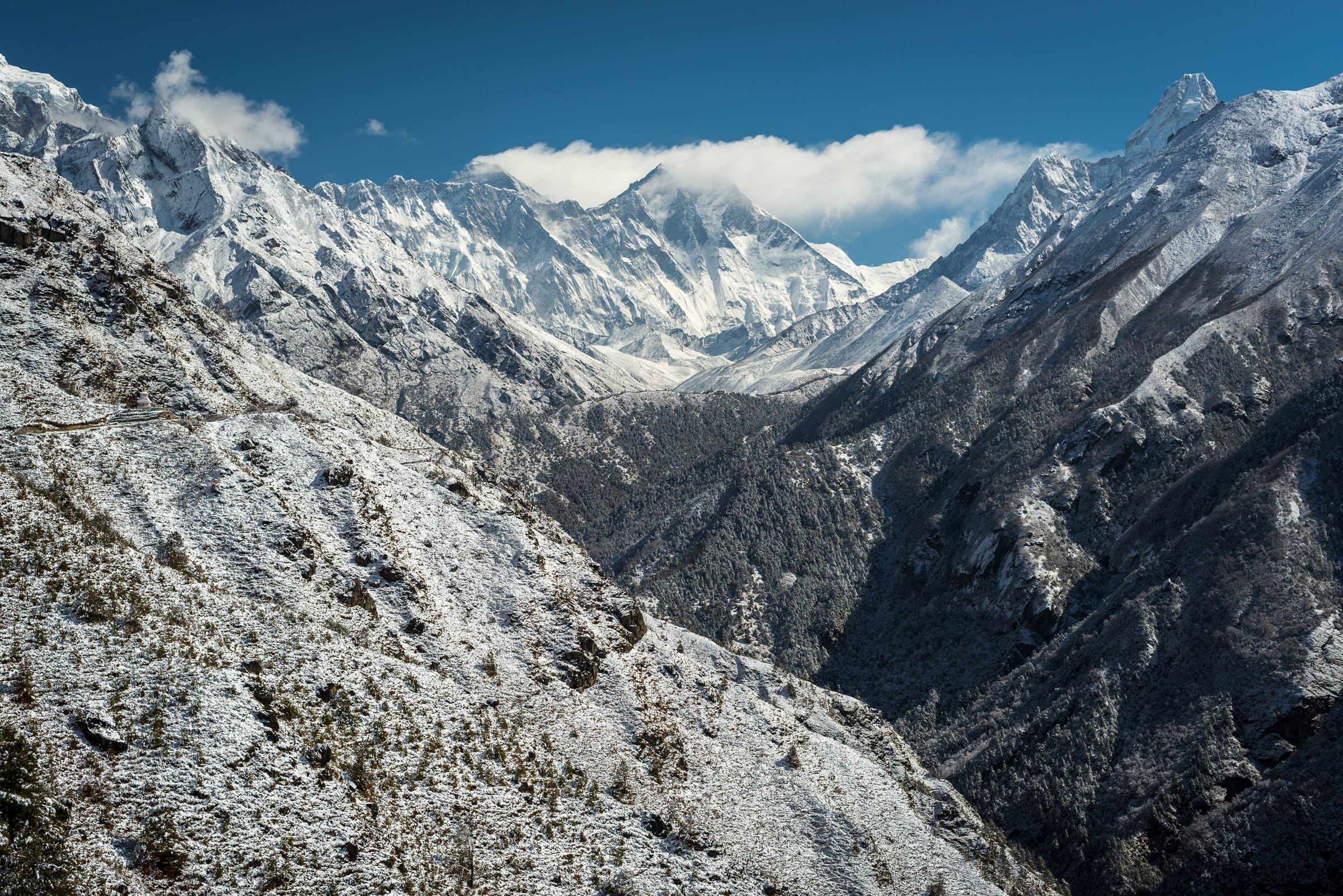
The Everest region — Sherpa villages, Sagarmatha National Park, and the teahouse route to Everest Base Camp.
Southern Asia
Nepal (tail catalogue)
Bulk OSM tail records for Nepal that are not the wired Annapurna, Everest, Manaslu, Langtang, or Kangchenjunga treks. Permits are unverified.
Southern Asia
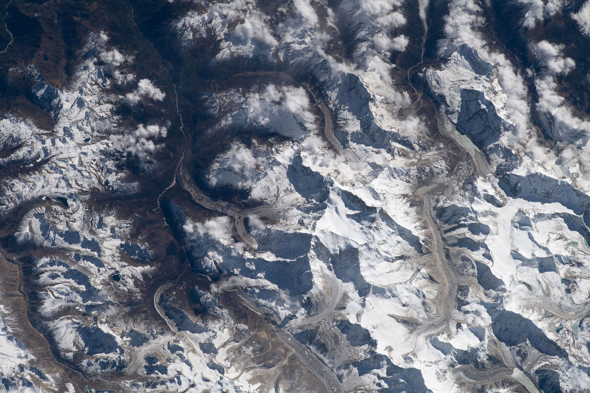
Manaslu
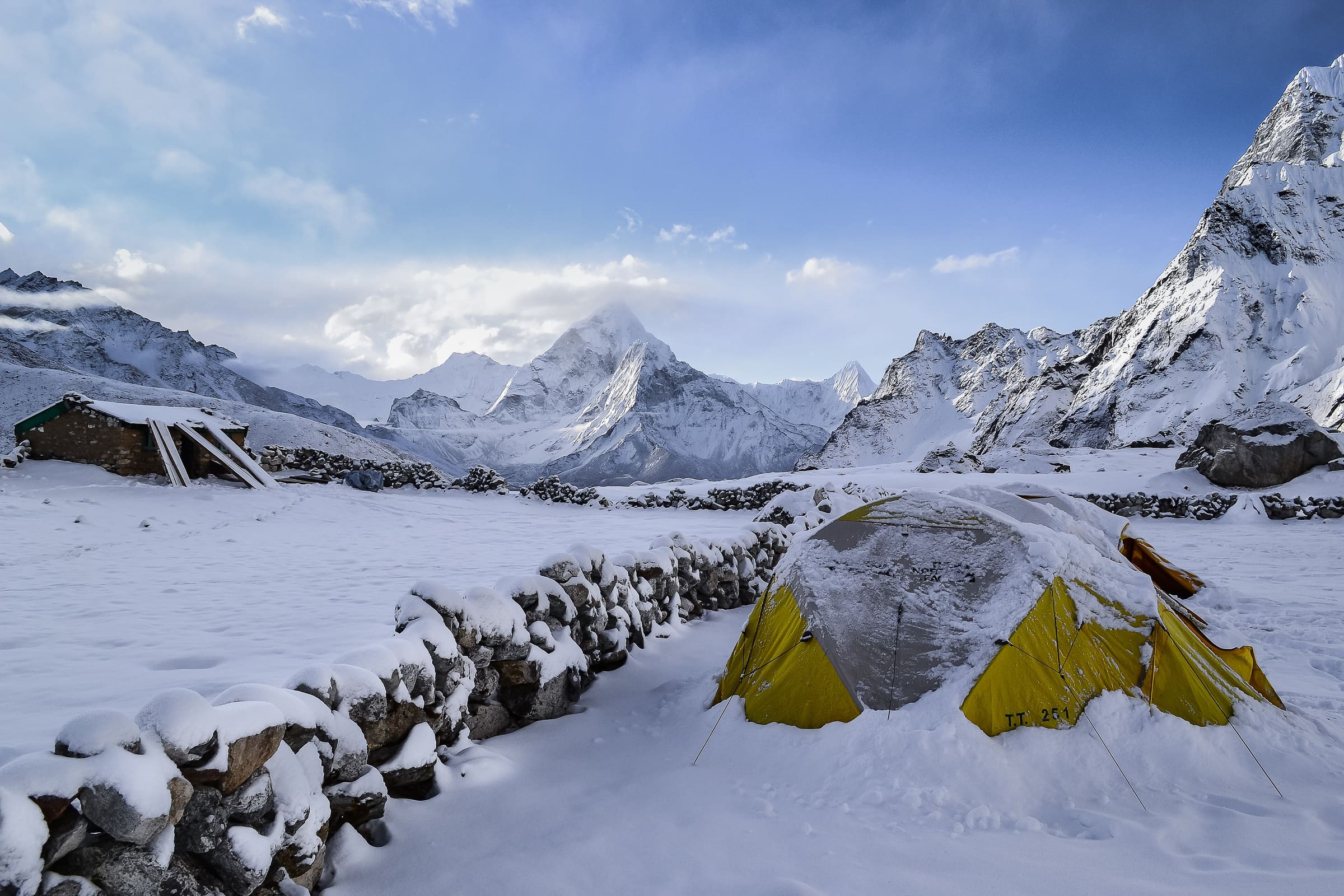
A remote restricted-area circuit around the world's eighth-highest peak, through Nubri and Tsum Buddhist valleys near the Tibetan border.
Southern Asia
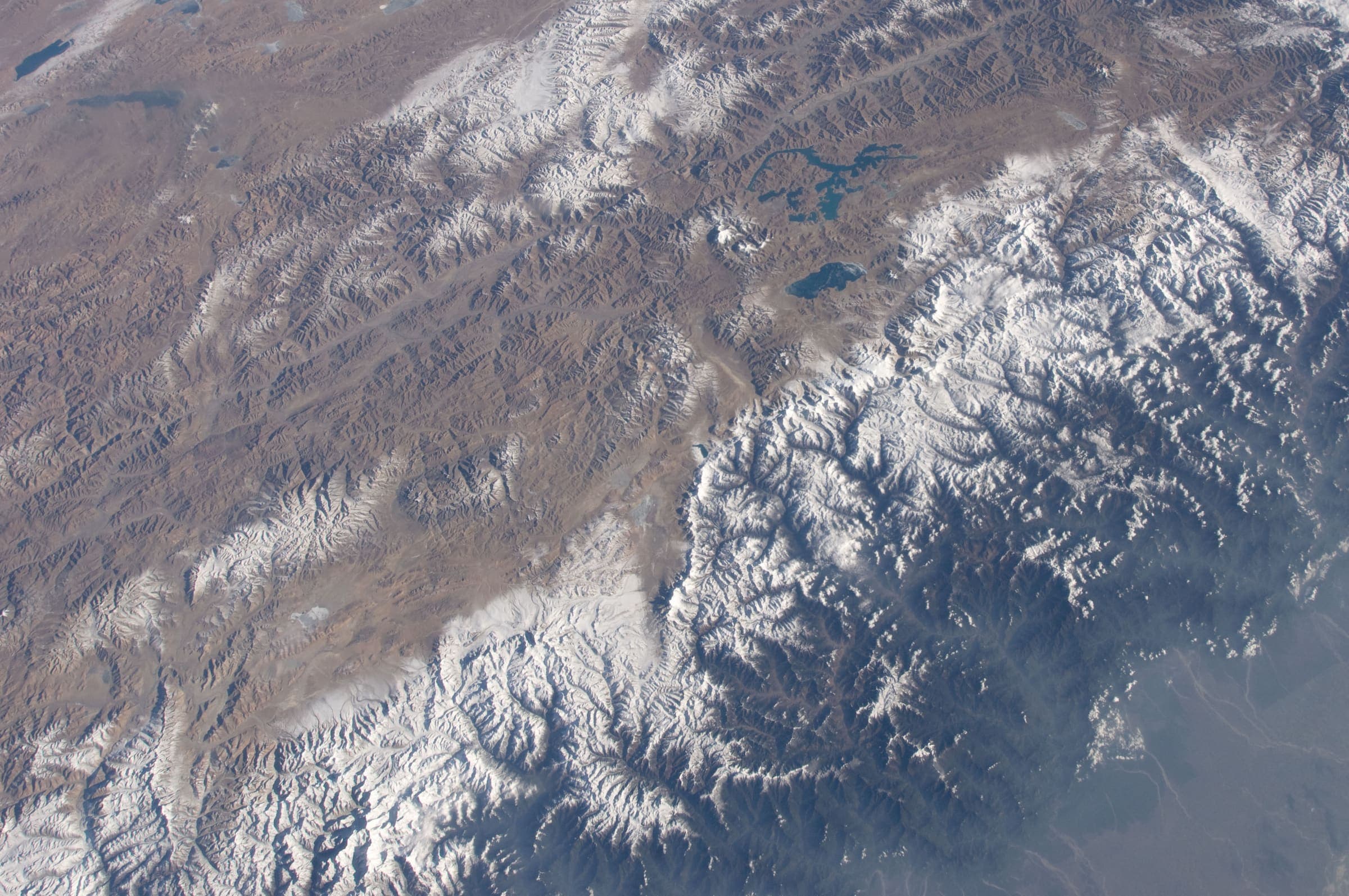
Makalu-Barun
The Barun valley on Makalu's south side — a remote east-Nepal approach to Makalu Base Camp, not the 8,485 m summit.
Southern Asia
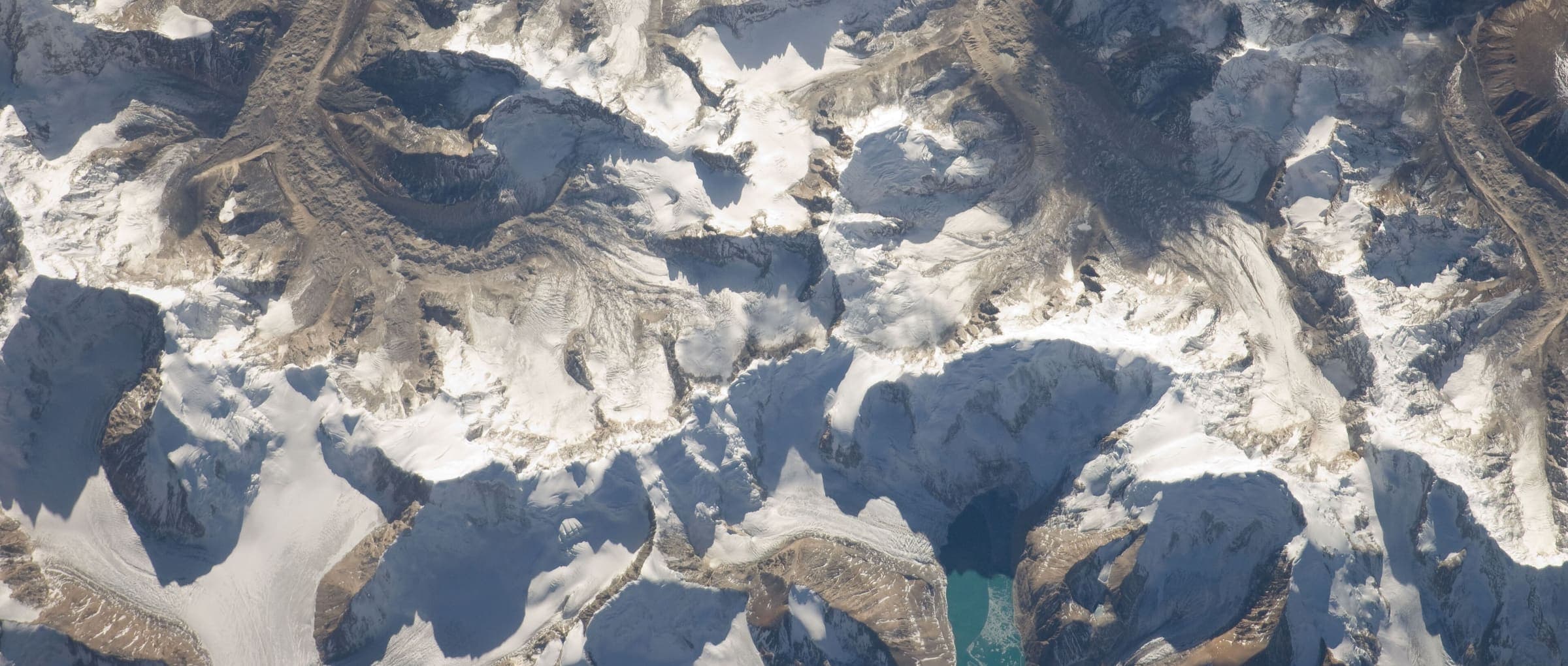
Kanchenjunga
Far-eastern Nepal toward Pangpema — restricted-area teahouse country on the north Kangchenjunga Base Camp trek, not the 8,586 m summit.
Southern Asia
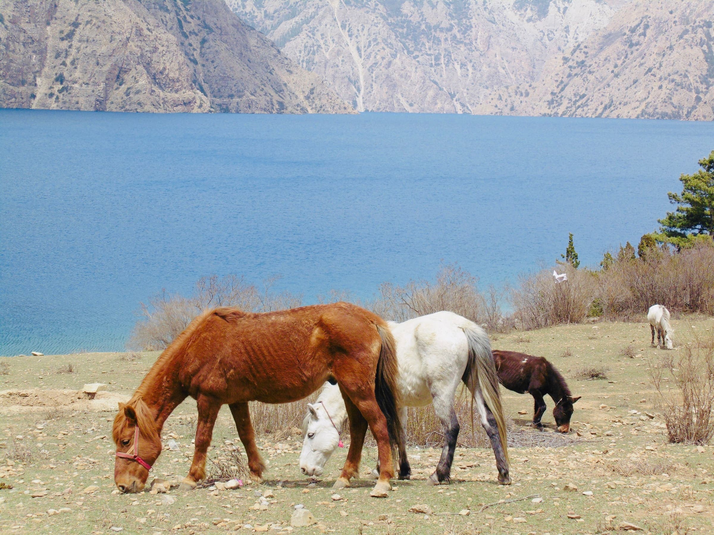
Langtang
North of Kathmandu: Langtang Valley, Helambu, and Gosaikunda — Langtang National Park teahouse country, not a merged super-trek.
Southern Asia
Dolpo
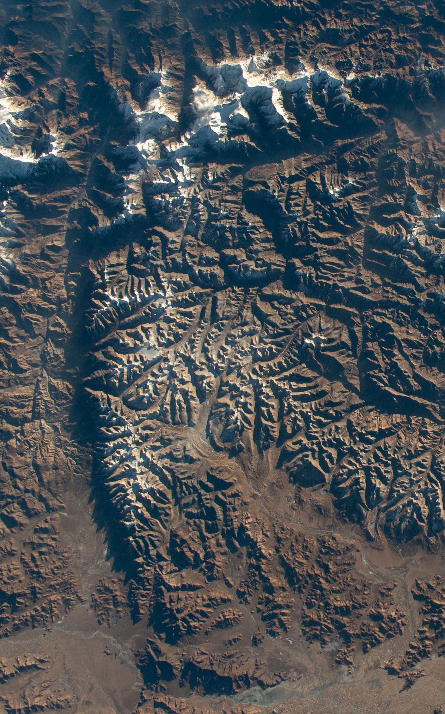
Trans-Himalayan rain-shadow west of Dhaulagiri — Upper Dolpo restricted-area walking through Shey-Phoksundo, not the 2.5 km Lower Dolpo OSM stub.
Southern Asia
Mustang
Rain-shadow north of the Annapurna massif — restricted-area walking from Jomsom to Lo Manthang, the walled capital of the former Kingdom of Lo. Not the Annapurna Circuit.
Trails
24 records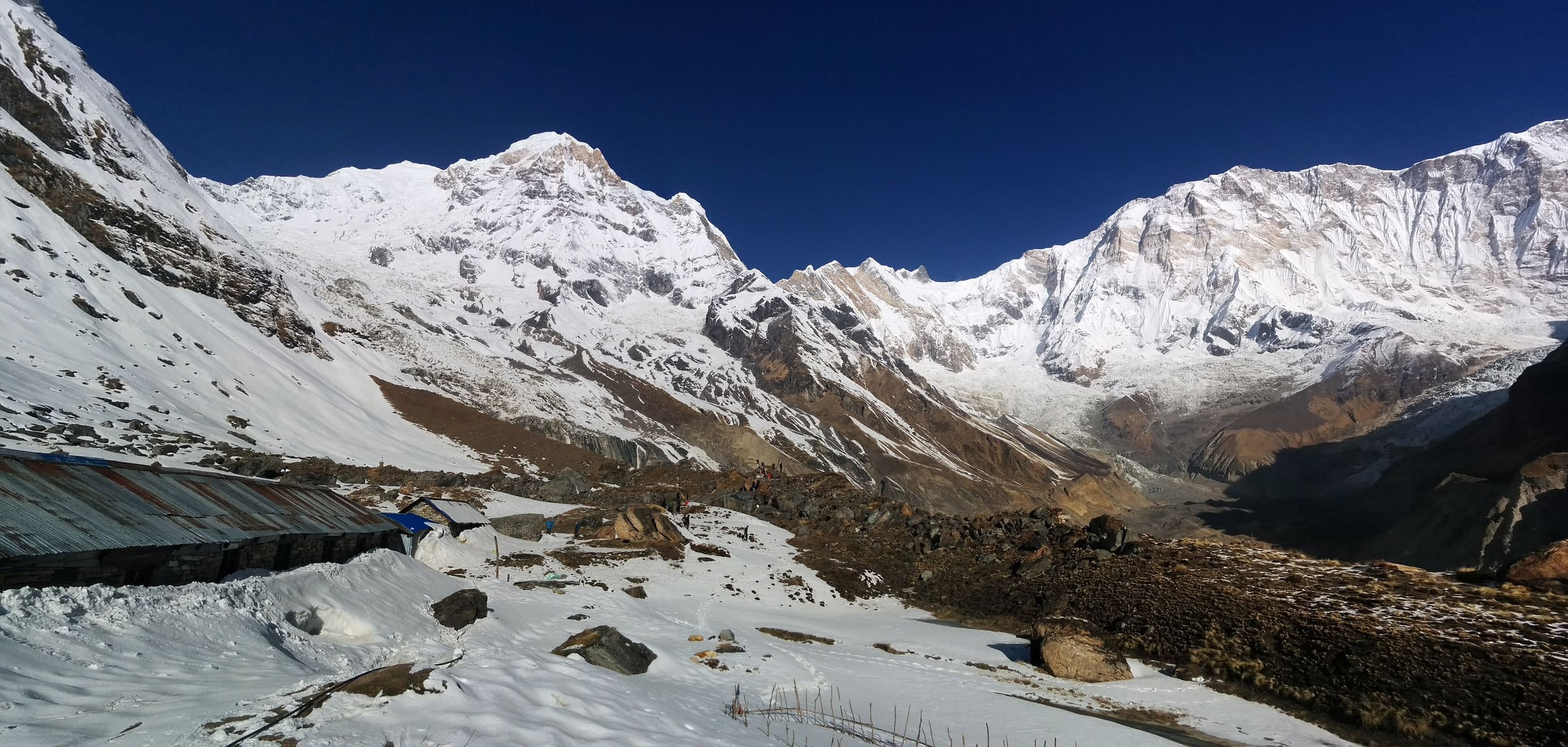
Distance 23.88 km Reported · Ascent provisional (DEM sample) · High point provisional (DEM sample) · 11d · SAC T4
Annapurna Base Camp
OSM hiking route Annapurna Base Camp, Nepal (23.88 km line). out-and-back; one-way 23.88 km, round-trip 47.77 km in prose. Permits are the headline (official NTB/NTNC 2026-09-21). Vertical figures from the Wave N GLO-30 resample.
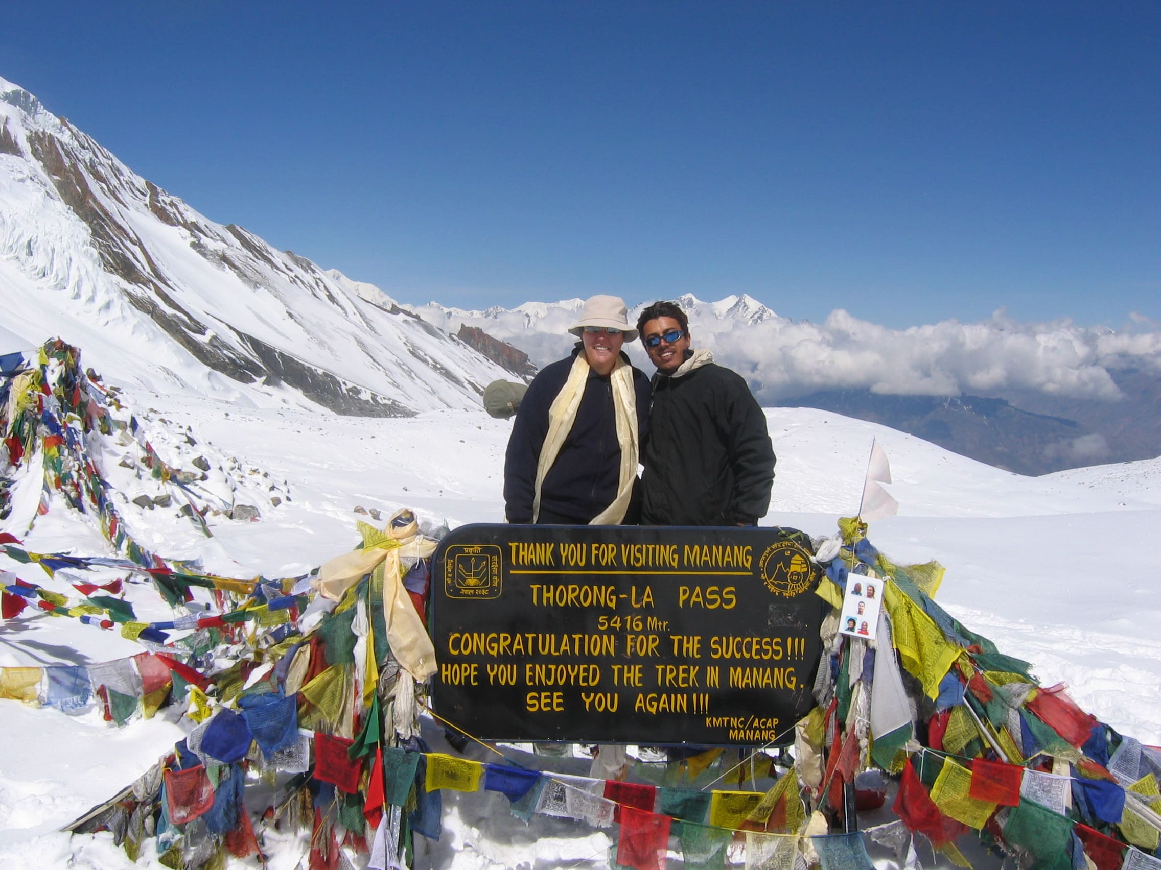
Distance 334.1 km Reported · High point provisional (DEM sample) · T3 · OSM route
Annapurna Circuit
Annapurna Circuit Trekking Route, permit required
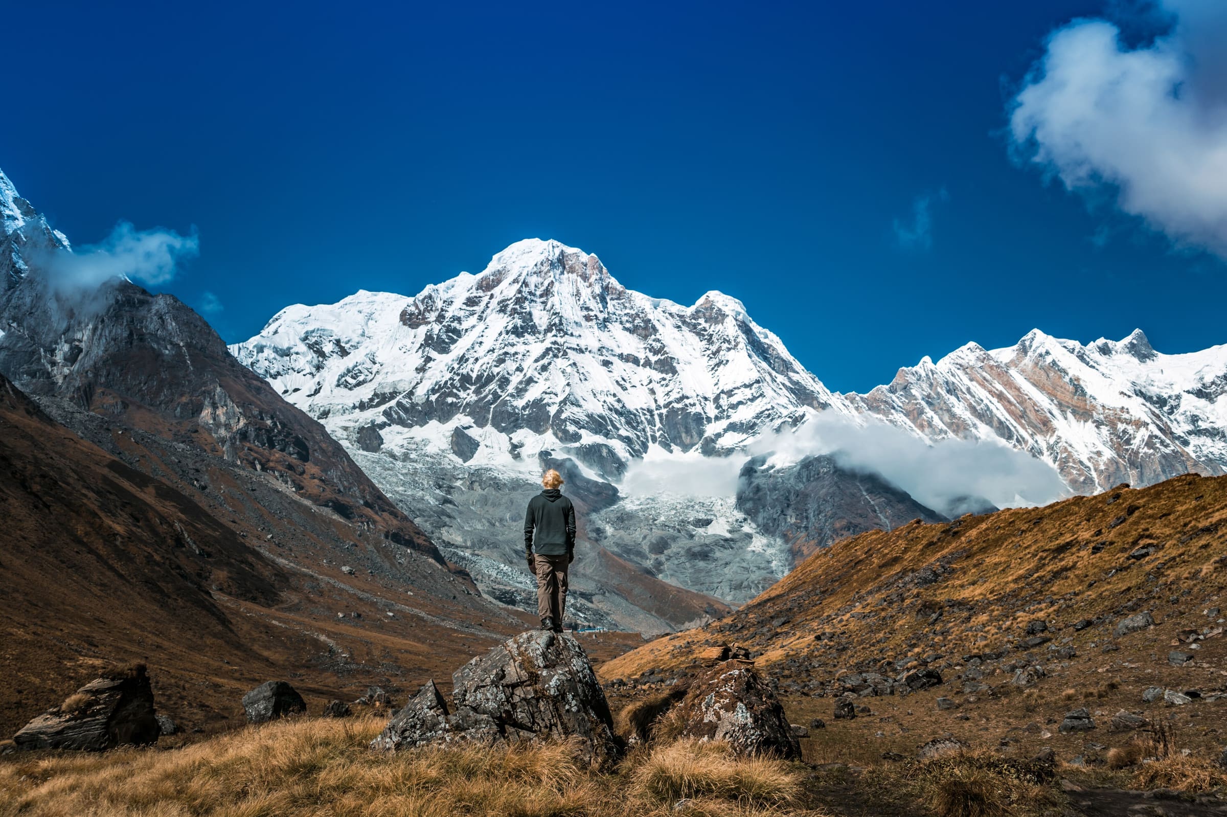
Distance 26.5 km Reported · High point provisional (DEM sample) · T2 · OSM route
Dudh Pokhari Lake
OSM hiking route in the Annapurna region (26.5 km line). Vertical figures sampled from Copernicus GLO-30.
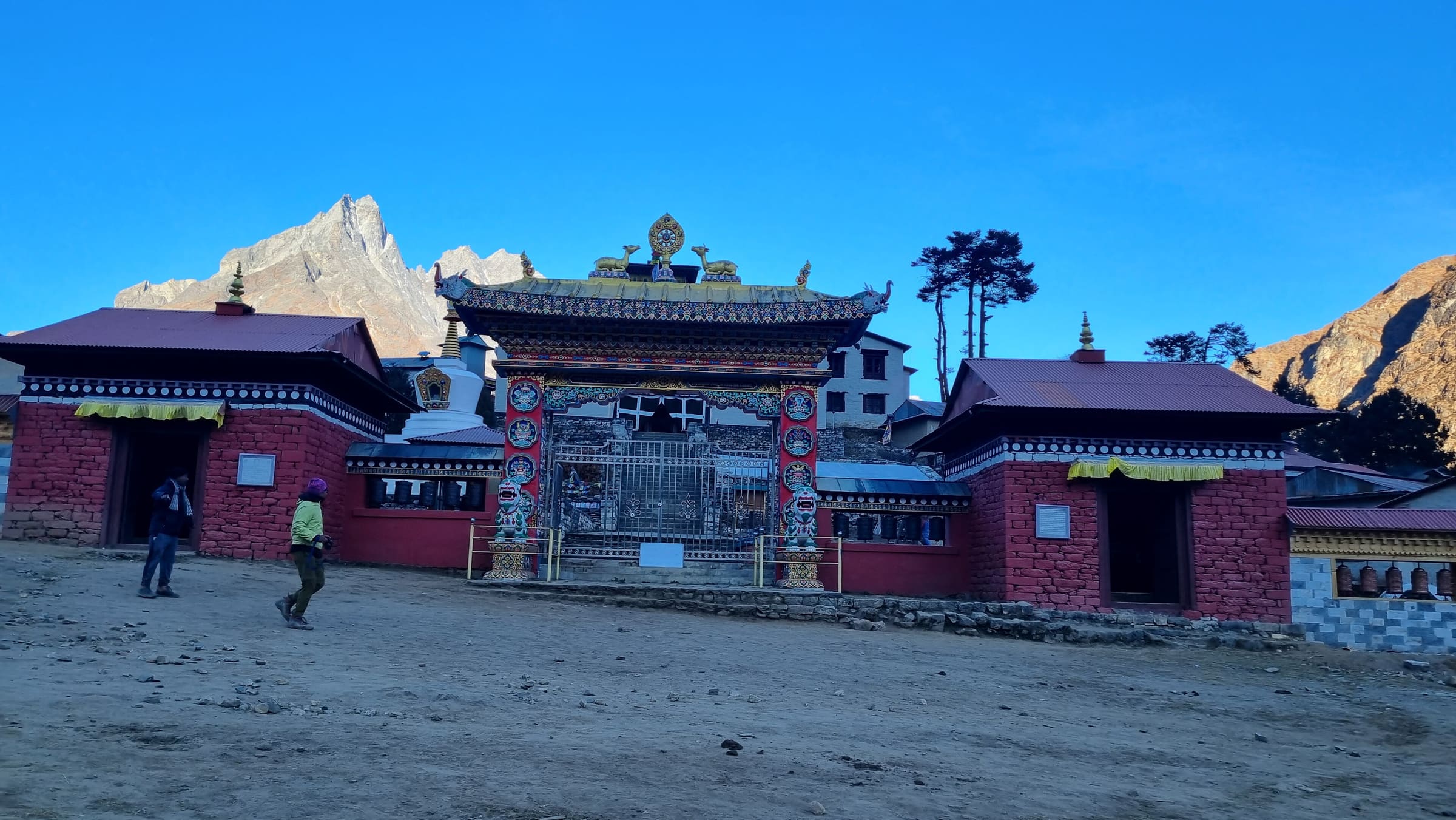
Distance 53.72 km Reported · Ascent provisional (DEM sample) · High point provisional (DEM sample) · 12d · SAC T2
Everest Base Camp
OSM hiking route Everest Base Camp, Nepal (53.72 km line). out-and-back; one-way 53.72 km, round-trip 107.44 km in prose. Permits are the headline (official NTB/NTNC 2026-09-21). Vertical figures from the Wave N GLO-30 resample.
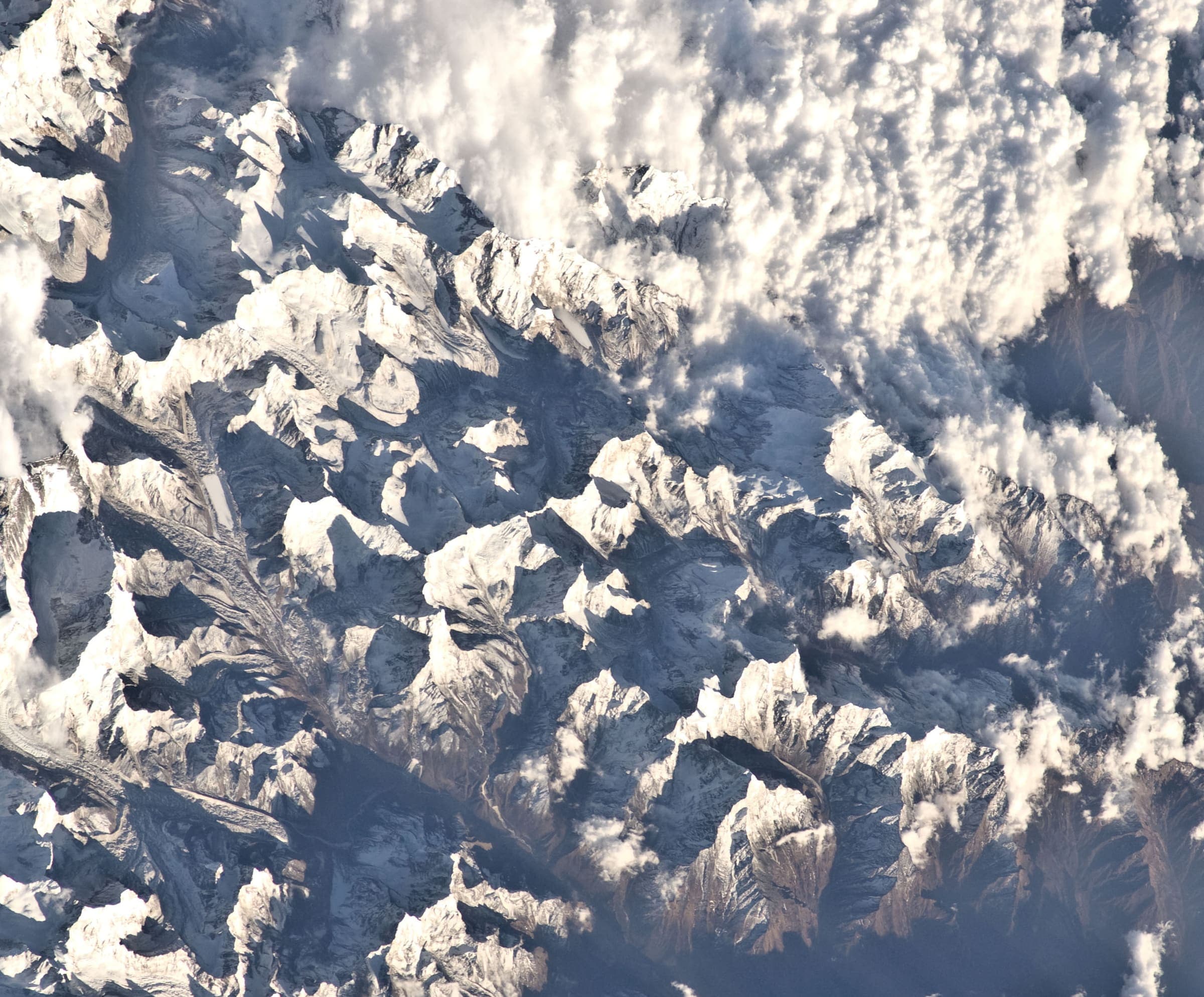
Distance 99.22 km Reported · Ascent provisional (DEM sample) · High point provisional (DEM sample) · 18d · SAC T2
Everest Three Passes
OSM hiking route Everest Three Passes, Nepal (99.22 km line). Permits are the headline (official NTB/NTNC 2026-09-21). Vertical figures from the Wave N GLO-30 resample.
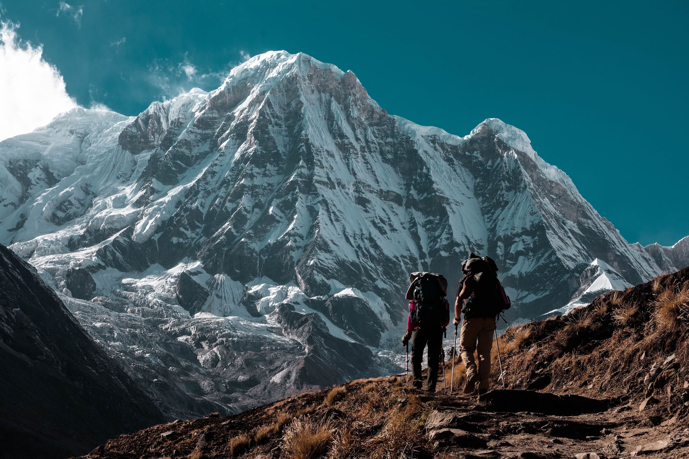
Distance 5.1 km Reported · Ascent provisional (DEM sample) · High point provisional (DEM sample) · 1d · SAC T2
Ice Lake Trek
OSM hiking route in the Annapurna region (5.1 km line). Vertical figures sampled from Copernicus GLO-30.
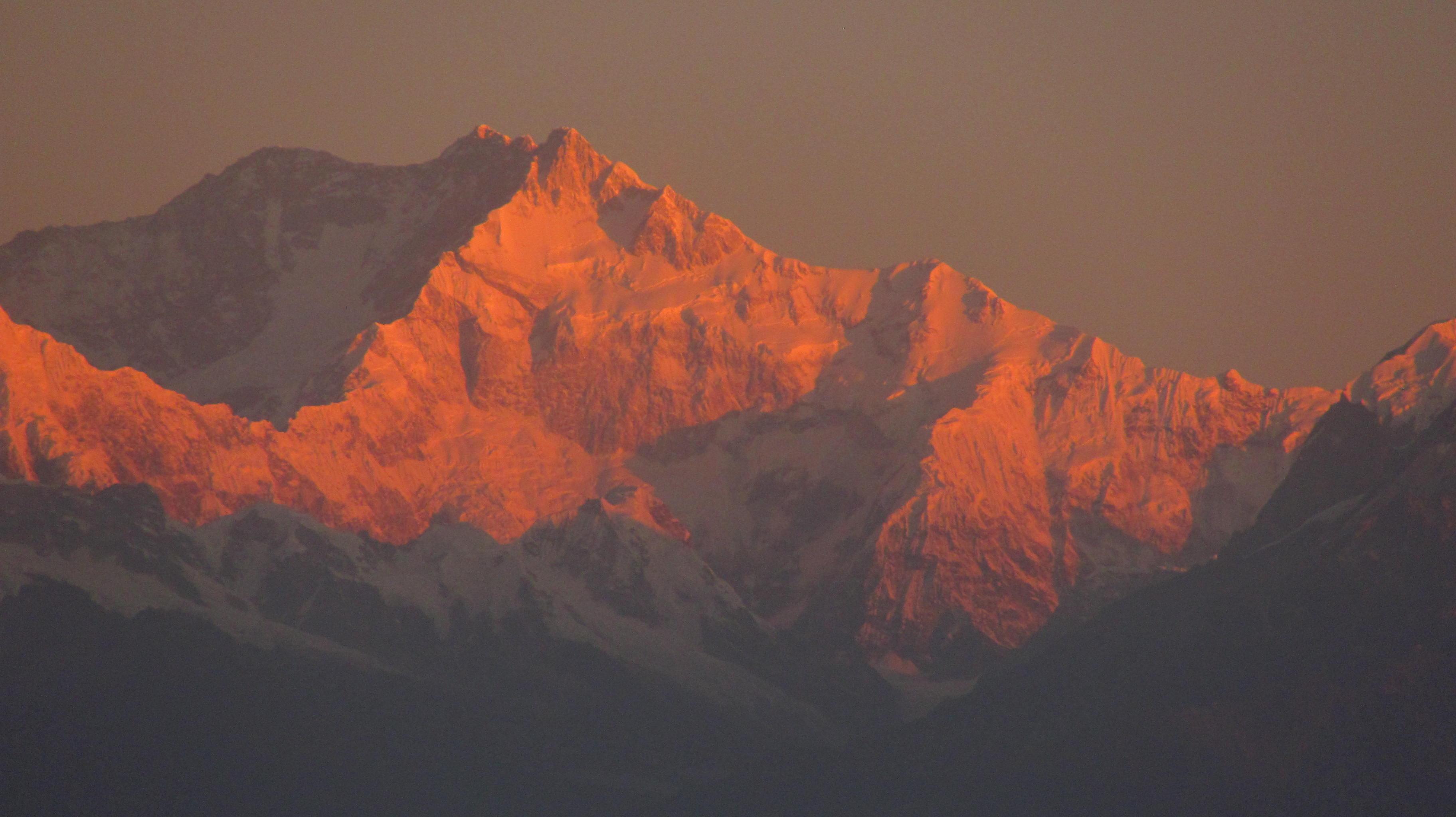
Distance 100.18 km Reported · Ascent provisional (DEM sample) · High point provisional (DEM sample) · 20d · SAC T3
Kangchenjunga Base Camp
OSM hiking route Kangchenjunga Base Camp, Nepal (100.18 km line). out-and-back; one-way 100.18 km, round-trip 200.36 km in prose. Permits are the headline (official NTB/NTNC 2026-09-21). Vertical figures from the Wave N GLO-30 resample.
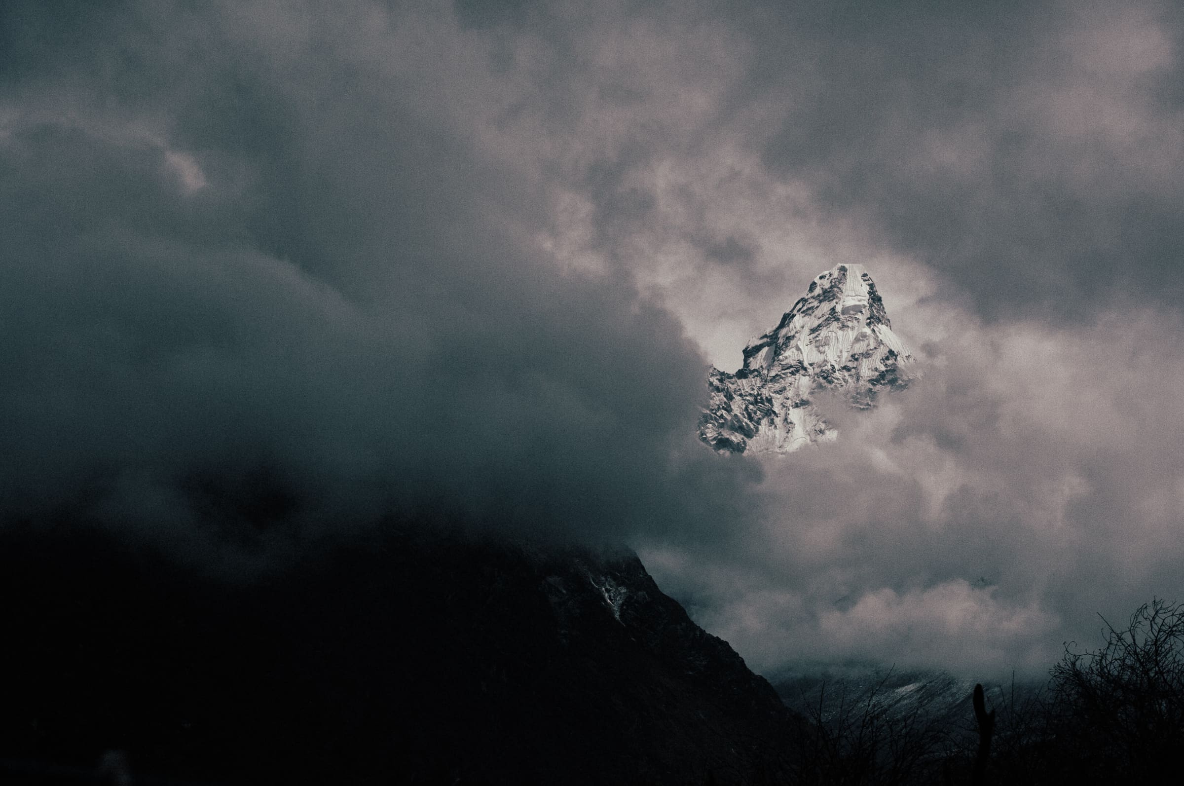
Distance 10.5 km Reported · Ascent provisional (DEM sample) · High point provisional (DEM sample) · T2 · OSM route
Kapuche Glacier Lake
OSM hiking route in the Annapurna region (10.5 km line). Vertical figures sampled from Copernicus GLO-30.
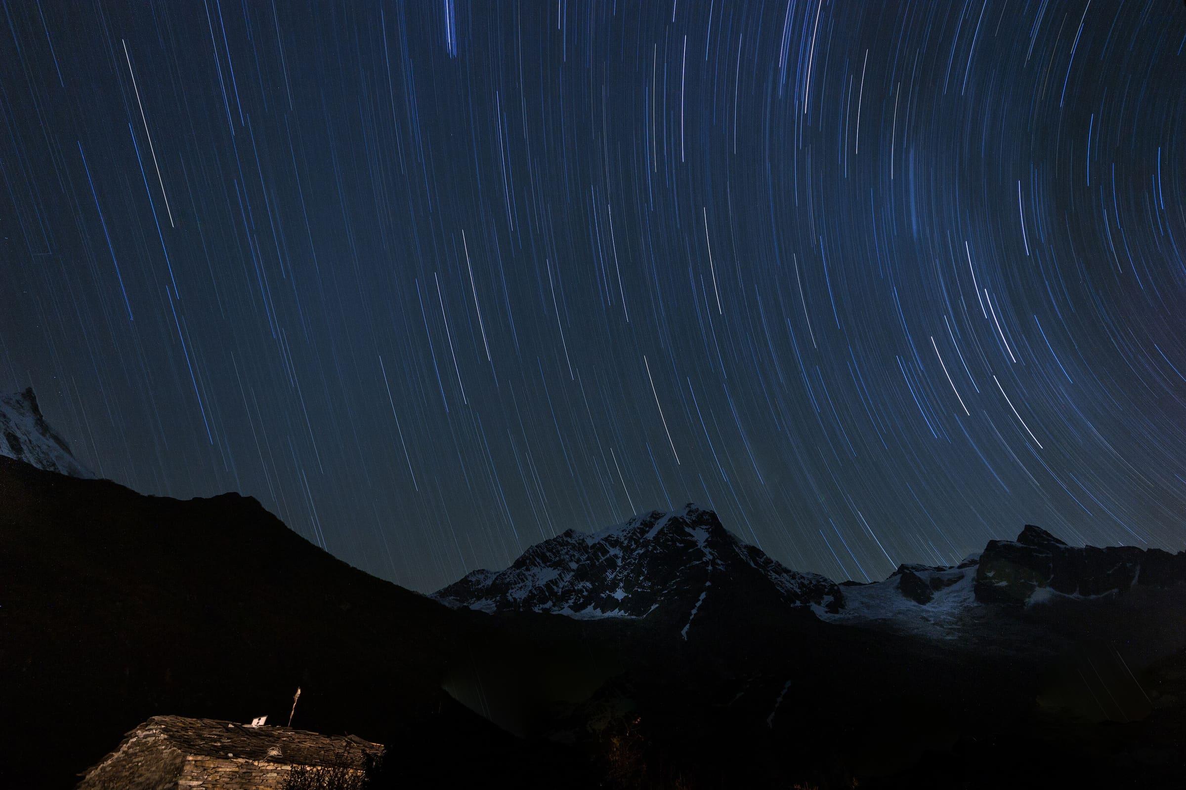
Distance 118.52 km Reported · Ascent provisional (DEM sample) · High point provisional (DEM sample) · 14d · SAC T3
Manaslu Circuit
OSM hiking route Manaslu Circuit, Nepal (118.52 km line). Permits are the headline (official NTB/NTNC 2026-09-21). Vertical figures from the Wave N GLO-30 resample.
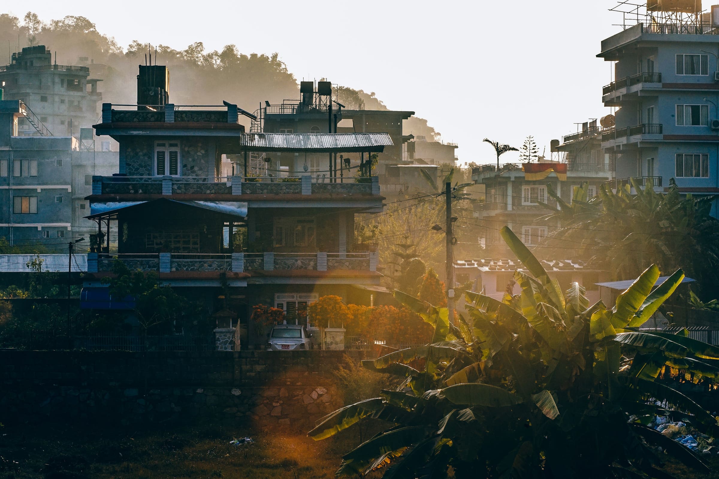
Distance 30.09 km Reported · High point provisional (DEM sample) · T2 · OSM route
Mardi Himal trek
OSM hiking route in the Annapurna region (36.2 km line). The tail slug mardi-himal-base-camp-trail (2.9 km, unverified permit) was retired; its permit row was not copied. Vertical figures sampled from Copernicus GLO-30.
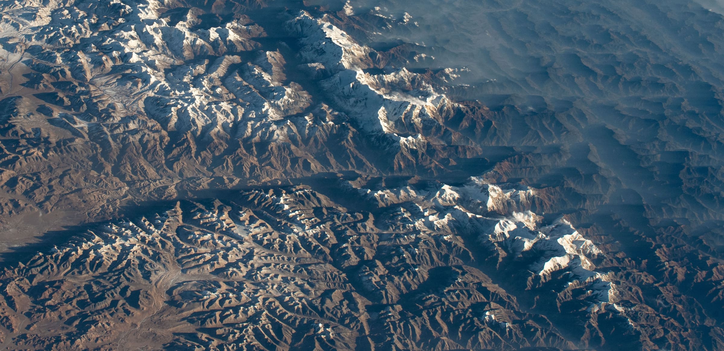
Distance 25.9 km Reported · High point provisional (DEM sample) · T2 · OSM route
Miristi Khola
OSM hiking route in the Annapurna region (25.9 km line). Vertical figures sampled from Copernicus GLO-30.
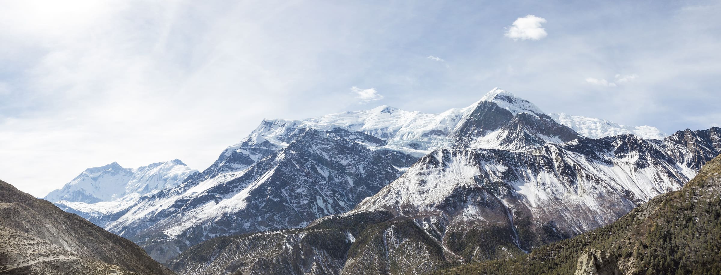
Distance 52 km Reported · High point provisional (DEM sample) · T2 · OSM route
Naar to Tange
OSM hiking route in the Annapurna region (52 km line). Vertical figures sampled from Copernicus GLO-30.
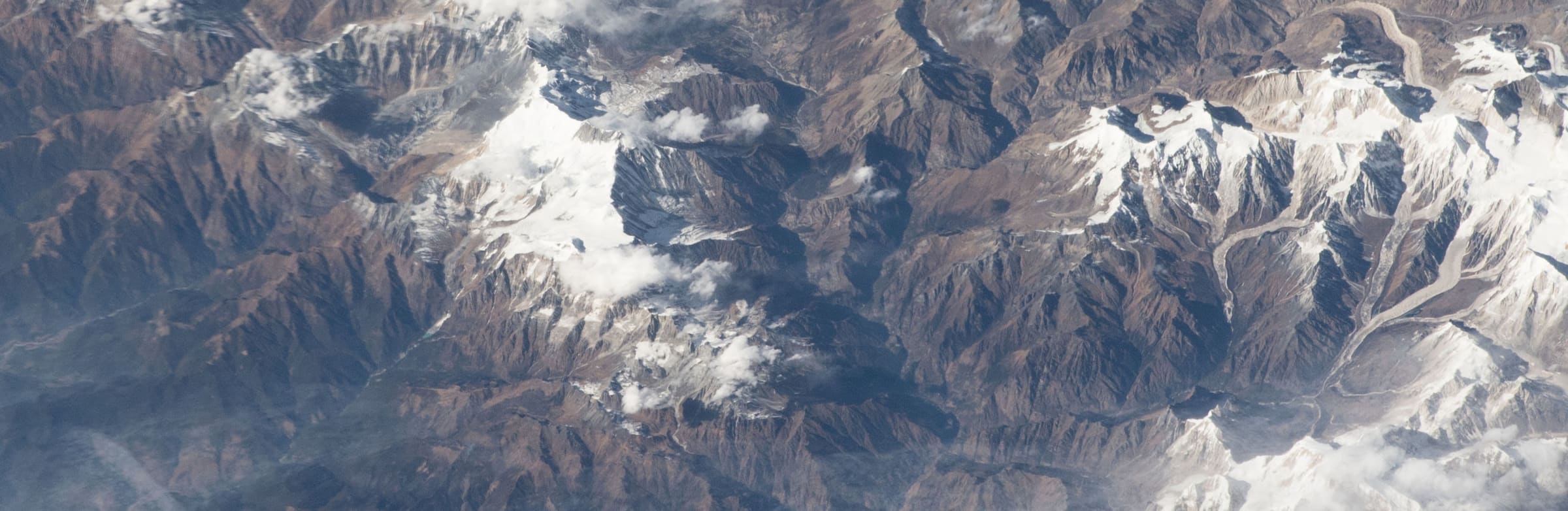
Distance 64.26 km Reported · High point provisional (DEM sample) · 6d · SAC T2
Naar-Phu trek
OSM hiking route in the Annapurna region (69.8 km line). Vertical figures sampled from Copernicus GLO-30.
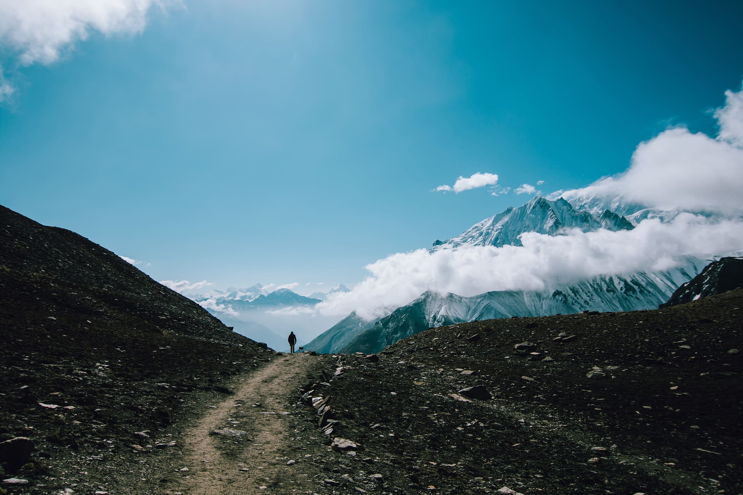
Distance 64.5 km Reported · High point provisional (DEM sample) · T2 · OSM route
Tilicho Trek
OSM hiking route in the Annapurna region (64.5 km line). Vertical figures sampled from Copernicus GLO-30.
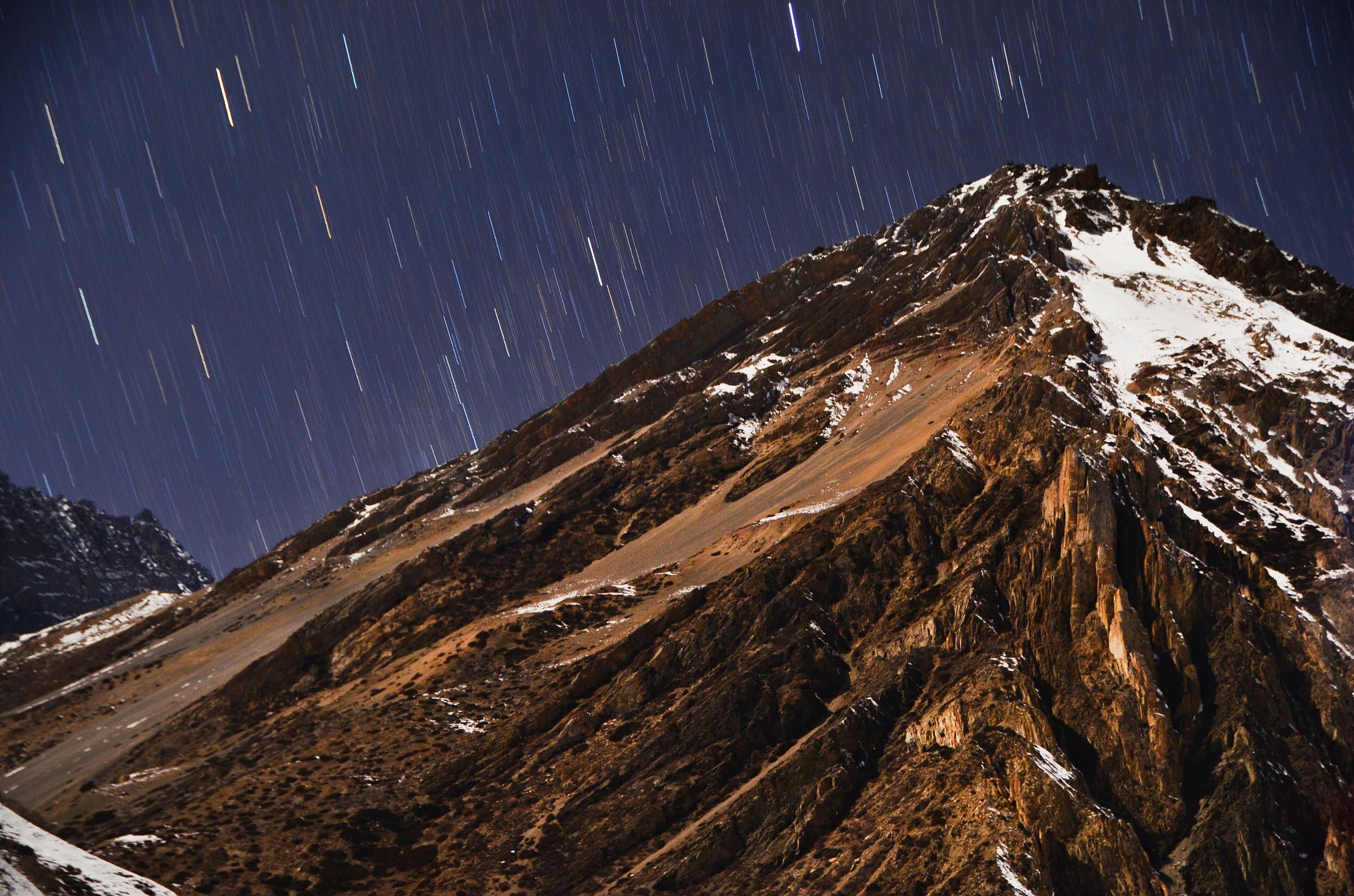
Distance 30.6 km Reported · High point provisional (DEM sample) · T2 · OSM route
Tiuche Lake
OSM hiking route in the Annapurna region (30.6 km line). Vertical figures sampled from Copernicus GLO-30.
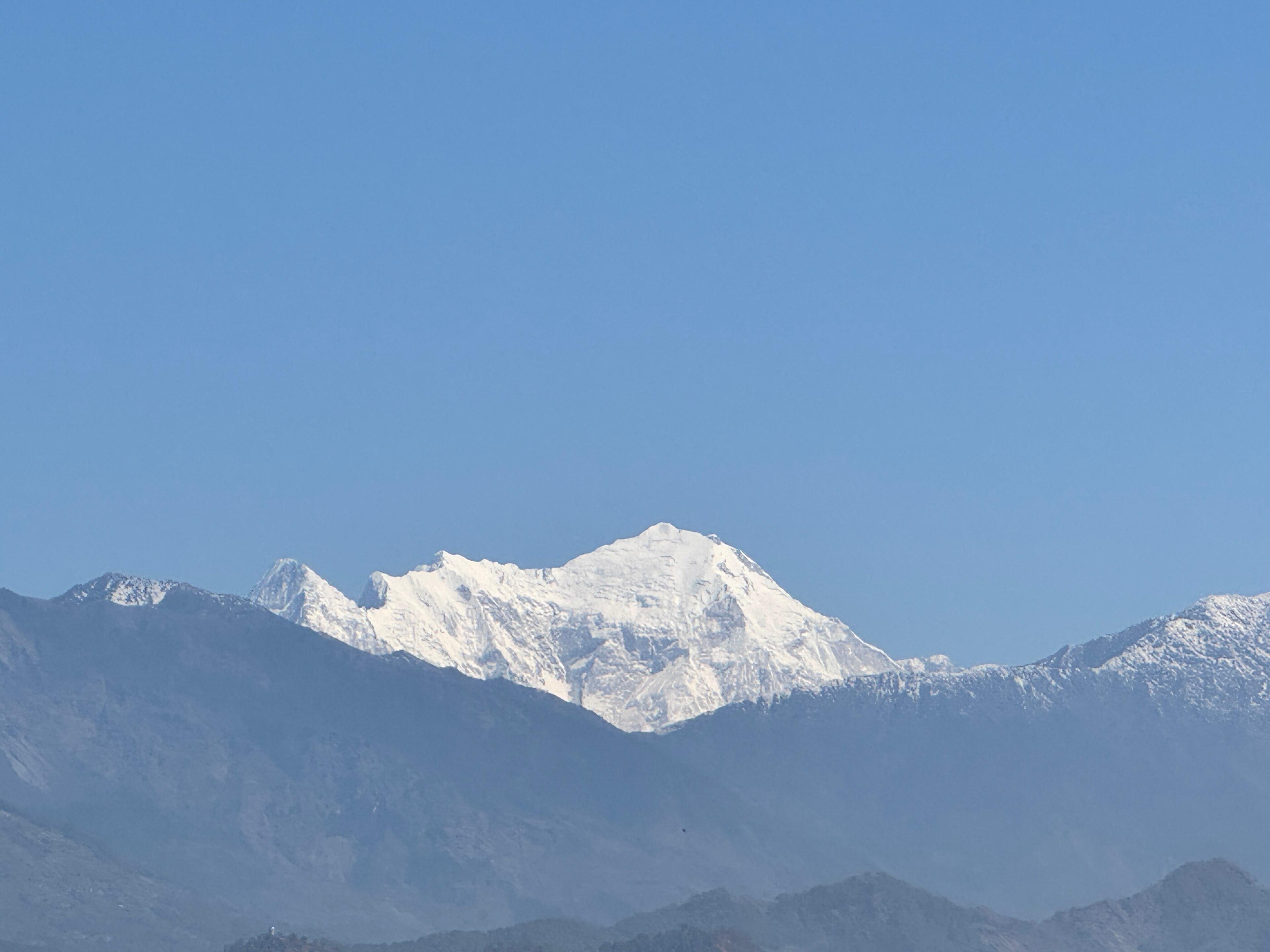
Distance 30.97 km Reported · Ascent provisional (DEM sample) · High point provisional (DEM sample) · 8d · SAC T2
Langtang Valley
OSM hiking route Langtang Valley, Nepal (30.97 km line). out-and-back; one-way 30.97 km, round-trip 61.95 km in prose. Permits are the headline (official NTB/NTNC 2026-09-21). Vertical figures from the Wave N GLO-30 resample.
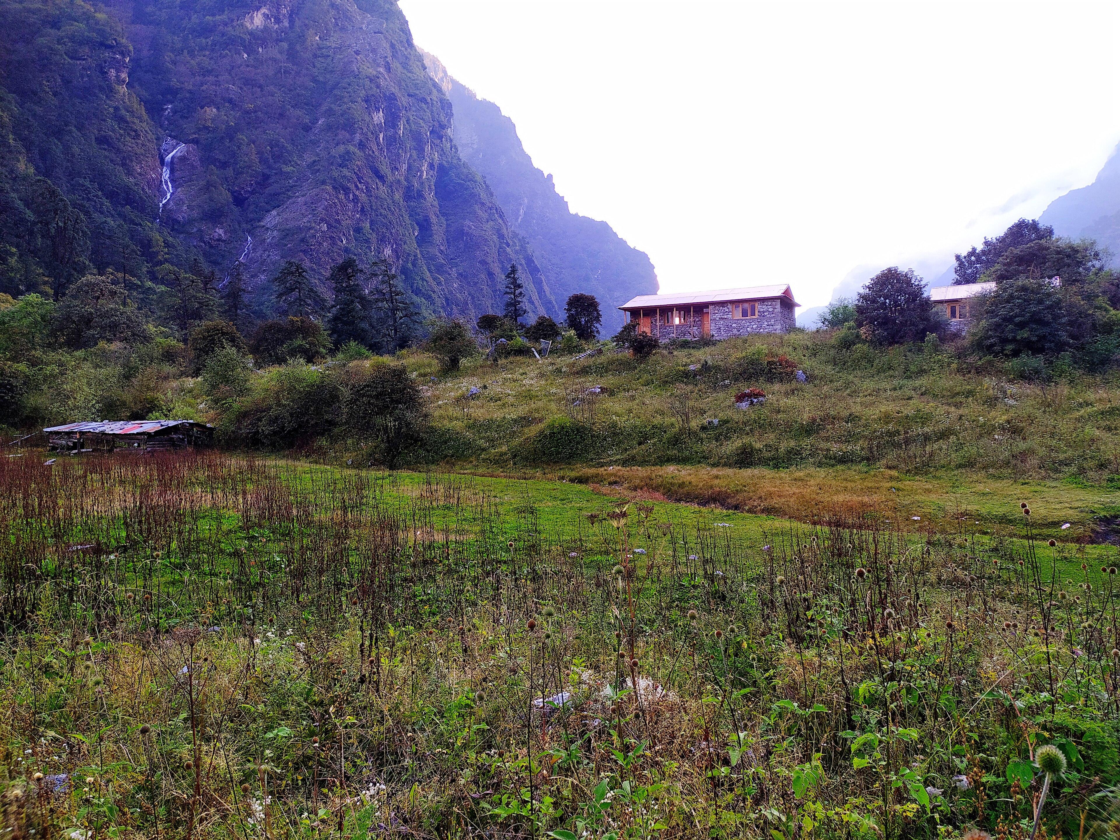
Distance 43.41 km Reported · Ascent provisional (DEM sample) · High point provisional (DEM sample) · 6d · SAC T2
Helambu
OSM hiking route Helambu, Nepal (43.41 km line). Permits are the headline (official NTB/NTNC 2026-09-21). Vertical figures from the Wave N GLO-30 resample.
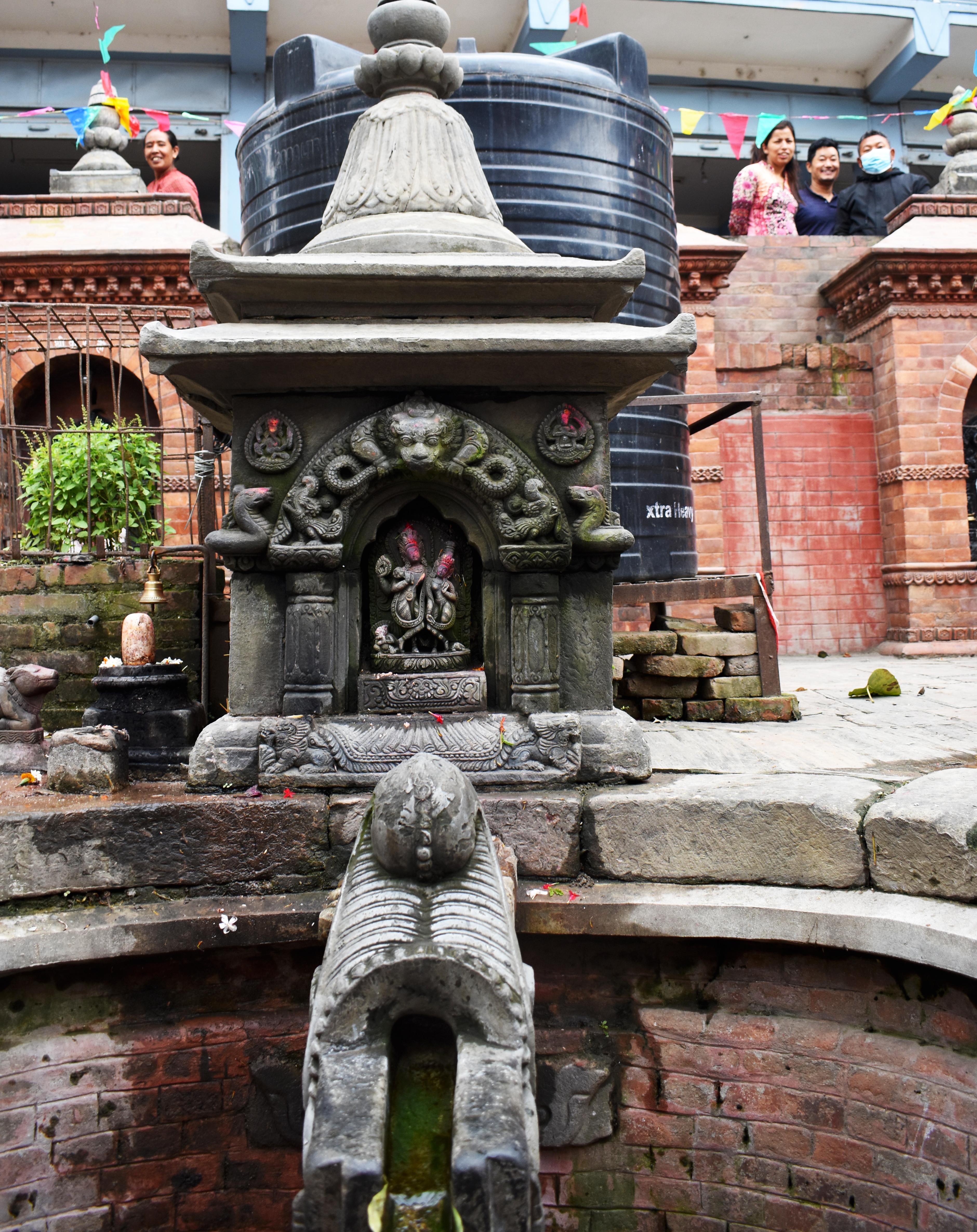
Distance 19.99 km Reported · Ascent provisional (DEM sample) · High point provisional (DEM sample) · 18d · SAC T3
Makalu Base Camp
OSM hiking route to Makalu Base Camp, Nepal (19.99 km line). Out-and-back; one-way 19.99 km, round-trip 39.97 km in prose. Not the Arun-valley variant and not Makalu the summit. typicalDays 18 is the published 17–18 day window for the longer Num itinerary (typical, not a statute) — that window is not implied by this OSM figure.
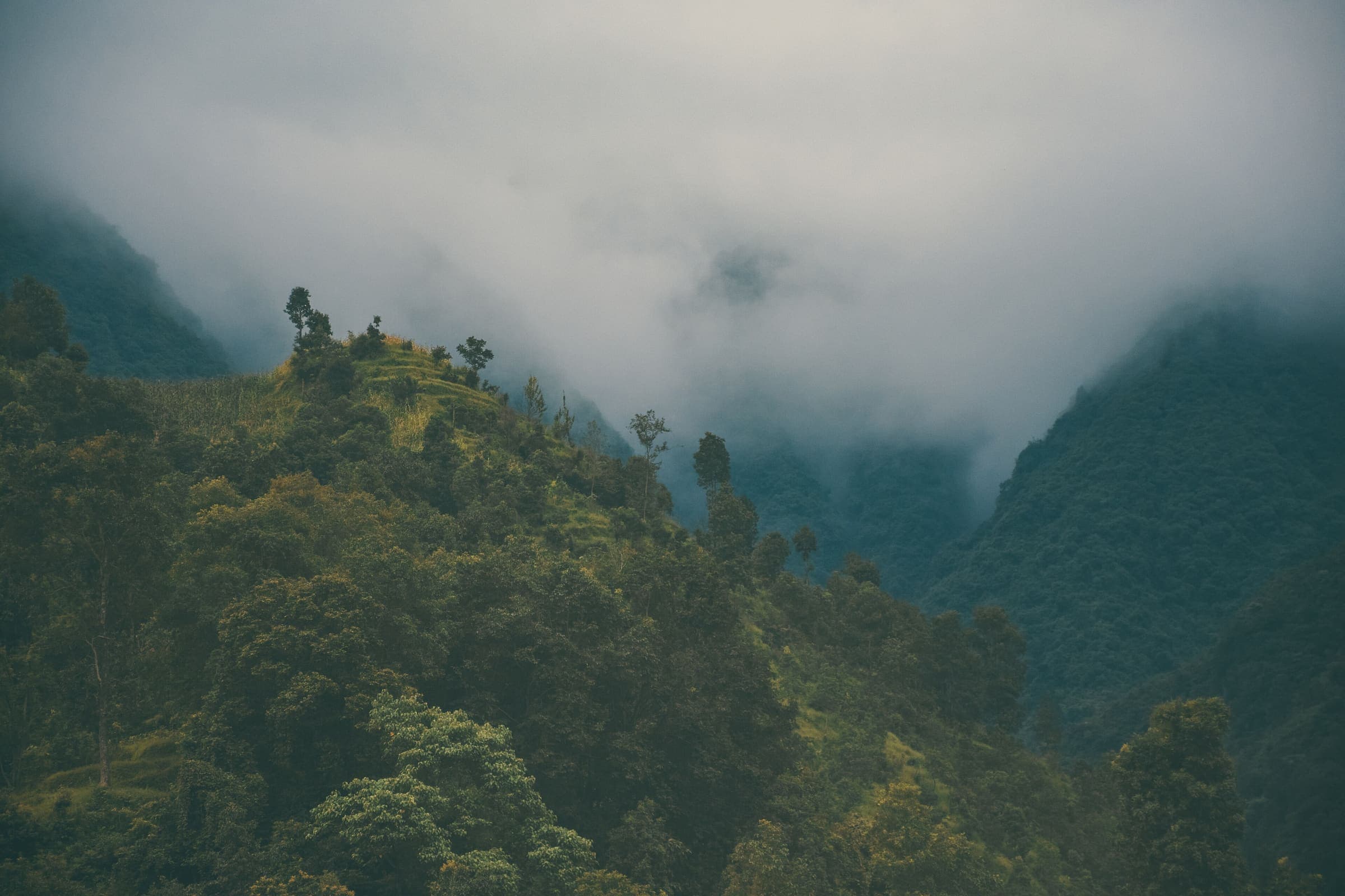
Distance 38.11 km Reported · Ascent provisional (DEM sample) · High point provisional (DEM sample) · 12d · SAC T3
Tsum Valley
OSM hiking route Tsum Valley, Nepal (38.11 km line). out-and-back; one-way 38.11 km, round-trip 76.21 km in prose. Permits are the headline (official NTB/NTNC 2026-09-21). Vertical figures from the Wave N GLO-30 resample.
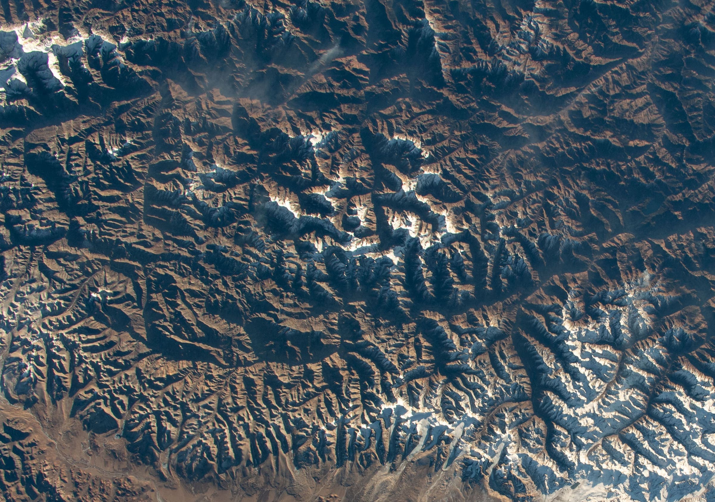
Distance 209.31 km Reported · Ascent provisional (DEM sample) · High point provisional (DEM sample) · 24d · SAC T3
Upper Dolpo
OSM hiking route Upper Dolpo, Nepal (209.31 km line). Permits are the headline (official NTB/NTNC 2026-09-21). Vertical figures from the Wave N GLO-30 resample.

Distance 38.69 km Reported · Ascent provisional (DEM sample) · High point provisional (DEM sample) · 7d · SAC T2
GosainKunda Trek
OSM hiking route GosainKunda Trek, Nepal (38.69 km line). Permits are the headline (official NTB/NTNC 2026-09-21). Vertical figures from the Wave N GLO-30 resample.
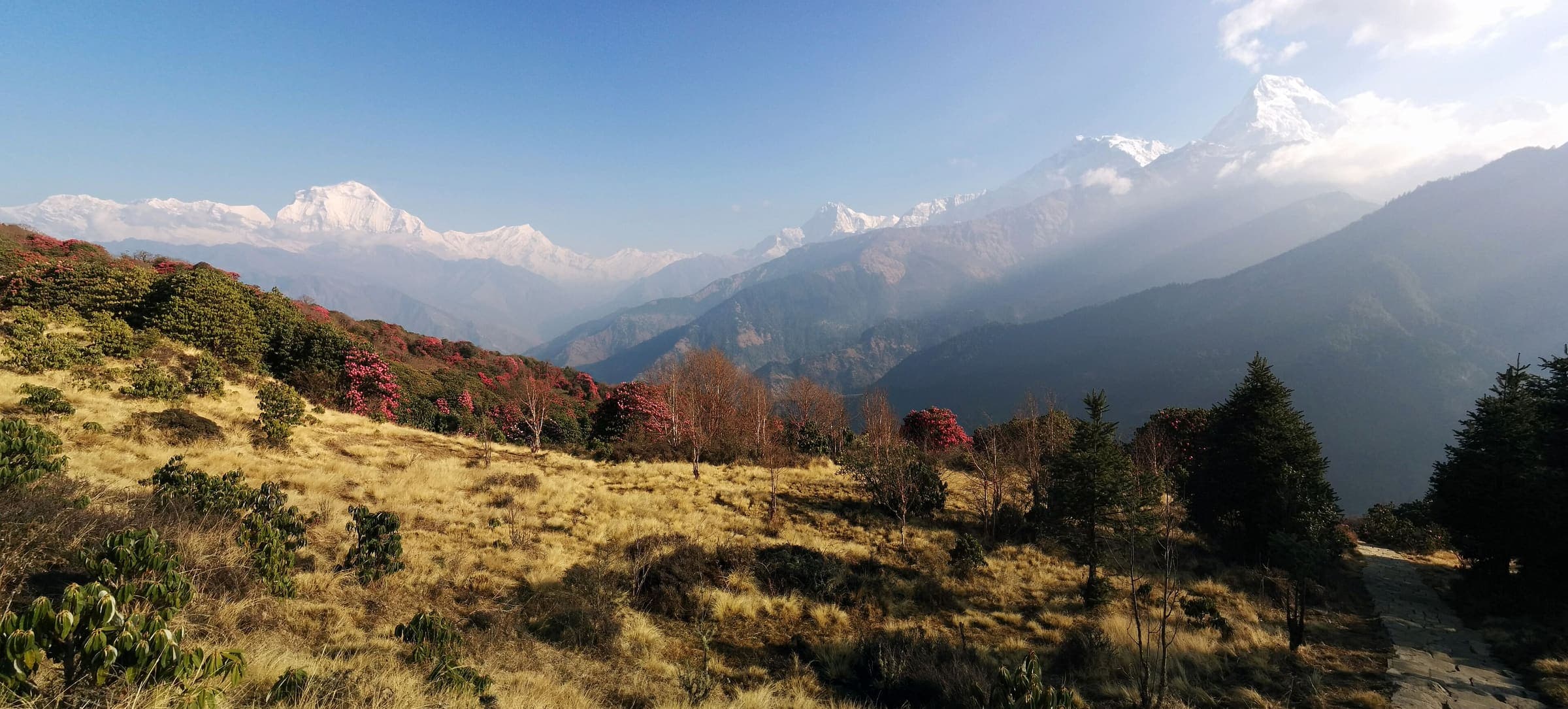
Distance 45 km Reported · High point Reported · T2 · schematic
Ghorepani Poon Hill
Curated schematic — not walking distance. Pin-to-pin OSM named-waypoint loop Nayapul → Ghorepani → Poon Hill → Ghandruk → Nayapul. Cited itinerary ~45 km (provisional, secondary). Permits are the headline (official NTNC/NTB 2026-09-21). High 3,210 m is the Poon Hill landmark.
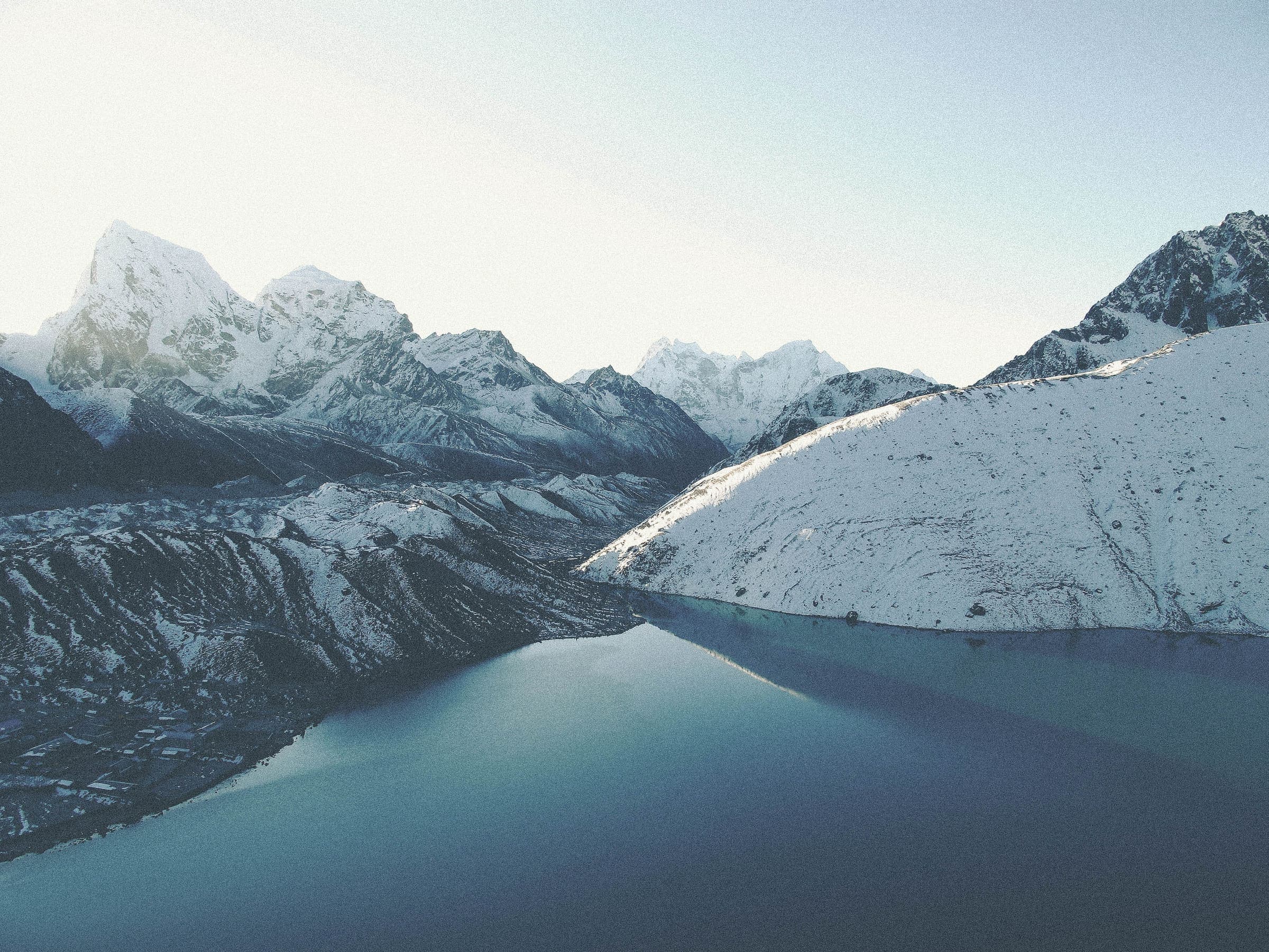
Distance 92 km Reported · High point Reported · T2 · schematic
Gokyo Lakes
Curated schematic — not walking distance. Pin-to-pin OSM named-waypoint line Lukla → Namche → Gokyo → Gokyo Ri. Cited itinerary ~92 km round from Lukla (provisional, secondary). Permits are the headline (official NTB 2026-09-21). High 5,357 m is the Gokyo Ri landmark.
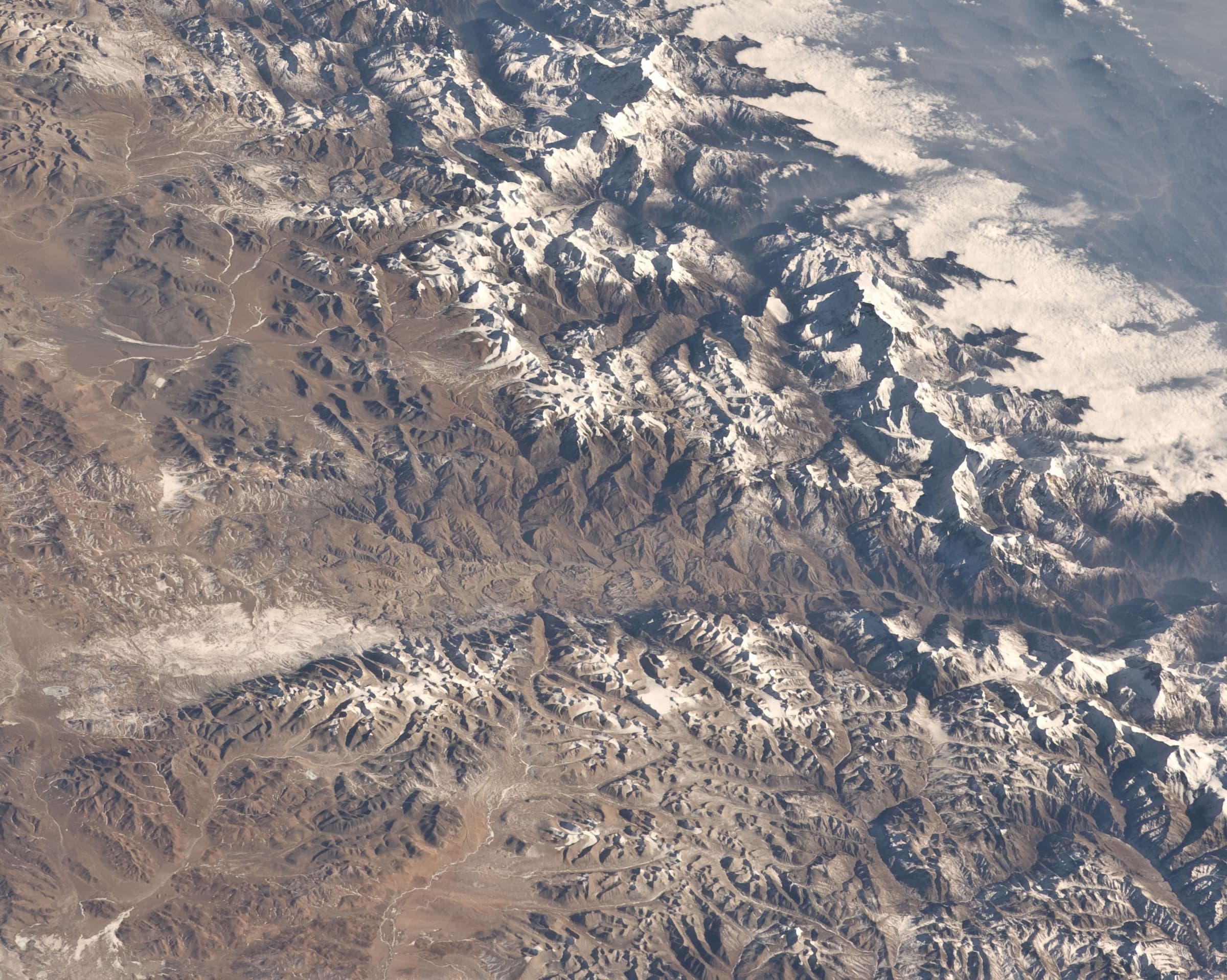
Distance 120 km Reported · High point Reported · T2 · schematic
Upper Mustang
Curated schematic — not walking distance. Pin-to-pin OSM named-waypoint line Jomsom → Lo Manthang. Cited itinerary ~120 km round from Jomsom (provisional, secondary). Restricted-area RAP + ACAP (official NTB/Immigration 2026-09-21). High ~3,950 m is the cited pass landmark.