
Guide · India
Hiking in India
79 verified trail records on 7 desks. Kilometres are the live DataPoints. Permits are official on 13 of those records; the rest stay Unverified. Sikkim is parked. This is not a route planner.
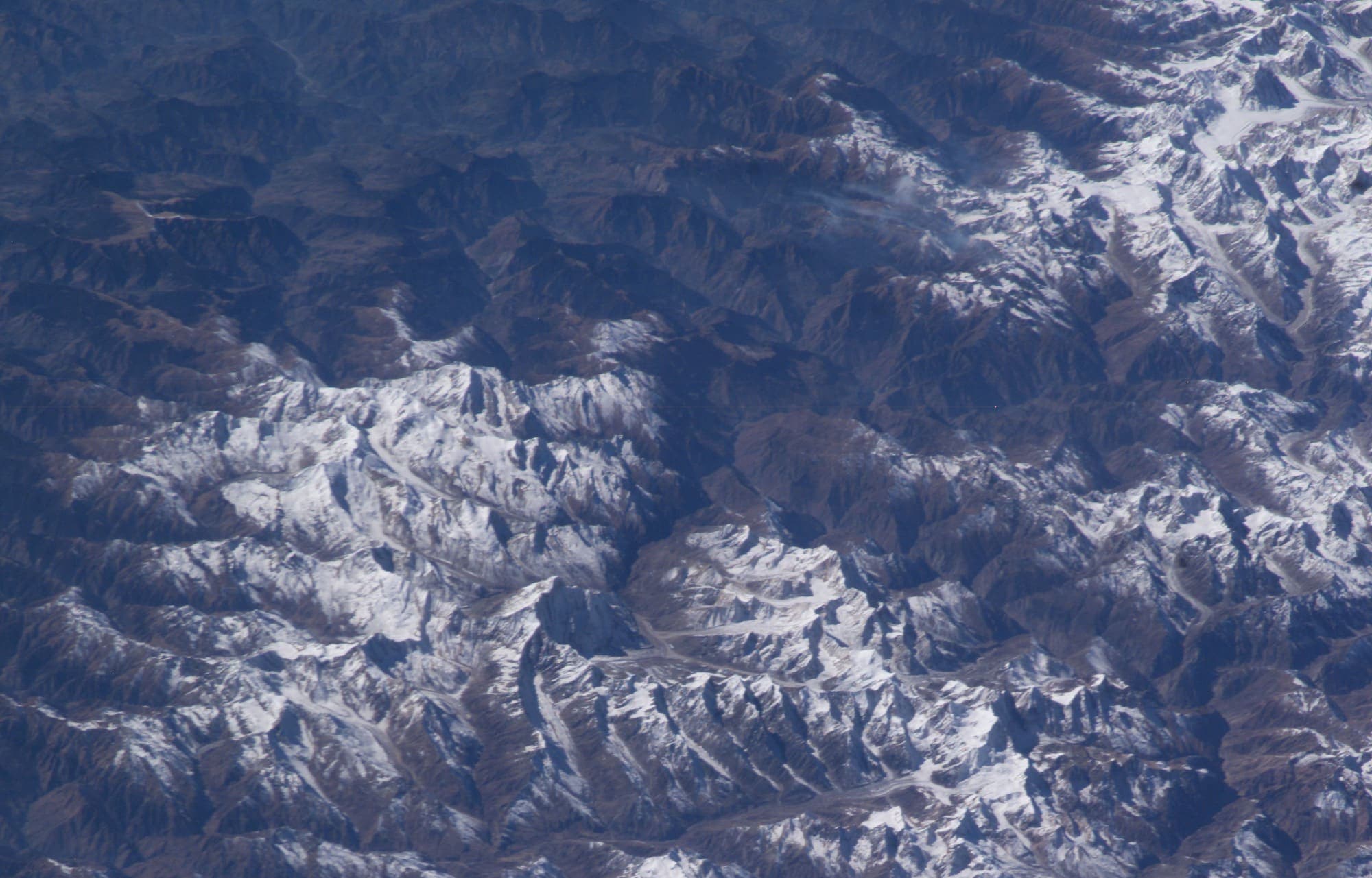
People searching “hiking in India,” “Kedarkantha permit,” or “Markha Valley Hemis fee” are not looking for a crowd-sourced GPS track. They need a sourced length, a named difficulty scale, and an honest permit line. The country index at India is the catalog. This page is the desk guide that groups those records and says what this encyclopedia will not invent. Method is on How we verify.
What this catalog actually holds
Five buildable verification waves are complete: Garhwal (Wave I-1), Himachal (Wave I-2), the Western Ghats (Wave I-4), and Ladakh / Jammu and Kashmir (Wave I-5). Wave I-3 Sikkim / Darjeeling is parked — OSM has almost no connected hiking relation, and Protected Area Permit rules are heavy. The Deccan Plateau around Hyderabad is a separate high-traffic, low-data desk of granite-dome fort climbs, not the Ghats.
Sample records, so the figures stay on the trail pages: Kedarkantha (14.43 km, Govind NP permit), Hampta Pass (25.11 km, permit Unverified), Kalsubai (published 13.2 km; OSM line is the partial Bari path), Kudremukh (8.45 km, Karnataka Forest permit), Markha Valley (64.52 km, Hemis NP fee), and Kashmir Great Lakes (61.52 km, J&K Tourism permit).
Permits, without a national ticket
India does not issue one walking permit for every trail. Agency listicles often paste “Ladakh PAP/ILP” onto Kishtwar or a Himachal–Jammu foothill line. This desk does not. Ladakh PAP/ILP wording stays on genuinely Ladakh records. Kishtwar’s Bhot Kol and Akshu La, and the Trans-Jammu Traverse, use the generic Unverified form: confirm the regional or inner-line requirement before travel. Officially sourced permits in this set include Govind NP, Hemis NP, J&K Tourism, Karnataka Forest, and a handful of Uttarakhand / Himachal park pages cited on those trail records. Fee amounts are not copied.
By desk
Membership is the live catalog, grouped by the region the record is filed to. A walk is not duplicated across desks.
Uttarakhand
Garhwal Himalaya — twelve Wave I-1 marquee records. Valley of Flowers and Hemkund Sahib share the Govindghat–Ghangaria stem and stay related, not merged. Kedarkantha, Gaumukh–Tapovan, Milam Glacier, Bali Pass, Roopkund, Pindari Glacier, Tungnath–Chandrashila, Dayara Bugyal, Brahmatal, and Khatling Glacier are separate pages.
- Bali Pass — 32.39 km (provisional)
- Benoli Gaon to Rudraprayag — 44.13 km (provisional)
- Brahmatal — 10.76 km (provisional)
- Dar to Sipu — 38.24 km (provisional)
- Dayara Bugyal — 28.34 km (provisional)
- Gaumukh Tapovan — 20.52 km (provisional)
- Ghat to Durmi — 34.52 km (provisional)
- Har Ki Dun — 25 km (schematic, not walking distance)
- Hemkund Sahib — 14.67 km (provisional)
- Kankul Pass Trail — 28.85 km (provisional)
- Kedarkantha — 14.43 km (provisional)
- Kharkiya to Kheta — 29.5 km (provisional)
- Khatling Glacier — 21.6 km (provisional)
- Mahargaon to Loharkhet — 33.23 km (provisional)
- Milam Glacier — 51.5 km (provisional)
- Narayn Bagar to Sera — 30.49 km (provisional)
- Pana to Joshimath — 32.98 km (provisional)
- Pindari Glacier — 20.52 km (provisional)
- Rali to Patwariyan — 32.58 km (provisional)
- Roopkund — 27.13 km (provisional)
- Sitel to Pana — 38.47 km (provisional)
- Taluka to Hanuman Chatti — 32.96 km (provisional)
- Thalisain to Gairsain — 32.91 km (provisional)
- Tungnath–Chandrashila — 4.08 km (provisional)
- Valley of Flowers — 17.73 km (provisional)
Himachal Pradesh
Western Himalaya — sixteen Wave I-2 marquee records plus eight provisional-listed traverses. Hampta Pass, Bhrigu Lake, Sar Pass, Rupin Pass (cross-state from Dhaula, Uttarakhand, filed here), Buran Ghati, Indrahar Pass, Chandrakhani Pass, Prashar Lake, Pin–Bhabha Pass, Pin Parvati Pass, Shrikhand Mahadev, Beas Kund, Kheerganga, Deo Tibba Base Camp, Triund, and Kareri Lake. Traverses: Kang La Trail, Larsa Way, Chandra Tal to Baralacha La, Kaliheni Pass, Lalung to Sarchu, Chaurasi Pass, Phangchi Galu, and Saluni to Baleesa.
- Beas Kund — 5.34 km (provisional)
- Bhrigu Lake — 8.29 km (provisional)
- Buran Ghati — 46.92 km (provisional)
- Chandra Tal to Baralacha La — 52.98 km (provisional)
- Chandrakhani Pass — 14.32 km (provisional)
- Chaurasi Pass — 43.62 km (provisional)
- Deo Tibba Base Camp — 29.3 km (provisional)
- Hampta Pass — 25.11 km (provisional)
- Indrahar Pass — 25.47 km (provisional)
- Kaliheni Pass — 51.77 km (provisional)
- Kang La Trail — 78.21 km (provisional)
- Kareri Lake — 6.04 km (provisional)
- Kheerganga — 8.58 km (provisional)
- Lalung to Sarchu — 49.49 km (provisional)
- Larsa Way — 60.07 km (provisional)
- Phangchi Galu — 42.29 km (provisional)
- Pin Parvati Pass — 79.42 km (provisional)
- Pin–Bhabha Pass — 49.35 km (provisional)
- Prashar Lake — 12.29 km (provisional)
- Rupin Pass — 38.55 km (provisional)
- Saluni to Baleesa — 58.9 km (provisional)
- Sar Pass — 33.19 km (provisional)
- Shrikhand Mahadev — 18.15 km (provisional)
- Triund — 10.08 km (provisional)
Maharashtra
Western Ghats / Sahyadri — Wave I-4 fort records. Rajgad, Torna, Sinhagad, Rajmachi, Vasota (Koyna Wildlife Sanctuary), Kalavantin Durg, Kalsubai (partial Bari line), plus Harishchandragad and Harihar Fort curated schematics. Not the Deccan Plateau Telangana desk.
- Harihar Fort — 1.1 km (schematic, not walking distance)
- Harishchandragad — 5.3 km (schematic, not walking distance)
- Kalavantin Durg — 5.07 km (provisional)
- Kalsubai — 13.2 km (provisional)
- Rajgad — 7.47 km (provisional)
- Rajmachi — 15.77 km (provisional)
- Sinhagad — 5.85 km (provisional)
- Torna — 6.06 km (provisional)
- Vasota — 11.85 km (provisional)
Karnataka
Western Ghats — three Wave I-4 records. Kudremukh and Kumara Parvatha need a Karnataka Forest permit; Skandagiri needs a Karnataka Ecotourism pass.
- Kudremukh — 8.45 km (provisional)
- Kumara Parvatha — 9.31 km (provisional)
- Skandagiri — 4.95 km (provisional)
Ladakh
High Trans-Himalayan desert — Wave I-5 marquee records and provisional-listed traverses. Markha Valley (Hemis NP fee), Kang Yatse approach (not the summit), Stok La, and Likir La (high pass NE of Likir, not the Sham Valley walk); Stok Kangri is a closed Mountain Guide, not a trail. Traverses: Stok to Tsomoriri, Pang to Tsomoriri (Rupshu), Sarchu to Pukthal Gompa, and Sko Koh valley lakes.
- Kang Yatse approach — 7.21 km (provisional)
- Likir La — 30.75 km (provisional)
- Markha Valley — 64.52 km (provisional)
- Pang to Tsomoriri — 97.99 km (provisional)
- Sarchu to Pukthal Gompa — 71.42 km (provisional)
- Sko Koh valley lakes — 33.63 km (provisional)
- Stok La — 14.47 km (provisional)
- Stok to Tsomoriri — 172.35 km (provisional)
Jammu and Kashmir
Kashmir Himalaya — Wave I-5 marquee records and provisional-listed traverses. Kashmir Great Lakes and Gangbal–Naranag share a way and stay related, not merged, plus Kolahoi Glacier (DEM high is the glacier walk, not Kolahoi Peak). Traverses: Bhot Kol and Akshu La (Kishtwar/Warwan, not Ladakh), and the Trans-Jammu Traverse (one nwn Chamba→Jammu corridor: ~120 km Himachal Chamera→Kadwah, ~156 km J&K Kaluni Gala→Panjar; provisional for a ~2 km Ramnagar–Resian mapping gap).
- Akshu La — 67.84 km (provisional)
- Bhot Kol — 71.17 km (provisional)
- Gangbal–Naranag — 11.9 km (provisional)
- Kashmir Great Lakes — 61.52 km (provisional)
- Kolahoi Glacier — 19.12 km (provisional)
- Trans-Jammu Traverse — 275.84 km (provisional)
Deccan Plateau (Telangana)
Granite-dome fort climbs and forest-hill day treks on the Deccan Plateau near Hyderabad — high weekend traffic, thin standardized data. Not the Western Ghats / Sahyadri.
- Bhongir Fort — 0.9 km (provisional)
- Khilla Ghanpur — 2 km (provisional)
- Koilkonda Fort — 0.1 km (provisional)
- Rachakonda Fort — 1.1 km (provisional)
Identity notes that change the search
Likir La is a high-pass crossing north-east of Likir, not the Sham Valley baby trek. DEM high 5,492 m is a real crest. The Sham Valley walk is a future record.
Trans-Jammu Traverse is one intended nwn Chamba→Jammu corridor (275.84 km), not a superroute of unrelated pages. It stays provisional for a ~2 km Ramnagar–Resian mapping gap. DEM high 2,776 m is mid-hill rollers, not an alpine pass. Stok Kangri is a closed Mountain Guide, not a trail — see Stok Kangri.
Altitude
Himalayan records in this set regularly sit above 4,000 m. The physiology notes on Himalayan altitude acclimatization apply; they do not invent a rest-day statute for any India line. Western Ghats records are a different climate and a different permit desk.
What is not listed
Sikkim’s Goecha La and the Northeast are not published this pass. Deleted OSM relations (Kalsubai’s old lines among them) were not ingested as fake geometry. Fort pins that are not walking distance are labelled schematic. This is not every trail in India. It is the verified set, labelled as such.
Also in this desk: India country index · How we verify · Himalayan altitude acclimatization · Where hiking ends · Stok Kangri (closed guide).
Questions
Do you need a permit to hike in India?
There is no single national walking permit. This catalog records an official permit only when an issuing page is cited (for example Hemis National Park on Markha Valley, J&K Tourism on Kashmir Great Lakes, Govind NP on Kedarkantha, Karnataka Forest on Kudremukh). Everything else is Unverified — confirm the regional or inner-line requirement before travel. Ladakh PAP/ILP wording is used only on genuinely Ladakh records, not on Kishtwar or Himachal–Jammu lines.
How many verified hiking trails in India are in this catalog?
79 sourced trail records across 7 desks. Distances are OpenStreetMap 2-D lines (provisional unless a cited itinerary exists). High and low points are Copernicus GLO-30. Sikkim and the Northeast are parked, not invented.
Is Likir La the Sham Valley trek?
No. Likir La (relation 17918710) is a high-pass / high-ridge crossing north-east of Likir village, DEM crest 5,492 m. The tourist Sham Valley walk (Likir–Yangthang–Hemis Shukpachan–Tingmosgang) is a different, unmapped-as-this-relation line and is not this record.
Is Stok Kangri a hiking trail?
No. Stok Kangri is published as a closed Mountain Guide (ALTOA / Stok village, environmental), not a trail. Do not treat the unpublished Stok Kangri approach relation as walking distance on this desk.