The Hiking World

Guide · Nepal · altitude

Managing high altitude

Acclimatization notes for four treks in Nepal that this catalog holds: Everest Base Camp Trek, Annapurna Circuit, Manaslu Circuit, and Annapurna Base Camp Trek. Altitude hazards stay public. This is not medical advice.

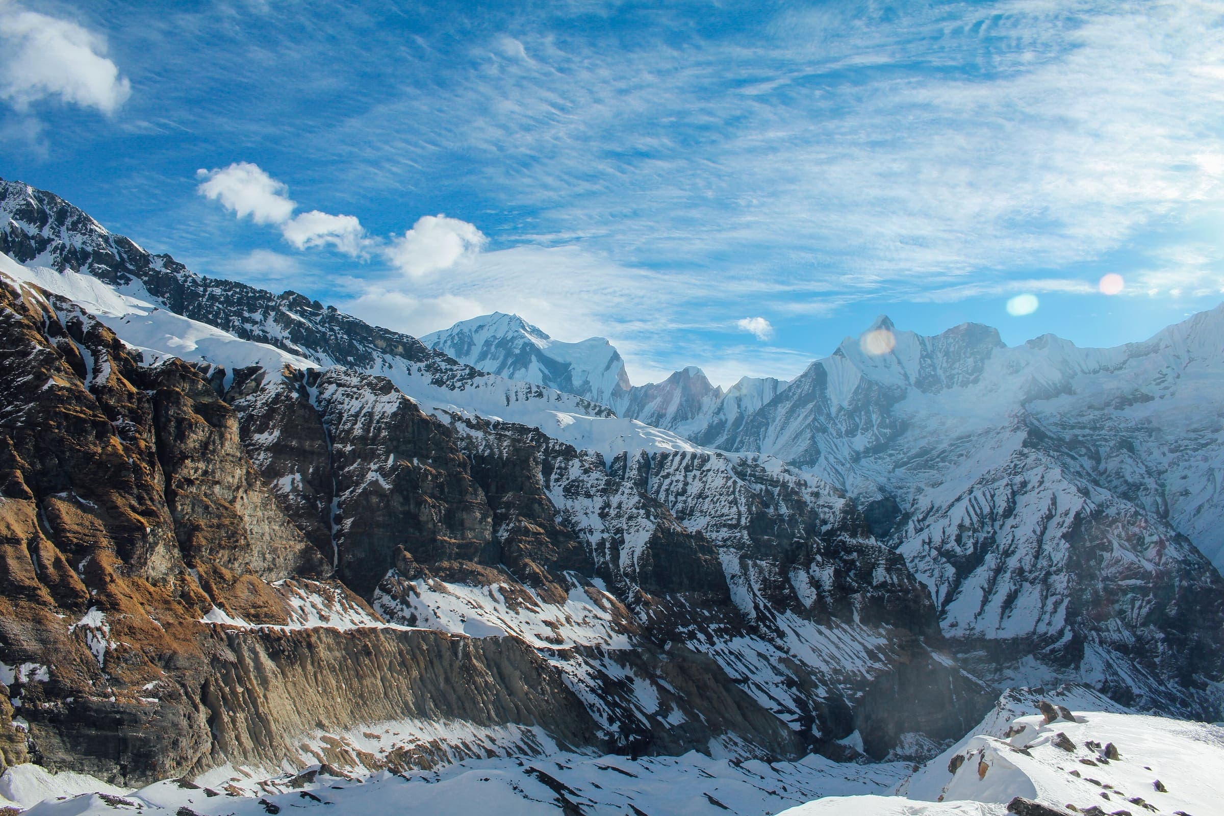
Annapurna Base Camp trekking route above Ghandruk, Nepal

Acute mountain sickness is the headline hazard on these records. Elevation figures below are DataPoints from each trail page — not a guarantee that you will or will not get ill. NHS guidance (checked 2026-08-25) treats altitudes usually above 2,500 m as the risk band and tells travellers to see a GP or travel clinic for personal advice. That is public-health information, not a desk diagnosis.nhs.uk · 2026-08-25

Elevation facts from the records

Everest Base Camp Trek high point: 5,292 m (copernicus-dem:glo-30; verified 2026-08-24). Length on this record is 42.9 km from a schematic village line — not a walking distance. The elevation samples are an 8-point GLO-30 sample of those pins, not a walking profile. typicalDays 13 is the recognised teahouse itinerary with acclimatisation, not an official park duration statute. Schematic vertices on the stored profile:

  • 0 km → 2,840 m
  • 6.1 km → 2,641 m
  • 13.4 km → 3,455 m
  • 19.7 km → 3,867 m
  • 28.7 km → 4,315 m
  • 35.3 km → 4,917 m
  • 39.4 km → 5,149 m
  • 42.9 km → 5,292 m

Annapurna Circuit is a mapped OpenStreetMap relation (relation 1187310), not a schematic village line. Length on this record is 334.1 km (osm:relation:1187310; verified 2026-08-20; provisional). High point DataPoint: 5,385 m (copernicus-dem:glo-30; verified 2026-08-20). The named pass on the record is Thorong La, cited at 5,416 m — a textbook acclimatization case. The DEM sample sits 31 m under that Wikipedia figure; the record leaves Copernicus in place rather than overwriting the DataPoint. The stored profile is a dense GLO-30 sample of the OSM line, not a sleeping-altitude itinerary, so it is not reprinted here as daily camps. typicalDays 28. Route type on this record is point-to-point (not a closed loop).en.wikipedia.org · 2026-08-24

Manaslu Circuit high point: 5,151 m (copernicus-dem:glo-30; verified 2026-08-25) — Larkya La band on a Copernicus GLO-30 sample of the OSM line. The stored profile is a dense DEM sample of that line, not a sleeping-altitude itinerary, so it is not reprinted here as daily camps. typicalDays 14. Route type on this record is point-to-point (not a closed loop).

Annapurna Base Camp Trek high point: 4,130 m (https://en.wikipedia.org/wiki/Annapurna_Sanctuary; verified 2026-08-24). Length and cumulative ascent on this record remain seed approximations until an OSM line is ingested. The stored profile is a schematic of published village elevations, not a surveyed walking profile. typicalDays 7.

  • 0 km → 1,070 m (seed approximation)
  • 12 km → 1,540 m (seed approximation)
  • 24 km → 2,170 m (seed approximation)
  • 38 km → 2,610 m (seed approximation)
  • 52 km → 3,200 m (seed approximation)
  • 64 km → 3,700 m (seed approximation)
  • 70 km → 4,130 m (seed approximation)

Acclimatization practice — not a prescription

Everest Base Camp Trek: Altitude / acute mountain sickness above ~3,000 m is the headline hazard. Wikivoyage: even the fittest are prone; Namche sits around 3,440 m and an acclimatisation rest day is recommended; if unwell, return to lower altitude (https://en.wikivoyage.org/wiki/Everest_Base_Camp_Trek, checked 2026-08-24, CC BY-SA). That Namche rest-day language is on the record, citing Wikivoyage (CC BY-SA). It is widely published pacing, not a medical order from this desk.

Annapurna Circuit: Altitude illness at Thorong La (5,416 m). Wikipedia Thorong La, https://en.wikipedia.org/wiki/Thorong_La, checked 2026-08-24. The stored typicalDays 28 is a long staged itinerary, not a park duration statute. This catalog does not hold a sourced Manang rest-day note on this record, so this page does not invent one. Gradual gain toward Thorong La is the pattern the length and typicalDays imply; NHS staged-ascent guidance below is the public-health frame, not a prescription.

Annapurna Base Camp Trek: Altitude illness above 3,000 m (Wikivoyage Annapurna Sanctuary trek; Wikipedia Sanctuary infobox 4,130 m, checked 2026-08-24)

Manaslu Circuit: Altitude / AMS at Larkya La (published ~5,106 m; GLO-30 high 5,151 m on this line). Surface as a safety fact.

NHS altitude-sickness guidance (checked 2026-08-25) includes: travel to high altitude slowly; spend a few days below 2,500 m before going higher; above about 3,000 m, rest at the same altitude every 3 to 4 days; try not to sleep more than 500 m higher than the previous night once above 3,000 m; do not travel from below 1,200 m to above 3,500 m in one day. “Climb high, sleep low” is the common-language version of that staged-ascent idea. Follow NHS / a clinician, not this page, if you become unwell.nhs.uk · 2026-08-25

Remote evacuation

Communication and rescue on these corridors are limited. AMS can become life-threatening; descent is the first-line response in the public guidance cited above, and helicopter or trail evacuation is not a plan this desk can promise.

Manaslu Circuit: Remote corridor with limited rescue; seasonal snow on the pass is a wilderness condition. Restricted-area access is agency-issued RAP (NTB trekking-permit page, checked 2026-08-25) — a logistics and safety rule, not a fee table. Permit amounts live on the Nepal trekking permits guide.ntb.gov.np · 2026-08-25

Everest Base Camp Trek also notes weather-dependent Lukla flights and cold, remote lodges on the upper valley — delays of days are published on the record. That is access reality, not an altitude treatment.

Annapurna Circuit: Altitude illness at Thorong La (5,416 m). Wikipedia Thorong La, https://en.wikipedia.org/wiki/Thorong_La, checked 2026-08-24. Communication and rescue on the Marsyangdi–Kali Gandaki corridor are not a plan this desk can promise. ACAP is recorded as required on this walk (ACAP (NTNC entry permit)); TIMS is noted as widely used on the corridor, with no official TIMS tariff fetched on the record. This page does not quote permit amounts — those live on the Nepal trekking permits guide. Access on the record: Road to Besisahar, then jeep up the Marsyangdi valley. Base is the stored OSM start, not a named village invented here.

Also in this desk: Everest Base Camp Trek · Annapurna Circuit · Manaslu Circuit · Annapurna Base Camp Trek · Nepal · Nepal trekking permits · How long is the trail?.

Questions

Is this medical advice?

No. This page quotes elevation DataPoints and sourced hazards from four catalog records, plus NHS altitude-sickness guidance (checked 2026-08-25). It is not a diagnosis or a treatment plan. See a GP or travel clinic for personal advice before a high-altitude trek.

Why is the Everest Base Camp profile labelled schematic?

This catalog’s EBC geometry is a curated village line (Lukla–Phakding–Namche–Tengboche–Dingboche–Lobuche–Gorak Shep–EBC). The 42.9 km length and the elevation samples are pin-to-pin, not a walking distance or a walking profile. Do not treat those figures as a daily itinerary.

Is the Annapurna Circuit high point Thorong La 5,416 m?

The stored high-point DataPoint is a Copernicus GLO-30 sample of the OSM line, not an overwritten pass elevation. Wikipedia’s Thorong La article (checked 2026-08-24) cites 5,416 m for the named pass; that figure is on the record as the cited hazard and as a 31 m cross-check against the DEM sample. This page does not replace the DataPoint.

Which Himalayan treks does this page cover?

Only four records this catalog holds: Everest Base Camp, Annapurna Circuit, Manaslu Circuit, and Annapurna Base Camp. Walks we do not hold are not sourced here.