
Hiking trails in Karnataka
India · IN
Western Ghats — three records. Kudremukh and Kumara Parvatha need a Karnataka Forest permit; Skandagiri needs a Karnataka Ecotourism pass.
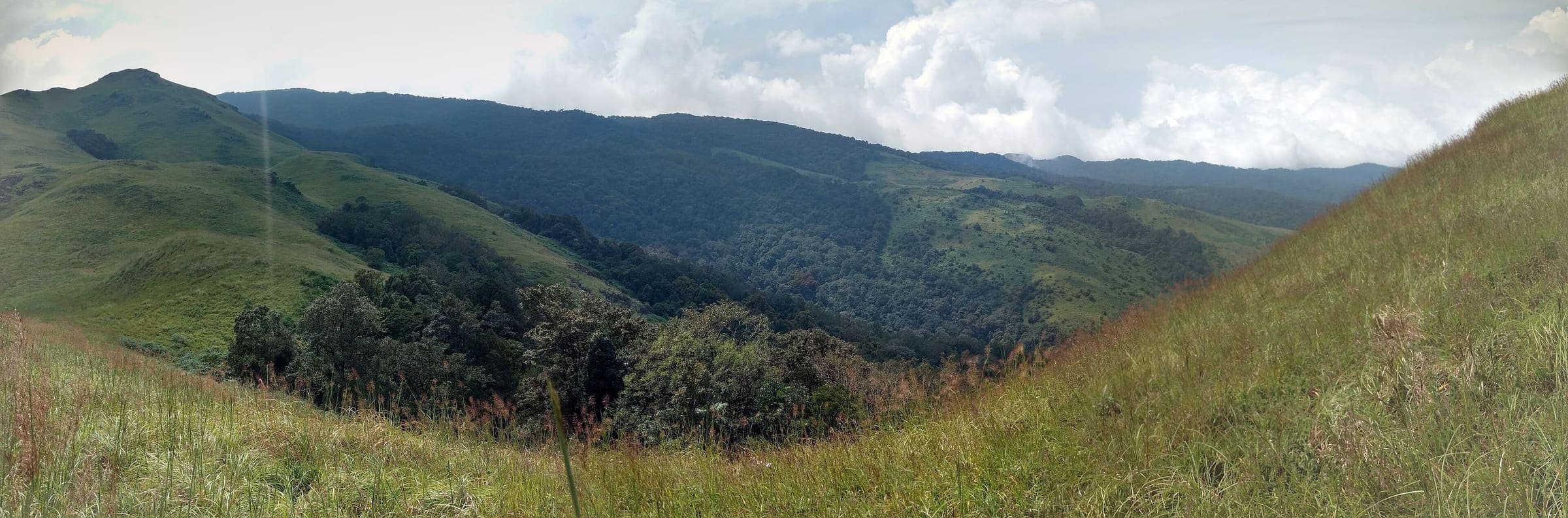
Key facts
Each figure is the stored value and its tier. A blank cell was not recorded.
| Trail | Distance | High point | Permit |
|---|---|---|---|
| Kudremukh | 8.45 km · Reported | 1807 m · provisional (DEM sample) | Unverified |
| Kumara Parvatha | 9.31 km · Reported | 1710 m · provisional (DEM sample) | Unverified |
| Skandagiri | 4.95 km · Reported | 1433 m · provisional (DEM sample) | Unverified |
Map loads when this section is on screen.
Trails
Hikes in Karnataka
Distance 8.45 km Reported · Ascent provisional (DEM sample) · High point provisional (DEM sample) · T2 · OSM route
Kudremukh
OSM hiking route Kudremukh, Karnataka (8.45 km line). Kudremukh NP. Forest permit required. Vertical figures from the GLO-30 resample. Days unknown.
Distance 9.31 km Reported · Ascent provisional (DEM sample) · High point provisional (DEM sample) · T2 · OSM route
Kumara Parvatha
OSM hiking route Kumara Parvatha, Karnataka (9.31 km line). Beedahalli approach absorbed. Forest permit required. Vertical figures from the GLO-30 resample. Days unknown.
Distance 4.95 km Reported · Ascent provisional (DEM sample) · High point provisional (DEM sample) · T2 · OSM route
Skandagiri
OSM hiking route Skandagiri, Karnataka (4.95 km line). OSM km vs Wikipedia 3 km. OSM tag=6 is not the name. Ecotourism pass required. Vertical figures from the GLO-30 resample. Days unknown.