
India · catalog list
Hikes in Karnataka
Every hike we hold in Karnataka, shortest stored distance first. Ordered by stored distance. This is the catalog, not a scored ranking and not a route planner.
Karnataka region overview · Filter by grade, duration, and permit
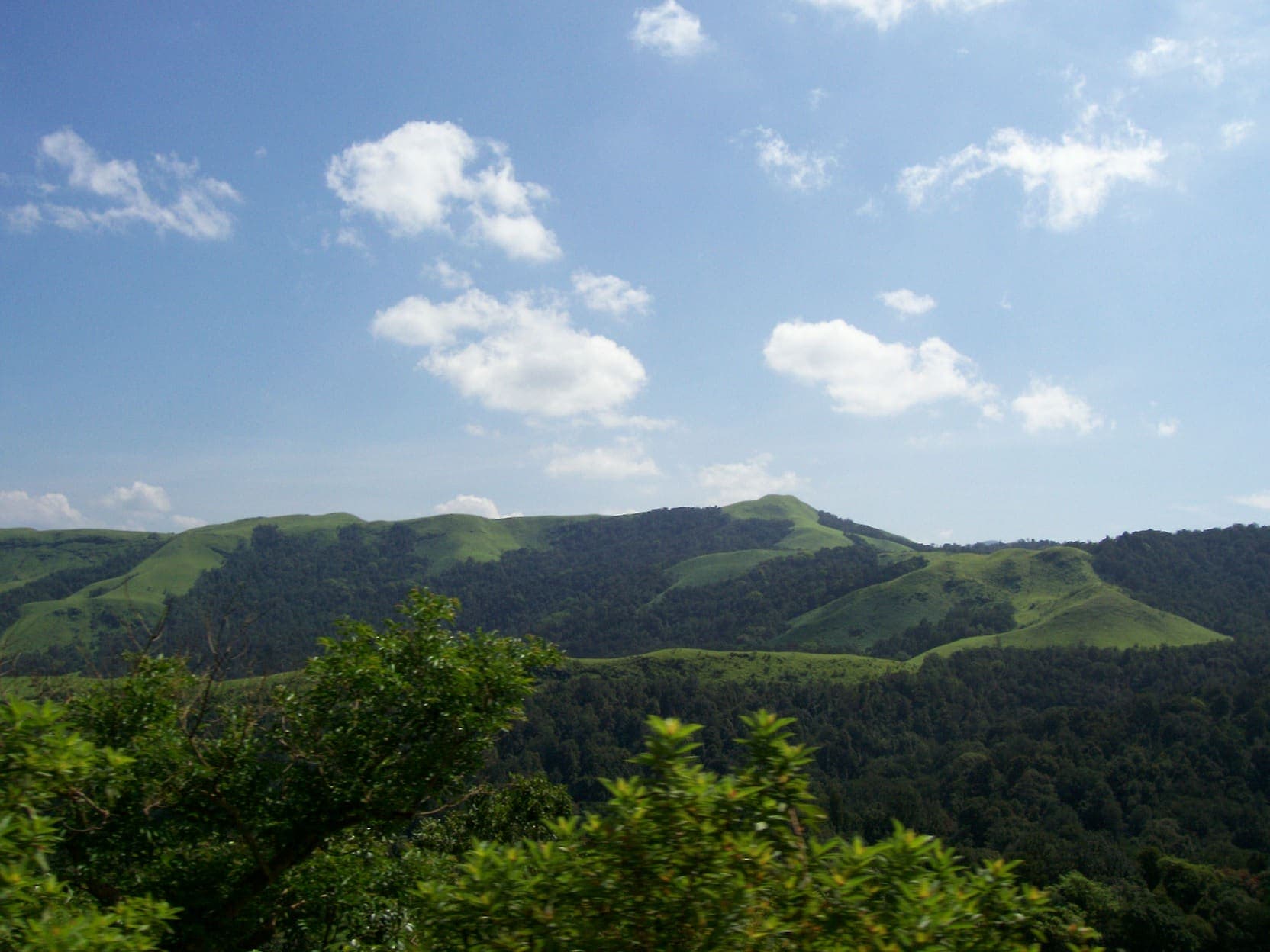
SAC T2 (mapped — no official SAC grade) · YDS 1
Kudremukh
OSM hiking route Kudremukh, Karnataka (8.45 km line). Kudremukh NP. Forest permit required. Vertical figures from the GLO-30 resample. Days unknown.
Distance 8.45 km Reported · Ascent provisional (DEM sample) · High point provisional (DEM sample) · T2 · OSM route · permit
SAC T2 (mapped — no official SAC grade) · YDS 1
Kumara Parvatha
OSM hiking route Kumara Parvatha, Karnataka (9.31 km line). Beedahalli approach absorbed. Forest permit required. Vertical figures from the GLO-30 resample. Days unknown.
Distance 9.31 km Reported · Ascent provisional (DEM sample) · High point provisional (DEM sample) · T2 · OSM route · permit
OSM sac_scale: mountain_hiking · SAC T2 · YDS 1
Skandagiri
OSM hiking route Skandagiri, Karnataka (4.95 km line). OSM km vs Wikipedia 3 km. OSM tag=6 is not the name. Ecotourism pass required. Vertical figures from the GLO-30 resample. Days unknown.
Distance 4.95 km Reported · Ascent provisional (DEM sample) · High point provisional (DEM sample) · T2 · OSM route · permit