
Hiking trails in Jammu and Kashmir
India · IN
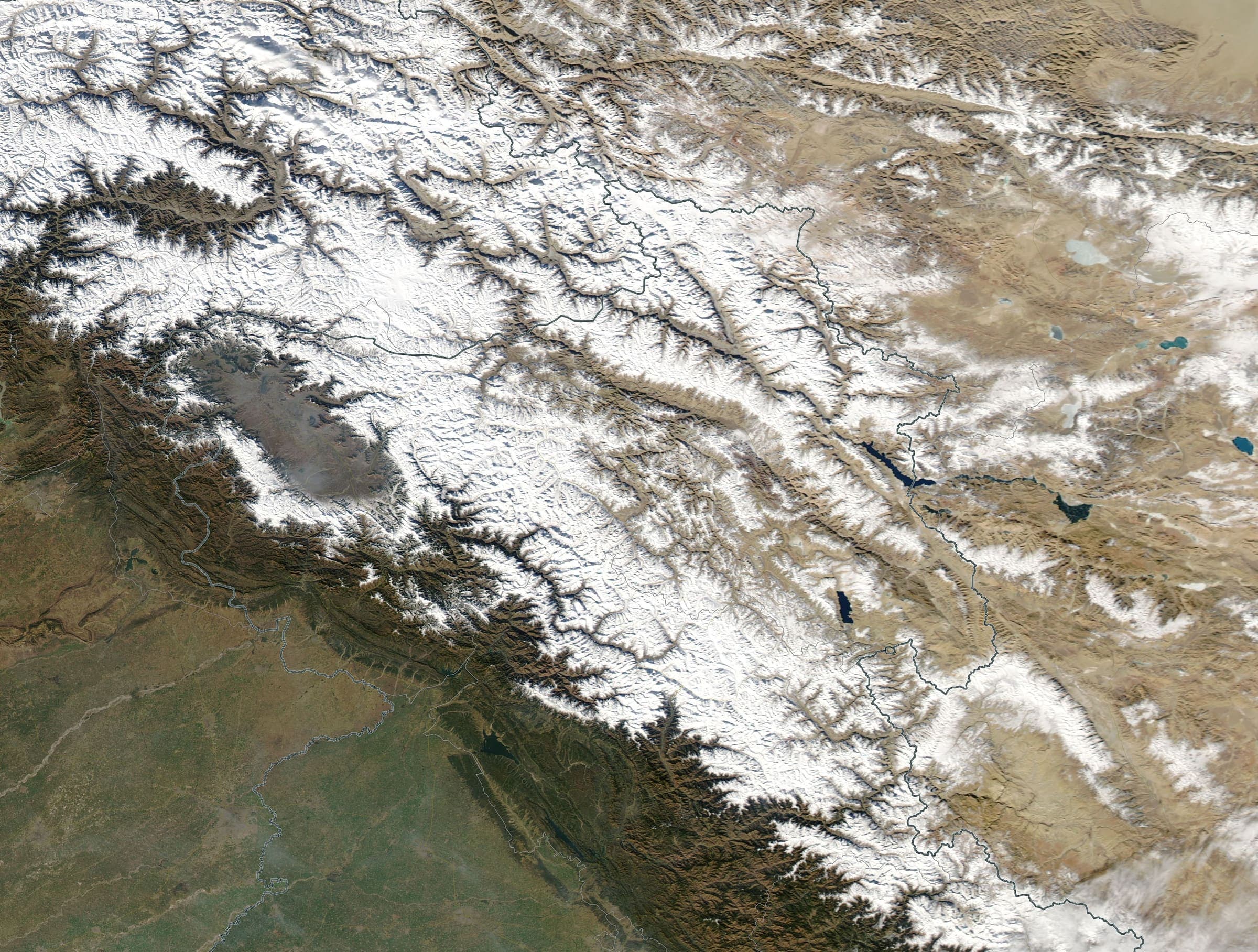
Kashmir Himalaya — marquee records and additional traverses. Kashmir Great Lakes and Gangbal–Naranag share a way and stay related, not merged, plus Kolahoi Glacier (DEM high is the glacier walk, not Kolahoi Peak). Traverses: Bhot Kol and Akshu La (Kishtwar/Warwan, not Ladakh), and the Trans-Jammu Traverse (one nwn Chamba→Jammu corridor: ~120 km Himachal Chamera→Kadwah, ~156 km J&K Kaluni Gala→Panjar; provisional for a ~2 km Ramnagar–Resian mapping gap).
Key facts
Each figure is the stored value and its tier. A blank cell was not recorded.
| Trail | Distance | High point | Permit |
|---|---|---|---|
| Kashmir Great Lakes | 61.52 km · Reported | 4176 m · provisional (DEM sample) | Unverified |
| Gangbal–Naranag | 11.9 km · Reported | 3521 m · provisional (DEM sample) | Unverified |
| Kolahoi Glacier | 19.12 km · Reported | 3328 m · provisional (DEM sample) | Unverified |
| Bhot Kol | 71.17 km · Reported | 4417 m · provisional (DEM sample) | Unverified |
| Akshu La | 67.84 km · Reported | 5046 m · provisional (DEM sample) | Unverified |
| Trans-Jammu Traverse | 275.84 km · Reported | 2776 m · provisional (DEM sample) | Unverified |
Map loads when this section is on screen.
Distance 67.84 km Reported · High point provisional (DEM sample) · T5 · OSM route
Akshu La
OSM hiking traverse Akshu La, Jammu and Kashmir (67.84 km Kishtwar line). Not Ladakh. Trail visibility: no. Vertical figures from the GLO-30 resample. Days unknown. additional.
Distance 71.17 km Reported · High point provisional (DEM sample) · T2 · OSM route
Bhot Kol
OSM hiking traverse Bhot Kol, Jammu and Kashmir (71.17 km Warwan/Kishtwar line). Not Ladakh. Vertical figures from the GLO-30 resample. Days unknown. additional.
Distance 11.9 km Reported · Ascent provisional (DEM sample) · High point provisional (DEM sample) · T2 · OSM route
Gangbal–Naranag
OSM hiking route Gangbal–Naranag, Jammu and Kashmir (11.9 km line). Related to Kashmir Great Lakes; not merged. Vertical figures from the GLO-30 resample. Days unknown.
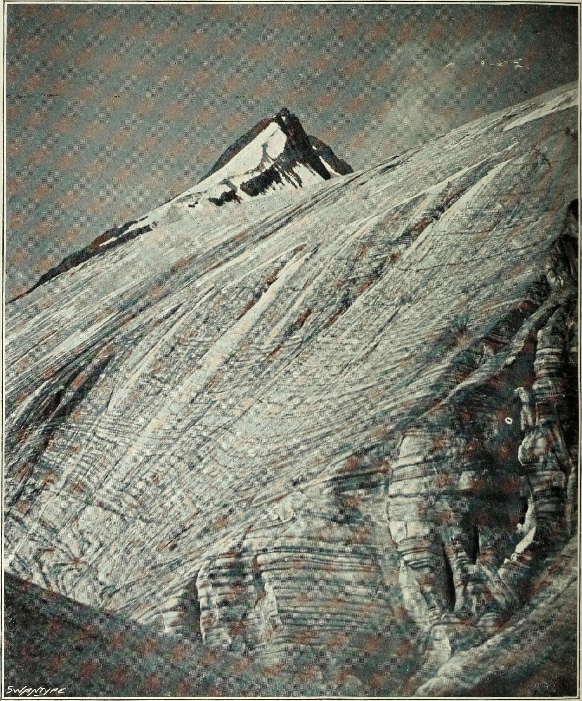
Distance 61.52 km Reported · High point provisional (DEM sample) · T2 · OSM route
Kashmir Great Lakes
OSM hiking route Kashmir Great Lakes, Jammu and Kashmir (61.52 km Sonamarg–Naranag line). J&K Tourism permit required. Related to Gangbal–Naranag; not merged. Vertical figures from the GLO-30 resample. Days unknown.
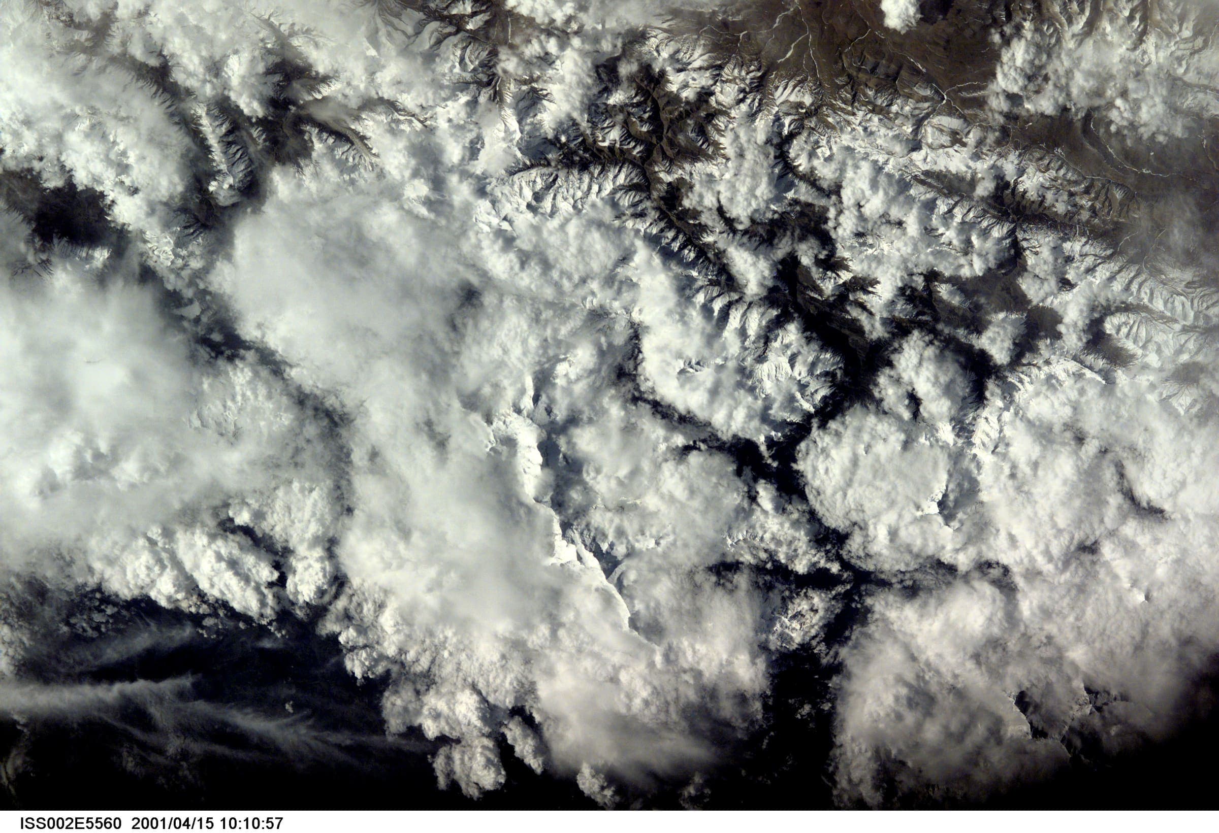
Distance 19.12 km Reported · Ascent provisional (DEM sample) · High point provisional (DEM sample) · T2 · OSM route
Kolahoi Glacier
OSM hiking route Kolahoi Glacier, Jammu and Kashmir (19.12 km line from Aru/Lidderwat). DEM high is the glacier walk, not Kolahoi Peak. Vertical figures from the GLO-30 resample. Days unknown.
Distance 275.84 km Reported · High point provisional (DEM sample) · T2 · OSM route
Trans-Jammu Traverse
OSM hiking traverse, one intended nwn Chamba→Jammu corridor (275.84 km). Cross-state: ~120 km Himachal (Chamba: Chamera→Kadwah) and ~156 km J&K (Udhampur/Jammu: Kaluni Gala→Panjar). DEM high 2,776 m (mid-hill rollers, not alpine). Provisional for a ~2 km Ramnagar–Resian mapping gap.