
Hiking trails in Annapurna
Nepal · NP
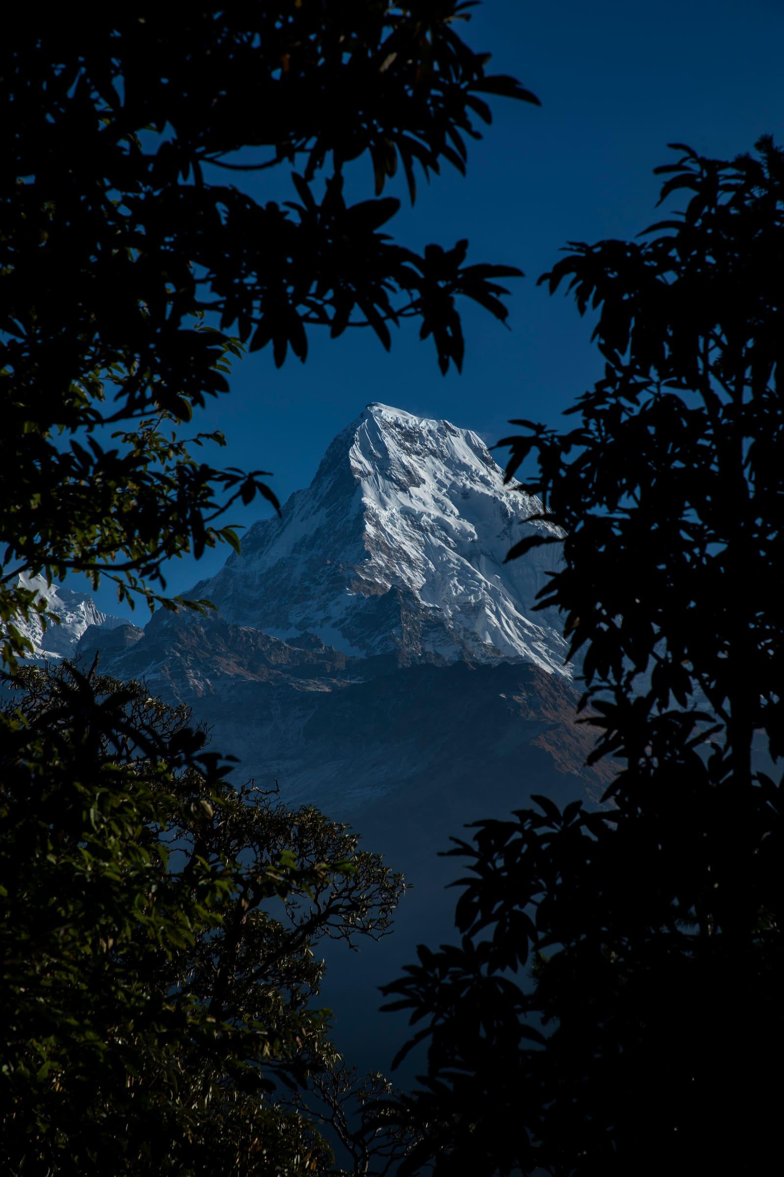
North-central Nepal massif. Teahouse valleys host some of the Himalaya's busiest long treks, with logistics still thinly documented in English.
Key facts
Each figure is the stored value and its tier. A blank cell was not recorded.
| Trail | Distance | High point | Permit |
|---|---|---|---|
| Annapurna Circuit | 334.1 km · Reported | 5389 m · provisional (DEM sample) | Reported |
| Naar-Phu trek | 64.26 km · Reported | 5302 m · provisional (DEM sample) | Reported |
| Tilicho Trek | 64.5 km · Reported | 5431 m · provisional (DEM sample) | Reported |
| Naar to Tange | 52 km · Reported | 5392 m · provisional (DEM sample) | Reported |
| Mardi Himal trek | 30.09 km · Reported | 4222 m · provisional (DEM sample) | Reported |
| Tiuche Lake | 30.6 km · Reported | 4195 m · provisional (DEM sample) | Reported |
| Dudh Pokhari Lake | 26.5 km · Reported | 4864 m · provisional (DEM sample) | Reported |
| Miristi Khola | 25.9 km · Reported | 5907 m · provisional (DEM sample) | Reported |
| Kapuche Glacier Lake | 10.5 km · Reported | 2450 m · provisional (DEM sample) | Reported |
| Ice Lake Trek | 5.1 km · Reported | 4620 m · provisional (DEM sample) | Reported |
| Annapurna Base Camp | 23.88 km · Reported | 4127 m · provisional (DEM sample) | Reported |
Map loads when this section is on screen.
Trails
Hikes in Annapurna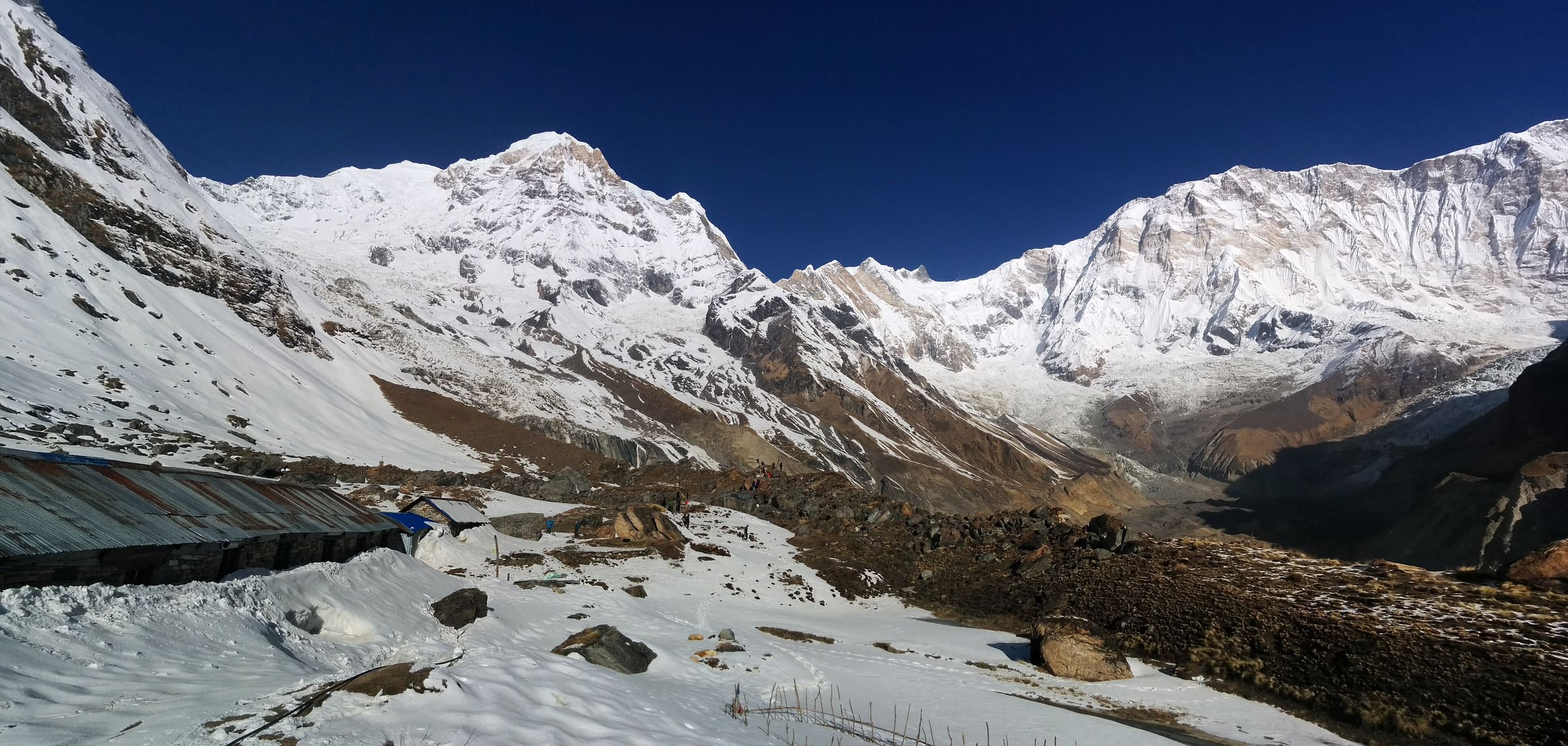
Distance 23.88 km Reported · Ascent provisional (DEM sample) · High point provisional (DEM sample) · 11d · SAC T4
Annapurna Base Camp
OSM hiking route Annapurna Base Camp, Nepal (23.88 km line). out-and-back; one-way 23.88 km, round-trip 47.77 km in prose. Permits are the headline (official NTB/NTNC 2026-09-21). Vertical figures from the Wave N GLO-30 resample.
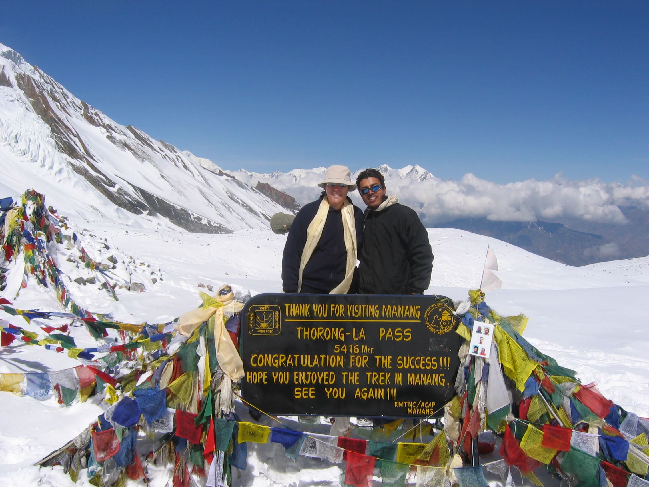
Distance 334.1 km Reported · High point provisional (DEM sample) · T3 · OSM route
Annapurna Circuit
Annapurna Circuit Trekking Route, permit required
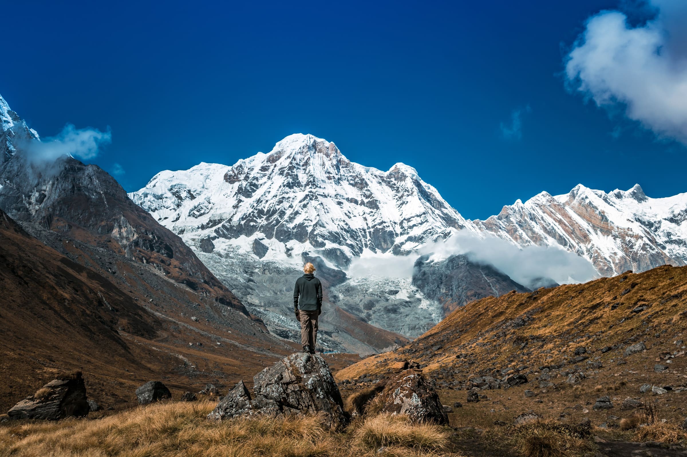
Distance 26.5 km Reported · High point provisional (DEM sample) · T2 · OSM route
Dudh Pokhari Lake
OSM hiking route in the Annapurna region (26.5 km line). Vertical figures sampled from Copernicus GLO-30.
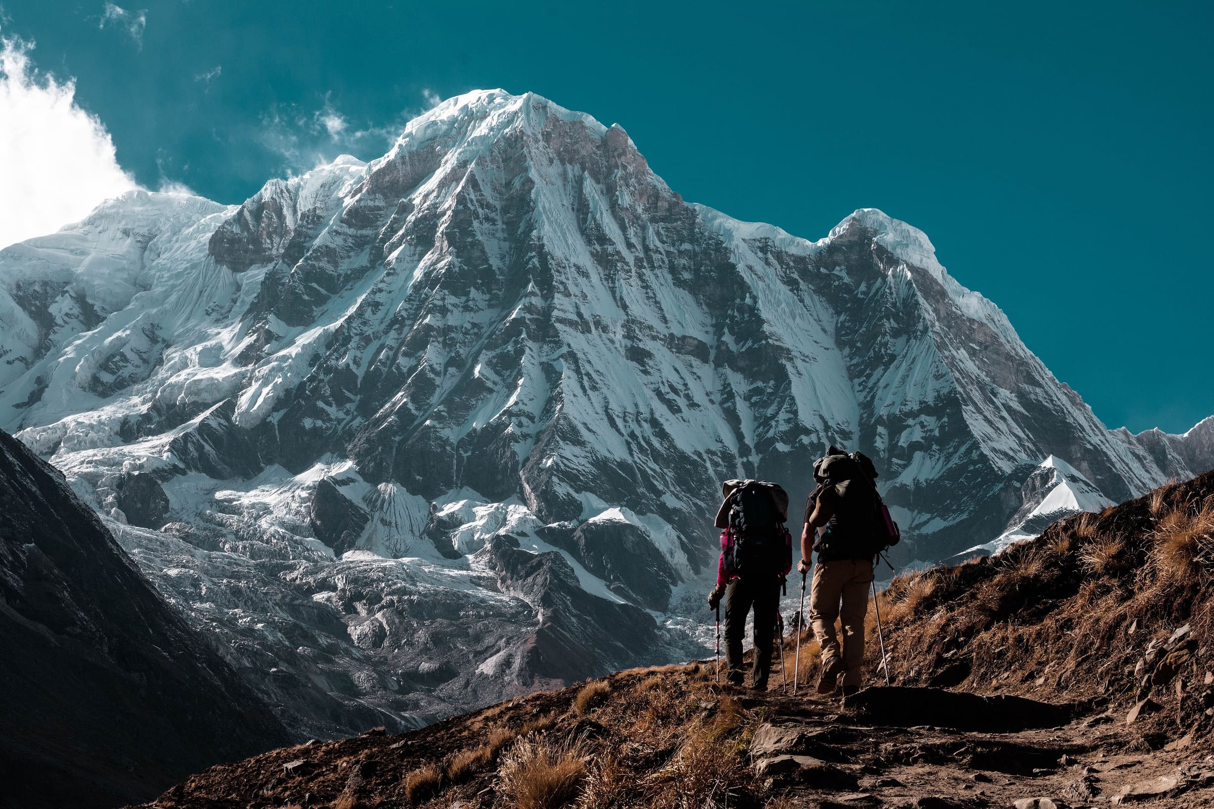
Distance 5.1 km Reported · Ascent provisional (DEM sample) · High point provisional (DEM sample) · 1d · SAC T2
Ice Lake Trek
OSM hiking route in the Annapurna region (5.1 km line). Vertical figures sampled from Copernicus GLO-30.
Distance 10.5 km Reported · Ascent provisional (DEM sample) · High point provisional (DEM sample) · T2 · OSM route
Kapuche Glacier Lake
OSM hiking route in the Annapurna region (10.5 km line). Vertical figures sampled from Copernicus GLO-30.
Distance 30.09 km Reported · High point provisional (DEM sample) · T2 · OSM route
Mardi Himal trek
OSM hiking route in the Annapurna region (36.2 km line). The tail slug mardi-himal-base-camp-trail (2.9 km, unverified permit) was retired; its permit row was not copied. Vertical figures sampled from Copernicus GLO-30.
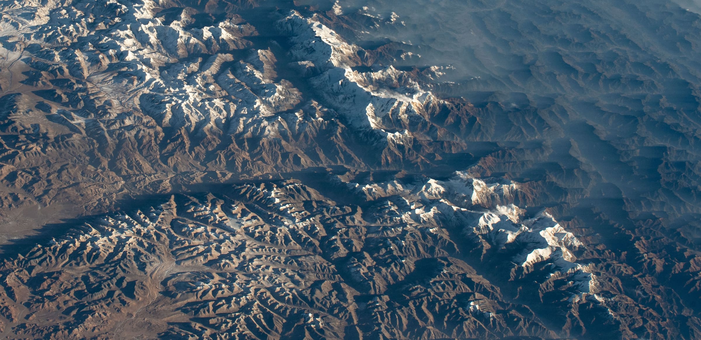
Distance 25.9 km Reported · High point provisional (DEM sample) · T2 · OSM route
Miristi Khola
OSM hiking route in the Annapurna region (25.9 km line). Vertical figures sampled from Copernicus GLO-30.
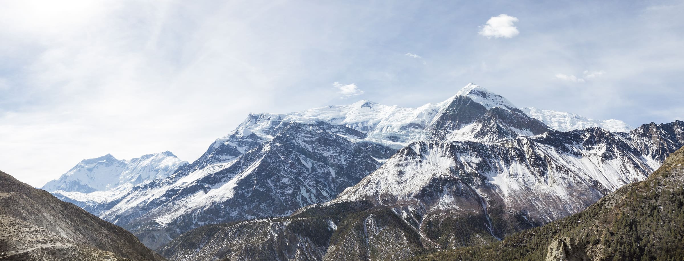
Distance 52 km Reported · High point provisional (DEM sample) · T2 · OSM route
Naar to Tange
OSM hiking route in the Annapurna region (52 km line). Vertical figures sampled from Copernicus GLO-30.
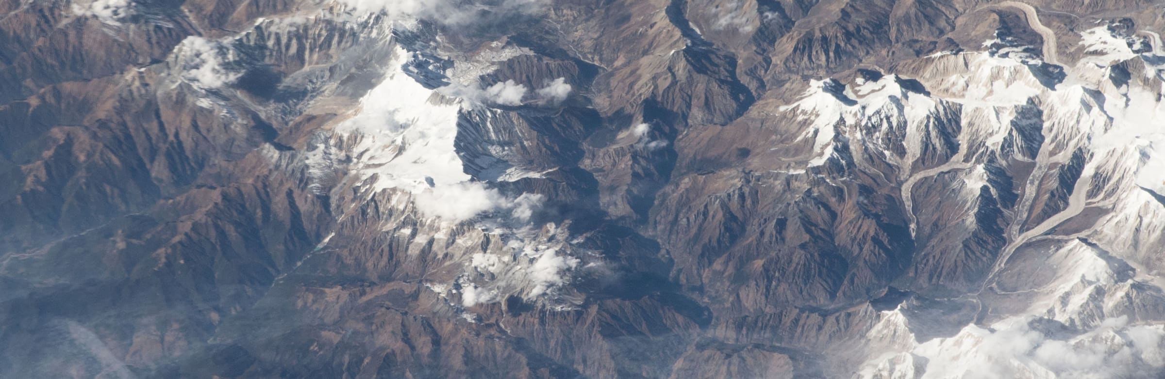
Distance 64.26 km Reported · High point provisional (DEM sample) · 6d · SAC T2
Naar-Phu trek
OSM hiking route in the Annapurna region (69.8 km line). Vertical figures sampled from Copernicus GLO-30.
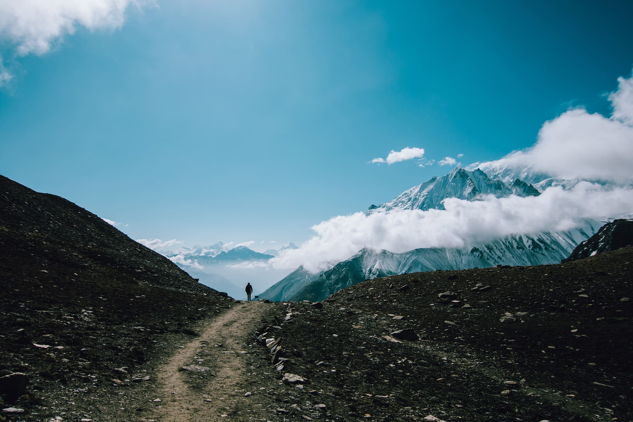
Distance 64.5 km Reported · High point provisional (DEM sample) · T2 · OSM route
Tilicho Trek
OSM hiking route in the Annapurna region (64.5 km line). Vertical figures sampled from Copernicus GLO-30.
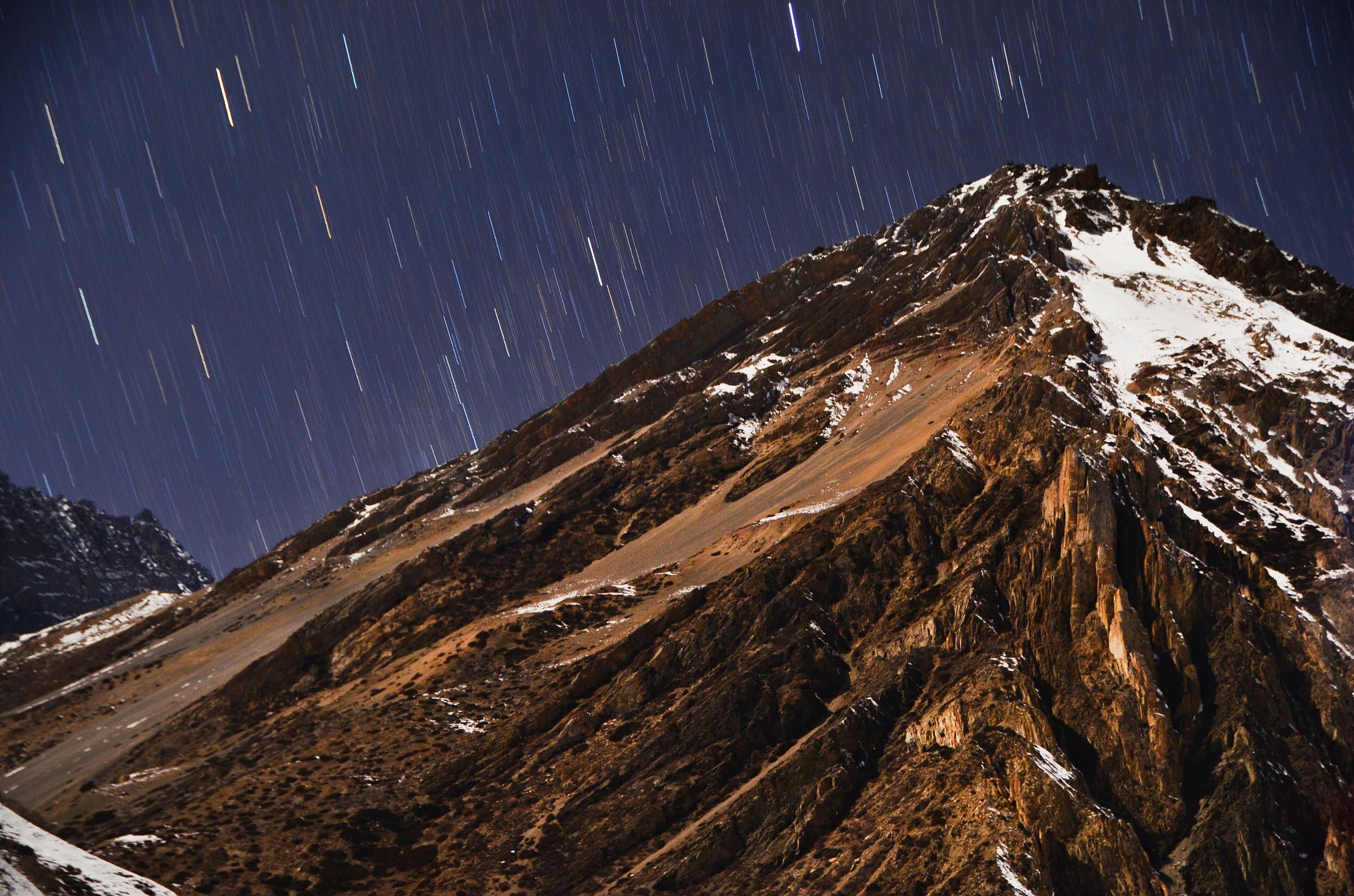
Distance 30.6 km Reported · High point provisional (DEM sample) · T2 · OSM route
Tiuche Lake
OSM hiking route in the Annapurna region (30.6 km line). Vertical figures sampled from Copernicus GLO-30.
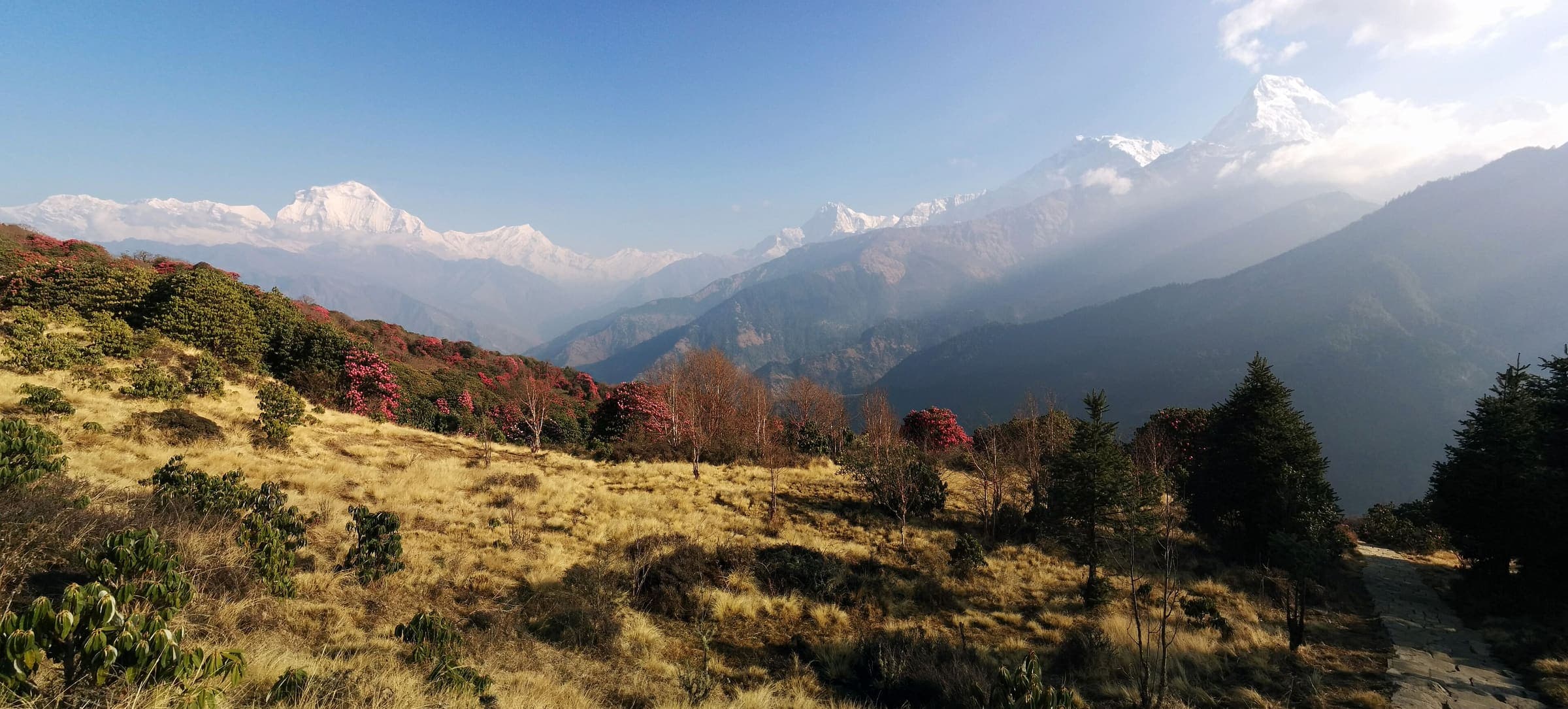
Distance 45 km Reported · High point Reported · T2 · schematic
Ghorepani Poon Hill
Curated schematic — not walking distance. Pin-to-pin OSM named-waypoint loop Nayapul → Ghorepani → Poon Hill → Ghandruk → Nayapul. Cited itinerary ~45 km (provisional, secondary). Permits are the headline (official NTNC/NTB 2026-09-21). High 3,210 m is the Poon Hill landmark.