
Guides · Himalaya & Karakoram · 2026
Base camp treks: how far you actually walk
The famous 8,000 m “treks” go to Base Camp, a walking destination. The summit above is mountaineering the trek does not include.
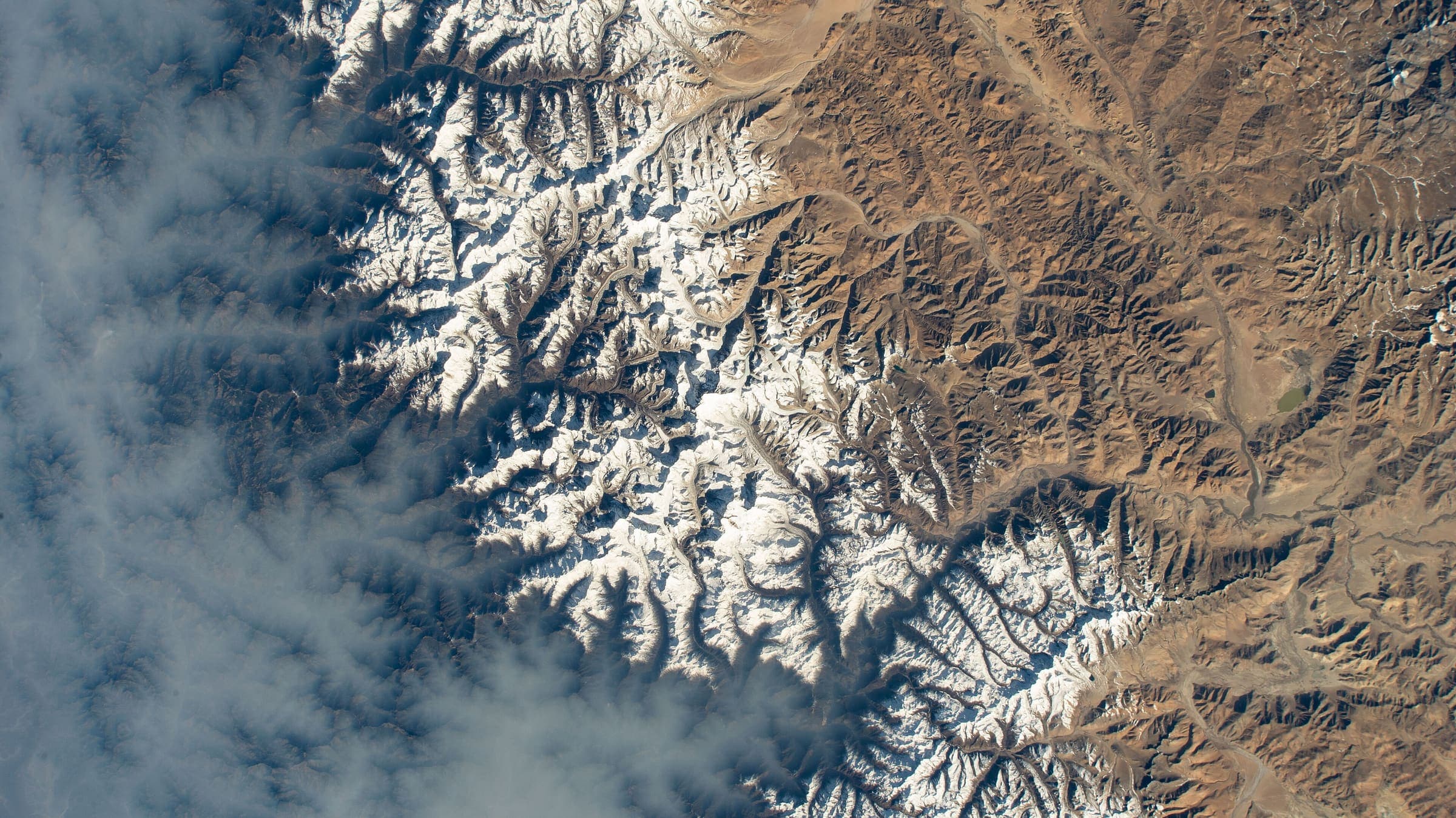
The trek is the hike; the summit is not
Marketing copy often says “Everest trek” or “K2 trek” as if the itinerary finished on the peak. On this catalog the walk stops at camp (or a viewpoint on the same walking line). That is the same line as where hiking ends: walking is SAC T1–T3 / YDS 1–2; ropes, glaciers, and the death zone are mountaineering. A trail page that carries a “Where the walking ends” block is naming that handoff. We have not verified the climb.
Altitude on these corridors is a public safety fact, not a grade. Read Himalayan altitude rather than a rest-day itinerary invented here. Nepal permit documents live on Nepal trekking permits. Fee amounts stay gated or Unverified — never invented on this page.
Base-camp walks in this catalog
Membership is earned from records whose walking line is tagged as ending at camp, with mountaineering above — not from a padded list. New 8,000 m camp records appear here when they land. Nanga Parbat / Fairy Meadows did not resolve as a hiking relation or two named OSM nodes and was not invented.
out-and-back
Annapurna Base Camp Trek
Stored length 70 km. High 4,130 m on this record; walking ends at Annapurna Base Camp / Sanctuary (4,130 m). The peak above is mountaineering, not this trail.
seed:approx · 2026-01-01 · editorial · provisionalen.wikipedia.org · 2026-08-24 · wikidata · official · provisionalout-and-back
Everest Base Camp Trek
Stored length 42.9 km (schematic — not walking distance). High 5,292 m on this record; walking ends at Everest Base Camp (5,364 m). The peak above is mountaineering, not this trail. Many itineraries add Kala Patthar as a walking viewpoint above Gorak Shep; that pin is not on this record's schematic village line.
curated (schematic village line: Lukla–Phakding–Namche–Tengboche–Dingboche–Lobuche–Gorak Shep–EBC) · 2026-08-24 · editorial · provisionalcopernicus-dem:glo-30 · 2026-08-24 · dem · provisionalpoint-to-point
K2 Base Camp / Concordia
Stored length 74.2 km (schematic — not walking distance). High 4,963 m on this record; walking ends at K2 Base Camp. The peak above is mountaineering, not this trail.
curated:schematic · 2026-09-11 · editorial · provisionalcopernicus-dem:glo-30 · 2026-09-11 · dem · provisionalpoint-to-point
Kangchenjunga Base Camp (Pangpema)
Stored length 64.7 km (schematic — not walking distance). High 5,134 m on this record; walking ends at Pangpema (Kangchenjunga Base Camp) (5,140 m). The peak above is mountaineering, not this trail.
curated:schematic · 2026-09-11 · editorial · provisionalcopernicus-dem:glo-30 · 2026-09-11 · dem · provisionalpoint-to-point
Makalu Base Camp
Stored length 20 km. High 4,867 m on this record; walking ends at Makalu Base Camp (4,830 m). The peak above is mountaineering, not this trail.
osm:relation:19876100 · 2026-09-11 · osm · provisionalcopernicus-dem:glo-30 · 2026-09-11 · dem · provisional
A circuit is not a base-camp trek
Manaslu Circuit is a walking circuit around Manaslu (OSM 2-D 146.9 km; DEM high 5,151 m in the Larkya La band). It is not a walk to Manaslu Base Camp. The summit is mountaineering and is not this record. It is listed here so “Manaslu trek” is not read as a climb.
osm:relation:1328173 · 2026-08-25 · osm · provisionalcopernicus-dem:glo-30 · 2026-08-25 · dem · provisionalFigures you will see on the records
Some lengths are OSM walking lines; some are labelled schematic — not walking distance. DEM highs are Copernicus samples of the stored geometry, which may sit a few metres off a cited camp or pass. We leave the DEM in place rather than overwrite it. Published kilometre disagreements are shown on the trail page, not silently picked. See how long is the trail.
Also in this desk: Where hiking ends · Himalayan altitude · Nepal trekking permits · How we verify.