
Australia · catalog list
Hikes in Tasmania
Every hike we hold in Tasmania, shortest stored distance first. Ordered by stored distance. This is the catalog, not a scored ranking and not a route planner.
Tasmania region overview · Filter by grade, duration, and permit
Parks Tasmania: Grade 4 · SAC T2–T3 (mapped — no official SAC grade) · YDS 1
Overland Track
OSM hiking route in Cradle Mountain–Lake St Clair National Park, Tasmania (77.6 km line). Vertical figures sampled from Copernicus GLO-30.
Distance 65 km Verified read 2026-08-24 · Mapped line 77.6 km (includes the Lake St Clair continuation), Reported · High point provisional (DEM sample) · 6d · SAC T2 · permit
SAC T2 · YDS 1
Bay of Fires Walk
Mapped coastal path from Gardens Lagoon toward Binalong Bay. Not the 4-day Bay of Fires Lodge Walk. Public sections free; lodge sections commercial.
Distance 21.8 km Reported · Ascent provisional (DEM sample) · High point provisional (DEM sample) · 1d · SAC T2 · permit-free on this record
SAC T2 · YDS 1
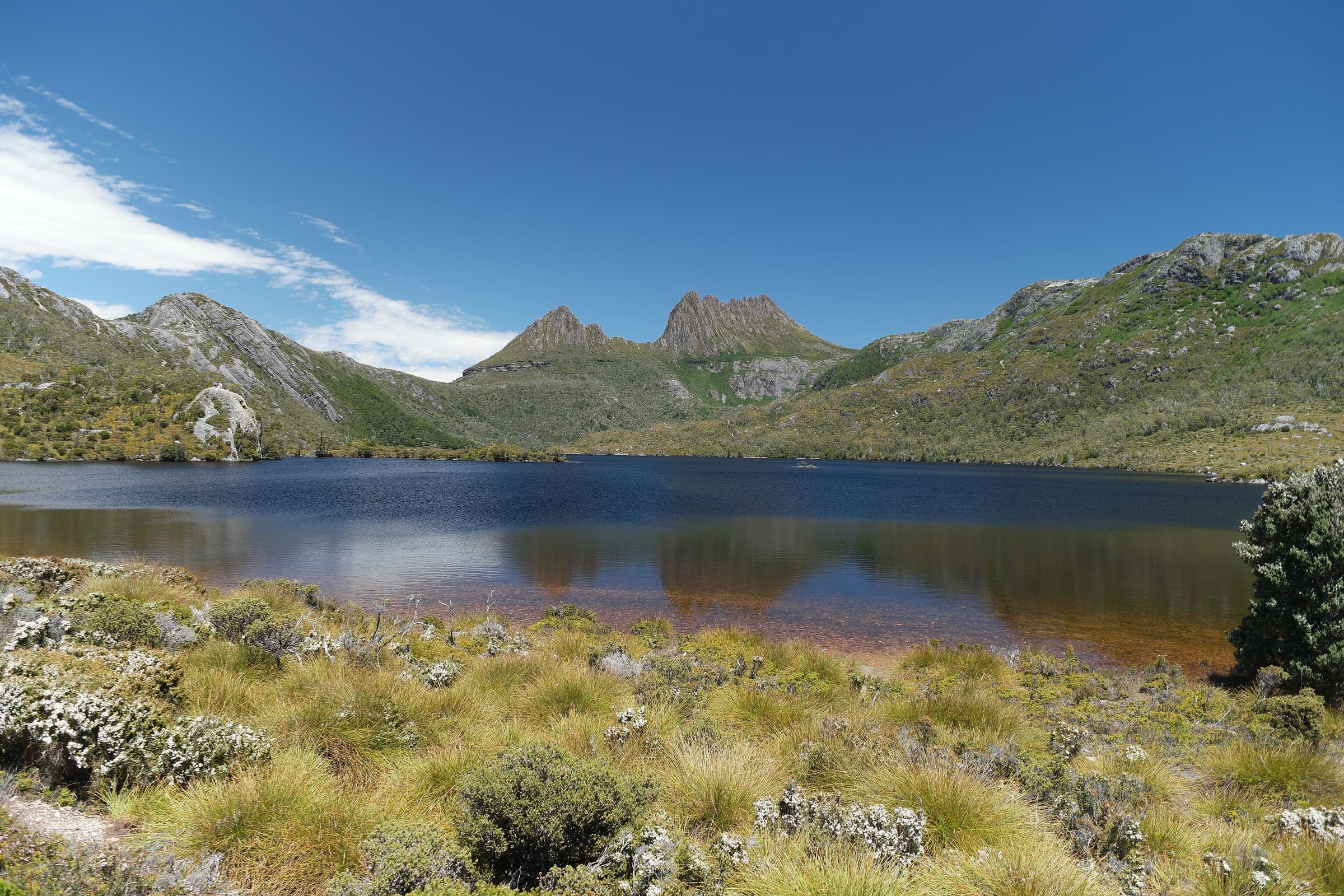
Cradle Mountain (Dove Lake Circuit)
OSM Dove Lake Circuit, left open (endpoints about 396 m apart). Cradle Mountain 1,545 m is a landmark, not this line's high. Tasmania Parks Pass, not a trail lottery.
Distance 5.01 km Reported · Ascent provisional (DEM sample) · High point provisional (DEM sample) · 1d · SAC T2 · permit-free on this record
SAC T2 · YDS 1
Wineglass Bay (Freycinet)
Short OSM lookout-area segment, not the full car-park to beach walk. Tasmania Parks Pass, not a trail lottery.
Distance 2.04 km Reported · Ascent provisional (DEM sample) · High point provisional (DEM sample) · 1d · SAC T2 · permit-free on this record