
Hiking trails in Switzerland national routes
Switzerland · CH
SchweizMobil's numbered national hiking superroutes — multi-canton lines across Switzerland (Via Alpina starts in Liechtenstein).
Key facts
Each figure is the stored value and its tier. A blank cell was not recorded.
| Trail | Distance | High point | Permit |
|---|---|---|---|
| Via Alpina | 379.5 km · Reported | 2760 m · provisional (DEM sample) | Unverified |
| Alpine Panorama Trail | 505.7 km · Reported | 1655 m · provisional (DEM sample) | Unverified |
| Trans Swiss Trail | 510.1 km · Reported | 2109 m · provisional (DEM sample) | Unverified |
| ViaGottardo | 322.1 km · Reported | 2109 m · provisional (DEM sample) | Unverified |
Map loads when this section is on screen.
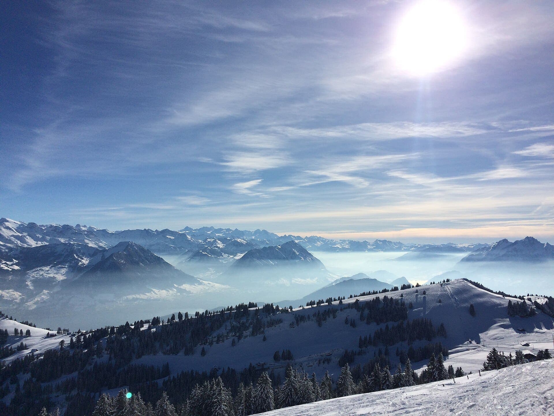
Distance 505.7 km Reported · High point provisional (DEM sample) · T2 · OSM route
Alpine Panorama Trail
Reported OSM superroute: SchweizMobil national hiking route 3, Alpine Panorama Trail, Rorschach to Genève, 505.7 km OSM 2-D. Vertical figures sampled from Copernicus GLO-30.
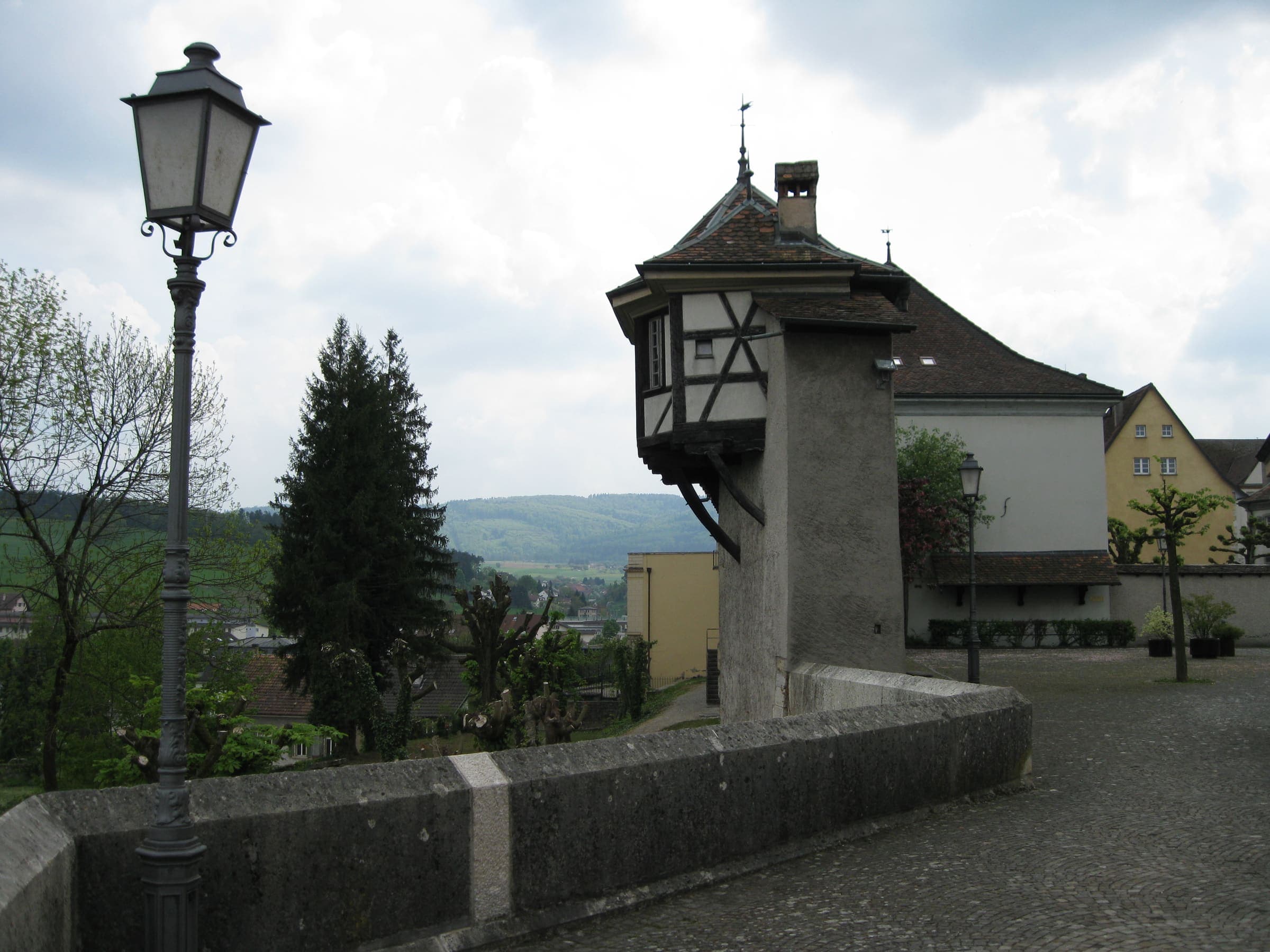
Distance 510.1 km Reported · High point provisional (DEM sample) · T2 · OSM route
Trans Swiss Trail
Reported OSM superroute: SchweizMobil national hiking route 2, Trans Swiss Trail, Porrentruy to Mendrisio, 510.1 km OSM walking. Official stage 7 crosses Lac de Neuchâtel by boat (not walking). Vertical figures sampled from Copernicus GLO-30.
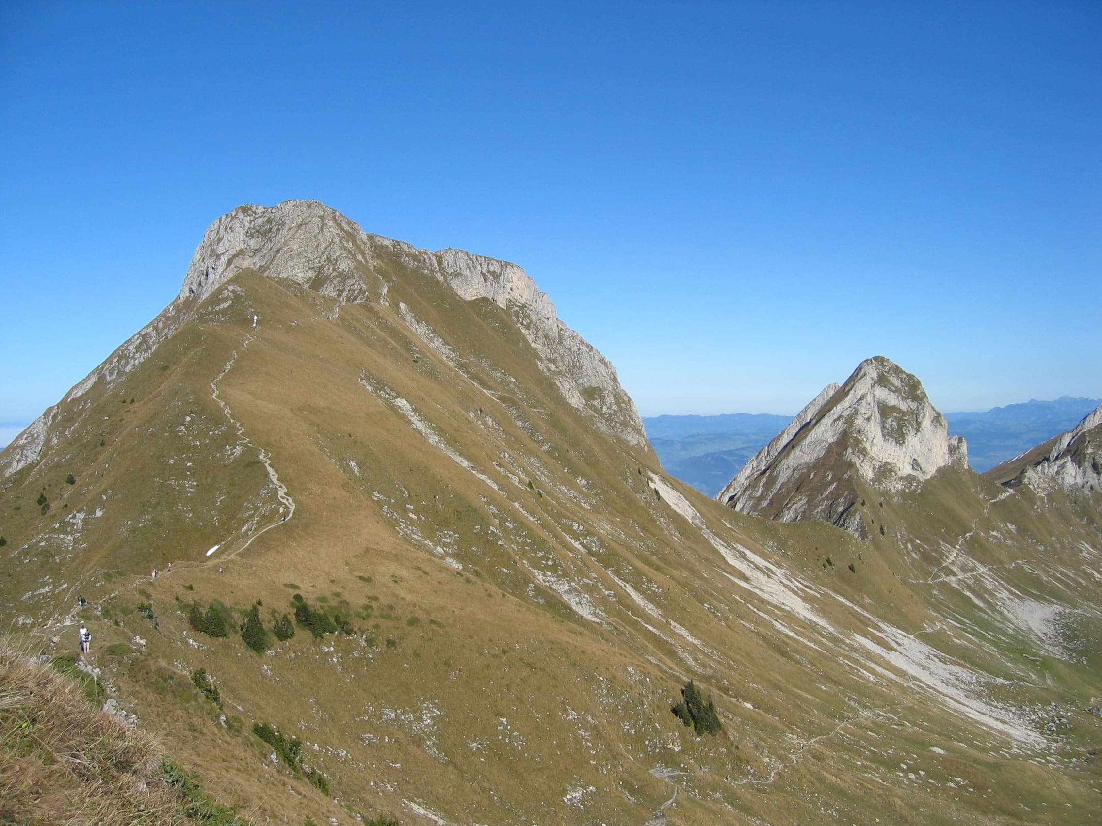
Distance 379.5 km Reported · High point provisional (DEM sample) · T3 · OSM route
Via Alpina
Reported OSM superroute: SchweizMobil national hiking route 1, Via Alpina, Vaduz (FL) to Montreux, 379.5 km OSM 2-D. Vertical figures sampled from Copernicus GLO-30.
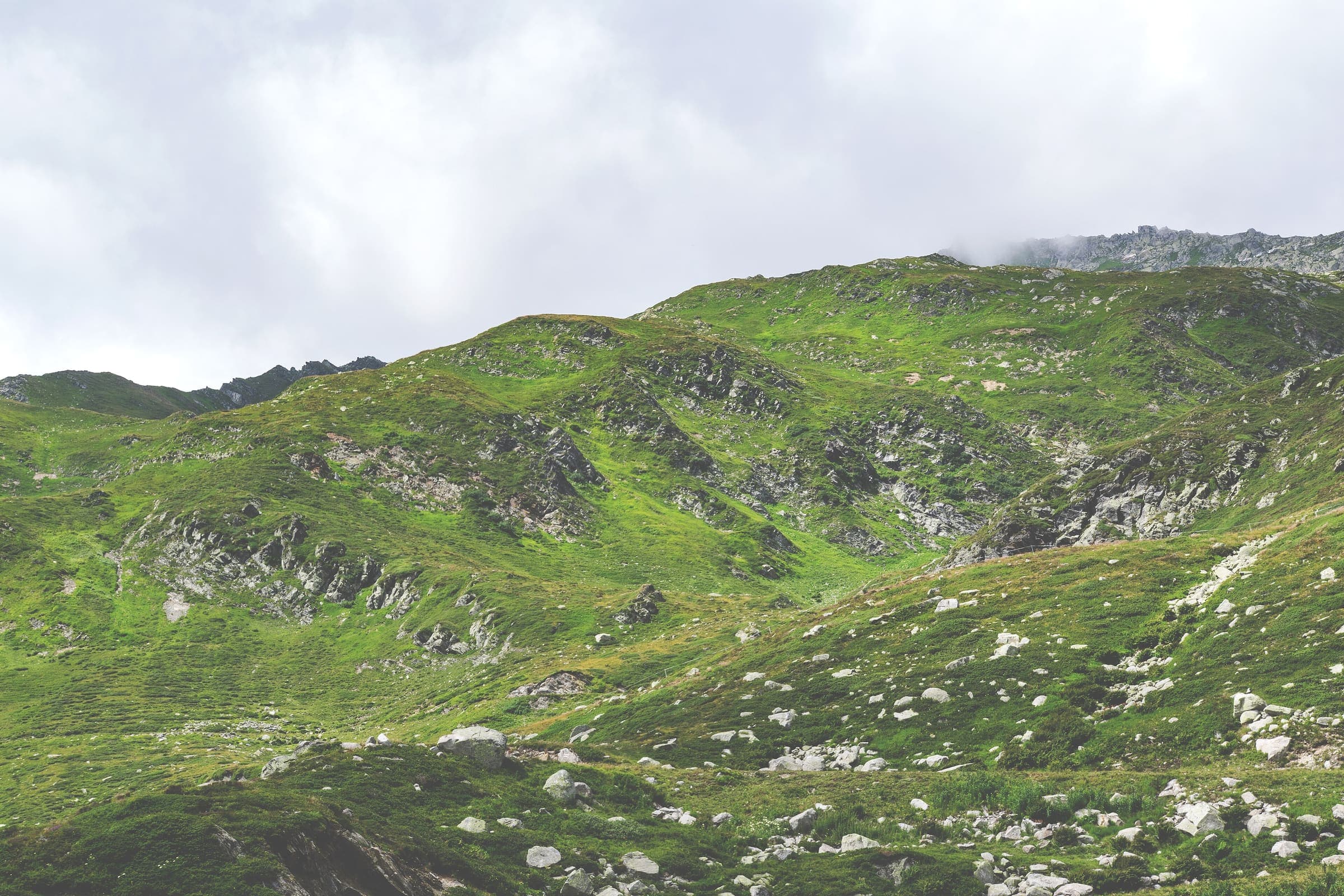
Distance 322.1 km Reported · High point provisional (DEM sample) · T2 · OSM route
ViaGottardo
Reported OSM superroute: SchweizMobil national hiking route 7, ViaGottardo, Basel to Chiasso, 322.1 km OSM walking. Official stage 7 crosses Lake Lucerne by boat (not walking). Vertical figures sampled from Copernicus GLO-30.