
Hiking trails in Steiermark
Austria · AT
Styria — Graz's hill country, the Erzberg iron region, and the Almenland around Passail.

Key facts
Each figure is the stored value and its tier. A blank cell was not recorded.
| Trail | Distance | High point | Permit |
|---|---|---|---|
| Grabenlandtrail | 129.2 km · Reported | 515 m · provisional (DEM sample) | Unverified |
| Styrian Iron Trail | 204.3 km · Reported | 2110 m · provisional (DEM sample) | Unverified |
| Weg der 100.000 Schritte | 87.9 km · Reported | 1544 m · provisional (DEM sample) | Unverified |
Map loads when this section is on screen.
Trails
Hikes in Steiermark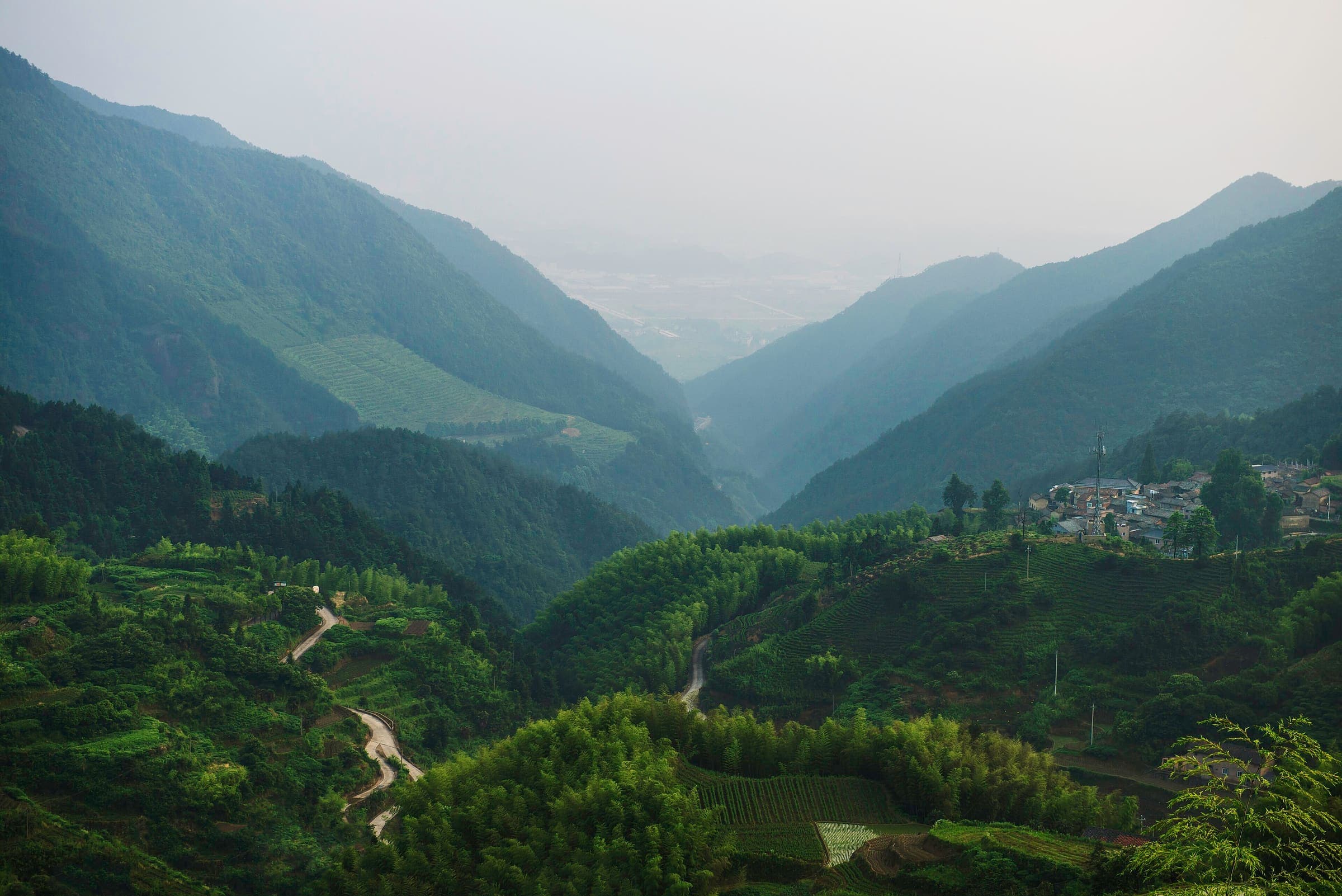
Distance 129.2 km Reported · High point provisional (DEM sample) · T2 · OSM route
Grabenlandtrail
Reported OSM relation: Grabenlandtrail, Fernitz loop (Südoststeiermark), 129.2 km OSM 2-D. Vertical figures sampled from Copernicus GLO-30.
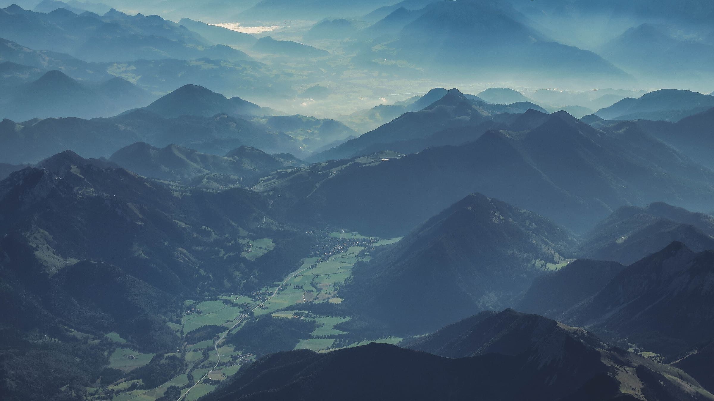
Distance 204.3 km Reported · High point provisional (DEM sample) · 10d · SAC T2
Styrian Iron Trail
Reported OSM relation: Styrian Iron Trail, St. Michael to Leoben, 204.3 km OSM 2-D. Vertical figures sampled from Copernicus GLO-30.
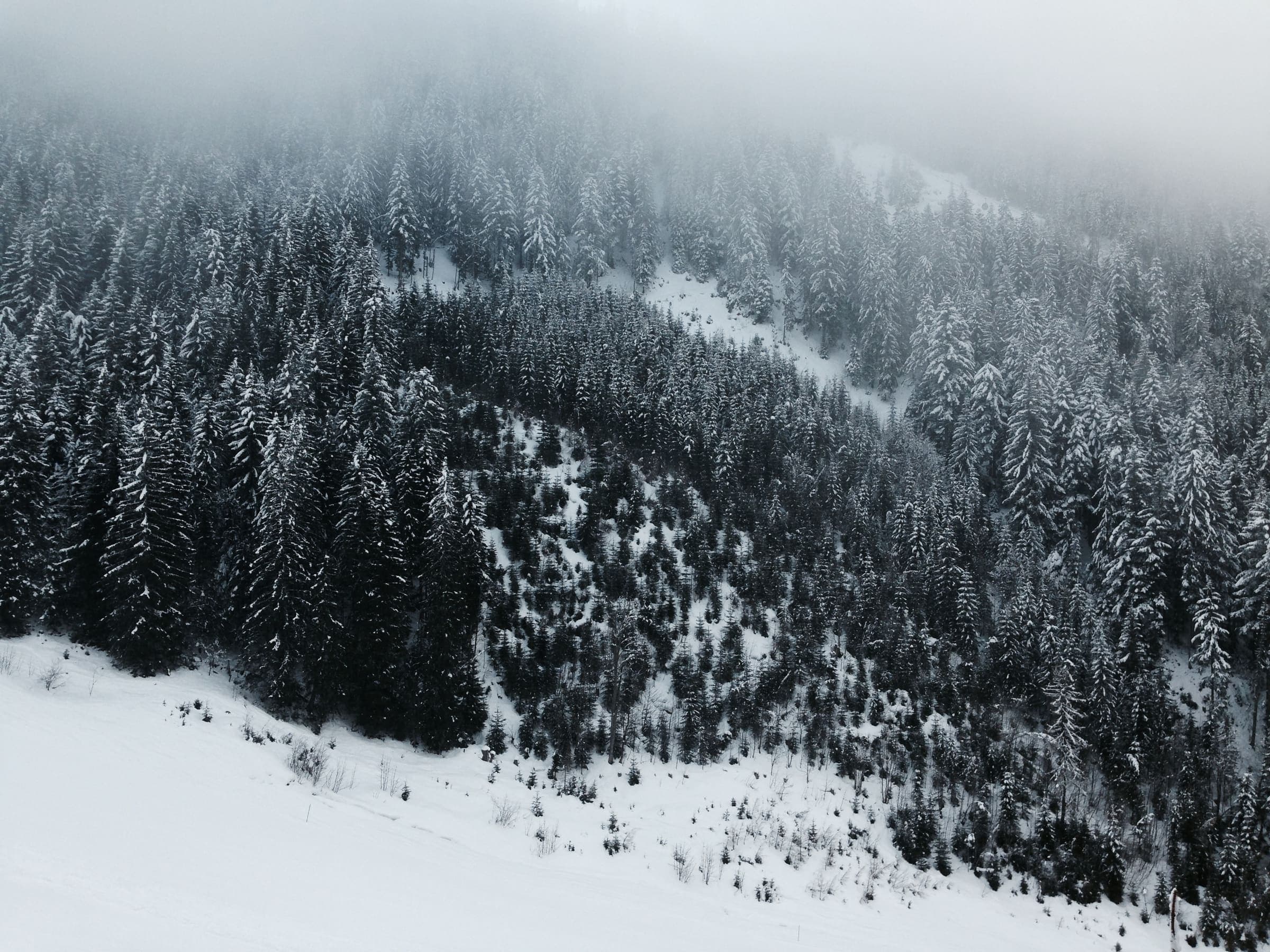
Distance 87.9 km Reported · High point provisional (DEM sample) · 6d · SAC T2
Weg der 100.000 Schritte
Reported OSM relation: Weg der 100.000 Schritte, Arzberg loop (Passailer Kessel), 87.9 km OSM 2-D. Vertical figures sampled from Copernicus GLO-30.