
Hiking trails in Austria
AT
Austria is country #2 under the same verified-coverage bar as Switzerland. The ten numbered national Weitwanderwege (ÖAV Sektion Weitwanderer, 01–10) remain hard-stopped (OSM way-bags or incomplete superroutes). Eight verified regional Weitwanderwege are filed to Oberösterreich, Niederösterreich, and Steiermark — the rest of the 141 Alpenverein regional listings did not clear connected OSM + ±3%. There is no walking permit on the public forest and alpine Wege network (Forstgesetz 1975 §33 / ÖAV Wegefreiheit); ÖAV/DAV hut booking is logistics.
8 trails that are not catalogue stubs · 0 with an official fee on the issuer’s page. Permit calendar · Include catalogue stubs (8 total)
Key facts
Each figure is the stored value and its tier. A blank cell was not recorded.
| Trail | Distance | High point | Permit |
|---|---|---|---|
| Benedikt-Pilgerrundweg Kremstal | 45.7 km · Reported | 835 m · provisional (DEM sample) | Unverified |
| Grabenlandtrail | 129.2 km · Reported | 515 m · provisional (DEM sample) | Unverified |
| Kamptalseenweg 620 | 98.6 km · Reported | 1007 m · provisional (DEM sample) | Unverified |
| Manker Wallfahrerweg | 32.3 km · Reported | 342 m · provisional (DEM sample) | Unverified |
| Pielachtaler Pilgerweg | 80.4 km · Reported | 1082 m · provisional (DEM sample) | Unverified |
| Sebaldusweg | 85.5 km · Reported | 1013 m · provisional (DEM sample) | Unverified |
| Styrian Iron Trail | 204.3 km · Reported | 2110 m · provisional (DEM sample) | Unverified |
| Weg der 100.000 Schritte | 87.9 km · Reported | 1544 m · provisional (DEM sample) | Unverified |
Map loads when this section is on screen.
Regions
4 records
Western Europe
Austria national routes
ÖAV Sektion Weitwanderer's ten numbered national Weitwanderwege (01–10). Pass 1 (2026-09-10) hard-stopped all ten — empty until a route clears the verified bar.
Western Europe
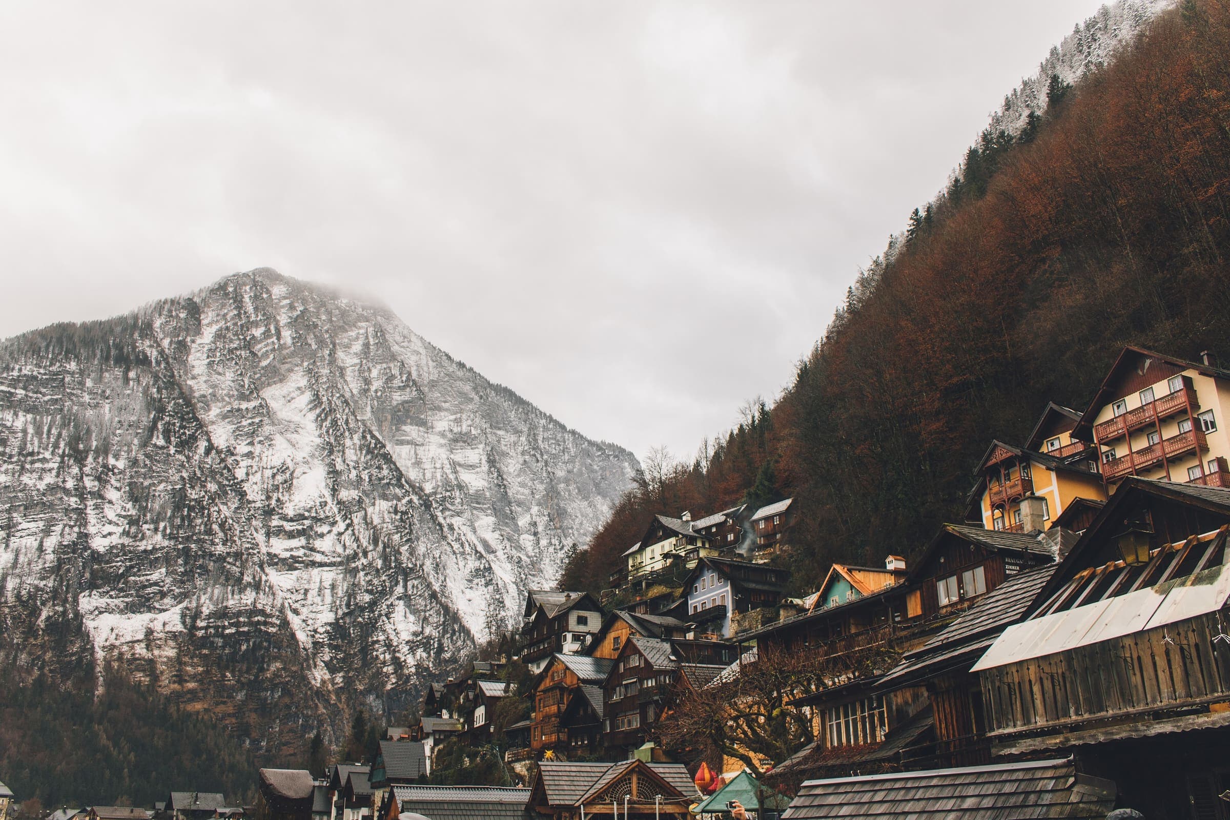
Oberösterreich
Upper Austria — Kremstal monastery country around Stift Schlierbach, between the Alpine foothills and the Traun.

Western Europe
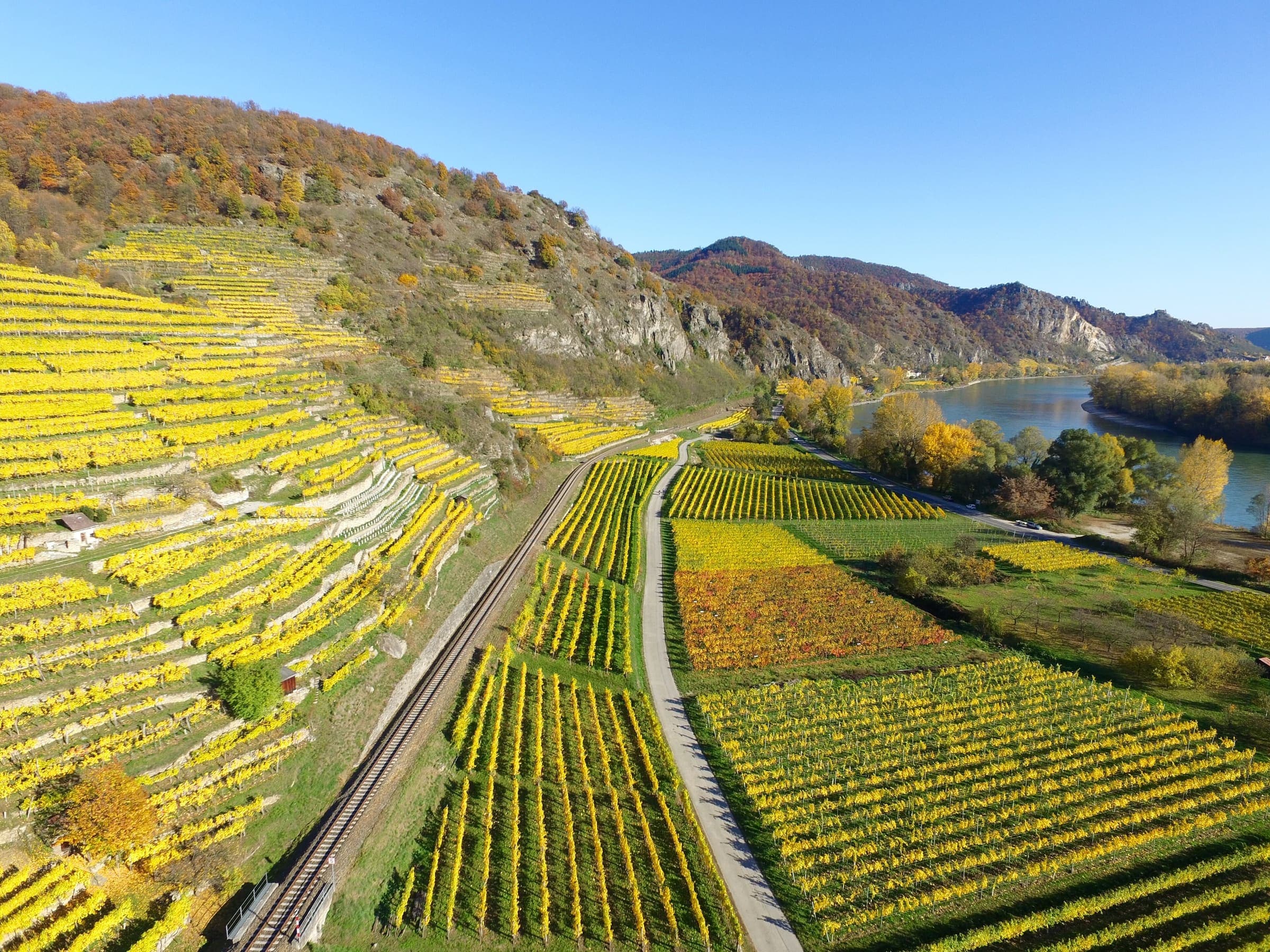
Steiermark
Styria — Graz's hill country, the Erzberg iron region, and the Almenland around Passail.
Western Europe
Niederösterreich
Lower Austria — the Kamp and Pielach valleys, Mostviertel pilgrimage country, and the Waldviertel toward the Nebelstein.
Trails
8 records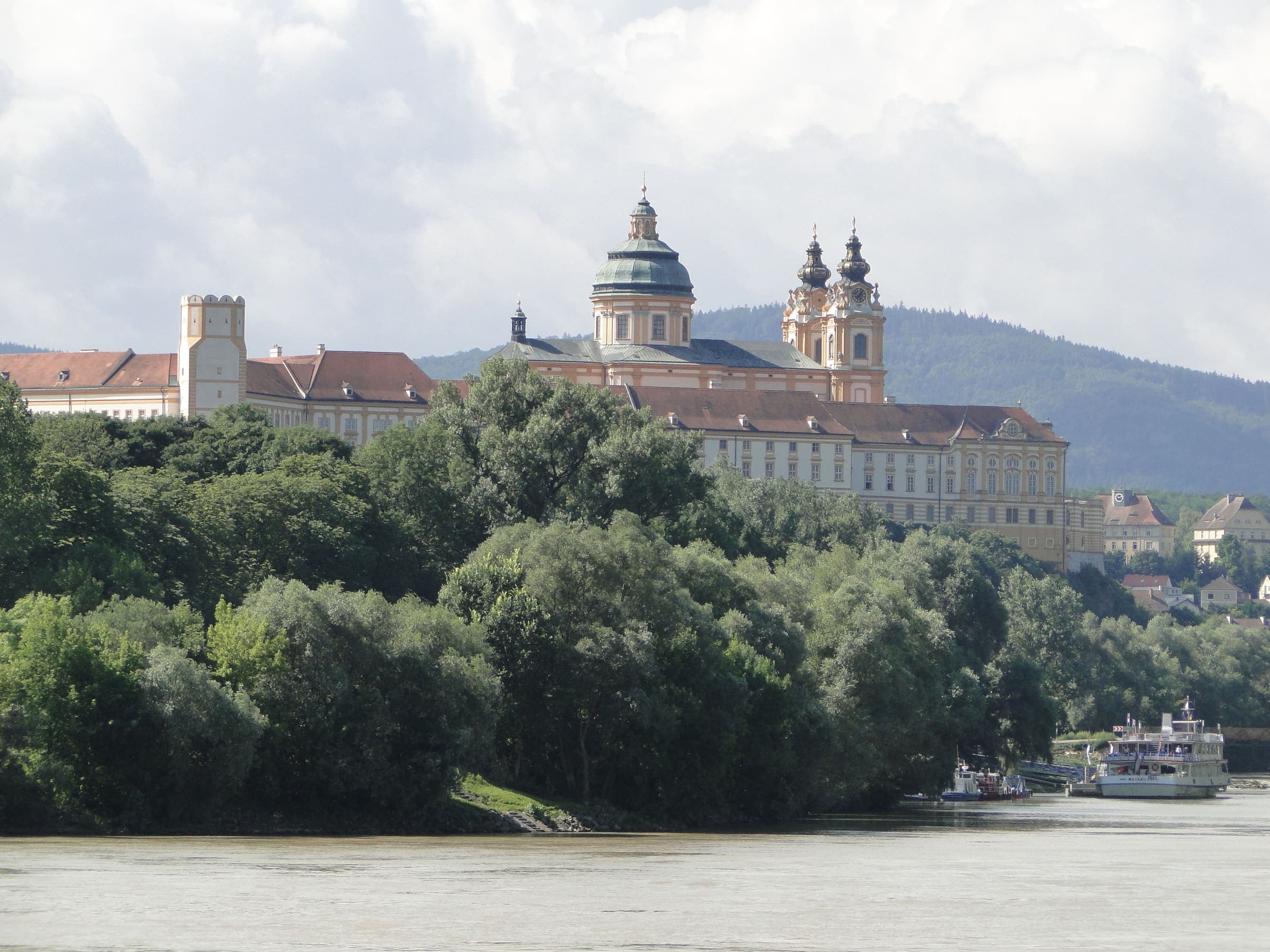
Distance 45.7 km Reported · Ascent provisional (DEM sample) · High point provisional (DEM sample) · T2 · OSM route
Benedikt-Pilgerrundweg Kremstal
Reported OSM relation: Benedikt-Pilgerrundweg Kremstal, Stift Schlierbach loop, 45.7 km OSM 2-D. Vertical figures sampled from Copernicus GLO-30.

Distance 129.2 km Reported · High point provisional (DEM sample) · T2 · OSM route
Grabenlandtrail
Reported OSM relation: Grabenlandtrail, Fernitz loop (Südoststeiermark), 129.2 km OSM 2-D. Vertical figures sampled from Copernicus GLO-30.
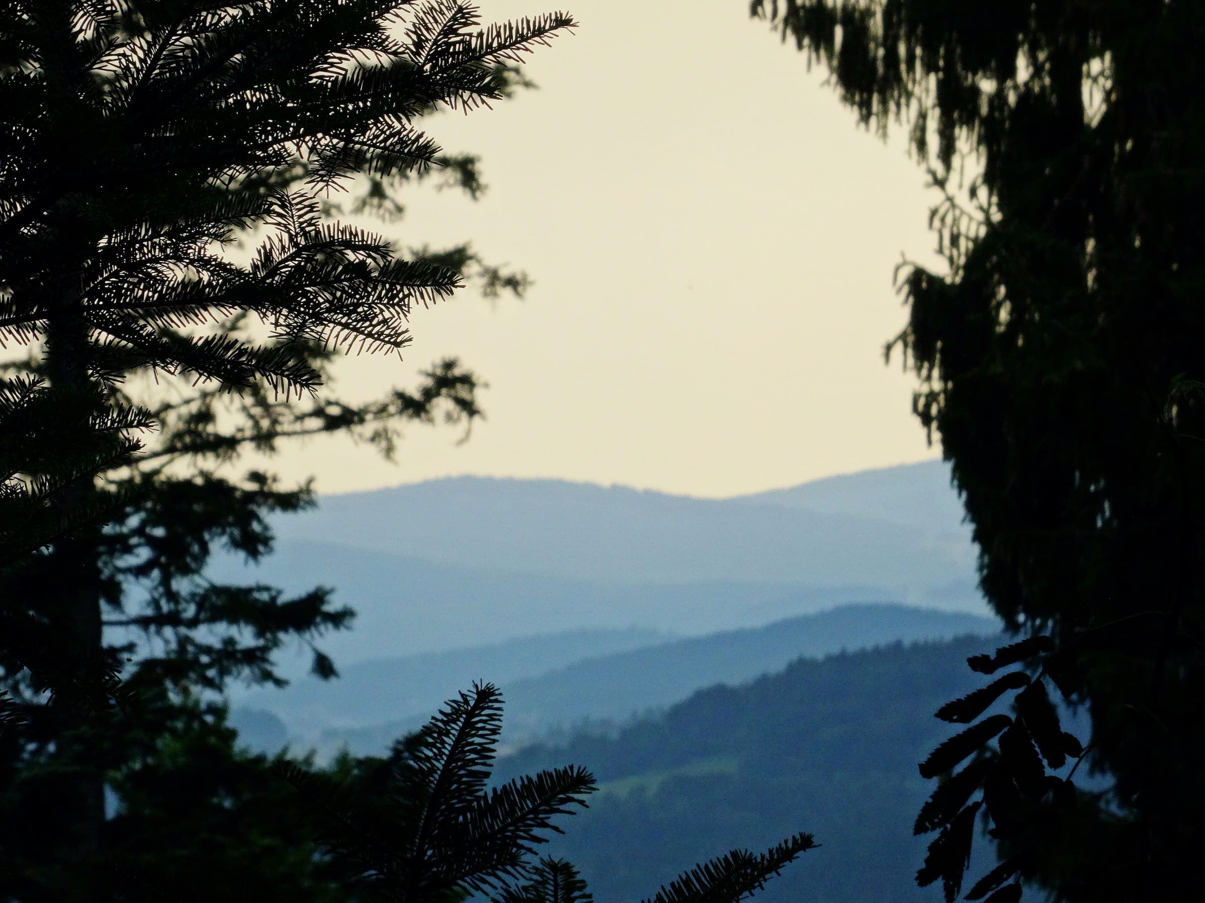
Distance 98.6 km Reported · High point provisional (DEM sample) · T2 · OSM route
Kamptalseenweg 620
Reported OSM relation: Kamptalseenweg 620, Rosenburg to Nebelstein, 98.6 km OSM 2-D. Vertical figures sampled from Copernicus GLO-30.
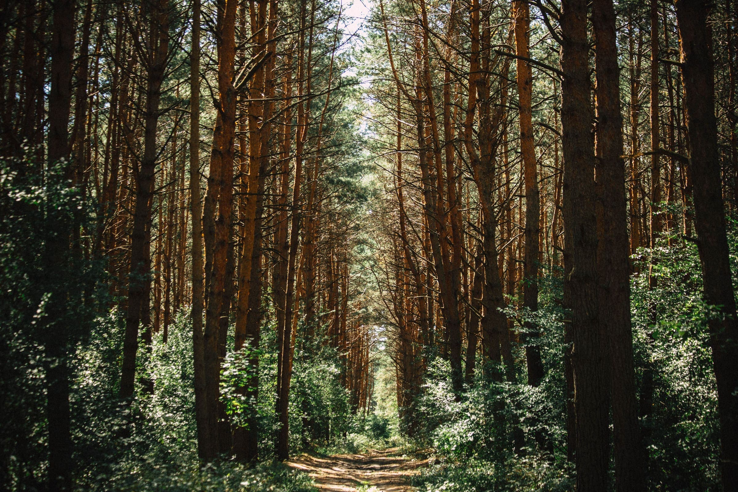
Distance 32.3 km Reported · Ascent provisional (DEM sample) · High point provisional (DEM sample) · T2 · OSM route
Manker Wallfahrerweg
Reported OSM relation: Manker Wallfahrerweg, St. Pölten to Mank, 32.3 km OSM 2-D. Vertical figures sampled from Copernicus GLO-30.
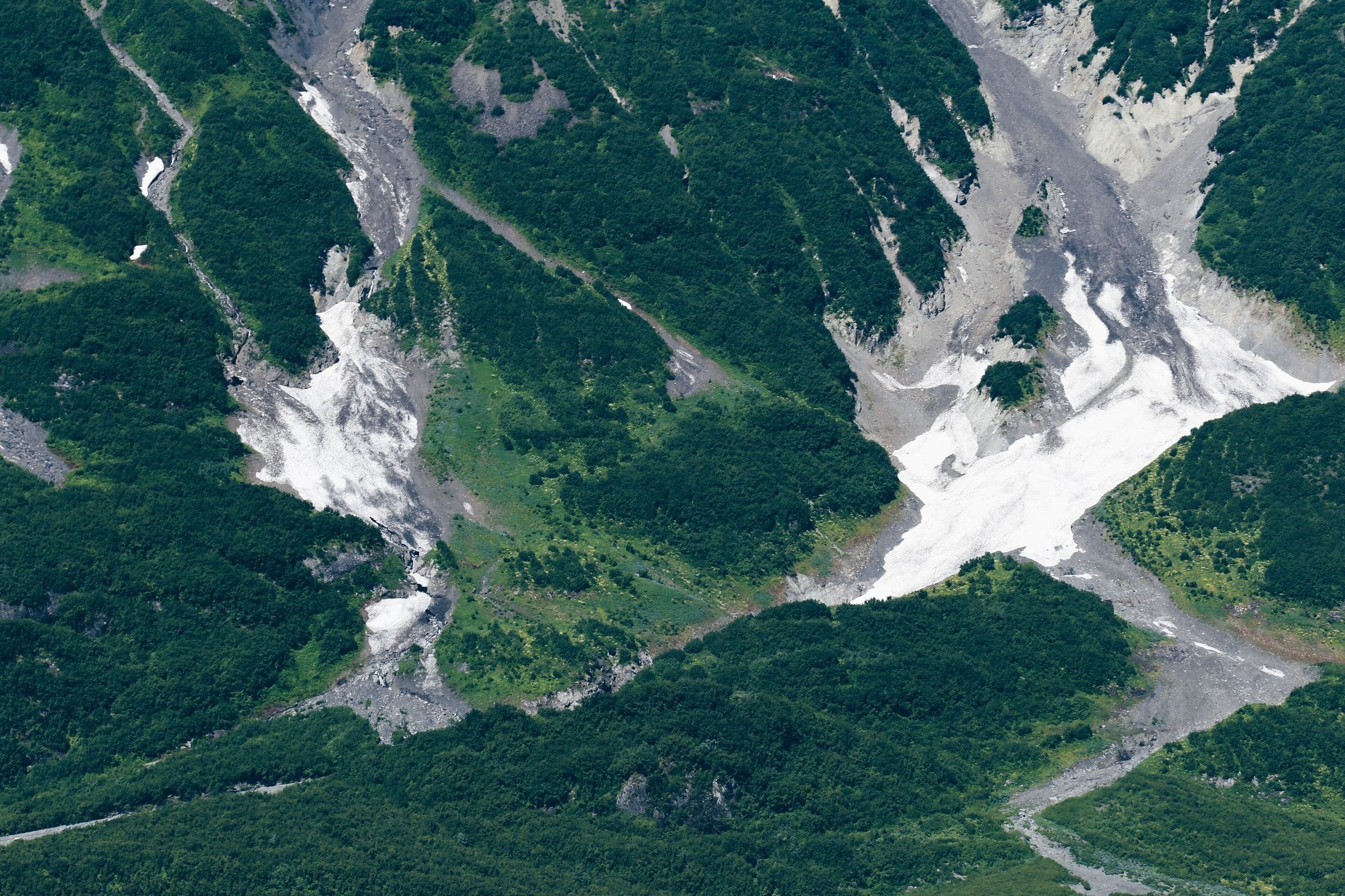
Distance 80.4 km Reported · High point provisional (DEM sample) · T2 · OSM route
Pielachtaler Pilgerweg
Reported OSM relation: Pielachtaler Pilgerweg, St. Pölten to Mariazell, 80.4 km OSM 2-D. Vertical figures sampled from Copernicus GLO-30.

Distance 85.5 km Reported · High point provisional (DEM sample) · 4d · SAC T2
Sebaldusweg
Reported OSM relation: Sebaldusweg, Großraming loop (Ennstal), 85.5 km OSM 2-D. Vertical figures sampled from Copernicus GLO-30.
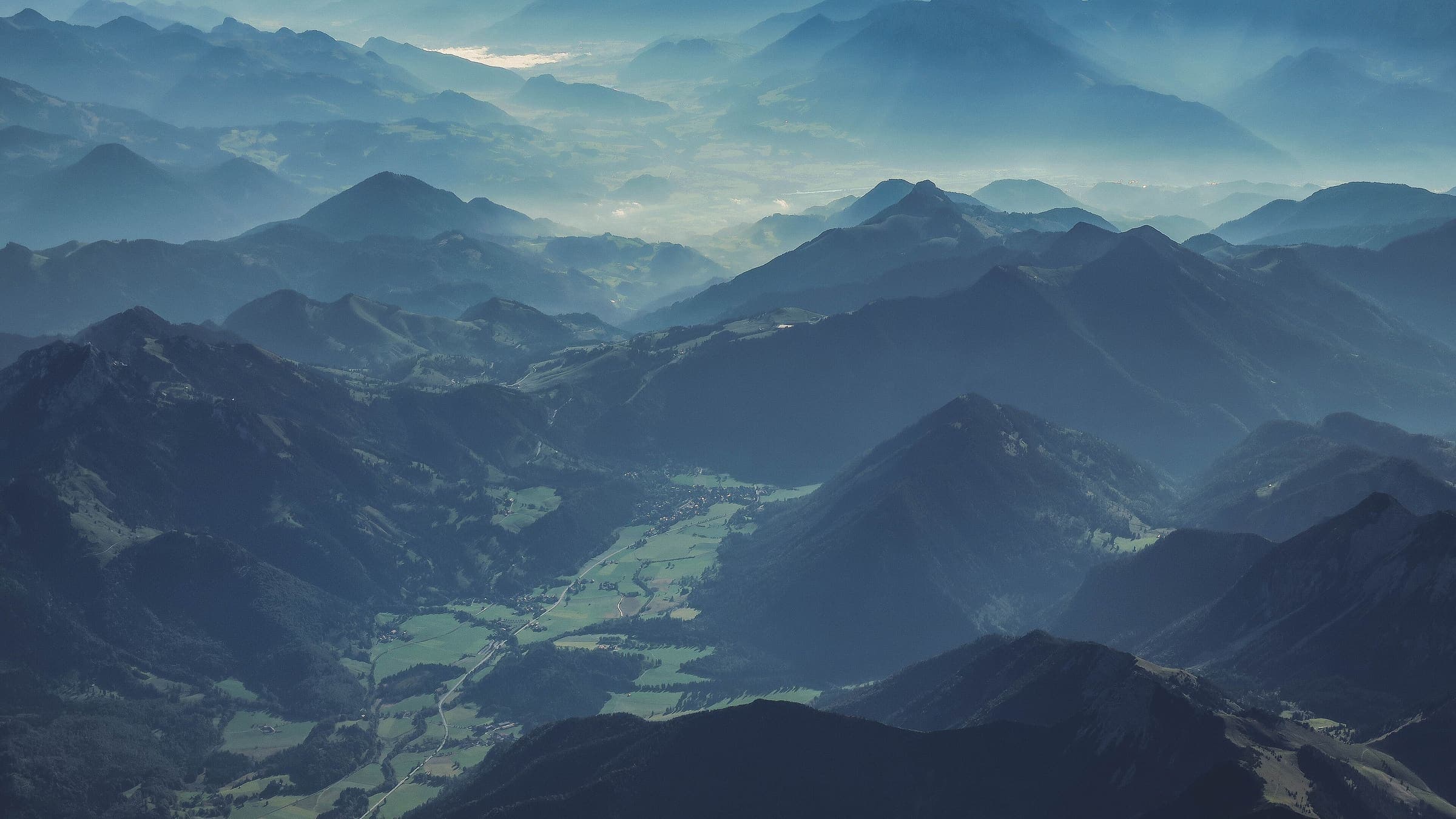
Distance 204.3 km Reported · High point provisional (DEM sample) · 10d · SAC T2
Styrian Iron Trail
Reported OSM relation: Styrian Iron Trail, St. Michael to Leoben, 204.3 km OSM 2-D. Vertical figures sampled from Copernicus GLO-30.
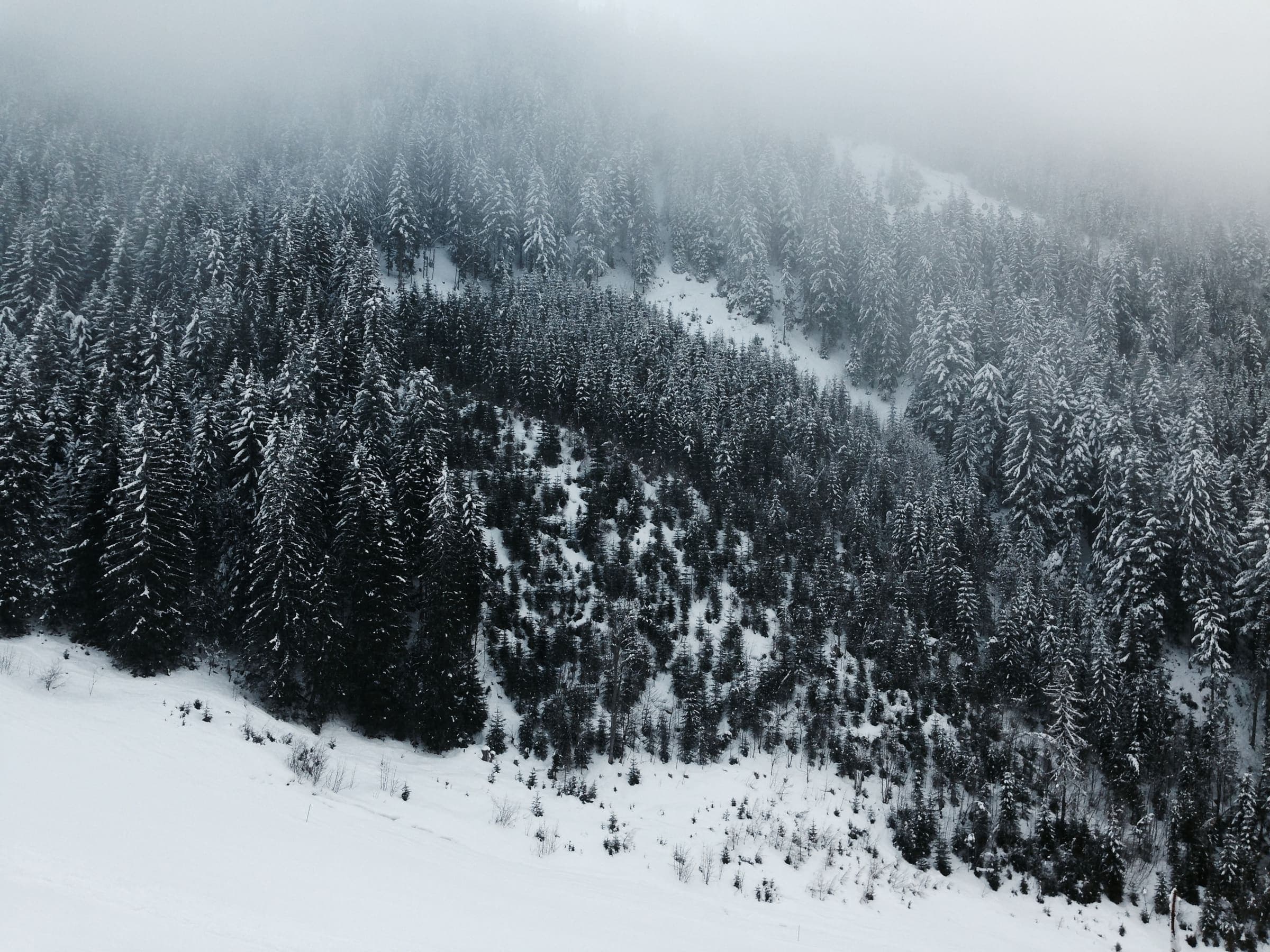
Distance 87.9 km Reported · High point provisional (DEM sample) · 6d · SAC T2
Weg der 100.000 Schritte
Reported OSM relation: Weg der 100.000 Schritte, Arzberg loop (Passailer Kessel), 87.9 km OSM 2-D. Vertical figures sampled from Copernicus GLO-30.