
Hiking trails in Niederösterreich
Austria · AT
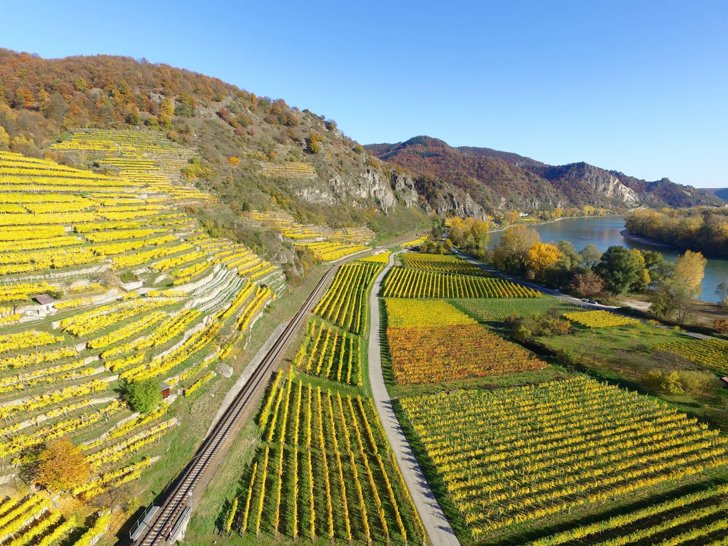
Lower Austria — the Kamp and Pielach valleys, Mostviertel pilgrimage country, and the Waldviertel toward the Nebelstein.
Key facts
Each figure is the stored value and its tier. A blank cell was not recorded.
| Trail | Distance | High point | Permit |
|---|---|---|---|
| Kamptalseenweg 620 | 98.6 km · Reported | 1007 m · provisional (DEM sample) | Unverified |
| Manker Wallfahrerweg | 32.3 km · Reported | 342 m · provisional (DEM sample) | Unverified |
| Pielachtaler Pilgerweg | 80.4 km · Reported | 1082 m · provisional (DEM sample) | Unverified |
Map loads when this section is on screen.
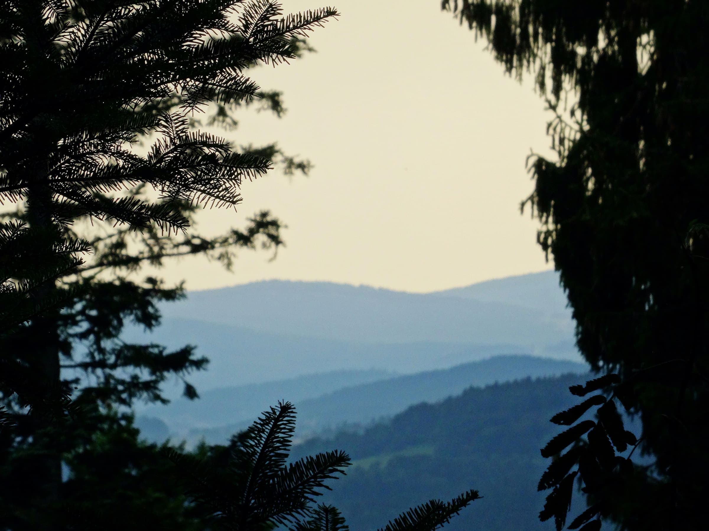
Distance 98.6 km Reported · High point provisional (DEM sample) · T2 · OSM route
Kamptalseenweg 620
Reported OSM relation: Kamptalseenweg 620, Rosenburg to Nebelstein, 98.6 km OSM 2-D. Vertical figures sampled from Copernicus GLO-30.

Distance 32.3 km Reported · Ascent provisional (DEM sample) · High point provisional (DEM sample) · T2 · OSM route
Manker Wallfahrerweg
Reported OSM relation: Manker Wallfahrerweg, St. Pölten to Mank, 32.3 km OSM 2-D. Vertical figures sampled from Copernicus GLO-30.
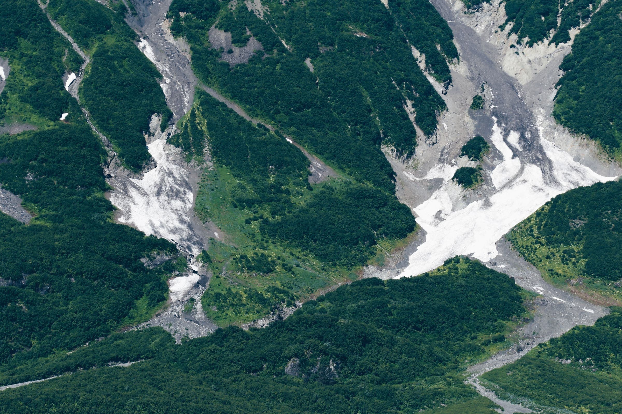
Distance 80.4 km Reported · High point provisional (DEM sample) · T2 · OSM route
Pielachtaler Pilgerweg
Reported OSM relation: Pielachtaler Pilgerweg, St. Pölten to Mariazell, 80.4 km OSM 2-D. Vertical figures sampled from Copernicus GLO-30.