
Hiking trails in Ladakh
India · IN
High Trans-Himalayan desert — marquee records and additional traverses. Markha Valley (Hemis NP fee), Kang Yatse approach (not the summit), Stok La, and Likir La (high pass NE of Likir, not the Sham Valley walk); Stok Kangri is a closed Mountain Guide, not a trail. Traverses: Stok to Tsomoriri, Pang to Tsomoriri (Rupshu), Sarchu to Pukthal Gompa, and Sko Koh valley lakes.
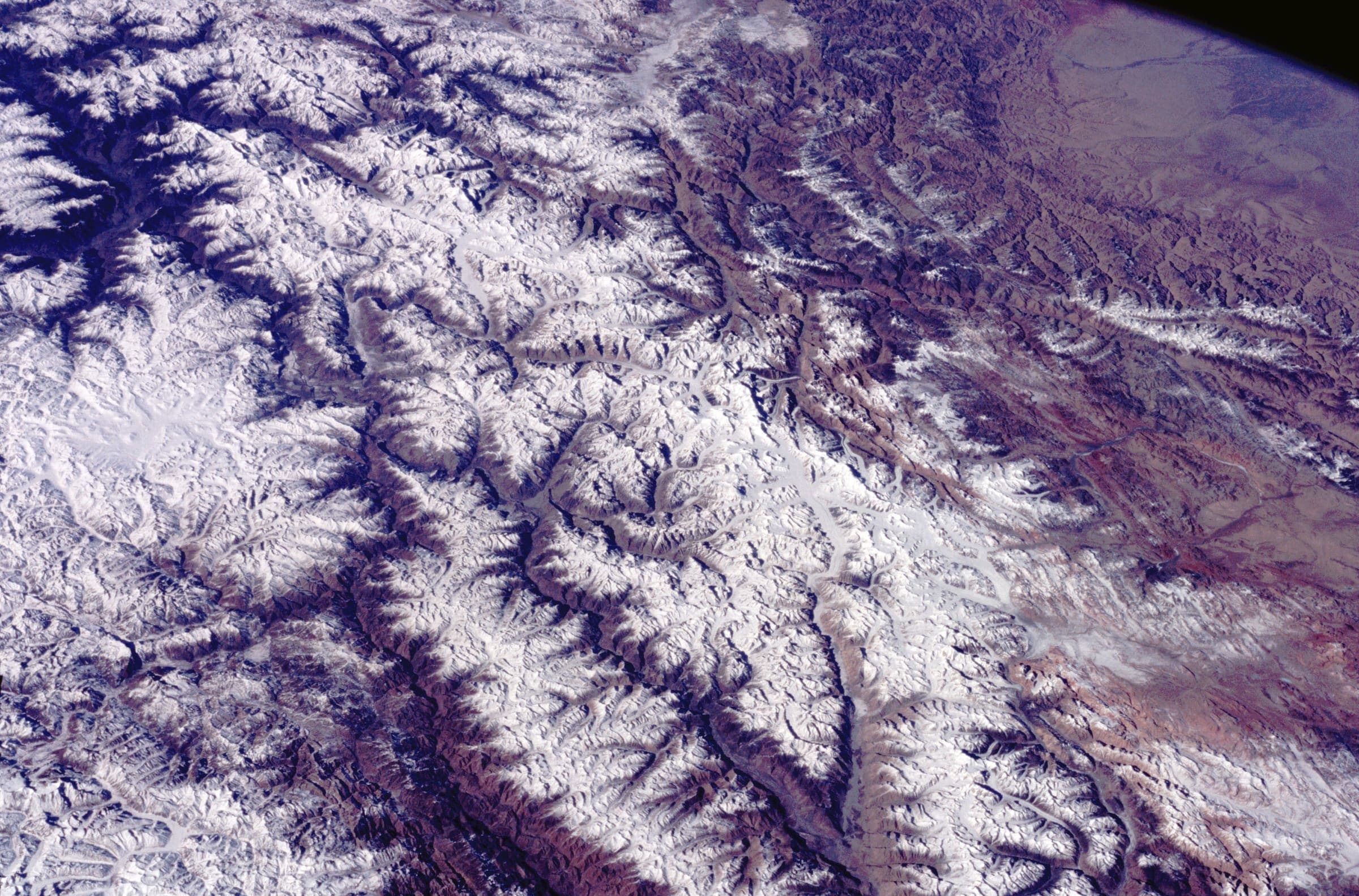
Key facts
Each figure is the stored value and its tier. A blank cell was not recorded.
| Trail | Distance | High point | Permit |
|---|---|---|---|
| Markha Valley | 64.52 km · Reported | 4929 m · provisional (DEM sample) | Unverified |
| Kang Yatse approach | 7.21 km · Reported | 6200 m · provisional (DEM sample) | Unverified |
| Stok La | 14.47 km · Reported | 4868 m · provisional (DEM sample) | Unverified |
| Likir La | 30.75 km · Reported | 5492 m · provisional (DEM sample) | Unverified |
| Stok to Tsomoriri | 172.35 km · Reported | 5431 m · provisional (DEM sample) | Unverified |
| Pang to Tsomoriri | 97.99 km · Reported | 5003 m · provisional (DEM sample) | Unverified |
| Sarchu to Pukthal Gompa | 71.42 km · Reported | 5131 m · provisional (DEM sample) | Unverified |
| Sko Koh valley lakes | 33.63 km · Reported | 5590 m · provisional (DEM sample) | Unverified |
Map loads when this section is on screen.
Trails
Hikes in Ladakh
Distance 7.21 km Reported · Ascent provisional (DEM sample) · High point provisional (DEM sample) · T2 · OSM route
Kang Yatse approach
OSM hiking route to the Kang Yatse approach, Ladakh (7.21 km line), not the 6,250 m summit. DEM high is the approach. Vertical figures from the GLO-30 resample. Days unknown.
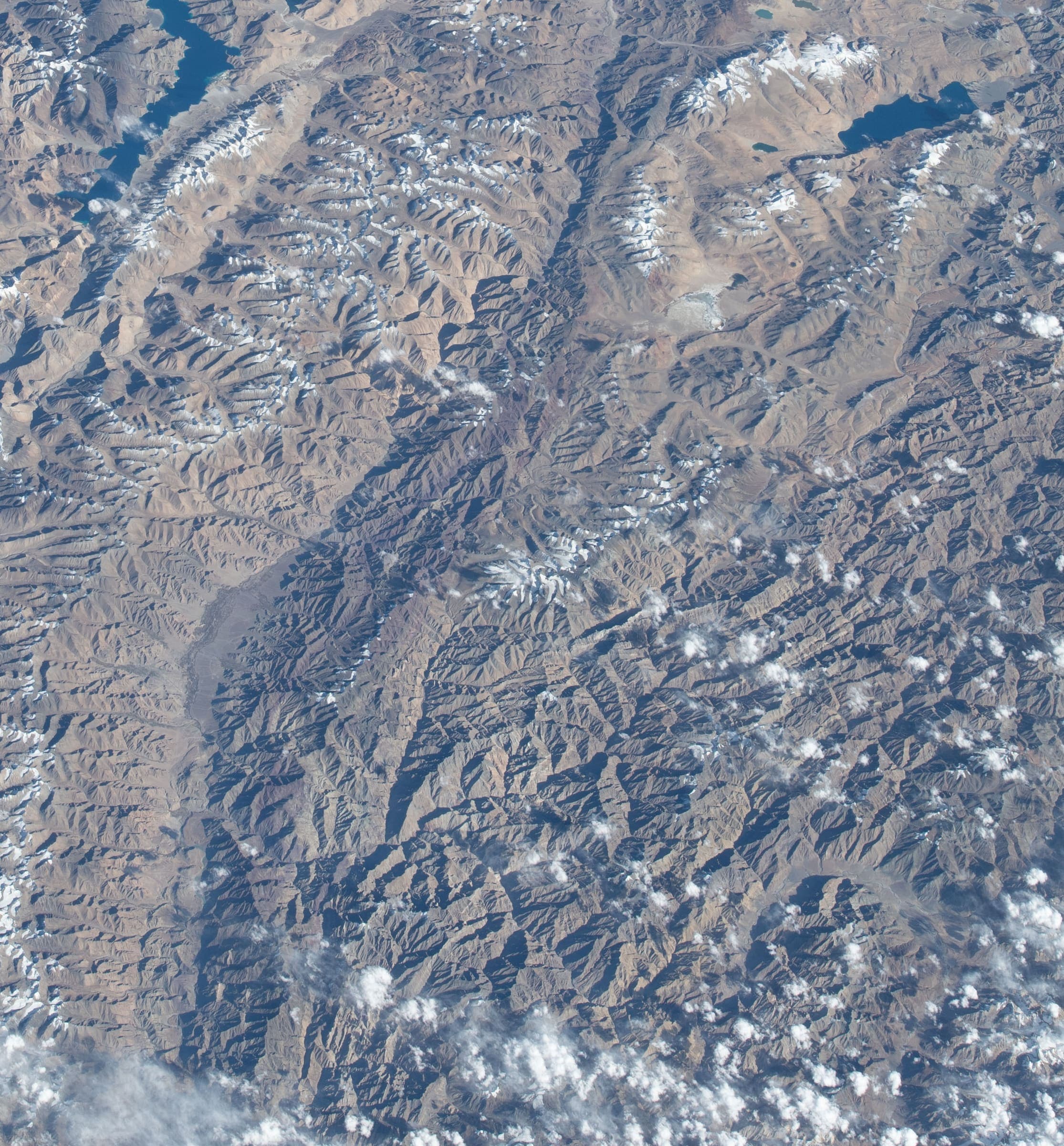
Distance 30.75 km Reported · Ascent provisional (DEM sample) · High point provisional (DEM sample) · T2 · OSM route
Likir La
OSM hiking route Likir La, Ladakh (30.75 km high-pass / high-ridge crossing NE of Likir; DEM crest 5,492 m). Single-way OSM line. Vertical figures from the GLO-30 resample. Days unknown.
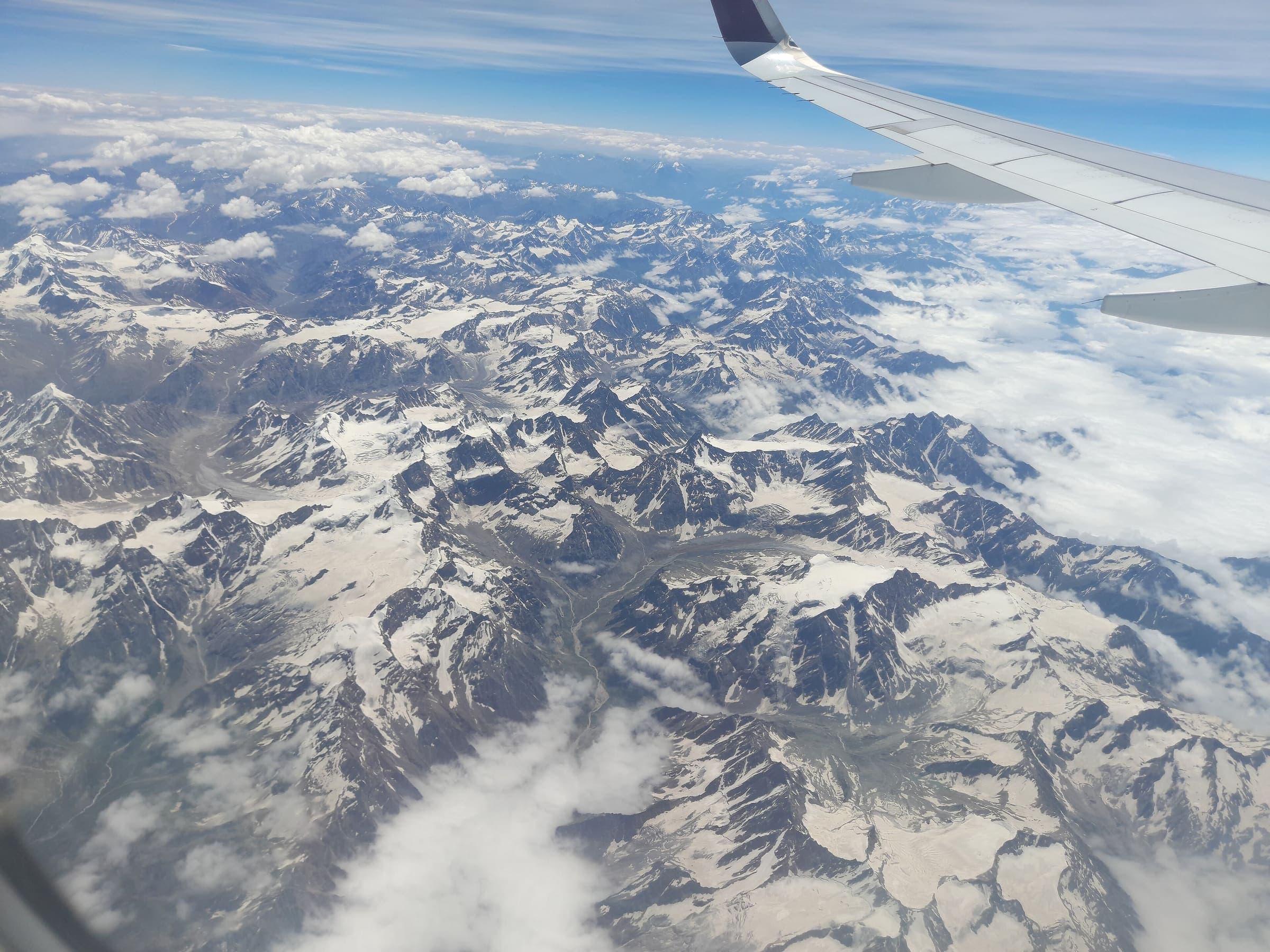
Distance 64.52 km Reported · High point provisional (DEM sample) · T2 · OSM route
Markha Valley
OSM hiking route Markha Valley, Ladakh (64.52 km Zangla–Markha line), not the short Chilling–Skiu circuit. Hemis NP fee required. DEM high is the mapped line, not Kongmaru La. Vertical figures from the GLO-30 resample. Days unknown.
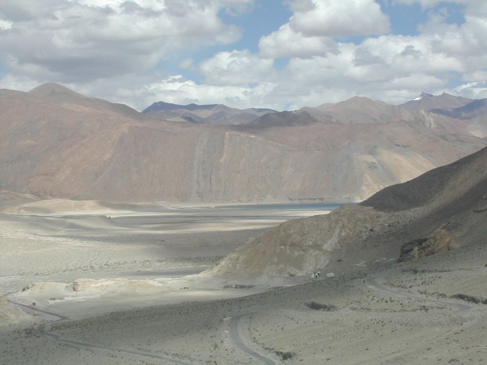
Distance 97.99 km Reported · High point provisional (DEM sample) · T1 · OSM route
Pang to Tsomoriri
OSM hiking traverse Pang to Tsomoriri, Ladakh (97.99 km Rupshu plateau line). OSM tag=P2T is not the name. Vertical figures from the GLO-30 resample. Days unknown. additional.
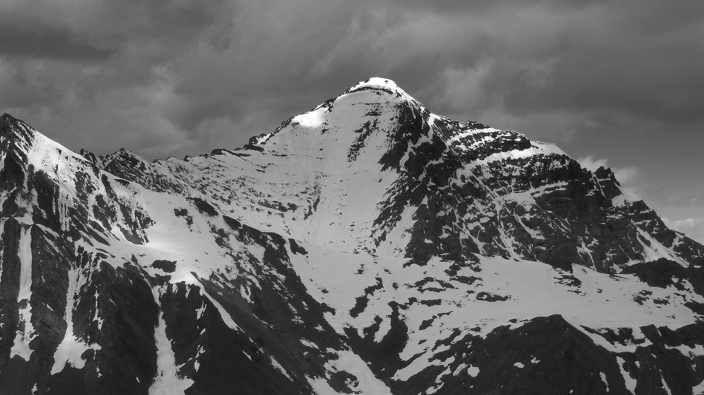
Distance 71.42 km Reported · High point provisional (DEM sample) · T2 · OSM route
Sarchu to Pukthal Gompa
OSM hiking traverse Sarchu to Pukthal Gompa, Ladakh (71.42 km Zanskar line). Member ways untagged; SAC ungraded. Vertical figures from the GLO-30 resample. Days unknown. additional.
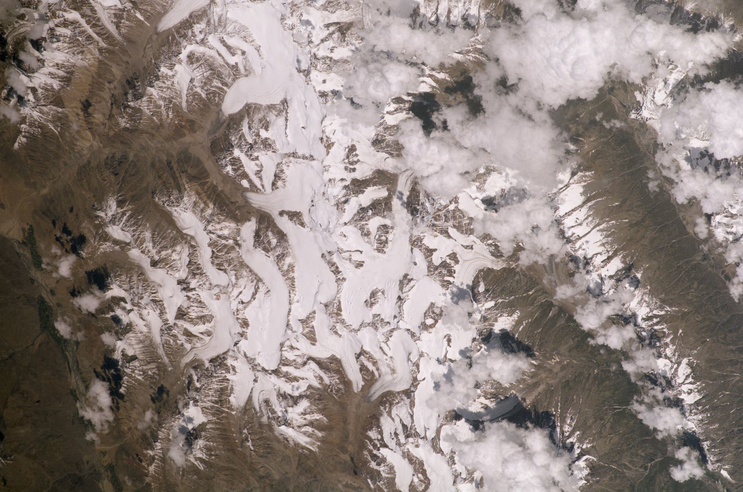
Distance 33.63 km Reported · High point provisional (DEM sample) · T2 · OSM route
Sko Koh valley lakes
OSM hiking traverse Sko Koh valley lakes, Ladakh (33.63 km line ending in a lakes basin). Member ways untagged; SAC ungraded. Vertical figures from the GLO-30 resample. Days unknown. additional.
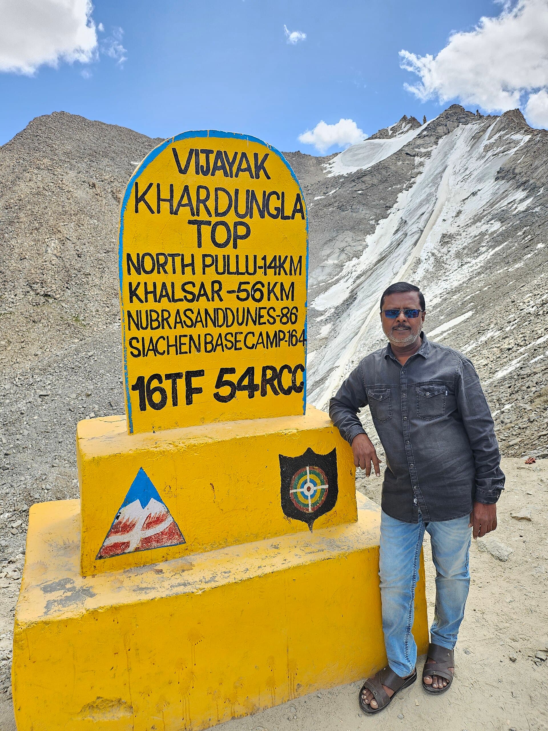
Distance 14.47 km Reported · Ascent provisional (DEM sample) · High point provisional (DEM sample) · T2 · OSM route
Stok La
OSM hiking route Stok La, Ladakh (14.47 km Stok→Rumbak line). Not the closed Stok Kangri approach. Vertical figures from the GLO-30 resample. Days unknown.
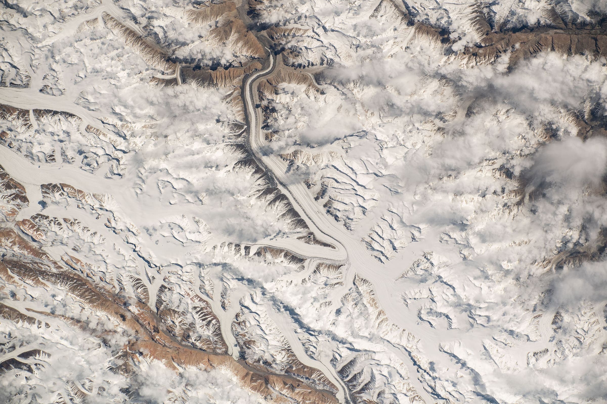
Distance 172.35 km Reported · High point provisional (DEM sample) · T3 · OSM route
Stok to Tsomoriri
OSM hiking traverse Stok to Tsomoriri, Ladakh (172.35 km nwn line over a dozen passes). Not Stok La. Vertical figures from the GLO-30 resample. Days unknown. additional.