
India · catalog list
Best hikes in Ladakh
Every hike this desk holds in Ladakh, shortest stored distance first. This is the catalog, not a scored ranking and not a route planner.
Ladakh region desk · Filter by grade, duration, and permit
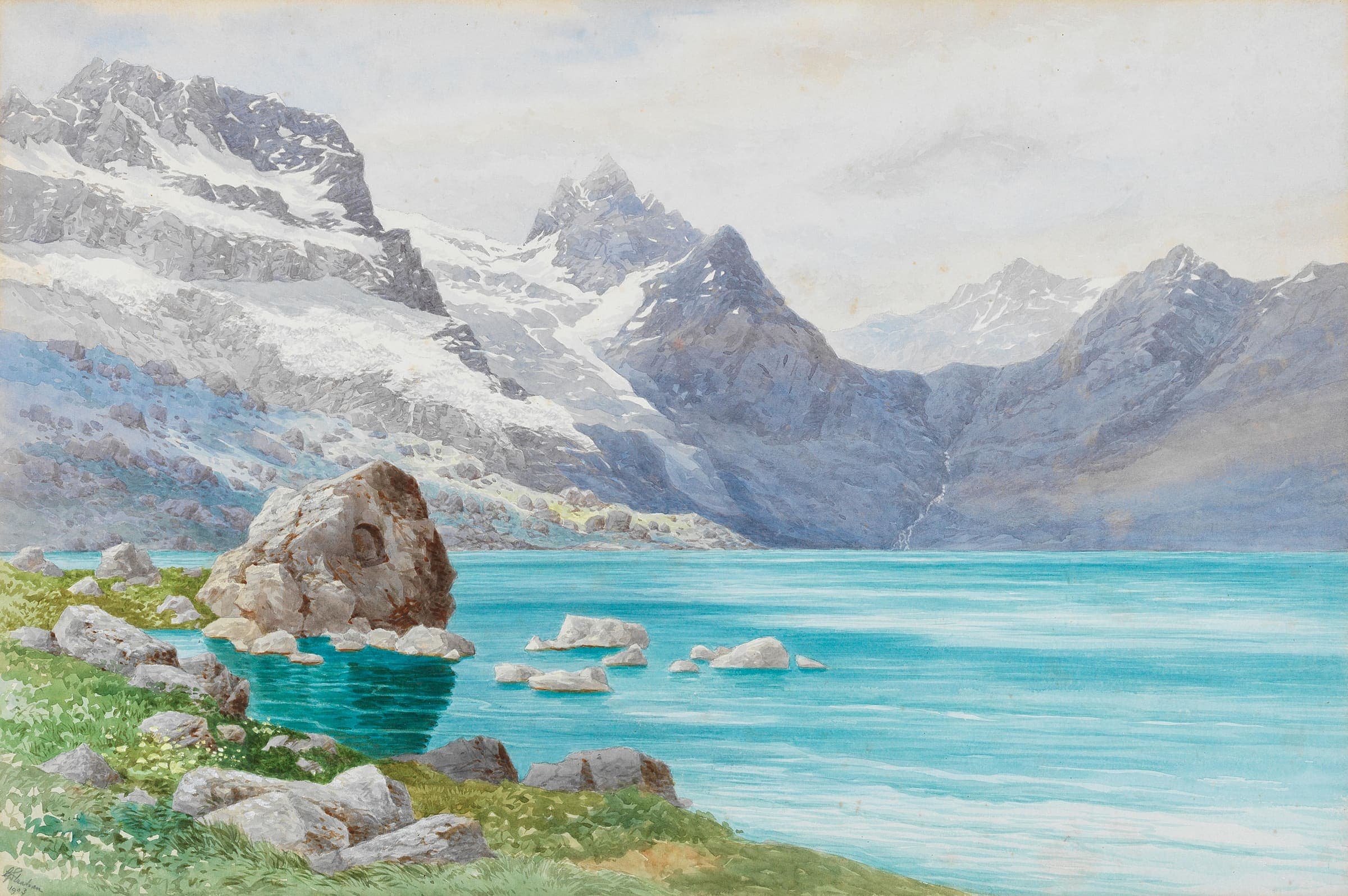
SAC T2 (mapped — no official SAC grade) · YDS 1
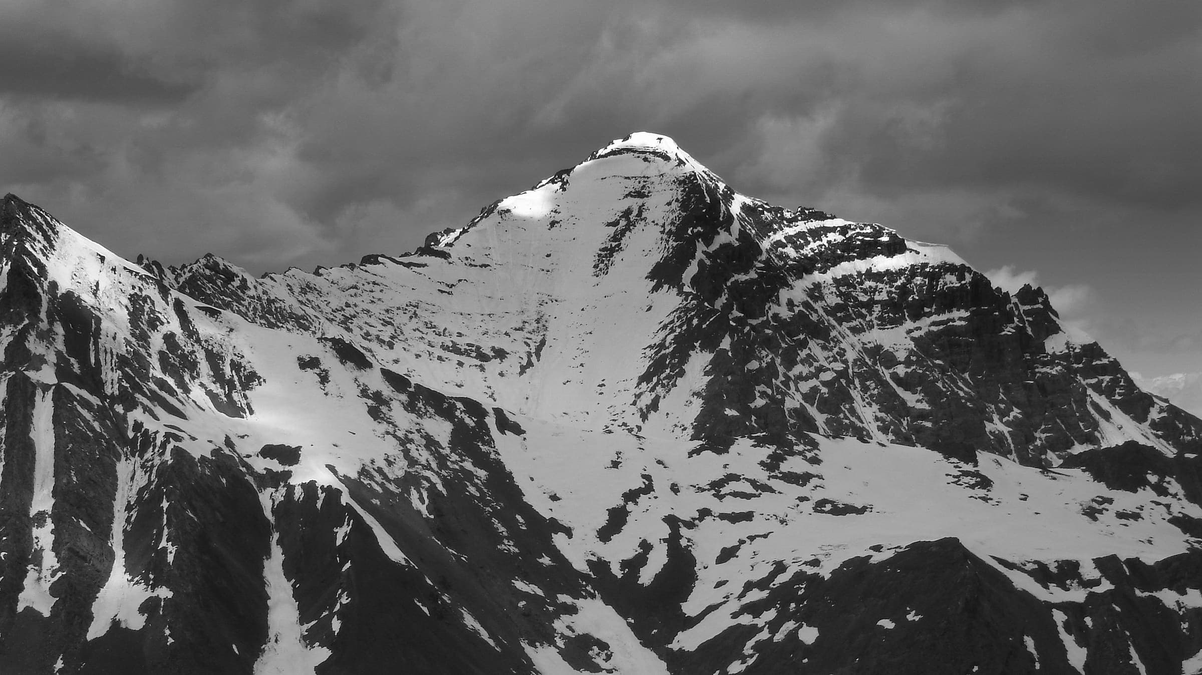
Kang Yatse approach
OSM hiking route to the Kang Yatse approach, Ladakh (7.21 km line), not the 6,250 m summit. DEM high is the approach. Vertical figures from the Wave I-5 GLO-30 resample. Days unknown.
7.21 km · 1 days · permit-free on this record
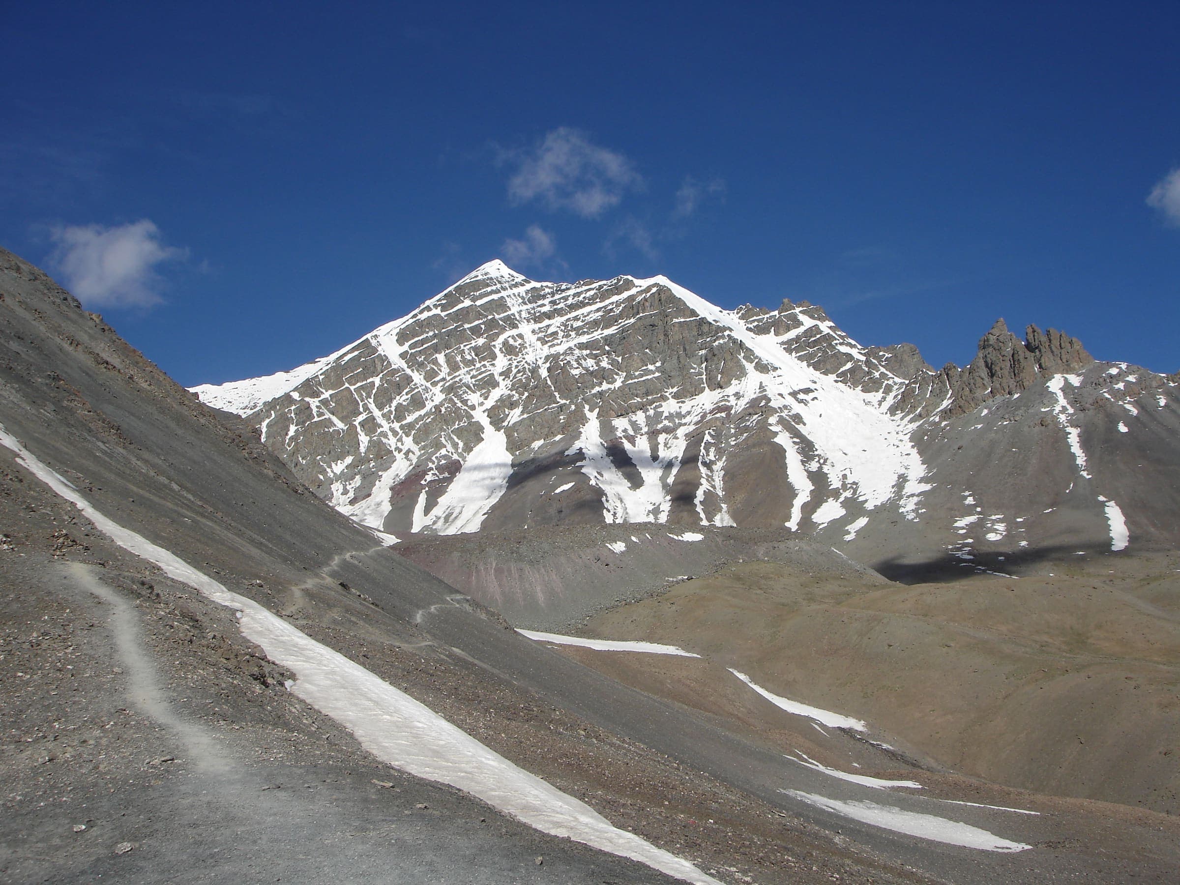
SAC T2 (mapped — no official SAC grade) · YDS 1
Stok La
OSM hiking route Stok La, Ladakh (14.47 km Stok→Rumbak line). Not the closed Stok Kangri approach. Vertical figures from the Wave I-5 GLO-30 resample. Days unknown.
14.47 km · 1 days · permit-free on this record
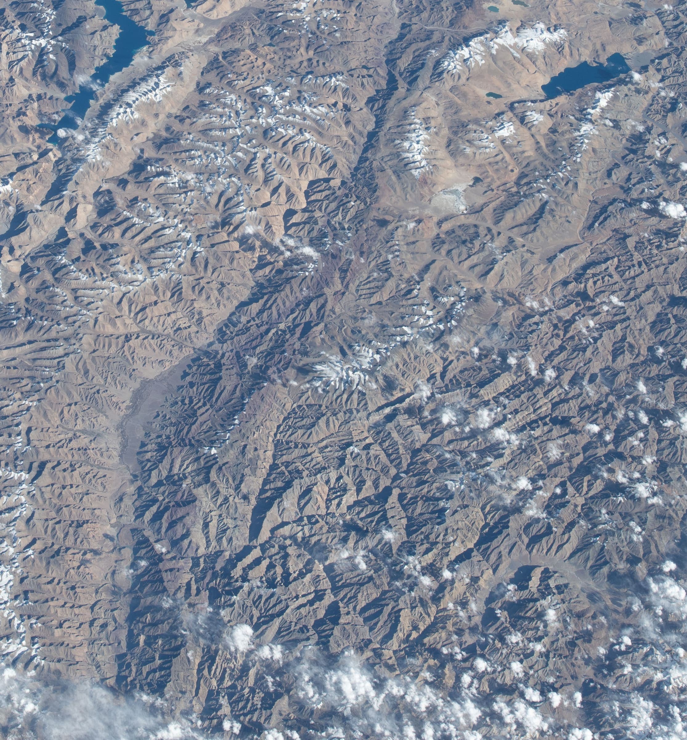
SAC T2 (mapped — no official SAC grade) · YDS 1
Likir La
OSM hiking route Likir La, Ladakh (30.75 km high-pass / high-ridge crossing NE of Likir; DEM crest 5,492 m). Single-way OSM line. Vertical figures from the Wave I-5 GLO-30 resample. Days unknown.
30.75 km · 3 days · permit-free on this record
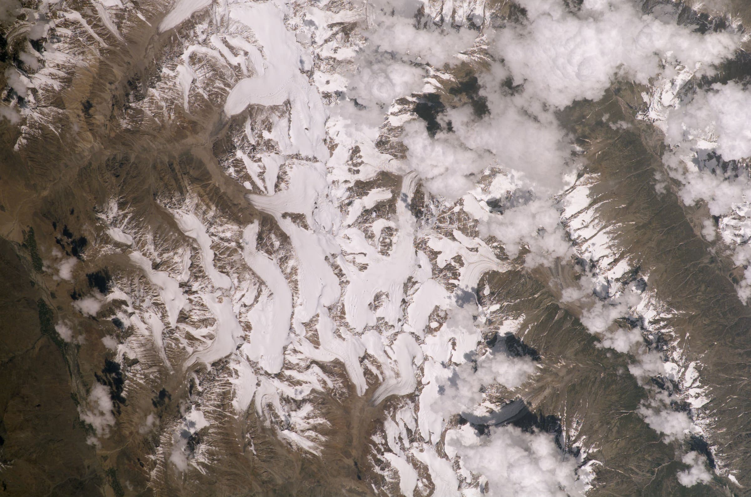
SAC T2 (mapped — no official SAC grade) · YDS 1
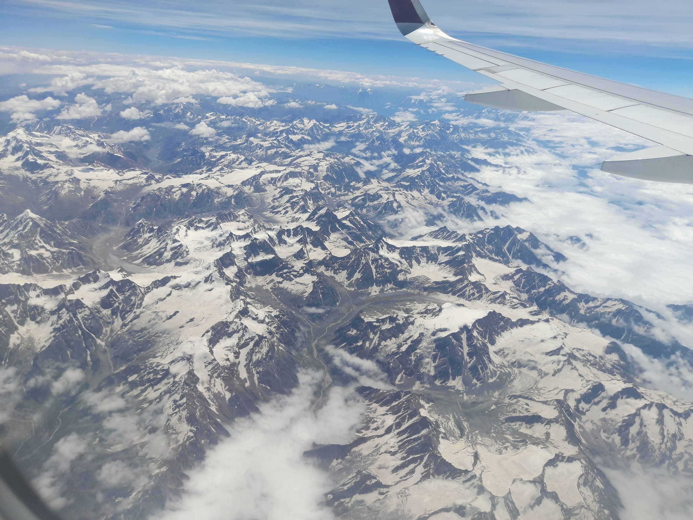
Sko Koh valley lakes
OSM hiking traverse Sko Koh valley lakes, Ladakh (33.63 km line ending in a lakes basin). Member ways untagged; SAC ungraded. Vertical figures from the Wave I-5 GLO-30 resample. Days unknown. Provisional-listed.
33.63 km · 3 days · permit-free on this record
SAC T2 (mapped — no official SAC grade) · YDS 1
Markha Valley
OSM hiking route Markha Valley, Ladakh (64.52 km Zangla–Markha line), not the short Chilling–Skiu circuit. Hemis NP fee required. DEM high is the mapped line, not Kongmaru La. Vertical figures from the Wave I-5 GLO-30 resample. Days unknown.
64.52 km · 5 days · permit
SAC T2 (mapped — no official SAC grade) · YDS 1
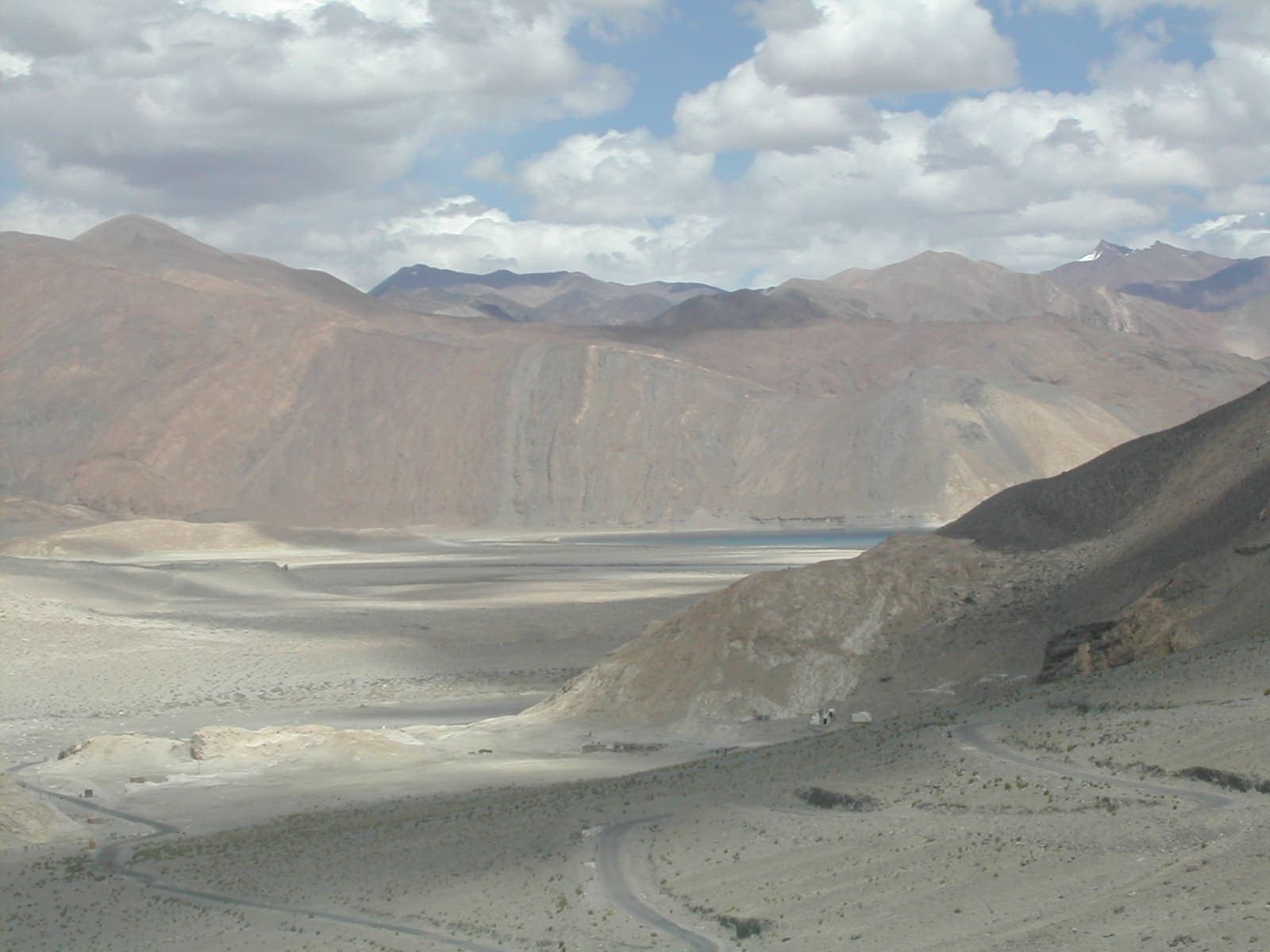
Sarchu to Pukthal Gompa
OSM hiking traverse Sarchu to Pukthal Gompa, Ladakh (71.42 km Zanskar line). Member ways untagged; SAC ungraded. Vertical figures from the Wave I-5 GLO-30 resample. Days unknown. Provisional-listed.
71.42 km · 6 days · permit-free on this record
OSM sac_scale: hiking · SAC T1 · YDS 1
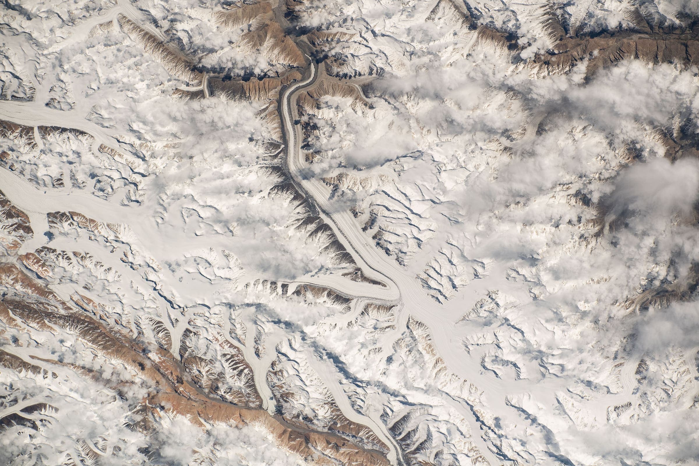
Pang to Tsomoriri
OSM hiking traverse Pang to Tsomoriri, Ladakh (97.99 km Rupshu plateau line). OSM tag=P2T is not the name. Vertical figures from the Wave I-5 GLO-30 resample. Days unknown. Provisional-listed.
97.99 km · 8 days · permit-free on this record
OSM sac_scale: demanding_mountain_hiking · SAC T3 · YDS 2
Stok to Tsomoriri
OSM hiking traverse Stok to Tsomoriri, Ladakh (172.35 km nwn line over a dozen passes). Not Stok La. Vertical figures from the Wave I-5 GLO-30 resample. Days unknown. Provisional-listed.
172.35 km · 14 days · permit-free on this record