
Hiking trails in Gilgit-Baltistan
Pakistan · PK
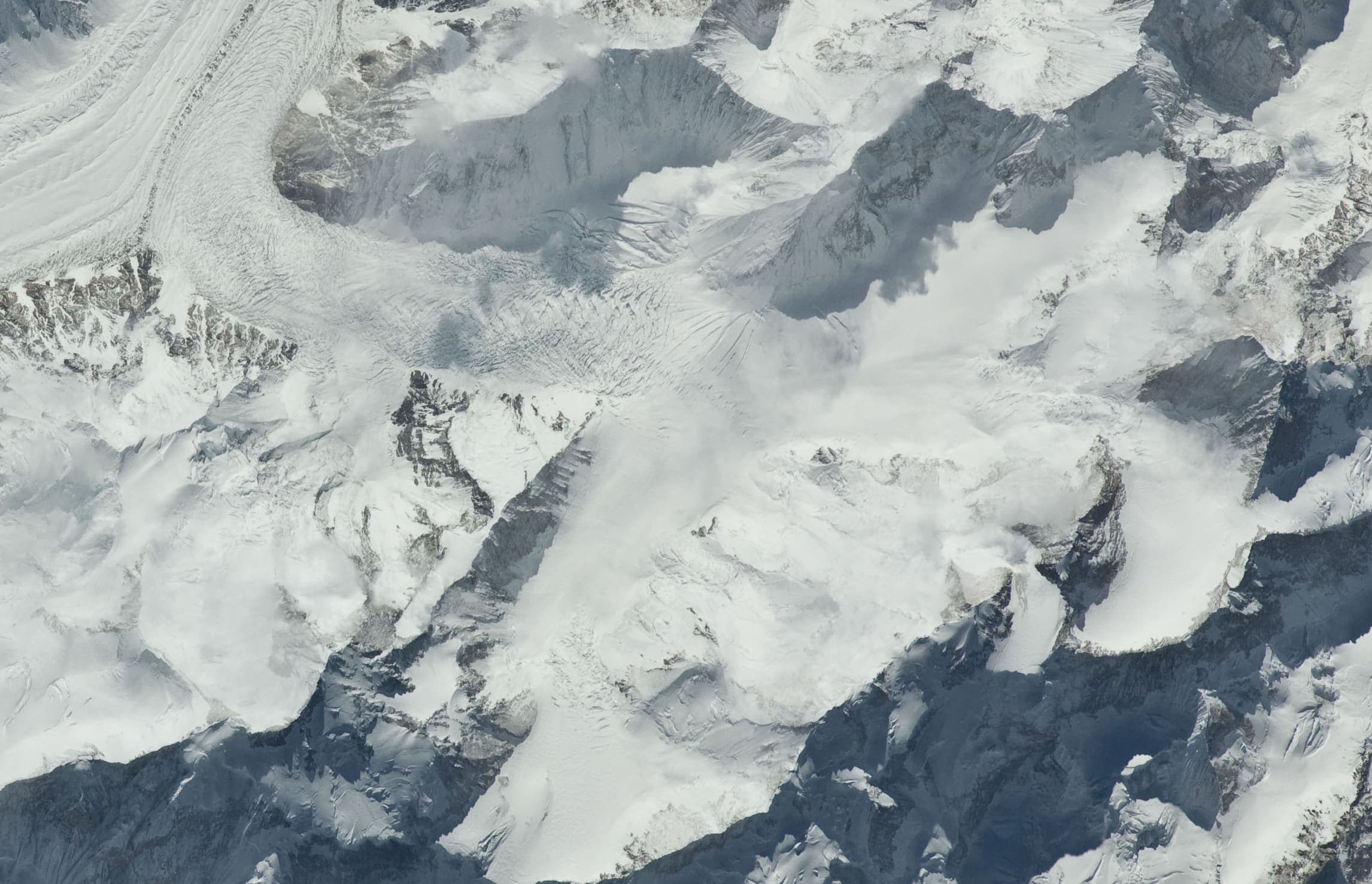
The Karakoram of northern Pakistan — Askole to Concordia and K2 Base Camp on the Baltoro, inside Central Karakoram National Park. Not summit climbing.
Key facts
Each figure is the stored value and its tier. A blank cell was not recorded.
| Trail | Distance | High point | Permit |
|---|---|---|---|
| K2 Base Camp / Concordia | 74.2 km · provisional (round figure) | 4963 m · provisional (DEM sample) | Reported |
| Snow Lake (Hispar–Biafo) | 120 km · provisional (round figure) | 5133 m · provisional (DEM sample) | Reported |
| Rush Lake | 12.83 km · provisional (pin-to-pin derivation) | 4617 m · provisional (DEM sample) | Reported |
| Fairy Meadows and Nanga Parbat Base Camp | 19.43 km · provisional (pin-to-pin derivation) | 3971 m · provisional (DEM sample) | Reported |
| Nanga Parbat Rupal Base Camp | 8.23 km · provisional (pin-to-pin derivation) | 3537 m · provisional (DEM sample) | Reported |
| Rakaposhi Base Camp | 6.52 km · provisional (pin-to-pin derivation) | 3442 m · provisional (DEM sample) | Reported |
| Patundas | 11.68 km · provisional (pin-to-pin derivation) | 4115 m · provisional (DEM sample) | Reported |
| Deosai Plains | Not published | 4137 m · provisional (DEM sample) | Reported |
| Naltar Valley | 22.07 km · provisional (pin-to-pin derivation) | 4665 m · provisional (DEM sample) | Reported |
| Passu Glacier | 4.49 km · provisional (pin-to-pin derivation) | 3136 m · provisional (DEM sample) | Reported |
Map loads when this section is on screen.
Distance 74.2 km provisional (round figure) · High point provisional (DEM sample) · 14d · SAC T3
K2 Base Camp / Concordia
Curated schematic — not walking distance. Pin-to-pin OSM named-waypoint line from Askole via Concordia to K2 Base Camp, 74.2 km. Not a summit line to K2. Vertical figures are a GLO-30 sample of those pins, not a walking profile. typicalDays 14 is a published two-week window (typical, not a statute).
Distance 120 km provisional (round figure) · High point provisional (DEM sample) · T3 · schematic
Snow Lake (Hispar–Biafo)
Schematic Askole → Hispar La → Hispar. Not a GPS track. About 120 km is the editorial headline, not the pin spacing. DEM high 5,133 m is Hispar La. CKNP Core Zone park fee.
High point provisional (DEM sample) · 1d · SAC T2
Deosai Plains
Schematic Skardu, Sheosar Lake, Deosai Pass, Astore. Not a single tread and not walking distance. Park boundary was not used as the route. Astore's tagged elevation 8,353 m was rejected; DEM at the town is 2,447 m. Sheosar DEM 4,137 m is the high pin.
Distance 19.43 km provisional (pin-to-pin derivation) · High point provisional (DEM sample) · 1d · SAC T3
Fairy Meadows and Nanga Parbat Base Camp
Schematic Raikot Bridge, Tato, Fairy Meadows, Raikot-side base camp. Not a GPS track. Nanga Parbat 8,126 m is a landmark. DEM high 3,971 m is the camp. The Diamir-face camp is a different approach and is not on this line.
Distance 22.07 km provisional (pin-to-pin derivation) · High point provisional (DEM sample) · 1d · SAC T3
Naltar Valley
Schematic Naltar hotel stand-in to Naltar Pass. The named lakes were not in OSM. DEM high 4,665 m is the pass and may sit above a lake walk. Not a GPS track.
Distance 8.23 km provisional (pin-to-pin derivation) · High point provisional (DEM sample) · T3 · schematic
Nanga Parbat Rupal Base Camp
Schematic Rupal village to the Rupal-side base camp. Tarashing was unresolved and is not drawn. Nanga Parbat 8,126 m and the Rupal Face are landmarks. DEM high 3,537 m is the camp.
Distance 4.49 km provisional (pin-to-pin derivation) · High point provisional (DEM sample) · 1d · SAC T3
Passu Glacier
Schematic Passu village to Passu Glacier View hike. Not a GPS track. DEM high 3,136 m. Passu Peak 7,243 m is a landmark. Glacier polygon is a feature, not this line. Batura / Yunz stays a separate held record.
Distance 11.68 km provisional (pin-to-pin derivation) · High point provisional (DEM sample) · T3 · schematic
Patundas
Schematic Passu, Borith Lake, Patundas. A glacier viewpoint, not a summit. DEM high 4,115 m. Not a GPS track.
Distance 6.52 km provisional (pin-to-pin derivation) · High point provisional (DEM sample) · T3 · schematic
Rakaposhi Base Camp
Schematic Minapin, Hapakun, Rakaposhi Base Camp. Rakaposhi 7,788 m is a landmark. DEM high 3,442 m is the camp. Not a GPS track.
Distance 12.83 km provisional (pin-to-pin derivation) · High point provisional (DEM sample) · T3 · schematic
Rush Lake
Schematic Hopar to Rush Lake camp. Not a GPS track. No published kilometre in the marquee list; 12.83 km is pin spacing. DEM at the camp is 4,617 m. Cited lake 4,694 m and Rush Peak 5,098 m are landmarks.