
Hiking trails in Pakistan
PK
Pakistan opens here in Gilgit-Baltistan with the K2 Base Camp / Concordia trek — a pin-to-pin schematic because Karakoram OSM has no connected hiking relation, and we will not stitch or import a GPX. The line ends at trekker K2 Base Camp, not the 8,611 m summit; Gasherbrum I, Gasherbrum II, and Broad Peak share this Concordia approach and are not separate records. Central Karakoram National Park requires a Core Zone trekking permit (the permit itself is free; the 2026 park fee is described as approximate). Solo trekking is not permitted. Glacier, extreme altitude, and four days from a road past Paju are public hazards. Nanga Parbat / Fairy Meadows did not resolve to a hiking relation or two named OSM nodes this pass and was not invented.
10 trails that are not catalogue stubs · 2 with an official fee on the issuer’s page. Permit calendar · Include catalogue stubs (13 total)
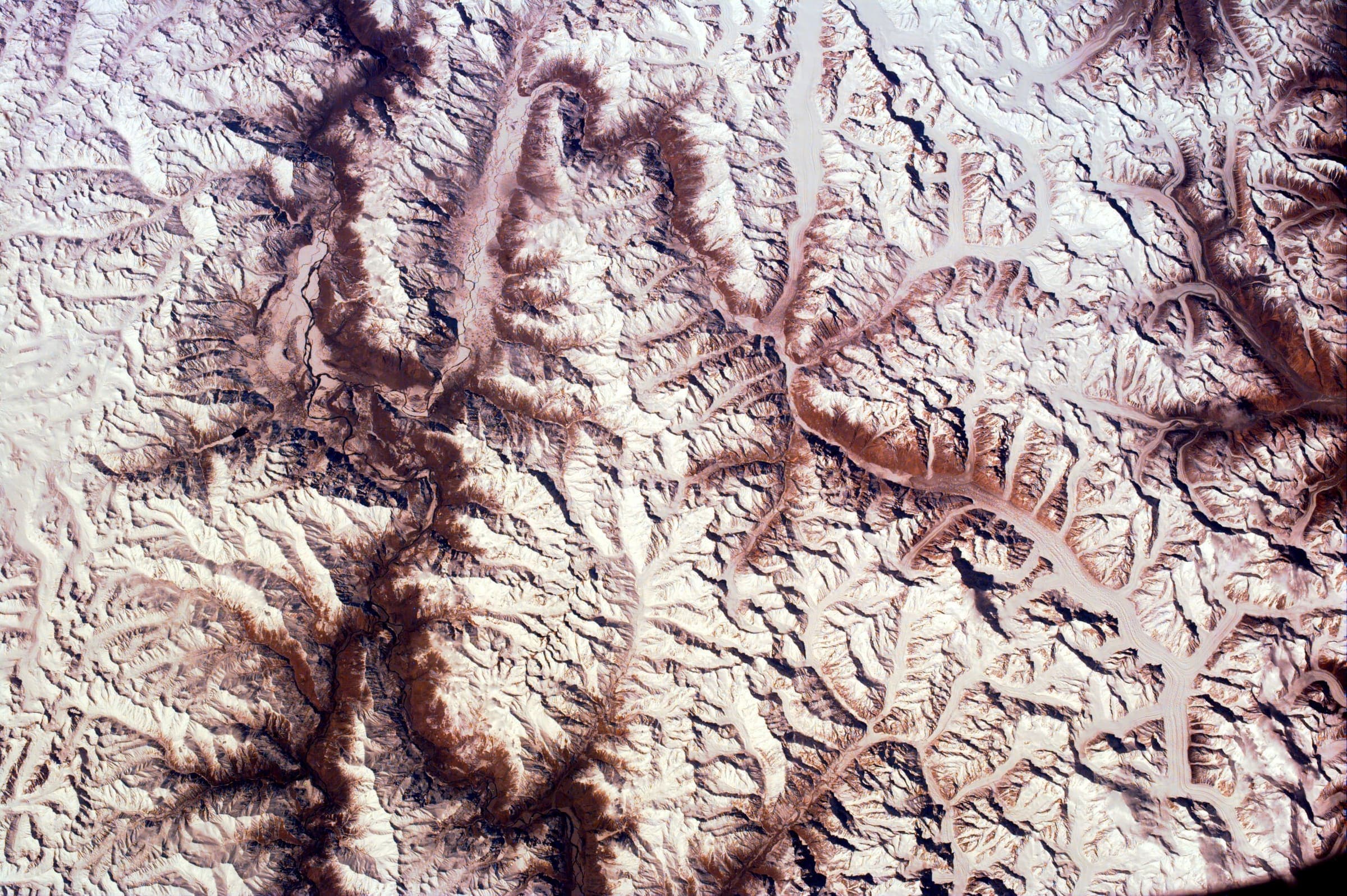
Key facts
Each figure is the stored value and its tier. A blank cell was not recorded.
| Trail | Distance | High point | Permit |
|---|---|---|---|
| K2 Base Camp / Concordia | 74.2 km · provisional (round figure) | 4963 m · provisional (DEM sample) | Reported |
| Snow Lake (Hispar–Biafo) | 120 km · provisional (round figure) | 5133 m · provisional (DEM sample) | Reported |
| Rush Lake | 12.83 km · provisional (pin-to-pin derivation) | 4617 m · provisional (DEM sample) | Reported |
| Fairy Meadows and Nanga Parbat Base Camp | 19.43 km · provisional (pin-to-pin derivation) | 3971 m · provisional (DEM sample) | Reported |
| Nanga Parbat Rupal Base Camp | 8.23 km · provisional (pin-to-pin derivation) | 3537 m · provisional (DEM sample) | Reported |
| Rakaposhi Base Camp | 6.52 km · provisional (pin-to-pin derivation) | 3442 m · provisional (DEM sample) | Reported |
| Patundas | 11.68 km · provisional (pin-to-pin derivation) | 4115 m · provisional (DEM sample) | Reported |
| Deosai Plains | Not published | 4137 m · provisional (DEM sample) | Reported |
| Naltar Valley | 22.07 km · provisional (pin-to-pin derivation) | 4665 m · provisional (DEM sample) | Reported |
| Passu Glacier | 4.49 km · provisional (pin-to-pin derivation) | 3136 m · provisional (DEM sample) | Reported |
Map loads when this section is on screen.
Regions
2 records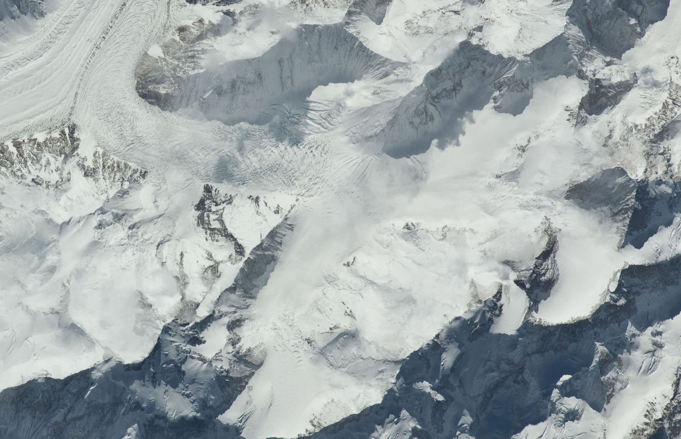
Southern Asia
Gilgit-Baltistan
The Karakoram of northern Pakistan — Askole to Concordia and K2 Base Camp on the Baltoro, inside Central Karakoram National Park. Not summit climbing.
Southern Asia
Azad Kashmir
Neelum Valley and the Line of Control. Not Gilgit-Baltistan. Access notes belong on the record, not a GB restricted-zone fee.
Trails
10 records
Distance 74.2 km provisional (round figure) · High point provisional (DEM sample) · 14d · SAC T3
K2 Base Camp / Concordia
Curated schematic — not walking distance. Pin-to-pin OSM named-waypoint line from Askole via Concordia to K2 Base Camp, 74.2 km. Not a summit line to K2. Vertical figures are a GLO-30 sample of those pins, not a walking profile. typicalDays 14 is a published two-week window (typical, not a statute).
Distance 120 km provisional (round figure) · High point provisional (DEM sample) · T3 · schematic
Snow Lake (Hispar–Biafo)
Schematic Askole → Hispar La → Hispar. Not a GPS track. About 120 km is the editorial headline, not the pin spacing. DEM high 5,133 m is Hispar La. CKNP Core Zone park fee.
High point provisional (DEM sample) · 1d · SAC T2
Deosai Plains
Schematic Skardu, Sheosar Lake, Deosai Pass, Astore. Not a single tread and not walking distance. Park boundary was not used as the route. Astore's tagged elevation 8,353 m was rejected; DEM at the town is 2,447 m. Sheosar DEM 4,137 m is the high pin.
Distance 19.43 km provisional (pin-to-pin derivation) · High point provisional (DEM sample) · 1d · SAC T3
Fairy Meadows and Nanga Parbat Base Camp
Schematic Raikot Bridge, Tato, Fairy Meadows, Raikot-side base camp. Not a GPS track. Nanga Parbat 8,126 m is a landmark. DEM high 3,971 m is the camp. The Diamir-face camp is a different approach and is not on this line.
Distance 22.07 km provisional (pin-to-pin derivation) · High point provisional (DEM sample) · 1d · SAC T3
Naltar Valley
Schematic Naltar hotel stand-in to Naltar Pass. The named lakes were not in OSM. DEM high 4,665 m is the pass and may sit above a lake walk. Not a GPS track.
Distance 8.23 km provisional (pin-to-pin derivation) · High point provisional (DEM sample) · T3 · schematic
Nanga Parbat Rupal Base Camp
Schematic Rupal village to the Rupal-side base camp. Tarashing was unresolved and is not drawn. Nanga Parbat 8,126 m and the Rupal Face are landmarks. DEM high 3,537 m is the camp.
Distance 4.49 km provisional (pin-to-pin derivation) · High point provisional (DEM sample) · 1d · SAC T3
Passu Glacier
Schematic Passu village to Passu Glacier View hike. Not a GPS track. DEM high 3,136 m. Passu Peak 7,243 m is a landmark. Glacier polygon is a feature, not this line. Batura / Yunz stays a separate held record.
Distance 11.68 km provisional (pin-to-pin derivation) · High point provisional (DEM sample) · T3 · schematic
Patundas
Schematic Passu, Borith Lake, Patundas. A glacier viewpoint, not a summit. DEM high 4,115 m. Not a GPS track.
Distance 6.52 km provisional (pin-to-pin derivation) · High point provisional (DEM sample) · T3 · schematic
Rakaposhi Base Camp
Schematic Minapin, Hapakun, Rakaposhi Base Camp. Rakaposhi 7,788 m is a landmark. DEM high 3,442 m is the camp. Not a GPS track.
Distance 12.83 km provisional (pin-to-pin derivation) · High point provisional (DEM sample) · T3 · schematic
Rush Lake
Schematic Hopar to Rush Lake camp. Not a GPS track. No published kilometre in the marquee list; 12.83 km is pin spacing. DEM at the camp is 4,617 m. Cited lake 4,694 m and Rush Peak 5,098 m are landmarks.