
Hiking trails in Uttarakhand
India · IN
Garhwal Himalaya — twelve marquee records. Valley of Flowers and Hemkund Sahib share the Govindghat–Ghangaria stem and stay related, not merged. Kedarkantha, Gaumukh–Tapovan, Milam Glacier, Bali Pass, Roopkund, Pindari Glacier, Tungnath–Chandrashila, Dayara Bugyal, Brahmatal, and Khatling Glacier are separate pages.
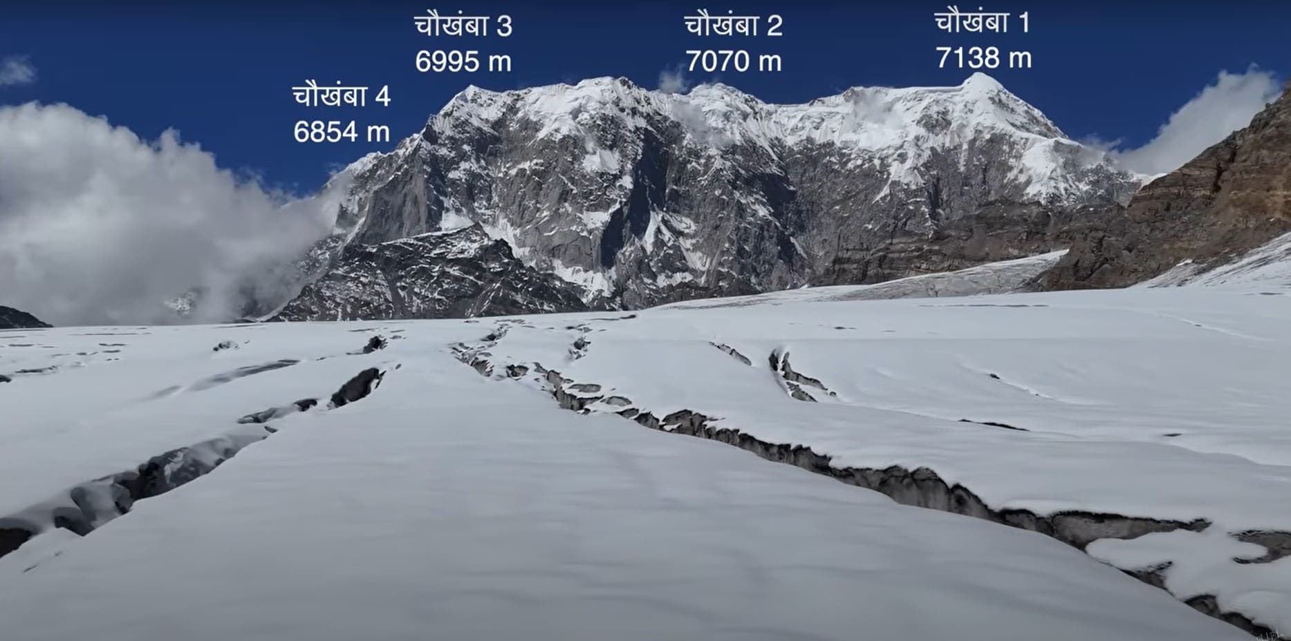
Key facts
Each figure is the stored value and its tier. A blank cell was not recorded.
| Trail | Distance | High point | Permit |
|---|---|---|---|
| Valley of Flowers | 17.73 km · Reported | 3694 m · provisional (DEM sample) | Unverified |
| Hemkund Sahib | 14.67 km · Reported | 4183 m · provisional (DEM sample) | Unverified |
| Kedarkantha | 14.43 km · Reported | 3809 m · provisional (DEM sample) | Unverified |
| Gaumukh Tapovan | 20.52 km · Reported | 4311 m · provisional (DEM sample) | Unverified |
| Milam Glacier | 51.5 km · Reported | 4212 m · provisional (DEM sample) | Unverified |
| Bali Pass | 32.39 km · Reported | 4895 m · provisional (DEM sample) | Unverified |
| Roopkund | 27.13 km · Reported | 4785 m · provisional (DEM sample) | Unverified |
| Pindari Glacier | 20.52 km · Reported | 3811 m · provisional (DEM sample) | Unverified |
| Tungnath–Chandrashila | 4.08 km · Reported | 3672 m · provisional (DEM sample) | Unverified |
| Dayara Bugyal | 28.34 km · Reported | 3648 m · provisional (DEM sample) | Unverified |
| Brahmatal | 10.76 km · Reported | 3374 m · provisional (DEM sample) | Unverified |
| Khatling Glacier | 21.6 km · Reported | 3673 m · provisional (DEM sample) | Unverified |
| Benoli Gaon to Rudraprayag | 44.13 km · Reported | 2841 m · provisional (DEM sample) | Unverified |
| Sitel to Pana | 38.47 km · Reported | 3227 m · provisional (DEM sample) | Unverified |
| Dar to Sipu | 38.24 km · Reported | 3380 m · provisional (DEM sample) | Unverified |
| Ghat to Durmi | 34.52 km · Reported | 2838 m · provisional (DEM sample) | Unverified |
| Mahargaon to Loharkhet | 33.23 km · Reported | 2887 m · provisional (DEM sample) | Unverified |
| Pana to Joshimath | 32.98 km · Reported | 3834 m · provisional (DEM sample) | Unverified |
| Taluka to Hanuman Chatti | 32.96 km · Reported | 4048 m · provisional (DEM sample) | Unverified |
| Thalisain to Gairsain | 32.91 km · Reported | 3001 m · provisional (DEM sample) | Unverified |
| Rali to Patwariyan | 32.58 km · Reported | 2587 m · provisional (DEM sample) | Unverified |
| Narayn Bagar to Sera | 30.49 km · Reported | 2311 m · provisional (DEM sample) | Unverified |
| Kharkiya to Kheta | 29.5 km · Reported | 2344 m · provisional (DEM sample) | Unverified |
| Kankul Pass Trail | 28.85 km · Reported | 4630 m · provisional (DEM sample) | Unverified |
Map loads when this section is on screen.
Trails
Hikes in Uttarakhand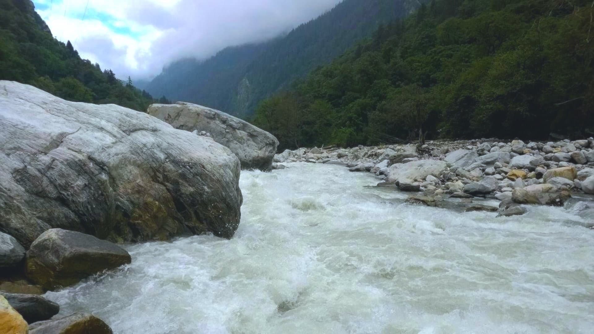
Distance 32.39 km Reported · Ascent provisional (DEM sample) · High point provisional (DEM sample) · T2 · OSM route
Bali Pass
OSM hiking route Yamunotri to Sankri, Uttarakhand (32.39 km line) — the Bali Pass crossing on this page, not a second record. Not relation 11245186 — related, not merged. Vertical figures from the GLO-30 resample. Days unknown.
Distance 44.13 km Reported · Ascent provisional (DEM sample) · High point provisional (DEM sample) · T2 · OSM route
Benoli Gaon to Rudraprayag
OSM hiking segment Benoli Gaon to Rudraprayag, Uttarakhand (44.13 km line). Village-to-village path; no cited itinerary. Vertical figures from the GLO-30 resample. Days unknown.
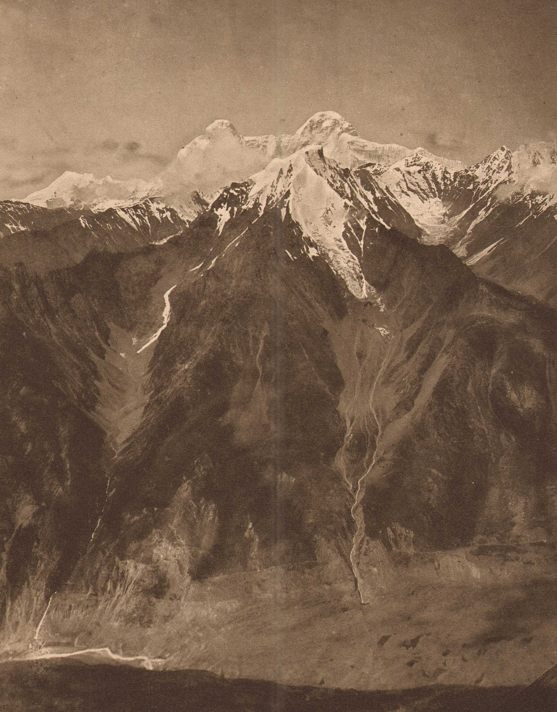
Distance 10.76 km Reported · Ascent provisional (DEM sample) · High point provisional (DEM sample) · T1 · OSM route
Brahmatal
OSM hiking route Lohajung to Brahmatal, Uttarakhand (10.76 km line). Jatropani 8168307 is absorbed on this page, not in the measured line. Vertical figures from the GLO-30 resample. Days unknown.
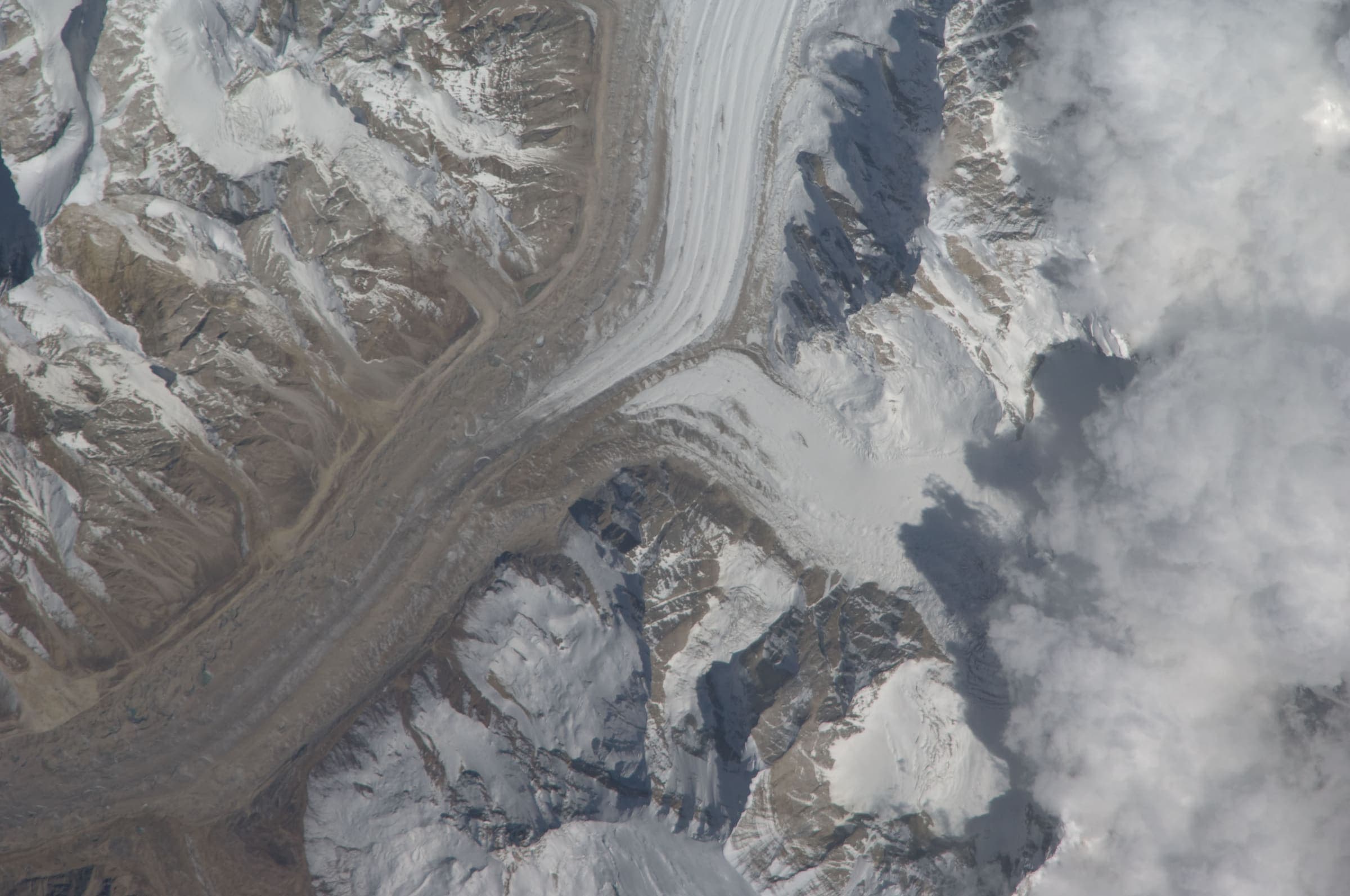
Distance 38.24 km Reported · Ascent provisional (DEM sample) · High point provisional (DEM sample) · T2 · OSM route
Dar to Sipu
OSM hiking segment Dar to Sipu, Uttarakhand (38.24 km line). Village-to-village path; no cited itinerary. Vertical figures from the GLO-30 resample. Days unknown.
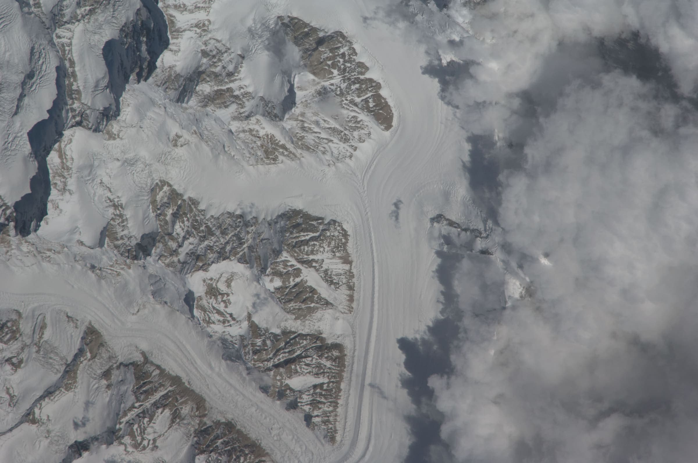
Distance 28.34 km Reported · Ascent provisional (DEM sample) · High point provisional (DEM sample) · T2 · OSM route
Dayara Bugyal
OSM hiking route around Dayara Bugyal, Uttarakhand (28.34 km line), Barsu–Raithal meadow network. DEM high is above the cited meadow elevation. Vertical figures from the GLO-30 resample. Days unknown.
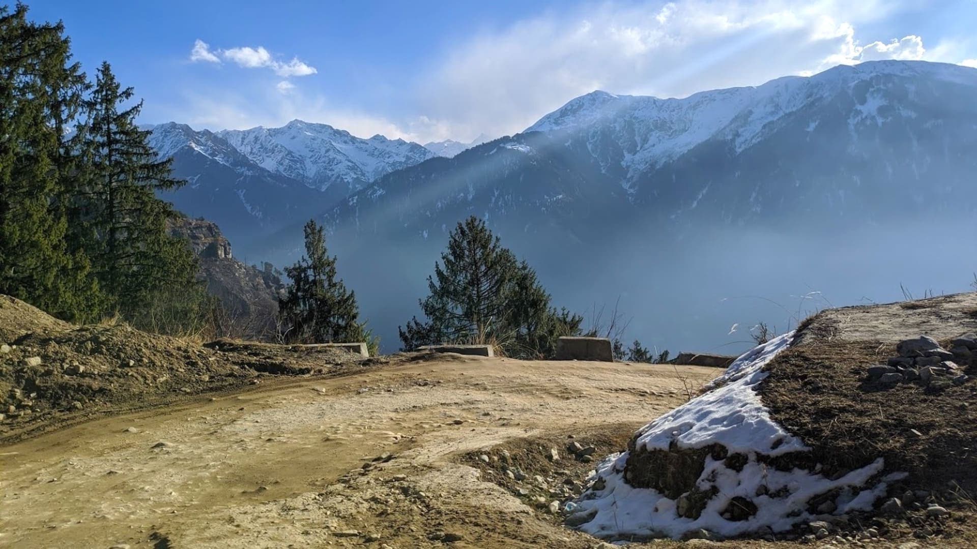
Distance 20.52 km Reported · Ascent provisional (DEM sample) · High point provisional (DEM sample) · T4 · OSM route
Gaumukh Tapovan
OSM hiking route Gangotri–Gaumukh–Tapovan, Uttarakhand (20.52 km line). Not the Gangotri–Khatling line 11234974 — related, not merged. Vertical figures from the GLO-30 resample. Days unknown. Gangotri NP entry 150 persons per day.
Distance 34.52 km Reported · Ascent provisional (DEM sample) · High point provisional (DEM sample) · T2 · OSM route
Ghat to Durmi
OSM hiking segment Ghat to Durmi, Uttarakhand (34.52 km line). Village-to-village path; no cited itinerary. Vertical figures from the GLO-30 resample. Days unknown.
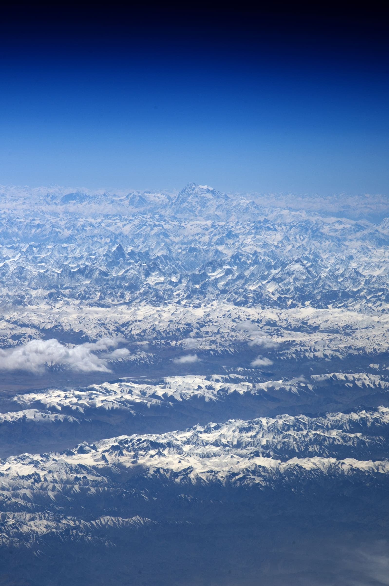
Distance 14.67 km Reported · Ascent provisional (DEM sample) · High point provisional (DEM sample) · T2 · OSM route
Hemkund Sahib
OSM hiking route to Hemkund Sahib, Uttarakhand (14.67 km line), Govindghat via Ghangaria. Not Valley of Flowers 11241655 — shared stem; related, not merged. Vertical figures from the GLO-30 resample. Days unknown.
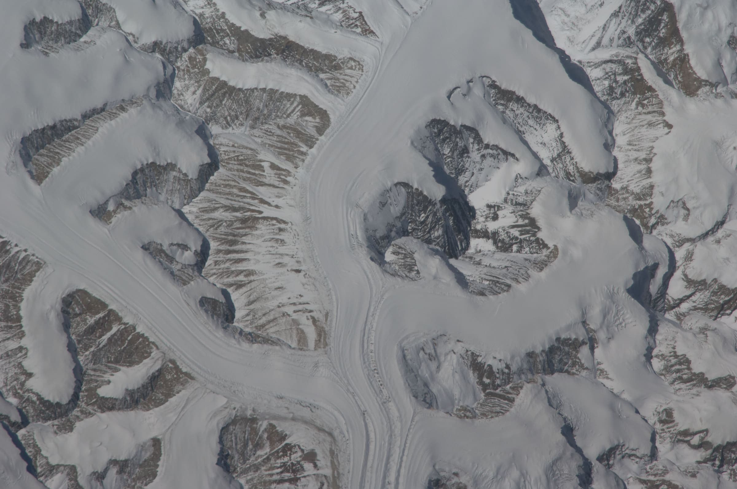
Distance 28.85 km Reported · Ascent provisional (DEM sample) · High point provisional (DEM sample) · T2 · OSM route
Kankul Pass Trail
OSM hiking segment Kankul Pass Trail, Uttarakhand (28.85 km line). Village-to-village path; no cited itinerary. Vertical figures from the GLO-30 resample. Days unknown.
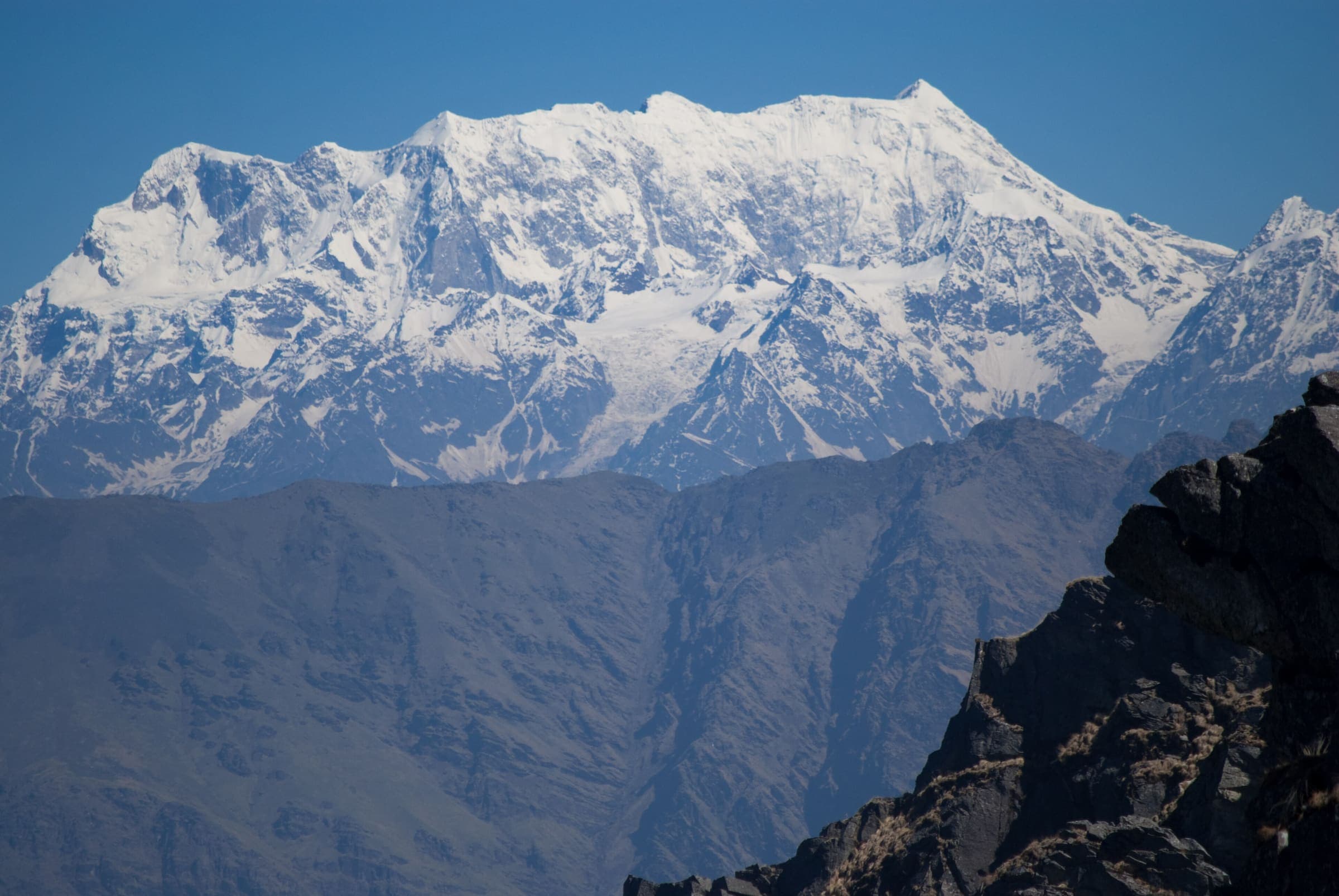
Distance 14.43 km Reported · Ascent provisional (DEM sample) · High point provisional (DEM sample) · 5d · SAC T1
Kedarkantha
OSM hiking route to Kedarkantha, Uttarakhand (14.43 km line), canonical Sankri relation. Halthari and Darsaun approaches are absorbed on this page, not merged into the line. Vertical figures from the GLO-30 resample. Five days (Uttarakhand Tourism).
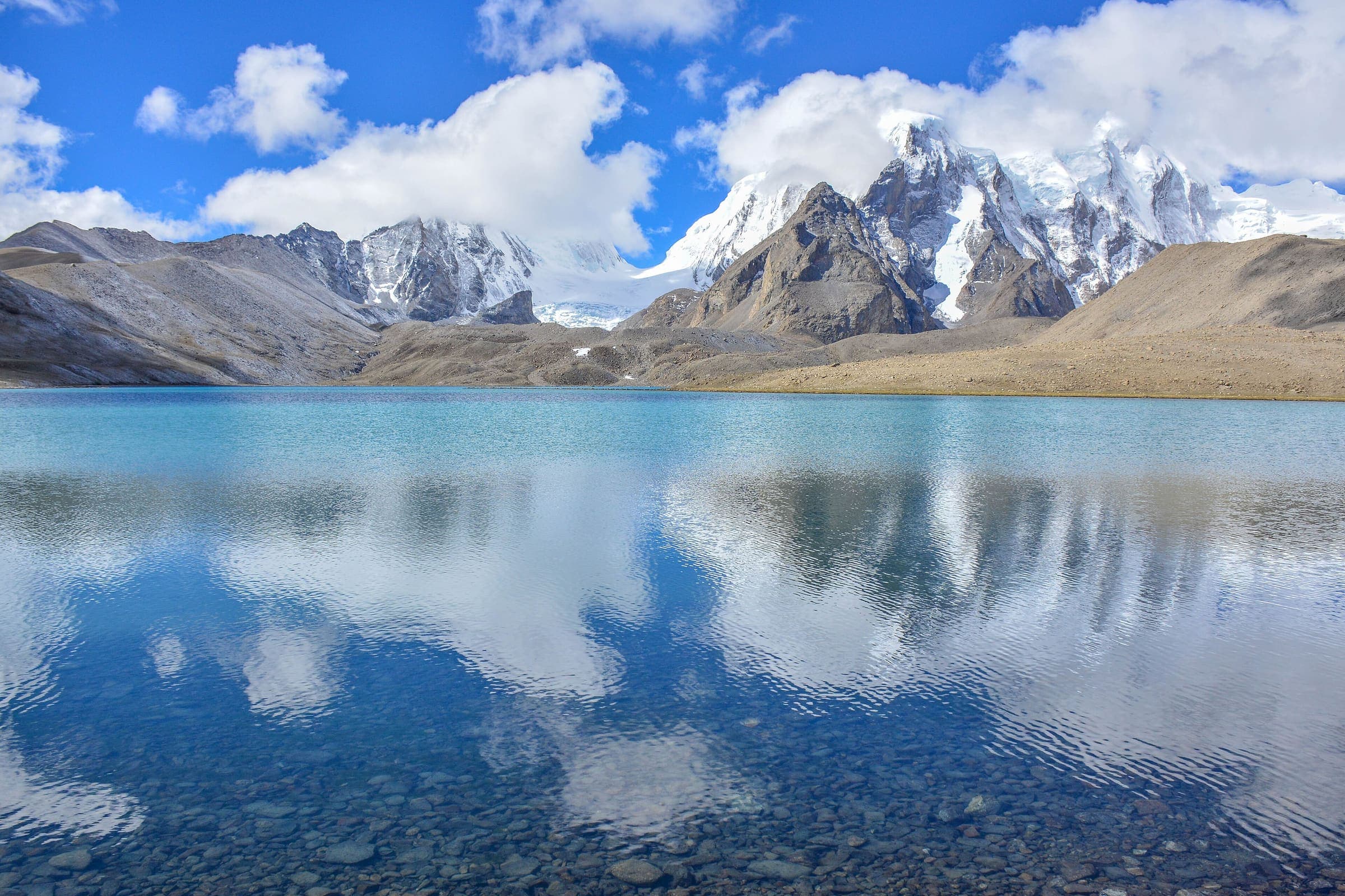
Distance 29.5 km Reported · Ascent provisional (DEM sample) · High point provisional (DEM sample) · T2 · OSM route
Kharkiya to Kheta
OSM hiking segment Kharkiya to Kheta, Uttarakhand (29.5 km line). Village-to-village path; no cited itinerary. Vertical figures from the GLO-30 resample. Days unknown.
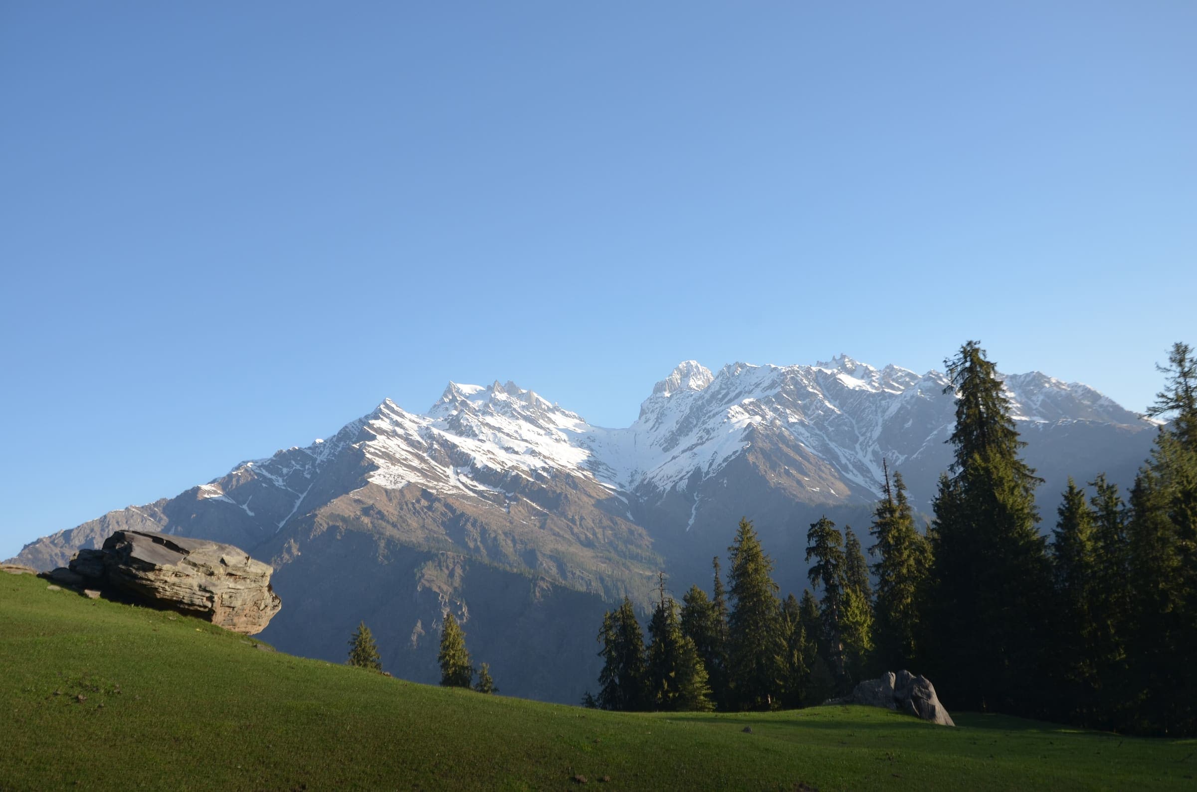
Distance 21.6 km Reported · Ascent provisional (DEM sample) · High point provisional (DEM sample) · T5 · OSM route
Khatling Glacier
OSM hiking route Gangi to Khatling, Uttarakhand (21.6 km line). Gangotri-side approaches 11234974 and 11243548 are absorbed on this page, not merged into the line. Vertical figures from the GLO-30 resample. Days unknown.
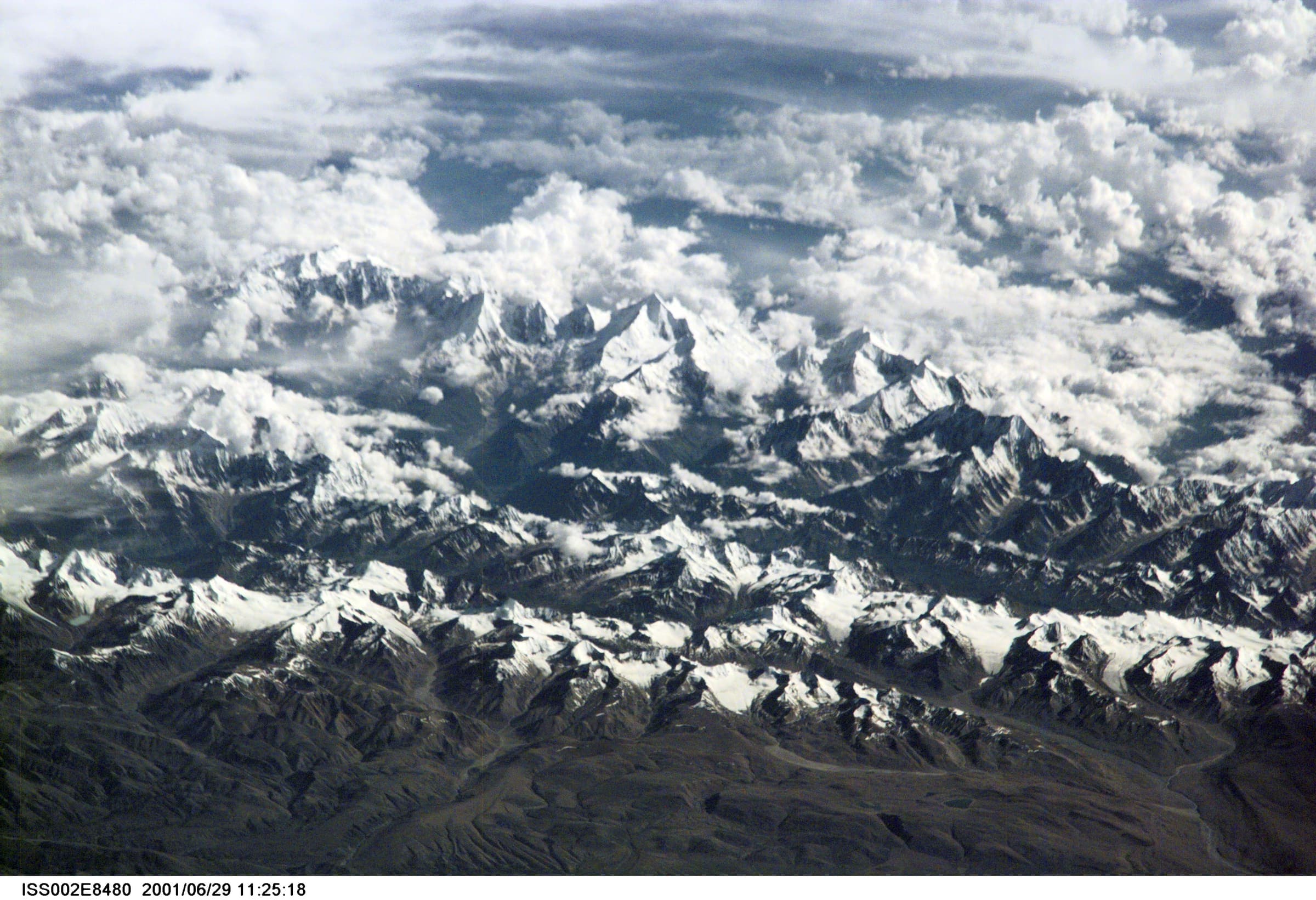
Distance 33.23 km Reported · Ascent provisional (DEM sample) · High point provisional (DEM sample) · T2 · OSM route
Mahargaon to Loharkhet
OSM hiking segment Mahargaon to Loharkhet, Uttarakhand (33.23 km line). Village-to-village path; no cited itinerary. Vertical figures from the GLO-30 resample. Days unknown.
Distance 51.5 km Reported · Ascent provisional (DEM sample) · High point provisional (DEM sample) · T1 · OSM route
Milam Glacier
OSM hiking route Lilam–Milam–Milam Glacier, Uttarakhand (51.5 km line), stitch of 11240060 + 15803504. Girthi Dobala 11278574 is an alternate, not measured. Vertical figures from the GLO-30 resample. Days unknown. Inner Line Permit (SDM Munsiyari).
Distance 30.49 km Reported · Ascent provisional (DEM sample) · High point provisional (DEM sample) · T2 · OSM route
Narayn Bagar to Sera
OSM hiking segment Narayn Bagar to Sera, Uttarakhand (30.49 km line). Village-to-village path; no cited itinerary. Vertical figures from the GLO-30 resample. Days unknown.
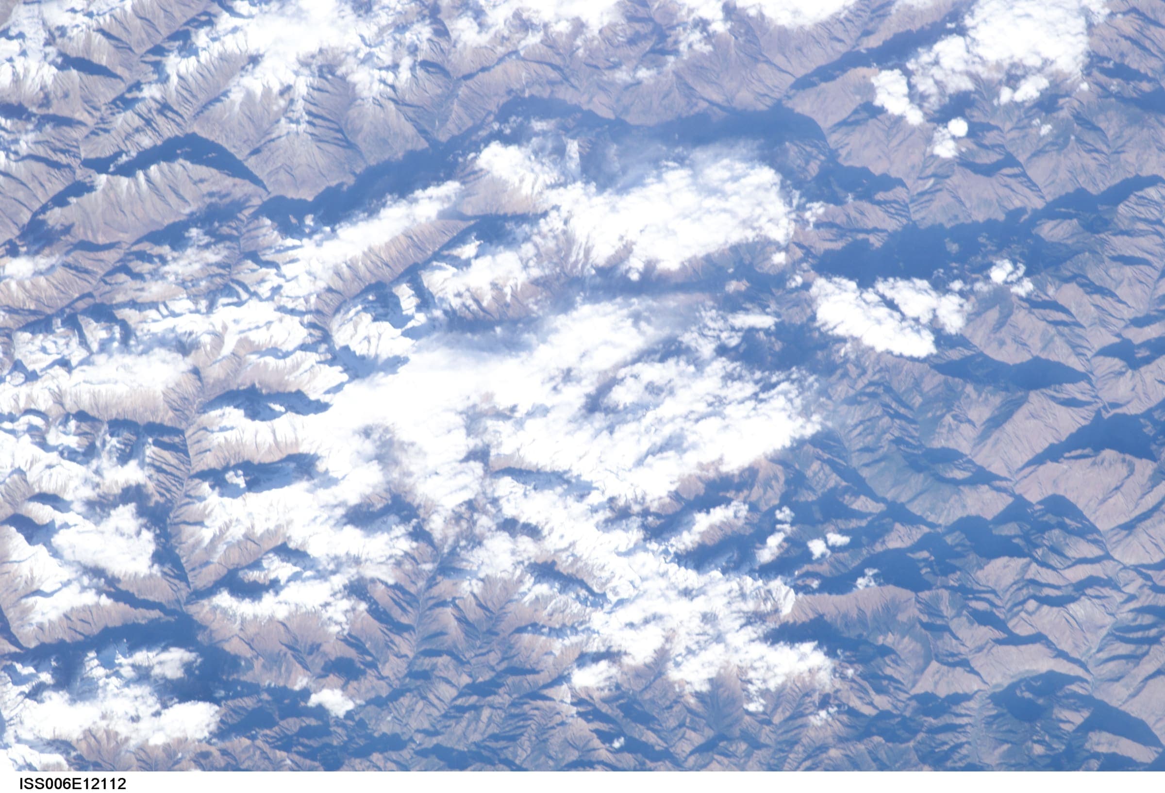
Distance 32.98 km Reported · Ascent provisional (DEM sample) · High point provisional (DEM sample) · T2 · OSM route
Pana to Joshimath
OSM hiking segment Pana to Joshimath, Uttarakhand (32.98 km line). Village-to-village path; no cited itinerary. Vertical figures from the GLO-30 resample. Days unknown.
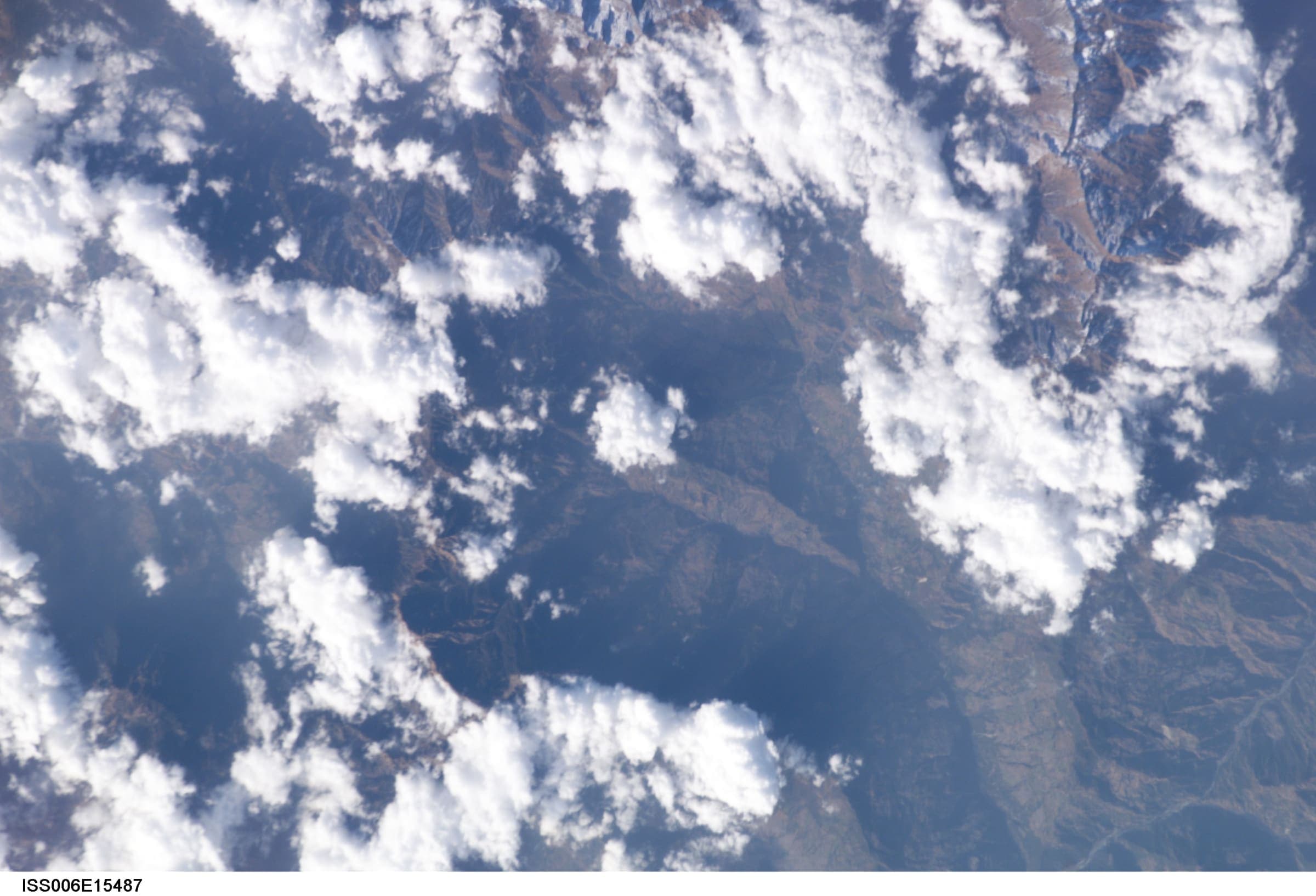
Distance 20.52 km Reported · Ascent provisional (DEM sample) · High point provisional (DEM sample) · T2 · OSM route
Pindari Glacier
OSM hiking route Kathi to Pindari Glacier, Uttarakhand (20.52 km line). OSM 20.52 km vs KMVN 90 km round-trip — record the OSM line, note the mismatch. Vertical figures from the GLO-30 resample. Days unknown.
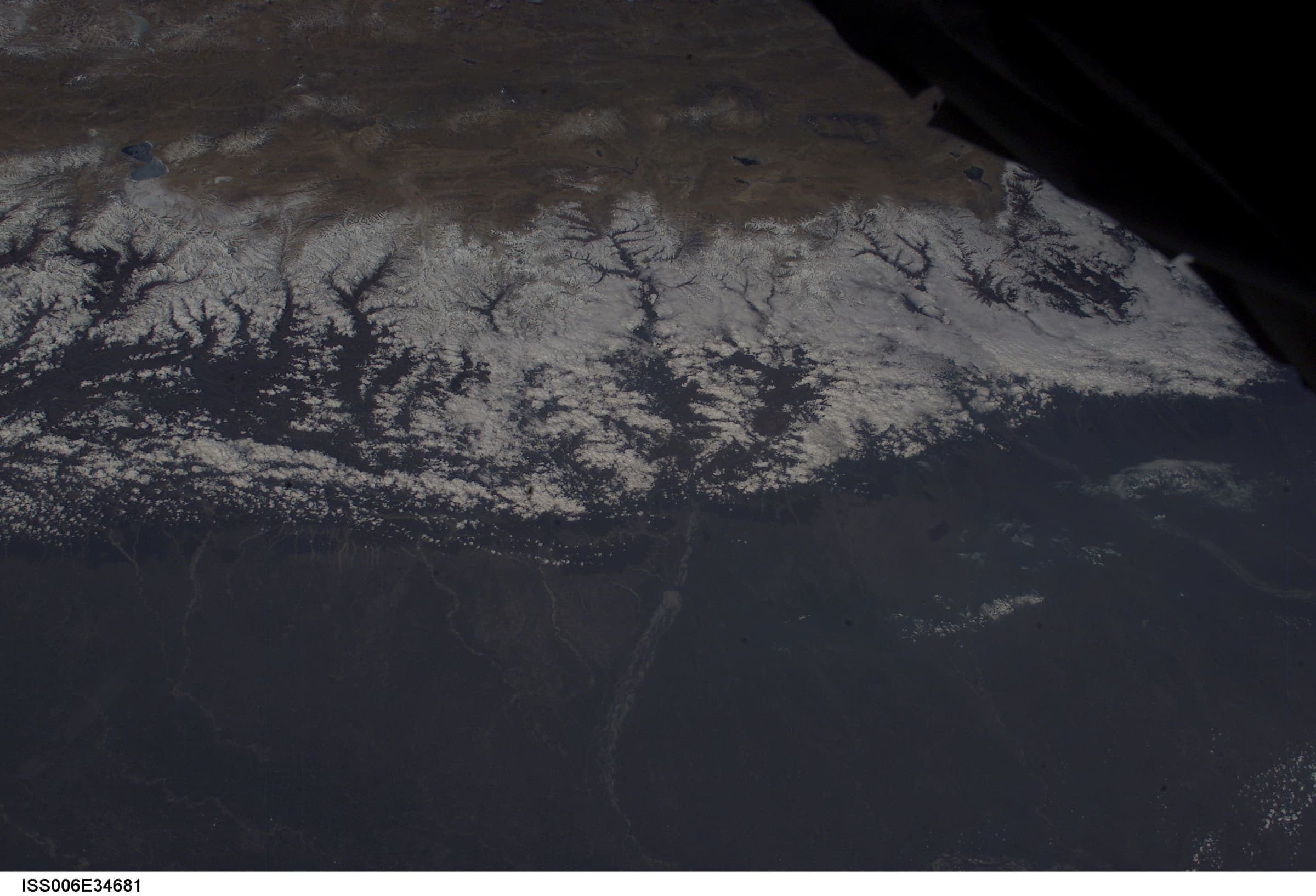
Distance 32.58 km Reported · Ascent provisional (DEM sample) · High point provisional (DEM sample) · T2 · OSM route
Rali to Patwariyan
OSM hiking segment Rali to Patwariyan, Uttarakhand (32.58 km line). Village-to-village path; no cited itinerary. Vertical figures from the GLO-30 resample. Days unknown.
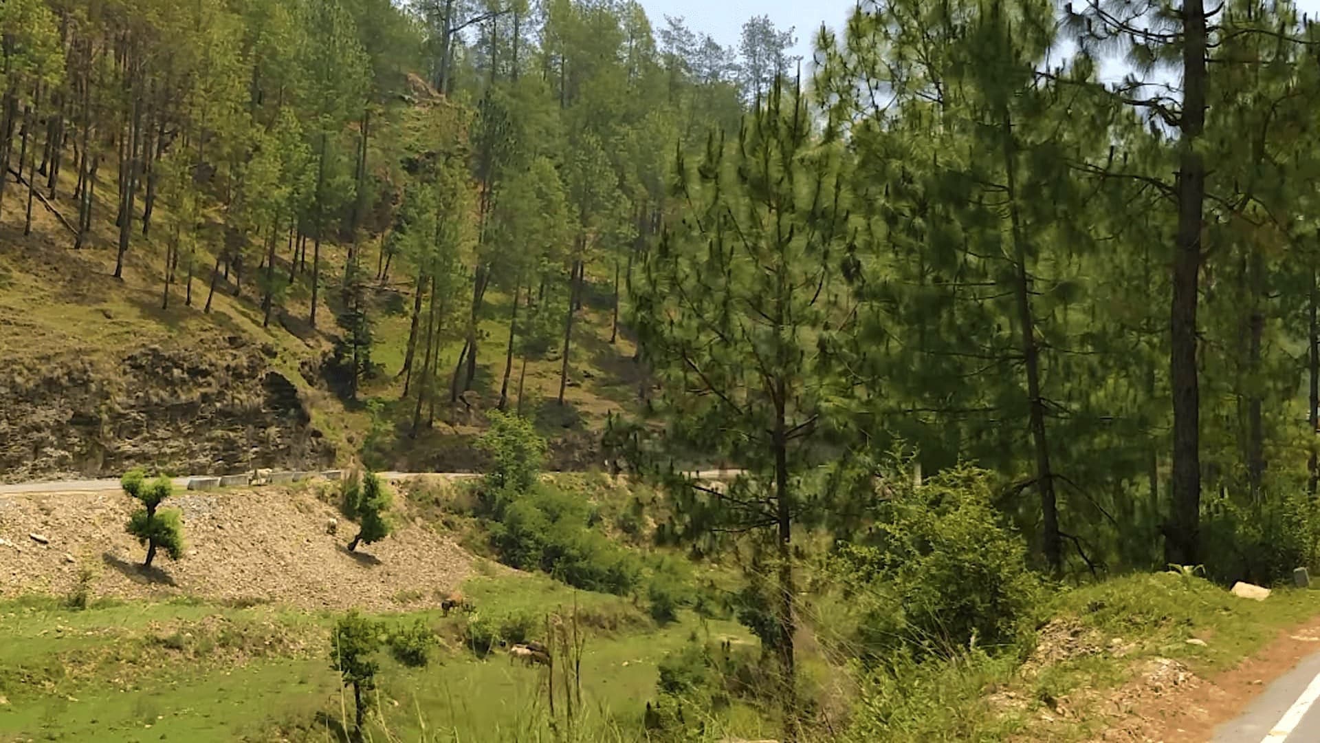
Distance 27.13 km Reported · Ascent provisional (DEM sample) · High point provisional (DEM sample) · T2 · OSM route
Roopkund
OSM hiking route Lohajung to Roopkund, Uttarakhand (27.13 km line). Kanol approach 12297059 is absorbed on this page, not merged into the line. Geometry stops below the lake. Vertical figures from the GLO-30 resample. Days unknown.
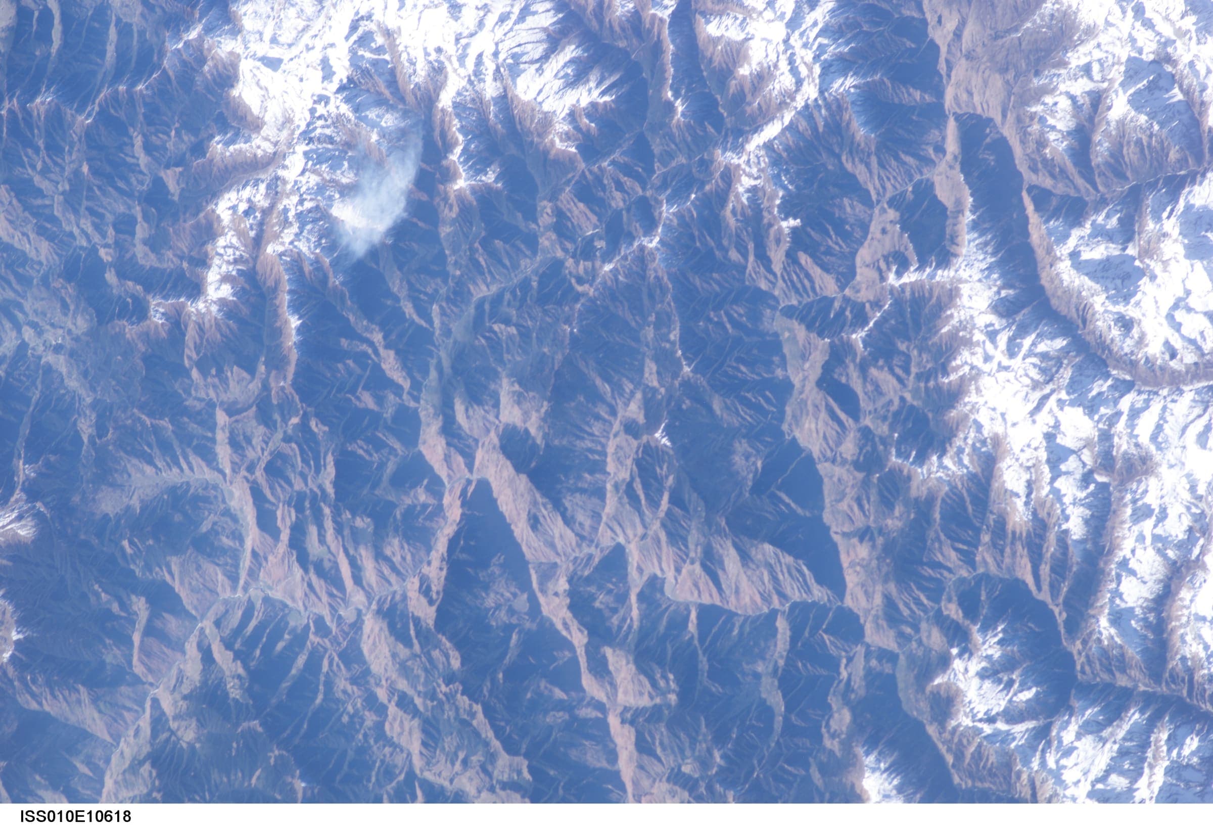
Distance 38.47 km Reported · Ascent provisional (DEM sample) · High point provisional (DEM sample) · T2 · OSM route
Sitel to Pana
OSM hiking segment Sitel to Pana, Uttarakhand (38.47 km line). Village-to-village path; no cited itinerary. Vertical figures from the GLO-30 resample. Days unknown.
Distance 32.96 km Reported · Ascent provisional (DEM sample) · High point provisional (DEM sample) · T2 · OSM route
Taluka to Hanuman Chatti
OSM hiking segment Taluka to Hanuman Chatti, Uttarakhand (32.96 km line). Village-to-village path; no cited itinerary. Vertical figures from the GLO-30 resample. Days unknown.
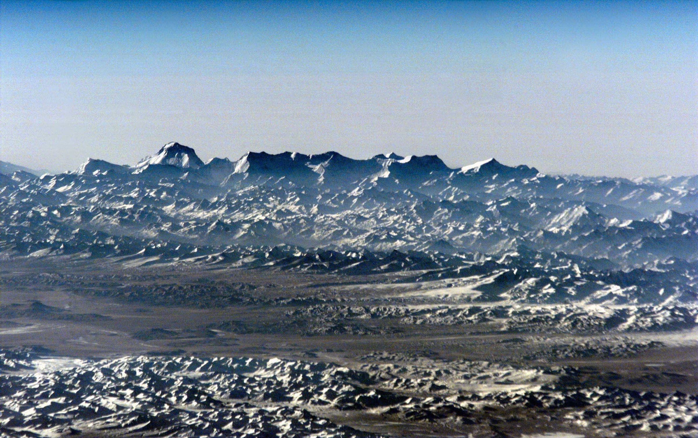
Distance 32.91 km Reported · Ascent provisional (DEM sample) · High point provisional (DEM sample) · T2 · OSM route
Thalisain to Gairsain
OSM hiking segment Thalisain to Gairsain, Uttarakhand (32.91 km line). Village-to-village path; no cited itinerary. Vertical figures from the GLO-30 resample. Days unknown.
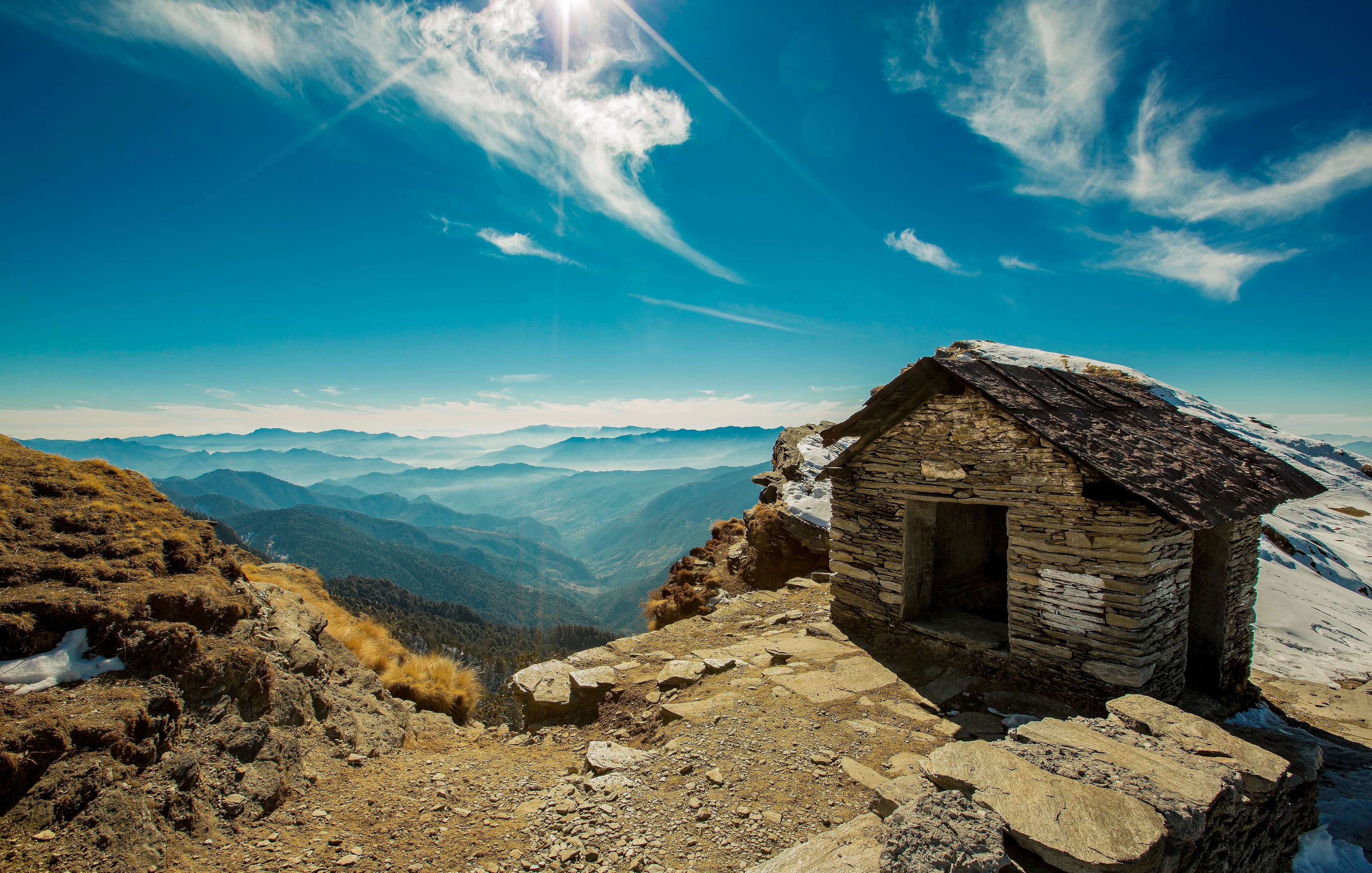
Distance 4.08 km Reported · Ascent provisional (DEM sample) · High point provisional (DEM sample) · T1 · OSM route
Tungnath–Chandrashila
OSM hiking route Chopta–Tungnath–Chandrashila, Uttarakhand (4.08 km line). Not Chopta–Pokhri 12082788. Geometry may end at Tungnath. Vertical figures from the GLO-30 resample. Days unknown.
Distance 17.73 km Reported · Ascent provisional (DEM sample) · High point provisional (DEM sample) · T1 · OSM route
Valley of Flowers
OSM hiking route into Valley of Flowers National Park, Uttarakhand (17.73 km line), Govindghat via Ghangaria. Not Hemkund Sahib 11308638 — shared stem; related, not merged. Vertical figures from the GLO-30 resample. Days unknown.