
Peaks of the Balkans
Albania · AL
Cross-border circuit through Albania, Kosovo, and Montenegro. Mapping is thin and a permit is required to cross the borders on foot.
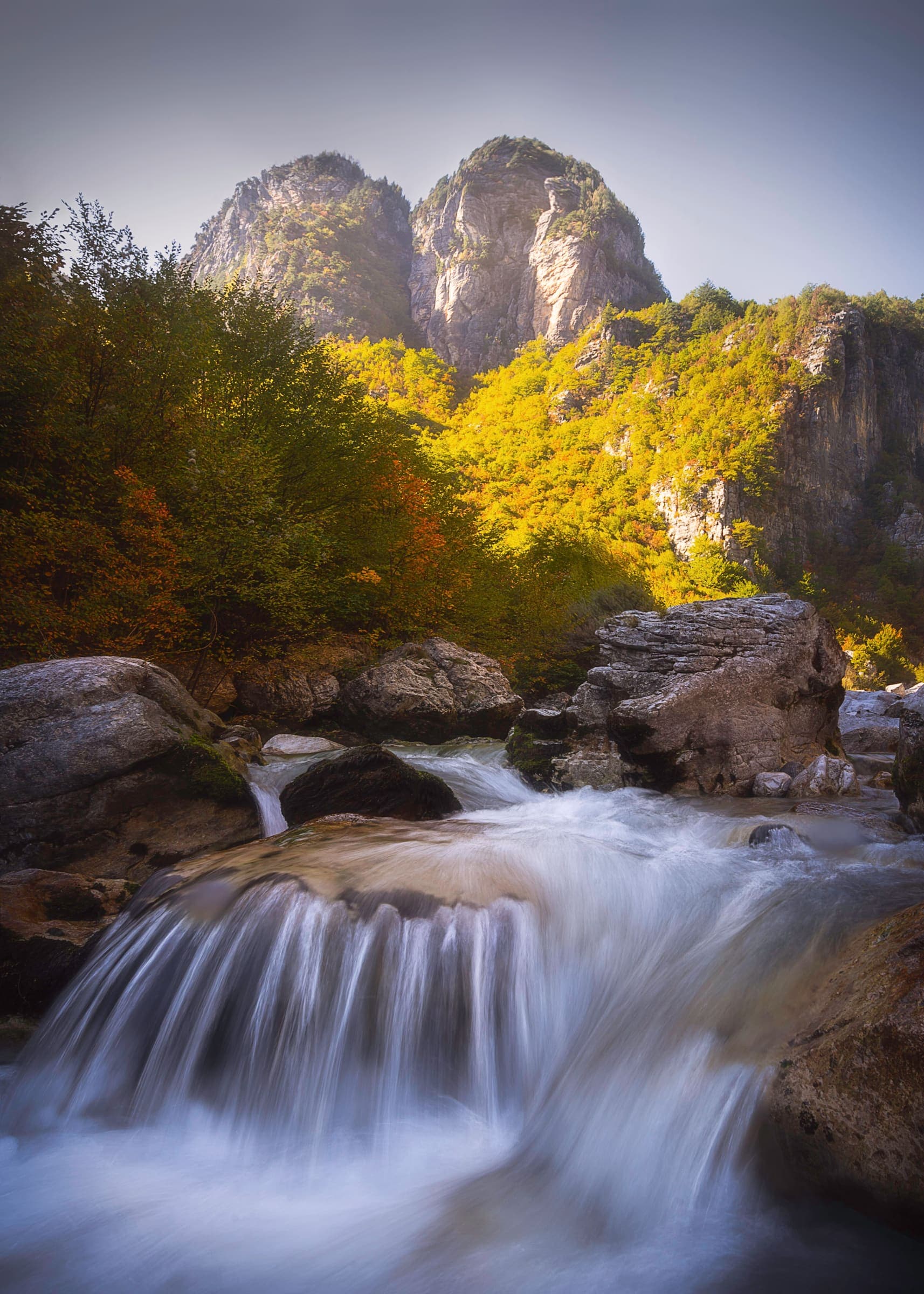
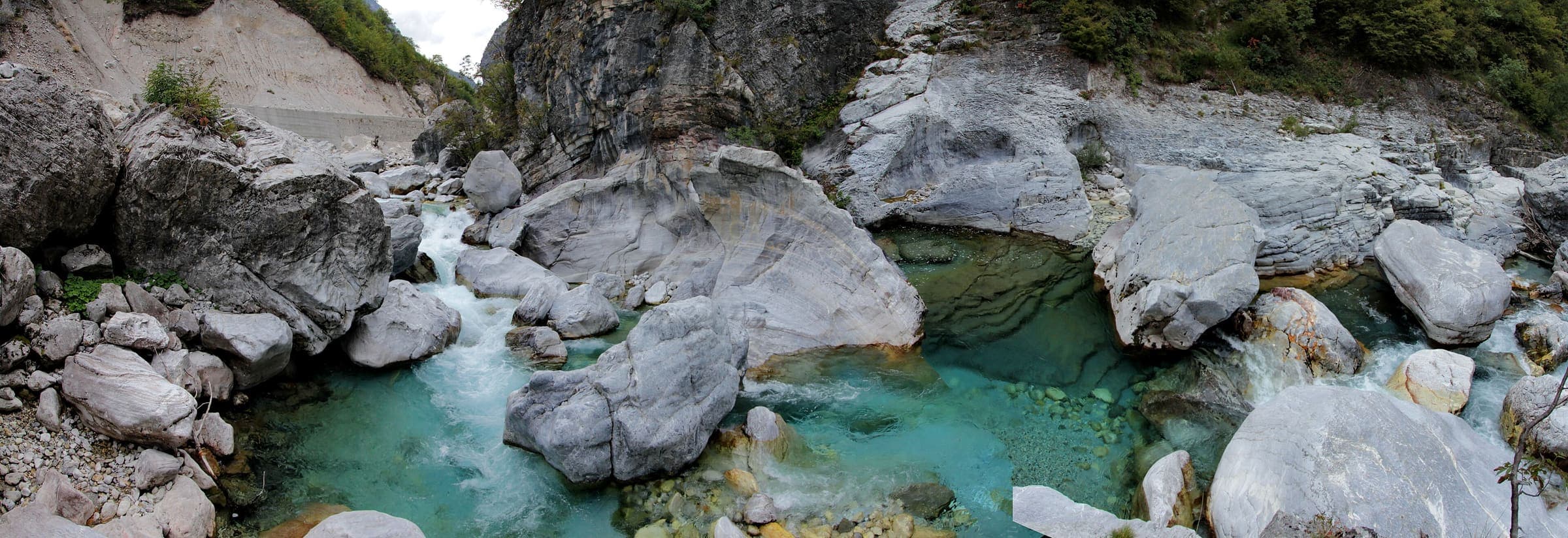
T3 · 192 km · 10d
Peaks of the Balkans Trail
About 192 km looping through the Accursed Mountains of Albania, Kosovo, and Montenegro on old shepherd and smuggler paths.
T3 · 18 km · 1d
Theth to Valbona Pass
Schematic Theth, Valbona Pass, Valbonë. Not a GPS track. Cited one-way about 18 km. DEM high 1,804 m is the pass. Cited 1,815 m and OSM 1,795 m are landmarks. Return is not doubled.
T3 · 192 km · 16d
Peaks of the Balkans
Schematic loop: Theth, Valbona Pass, Valbonë, Çerem, Dobërdol, Doberdol Pass, Milishevc, Plav, Vusanje. Not a GPS track. Cited circuit about 192 km. DEM high 2,203 m is Doberdol Pass. Cited ~2,290 m pasture is a landmark. Babino Polje is unresolved and is not drawn.
T2 · 6.33 km · 1d
Valbona Valley
Schematic Valbonë to Rragam. Not a GPS track. No published kilometre in the marquee list. DEM high 1,135 m. Return is not doubled.
T2 · 4.12 km · 1d
Theth Blue Eye (Syri i Kaltër)
Schematic Theth to Syri i Kaltër. Not a GPS track. DEM high 741 m is Theth; the pool is 610 m. A local fee is possible and unconfirmed, so no amount is stored.
T4 · 4.06 km · 1d
Maja Jezercë
Schematic Rragam to the Maja e Jezercës pin. Not a GPS track. DEM high 2,656 m governs. Cited and OSM 2,694 m are landmarks. Return is not doubled.
T4 · 5.85 km · 1d
Mount Korab
Schematic Radomirë to the Golem Korab summit pin. Not a GPS track. DEM high 2,712 m. Cited 2,764 m (node 2590602216) is a landmark. Albania / North Macedonia border; not a reject for leaving Albania.
T3 · 3.59 km · 1d
Maja e Çikës (Llogara)
Schematic Llogara to Maja e Çikës. Not a GPS track. DEM high 2,024 m. Cited ~2,044 m and OSM 2,045 m are landmarks. Sea-to-summit is the setting, not a measured line.
T3 · 8.26 km · 1d
Mount Tomorr
Schematic Tomorr village to the peak pin. Not a GPS track. DEM high 2,388 m. Cited 2,416 m is a landmark.
T4 · 0 km · 1d
Gjeravica (Albanian approach)
One pin: Gjeravicë peak on the Albania / Kosovo border, DEM 2,642 m. Cited 2,656 m is a landmark. The Albanian-side trailhead is unresolved and is not drawn. Cross-border is the route, not a reject.
T2 · 2.33 km · 1d
Grunas Waterfall
Schematic Theth to the Grunas hamlet pin. The waterfall object itself was unconfirmed. Not a GPS track. Return is not doubled.
T2 · 6.33 km · 1d
Valbona to Rragam
Same two resolved pins as Valbona Valley, kept as its own slug. Schematic Valbonë to Rragam. Not a GPS track.
T3 · 19.13 km · 1d
Via Dinarica (Albania)
Schematic Albania spine shared with Peaks of the Balkans: Theth, Valbona Pass, Valbonë, Çerem. Geometries are not merged. Not a GPS track. No published Albania-section kilometre was in the marquee list.
T2 · 400 km · 20d
High Scardus Trail
High Scardus Trail — tail catalogue entry from OSM relation 16214640. Geometry and elevation are OSM/GLO-30 and provisional. No special permit known; verify locally.
T2 · 167.8 km · 8d
Via Dinarica
Via Dinarica — tail catalogue entry from OSM relation 11502863. Geometry and elevation are OSM/GLO-30 and provisional. No special permit known; verify locally.
T2 · 365.6 km · 18d
Crnogorska Transverzala 1
Crnogorska Transverzala 1 — tail catalogue entry from OSM relation 2777368. Geometry and elevation are OSM/GLO-30 and provisional. No special permit known; verify locally.
T2 · 12 km · 1d
Štavna - Pajkov Vir
Štavna - Pajkov Vir — tail catalogue entry from OSM relation 8133873. Geometry and elevation are OSM/GLO-30 and provisional. No special permit known; verify locally.
T2 · 18 km · 1d
Mount Korab (9)
Mount Korab (9) — tail catalogue entry from OSM relation 7574408. Geometry and elevation are OSM/GLO-30 and provisional. No special permit known; verify locally.
T2 · 26.9 km · 1d
Mount Korab (9/1)
Mount Korab (9/1) — tail catalogue entry from OSM relation 16024487. Geometry and elevation are OSM/GLO-30 and provisional. No special permit known; verify locally.