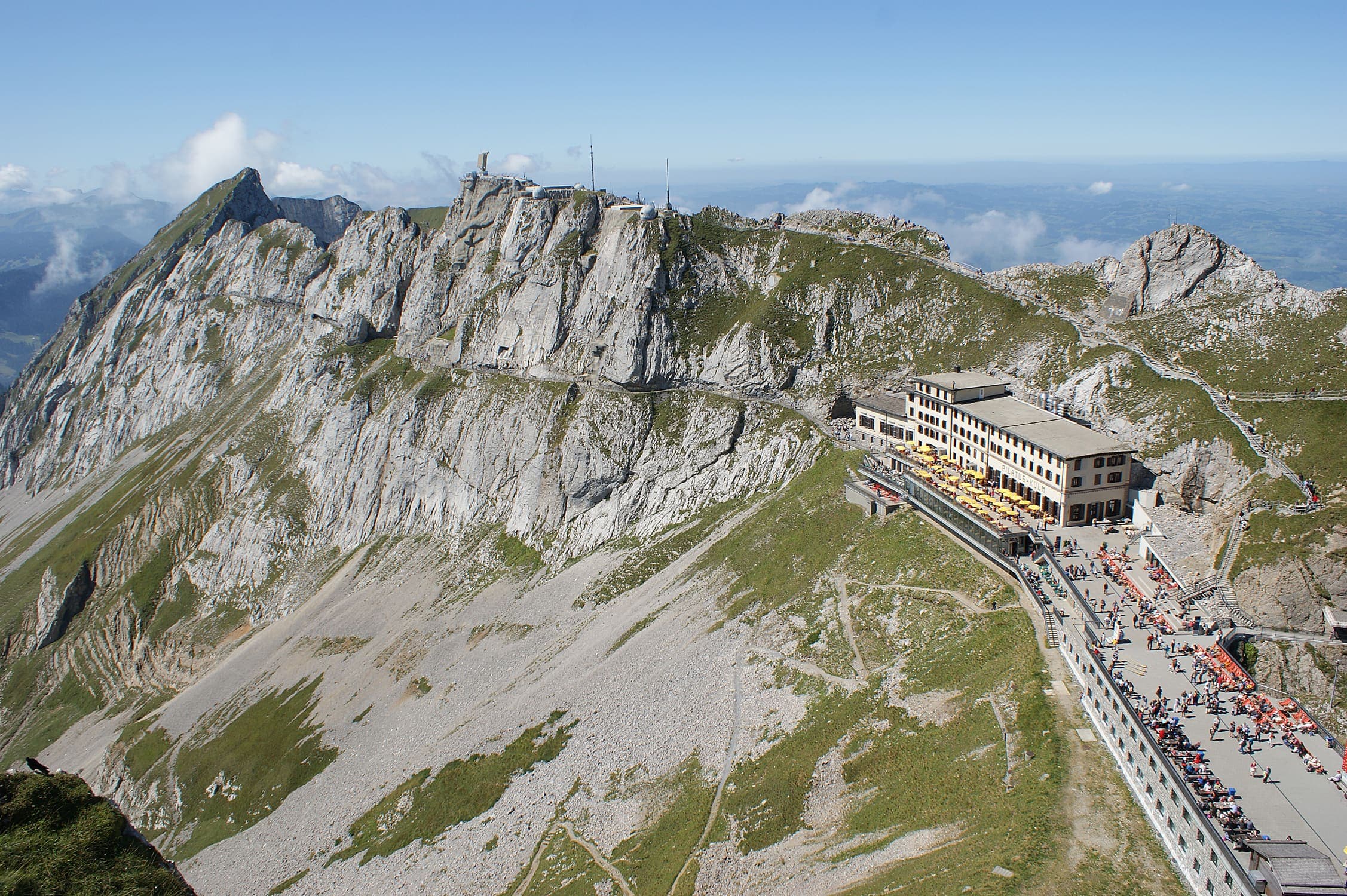
Hiking trails in Obwalden
Switzerland · CH
A founding canton on the south shore of Lake Lucerne, from Pilatus toward the Stanserhorn.
Key facts
Each figure is the stored value and its tier. A blank cell was not recorded.
| Trail | Distance | High point | Permit |
|---|---|---|---|
| Obwaldner Höhenweg | 98.3 km · Reported | 2232 m · provisional (DEM sample) | Unverified |
Map loads when this section is on screen.