
Hiking trails in Langtang
Nepal · NP
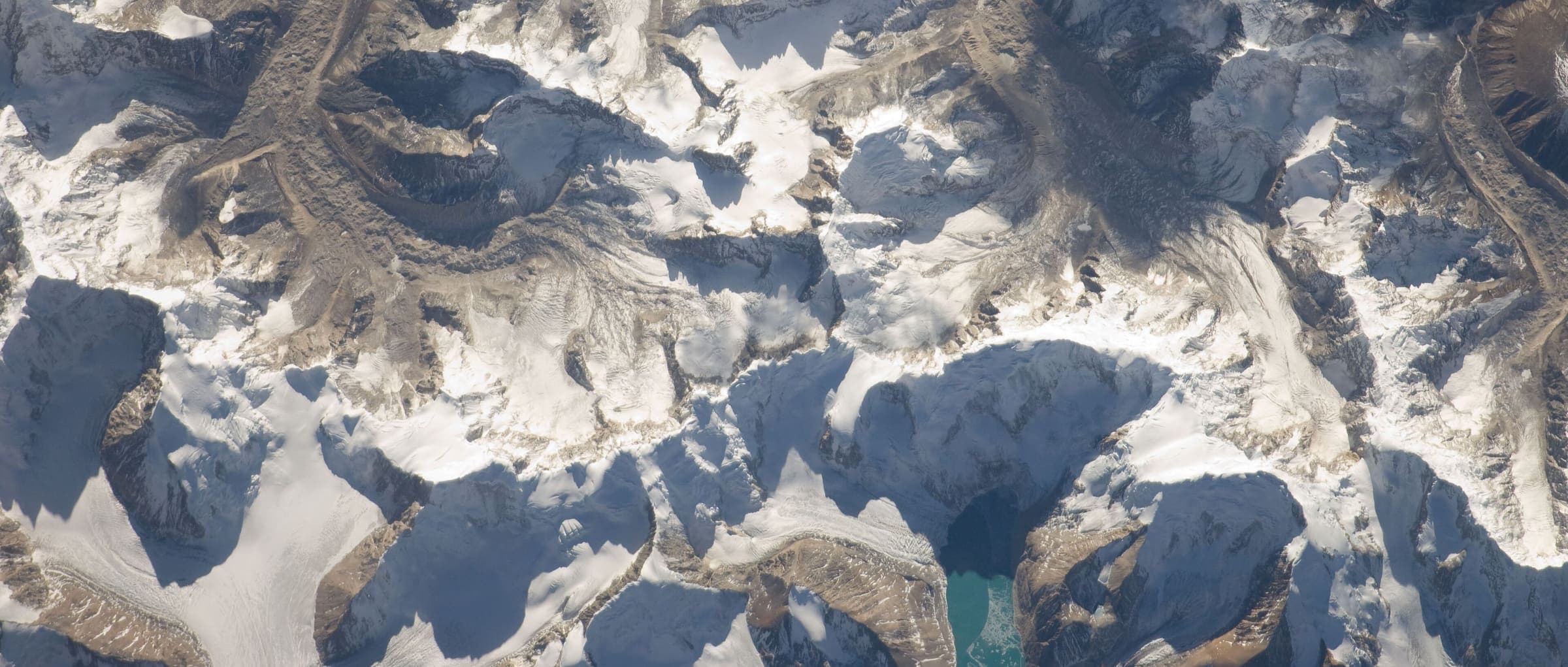
North of Kathmandu: Langtang Valley, Helambu, and Gosaikunda — Langtang National Park teahouse country, not a merged super-trek.
Key facts
Each figure is the stored value and its tier. A blank cell was not recorded.
| Trail | Distance | High point | Permit |
|---|---|---|---|
| Langtang Valley | 30.97 km · Reported | 3860 m · provisional (DEM sample) | Reported |
| Helambu | 43.41 km · Reported | 3670 m · provisional (DEM sample) | Unverified |
| GosainKunda Trek | 38.69 km · Reported | 4651 m · provisional (DEM sample) | Unverified |
Map loads when this section is on screen.
Trails
Hikes in Langtang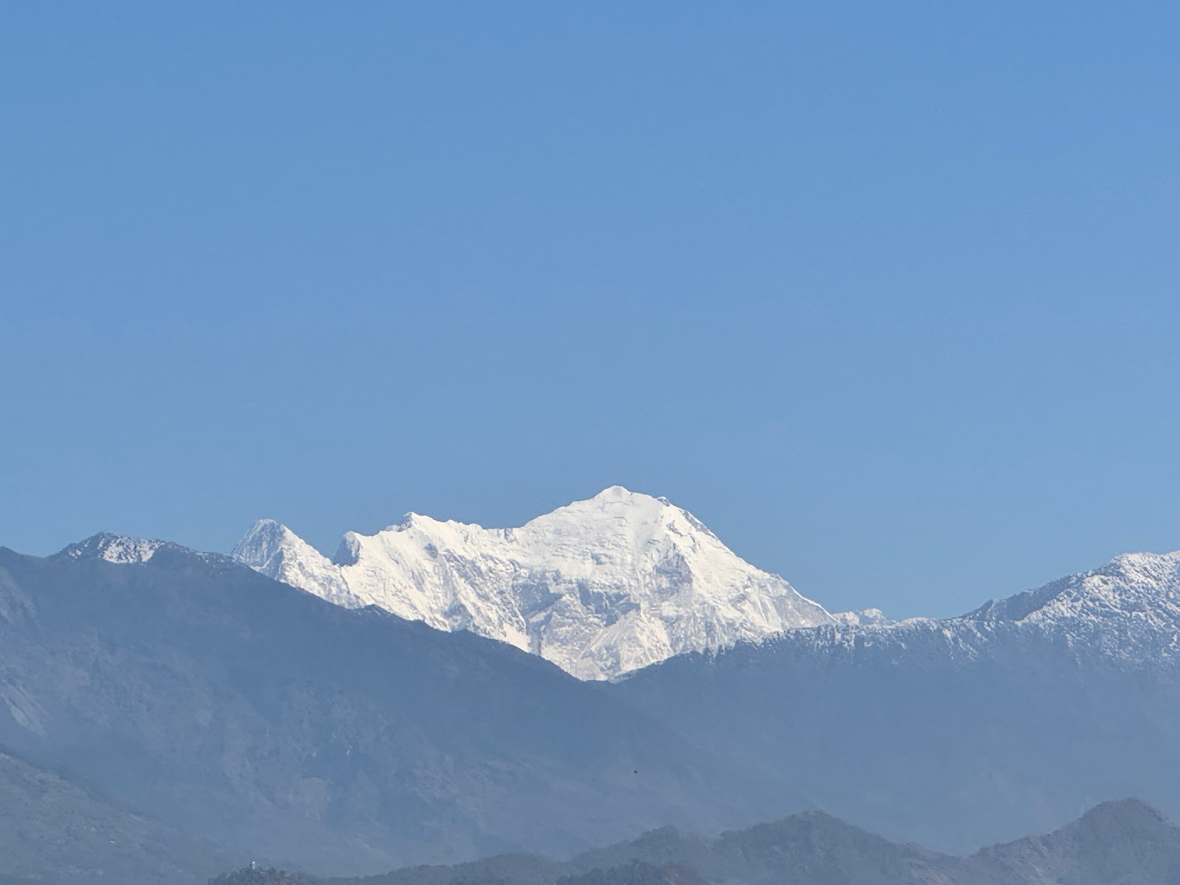
Distance 30.97 km Reported · Ascent provisional (DEM sample) · High point provisional (DEM sample) · 8d · SAC T2
Langtang Valley
OSM hiking route Langtang Valley, Nepal (30.97 km line). out-and-back; one-way 30.97 km, round-trip 61.95 km in prose. Permits are the headline (official NTB/NTNC 2026-09-21). Vertical figures from the Wave N GLO-30 resample.
Distance 43.41 km Reported · Ascent provisional (DEM sample) · High point provisional (DEM sample) · 6d · SAC T2
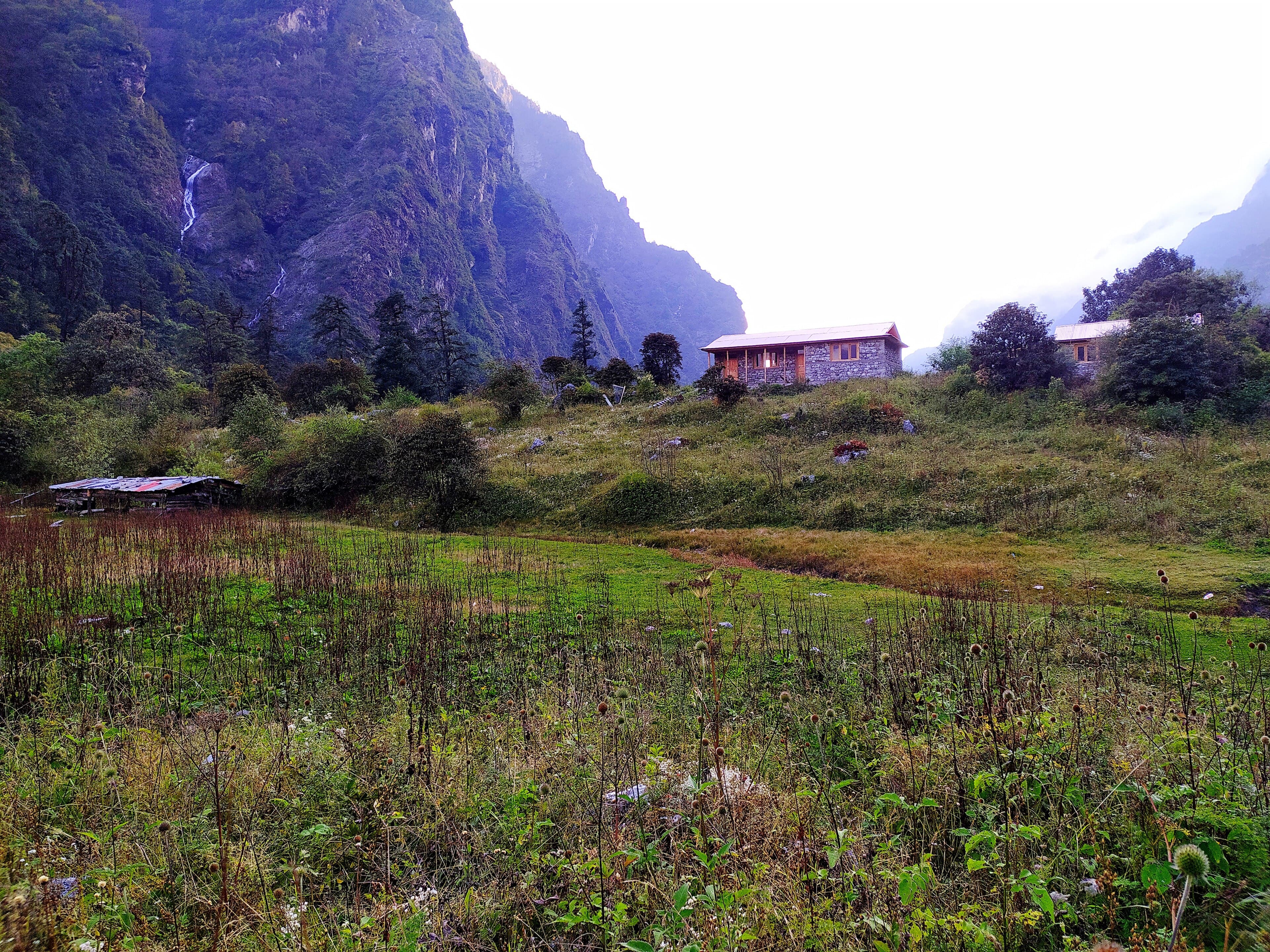
Helambu
OSM hiking route Helambu, Nepal (43.41 km line). Permits are the headline (official NTB/NTNC 2026-09-21). Vertical figures from the Wave N GLO-30 resample.
Distance 38.69 km Reported · Ascent provisional (DEM sample) · High point provisional (DEM sample) · 7d · SAC T2
GosainKunda Trek
OSM hiking route GosainKunda Trek, Nepal (38.69 km line). Permits are the headline (official NTB/NTNC 2026-09-21). Vertical figures from the Wave N GLO-30 resample.