
Switzerland · catalog list
Best hikes in Graubünden
Every hike this desk holds in Graubünden, shortest stored distance first. This is the catalog, not a scored ranking and not a route planner.
Graubünden region desk · Filter by grade, duration, and permit
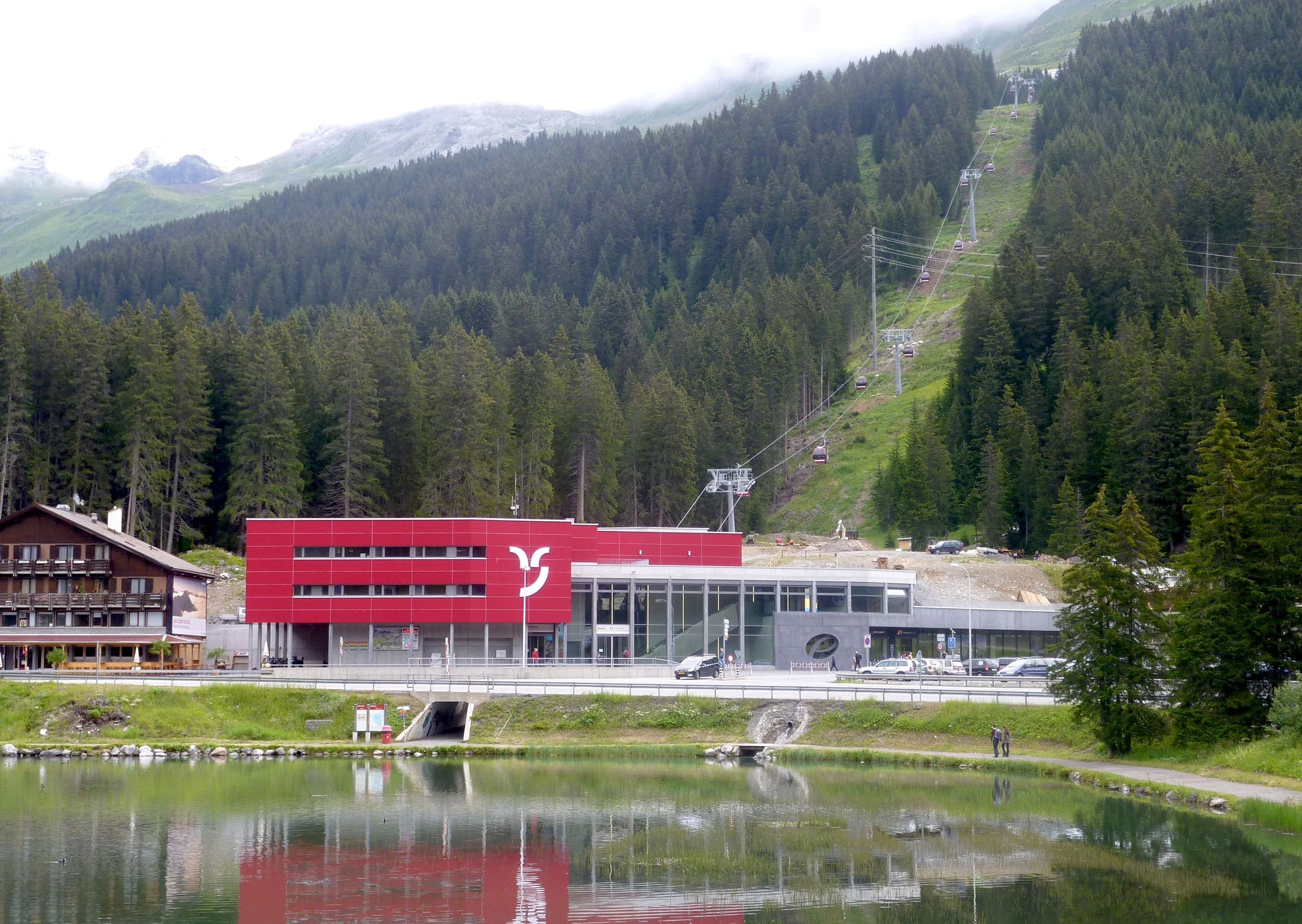
Wanderland: technical and physical grades on the route page · SAC T2 (mapped — no official SAC grade) · YDS 1
Mittelbünden-Panoramaweg
Verified OSM relation: SchweizMobil regional hiking route 54, Mittelbünden-Panoramaweg, Lenzerheide to Davos, 40.6 km OSM 2-D. Vertical figures sampled from Copernicus GLO-30.
40.6 km · 2 days · permit-free on this record
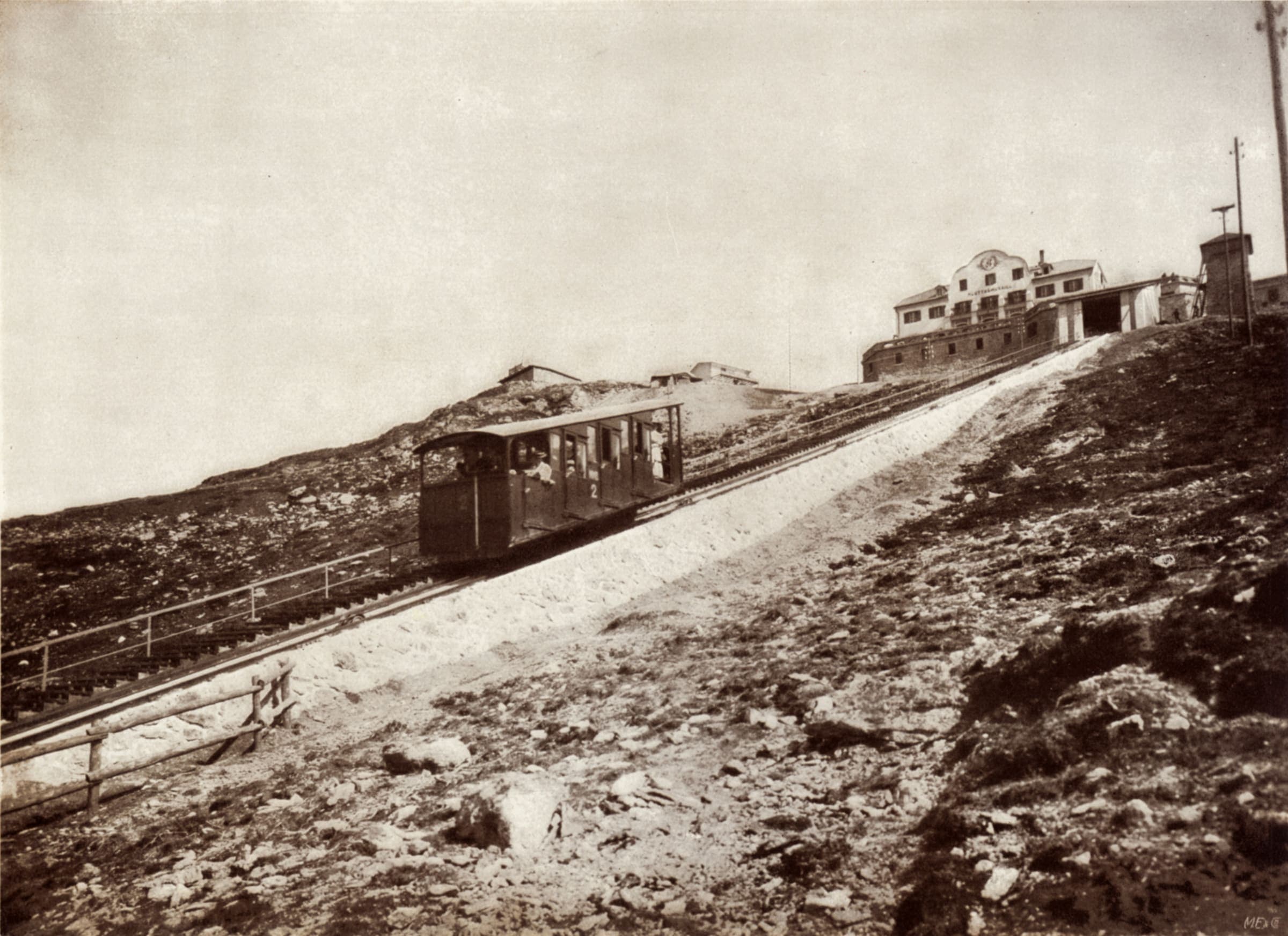
Wanderland: technical mittel, physical schwer · SAC T2–T3 (mapped — no official SAC grade) · YDS 1
Senda Segantini
Verified OSM relation: SchweizMobil regional hiking route 25, Senda Segantini, Savognin to Muottas Muragl, 72.3 km OSM 2-D. Vertical figures sampled from Copernicus GLO-30.
72.3 km · 4 days · permit-free on this record
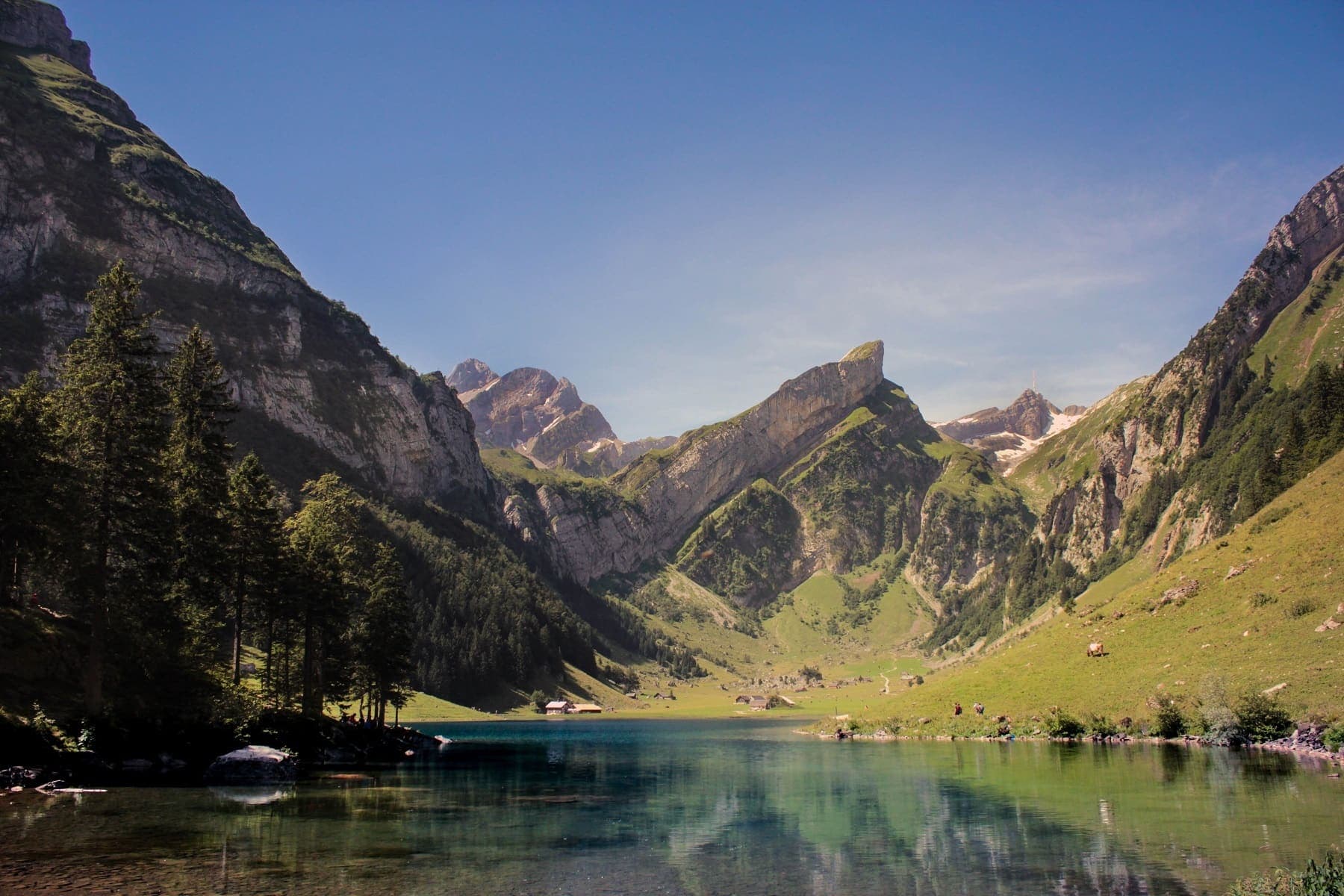
Wanderland: technical and physical grades on the route page · SAC T2 (mapped — no official SAC grade) · YDS 1
Prättigauer Höhenweg
Verified OSM relation: SchweizMobil regional hiking route 72, Prättigauer Höhenweg, Landquart to Klosters, 76.1 km OSM 2-D. Vertical figures sampled from Copernicus GLO-30.
76.1 km · 4 days · permit-free on this record
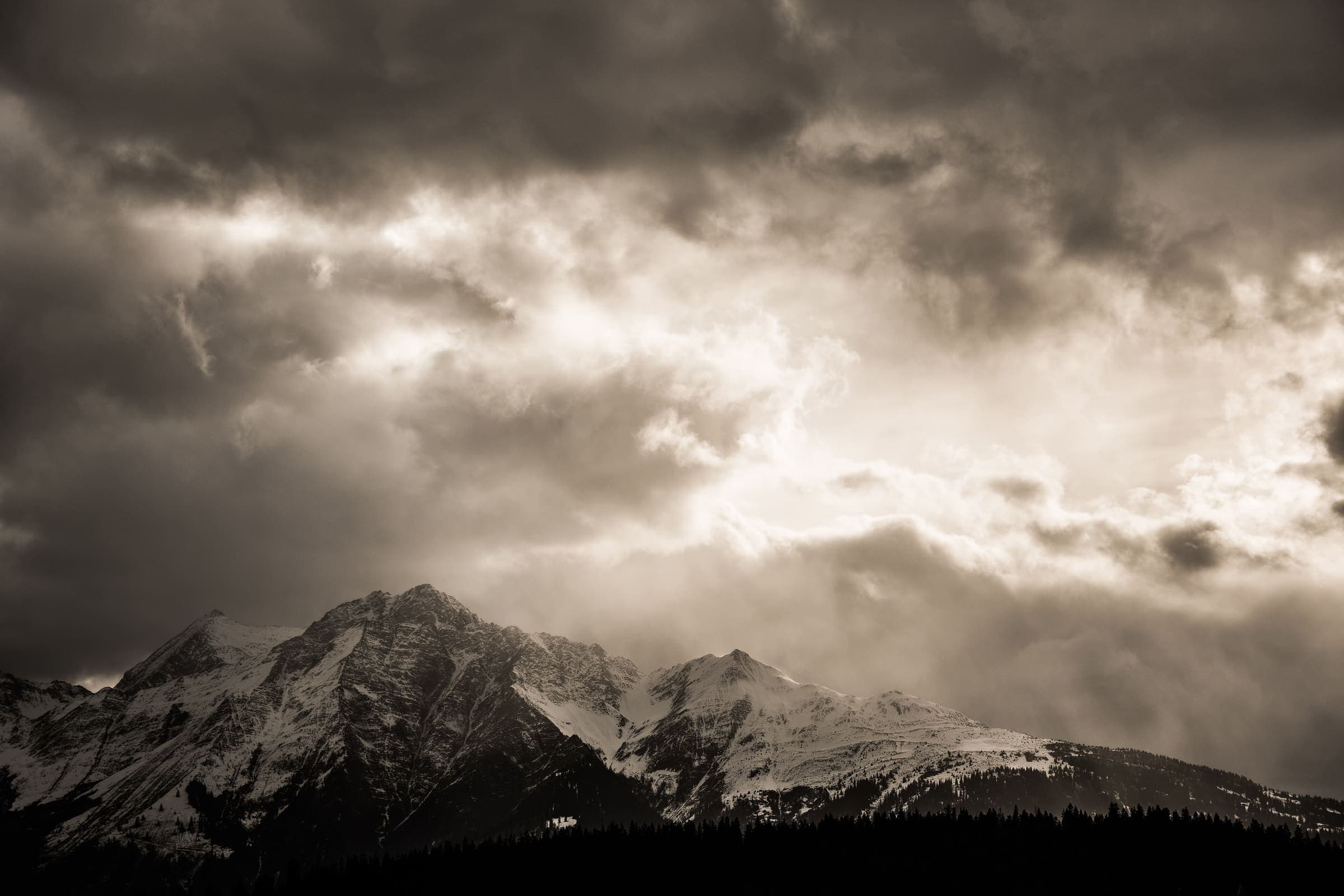
Wanderland: technical and physical grades on the route page · SAC T2 (mapped — no official SAC grade) · YDS 1
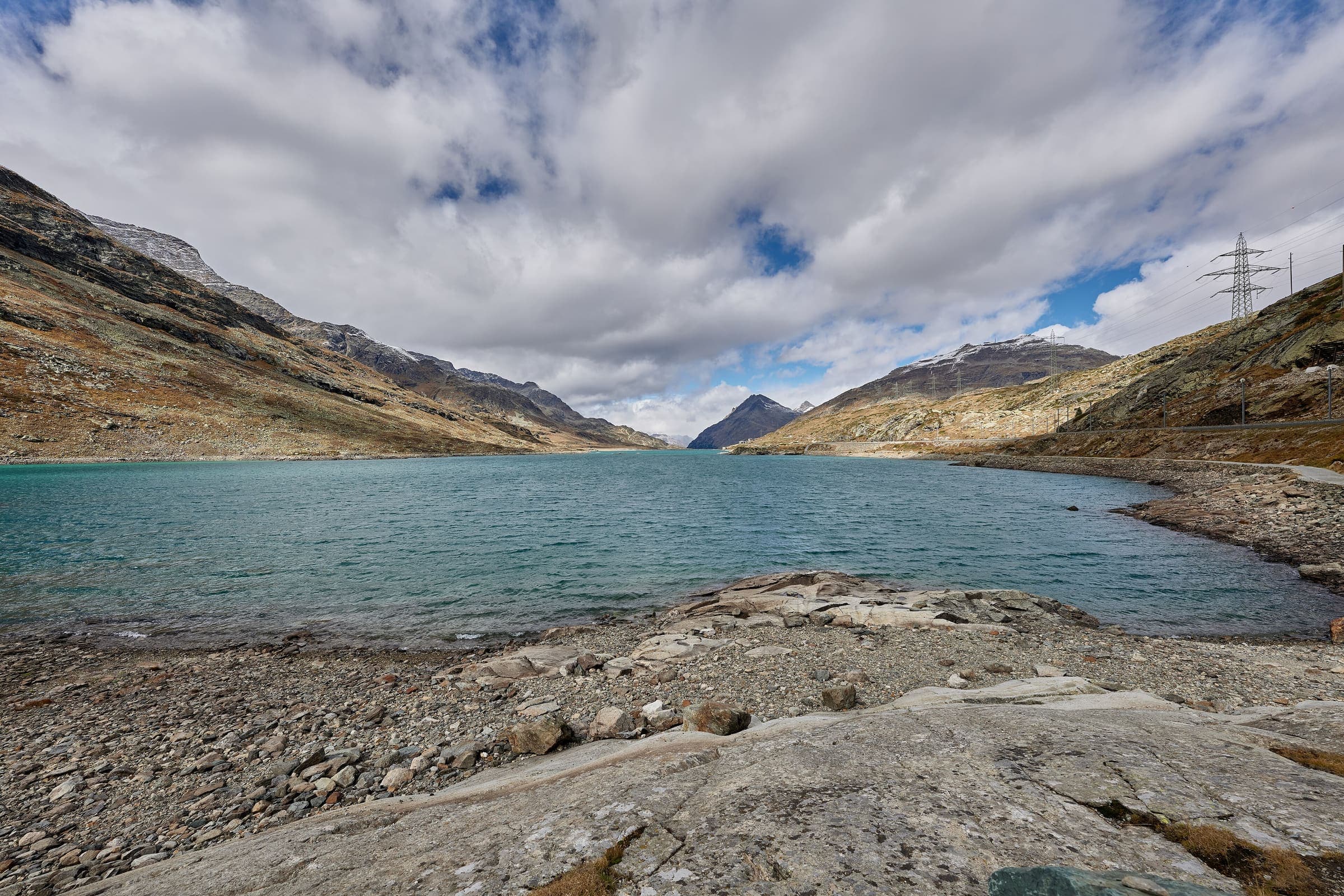
Senda Sursilvana
Verified OSM relation: SchweizMobil regional hiking route 85, Senda Sursilvana, Oberalppass to Chur, 104.1 km OSM 2-D. Vertical figures sampled from Copernicus GLO-30.
104.1 km · 5 days · permit-free on this record
Wanderland: technical and physical grades on the route page · SAC T2 (mapped — no official SAC grade) · YDS 1
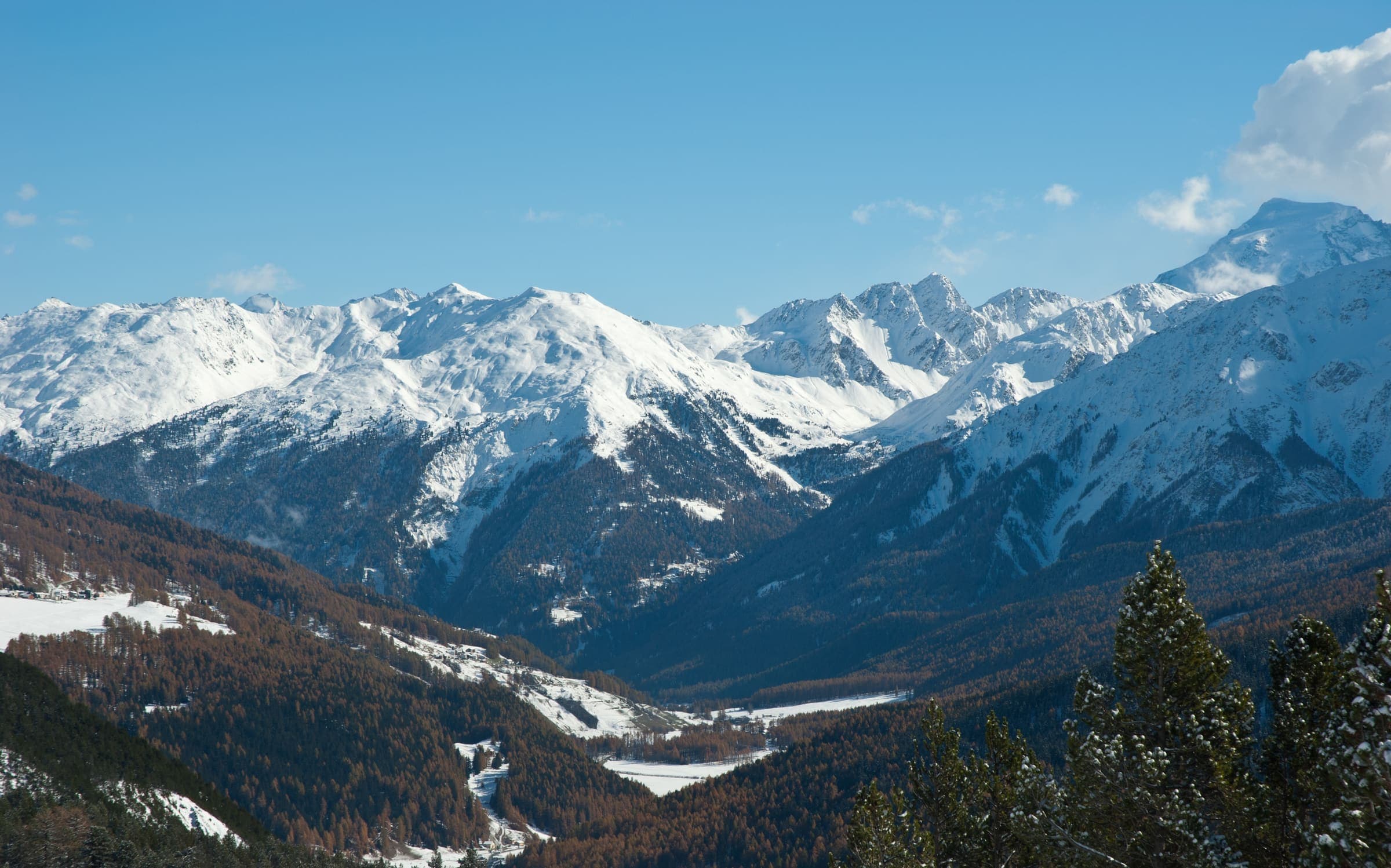
Via Albula/Bernina
Verified OSM relation clipped to the Swiss national boundary: SchweizMobil regional hiking route 33, Via Albula/Bernina, Thusis toward the Italian border (128.5 km OSM 2-D Swiss span). Official route continues into Italy; only the Swiss section is shown. Vertical figures sampled from Copernicus GLO-30.
128.5 km · 10 days · permit-free on this record
Wanderland: technical mittel, physical mittel · SAC T2–T3 (mapped — no official SAC grade) · YDS 1
Jakobsweg Graubünden
Verified OSM relation: SchweizMobil regional hiking route 43, Jakobsweg Graubünden, Müstair to Oberalppass, 261.1 km OSM 2-D. Vertical figures sampled from Copernicus GLO-30.
261.1 km · 19 days · permit-free on this record