
Hiking trails in Graubünden
Switzerland · CH
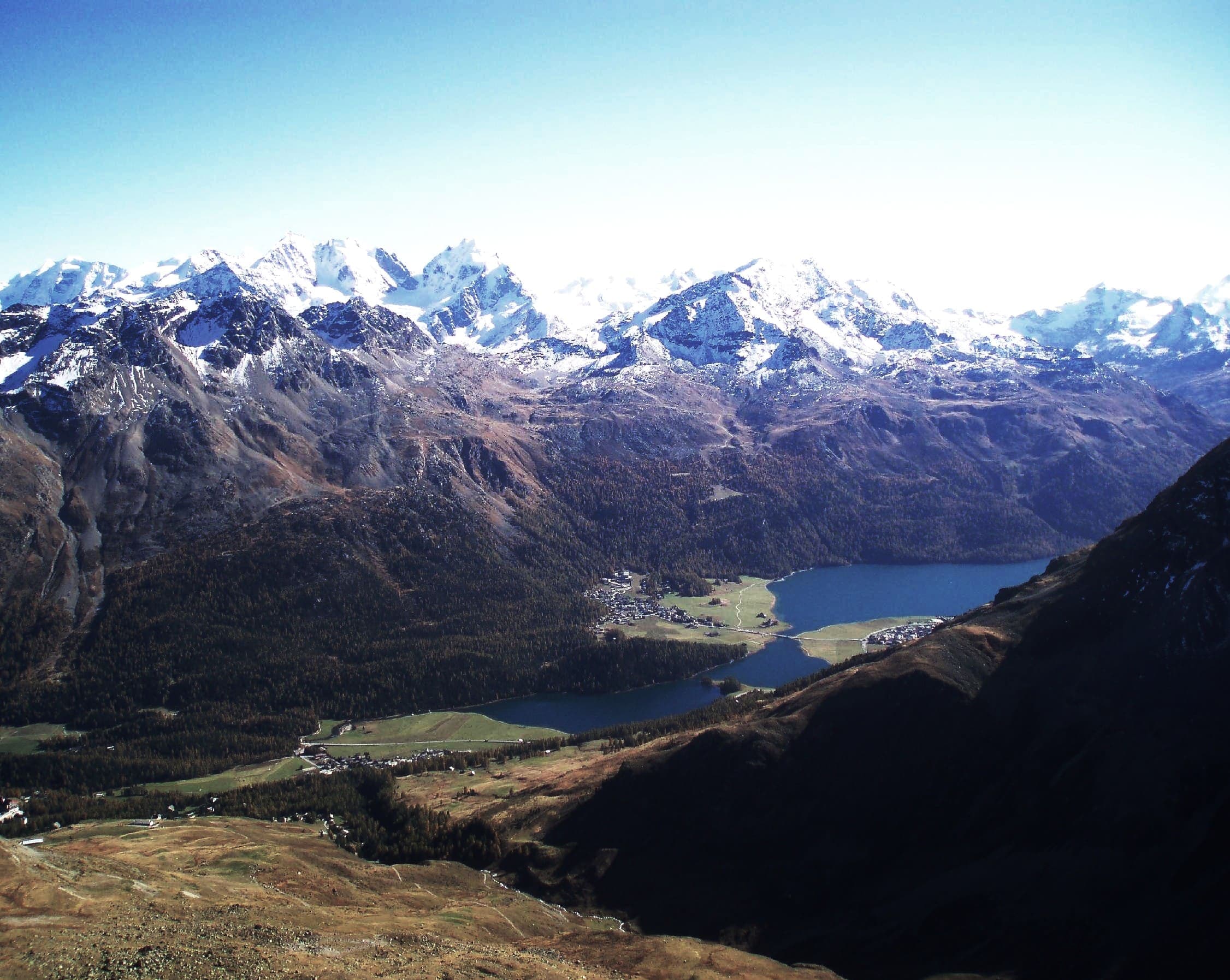
Switzerland's largest canton — Engadin valleys, the Albula/Bernina corridor, and high alpine passes.
Key facts
Each figure is the stored value and its tier. A blank cell was not recorded.
| Trail | Distance | High point | Permit |
|---|---|---|---|
| Senda Segantini | 72.3 km · Reported | 2731 m · Computed | Unverified |
| Jakobsweg Graubünden | 261.1 km · Reported | 2608 m · Computed | Unverified |
| Mittelbünden-Panoramaweg | 40.6 km · Reported | 2852 m · Computed | Unverified |
| Prättigauer Höhenweg | 76.1 km · Reported | 2272 m · Computed | Unverified |
| Senda Sursilvana | 104.1 km · Reported | 2158 m · Computed | Unverified |
| Via Albula/Bernina | 128.5 km · Reported | 2469 m · Computed | Unverified |
Map loads when this section is on screen.
Trails
Hikes in Graubünden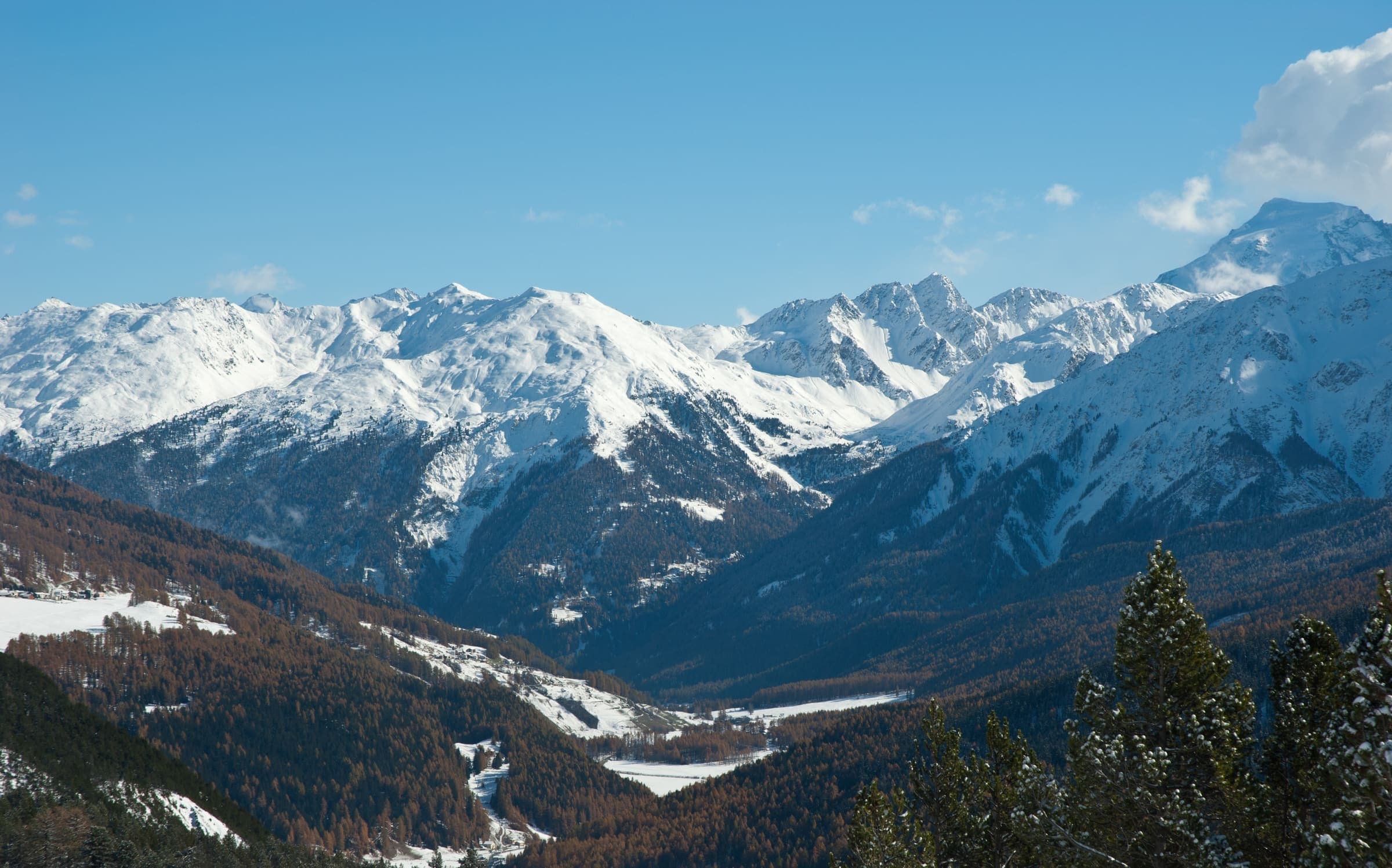
Distance 261.1 km Reported · Ascent not published · High point Computed · T2 · OSM route
Jakobsweg Graubünden
Reported OSM relation: SchweizMobil regional hiking route 43, Jakobsweg Graubünden, Müstair to Oberalppass, 261.1 km OSM 2-D. Vertical figures sampled from Copernicus GLO-30.
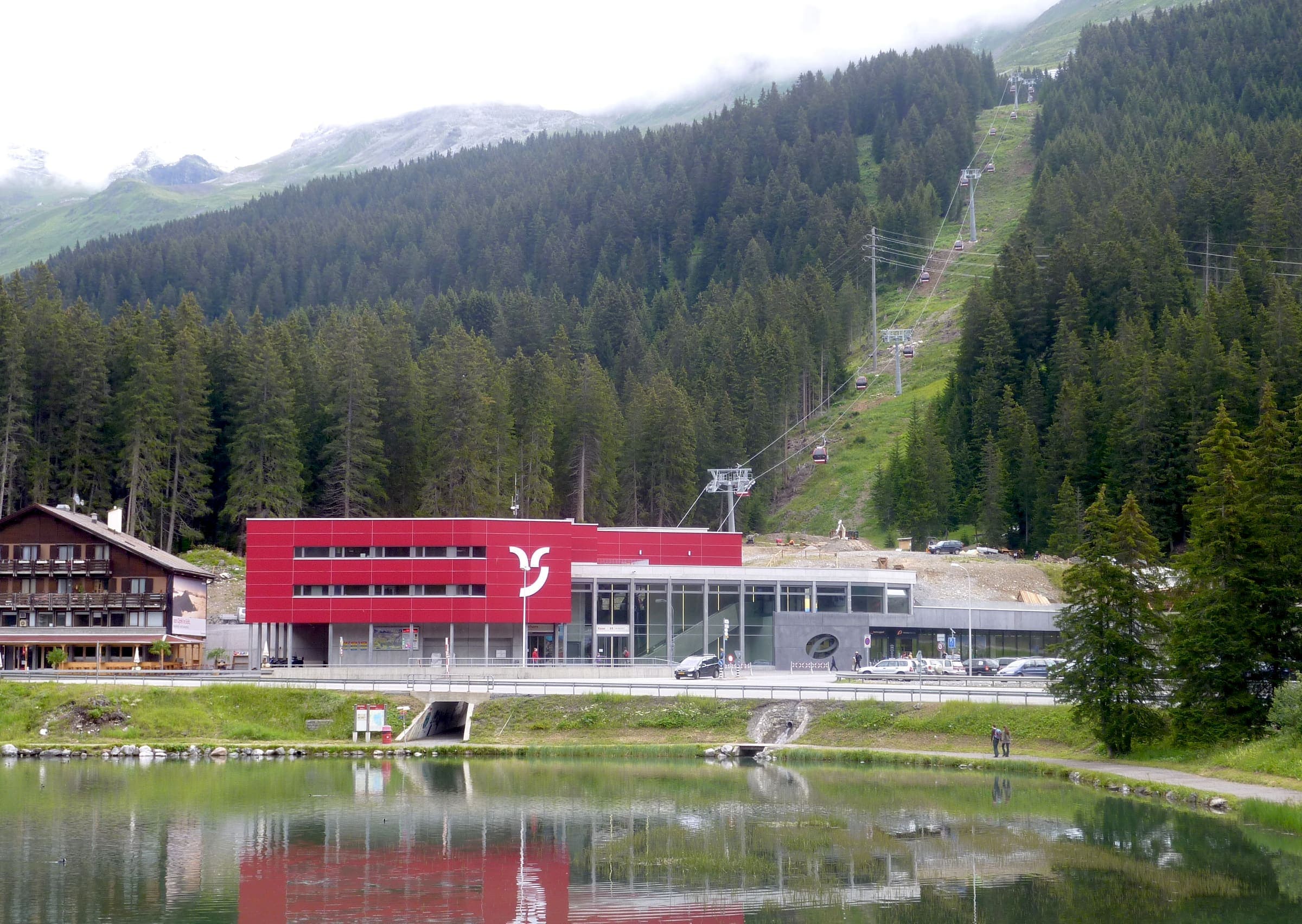
Distance 40.6 km Reported · Ascent Computed · High point Computed · T2 · OSM route
Mittelbünden-Panoramaweg
Reported OSM relation: SchweizMobil regional hiking route 54, Mittelbünden-Panoramaweg, Lenzerheide to Davos, 40.6 km OSM 2-D. Vertical figures sampled from Copernicus GLO-30.
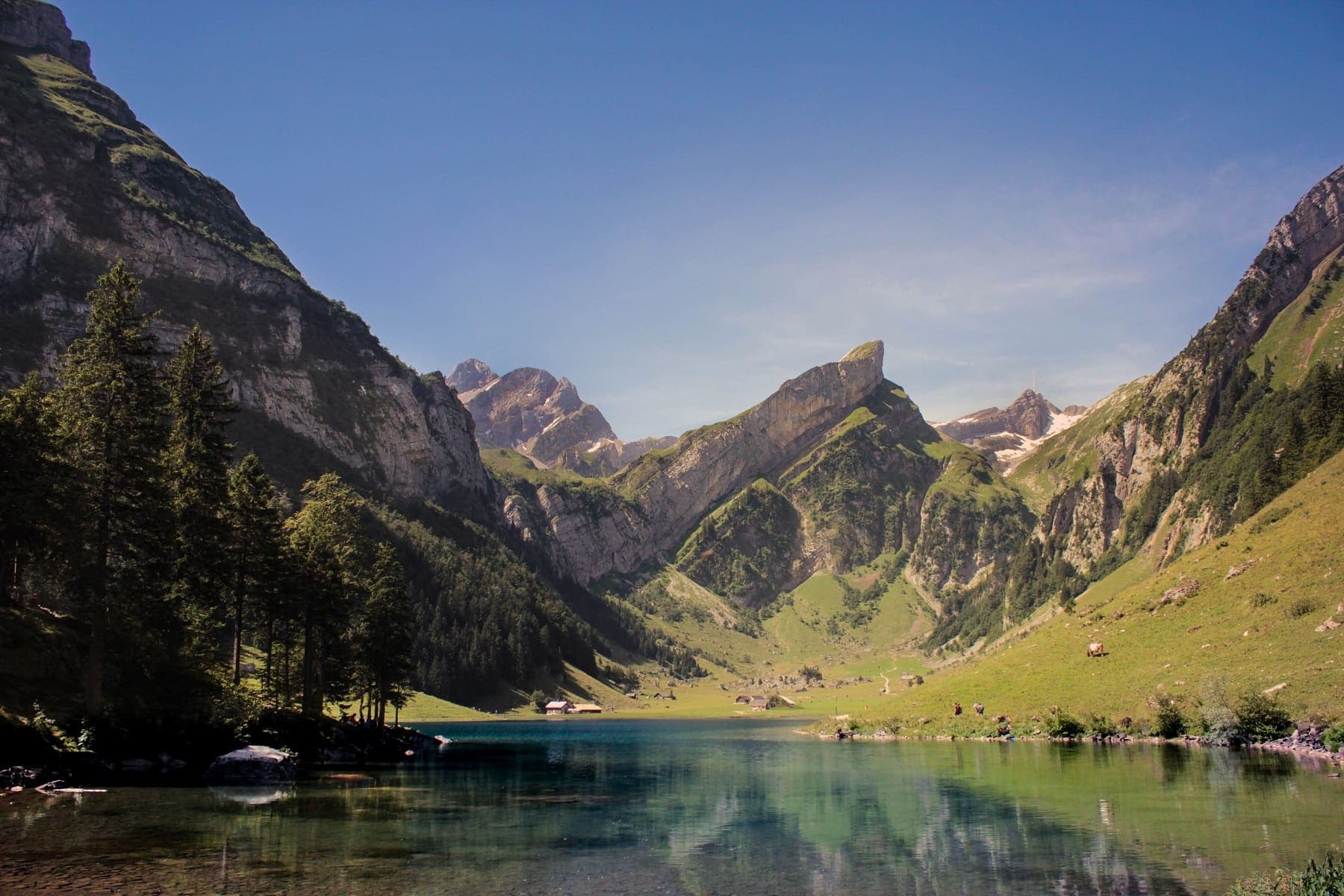
Distance 76.1 km Reported · Ascent not published · High point Computed · T2 · OSM route
Prättigauer Höhenweg
Reported OSM relation: SchweizMobil regional hiking route 72, Prättigauer Höhenweg, Landquart to Klosters, 76.1 km OSM 2-D. Vertical figures sampled from Copernicus GLO-30.
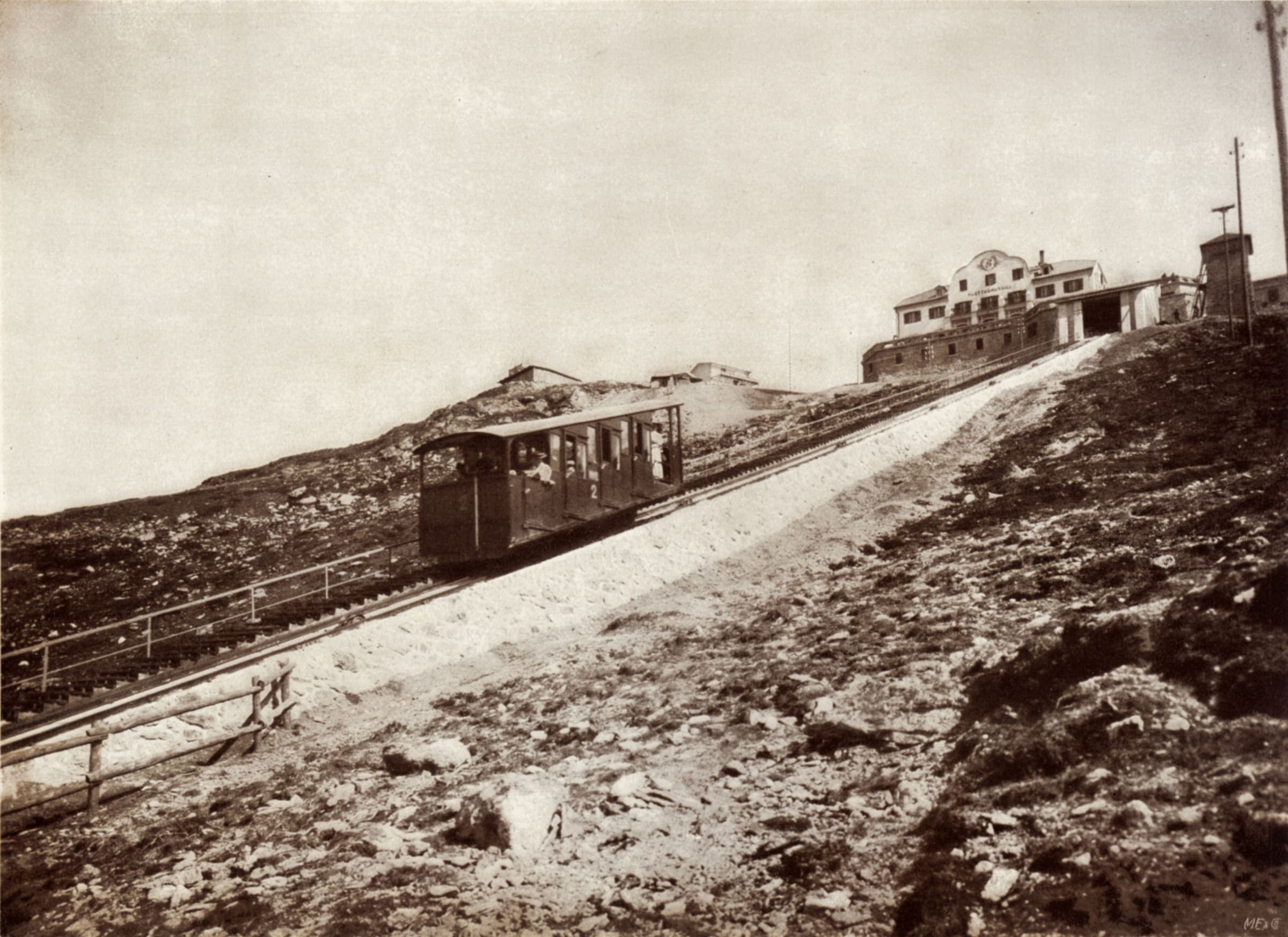
Distance 72.3 km Reported · Ascent not published · High point Computed · T2 · OSM route
Senda Segantini
Reported OSM relation: SchweizMobil regional hiking route 25, Senda Segantini, Savognin to Muottas Muragl, 72.3 km OSM 2-D. Vertical figures sampled from Copernicus GLO-30.
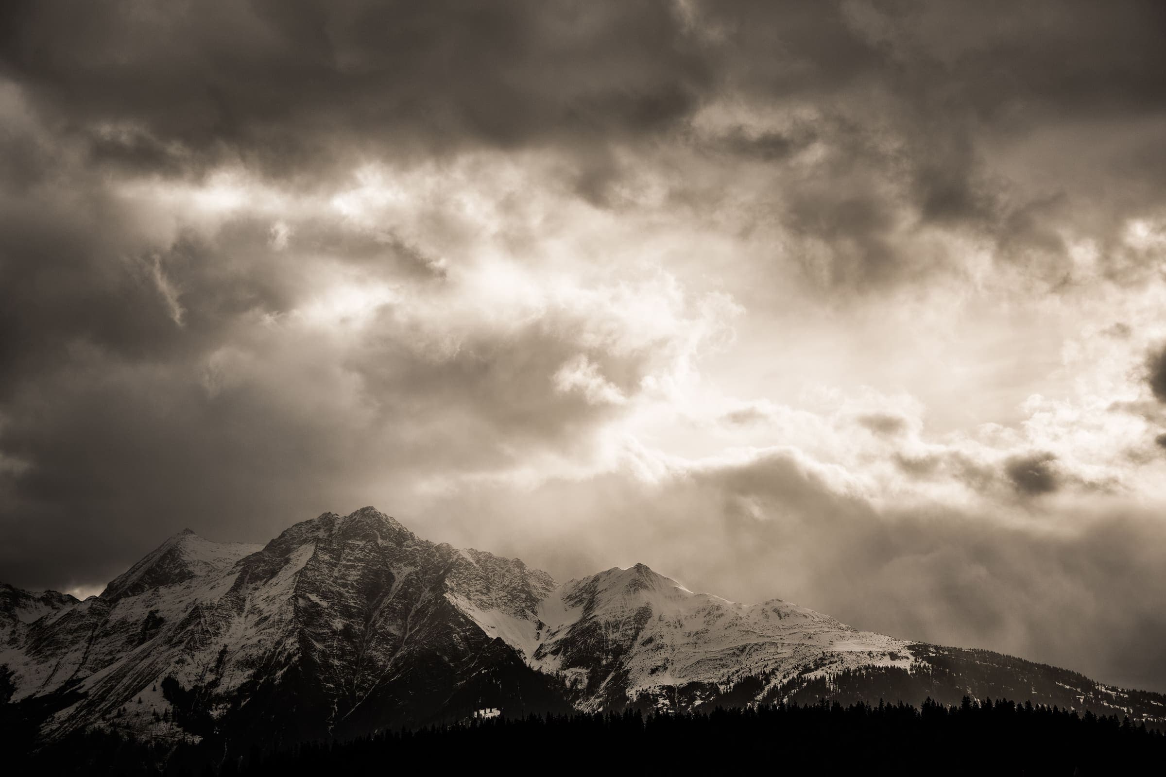
Distance 104.1 km Reported · Ascent not published · High point Computed · T2 · OSM route
Senda Sursilvana
Reported OSM relation: SchweizMobil regional hiking route 85, Senda Sursilvana, Oberalppass to Chur, 104.1 km OSM 2-D. Vertical figures sampled from Copernicus GLO-30.
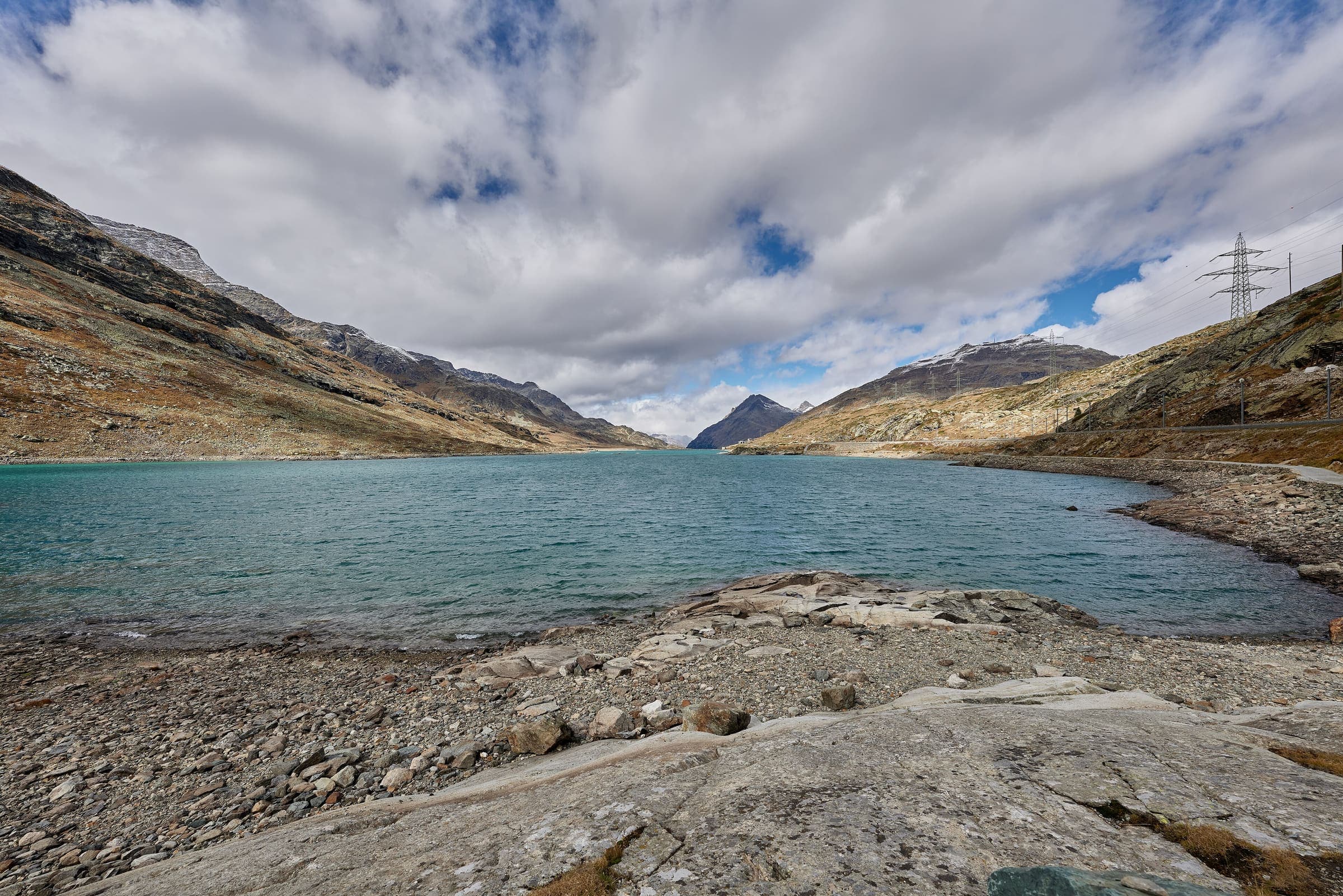
Distance 128.5 km Reported · Ascent not published · High point Computed · T2 · OSM route
Via Albula/Bernina
Reported OSM relation clipped to the Swiss national boundary: SchweizMobil regional hiking route 33, Via Albula/Bernina, Thusis toward the Italian border (128.5 km OSM 2-D Swiss span). Official route continues into Italy; only the Swiss section is shown. Vertical figures sampled from Copernicus GLO-30.