
Mountain guide · Peak · 2026
Shishapangma
A complete guide to the peak, from an adjudicated evidence sheet. Sourced or not recorded — never estimated.
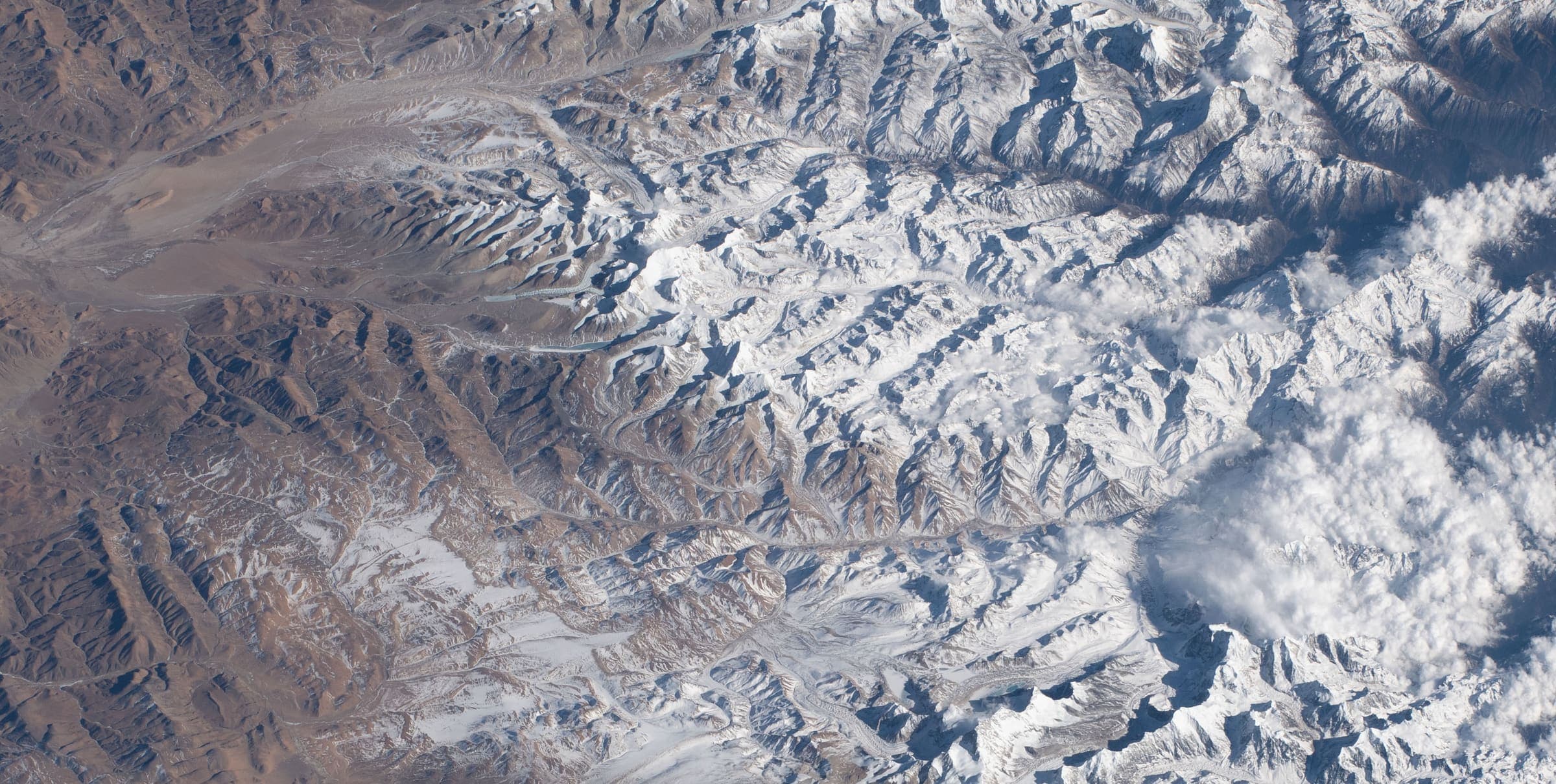
This is a guide to the peak, not a trail record. Passes, lakes, forts, and base-camp walks stay on trail pages.
Quick Facts
Elevation
8027 m
en.wikipedia.org · verified 2026-09-21Range
Jugal Himal
en.wikipedia.org · verified 2026-09-21Location
China (entirely within Tibet/China)
en.wikipedia.org · verified 2026-09-21First ascent (date)
1964 (May 2)
en.wikipedia.org · verified 2026-09-21First ascent (party)
Xu Jing, Zhang Junyan, Wang Fuzhou, Chen San, Cheng Tianliang, Wu Zongyue, Sodnam Doje, Migmar Zhaxi, Doje, Yonten (Chinese expedition)
en.wikipedia.org · verified 2026-09-21
Origin & Geology
Formation / geology
Jugal Himal (contiguous with Langtang Himal) on the dry north side of the Himalayan crest. Himalayan orogen (Indian–Eurasian collision). Peak-specific stratigraphy not extracted this pass.
en.wikipedia.org · verified 2026-09-21Name origin
Geologist Toni Hagen: shisha/chisa (comb or range) + pangma (grassy plain) = crest above the grassy plains. Alternative local story (Hazod): shisha sbangma as meat of animals that died of natural causes and malt dregs. Nepali Gosainthan = place of the saint / abode of God.
en.wikipedia.org · verified 2026-09-21Cultural history
Not recorded
Climbing History
First ascent (date)
1964 (May 2)
en.wikipedia.org · verified 2026-09-21First ascent (party)
Xu Jing, Zhang Junyan, Wang Fuzhou, Chen San, Cheng Tianliang, Wu Zongyue, Sodnam Doje, Migmar Zhaxi, Doje, Yonten (Chinese expedition)
en.wikipedia.org · verified 2026-09-21
First ascent recorded above. No further sourced milestones this pass.
Success & Statistics
Recorded in the Himalayan Database, but specific per-peak figures were NOT extracted this pass. The Himalayan Database (https://www.himalayandatabase.com/) maintains comprehensive expedition, summit, and fatality records for the Nepal Himalaya (and historically-tracked Tibet/Himalaya peaks). Populating total ascents, success rate, and fatality rate requires a direct query against that dataset (it is a licensed database, not a scrapeable page) or a rigorously-cited published analysis. We do NOT estimate these numbers.
Pros / Cons
Generic editorial notes. No peak-specific crowding, cost, or hazard claim is invented here.
For
- A named summit is a distinct objective from any related walking approach.
- Elevation, range, location, and first-ascent facts appear here only when the evidence sheet cites them.
Against
- Altitude, weather, and terrain can turn a day. Hazards belong on the trail record where we hold them — not as invented peak-specific warnings here.
- Permits, fees, and route grades stay Unverified on this page until an official source is cited. This is not a route plan.
Logistics
Best season
Unverified
Routes and grades
Unverified
Permit
Entirely in Tibet/China — Nepal DoT royalty does not apply. Official CTMA/Tibet mountaineering tariff and open/closed status were not fetched from an official page this pass.
en.wikipedia.org · verified 2026-09-21Fitness
Unverified
These are expedition-grade mountaineering objectives, not trekking peaks; no trail record is implied.
Also in this desk: Mountain guides · Himalayan altitude · How we verify.