
Hiking trails in United States
US
The United States opens here on the John Muir Trail — Happy Isles in Yosemite Valley to the summit of Mt Whitney through the high Sierra. A Yosemite wilderness permit (lottery) covers a continuous JMT thru-hike; allowed bear canisters are required in Yosemite Wilderness. This is not the Pacific Crest Trail.
11 edited records · 7 with an official fee on the issuer’s page. Permit calendar · Include catalogue stubs (1720 total)
Regions
9 records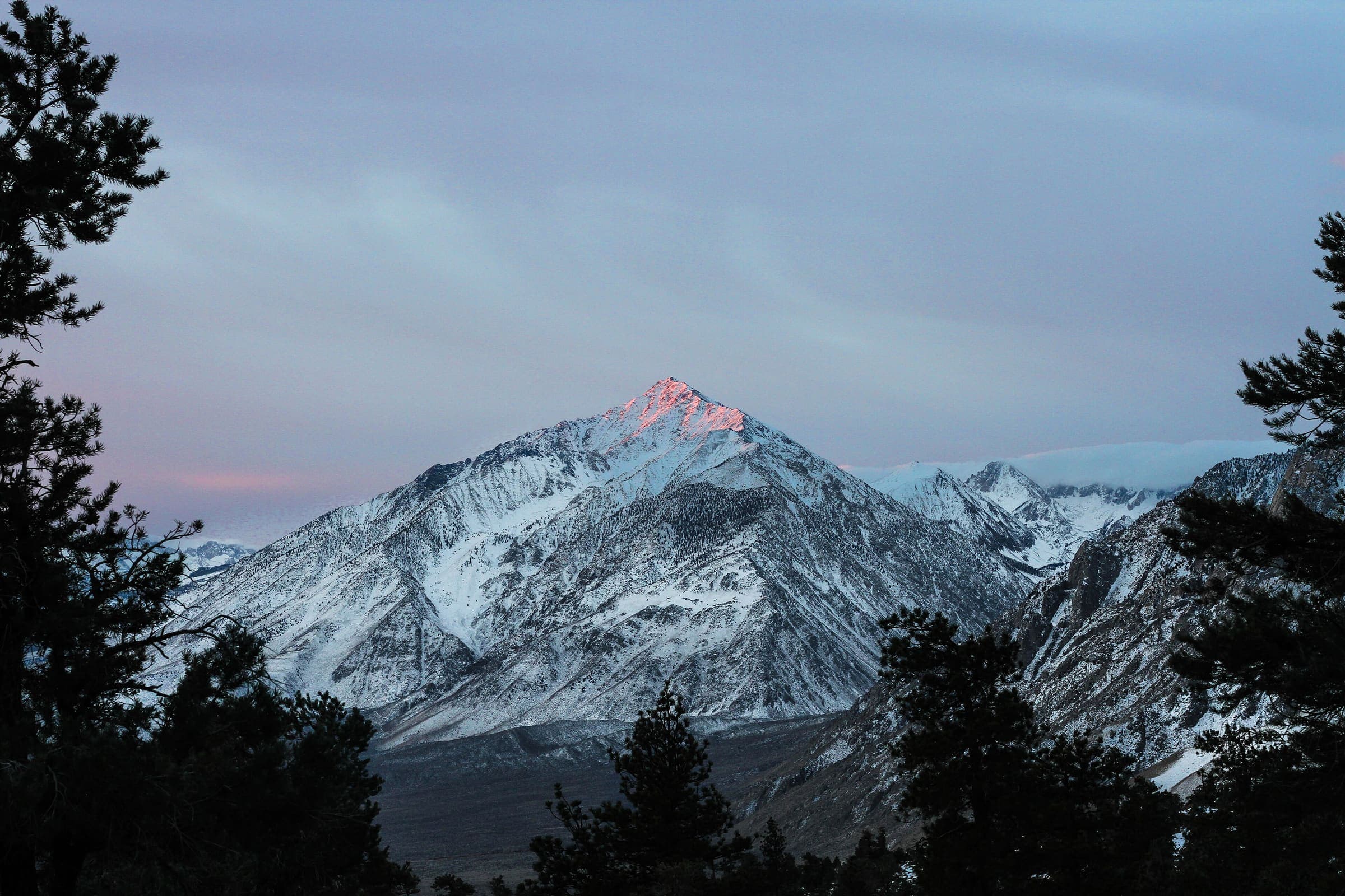
Northern America
Sierra Nevada
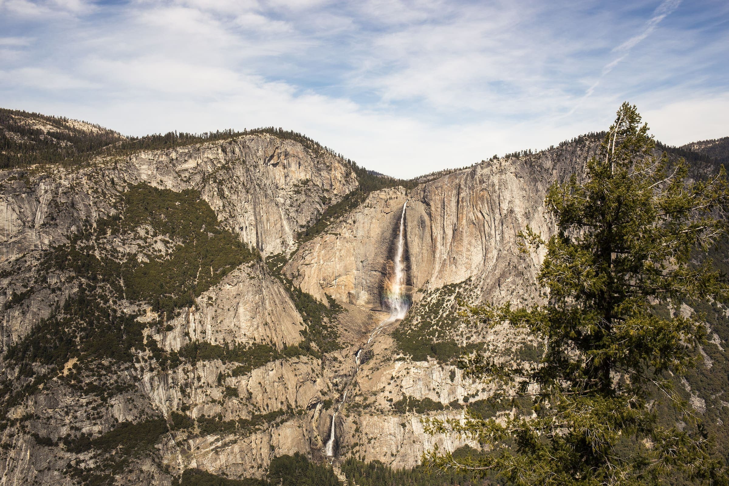
California's high Sierra — granite domes, alpine passes, and the contiguous US's highest terrain, spanning Yosemite, Kings Canyon, and Sequoia.
Northern America
Vermilion Cliffs
Coyote Buttes on the Arizona–Utah line — slickrock walking to The Wave inside Vermilion Cliffs National Monument. Not the Sierra.
Northern America
Zion
Zion National Park, Utah — sandstone canyons and the Angels Landing chains. Park entry is separate from the chains permit.
Northern America
Cascades
The Cascade Range in Washington, including the Enchantments permit zones of Okanogan-Wenatchee National Forest.
Northern America
Havasupai
Havasupai tribal land in the Grand Canyon — Havasu Falls is a reservation, not an NPS lottery.
Northern America
Grand Canyon
Grand Canyon National Park corridor trails. Day rim-to-rim has no trail permit; overnight needs a backcountry permit.
Northern America
Mount Rainier
Mount Rainier National Park — Paradise and Sunrise approaches. Rainier 4,392 m is a landmark, not a trail high.
Northern America
Acadia
Acadia National Park on the Maine coast. The Precipice can close for nesting peregrines.
Northern America
United States (tail catalogue)
Bulk OSM tail records for US trails that do not yet map onto a named park or range region.
Trails
11 records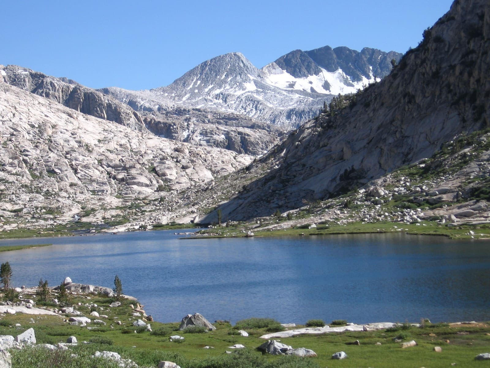
T2 · 335.8 km · 21d
John Muir Trail
OSM John Muir Trail in the Sierra Nevada, United States (335.8 km line), Yosemite Valley toward Mt Whitney. Not the Pacific Crest Trail. Vertical figures sampled from Copernicus GLO-30. Days (28) is a placeholder from round(lengthKm/12), not the published ~3 week window (unverified).

T2 · 10 km · 1d
The Wave (Coyote Buttes North)
Schematic Wire Pass trailhead to The Wave. Not a GPS track and not walking distance. Cited round trip about 10 km is editorial. The Wave is in Arizona; Wire Pass is in Utah.

T3 · 24 km · 1d
Half Dome
Schematic Happy Isles to the Half Dome summit. Not a GPS track. Cited round trip about 24 km is editorial. DEM high 2,648 m governs; the cables are a landmark, not this line.

T3 · 35 km · 1d
Mount Whitney
Schematic Whitney Portal to the summit. Not a GPS track. Cited round trip about 35 km is editorial. DEM high 4,394 m governs; 14,505 ft is a landmark.

T4 · 8.7 km · 1d
Angels Landing
Schematic The Grotto to the Angels Landing summit. Not a GPS track. DEM high 1,595 m. The chains section is a landmark, not this line. Wikidata Q2563959.

T4 · 29 km · 1d
The Enchantments
Schematic Stuart Lake trailhead to Snow Lakes trailhead. Not a GPS track. Aasgard Pass was not resolved, so the alpine high is unknown. Trailhead DEM 1,044 m is not this trail's high. Wikidata Q10315840.

T3 · 32 km · 3d
Havasu Falls
Schematic Hualapai Hilltop, Supai, Havasu Falls. Not a GPS track. DEM high 1,602 m is the hilltop, low 866 m at the falls. Wikidata Q5683183. Overnight package is the itinerary, not a day hike.

T3 · 35 km · 1d
Grand Canyon Rim to Rim
Schematic North Kaibab trailhead, Phantom Ranch, Bright Angel trailhead. Not a GPS track. DEM high 2,514 m at the North Rim, low 773 m at Phantom Ranch. South Kaibab is an alternate south-rim leg and is not merged. Corridor OSM relations stay related, not this line.

T2 · 2.04 km · 1d
Skyline Trail (Mount Rainier)
Schematic Paradise Jackson Visitor Center to Panorama Point. Not a GPS track. Loop type. DEM high 2,101 m. Mount Rainier 4,392 m is a landmark.

T4 · 0 km · 1d
Precipice Trail (Acadia)
One pin: Champlain Mountain, DEM 319 m. Trailhead unresolved. Seasonal peregrine closure is a management note.

T3 · 6.61 km · 1d
Wonderland Trail
Schematic Sunrise Visitor Center to Panhandle Gap. Not the full loop and not a GPS track. DEM high 2,061 m at Panhandle Gap. Mount Rainier 4,392 m is a landmark. The Wonderland mega-relation is related, not measured.