
Sierra Nevada
United States · US
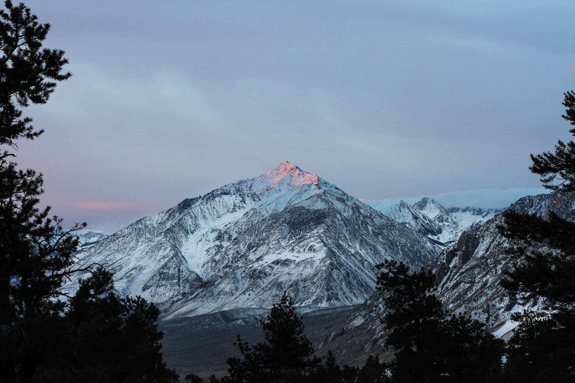
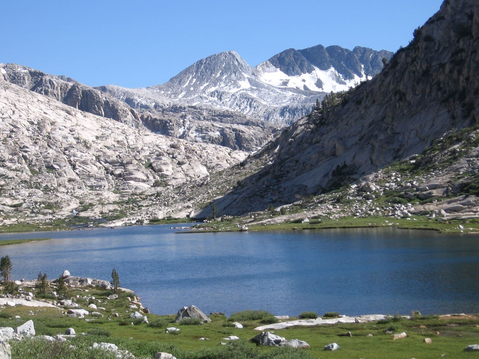
California's high Sierra — granite domes, alpine passes, and the contiguous US's highest terrain, spanning Yosemite, Kings Canyon, and Sequoia.
T2 · 335.8 km · 21d
John Muir Trail
OSM John Muir Trail in the Sierra Nevada, United States (335.8 km line), Yosemite Valley toward Mt Whitney. Not the Pacific Crest Trail. Vertical figures sampled from Copernicus GLO-30. Days (28) is a placeholder from round(lengthKm/12), not the published ~3 week window (unverified).

T3 · 24 km · 1d
Half Dome
Schematic Happy Isles to the Half Dome summit. Not a GPS track. Cited round trip about 24 km is editorial. DEM high 2,648 m governs; the cables are a landmark, not this line.

T3 · 35 km · 1d
Mount Whitney
Schematic Whitney Portal to the summit. Not a GPS track. Cited round trip about 35 km is editorial. DEM high 4,394 m governs; 14,505 ft is a landmark.