
Peru
PE
Peru now holds Cusco and Ancash desks. Cusco still opens on the classic 4-day Inca Trail — Camino Inca a Machu Picchu — a connected OSM relation (not the Qhapaq Ñan network), plus the KM104 short Inca Trail as a curated schematic (~12 km cited one-way; licensed operator; not walking distance; relate-not-merge the classic). Salkantay remains a pin-to-pin schematic. Rainbow Mountain (Vinicunca), Lares, and Huchuy Qosqo are curated schematics with cited itinerary kilometres — never the straight-line pin length. Ancash holds Laguna 69 as a curated schematic (~14 km cited round; Huascarán NP PEN 30 reported secondary). Inca Trail access is operator-arranged on tuboleto.cultura.pe; that classic network is closed all February; in 2026 the citadel ticket is a separate reservation. Permits otherwise lean reported-secondary. Wave P OSM corridors (Choquequirao, Ausangate, Santa Cruz, Huayhuash, Colca) are not yet ingested.
Regions
4 records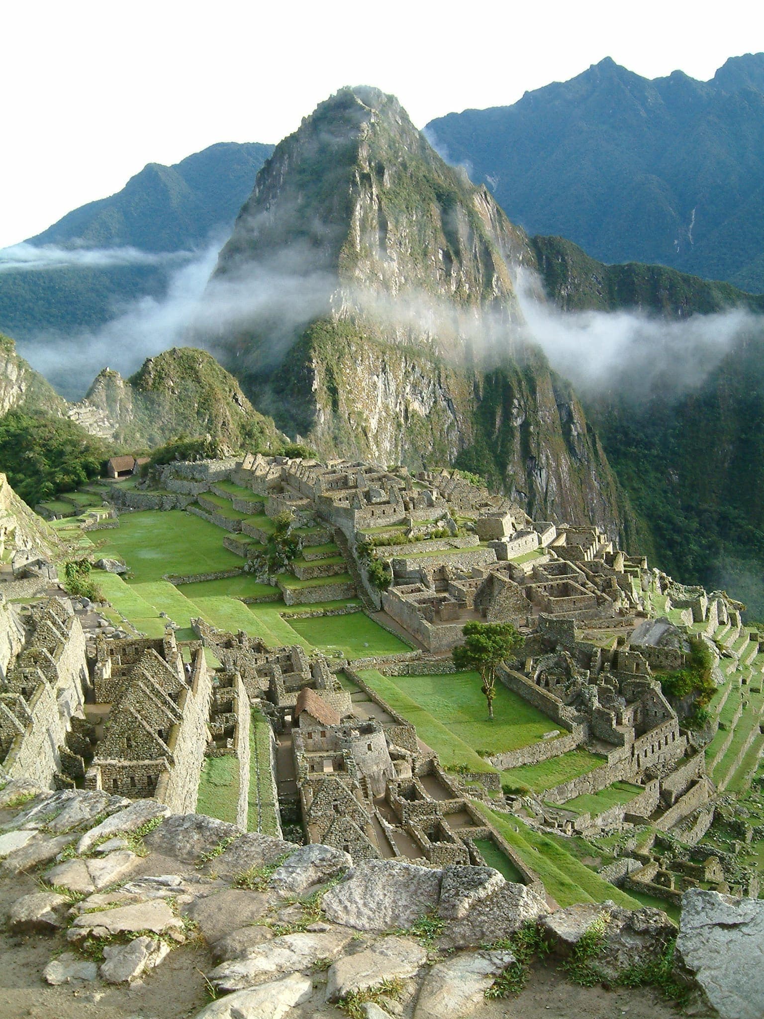
South America
Cusco
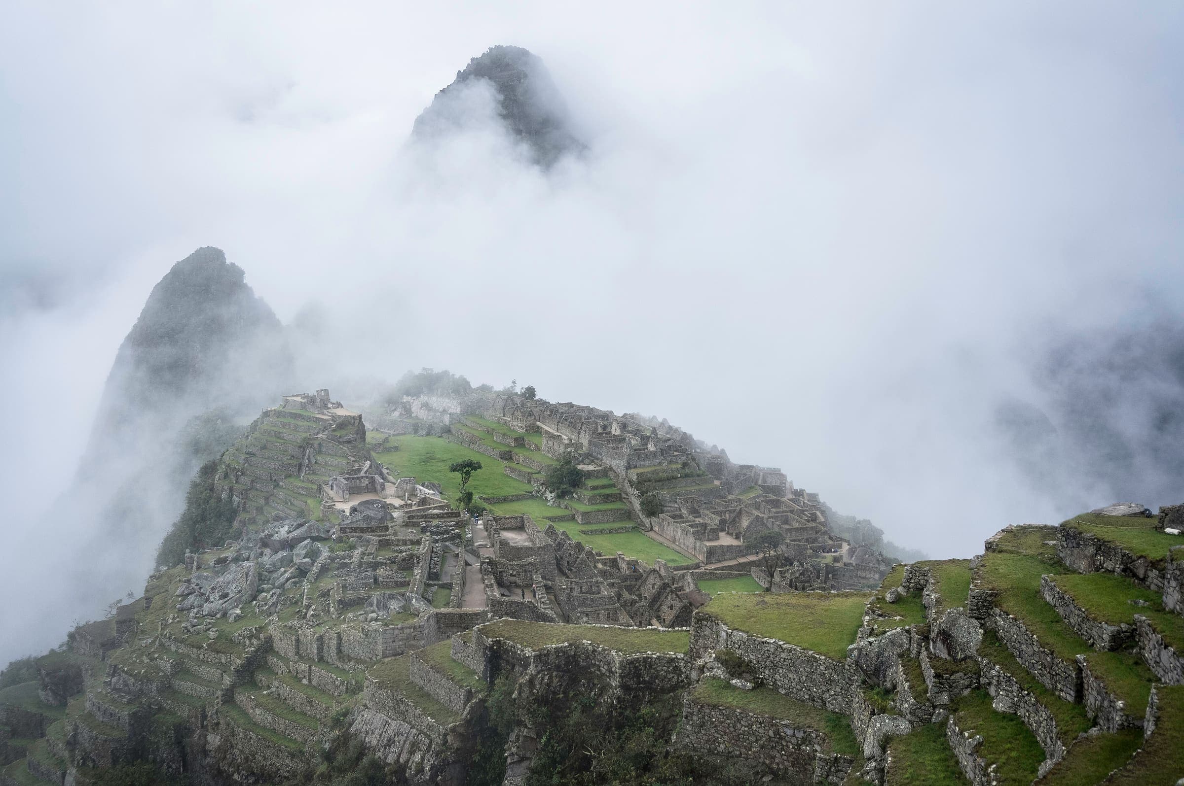
The Andean heartland of the former Inca empire — high passes, cloud forest, and Inca stonework leading to Machu Picchu.
South America
Ancash
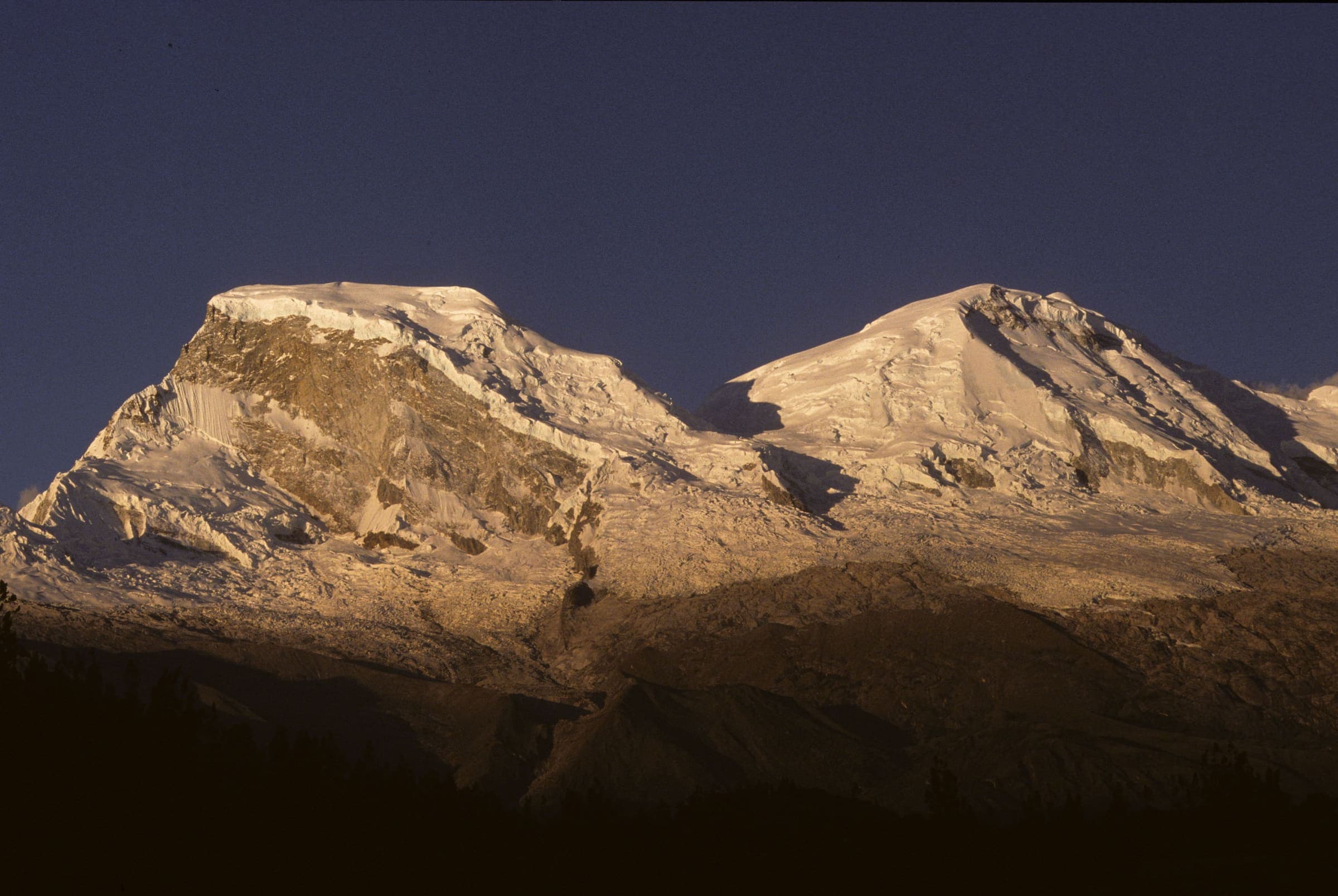
The Cordillera Blanca — Huascarán National Park lakes and high glacier valleys above the Callejón de Huaylas. Not a summit line.
South America
Arequipa
Colca Canyon country — the Cabanaconde-side path in this catalog is a partial line, not the full oasis circuit.
South America
Peru (tail catalogue)
Bulk OSM tail records for Peru that are not the wired Cusco or Huascarán marquee treks. Permits are unverified.
Trails
24 records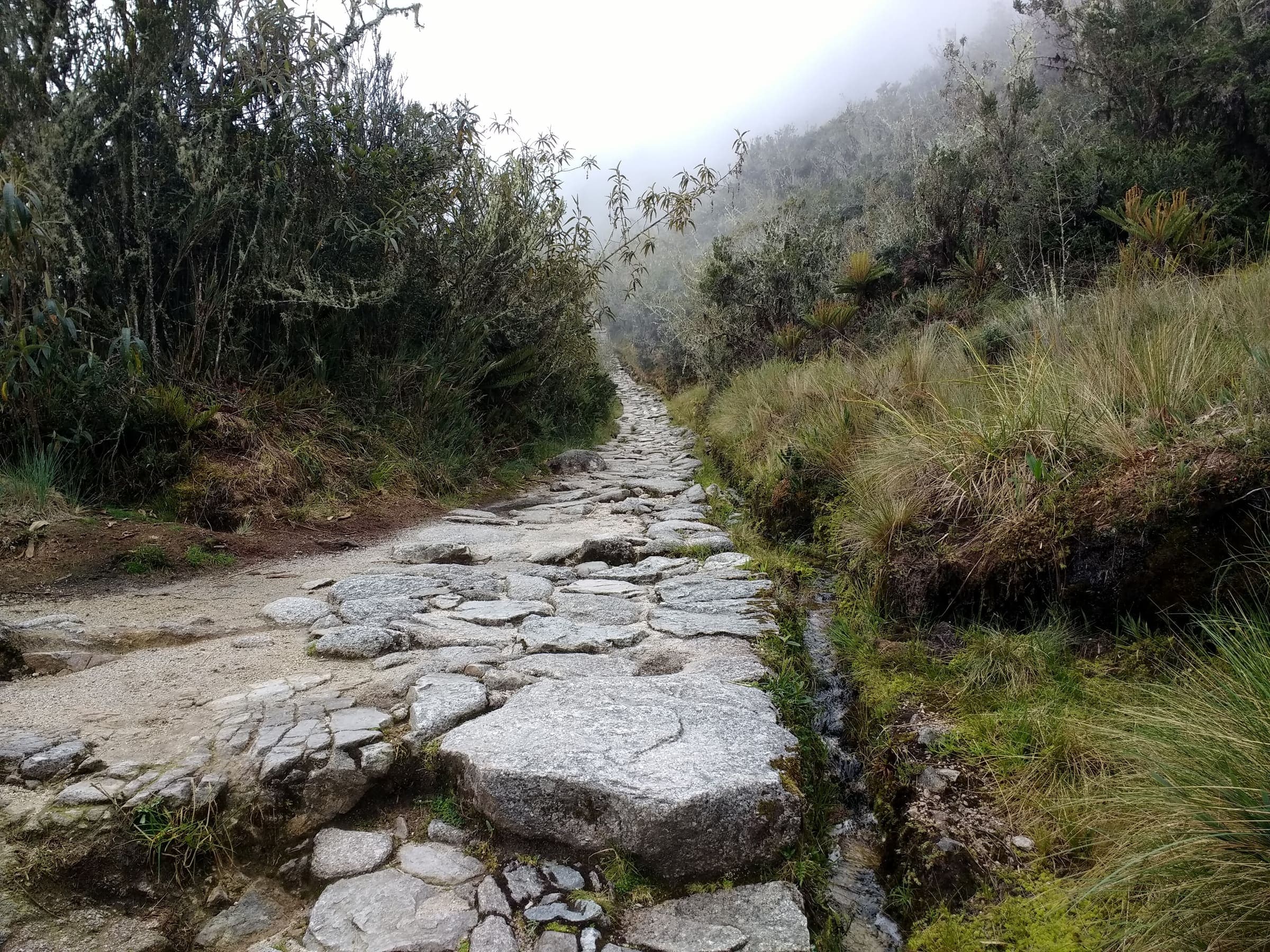
T3 · 38.29 km · 4d
Inca Trail (Classic 4-day)
Classic Inca Trail, OSM relation 15703494 (not Qhapaq Ñan, not Salkantay). Government permit with a hard daily quota: 500 people/day including guides and porters, licensed operator only, no independent trekking, closed every February. Published OSM line 38.29 km, DEM high 4,211 m.
T1 · 75.08 km · 5d
Salkantay Trek
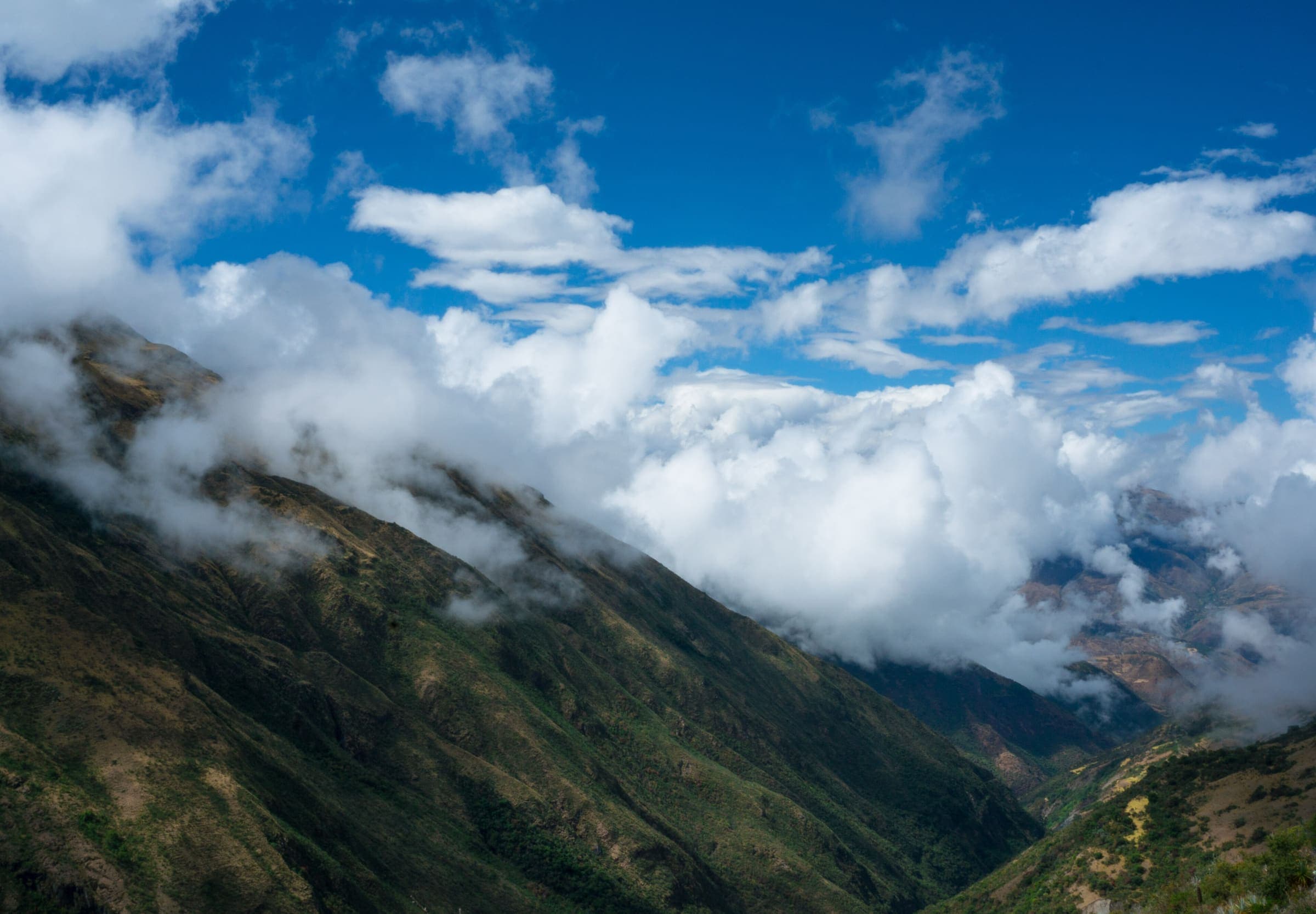
Salkantay Trek, OSM relation 2376237 (Camino del Inca Salkantay), 75.08 km, DEM high 4,626 m. No government walking permit is reported (secondary); community fees at Soraypampa / Humantay are separate. Not the classic Inca Trail (15703494).
T2 · 12 km · 2d
Short Inca Trail (KM104)
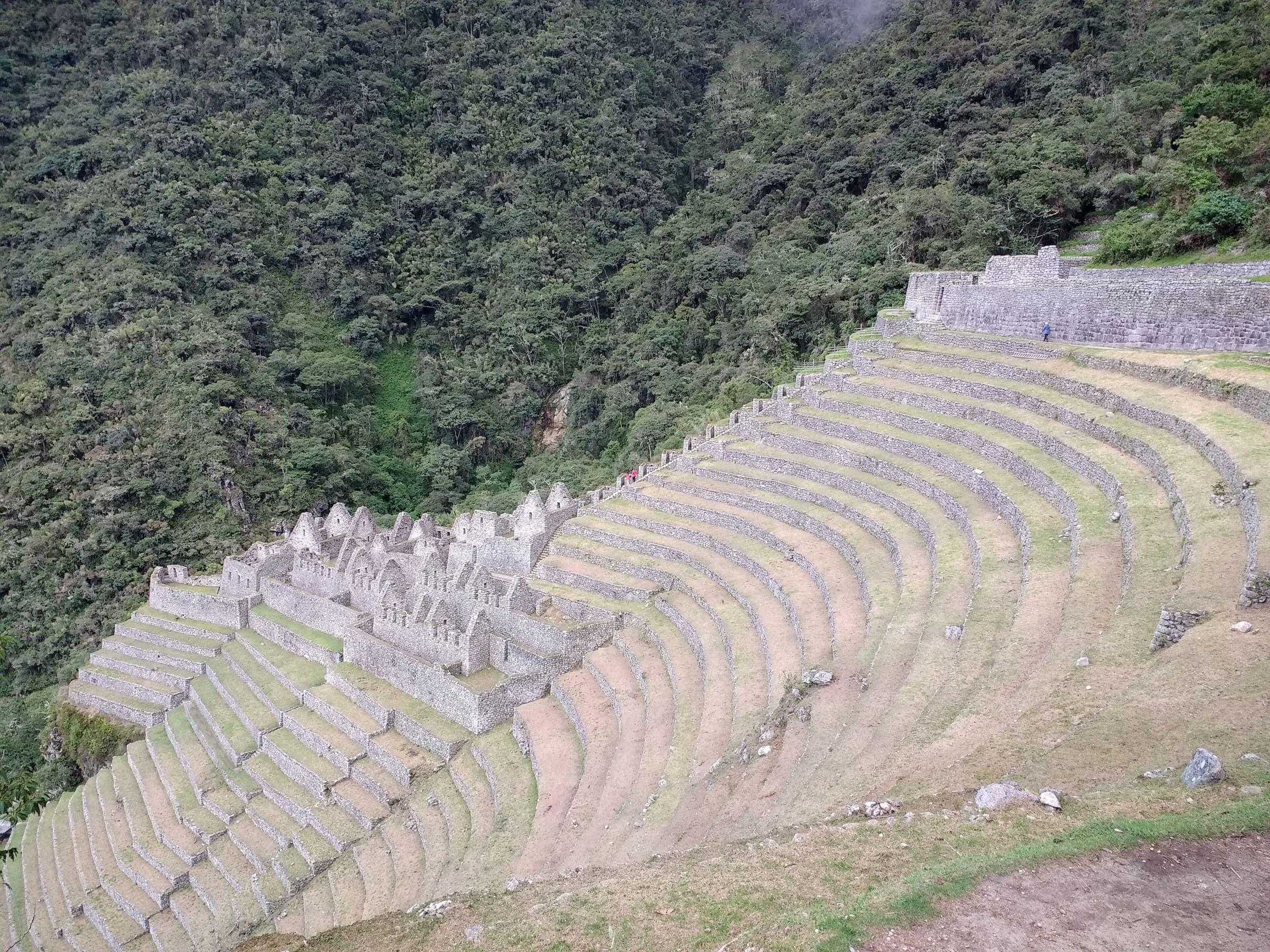
Curated schematic — not walking distance. Pin-to-pin OSM named-waypoint line Chachabamba (KM104) → Wiñay Wayna → Inti Punku → Machu Picchu. Cited itinerary ~12 km one-way (provisional, secondary). Government permit, licensed operator. High 2,720 m is the Sun Gate landmark.
T2 · 7 km · 1d
Rainbow Mountain (Vinicunca)
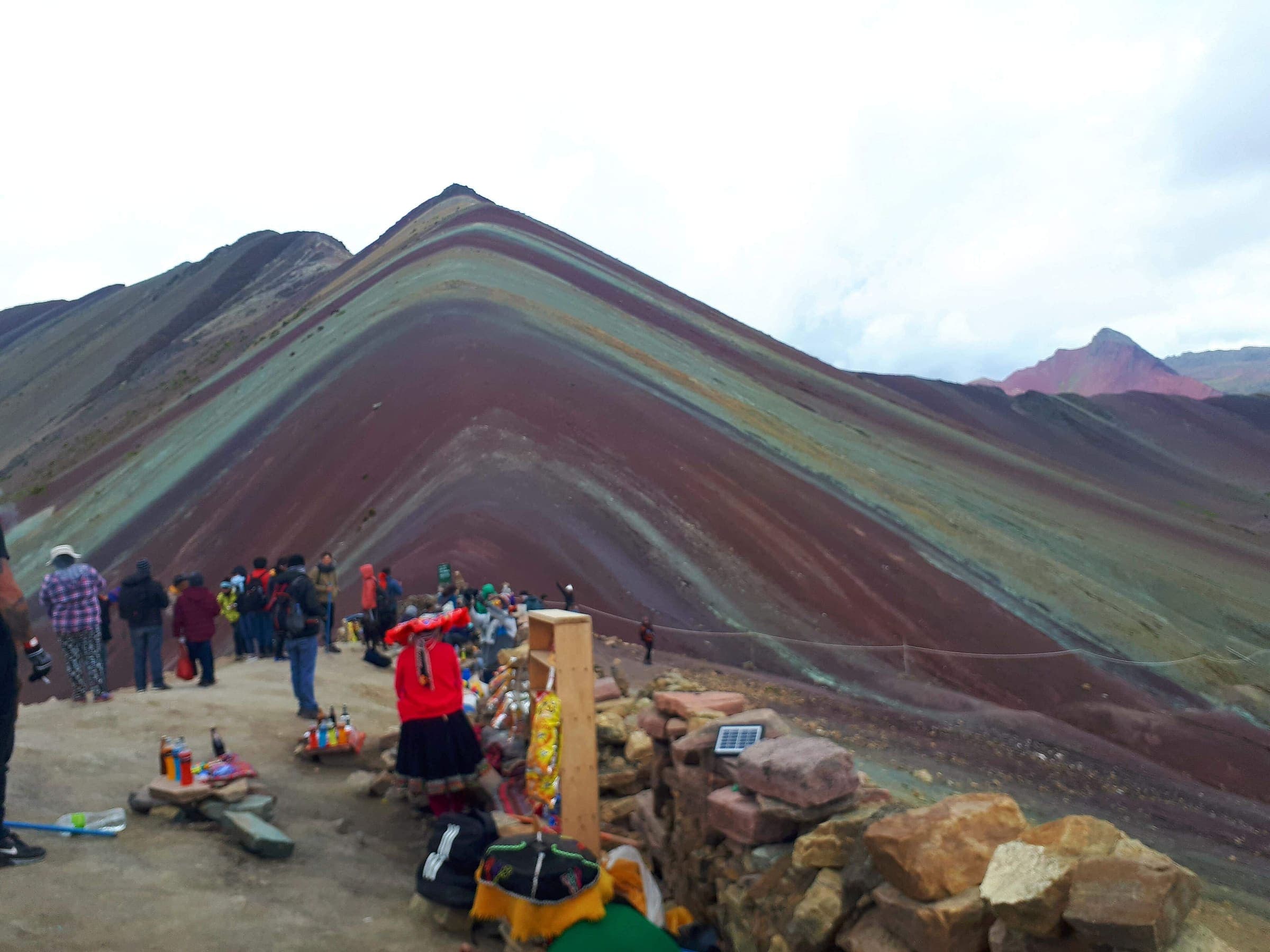
Curated schematic — not walking distance. Pin-to-pin OSM named-waypoint line Phulawasipata → Vinicunca viewpoint. Cited itinerary ~7 km round (provisional, secondary). Community trailhead fee (reported secondary). High 5,036 m is the Vinicunca landmark.
T2 · 35 km · 4d
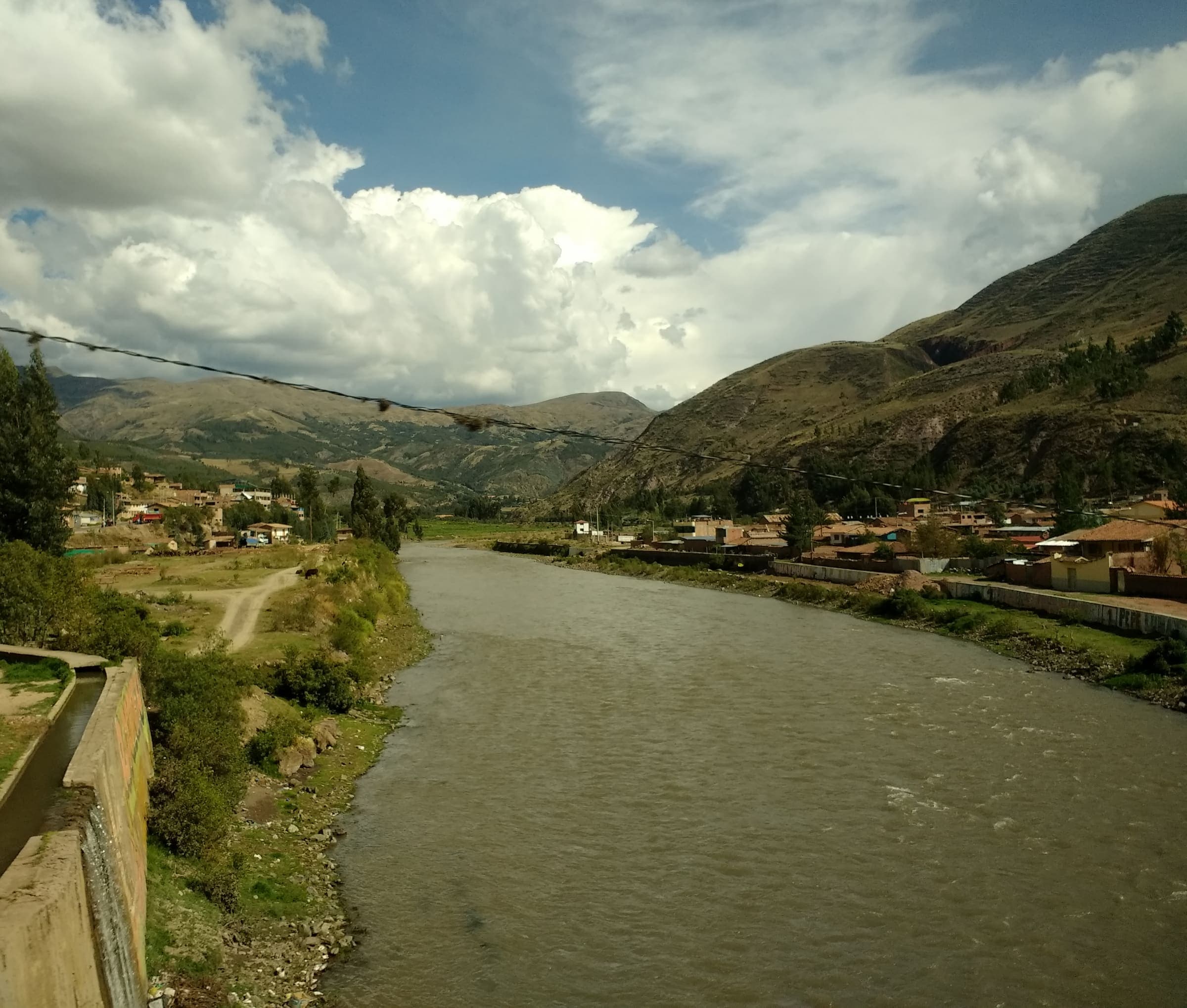
Lares Trek
Curated schematic — not walking distance. Pin-to-pin OSM named-waypoint line Lares hot springs → Cuncani → Patacancha. Cited itinerary ~35 km (provisional, secondary). No formal government permit (reported secondary). High 4,450 m is the Sicllaccasa Pass landmark, omitted from the line.
T2 · 14 km · 1d
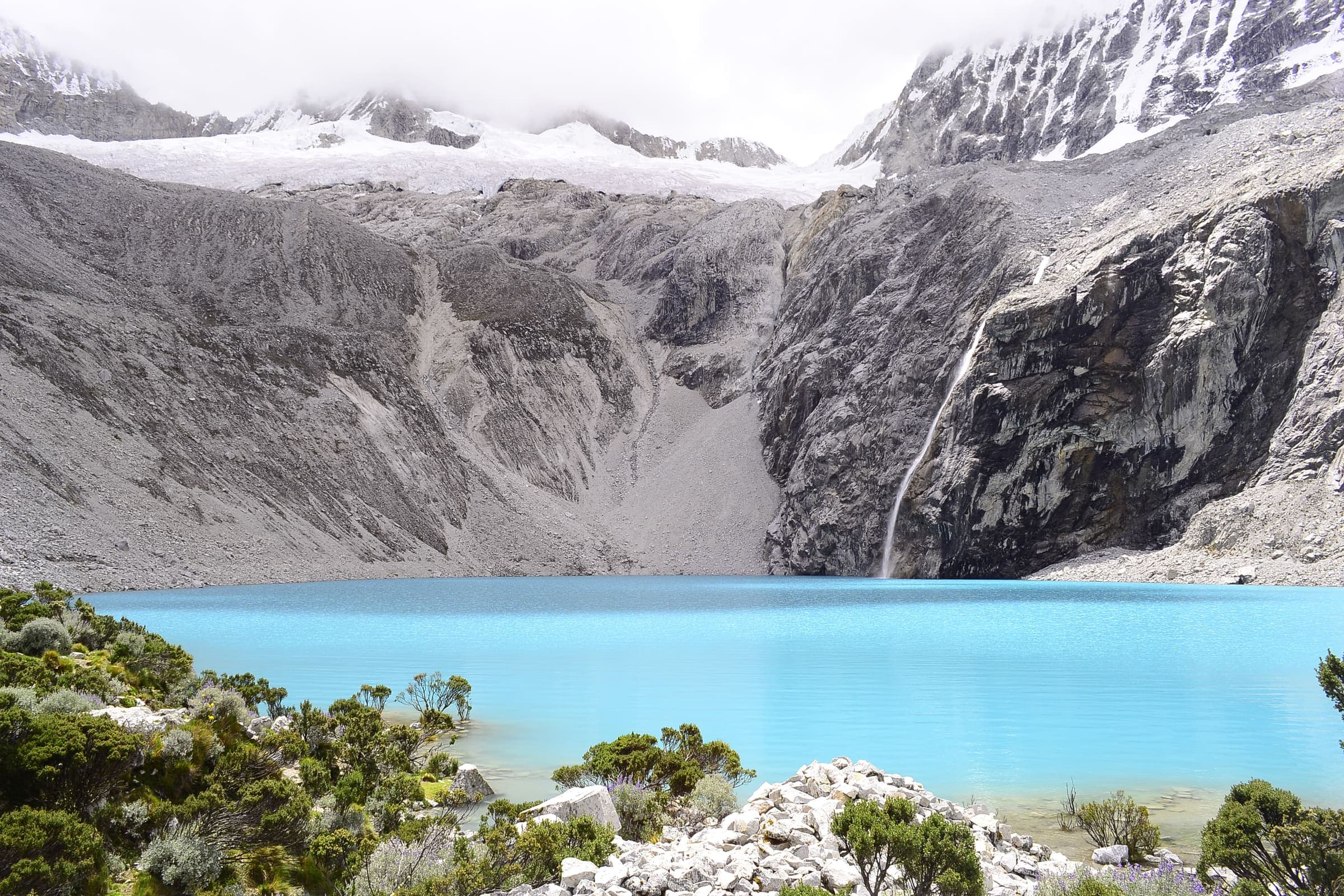
Laguna 69
Curated schematic — not walking distance. Pin-to-pin OSM named-waypoint line Cebollapampa → Laguna 69. Cited itinerary ~14 km round (provisional, secondary). Excluded from the general Huascarán boleto (separate local day-tariff, amount not stored). High 4,600 m is the lake landmark.
T2 · 17 km · 2d
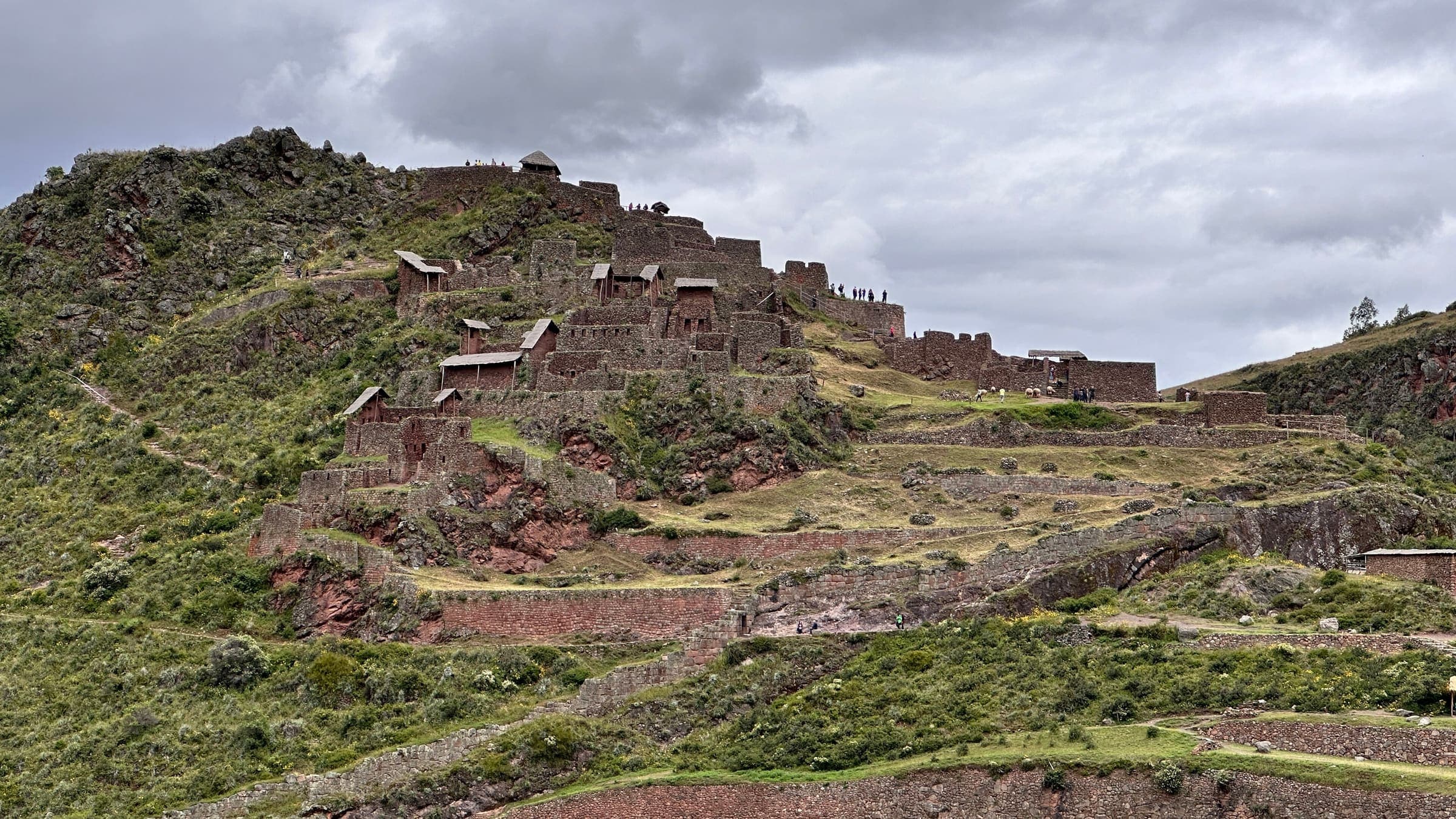
Huchuy Qosqo
Curated schematic — not walking distance. Pin-to-pin OSM named-waypoint line Tauca → Huchuy Qosqo site → Lamay. Cited itinerary ~17 km (provisional, secondary). No formal government permit (reported secondary). High 4,200 m is the Pumamarca Pass landmark, omitted from the line.
T1 · 29.5 km · 4d
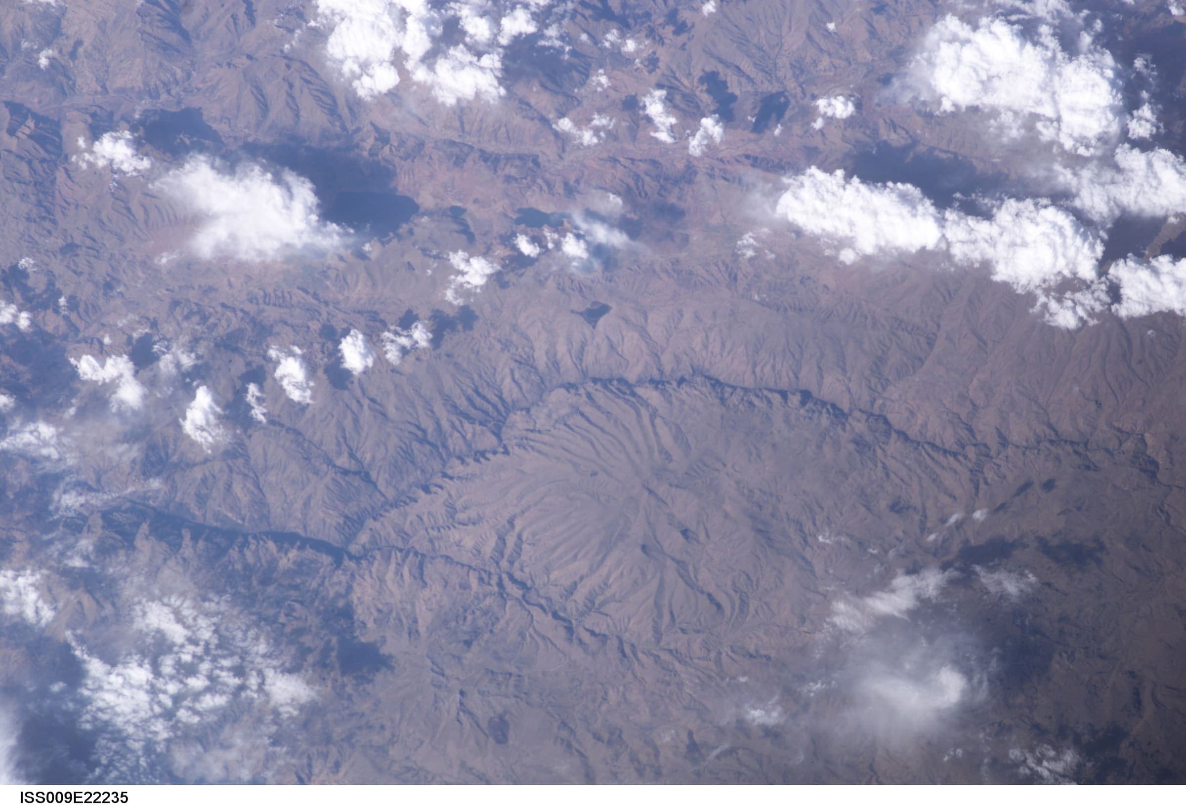
Choquequirao Trek
Out-and-back Cachora to Choquequirao (OSM relation 2072730). Published one-way 29.5 km; the same line walked back is 59.01 km and is not stored twice. Cusco / Apurímac. DEM high 2,965 m is the line max; the ruins landmark is ~3,050 m.
T1 · 96.96 km · 6d
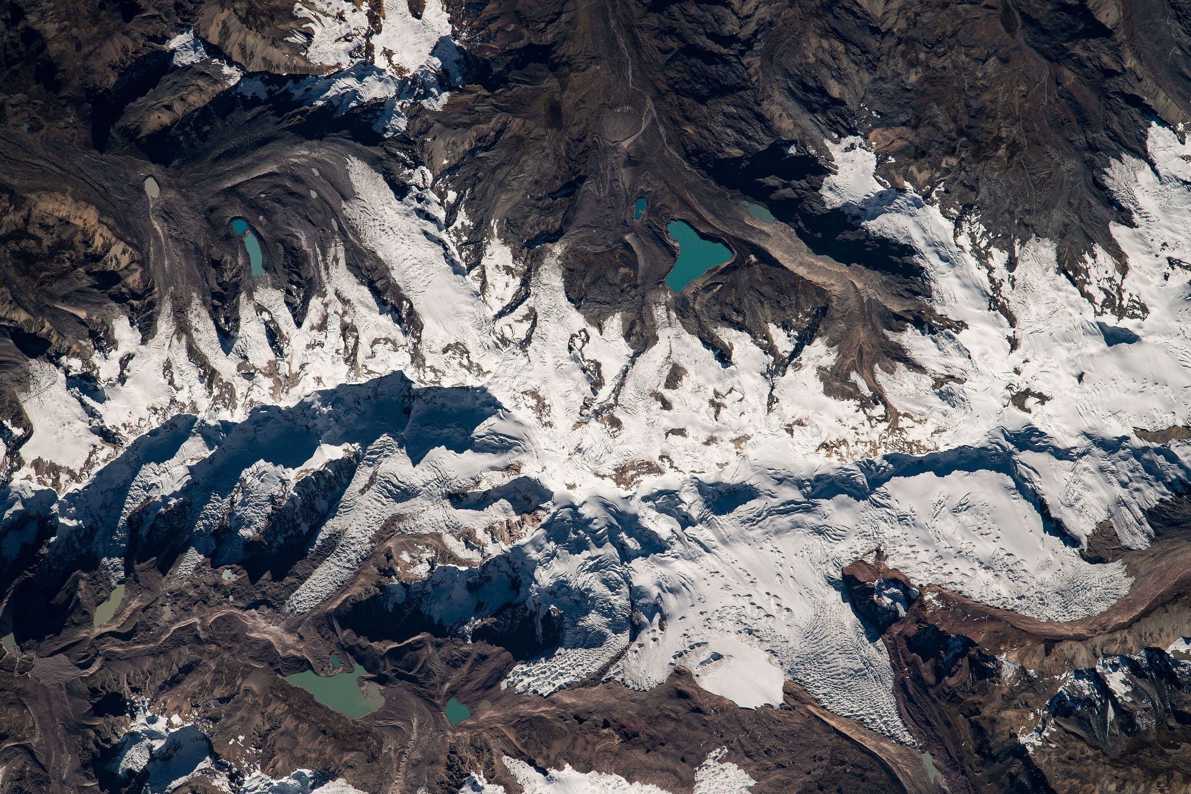
Ausangate Circuit
OSM circuit of Apu Ausangate (relation 3475867), 96.96 km, DEM high 5,103 m. The line is disjoint (6 members, gap 440 m) and stays provisional. Community entrance and camping tolls are reported secondary.
T2 · 45.76 km · 4d
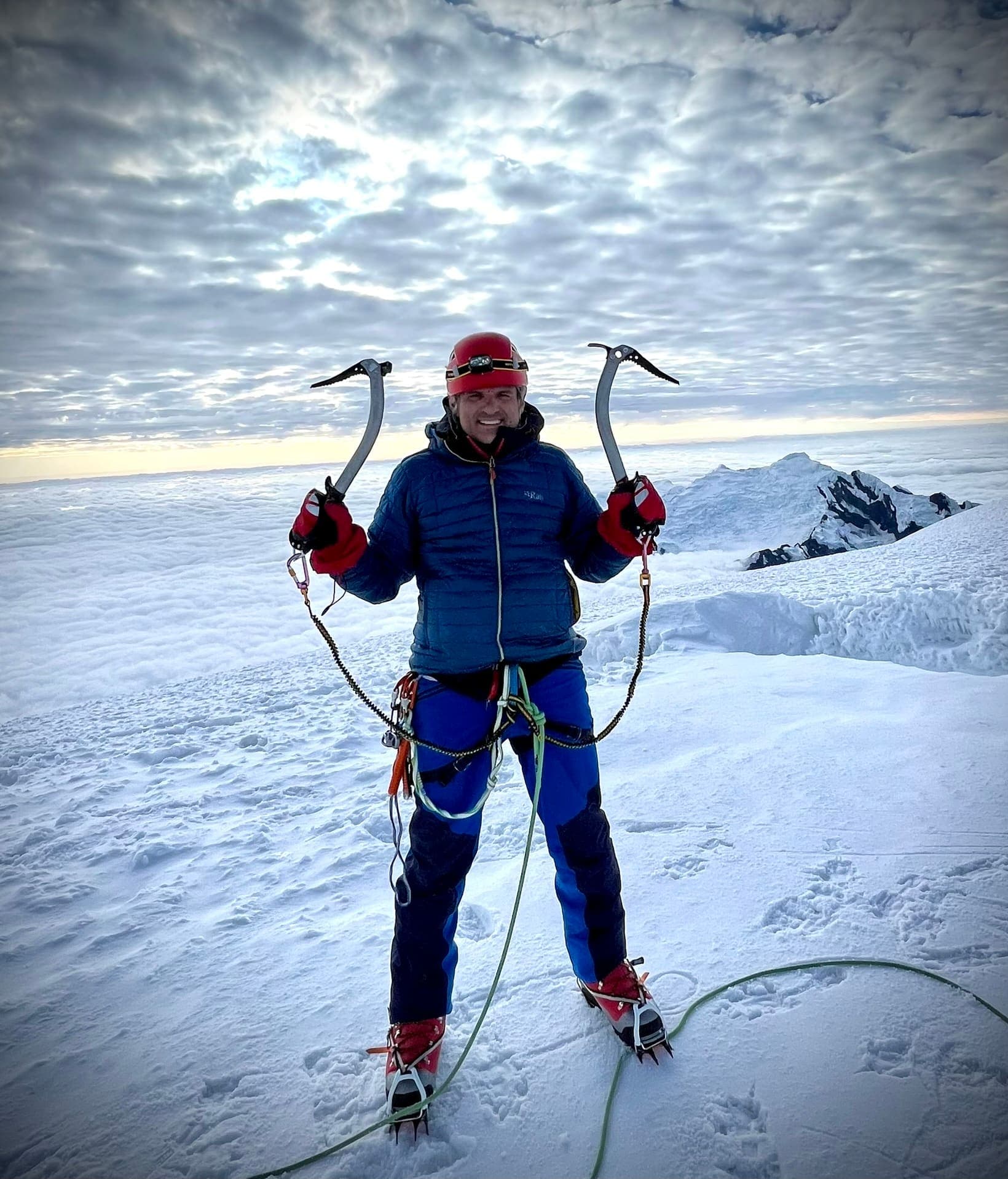
Santa Cruz Trek
OSM Cashapampa–Vaquería line in Huascarán National Park (relation 1732163), 45.76 km, DEM high 4,752 m. SERNANP boleto S/ 30, S/ 60, or S/ 150 by duration (FY2024, verified-official). Not relation 19672457.
T2 · 100.95 km · 12d
Cordillera Huayhuash Circuit
OSM Circuito de Huayhuash (relation 1112639), 100.95 km, DEM high 5,028 m. Community tolls are reported secondary. Alpine variant 1112642 is not merged.
T2 · 12.97 km · 3d
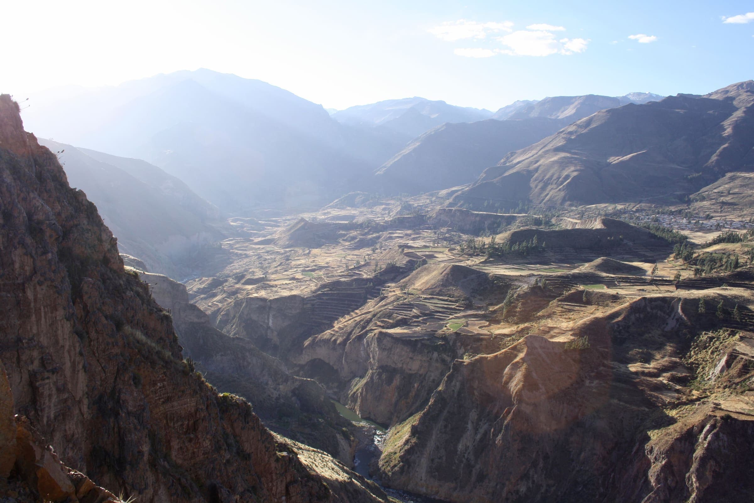
Colca Canyon Trek (Cabanaconde path)
Partial line only: OSM Cabanaconde-side canyon path (relation 2517569). Published one-way 12.97 km; round-trip 25.93 km is not doubled. Not the full oasis circuit (cited ~50 km). Boleto Turístico PEN 70 is reported secondary.

T2 · 9 km · 1d
Ruta de Pescado
Ruta de Pescado — tail catalogue entry from OSM relation 6943870. Geometry and elevation are OSM/GLO-30 and provisional. No special permit known; verify locally.

T2 · 14.4 km · 1d
Huaytapallana Trek
Huaytapallana Trek — tail catalogue entry from OSM relation 3475756. Geometry and elevation are OSM/GLO-30 and provisional. No special permit known; verify locally.
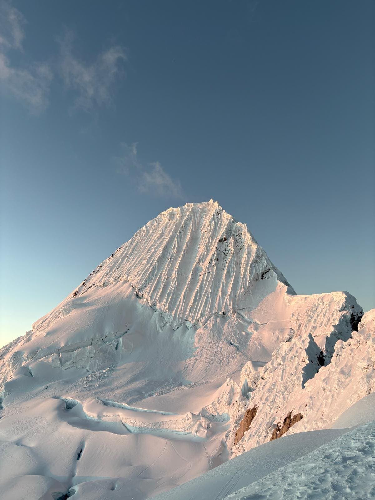
T2 · 136.5 km · 7d
Alpamayo Circuit
Alpamayo Circuit — tail catalogue entry from OSM relation 1732180. Geometry and elevation are OSM/GLO-30 and provisional. No special permit known; verify locally.

T2 · 72.5 km · 4d
Alpamayo Trek
Alpamayo Trek — tail catalogue entry from OSM relation 1112623. Geometry and elevation are OSM/GLO-30 and provisional. No special permit known; verify locally.

T2 · 21.5 km · 1d
Ishinca Trek
Ishinca Trek — tail catalogue entry from OSM relation 1112637. Geometry and elevation are OSM/GLO-30 and provisional. No special permit known; verify locally.
T2 · 15.4 km · 1d
Lag. Llaca Trek
Lag. Llaca Trek — tail catalogue entry from OSM relation 1112636. Geometry and elevation are OSM/GLO-30 and provisional. No special permit known; verify locally.
T2 · 15.3 km · 1d
Lag. Shallap Trek
Lag. Shallap Trek — tail catalogue entry from OSM relation 1112638. Geometry and elevation are OSM/GLO-30 and provisional. No special permit known; verify locally.

T2 · 10.5 km · 1d
Quitaraju Trek
Quitaraju Trek — tail catalogue entry from OSM relation 1732162. Geometry and elevation are OSM/GLO-30 and provisional. No special permit known; verify locally.
T2 · 24.6 km · 1d
Circuito Alpino de Huayhuash
Circuito Alpino de Huayhuash — tail catalogue entry from OSM relation 1112642. Geometry and elevation are OSM/GLO-30 and provisional. No special permit known; verify locally.
T2 · 23.8 km · 1d
Itinerario de Nanis-Mangas al Circuito de Huayhuash
Itinerario de Nanis-Mangas al Circuito de Huayhuash — tail catalogue entry from OSM relation 9253544. Geometry and elevation are OSM/GLO-30 and provisional. No special permit known; verify locally.

T2 · 12.8 km · 1d
Ruta Chiguata
Ruta Chiguata — tail catalogue entry from OSM relation 2502239. Geometry and elevation are OSM/GLO-30 and provisional. No special permit known; verify locally.

T2 · 8.5 km · 1d
Nevado Apacheta
Nevado Apacheta — tail catalogue entry from OSM relation 3475789. Geometry and elevation are OSM/GLO-30 and provisional. No special permit known; verify locally.