
Hiking trails in Vaud
Switzerland · CH
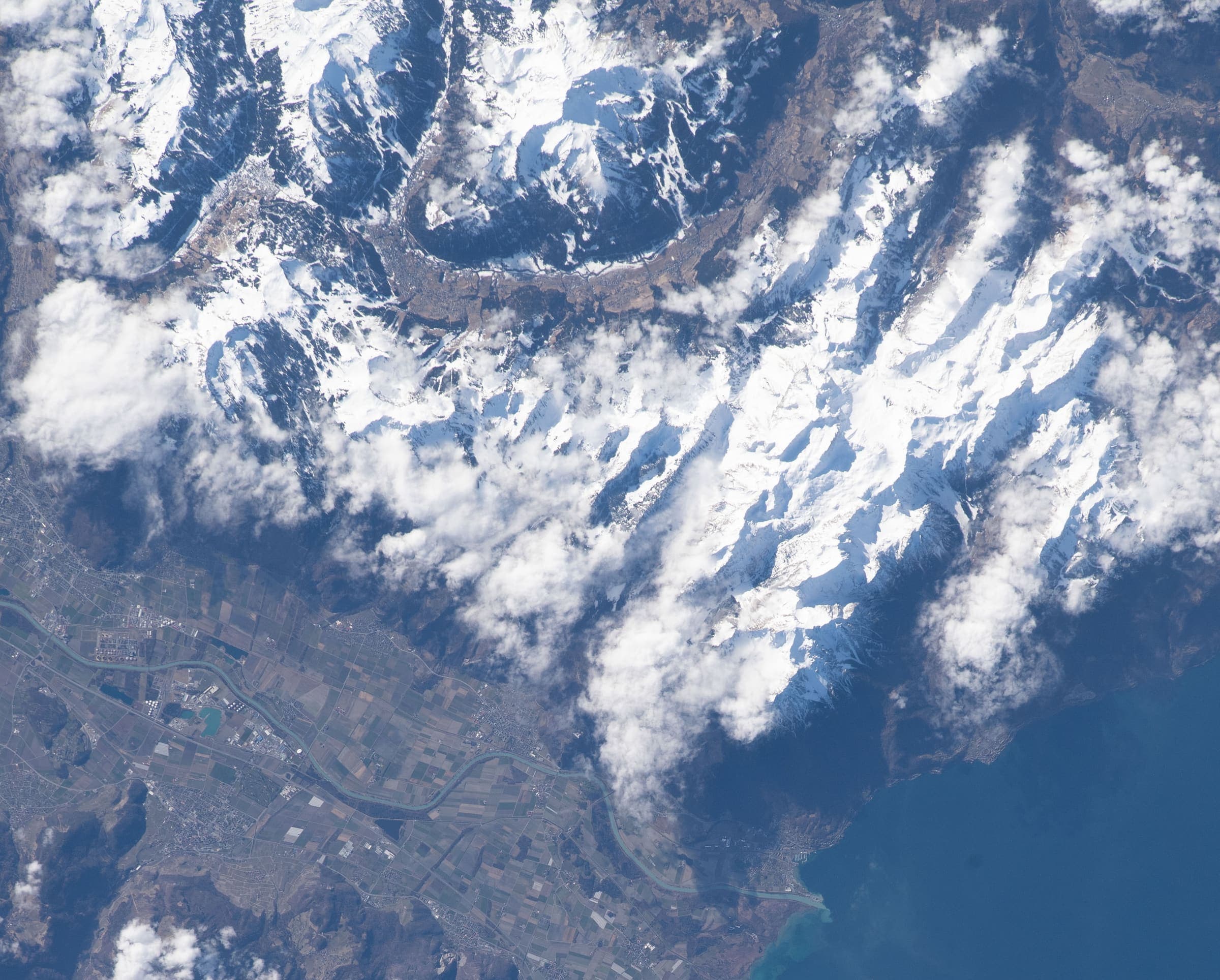
The Vaud Alps above Lake Geneva — Aigle, the Diablerets, and the Chablais foothills.
Key facts
Each figure is the stored value and its tier. A blank cell was not recorded.
| Trail | Distance | High point | Permit |
|---|---|---|---|
| Tour des Alpes Vaudoises | 131 km · Reported | 1997 m · Computed | Unverified |
| Chemin des Trois-Lacs | 62.4 km · Reported | 649 m · Computed | Unverified |
Map loads when this section is on screen.
Trails
Hikes in Vaud
Distance 62.4 km Reported · Ascent not published · High point Computed · T2 · OSM route
Chemin des Trois-Lacs
Reported OSM relation: SchweizMobil regional hiking route 71, Chemin des Trois-Lacs, Yverdon-les-Bains to Murten, 62.4 km OSM 2-D. Vertical figures sampled from Copernicus GLO-30.
Distance 131 km Reported · Ascent not published · High point Computed · T2 · OSM route
Tour des Alpes Vaudoises
Reported OSM relation: SchweizMobil regional hiking route 46, Tour des Alpes Vaudoises, Aigle to Aigle, 131 km OSM 2-D. Vertical figures sampled from Copernicus GLO-30.