
India · catalog list
Hikes in Maharashtra
Every hike we hold in Maharashtra, shortest stored distance first. Ordered by stored distance. This is the catalog, not a scored ranking and not a route planner.
Maharashtra region overview · Filter by grade, duration, and permit
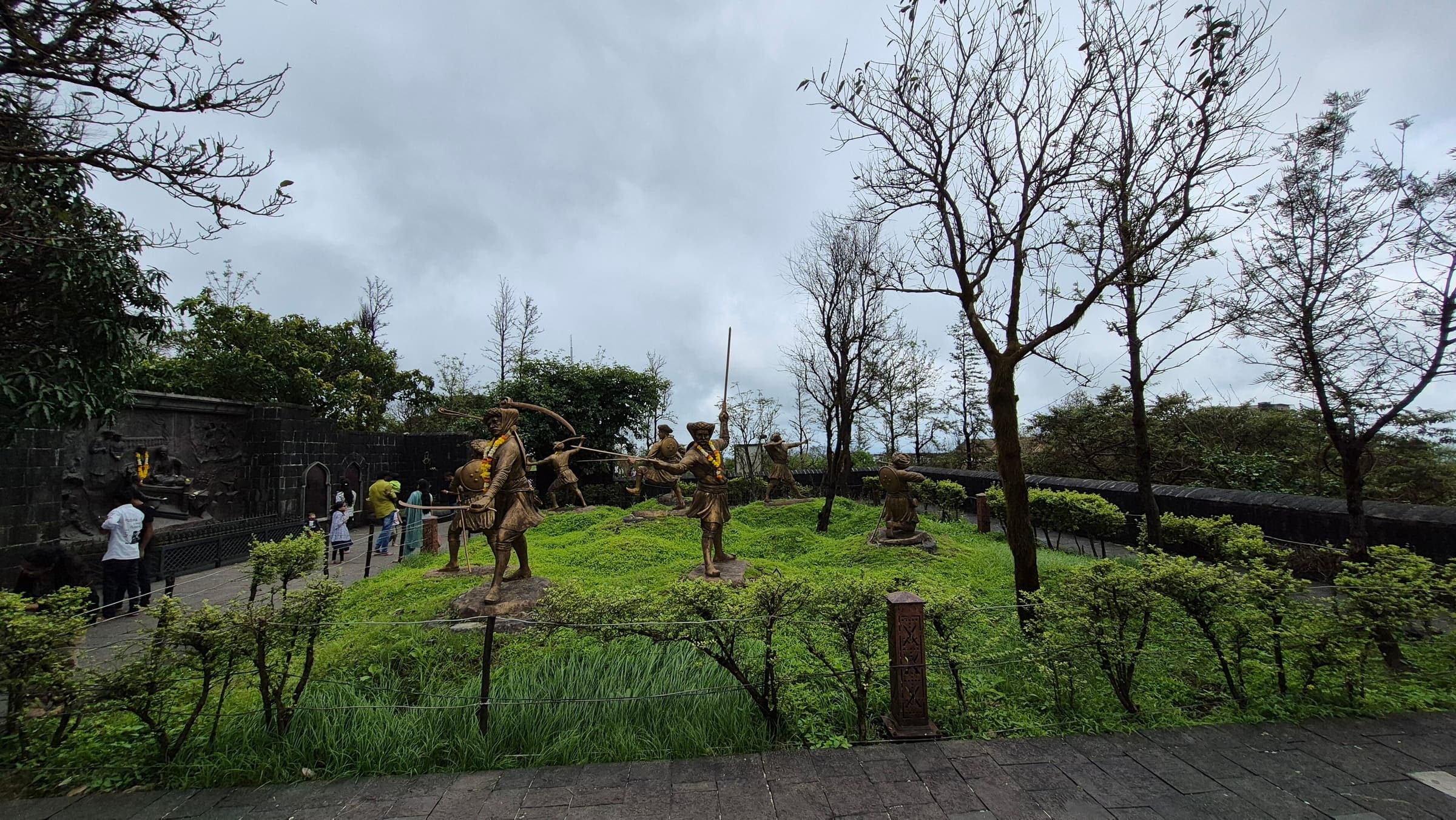
SAC T2 (mapped — no official SAC grade) · YDS 1
Aad Fort
OSM hiking route Aad Fort, Maharashtra (2.34 km line). ⚠ 2-component 113 m gap. Vertical figures from the GLO-30 resample. Days unknown.
Distance 2.34 km Reported · Ascent provisional (DEM sample) · High point provisional (DEM sample) · T2 · OSM route · permit-free on this record
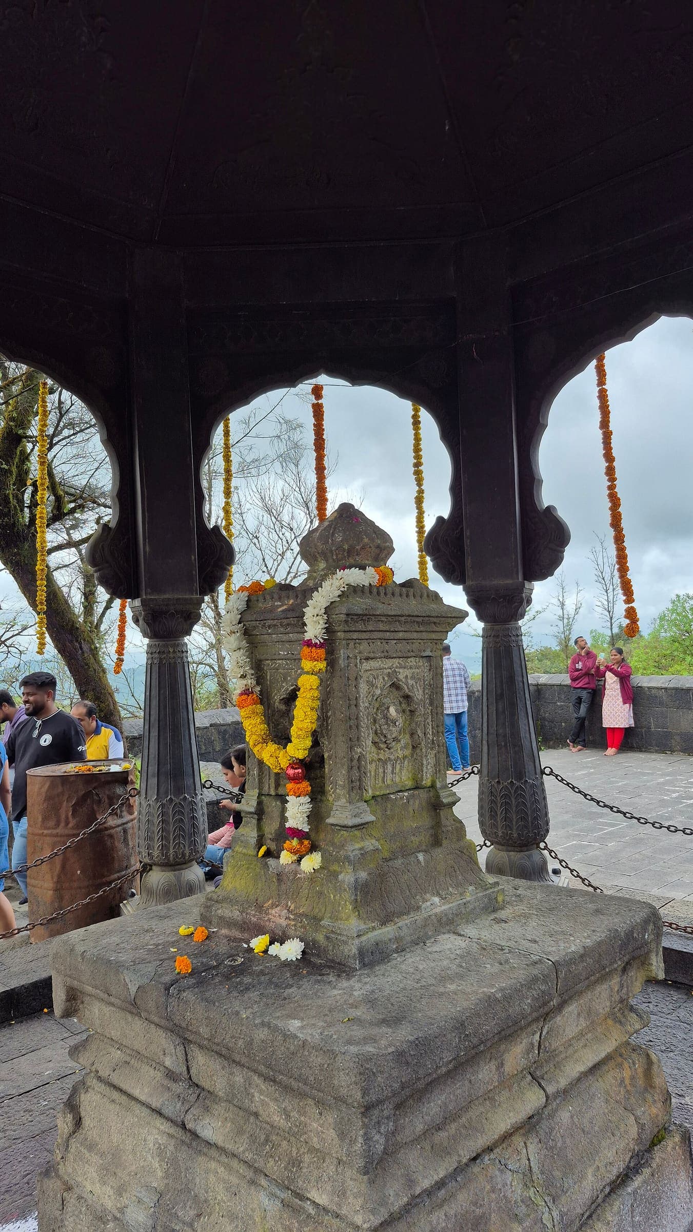
SAC T2 (mapped — no official SAC grade) · YDS 1
Ainkai Tankai Fort
OSM hiking route Ainkai Tankai Fort, Maharashtra (3.14 km line). out-and-back; one-way 3.14 km, round-trip 6.28 km in prose. Vertical figures from the GLO-30 resample. Days unknown.
Distance 3.14 km Reported · Ascent provisional (DEM sample) · High point provisional (DEM sample) · T2 · OSM route · permit-free on this record
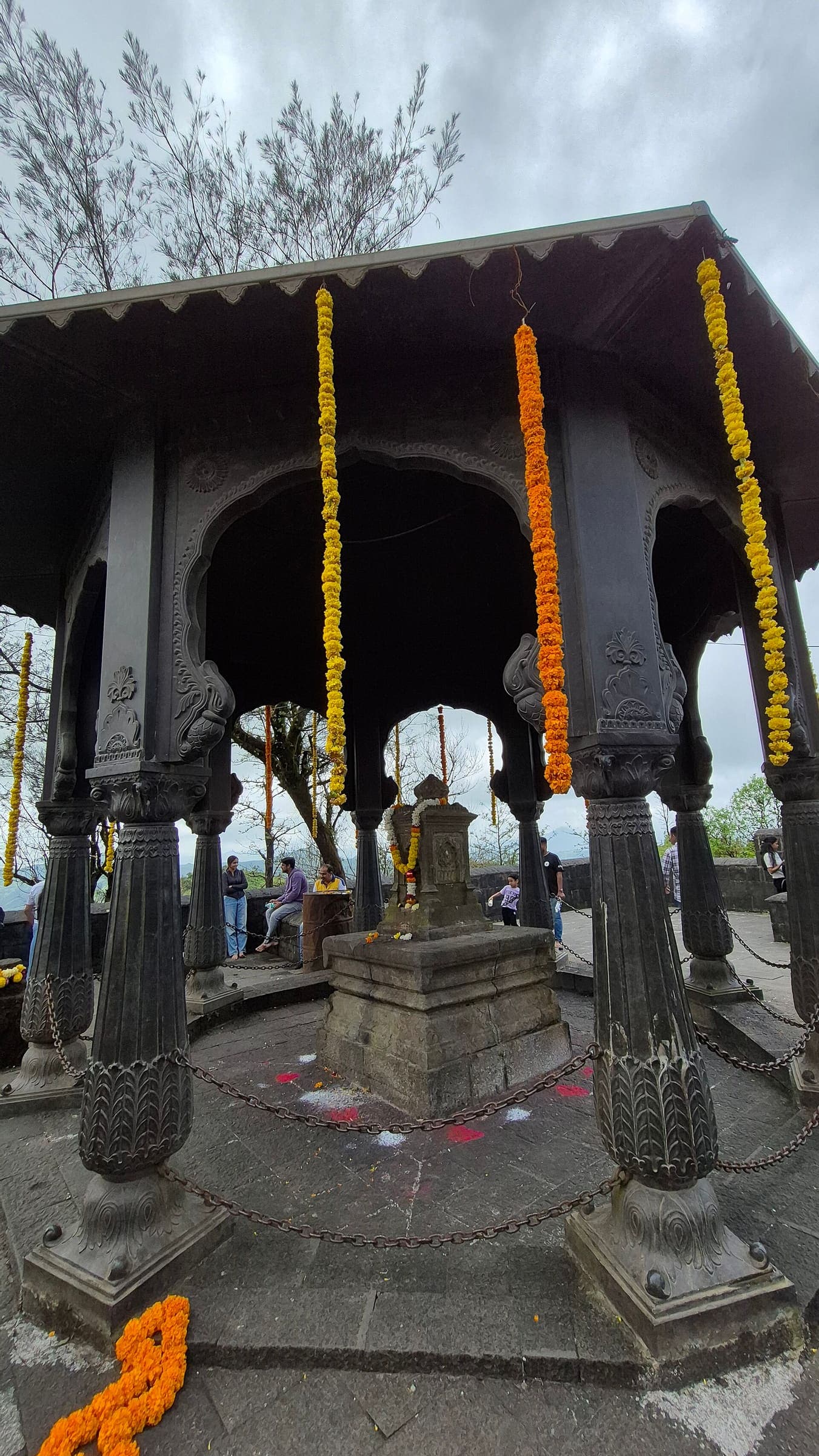
SAC T2 (mapped — no official SAC grade) · YDS 1
Anghai fort
OSM hiking route Anghai fort, Maharashtra (2.88 km line). out-and-back; one-way 2.88 km, round-trip 5.76 km in prose. Vertical figures from the GLO-30 resample. Days unknown.
Distance 2.88 km Reported · Ascent provisional (DEM sample) · High point provisional (DEM sample) · T2 · OSM route · permit-free on this record
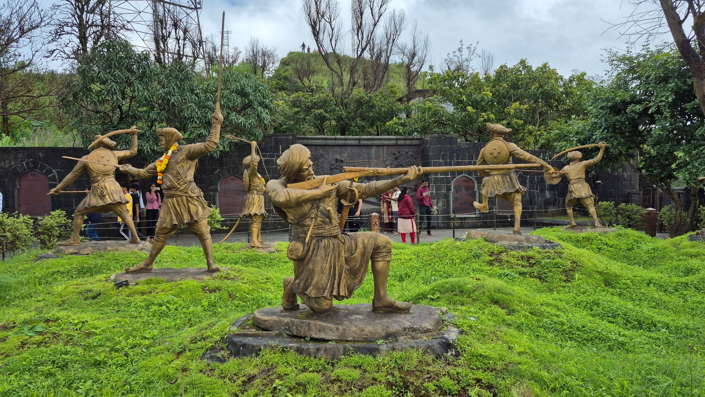
SAC T2 (mapped — no official SAC grade) · YDS 1
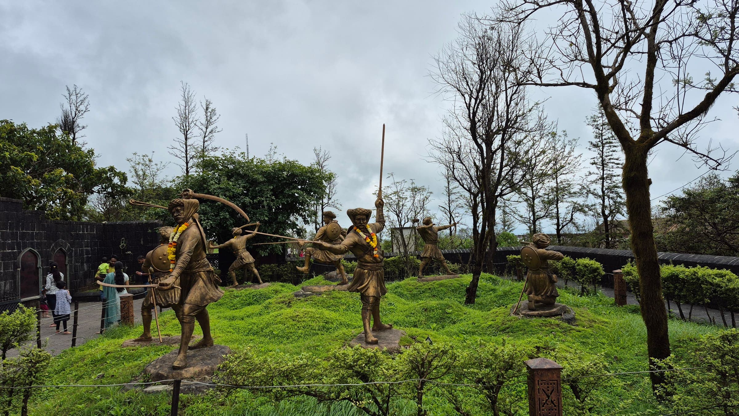
Asaavagad Fort
OSM hiking route Asaavagad Fort, Maharashtra (3.24 km line). out-and-back; one-way 3.24 km, round-trip 6.48 km in prose. Vertical figures from the GLO-30 resample. Days unknown.
Distance 3.24 km Reported · Ascent provisional (DEM sample) · High point provisional (DEM sample) · T2 · OSM route · permit-free on this record
SAC T2 (mapped — no official SAC grade) · YDS 1
Asherigad Fort
OSM hiking route Asherigad Fort, Maharashtra (3.99 km line). out-and-back; one-way 3.99 km, round-trip 7.98 km in prose. Vertical figures from the GLO-30 resample. Days unknown.
Distance 3.99 km Reported · Ascent provisional (DEM sample) · High point provisional (DEM sample) · T2 · OSM route · permit-free on this record
SAC T2 (mapped — no official SAC grade) · YDS 1
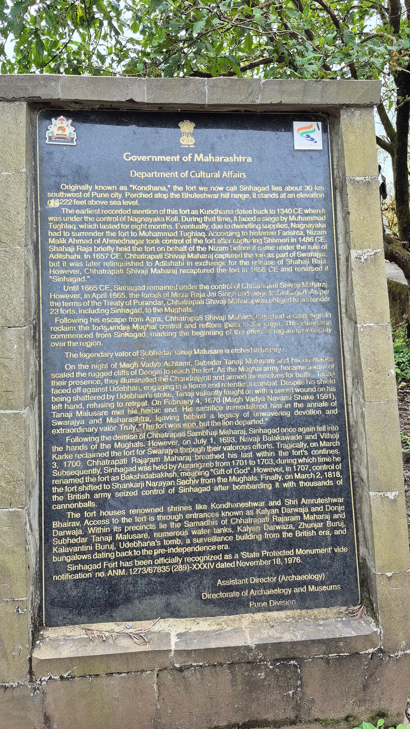
Bitangad Fort
OSM hiking route Bitangad Fort, Maharashtra (1.66 km line). out-and-back; one-way 1.66 km, round-trip 3.32 km in prose. Vertical figures from the GLO-30 resample. Days unknown.
Distance 1.66 km Reported · Ascent provisional (DEM sample) · High point provisional (DEM sample) · T2 · OSM route · permit-free on this record
SAC T2 (mapped — no official SAC grade) · YDS 1
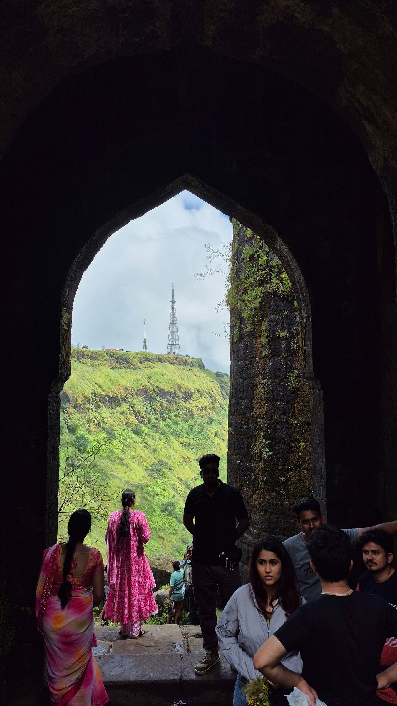
Chandwad Fort
OSM hiking route Chandwad Fort, Maharashtra (5.82 km line). Vertical figures from the GLO-30 resample. Days unknown.
Distance 5.82 km Reported · Ascent provisional (DEM sample) · High point provisional (DEM sample) · T2 · OSM route · permit-free on this record
SAC T2 (mapped — no official SAC grade) · YDS 1
Chaulher Fort
OSM hiking route Chaulher Fort, Maharashtra (2.17 km line). out-and-back; one-way 2.17 km, round-trip 4.34 km in prose. Vertical figures from the GLO-30 resample. Days unknown.
Distance 2.17 km Reported · Ascent provisional (DEM sample) · High point provisional (DEM sample) · T2 · OSM route · permit-free on this record
SAC T2 (mapped — no official SAC grade) · YDS 1
Dategad Fort
OSM hiking route Dategad Fort, Maharashtra (1.33 km line). Vertical figures from the GLO-30 resample. Days unknown.
Distance 1.33 km Reported · Ascent provisional (DEM sample) · High point provisional (DEM sample) · T2 · OSM route · permit-free on this record
SAC T2 (mapped — no official SAC grade) · YDS 1
Devagiri Fort
OSM hiking route Devagiri Fort, Maharashtra (1.4 km line). Vertical figures from the GLO-30 resample. Days unknown.
Distance 1.4 km Reported · Ascent provisional (DEM sample) · High point provisional (DEM sample) · T2 · OSM route · permit-free on this record
SAC T2 (mapped — no official SAC grade) · YDS 1
Dubera Fort
OSM hiking route Dubera Fort, Maharashtra (1.76 km line). out-and-back; one-way 1.76 km, round-trip 3.52 km in prose. Vertical figures from the GLO-30 resample. Days unknown.
Distance 1.76 km Reported · Ascent provisional (DEM sample) · High point provisional (DEM sample) · T2 · OSM route · permit-free on this record
SAC T2 (mapped — no official SAC grade) · YDS 1
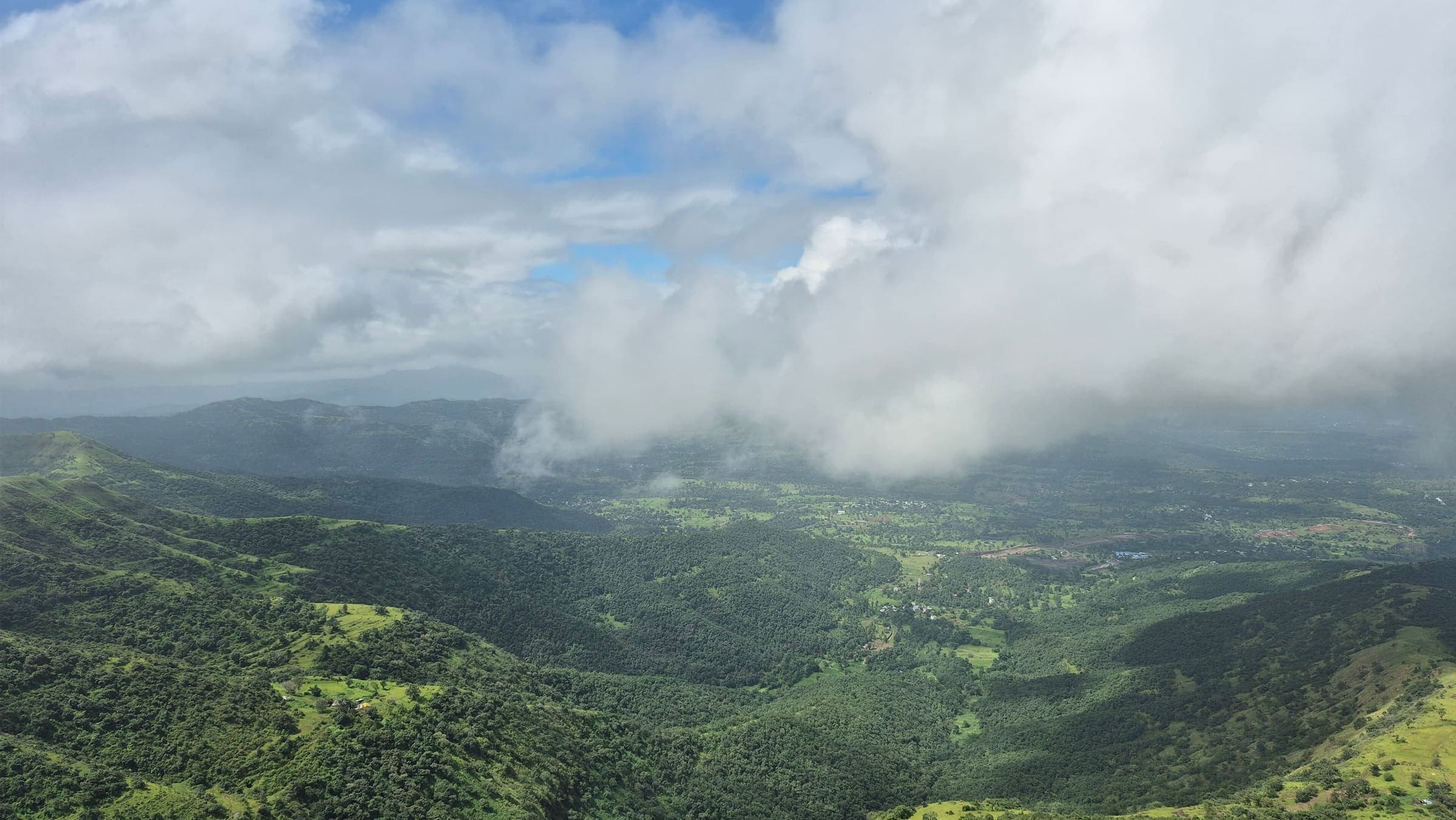
Ghangad Fort
OSM hiking route Ghangad Fort, Maharashtra (14.12 km line). out-and-back; one-way 14.12 km, round-trip 28.24 km in prose; ⚠ 2-component 372 m gap. Vertical figures from the GLO-30 resample. Days unknown.
Distance 14.12 km Reported · Ascent provisional (DEM sample) · High point provisional (DEM sample) · T2 · OSM route · permit-free on this record
SAC T2 (mapped — no official SAC grade) · YDS 1
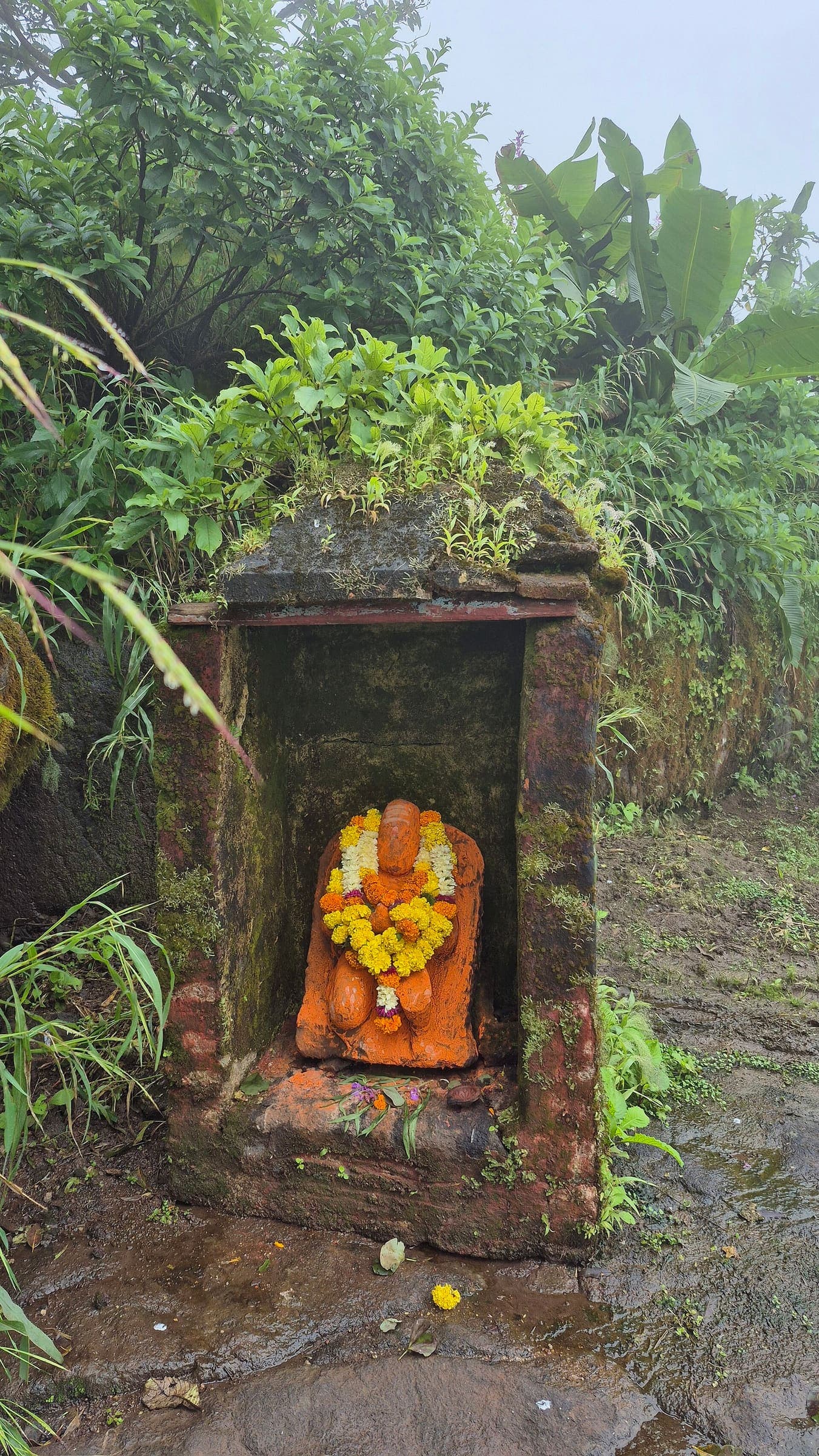
Ghera Surgad Fort
OSM hiking route Ghera Surgad Fort, Maharashtra (4.35 km line). out-and-back; one-way 4.35 km, round-trip 8.7 km in prose; ⚠ 2-component 20 m gap. Vertical figures from the GLO-30 resample. Days unknown.
Distance 4.35 km Reported · Ascent provisional (DEM sample) · High point provisional (DEM sample) · T2 · OSM route · permit-free on this record
SAC T2 (mapped — no official SAC grade) · YDS 1
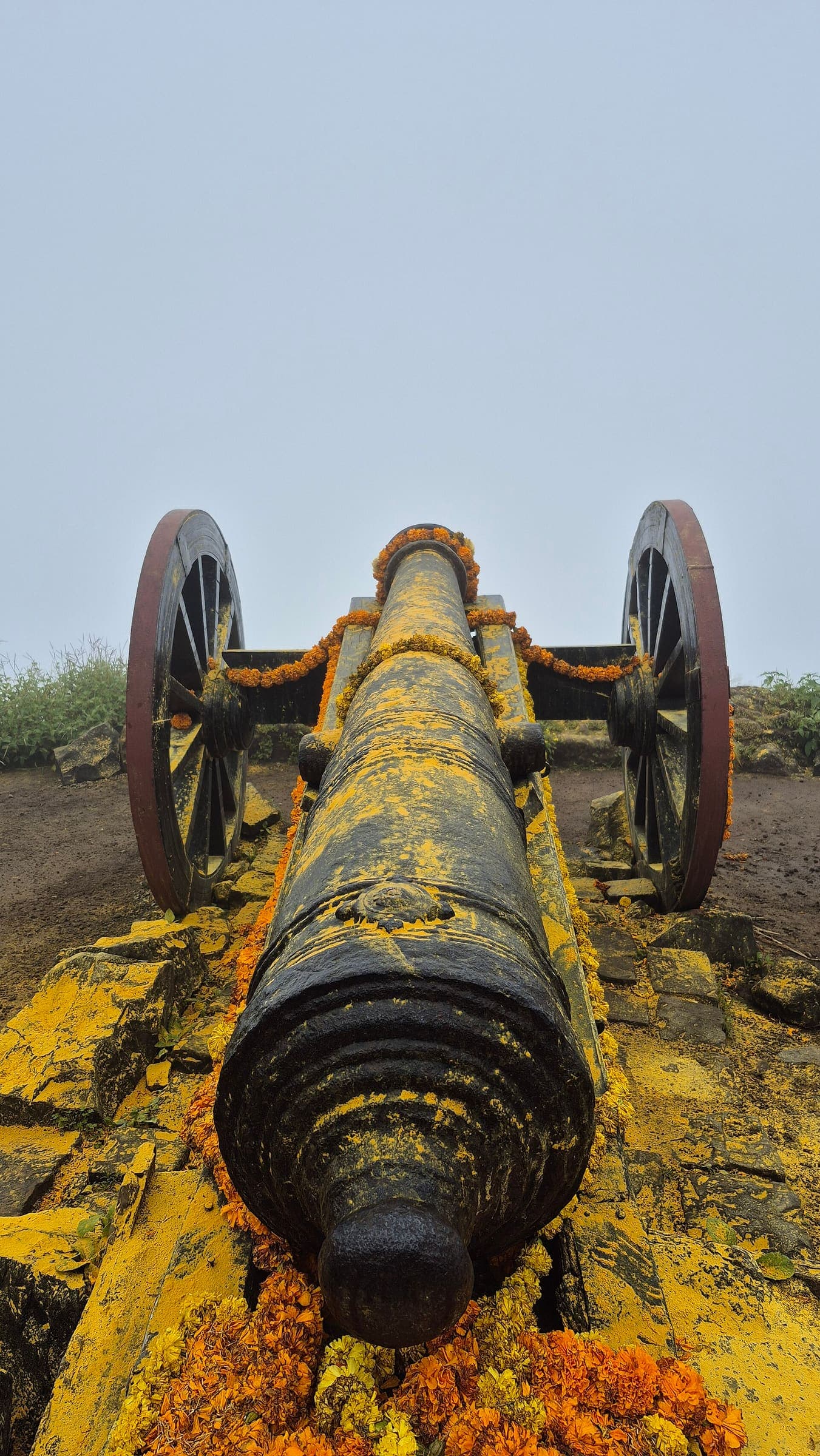
Hargad Fort
OSM hiking route Hargad Fort, Maharashtra (3.4 km line). out-and-back; one-way 3.4 km, round-trip 6.8 km in prose. Vertical figures from the GLO-30 resample. Days unknown.
Distance 3.4 km Reported · Ascent provisional (DEM sample) · High point provisional (DEM sample) · T2 · OSM route · permit-free on this record
SAC T2 (mapped — no official SAC grade) · YDS 1
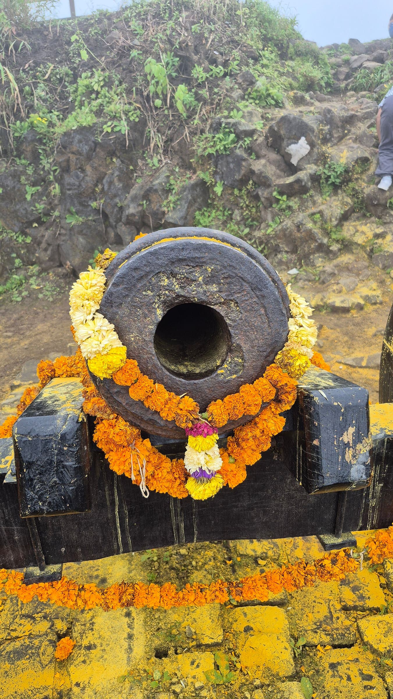
Hatgad Fort
OSM hiking route Hatgad Fort, Maharashtra (1.97 km line). out-and-back; one-way 1.97 km, round-trip 3.94 km in prose. Vertical figures from the GLO-30 resample. Days unknown.
Distance 1.97 km Reported · Ascent provisional (DEM sample) · High point provisional (DEM sample) · T2 · OSM route · permit-free on this record
SAC T2 (mapped — no official SAC grade) · YDS 1
Jawlya - Rawlya Fort
OSM hiking route Jawlya - Rawlya Fort, Maharashtra (6.13 km line). ⚠ 2-component 33 m gap. Vertical figures from the GLO-30 resample. Days unknown.
Distance 6.13 km Reported · Ascent provisional (DEM sample) · High point provisional (DEM sample) · T2 · OSM route · permit-free on this record
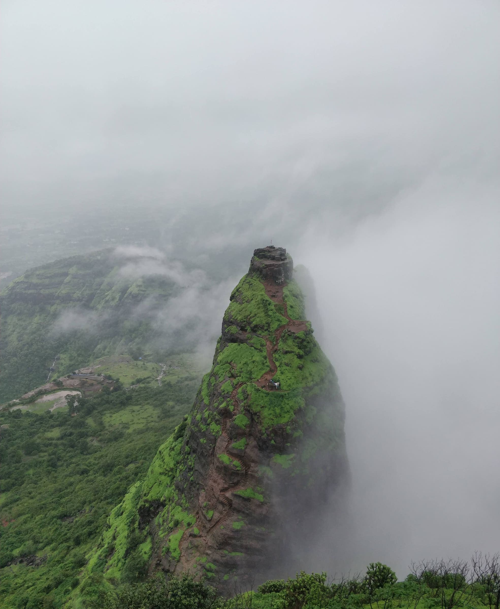
SAC T2 (mapped — no official SAC grade) · YDS 1
Kalavantin Durg
OSM hiking route Kalavantin Durg, Maharashtra (5.07 km line). out-and-back; one-way 5.07 km, round-trip 10.14 km in prose. Vertical figures from the GLO-30 resample. Days unknown.
Distance 5.07 km Reported · Ascent provisional (DEM sample) · High point provisional (DEM sample) · T2 · OSM route · permit-free on this record
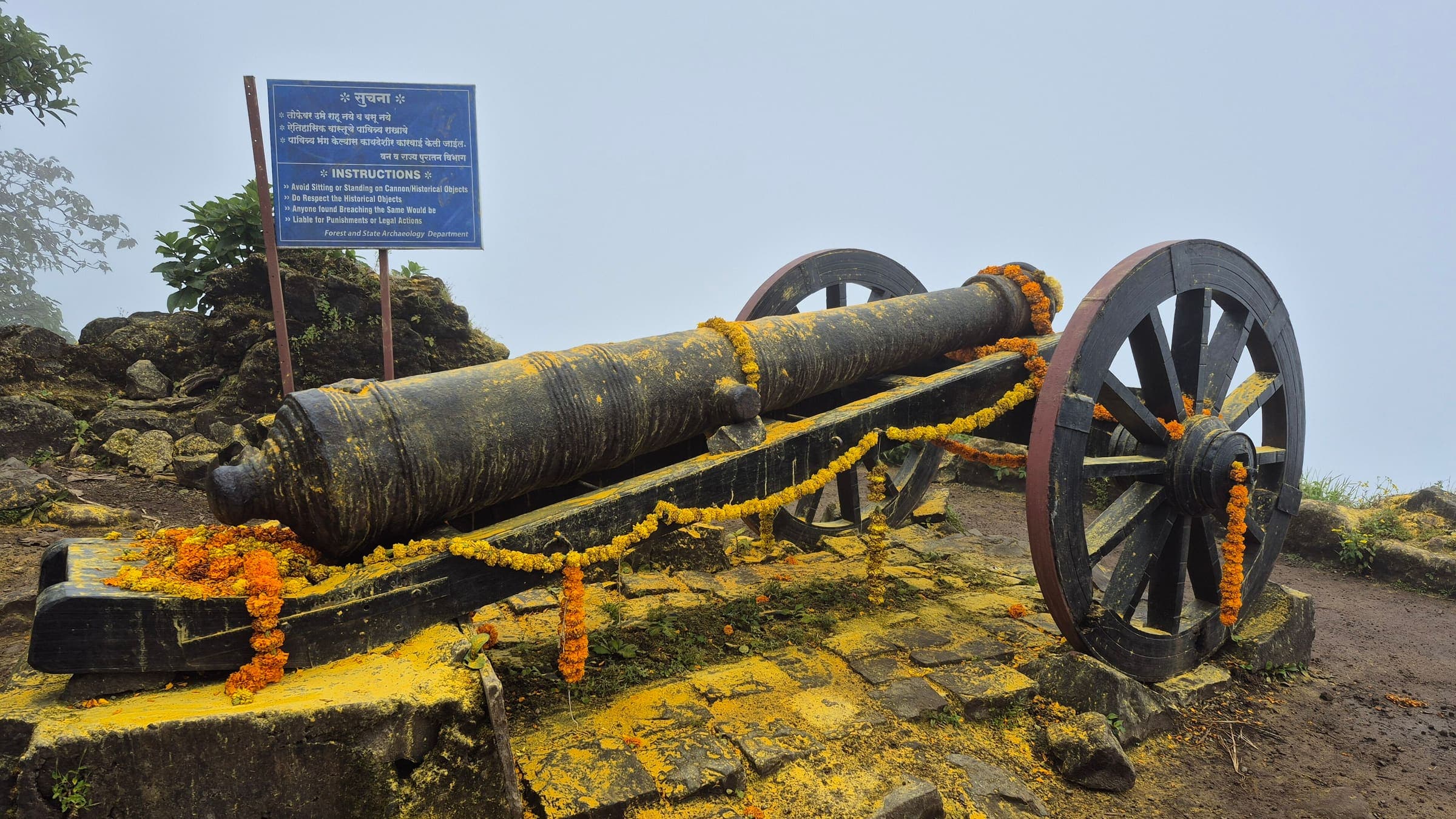
SAC T2 (mapped — no official SAC grade) · YDS 1
Kaldurg Fort
OSM hiking route Kaldurg Fort, Maharashtra (1.48 km line). out-and-back; one-way 1.48 km, round-trip 2.96 km in prose. Vertical figures from the GLO-30 resample. Days unknown.
Distance 1.48 km Reported · Ascent provisional (DEM sample) · High point provisional (DEM sample) · T2 · OSM route · permit-free on this record
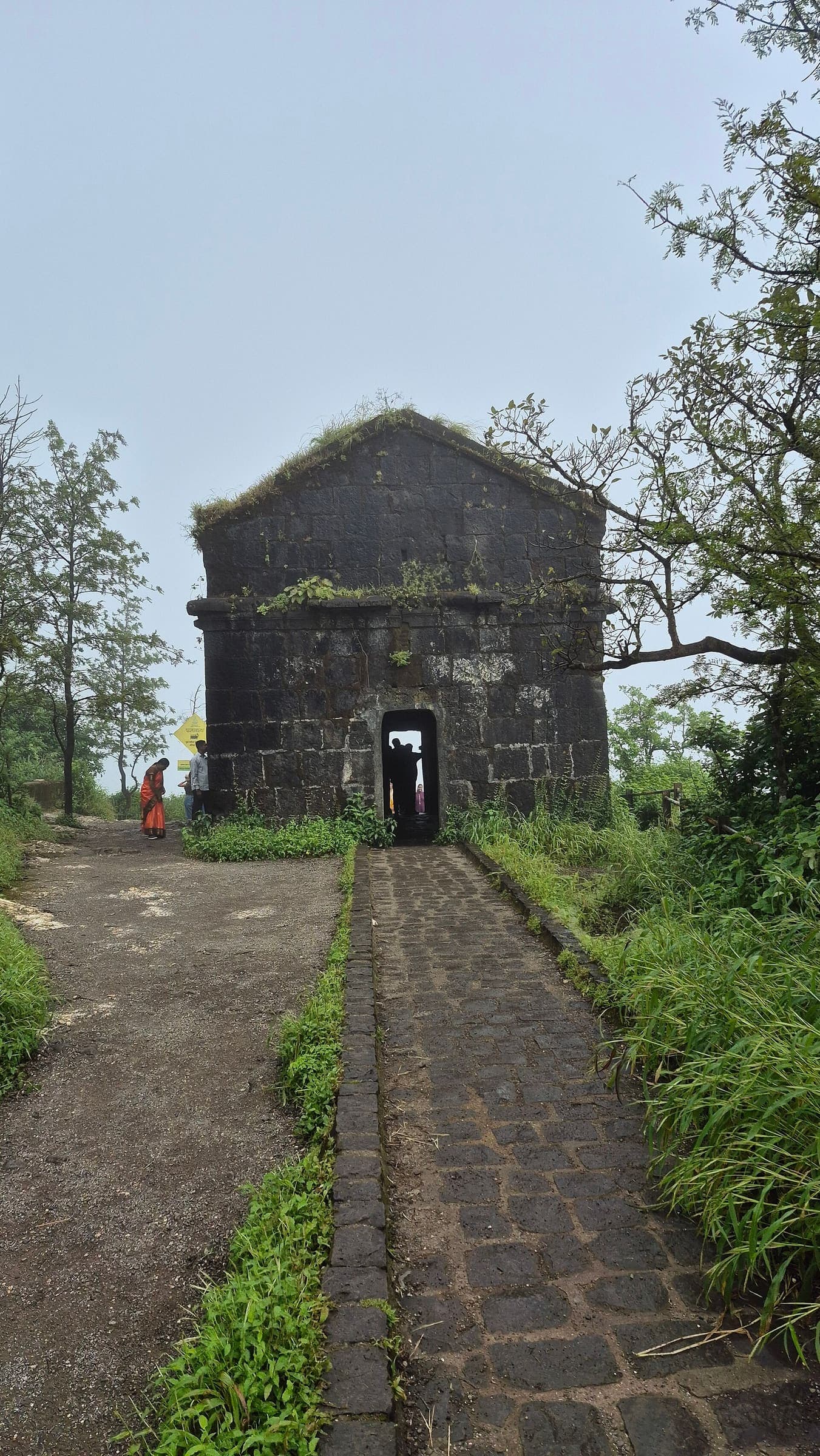
SAC T2 (mapped — no official SAC grade) · YDS 1
Kamalgad Fort
OSM hiking route Kamalgad Fort, Maharashtra (5.42 km line). out-and-back; one-way 5.42 km, round-trip 10.84 km in prose. Vertical figures from the GLO-30 resample. Days unknown.
Distance 5.42 km Reported · Ascent provisional (DEM sample) · High point provisional (DEM sample) · T2 · OSM route · permit-free on this record
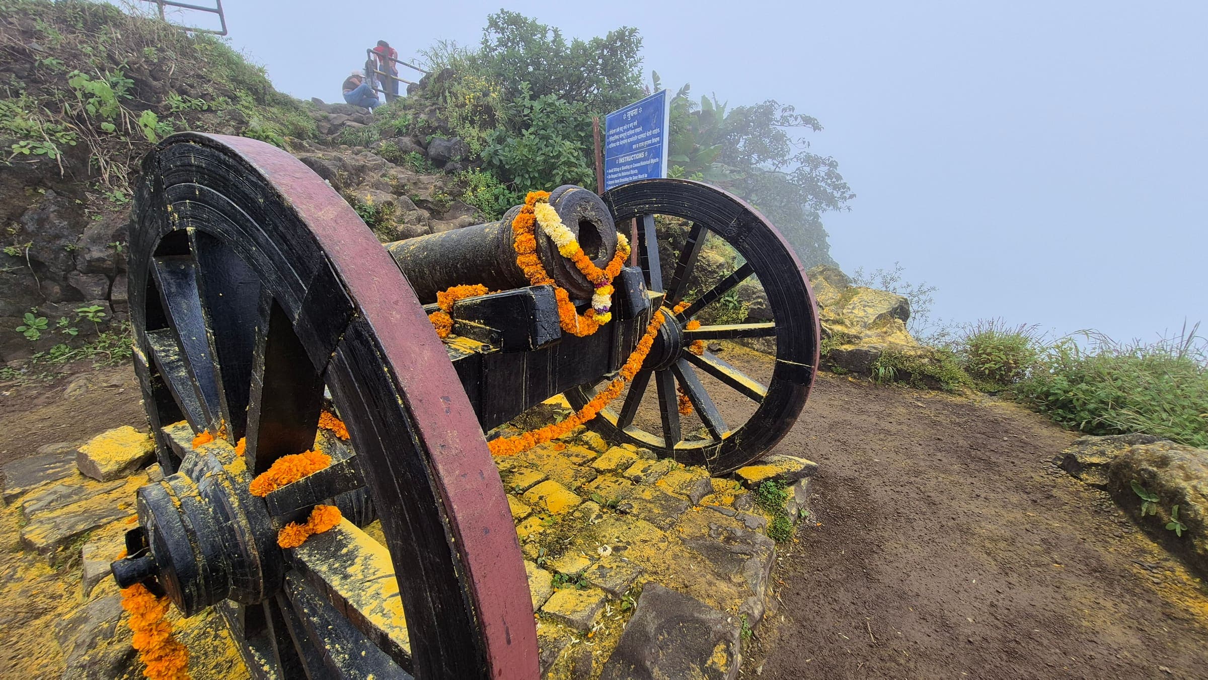
SAC T2 (mapped — no official SAC grade) · YDS 1
Kamalgad Fort 2
OSM hiking route Kamalgad Fort 2, Maharashtra (4.43 km line). out-and-back; one-way 4.43 km, round-trip 8.86 km in prose. Vertical figures from the GLO-30 resample. Days unknown.
Distance 4.43 km Reported · Ascent provisional (DEM sample) · High point provisional (DEM sample) · T2 · OSM route · permit-free on this record
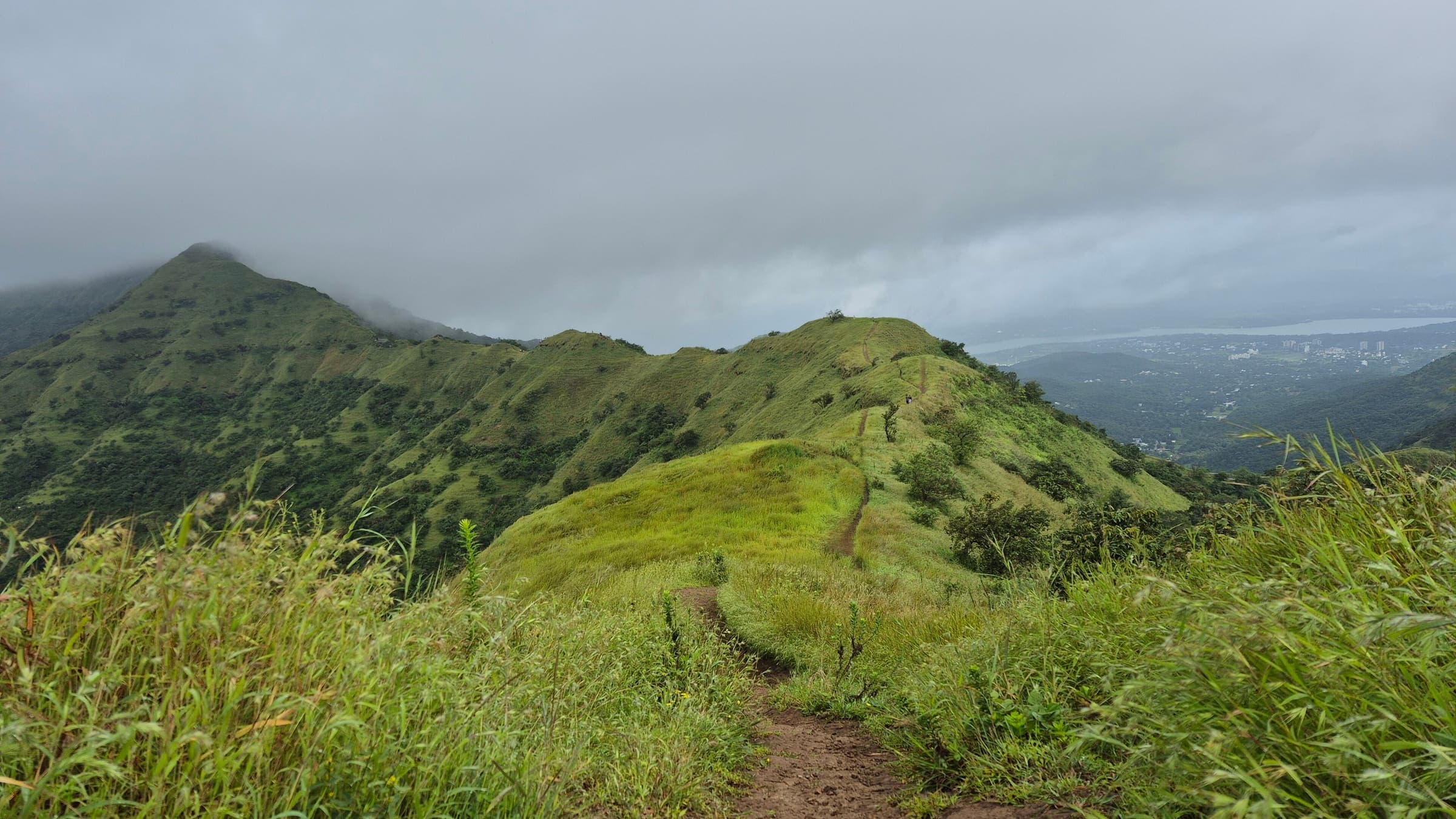
SAC T2 (mapped — no official SAC grade) · YDS 1
Kamandurg Fort
OSM hiking route Kamandurg Fort, Maharashtra (4.28 km line). out-and-back; one-way 4.28 km, round-trip 8.56 km in prose. Vertical figures from the GLO-30 resample. Days unknown.
Distance 4.28 km Reported · Ascent provisional (DEM sample) · High point provisional (DEM sample) · T2 · OSM route · permit-free on this record
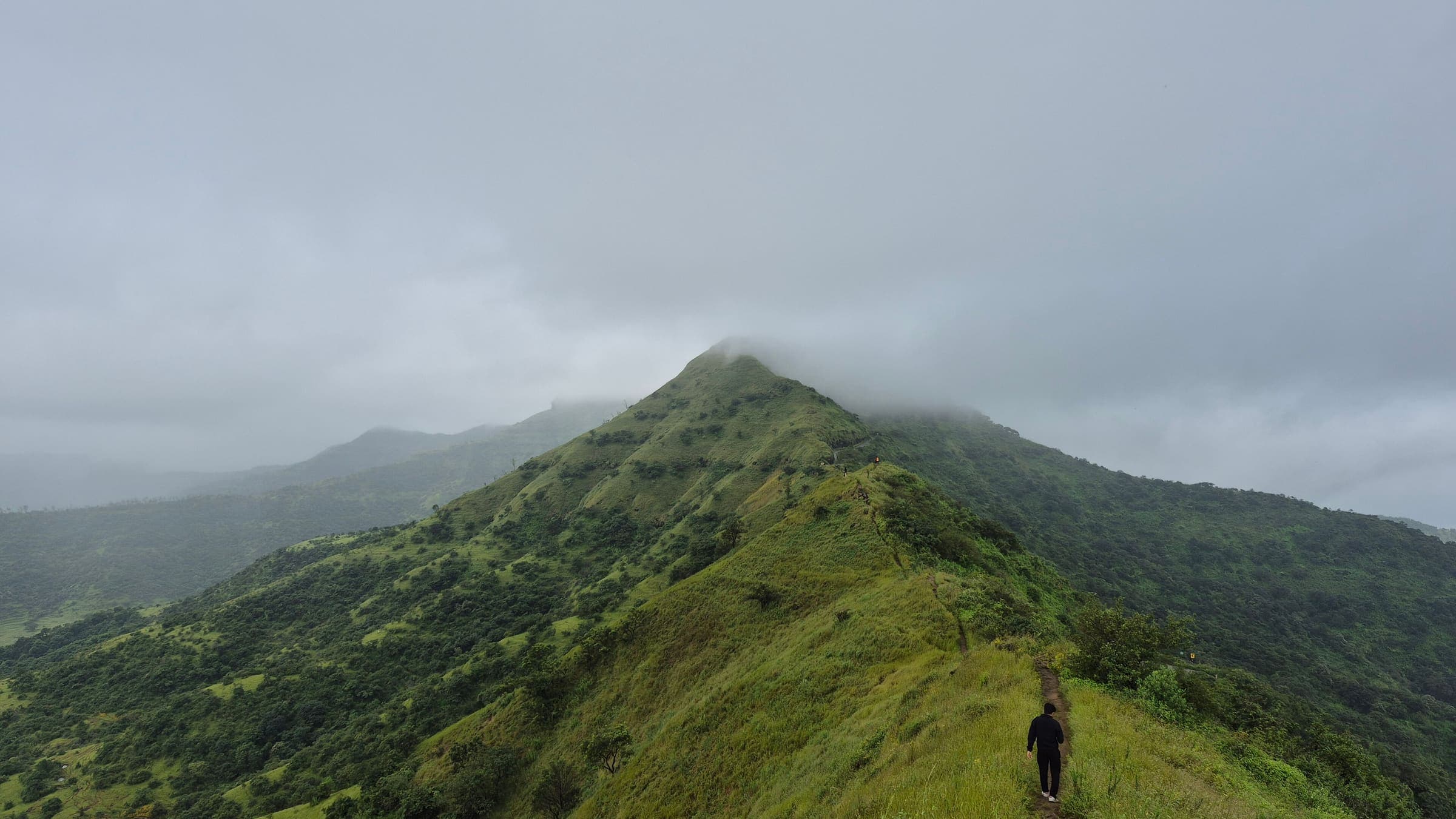
SAC T2 (mapped — no official SAC grade) · YDS 1
Kanchan Fort
OSM hiking route Kanchan Fort, Maharashtra (5.96 km line). Vertical figures from the GLO-30 resample. Days unknown.
Distance 5.96 km Reported · Ascent provisional (DEM sample) · High point provisional (DEM sample) · T2 · OSM route · permit-free on this record
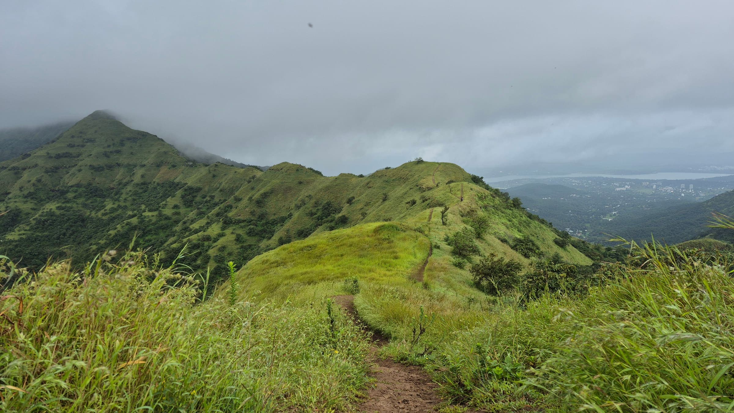
SAC T2 (mapped — no official SAC grade) · YDS 1
Kanhergad Fort
OSM hiking route Kanhergad Fort, Maharashtra (1.62 km line). out-and-back; one-way 1.62 km, round-trip 3.24 km in prose. Vertical figures from the GLO-30 resample. Days unknown.
Distance 1.62 km Reported · Ascent provisional (DEM sample) · High point provisional (DEM sample) · T2 · OSM route · permit-free on this record
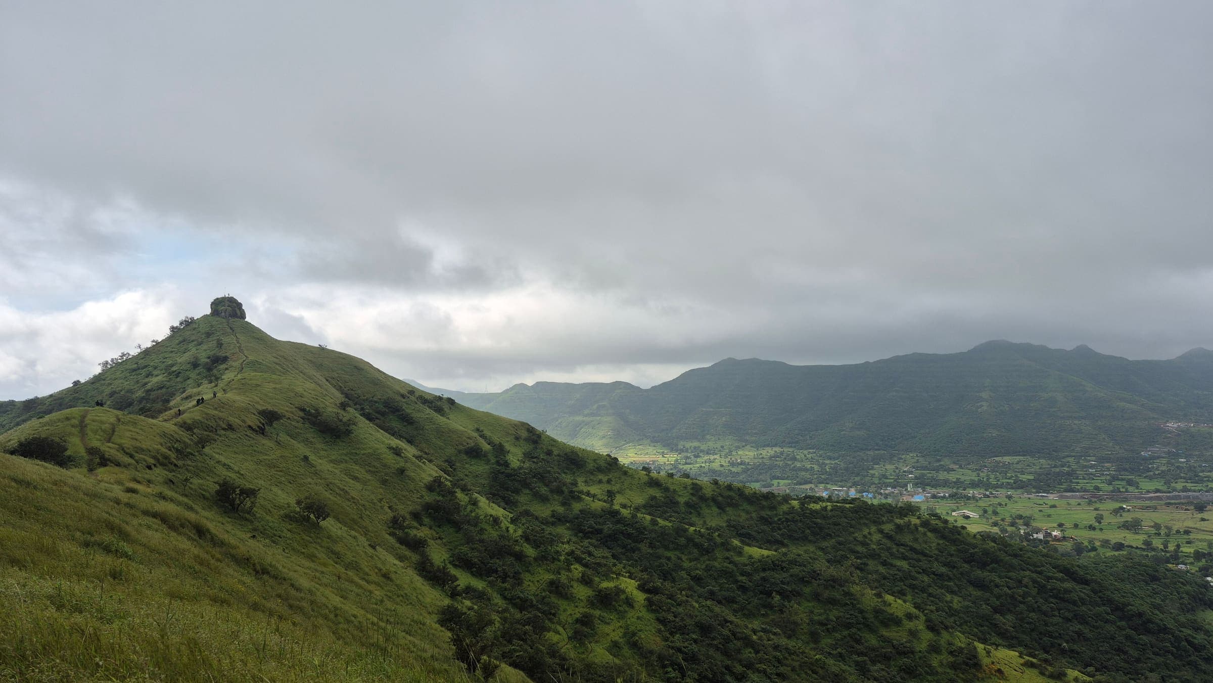
SAC T2 (mapped — no official SAC grade) · YDS 1
Kankarala Fort
OSM hiking route Kankarala Fort, Maharashtra (1.85 km line). out-and-back; one-way 1.85 km, round-trip 3.7 km in prose. Vertical figures from the GLO-30 resample. Days unknown.
Distance 1.85 km Reported · Ascent provisional (DEM sample) · High point provisional (DEM sample) · T2 · OSM route · permit-free on this record
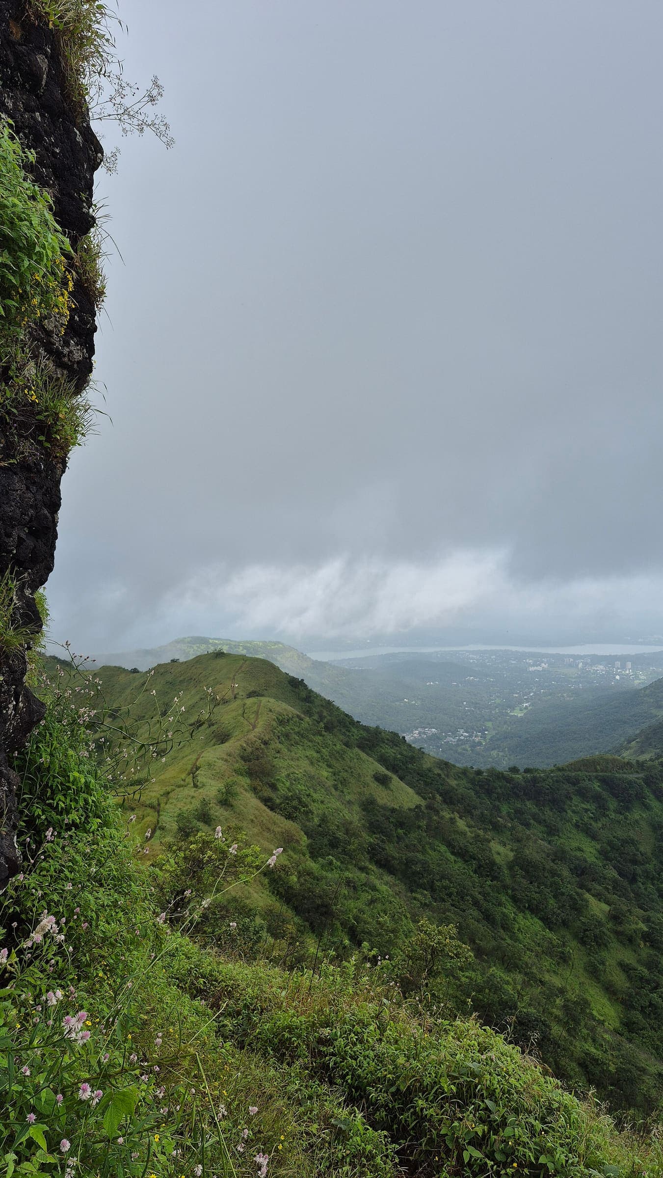
SAC T2 (mapped — no official SAC grade) · YDS 1
Katraj to Sinhagad
OSM hiking route Katraj to Sinhagad, Maharashtra (13.58 km line). connector traverse. Vertical figures from the GLO-30 resample. Days unknown.
Distance 13.58 km Reported · Ascent provisional (DEM sample) · High point provisional (DEM sample) · T2 · OSM route · permit-free on this record
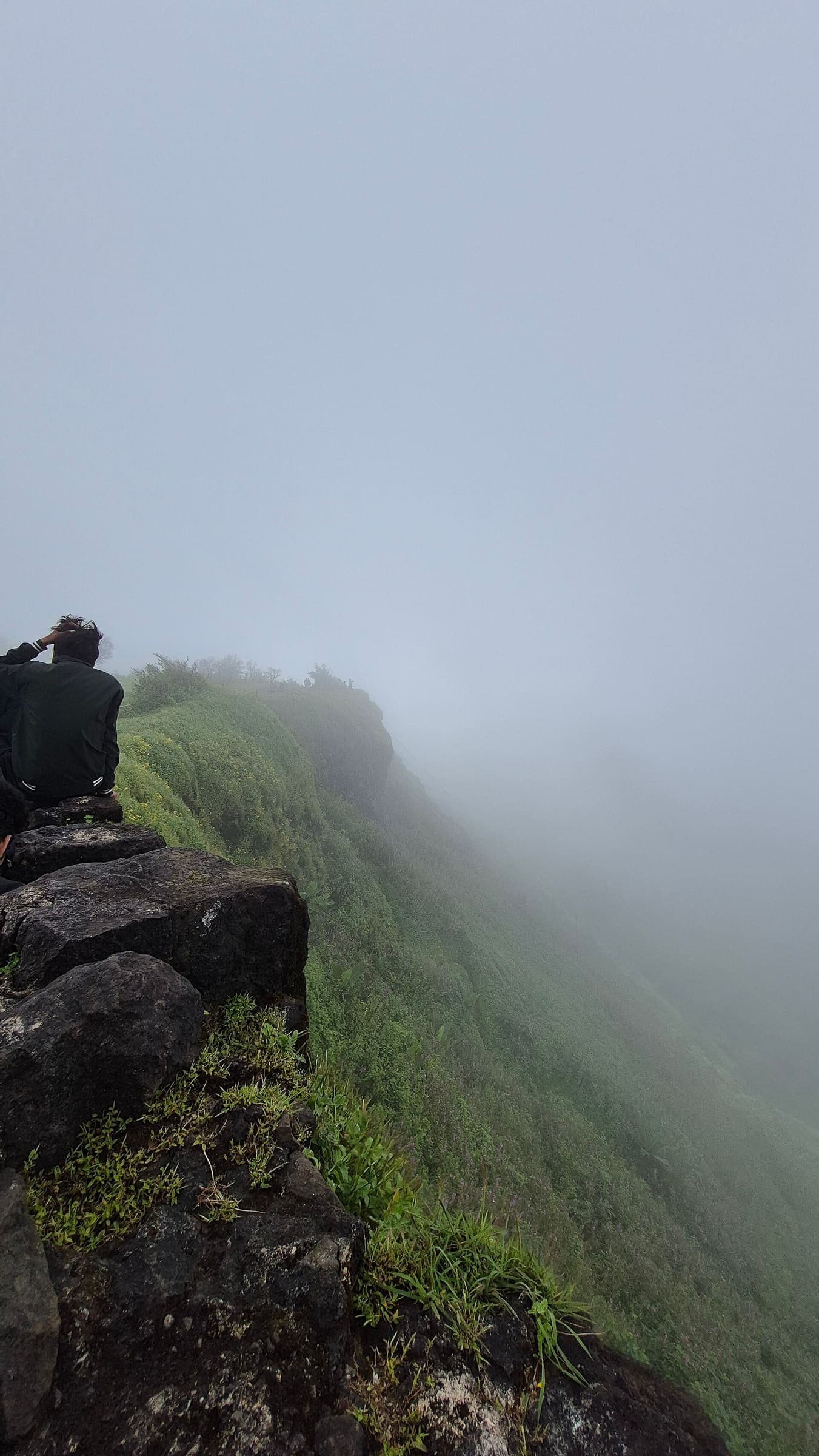
SAC T2 (mapped — no official SAC grade) · YDS 1
Kavlya Fort
OSM hiking route Kavlya Fort, Maharashtra (2.22 km line). out-and-back; one-way 2.22 km, round-trip 4.44 km in prose. Vertical figures from the GLO-30 resample. Days unknown.
Distance 2.22 km Reported · Ascent provisional (DEM sample) · High point provisional (DEM sample) · T2 · OSM route · permit-free on this record
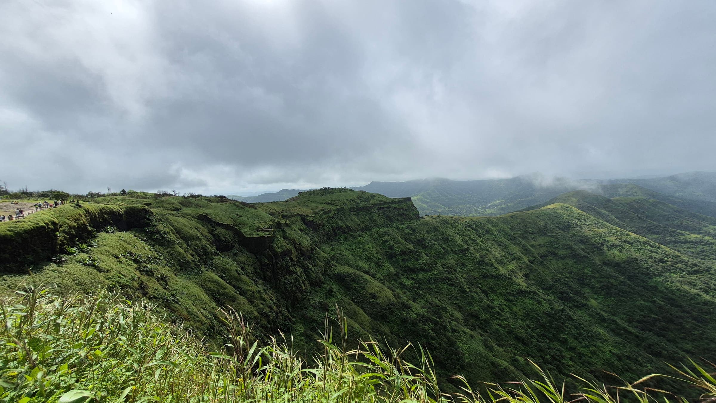
SAC T2 (mapped — no official SAC grade) · YDS 1
Kohoj Fort
OSM hiking route Kohoj Fort, Maharashtra (3.12 km line). out-and-back; one-way 3.12 km, round-trip 6.24 km in prose. Vertical figures from the GLO-30 resample. Days unknown.
Distance 3.12 km Reported · Ascent provisional (DEM sample) · High point provisional (DEM sample) · T2 · OSM route · permit-free on this record
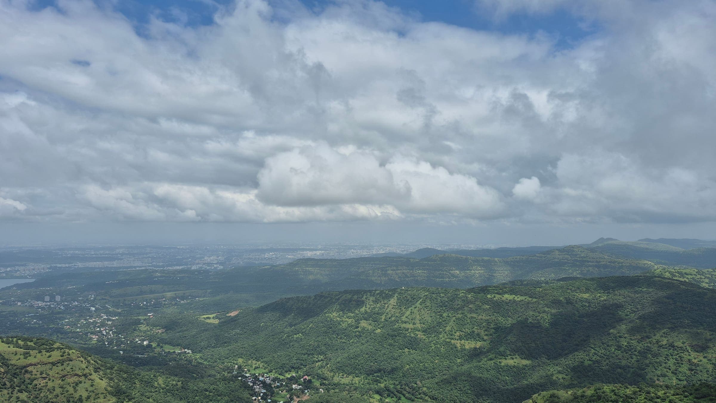
SAC T2 (mapped — no official SAC grade) · YDS 1
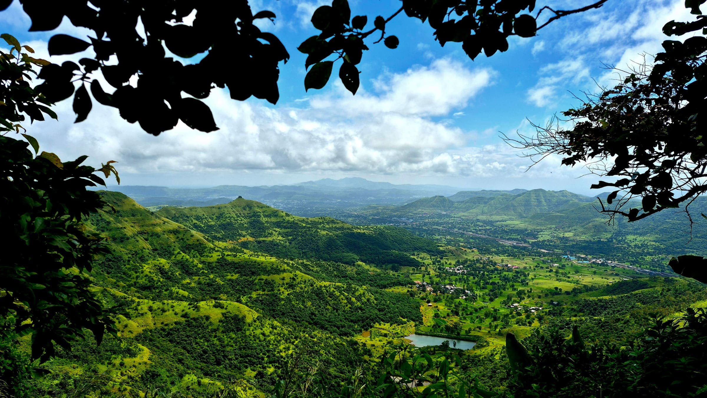
Lingana Fort
OSM hiking route Lingana Fort, Maharashtra (7.75 km line). out-and-back; one-way 7.75 km, round-trip 15.5 km in prose. Vertical figures from the GLO-30 resample. Days unknown.
Distance 7.75 km Reported · Ascent provisional (DEM sample) · High point provisional (DEM sample) · T2 · OSM route · permit-free on this record
SAC T2 (mapped — no official SAC grade) · YDS 1
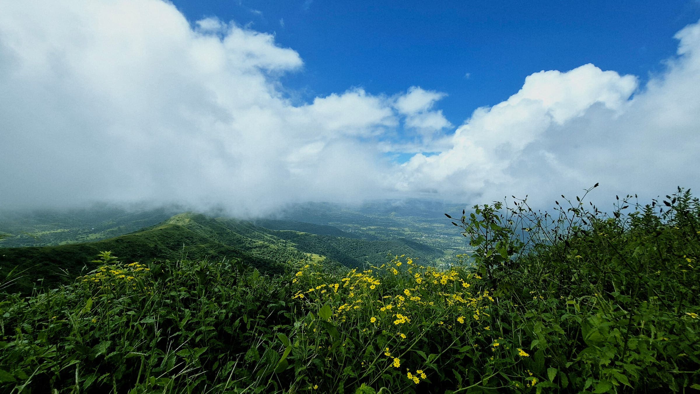
Machhindragad Fort
OSM hiking route Machhindragad Fort, Maharashtra (1.56 km line). out-and-back; one-way 1.56 km, round-trip 3.12 km in prose. Vertical figures from the GLO-30 resample. Days unknown.
Distance 1.56 km Reported · Ascent provisional (DEM sample) · High point provisional (DEM sample) · T2 · OSM route · permit-free on this record
SAC T2 (mapped — no official SAC grade) · YDS 1
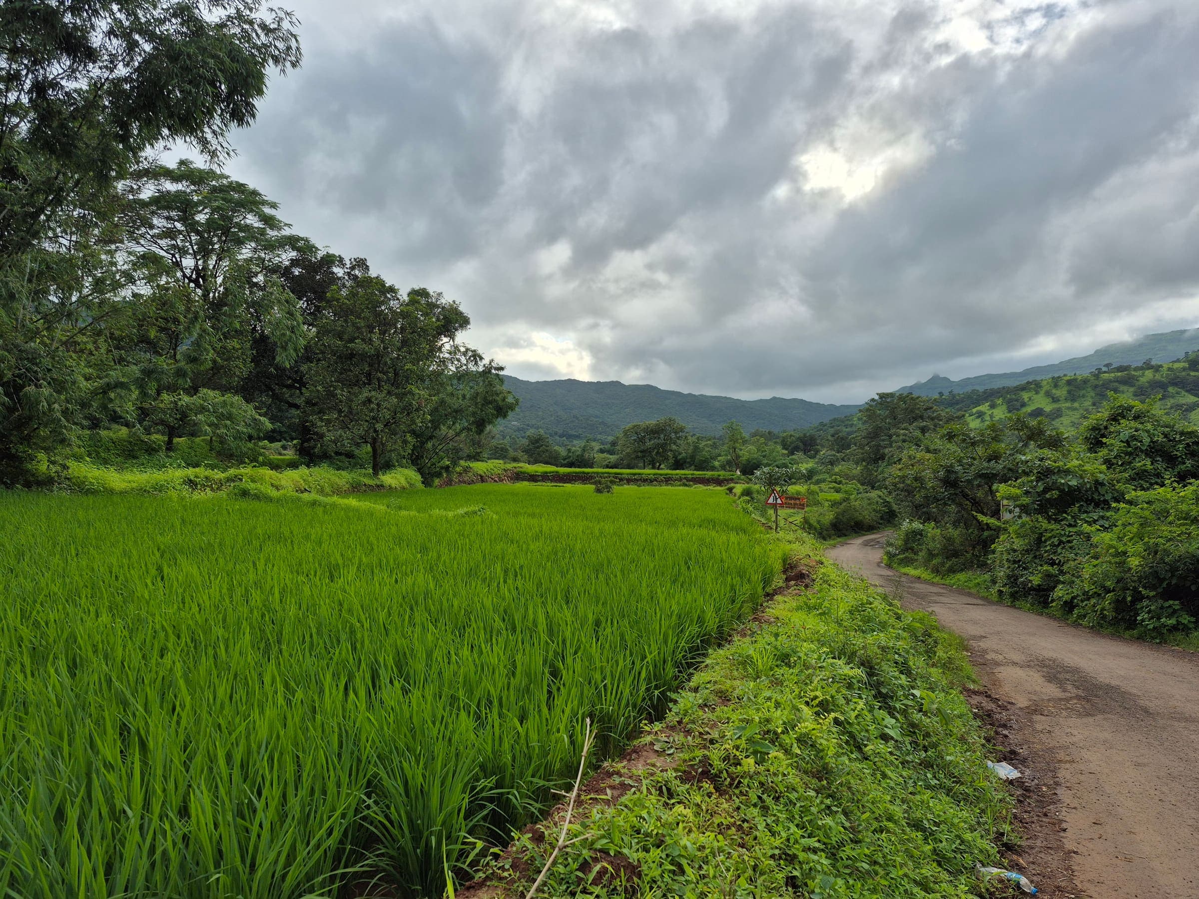
Mahendragad Fort
OSM hiking route Mahendragad Fort, Maharashtra (1.69 km line). out-and-back; one-way 1.69 km, round-trip 3.38 km in prose. Vertical figures from the GLO-30 resample. Days unknown.
Distance 1.69 km Reported · Ascent provisional (DEM sample) · High point provisional (DEM sample) · T2 · OSM route · permit-free on this record
SAC T2 (mapped — no official SAC grade) · YDS 1
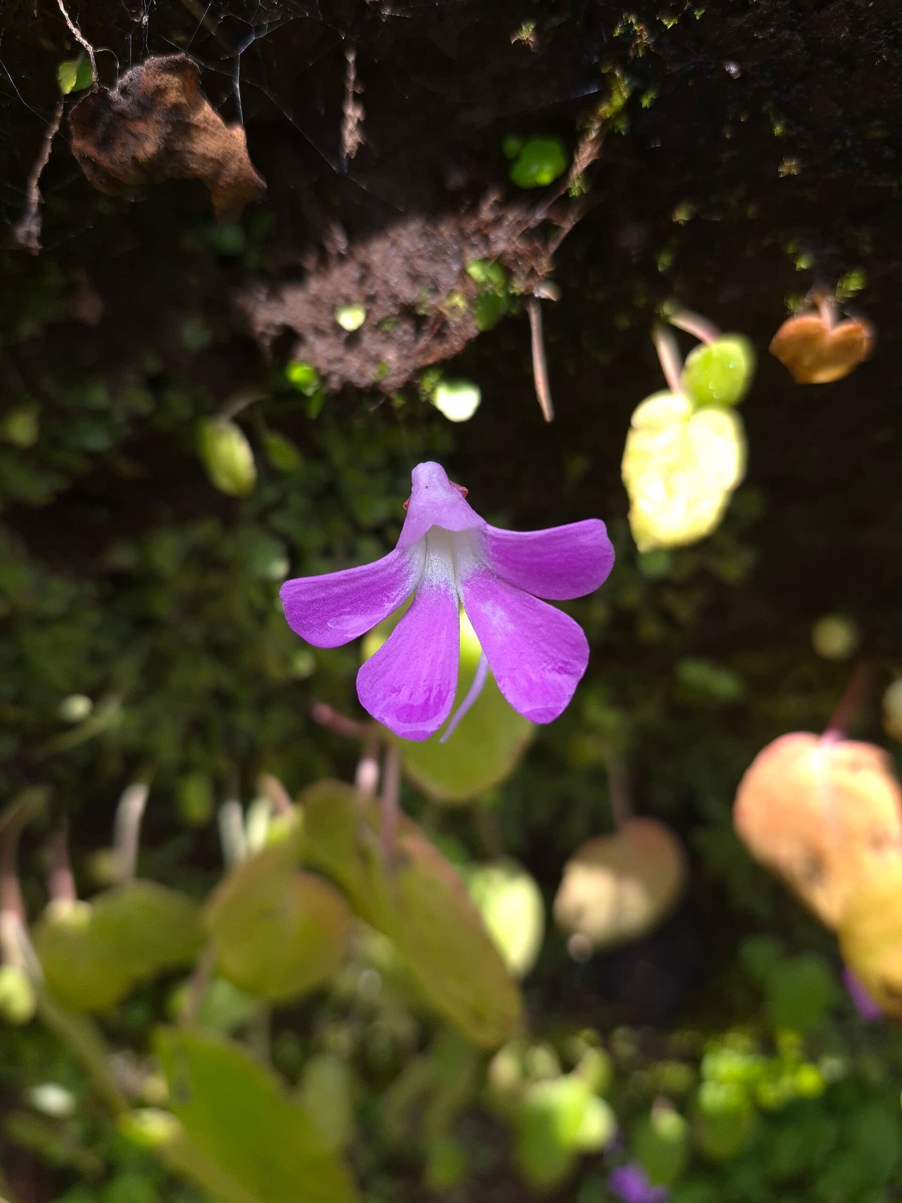
Mahuli Fort
OSM hiking route Mahuli Fort, Maharashtra (6.61 km line). out-and-back; one-way 6.61 km, round-trip 13.22 km in prose. Vertical figures from the GLO-30 resample. Days unknown.
Distance 6.61 km Reported · Ascent provisional (DEM sample) · High point provisional (DEM sample) · T2 · OSM route · permit-free on this record
SAC T2 (mapped — no official SAC grade) · YDS 1
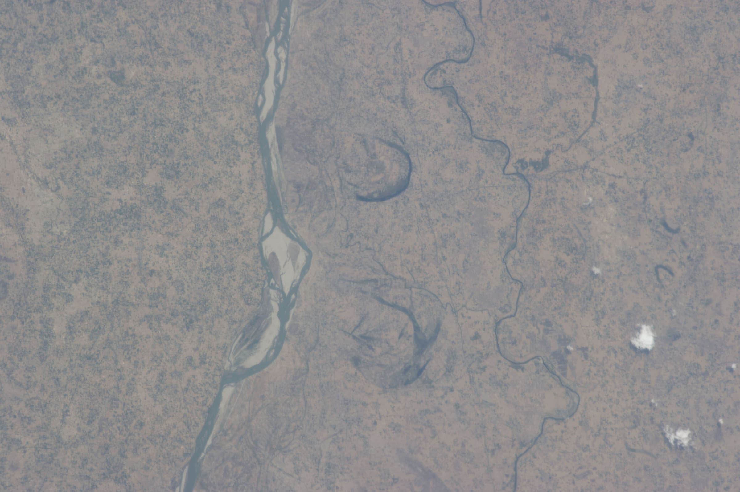
Makarandgad Fort
OSM hiking route Makarandgad Fort, Maharashtra (14.78 km line). Vertical figures from the GLO-30 resample. Days unknown.
Distance 14.78 km Reported · Ascent provisional (DEM sample) · High point provisional (DEM sample) · T2 · OSM route · permit-free on this record
SAC T2 (mapped — no official SAC grade) · YDS 1
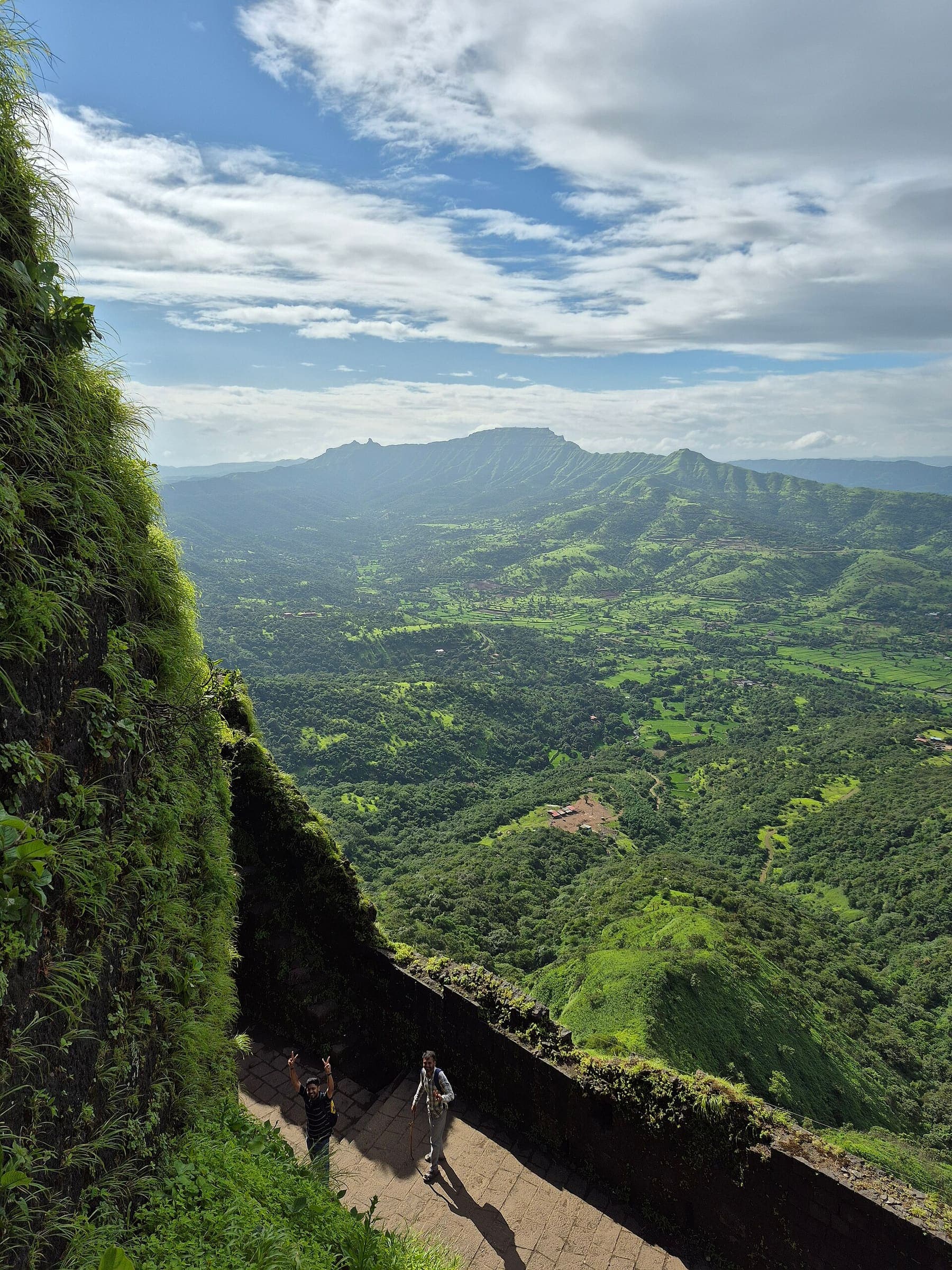
Malhargad Fort
OSM hiking route Malhargad Fort, Maharashtra (7.37 km line). ⚠ 2-component 150 m gap. Vertical figures from the GLO-30 resample. Days unknown.
Distance 7.37 km Reported · Ascent provisional (DEM sample) · High point provisional (DEM sample) · T2 · OSM route · permit-free on this record
SAC T2 (mapped — no official SAC grade) · YDS 1
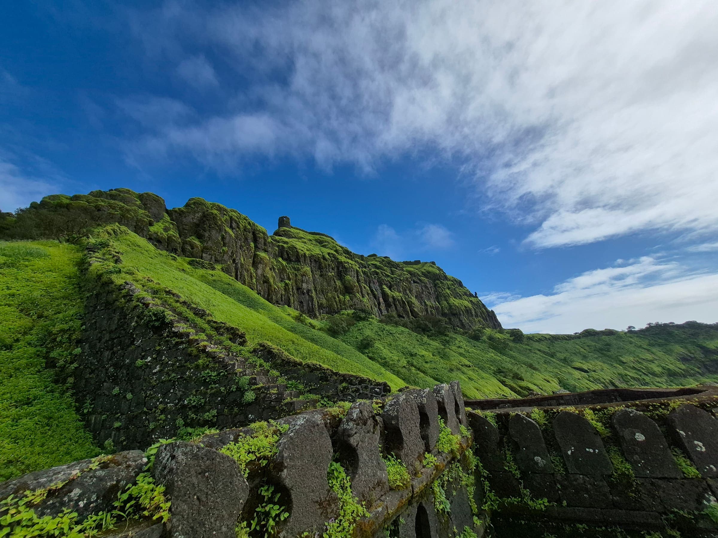
Mangalgad Fort
OSM hiking route Mangalgad Fort, Maharashtra (9.29 km line). Vertical figures from the GLO-30 resample. Days unknown.
Distance 9.29 km Reported · Ascent provisional (DEM sample) · High point provisional (DEM sample) · T2 · OSM route · permit-free on this record
SAC T2 (mapped — no official SAC grade) · YDS 1
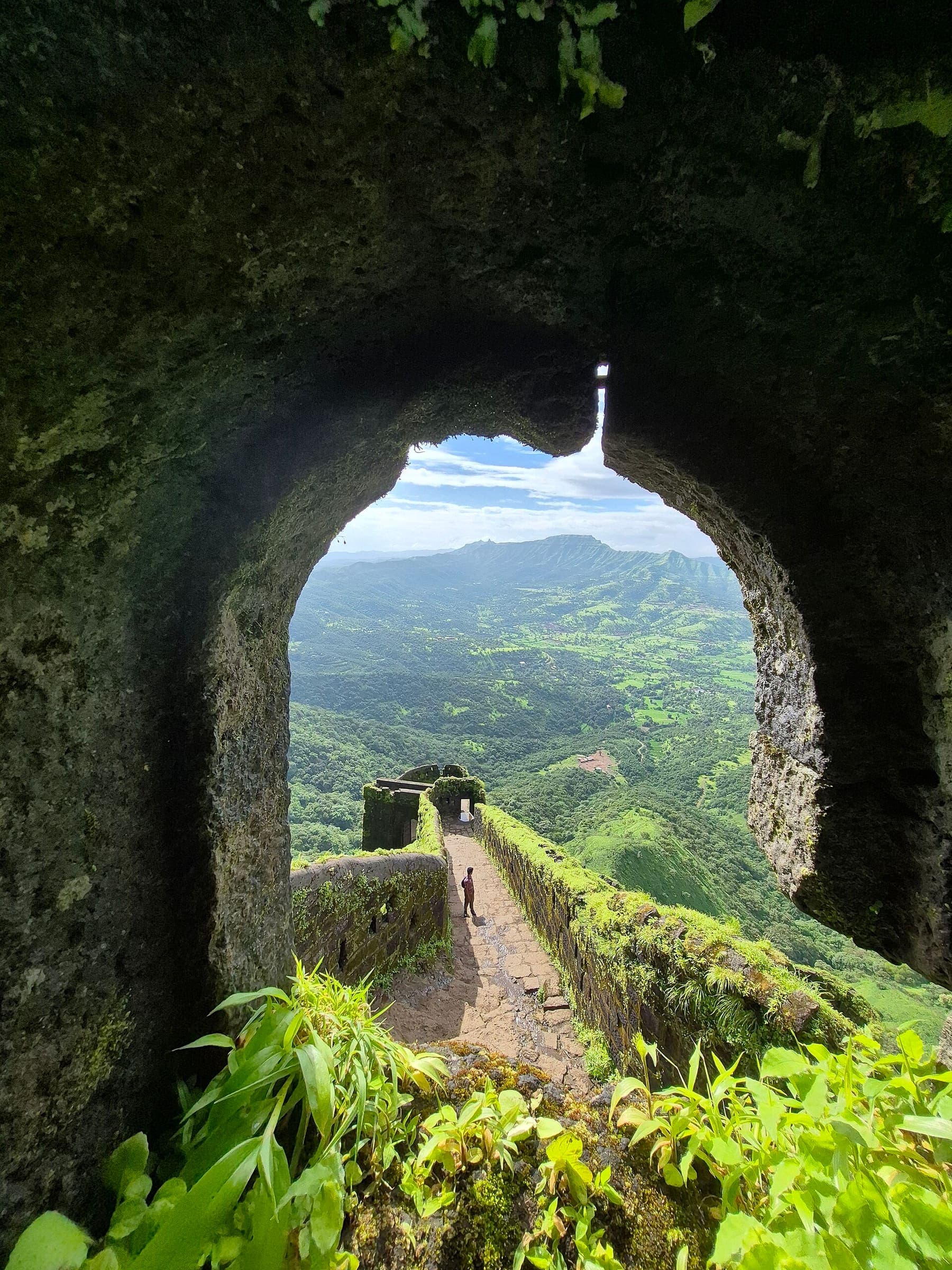
Mohangad Fort
OSM hiking route Mohangad Fort, Maharashtra (10.06 km line). Vertical figures from the GLO-30 resample. Days unknown.
Distance 10.06 km Reported · Ascent provisional (DEM sample) · High point provisional (DEM sample) · T2 · OSM route · permit-free on this record
SAC T2 (mapped — no official SAC grade) · YDS 1
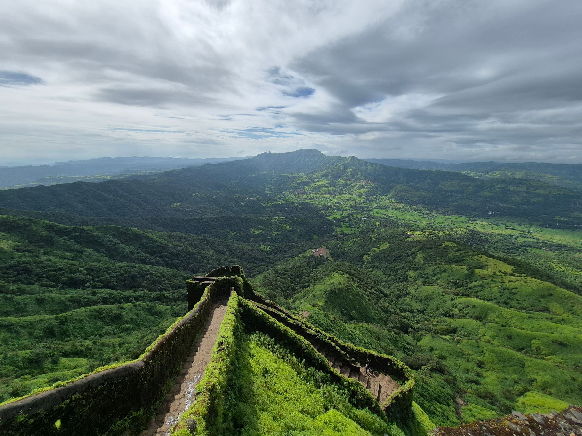
Mohangad Fort 2
OSM hiking route Mohangad Fort 2, Maharashtra (9.2 km line). Vertical figures from the GLO-30 resample. Days unknown.
Distance 9.2 km Reported · Ascent provisional (DEM sample) · High point provisional (DEM sample) · T2 · OSM route · permit-free on this record
SAC T2 (mapped — no official SAC grade) · YDS 1
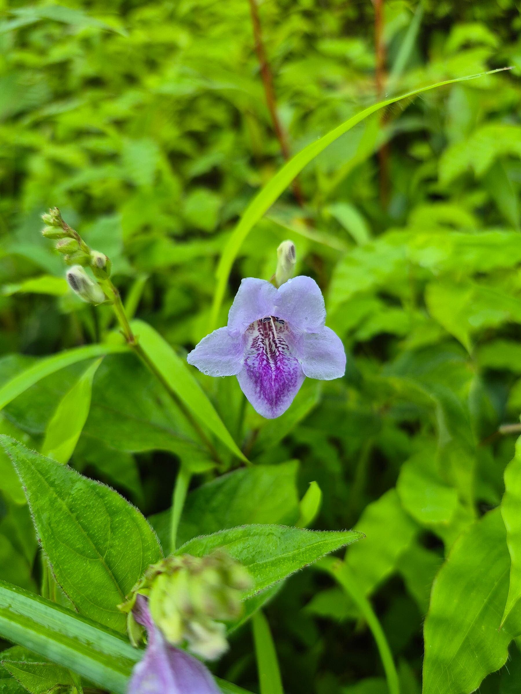
Morgiri fort
OSM hiking route Morgiri fort, Maharashtra (2.58 km line). out-and-back; one-way 2.58 km, round-trip 5.16 km in prose. Vertical figures from the GLO-30 resample. Days unknown.
Distance 2.58 km Reported · Ascent provisional (DEM sample) · High point provisional (DEM sample) · T2 · OSM route · permit-free on this record
SAC T2 (mapped — no official SAC grade) · YDS 1
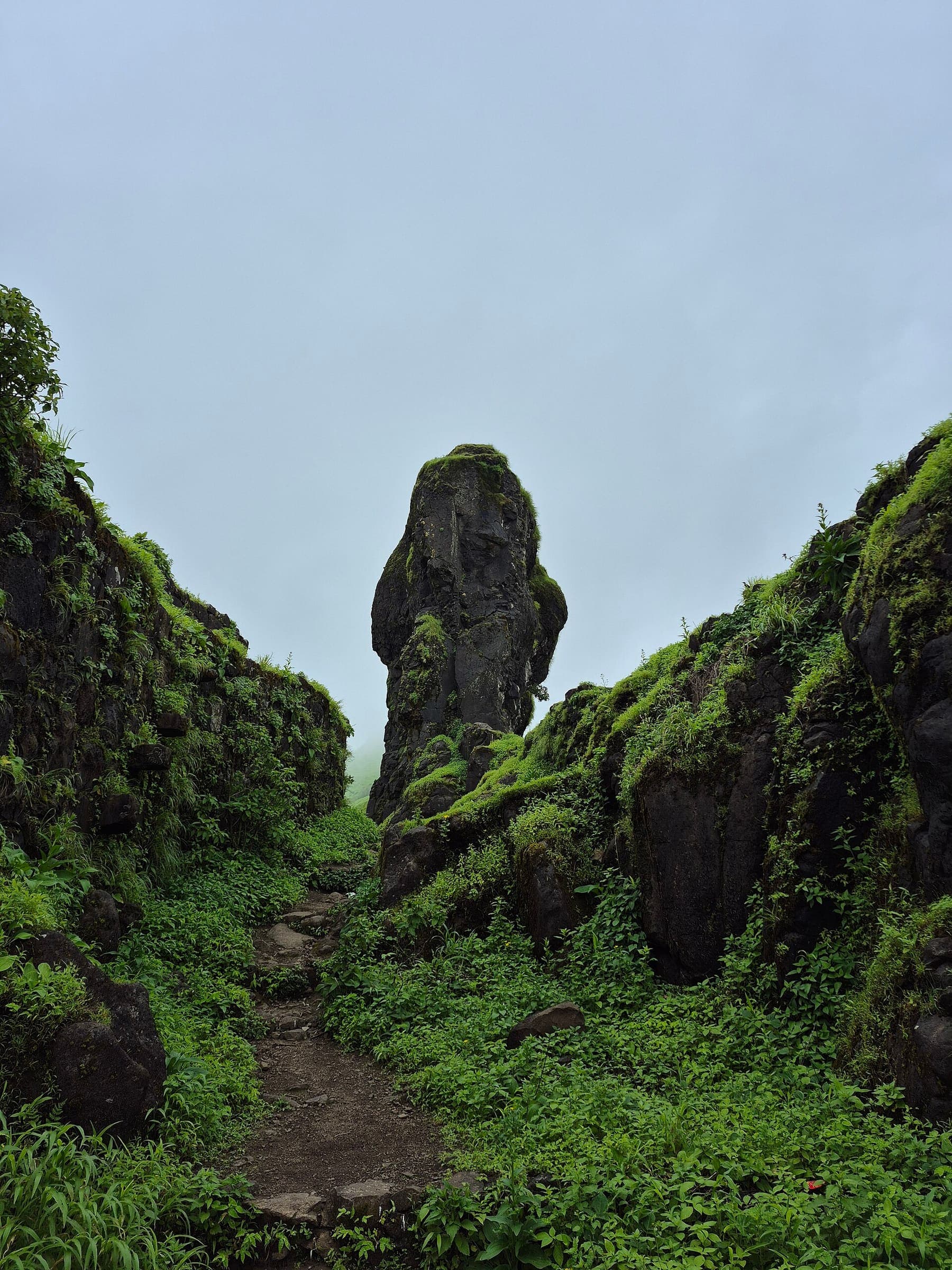
Nandin Fort
OSM hiking route Nandin Fort, Maharashtra (5.07 km line). out-and-back; one-way 5.07 km, round-trip 10.14 km in prose; ⚠ 2-component 276 m gap. Vertical figures from the GLO-30 resample. Days unknown.
Distance 5.07 km Reported · Ascent provisional (DEM sample) · High point provisional (DEM sample) · T2 · OSM route · permit-free on this record
SAC T2 (mapped — no official SAC grade) · YDS 1
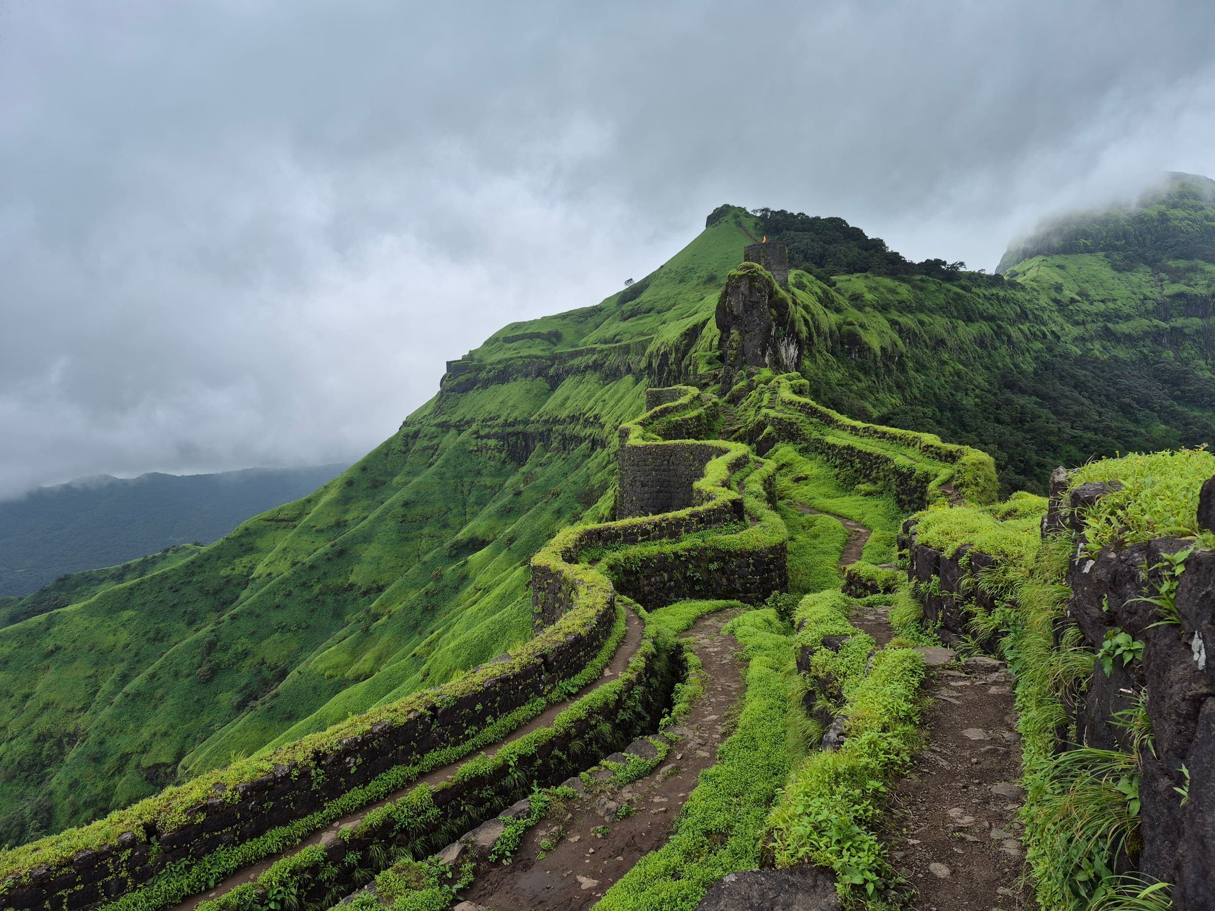
Pabargad Fort
OSM hiking route Pabargad Fort, Maharashtra (3.6 km line). out-and-back; one-way 3.6 km, round-trip 7.2 km in prose. Vertical figures from the GLO-30 resample. Days unknown.
Distance 3.6 km Reported · Ascent provisional (DEM sample) · High point provisional (DEM sample) · T2 · OSM route · permit-free on this record
SAC T2 (mapped — no official SAC grade) · YDS 1
Panhalgad Fort
OSM hiking route Panhalgad Fort, Maharashtra (1.47 km line). out-and-back; one-way 1.47 km, round-trip 2.94 km in prose; ⚠ 3-component 238 m gap. Vertical figures from the GLO-30 resample. Days unknown.
Distance 1.47 km Reported · Ascent provisional (DEM sample) · High point provisional (DEM sample) · T2 · OSM route · permit-free on this record
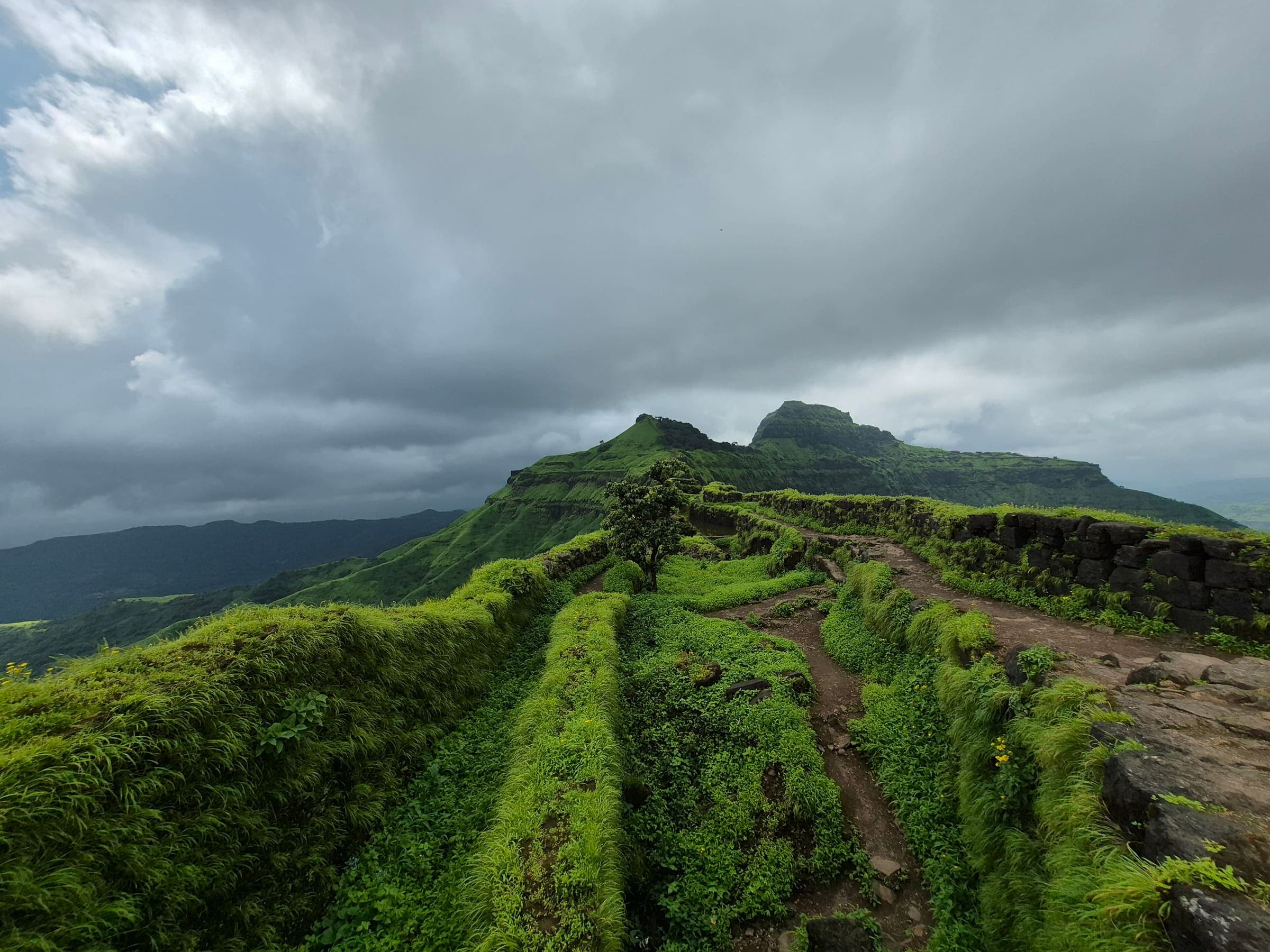
SAC T2 (mapped — no official SAC grade) · YDS 1
Parvatgad Fort
OSM hiking route Parvatgad Fort, Maharashtra (1.74 km line). out-and-back; one-way 1.74 km, round-trip 3.48 km in prose. Vertical figures from the GLO-30 resample. Days unknown.
Distance 1.74 km Reported · Ascent provisional (DEM sample) · High point provisional (DEM sample) · T2 · OSM route · permit-free on this record
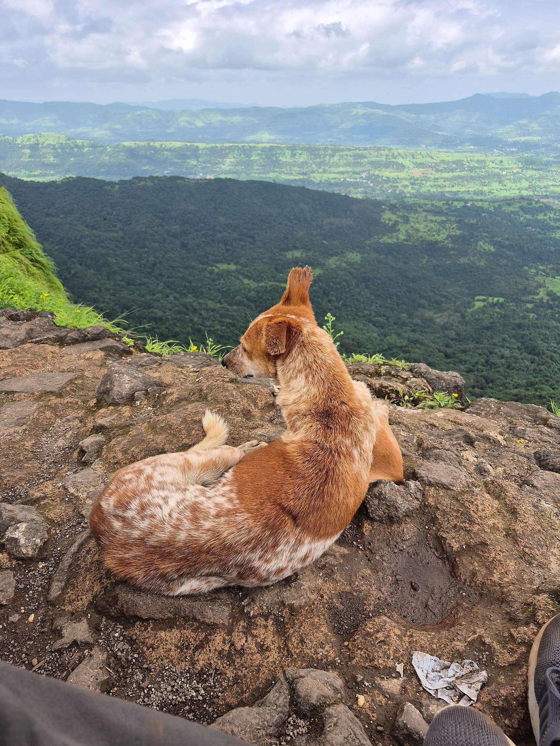
SAC T2 (mapped — no official SAC grade) · YDS 1
Peb Fort 1
OSM hiking route Peb Fort 1, Maharashtra (7.77 km line). out-and-back; one-way 7.77 km, round-trip 15.54 km in prose. Vertical figures from the GLO-30 resample. Days unknown.
Distance 7.77 km Reported · Ascent provisional (DEM sample) · High point provisional (DEM sample) · T2 · OSM route · permit-free on this record
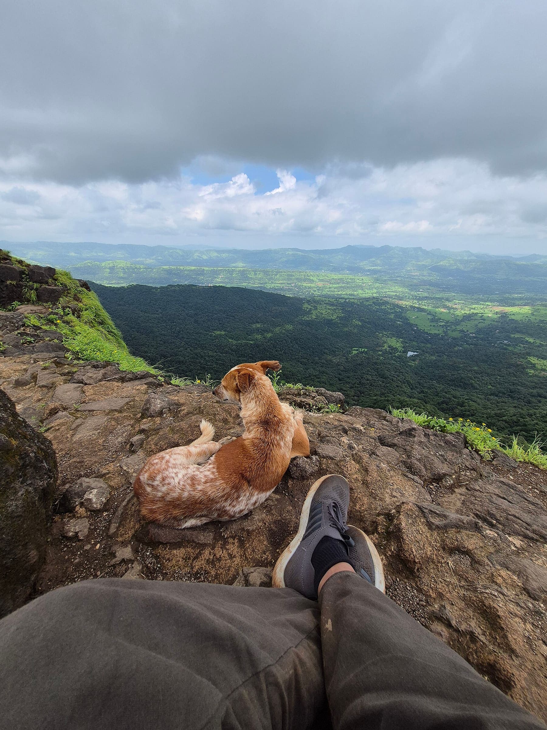
SAC T2 (mapped — no official SAC grade) · YDS 1
Peb Fort 2
OSM hiking route Peb Fort 2, Maharashtra (2.31 km line). out-and-back; one-way 2.31 km, round-trip 4.62 km in prose; ⚠ 2-component 15 m gap. Vertical figures from the GLO-30 resample. Days unknown.
Distance 2.31 km Reported · Ascent provisional (DEM sample) · High point provisional (DEM sample) · T2 · OSM route · permit-free on this record
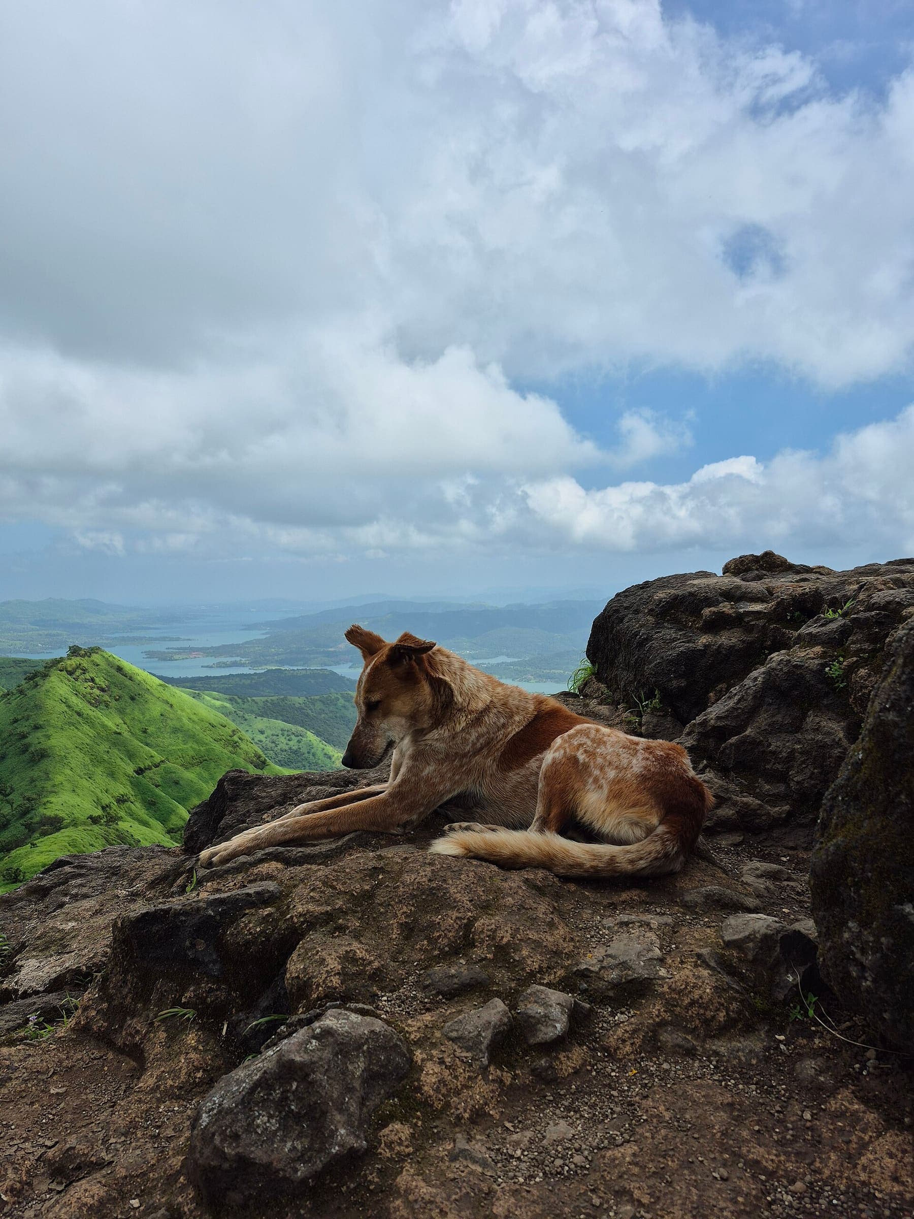
SAC T2 (mapped — no official SAC grade) · YDS 1
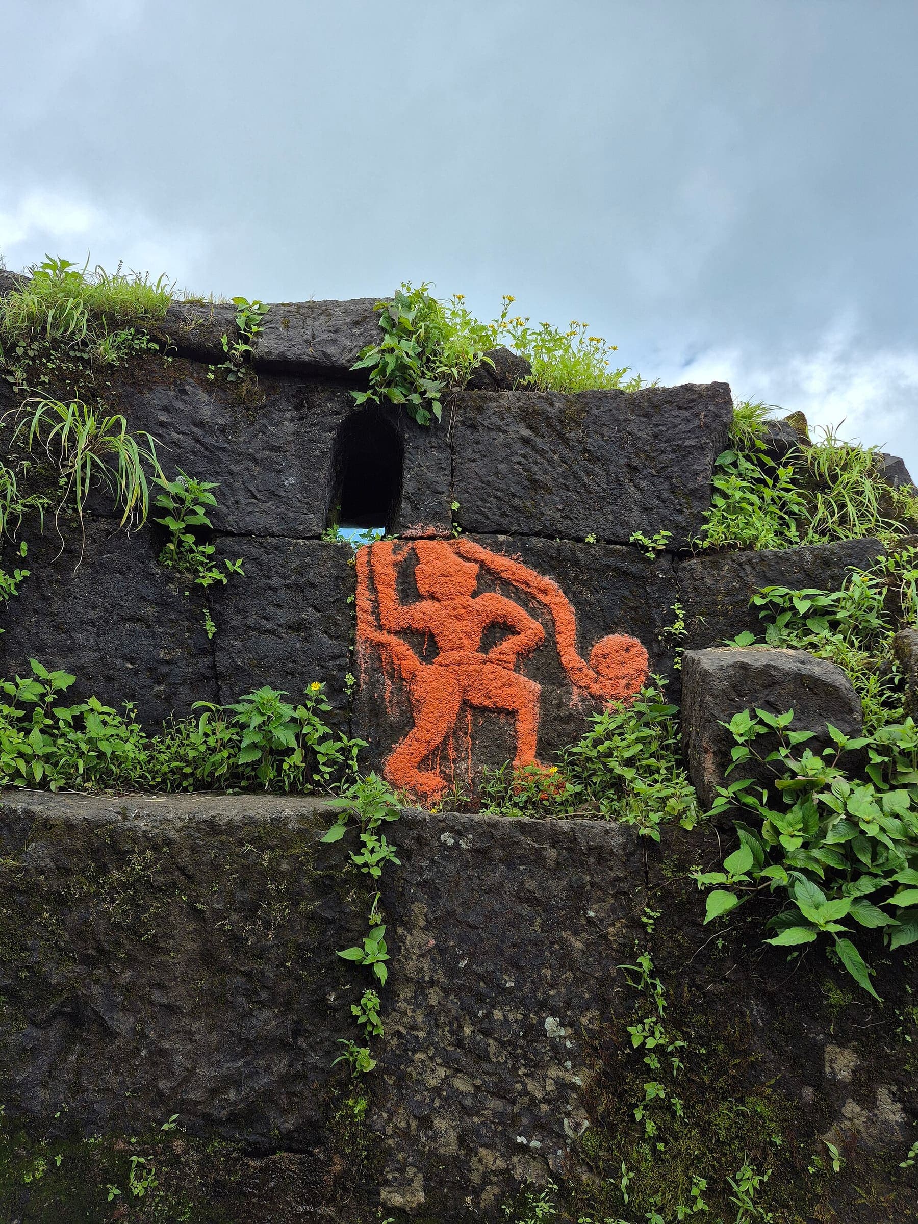
Peb Fort 3
OSM hiking route Peb Fort 3, Maharashtra (2.45 km line). out-and-back; one-way 2.45 km, round-trip 4.9 km in prose; ⚠ 2-component 103 m gap. Vertical figures from the GLO-30 resample. Days unknown.
Distance 2.45 km Reported · Ascent provisional (DEM sample) · High point provisional (DEM sample) · T2 · OSM route · permit-free on this record
SAC T2 (mapped — no official SAC grade) · YDS 1
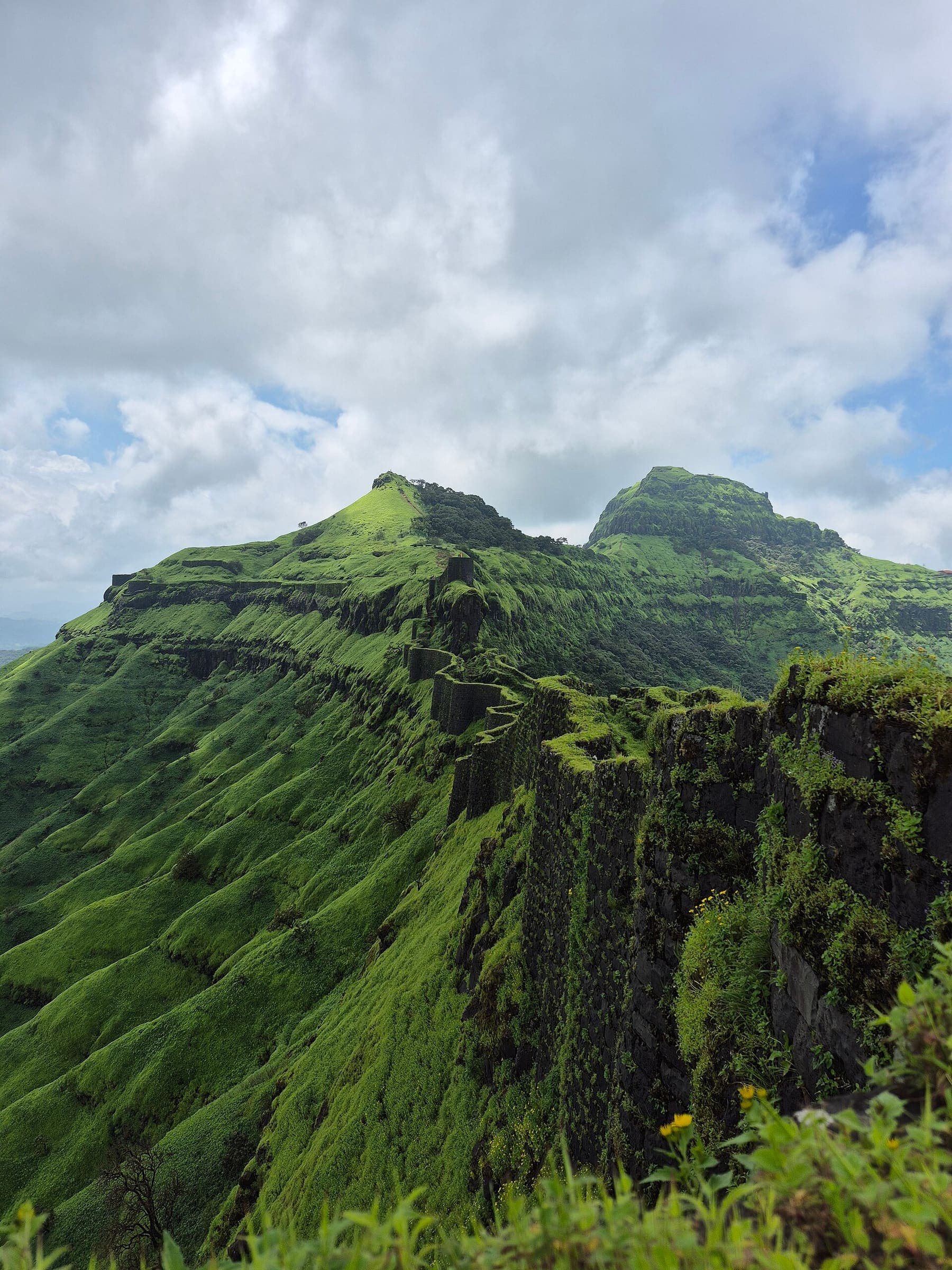
Peb Fort 4
OSM hiking route Peb Fort 4, Maharashtra (2.55 km line). out-and-back; one-way 2.55 km, round-trip 5.1 km in prose. Vertical figures from the GLO-30 resample. Days unknown.
Distance 2.55 km Reported · Ascent provisional (DEM sample) · High point provisional (DEM sample) · T2 · OSM route · permit-free on this record
SAC T2 (mapped — no official SAC grade) · YDS 1
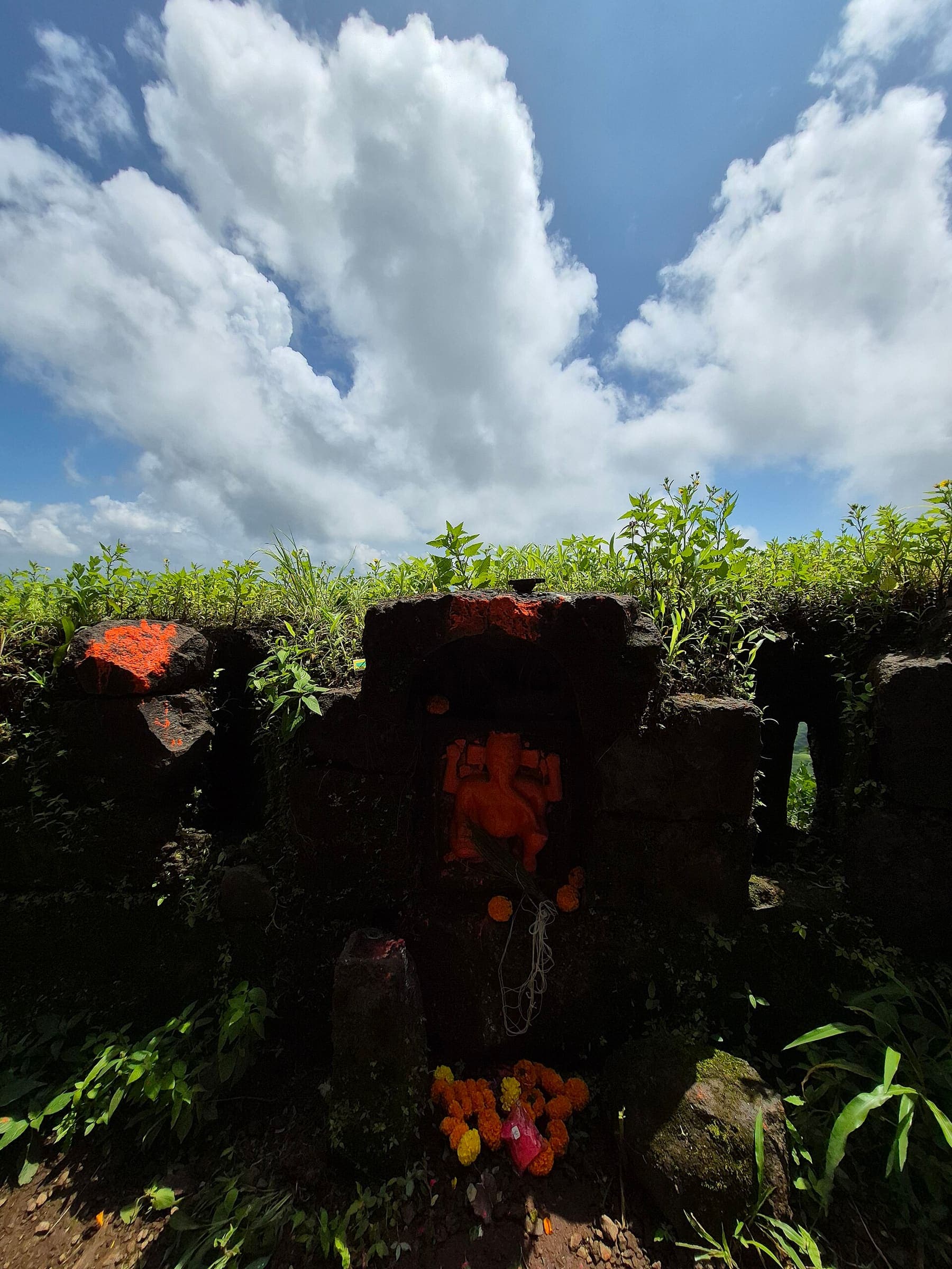
Peb Fort 5
OSM hiking route Peb Fort 5, Maharashtra (2.2 km line). out-and-back; one-way 2.2 km, round-trip 4.4 km in prose. Vertical figures from the GLO-30 resample. Days unknown.
Distance 2.2 km Reported · Ascent provisional (DEM sample) · High point provisional (DEM sample) · T2 · OSM route · permit-free on this record
SAC T2 (mapped — no official SAC grade) · YDS 1
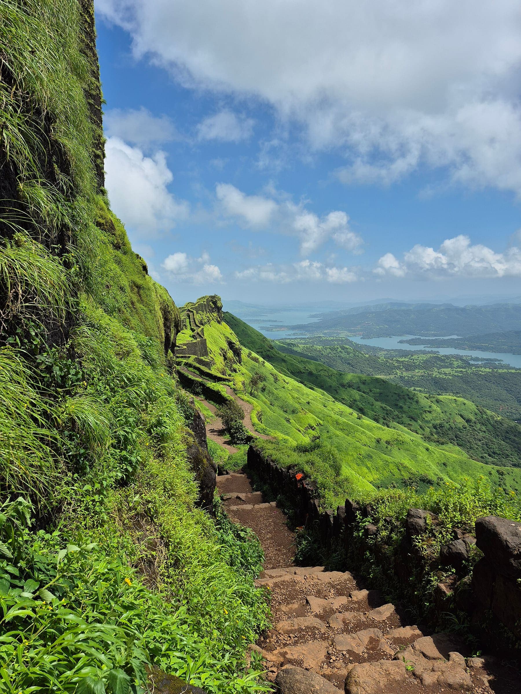
Prachitgad Fort
OSM hiking route Prachitgad Fort, Maharashtra (10.87 km line). out-and-back; one-way 10.87 km, round-trip 21.74 km in prose; ⚠ 2-component 1,265 m gap. Vertical figures from the GLO-30 resample. Days unknown.
Distance 10.87 km Reported · Ascent provisional (DEM sample) · High point provisional (DEM sample) · T2 · OSM route · permit-free on this record
SAC T2 (mapped — no official SAC grade) · YDS 1
Raigad Fort 2
OSM hiking route Raigad Fort 2, Maharashtra (9.39 km line). out-and-back; one-way 9.39 km, round-trip 18.78 km in prose. Vertical figures from the GLO-30 resample. Days unknown.
Distance 9.39 km Reported · Ascent provisional (DEM sample) · High point provisional (DEM sample) · T2 · OSM route · permit-free on this record