
New Zealand · catalog list
Hikes in Fiordland
Every hike we hold in Fiordland, shortest stored distance first. Ordered by stored distance. This is the catalog, not a scored ranking and not a route planner.
Fiordland region overview · Filter by grade, duration, and permit

DOC: Great Walk / Intermediate · SAC T2 (mapped — no official SAC grade) · YDS 1
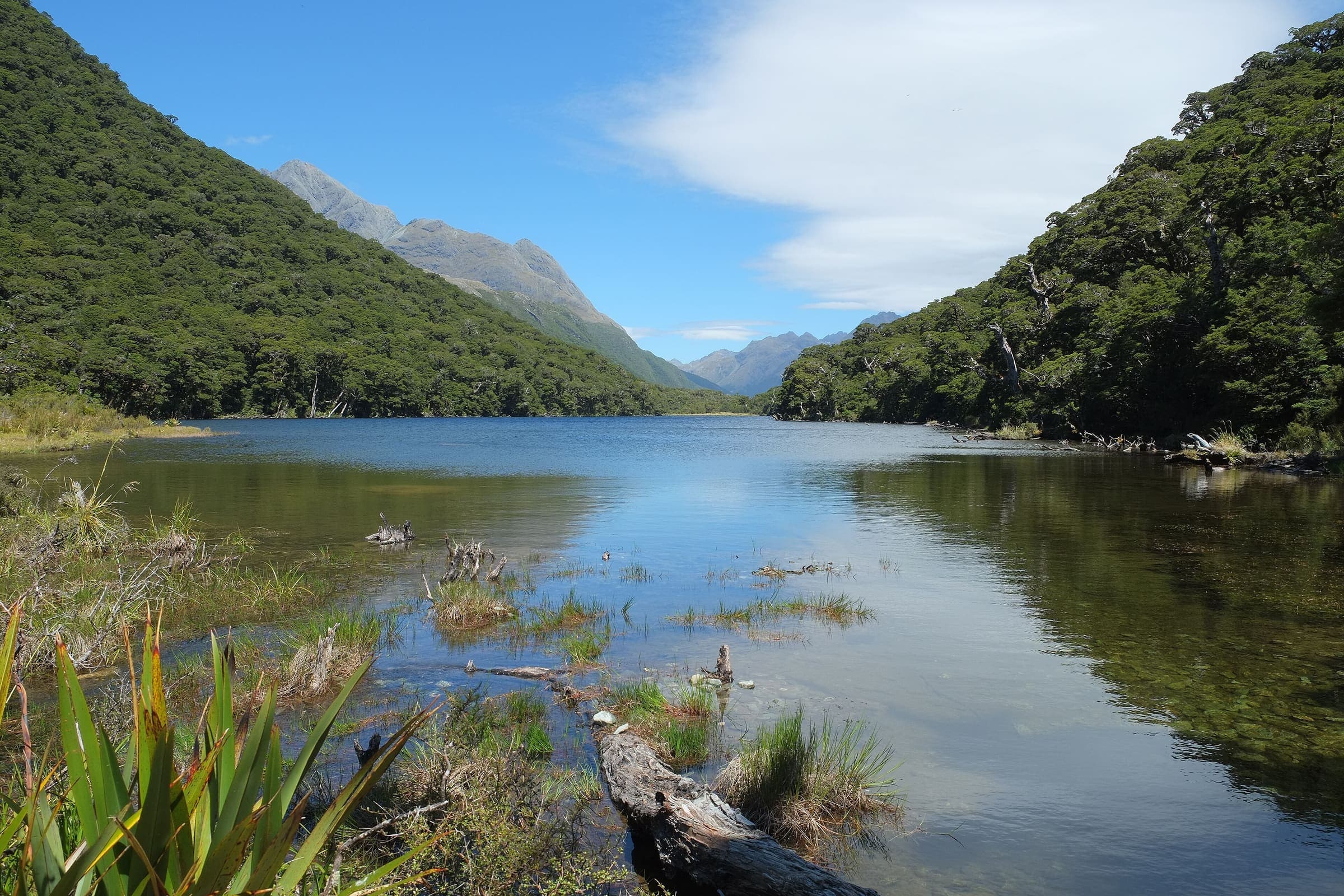
Kepler Track
OSM hiking route in Fiordland, New Zealand (61.6 km loop). Vertical figures sampled from Copernicus GLO-30.
Distance 61.6 km Reported · High point provisional (DEM sample) · 4d · SAC T2 · permit
DOC: Great Walk / Easier tramping track (in season) · SAC T2 (mapped — no official SAC grade) · YDS 1
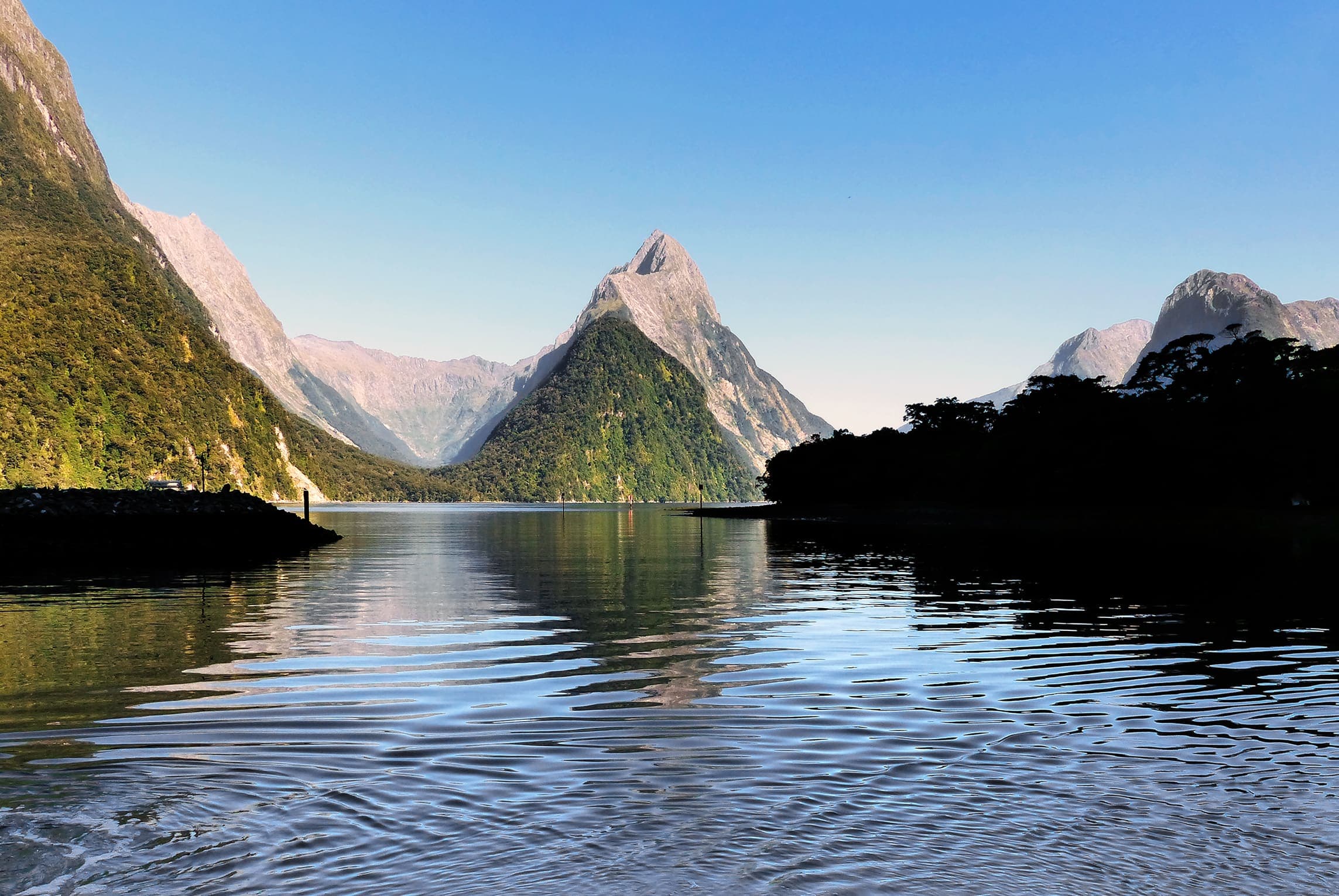
Routeburn Track
OSM hiking route spanning Fiordland and Mount Aspiring, New Zealand (31.5 km line), Routeburn Shelter to The Divide. Vertical figures sampled from Copernicus GLO-30.
Distance 31.5 km Reported · Ascent provisional (DEM sample) · High point provisional (DEM sample) · 3d · SAC T2 · permit
DOC: Great Walk / Easier tramping track (in season) · SAC T2 (mapped — no official SAC grade) · YDS 1
Milford Track
Milford Track, Fiordland, Glade Wharf to Sandfly Point. DOC trail length is 53.5 km (Milford Track Guide, brochure R214045). Reported OSM geometry is 53.6 km. Vertical figures sampled from Copernicus GLO-30.
Distance 53.5 km Verified · Ascent provisional (DEM sample) · High point provisional (DEM sample) · 4d · SAC T2 · permit