
Peru · catalog list
Best hikes in Cusco
Every hike this desk holds in Cusco, shortest stored distance first. This is the catalog, not a scored ranking and not a route planner.
Cusco region desk · Filter by grade, duration, and permit
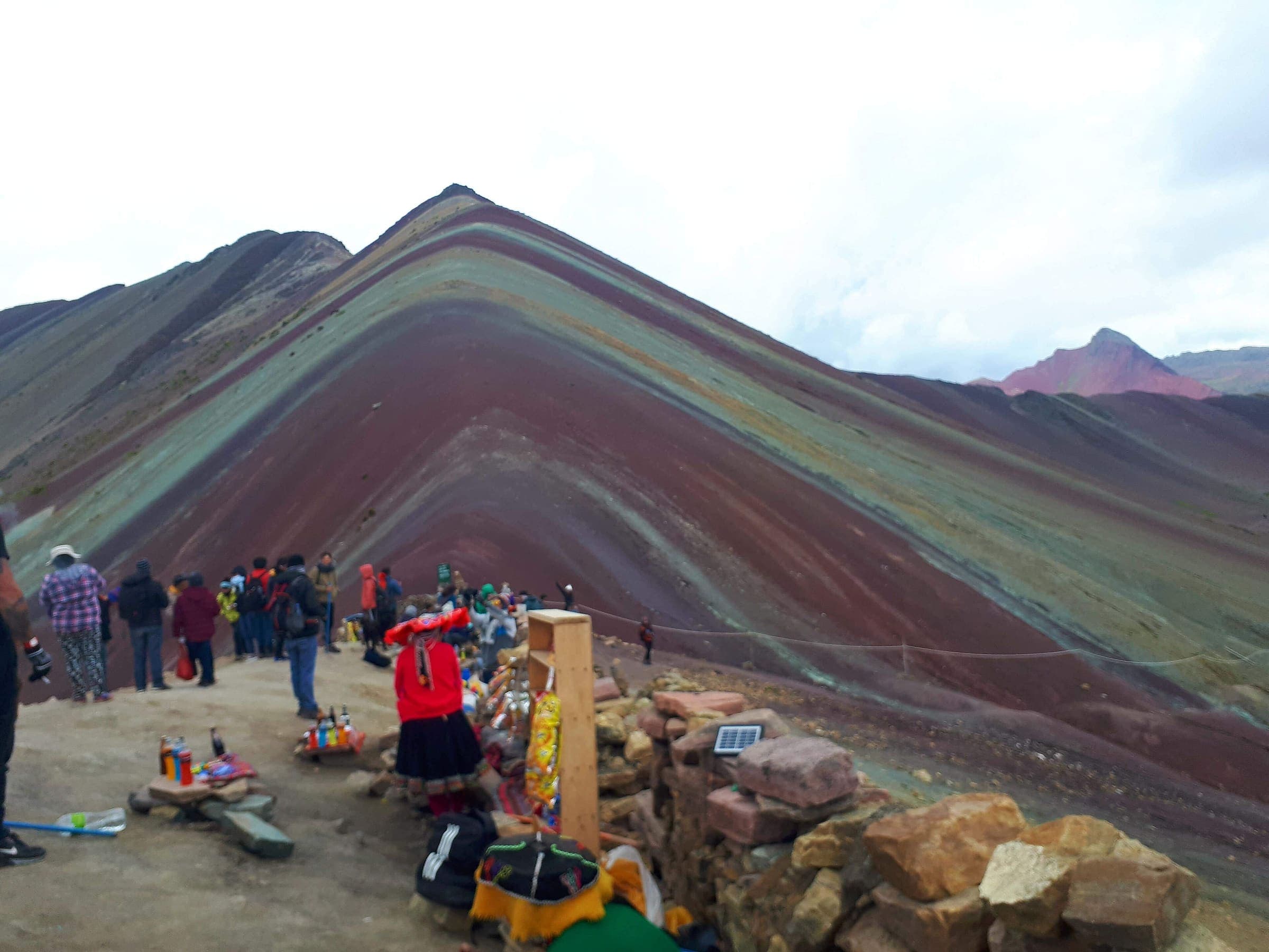
SAC T2 (mapped — no official SAC grade) · YDS 1
Rainbow Mountain (Vinicunca)
Curated schematic — not walking distance. Pin-to-pin OSM named-waypoint line Phulawasipata → Vinicunca viewpoint. Cited itinerary ~7 km round (provisional, secondary). Community trailhead fee (reported secondary). High 5,036 m is the Vinicunca landmark.
7 km · 1 days · permit
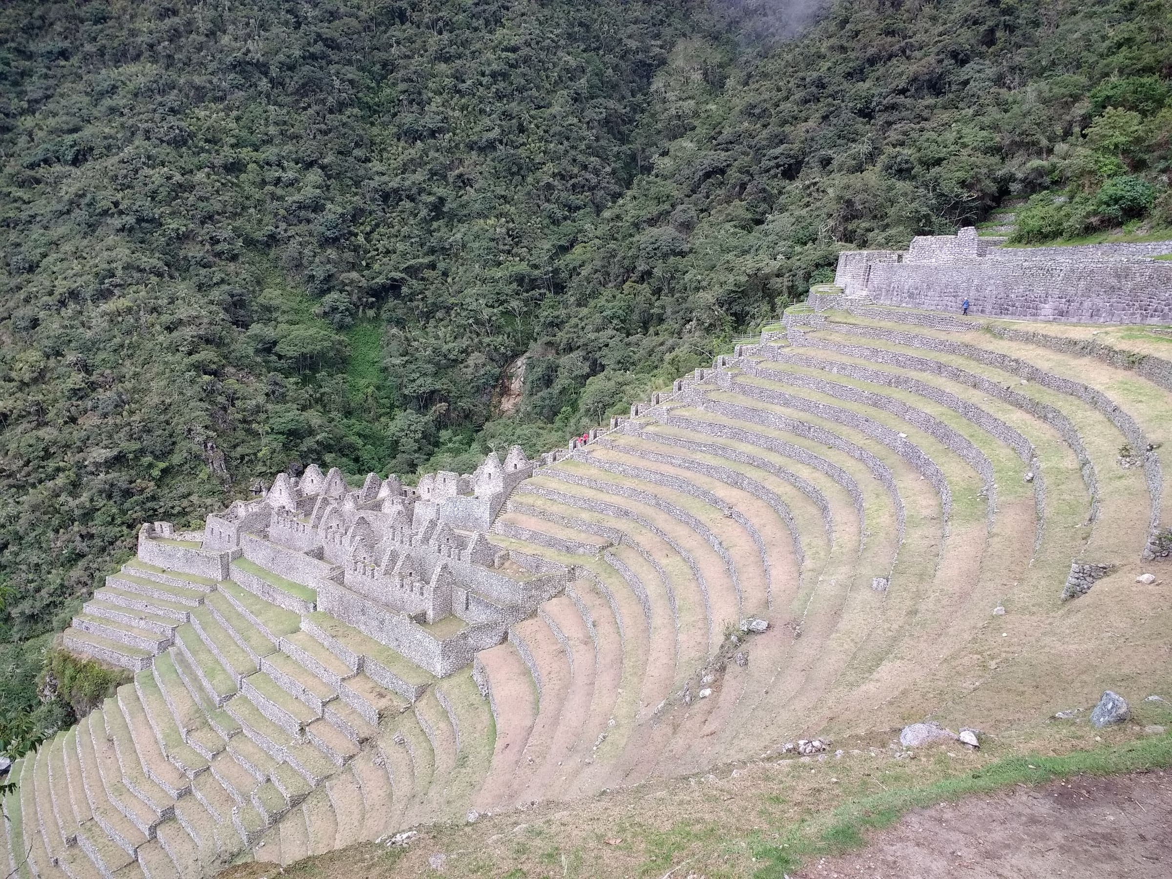
SAC T2 (mapped — no official SAC grade) · YDS 1
Short Inca Trail (KM104)
Curated schematic — not walking distance. Pin-to-pin OSM named-waypoint line Chachabamba (KM104) → Wiñay Wayna → Inti Punku → Machu Picchu. Cited itinerary ~12 km one-way (provisional, secondary). Government permit, licensed operator. High 2,720 m is the Sun Gate landmark.
12 km · 2 days · permit
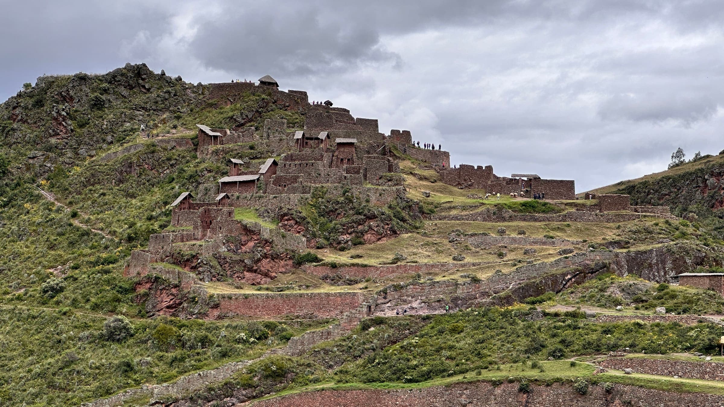
SAC T2 (mapped — no official SAC grade) · YDS 1
Huchuy Qosqo
Curated schematic — not walking distance. Pin-to-pin OSM named-waypoint line Tauca → Huchuy Qosqo site → Lamay. Cited itinerary ~17 km (provisional, secondary). No formal government permit (reported secondary). High 4,200 m is the Pumamarca Pass landmark, omitted from the line.
17 km · 2 days · permit-free on this record
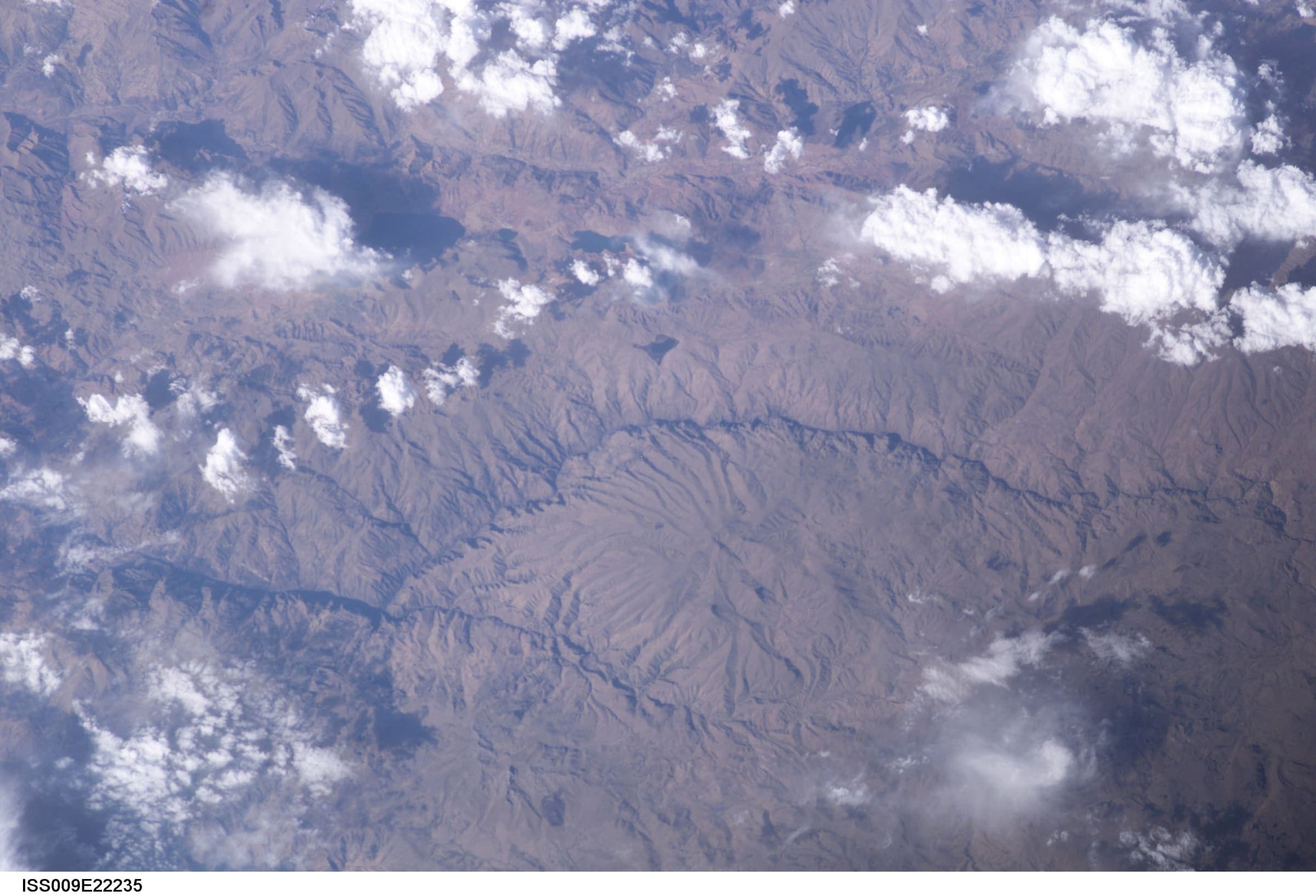
OSM sac_scale: ungraded · SAC T1 (mapped — no official SAC grade) · YDS 1
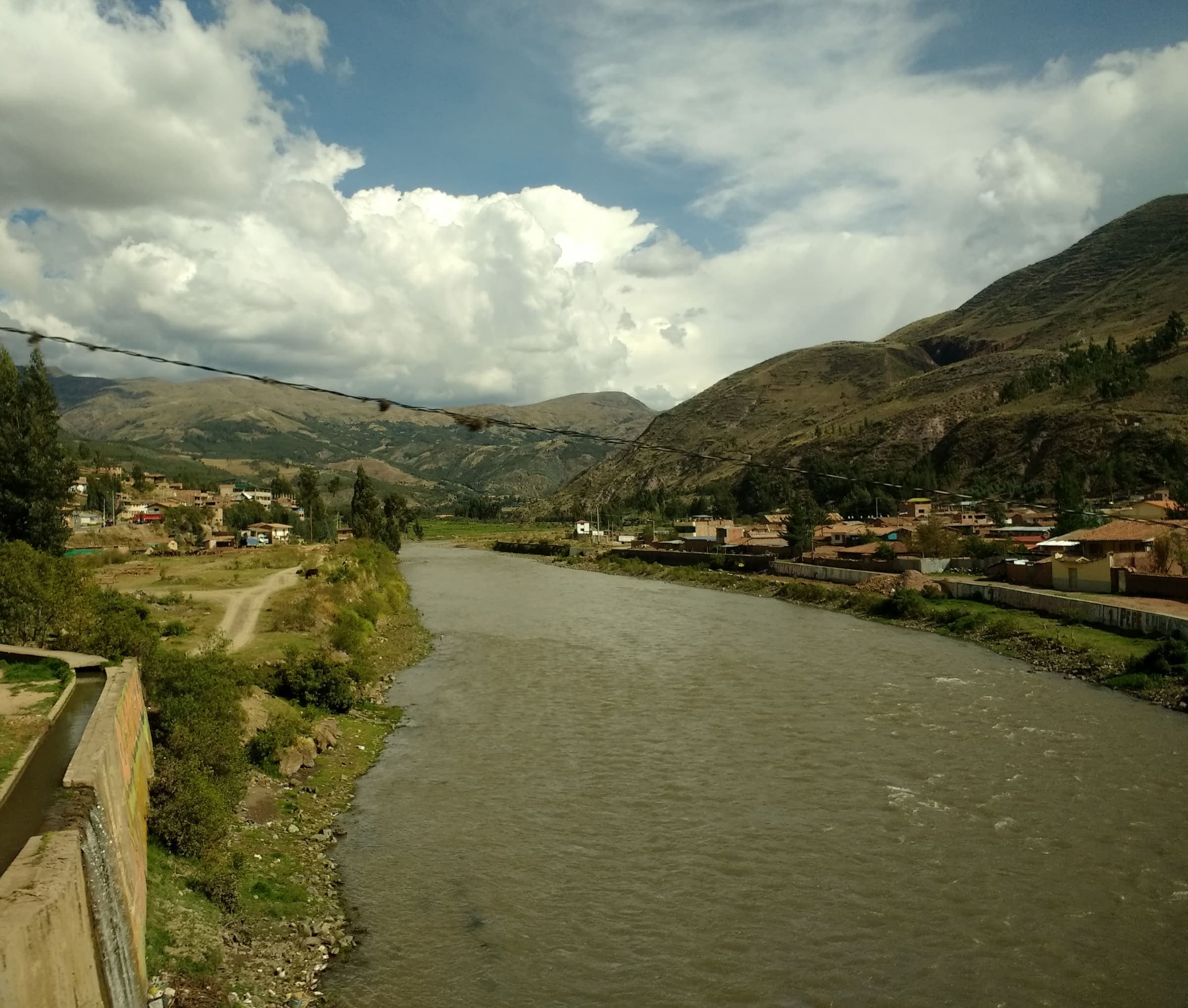
Choquequirao Trek
Out-and-back Cachora to Choquequirao (OSM relation 2072730). Published one-way 29.5 km; the same line walked back is 59.01 km and is not stored twice. Cusco / Apurímac. DEM high 2,965 m is the line max; the ruins landmark is ~3,050 m.
29.5 km · 4 days · permit
SAC T2 (mapped — no official SAC grade) · YDS 1
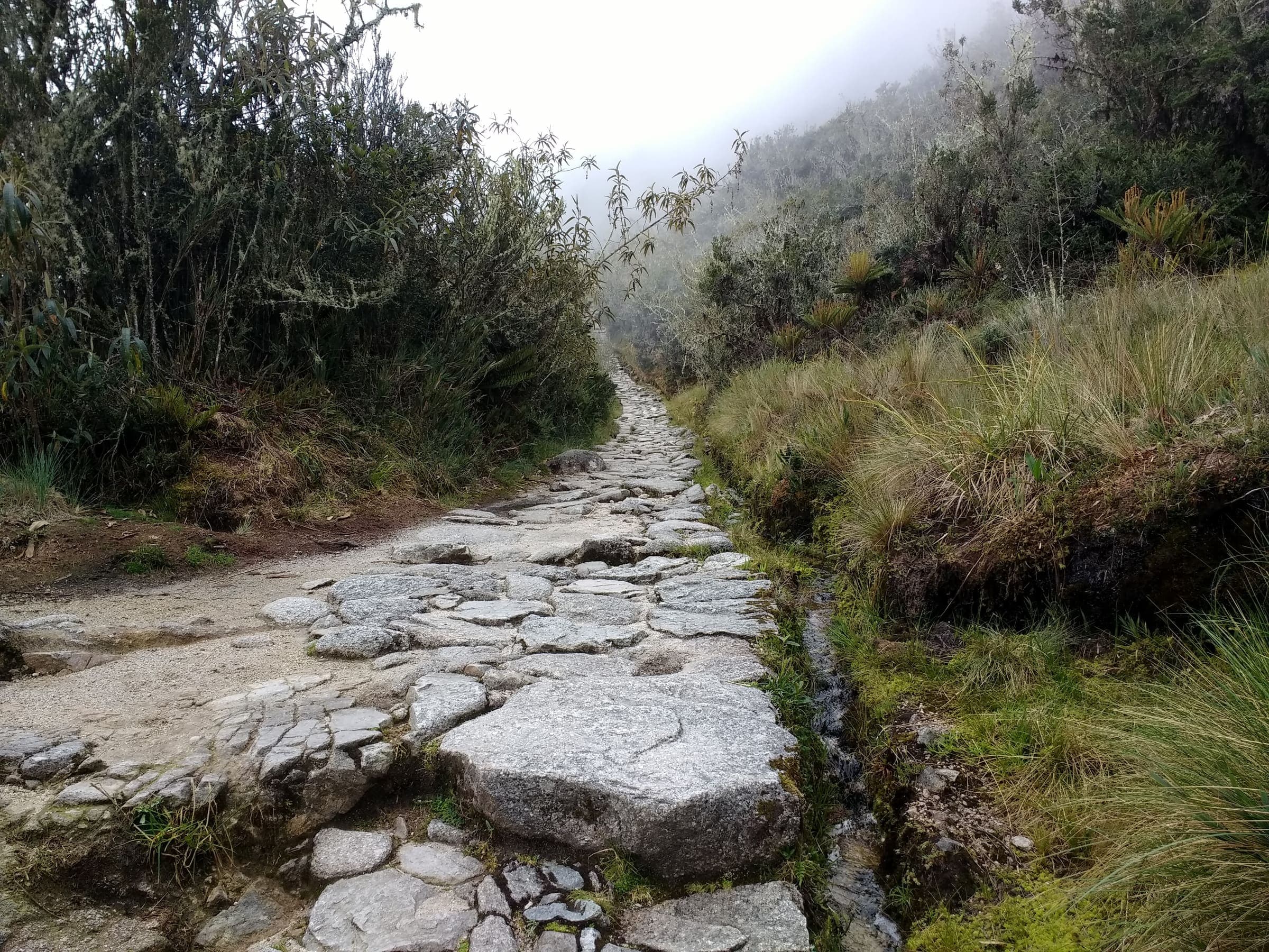
Lares Trek
Curated schematic — not walking distance. Pin-to-pin OSM named-waypoint line Lares hot springs → Cuncani → Patacancha. Cited itinerary ~35 km (provisional, secondary). No formal government permit (reported secondary). High 4,450 m is the Sicllaccasa Pass landmark, omitted from the line.
35 km · 4 days · permit-free on this record
OSM sac_scale: demanding_mountain_hiking · SAC T3 (mapped — no official SAC grade) · YDS 2
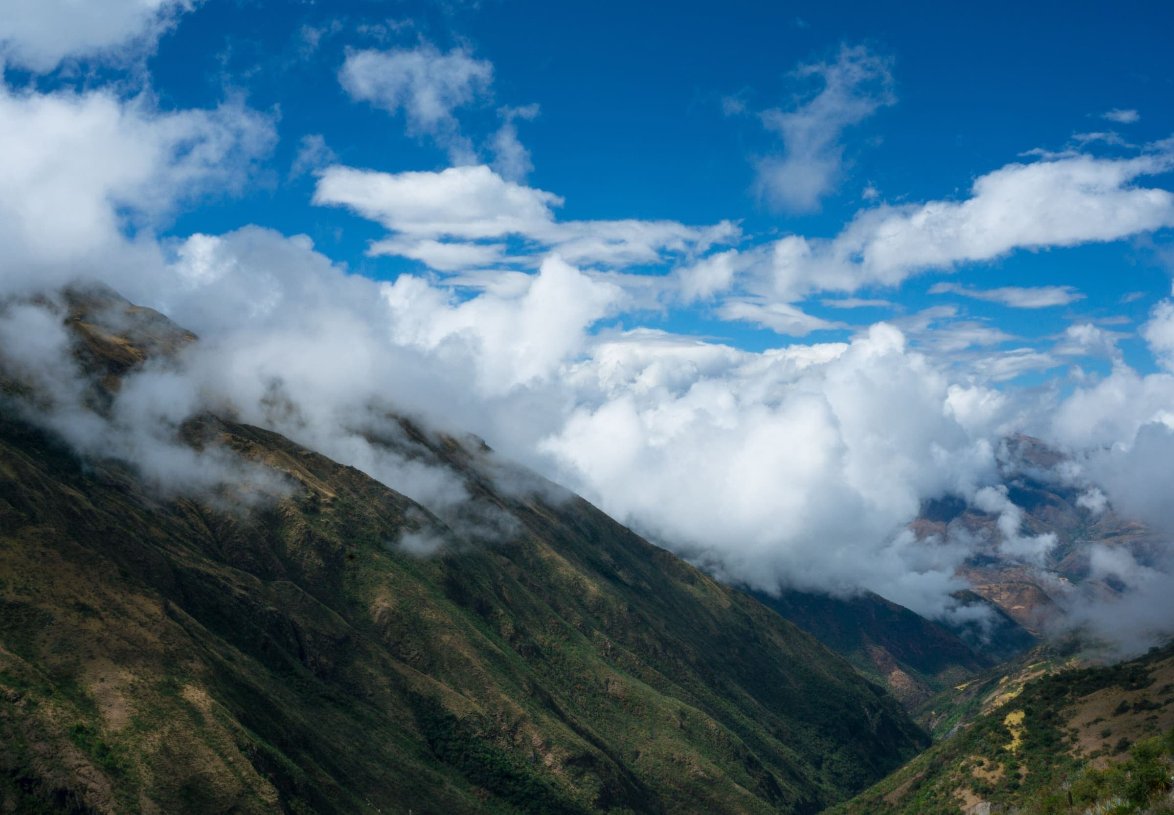
Inca Trail (Classic 4-day)
Classic Inca Trail, OSM relation 15703494 (not Qhapaq Ñan, not Salkantay). Government permit with a hard daily quota: 500 people/day including guides and porters, licensed operator only, no independent trekking, closed every February. Published OSM line 38.29 km, DEM high 4,211 m.
38.29 km · 4 days · permit
OSM sac_scale: hiking · SAC T1 (mapped — no official SAC grade) · YDS 1
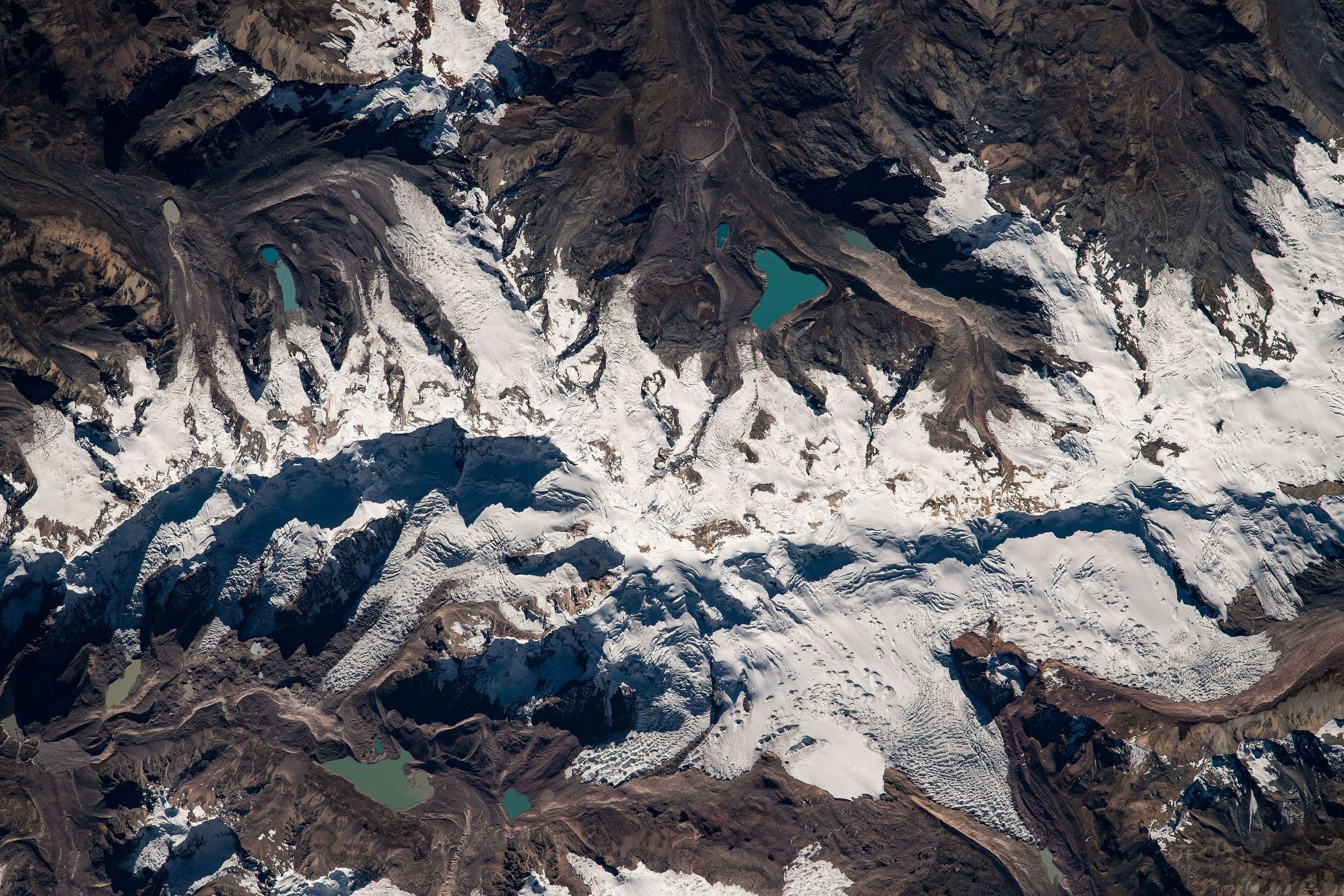
Salkantay Trek
Salkantay Trek, OSM relation 2376237 (Camino del Inca Salkantay), 75.08 km, DEM high 4,626 m. No government walking permit is reported (secondary); community fees at Soraypampa / Humantay are separate. Not the classic Inca Trail (15703494).
75.08 km · 5 days · permit-free on this record
OSM sac_scale: hiking; trail_visibility: excellent · SAC T1 (mapped — no official SAC grade) · YDS 1
Ausangate Circuit
OSM circuit of Apu Ausangate (relation 3475867), 96.96 km, DEM high 5,103 m. The line is disjoint (6 members, gap 440 m) and stays provisional. Community entrance and camping tolls are reported secondary.
96.96 km · 6 days · permit