
Filter · stored fields only
T2 hikes in Graubünden
4–8 days. permit-free. SAC is the grade on the record. Duration is typicalDays. Permit-free means permit.required is false on this desk — not a promise that no local fee exists.
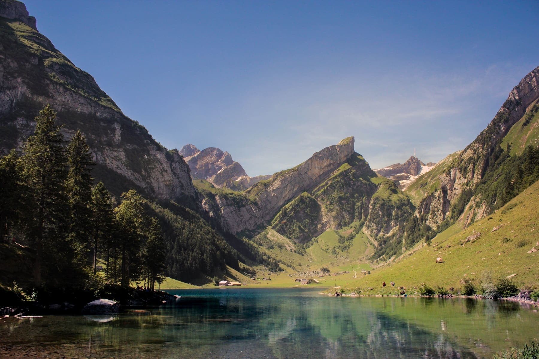
Wanderland: technical and physical grades on the route page · SAC T2 (mapped — no official SAC grade) · YDS 1
Prättigauer Höhenweg
Verified OSM relation: SchweizMobil regional hiking route 72, Prättigauer Höhenweg, Landquart to Klosters, 76.1 km OSM 2-D. Vertical figures sampled from Copernicus GLO-30.
76.1 km · 4 days
Wanderland: technical mittel, physical schwer · SAC T2–T3 (mapped — no official SAC grade) · YDS 1
Senda Segantini
Verified OSM relation: SchweizMobil regional hiking route 25, Senda Segantini, Savognin to Muottas Muragl, 72.3 km OSM 2-D. Vertical figures sampled from Copernicus GLO-30.
72.3 km · 4 days
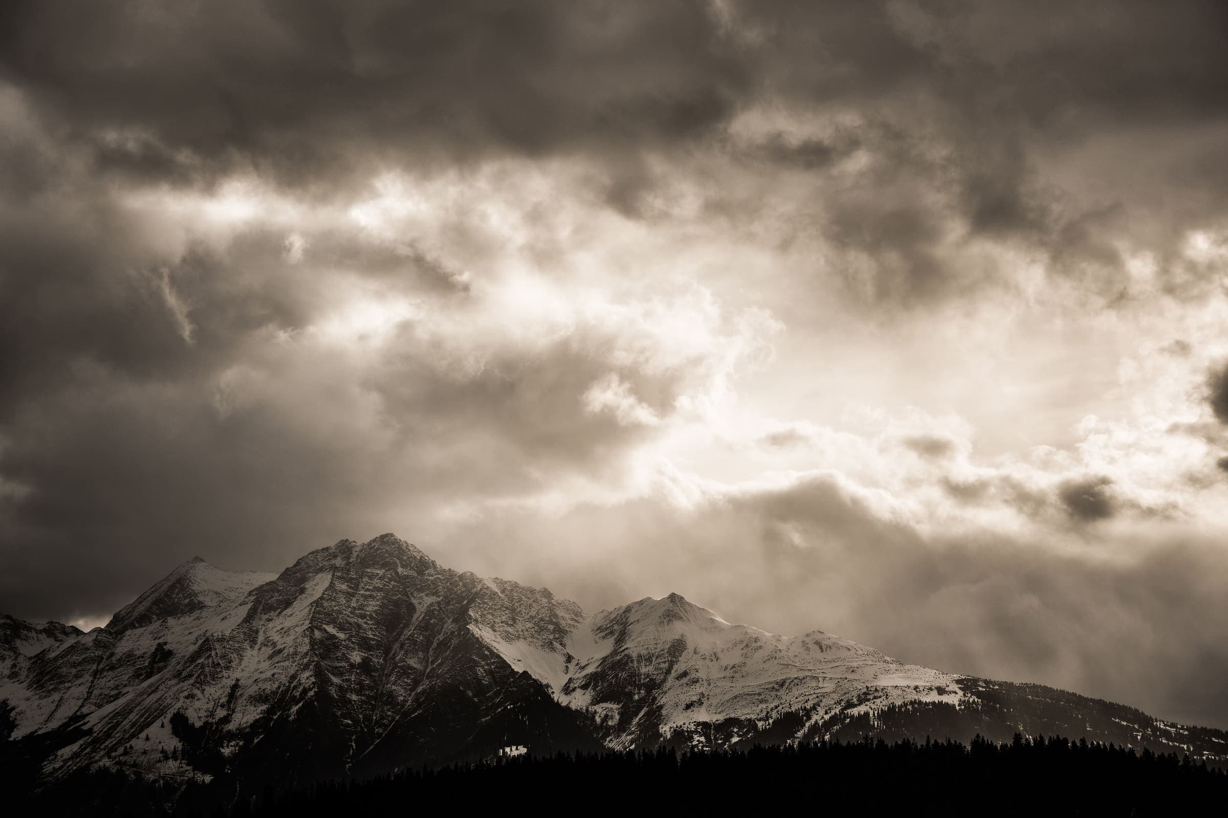
Wanderland: technical and physical grades on the route page · SAC T2 (mapped — no official SAC grade) · YDS 1
Senda Sursilvana
Verified OSM relation: SchweizMobil regional hiking route 85, Senda Sursilvana, Oberalppass to Chur, 104.1 km OSM 2-D. Vertical figures sampled from Copernicus GLO-30.
104.1 km · 5 days