
Filter · stored fields only
T1 hikes in Cusco
4–8 days. permit recorded as required. SAC is the grade on the record. Duration is typicalDays. Permit-free means permit.required is false on this desk — not a promise that no local fee exists.
OSM sac_scale: hiking; trail_visibility: excellent · SAC T1 (mapped — no official SAC grade) · YDS 1
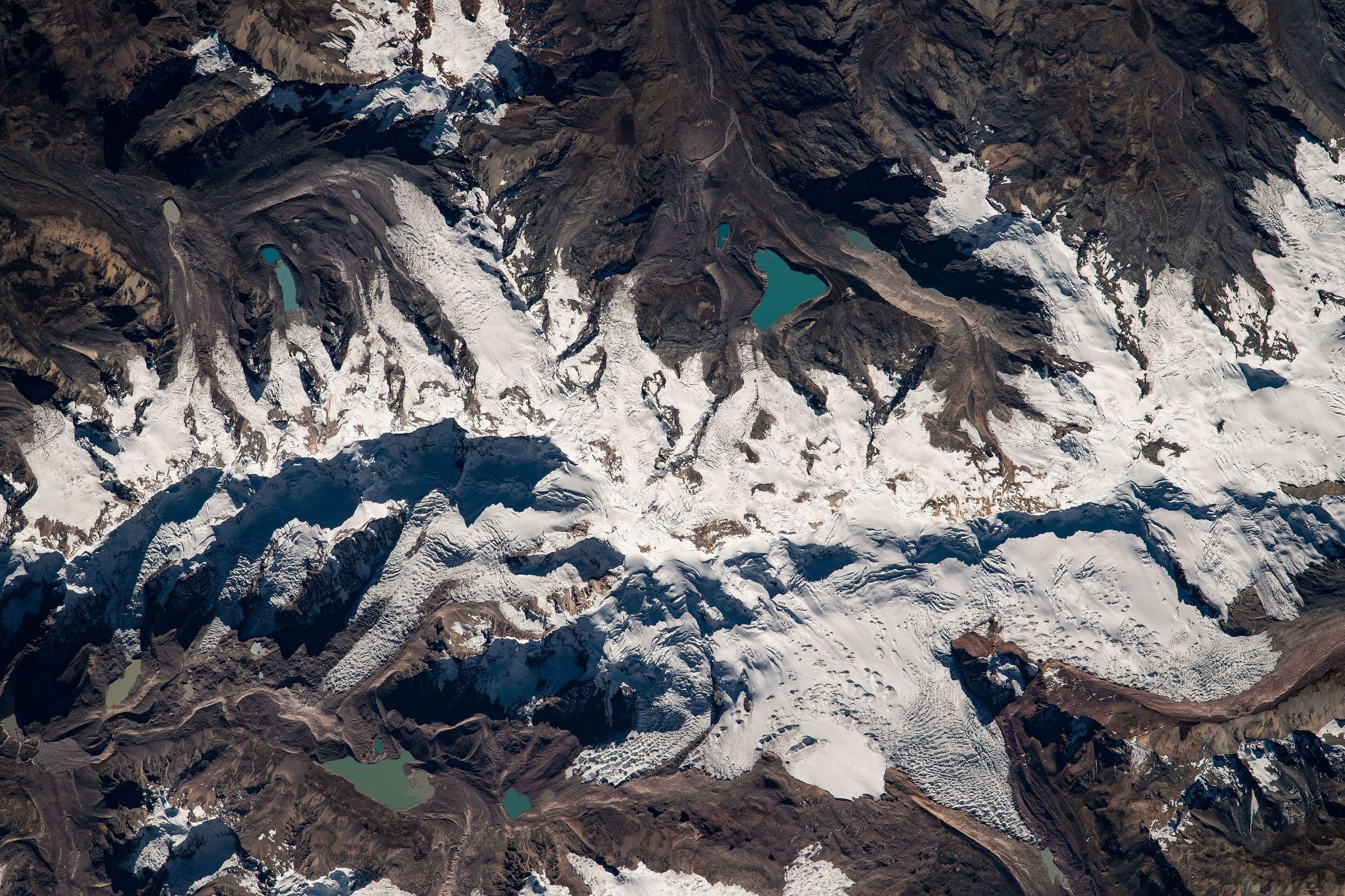
Ausangate Circuit
OSM circuit of Apu Ausangate (relation 3475867), 96.96 km, DEM high 5,103 m. The line is disjoint (6 members, gap 440 m) and stays provisional. Community entrance and camping tolls are reported secondary.
96.96 km · 6 days
OSM sac_scale: ungraded · SAC T1 (mapped — no official SAC grade) · YDS 1
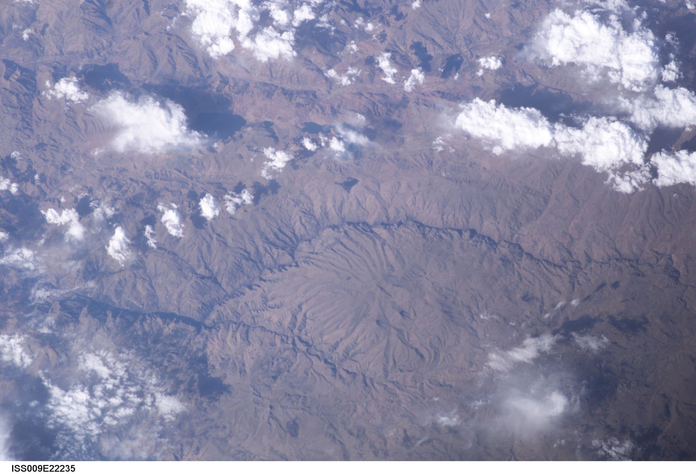
Choquequirao Trek
Out-and-back Cachora to Choquequirao (OSM relation 2072730). Published one-way 29.5 km; the same line walked back is 59.01 km and is not stored twice. Cusco / Apurímac. DEM high 2,965 m is the line max; the ruins landmark is ~3,050 m.
29.5 km · 4 days